The Gambia
River creeks, mangroves and Atlantic beaches meet music, craft traditions and lively market towns.
Worth coming back!
Wanderlama keeps growing with new destinations, helpful information and exciting features. Check back soon and discover what is new!
Travel to The Gambia
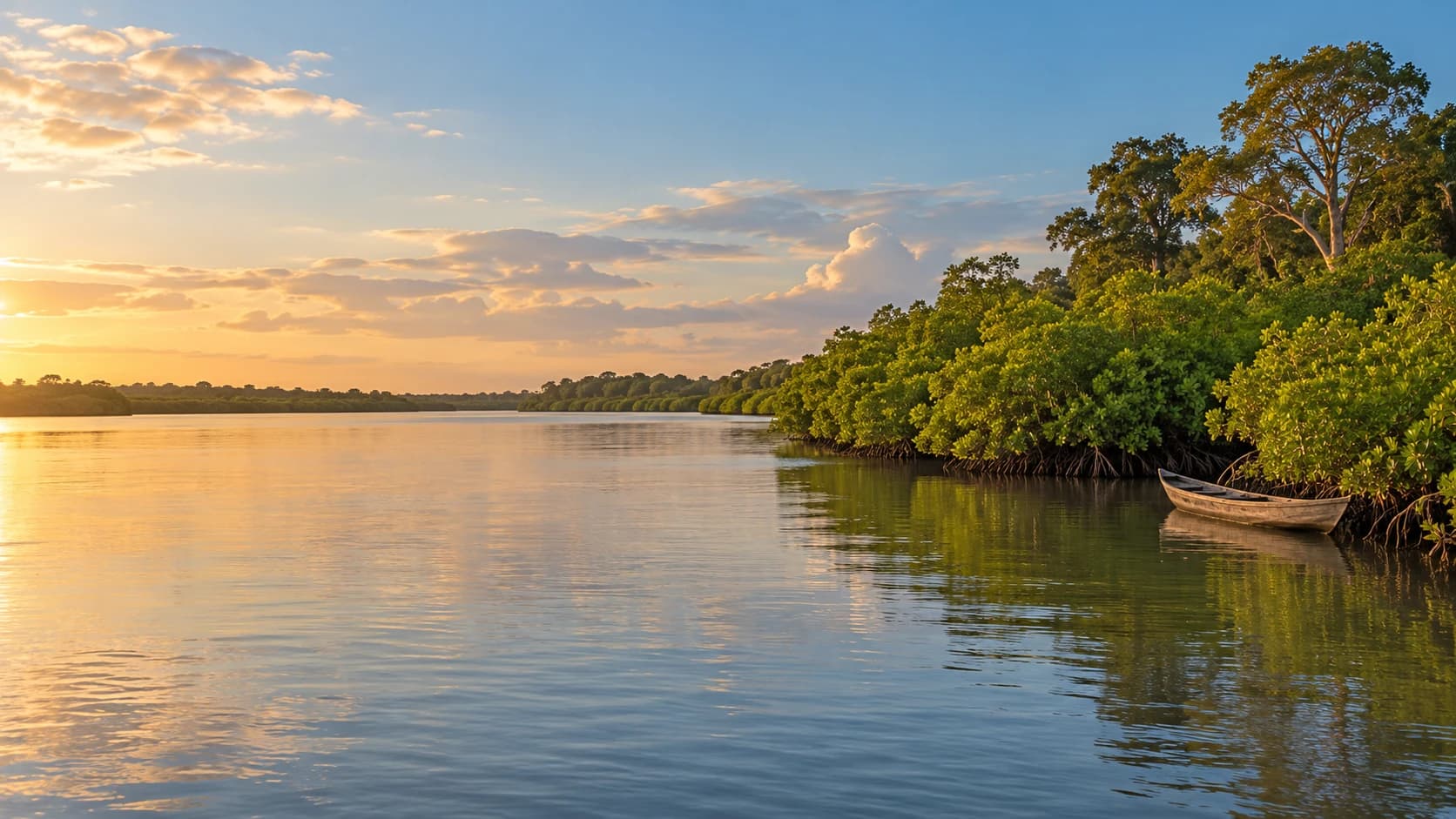
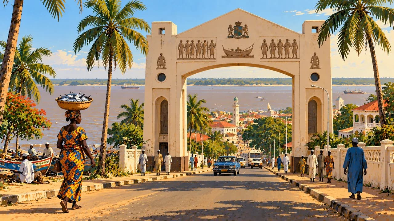
The Gambia follows its namesake river through West Africa, surrounded by Senegal except along its Atlantic coast. Mangroves, tidal creeks, woodland and cultivated inland landscapes extend beyond the beach resorts. Banjul is the capital at the river mouth, while Serrekunda is a major centre of markets and everyday urban life. English is official, alongside widely spoken Mandinka, Wolof, Fula and other languages.
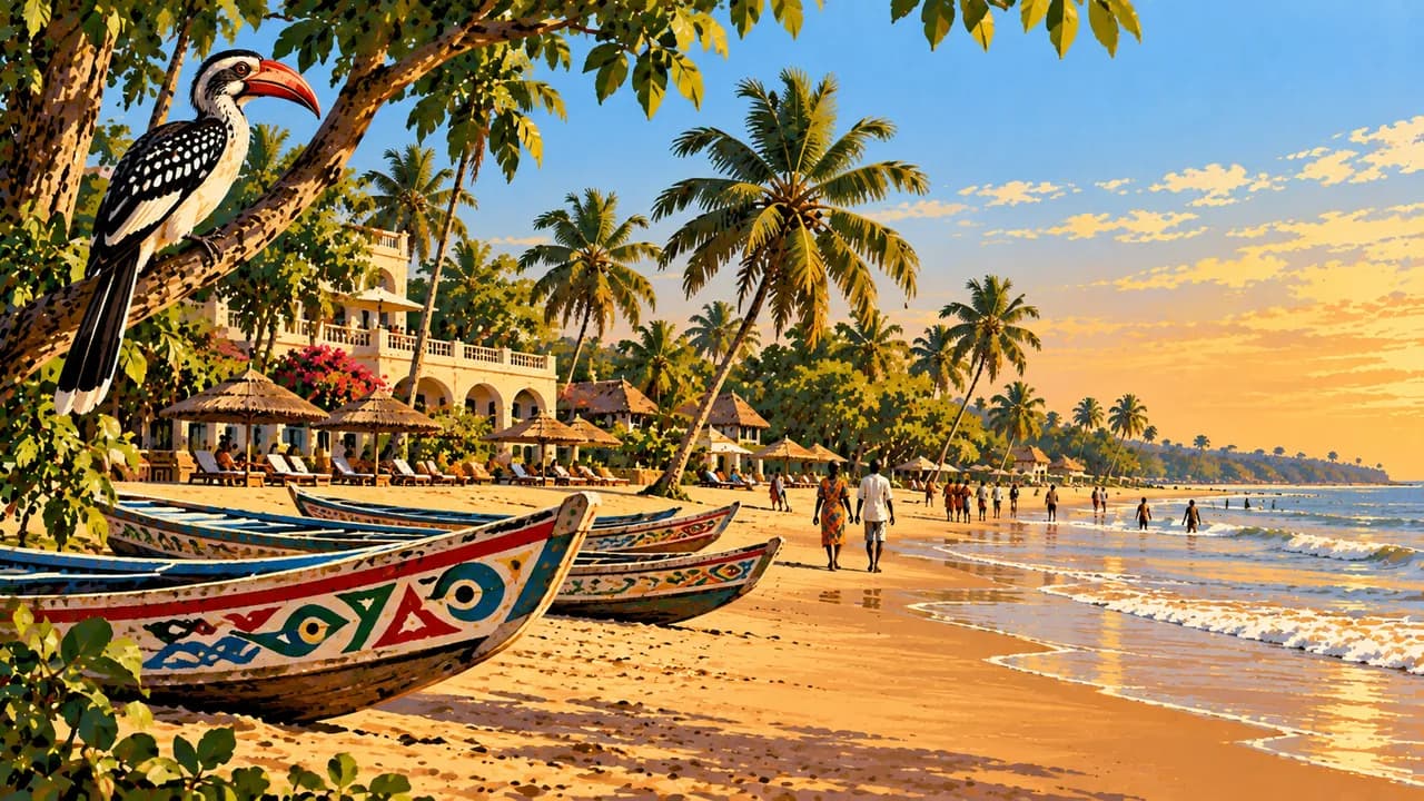
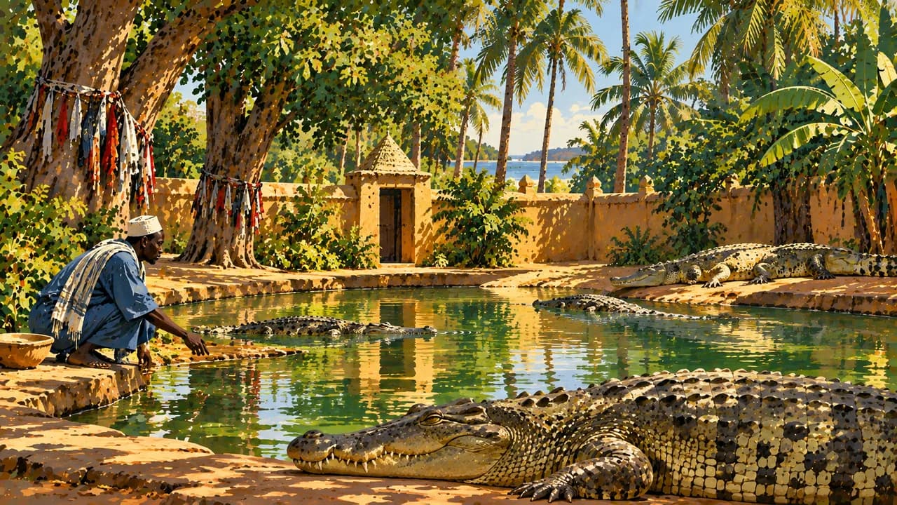
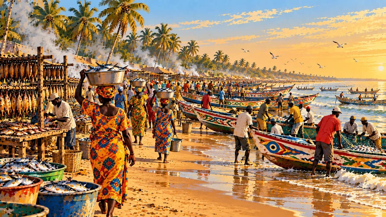
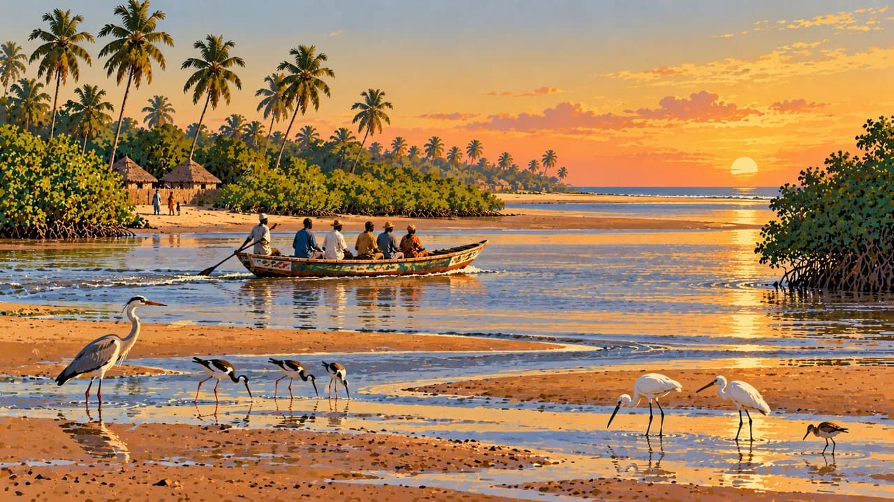
Kololi and Kotu combine beaches with tourism facilities, while Bakau has fishing life and sacred Kachikally traditions. Tanji is known for its working fishing shore. Sanyang and Kartong add southern coastal landscapes and wetlands. Residents’ livelihoods and religious places deserve respect, and photographs require consent. Ocean currents can be dangerous even beside inviting beaches.
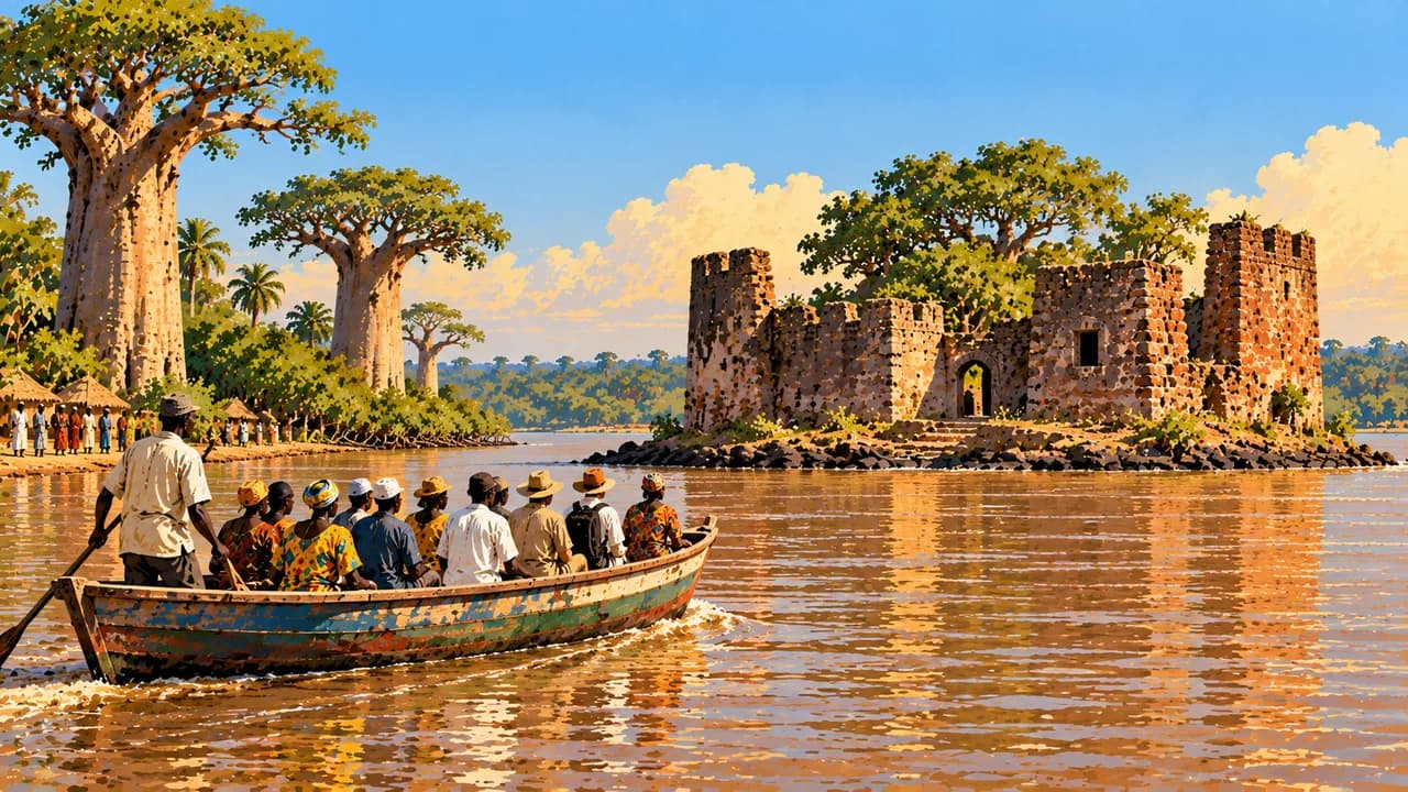
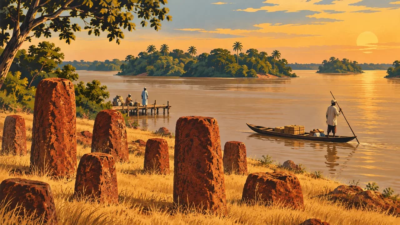
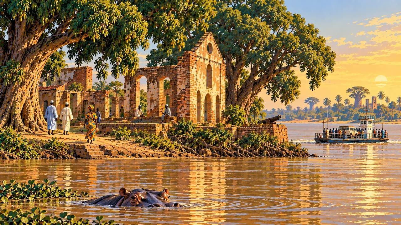
Across the estuary, Barra and Fort Bullen recall river crossings and the suppression of the slave trade. Juffureh and Kunta Kinteh Island belong to a wider UNESCO-listed heritage landscape documenting enslavement, trade and abolition. These are places of remembrance. Wassu’s laterite stone circles form part of the transboundary Senegambian World Heritage property, associated with ancient burial traditions.
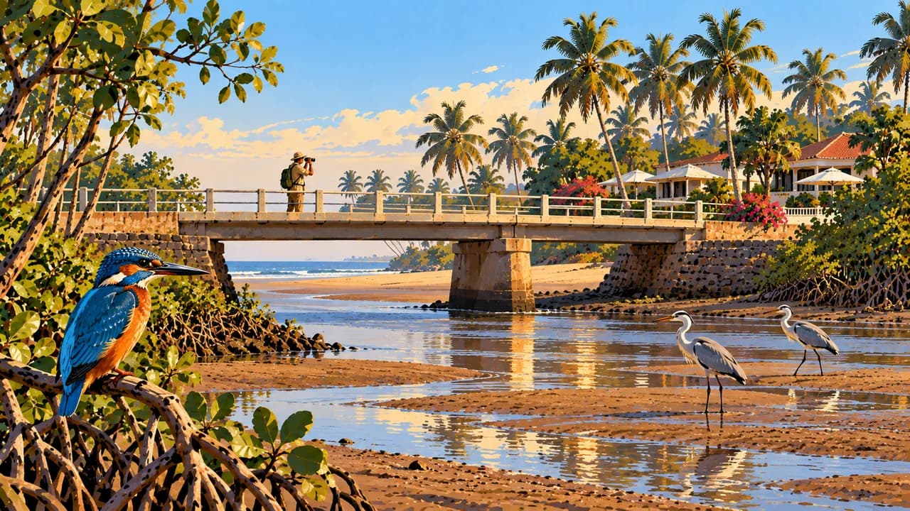
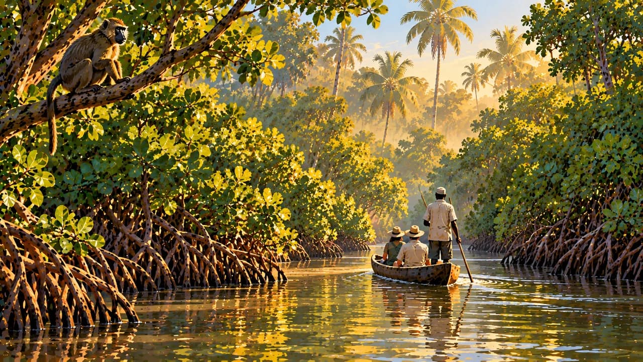
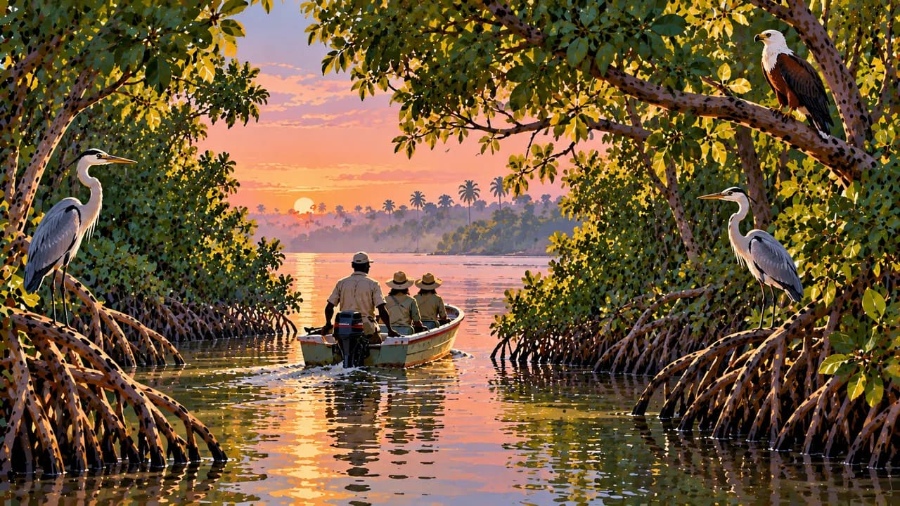
Brikama adds carving and musical traditions, while Makasutu combines woodland and mangrove habitats. Tendaba is associated with river wetlands and birdwatching. Farafenni illustrates cross-border trade, Kuntaur connects with river-island landscapes, and Janjanbureh preserves layers of colonial history. Farther east, Basse Santa Su is an upper-river trading centre. These places broaden the picture beyond the coast.
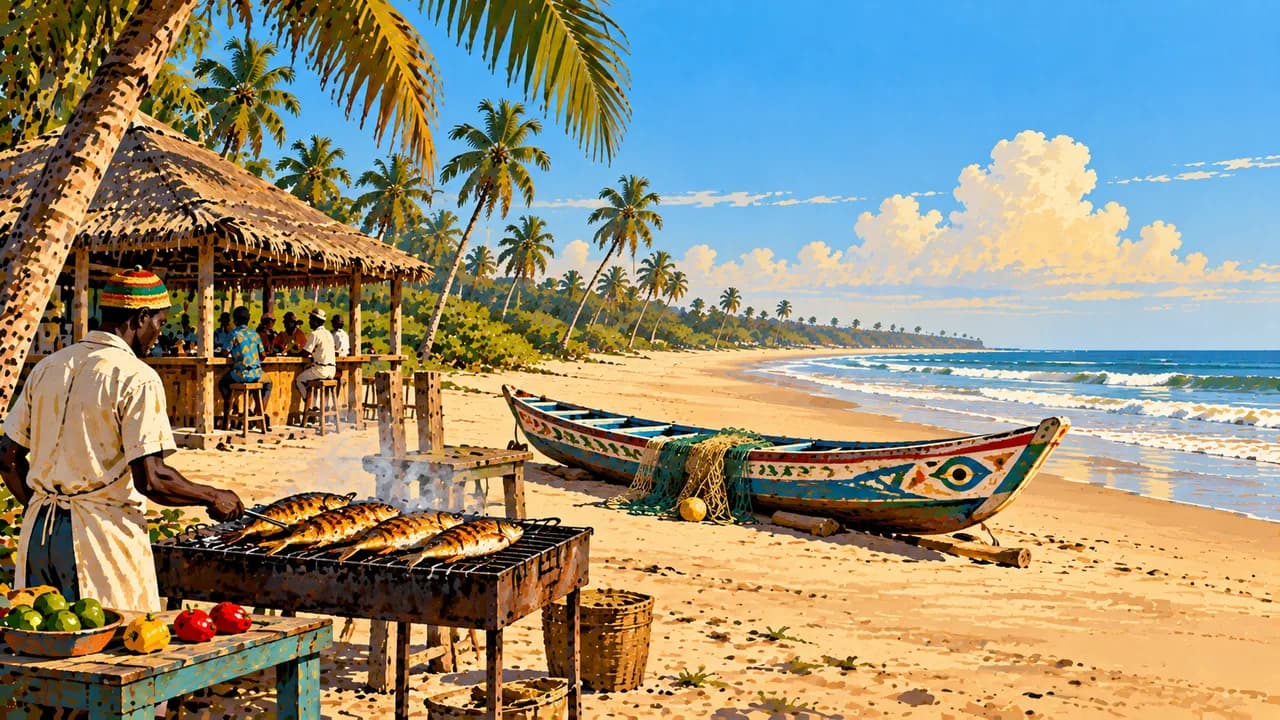
The River Gambia National Park shelters hippos and island forests. Its chimpanzees belong to a long-running rehabilitation and protection project, with observation subject to conservation rules and no guaranteed sightings. Rice, fish and groundnuts shape local cooking, including benachin rice dishes, domoda groundnut stew and citrus-flavoured yassa.
November to April generally offers drier conditions, with stronger inland heat later in the dry season. Summer rains can interrupt access. Current official advice matters, including reported protests around Greater Banjul. Avoid demonstrations and check local conditions before travelling.
AI edited
- 8
- Local government areas The statistics bureau distinguishes eight Local Government Areas, including Banjul and Kanifing. These local administrative areas differ from the five geographical regions and the climate-card groupings.
- ≈ 2.4 million
- Population Rounded from 2,422,712 residents in the Gambia Bureau of Statistics preliminary 2024 census report. This is a dated count, not a current population update.
- 11,295 km²
- Area Surface area in the UN World Statistics Pocketbook 2025, with a 2024 reference year. This includes water and differs from land area alone.
- English
- Language English is the official language. Many Gambian languages are also used in everyday life.
- Mandinka, Wolof, Fula and Jola
- Other languages Examples of widely used languages and language groups. Others include Serahuli and further community languages. Usage and spelling vary regionally.
- Gambian dalasi (GMD)
- Currency The Central Bank of The Gambia issues the dalasi, shown as D. Its ISO code is GMD. Cash is widely used, while card acceptance and ATM availability vary by location.
- G
- Socket type Type G plugs have three rectangular contacts. Nominal supply is 230 V at 50 Hz. Check appliance compatibility and local installation conditions.
- Banjul
- Capital Banjul is the capital at the river mouth. The densely settled urban area extends well beyond the city boundary. The clock shows Banjul local time.
- Right-hand traffic
- Driving side Traffic drives on the right. Limited lighting, variable road quality and rain increase accident risks. Avoid overland driving after dark.
- UTC±0
- Time zone Greenwich Mean Time throughout the year, without seasonal clock changes. The local clock uses Africa/Banjul.
- 2
- UNESCO cultural sites The UNESCO cultural properties are Kunta Kinteh Island and Related Sites and the Stone Circles of Senegambia shared with Senegal. Wassu belongs to the second property. Tentative sites are not inscriptions.
The Gambia on the map

Map data: geoBoundaries (CC BY 4.0), © OpenStreetMap contributors (ODbL), Natural Earth
Climate and best time to travel
The dry season from roughly November to May usually brings little rain. November to April often offers more comfortable coastal conditions, while inland heat rises sharply towards the end of the dry season. Harmattan dust can affect visibility and comfort. Heavy rain from June to October may disrupt roads and access to remote areas. Birdwatching depends on habitat, water levels and migration. The river national park’s chimpanzee project is subject to conservation rules, and sightings are not guaranteed. Dangerous ocean currents require caution on beaches. Follow current official advice, including reports of protests around Greater Banjul. Month windows are broad climate guidance and guarantee neither weather nor access. Local photography and conduct rules apply around people and religious places.
Destinations in The Gambia
 AI generated
 AI generated
 AI generated
 AI generated
 AI generated
 AI generated
 AI generated
 AI generated
 AI generated
 AI generated
 AI generated
 AI generated