Burkina Faso
Earthen architecture, cinema, music and craftsmanship meet distinctive savanna and rock landscapes.
Worth coming back!
Wanderlama keeps growing with new destinations, helpful information and exciting features. Check back soon and discover what is new!
Travel to Burkina Faso
Burkina Faso is a landlocked West African country spanning dry northern landscapes, central plateaus and greener southern savannas. Its cultural diversity is expressed through music, cinema, weaving, metalworking and earthen architecture. Contemporary creative life and longstanding community traditions are as important to its identity as archaeological monuments and natural landscapes.
Germany’s Federal Foreign Office warns against travel to Burkina Faso except Ouagadougou and Bobo-Dioulasso, and strongly advises against using the N1 road between them. Terrorist attacks and kidnapping threaten areas outside the cities, while both cities also face attack risks. The places described below do not imply safe access. Current official advice and restrictions take precedence over tourism promotion.
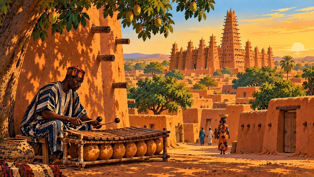
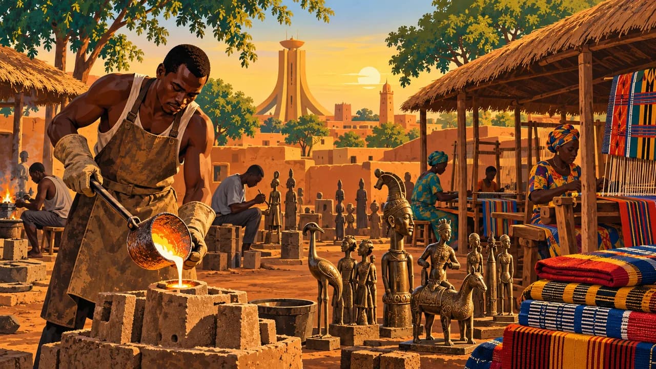
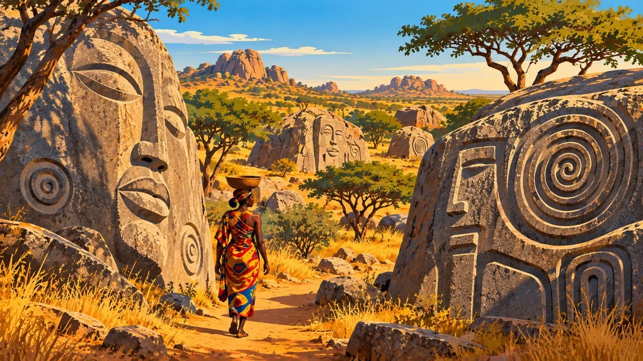
Ouagadougou is the capital and home of FESPACO, the pan-African cinema and television festival. Craft workshops and cultural institutions reflect its creative role. Laongo adds sculptures worked into granite outcrops. Bobo-Dioulasso combines musical traditions, old neighbourhoods, markets and a distinctive earthen mosque. Religious places, ceremonies and residents’ privacy deserve respect, and photography is subject to local restrictions.
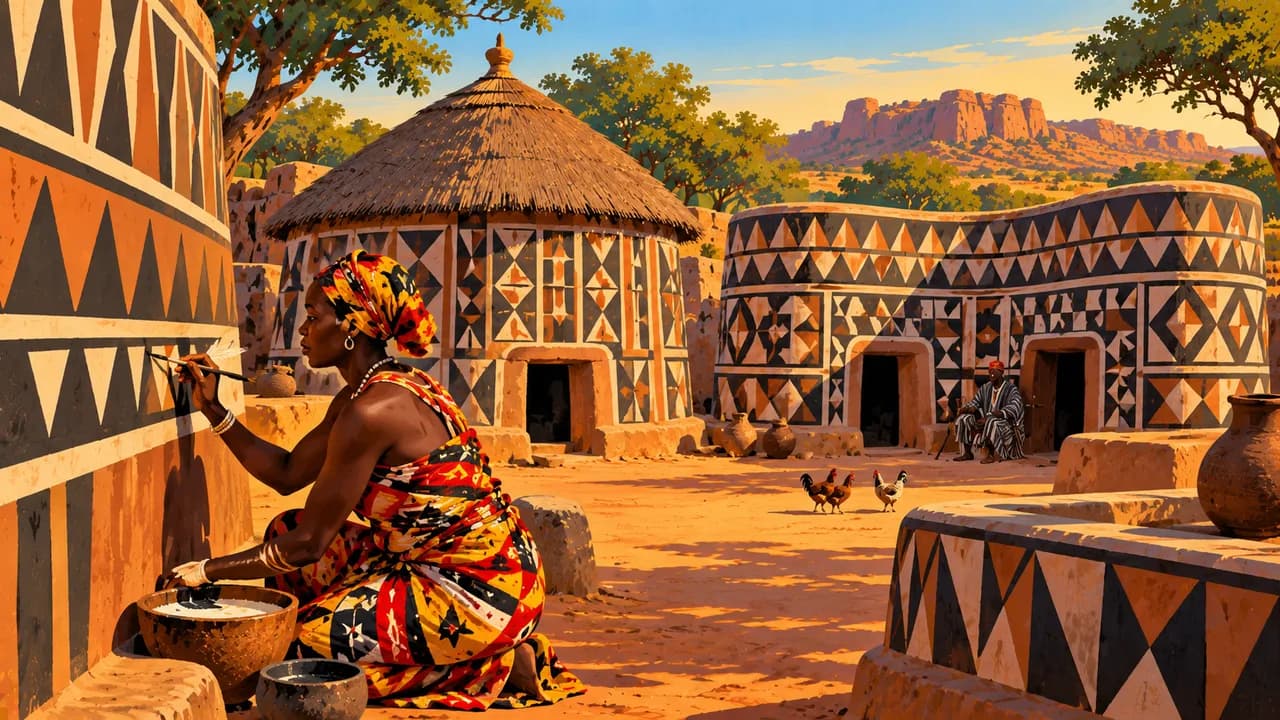
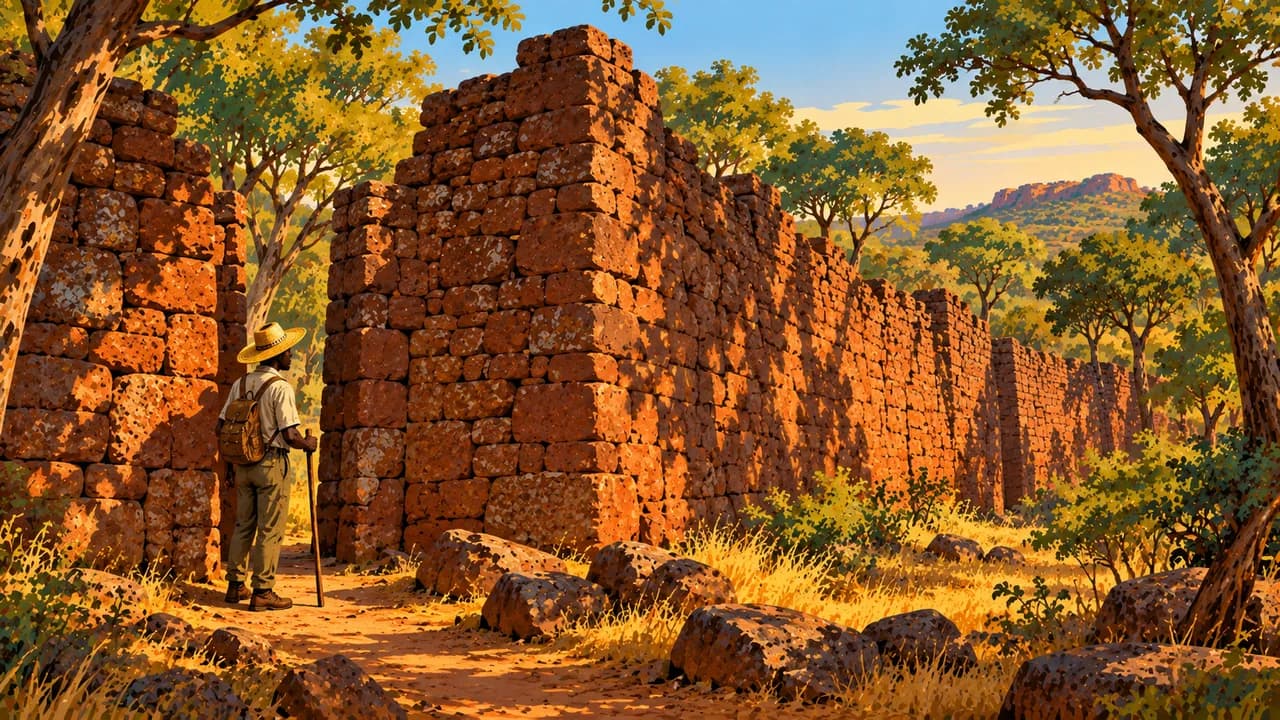
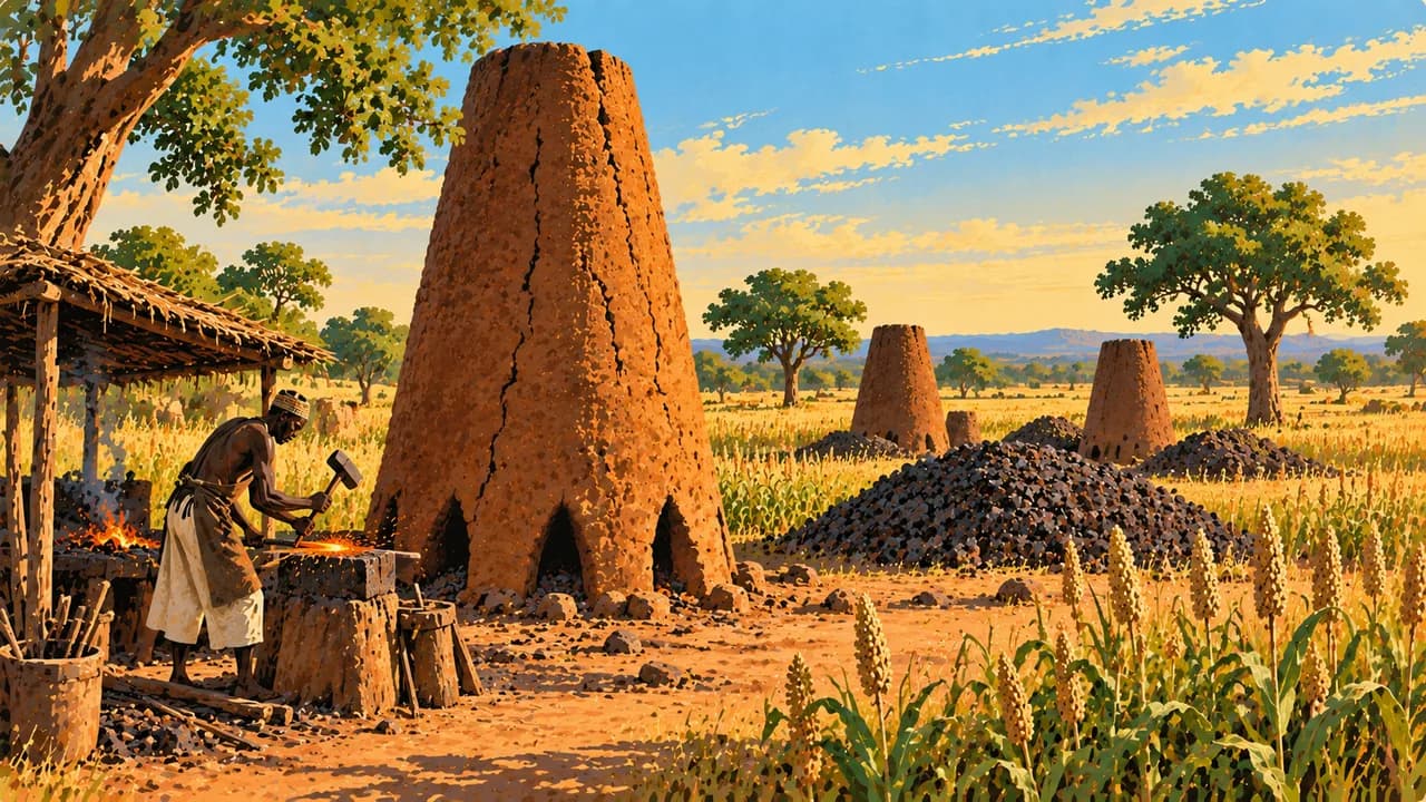
Tiébélé’s UNESCO-listed royal court preserves Kassena earthen architecture and decorative knowledge maintained by women. Loropéni’s stone enclosures recall historical gold-trading networks, with aspects of their history still debated. Douroula belongs to the UNESCO-listed ancient ferrous metallurgy sites, documenting early iron production and technical knowledge. These different traditions should not be reduced to a single cultural image.
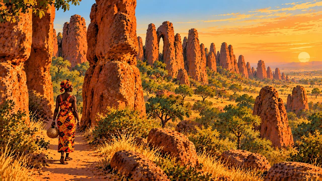
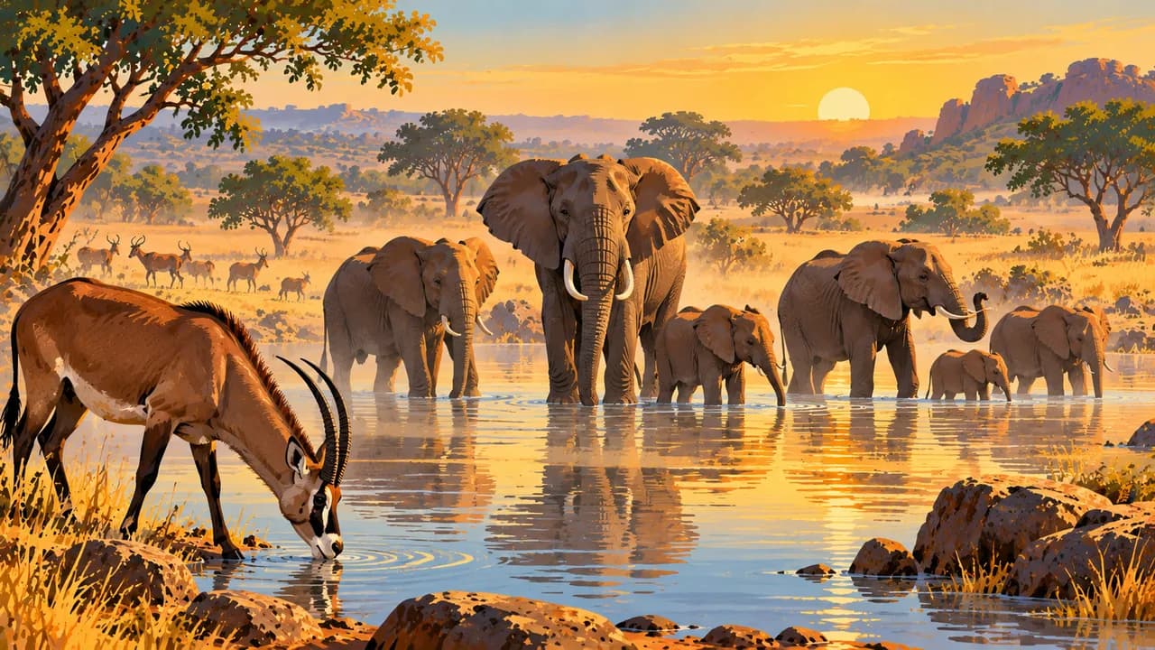
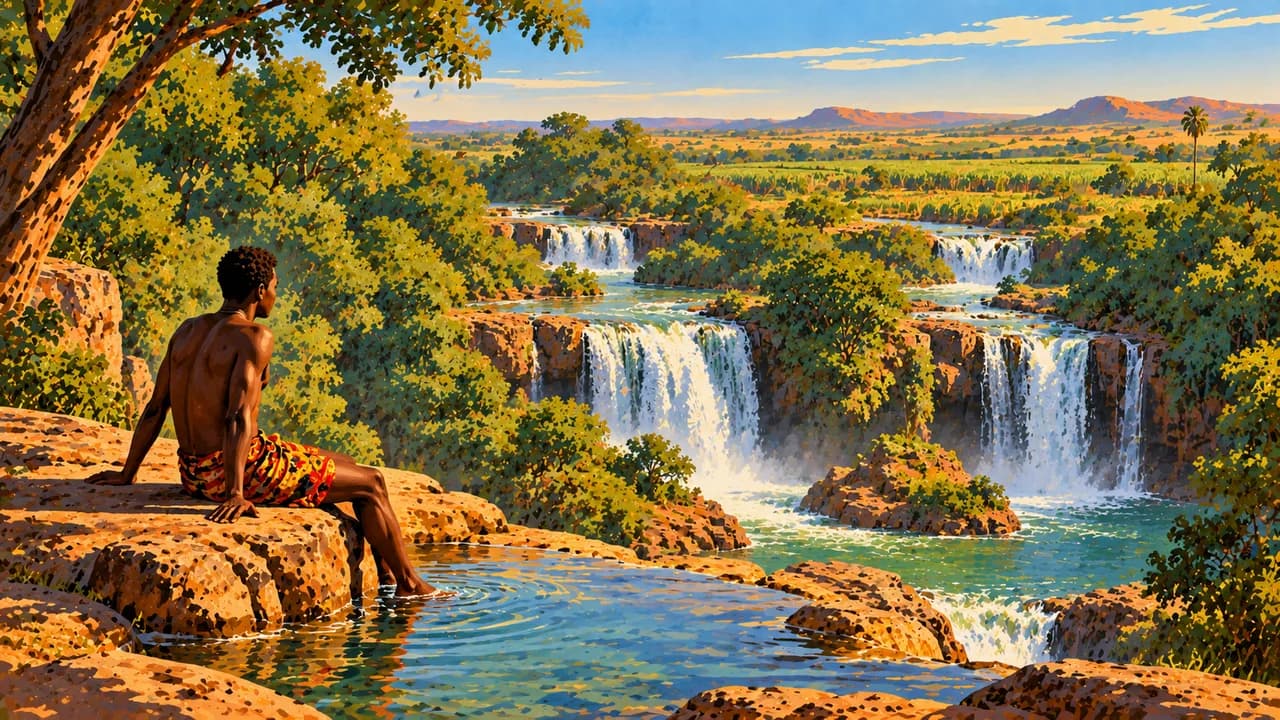
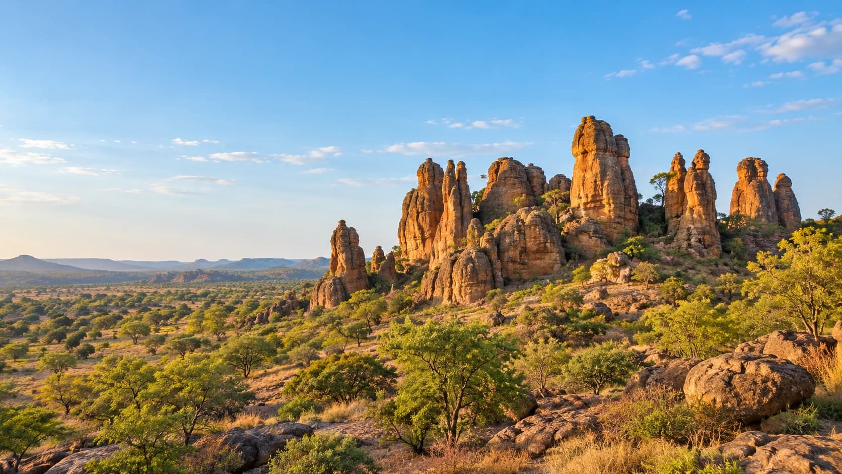
Around Banfora, Karfiguéla waterfalls, Lake Tengréla and the Fabédougou domes illustrate the southwest’s landscape variety. The Sindou Peaks form another distinctive rock landscape. Nazinga contains wooded savanna and wildlife habitat. None of these places is presented as an unrestricted excursion or a guarantee of wildlife sightings under current security conditions.
Regional food includes tô, a firm cereal preparation served with sauces, and rice dishes such as riz gras. The rainy season can interrupt roads and crossings. Drier months bring other challenges, including heat and Harmattan dust. Seasonal appeal and heritage status do not remove security risks.
AI edited
- 17
- Regions The July 2025 administrative reform established seventeen regions and forty-seven provinces. This describes the legal administrative framework, not territorial control or safe access.
- ≈ 24.1 million
- Population UN World Statistics Pocketbook 2025 medium-fertility projected estimate of 24.075 million, rounded to 24.1 million. Conflict and displacement complicate population assessment. This is not a new census.
- 274,200 km²
- Area UN World Statistics Pocketbook 2025 surface-area figure, with a 2023 reference year. Statistical reference years and area conventions may differ between sources.
- National languages
- Languages Under Article 35, national languages made official by law are the official languages. French and English are working languages. The tile does not claim every community language has been made official yet.
- French and English
- Working languages The constitutional text identifies French and English as working languages. This legal designation is distinct from proficiency or everyday use, which varies by community and region.
- West African CFA franc (XOF)
- Currency The currency is the West African CFA franc issued by BCEAO, ISO code XOF. It is distinct from the Central African CFA franc XAF. Banking and payment services vary by place and security conditions.
- C · E
- Socket types Electrical Safety First lists C and E plugs and a nominal supply of 220 V at 50 Hz. Check appliance compatibility, grounding and local installation conditions.
- Ouagadougou
- Capital Ouagadougou is the capital. The clock shows local time using Africa/Ouagadougou.
- Right-hand traffic
- Driving side Traffic drives on the right. This practical fact does not imply safe road travel. Security restrictions, road conditions and current official advice remain decisive.
- UTC+0
- Time zone Burkina Faso observes GMT, UTC+0, throughout the year without seasonal clock changes.
- 3
- UNESCO cultural sites UNESCO lists Loropéni, the ancient ferrous metallurgy sites and the Royal Court of Tiébélé, inscribed in 2024. W-Arly-Pendjari is a separate natural property. Serial components and tentative sites are not counted as extra inscriptions.
Burkina Faso on the map

Map data: geoBoundaries (CC BY 4.0), © OpenStreetMap contributors (ODbL), Natural Earth
Climate and best time to travel
Germany’s Federal Foreign Office warns against travel to Burkina Faso except Ouagadougou and Bobo-Dioulasso, and strongly advises against using the N1 road between them. Both cities also face attack risks. Terrorism, kidnapping and restrictions mean these cards describe climate and heritage, not safe access or travel recommendations. Check current official advice before any planning. The north is drier, while southern and southwestern savannas receive more seasonal rain. Heavy rain, broadly from June to October, can interrupt roads and crossings. November to February is often less hot and drier, although Harmattan dust can reduce visibility and comfort. Heat intensifies before the rains. Waterfall flow and wildlife sightings vary. No season removes the security risks or guarantees access.