Nigeria
Creative cities, royal traditions and living sacred landscapes meet rainforest, savannas and distinctive regional kitchens.
Worth coming back!
Wanderlama keeps growing with new destinations, helpful information and exciting features. Check back soon and discover what is new!
Travel to Nigeria
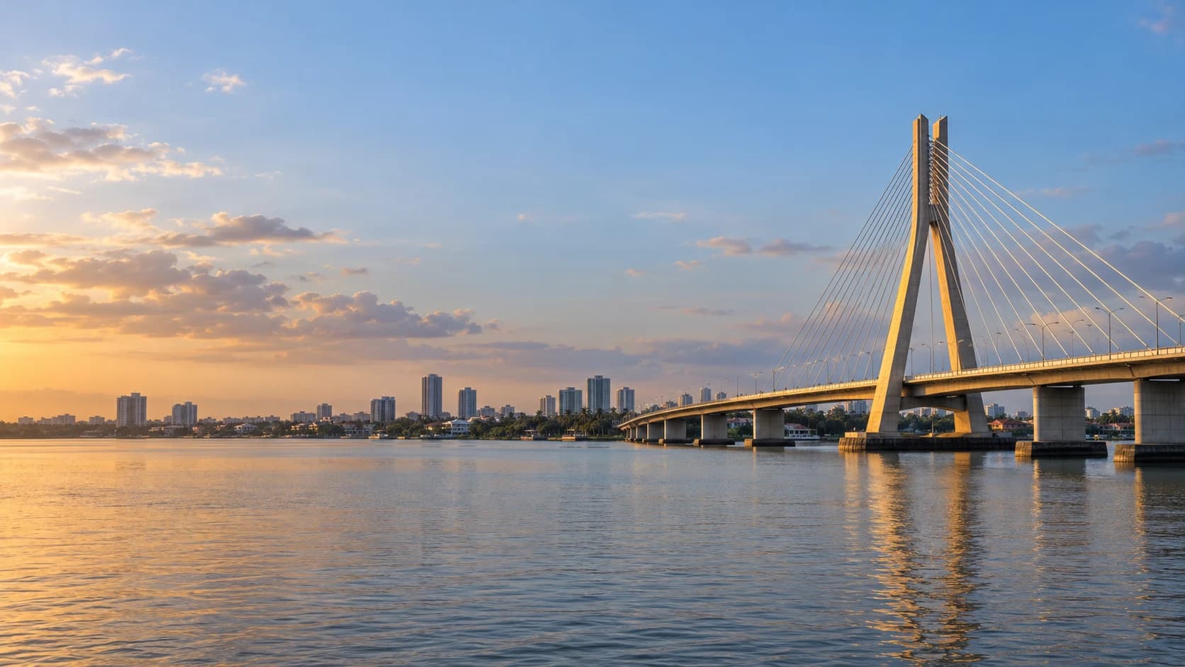
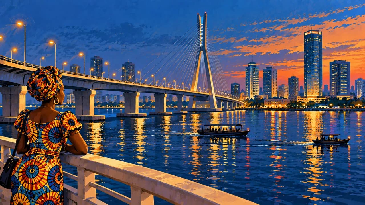
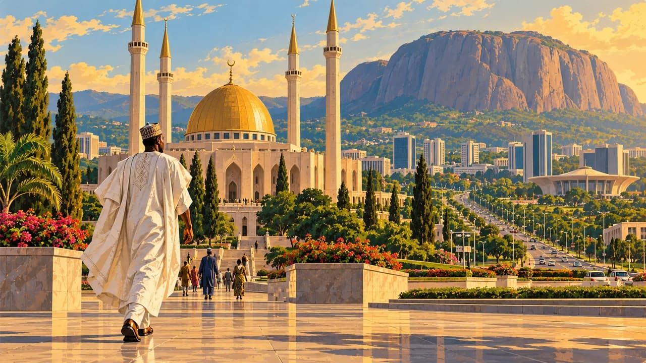
Nigeria stretches from Atlantic lagoons and rainforest to savannas and the drier north. Lagos combines markets, art, Afrobeats and Nollywood. Abuja, the capital, brings religious buildings and Aso Rock into the national portrait. Many languages and regional identities shape everyday life.
The German Foreign Office warns against travel to many regions, including Kano, Plateau around Jos, Bauchi with Yankari, northern Adamawa with Sukur, and the Cameroon border. For Edo and Cross River, its strong advice against travel exempts only their capitals when reached by air. It also strongly advises against coastal waters and generally against overland travel. Elsewhere, non-essential travel is discouraged except to Abuja, Lagos and greater Ibadan, where particular caution remains necessary. Check current regional and health guidance. Kidnapping, terrorism and violent crime remain risks.
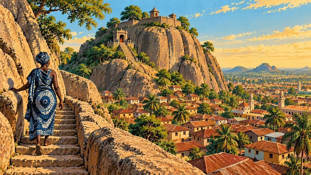
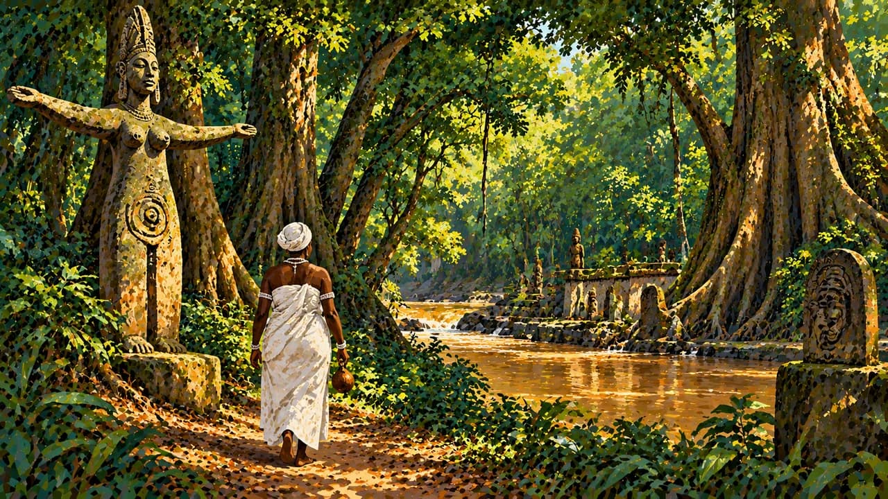
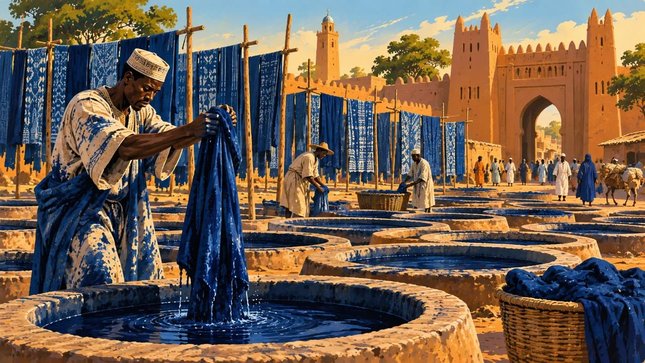
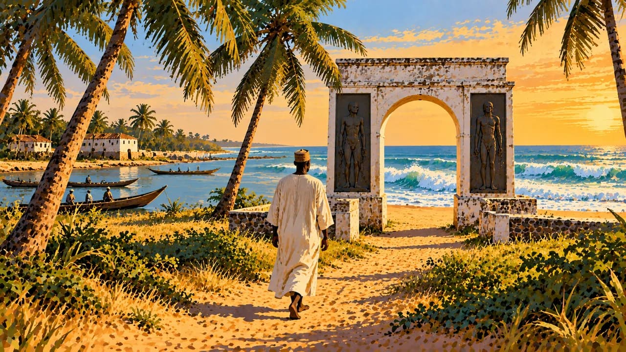
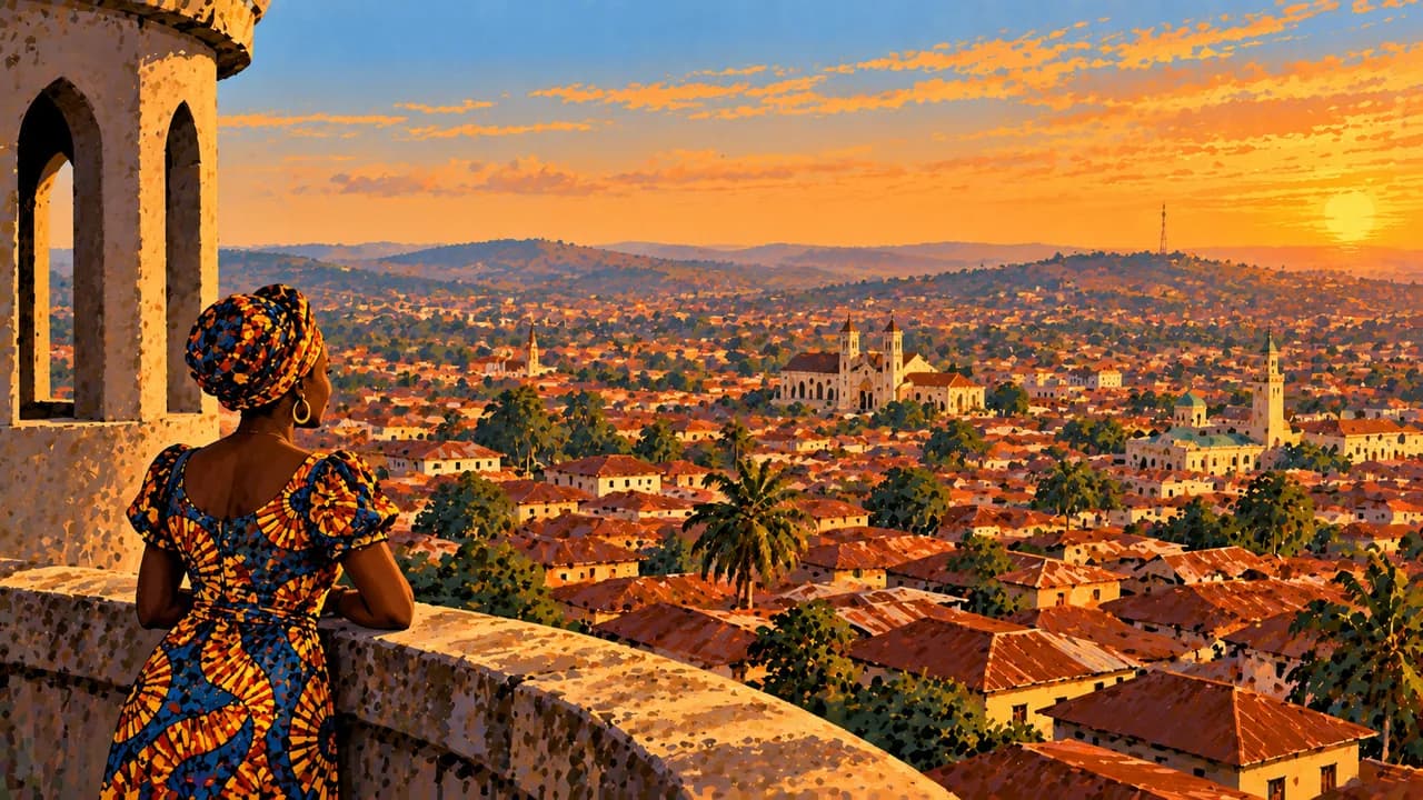
In the southwest, Badagry preserves places of remembrance connected with the transatlantic slave trade. Abeokuta combines Olumo Rock and adire indigo textiles, while Ibadan adds university life and historic urban architecture. Erin-Ijesha's waterfalls cascade through wooded hills. The Osun-Osogbo Sacred Grove is a UNESCO cultural property and a living Yoruba religious landscape, with shrines and sculptures.
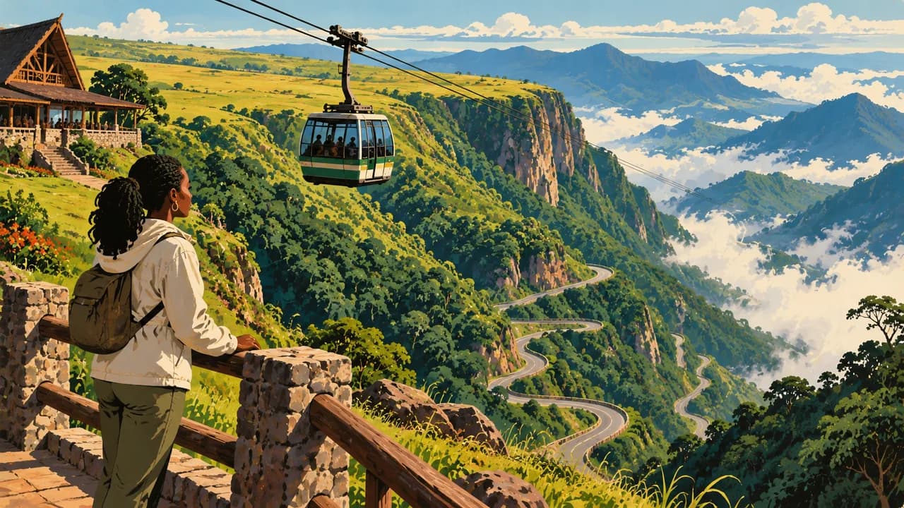
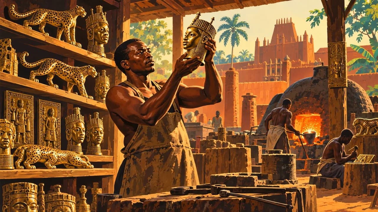
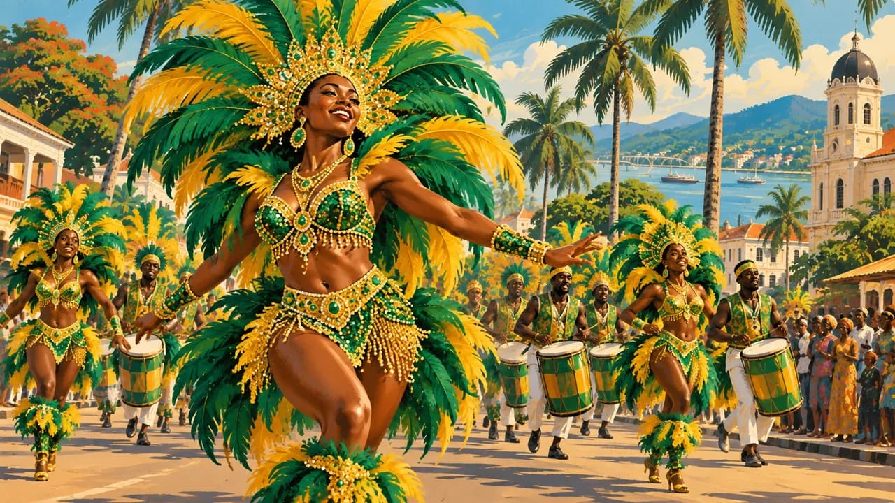
Benin City preserves Edo court traditions, the Oba's palace and brass-casting heritage. It belongs to Nigeria, not the neighbouring Republic of Benin. Calabar links river-port history and remembrance of enslavement with contemporary carnival culture. The Obudu highlands offer grassland and forest landscapes, without promising operating facilities or transport.
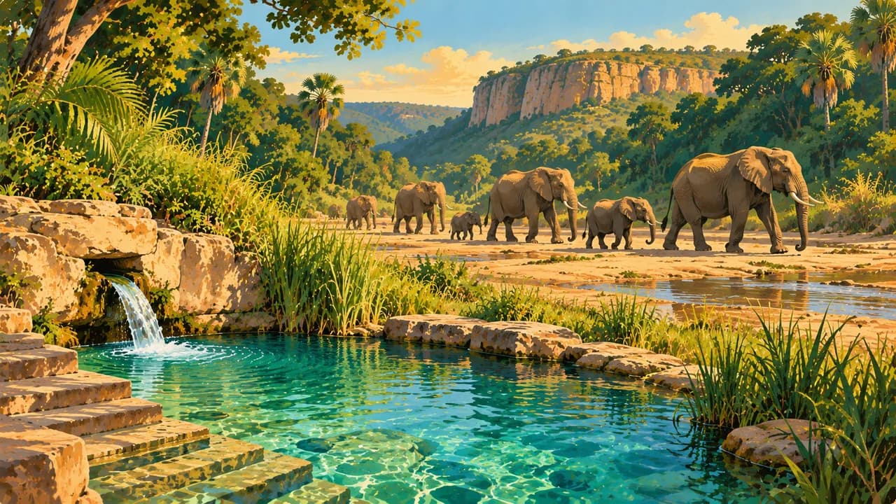
Jos introduces plateau scenery and museum collections, while Kano represents Hausa trading history, markets and dyeing traditions. Yankari Game Reserve protects savanna habitats and elephants, without guaranteeing sightings. Sukur's UNESCO cultural landscape combines a stone-built palace, terraced fields and traces of ironworking. Heritage status does not guarantee visitor access.
Regional kitchens include jollof rice, suya, amala, pounded yam and varied soups. Rainfall is generally heavier and longer-lasting in the south, while northern dry seasons bring Harmattan dust. Heavy rain can cause flooding and disrupt roads. Respect local religious customs and seek permission before photographing people or entering sacred places.
AI edited
- 36 + 1
- States and capital territory Nigeria comprises 36 states and the Federal Capital Territory, Abuja. The capital territory is distinct from a state. The climate-card groups are thematic rather than administrative units.
- ≈ 237.53 million
- Population Rounded UN projection for 2025 using the medium-fertility variant, 237.528 million. This dated estimate is not a new census.
- 923,768 km²
- Area Total surface area in the UN World Statistics Pocketbook 2025, with a 2023 reference year. Atlantic coastal landscapes give way to forests, savannas and northern drylands.
- English
- Language English is the official language and is widely used in administration and education. It does not replace Nigeria's many indigenous languages. The flag here identifies the language.
- Hausa, Yoruba, Igbo
- Other languages Examples among Nigeria's many languages, alongside Nigerian Pidgin and numerous other community languages. Language use varies by region and setting. This list is not exhaustive.
- Nigerian naira
- Currency The Central Bank of Nigeria issues the naira, NGN, with the sign ₦. One naira equals 100 kobo. Card acceptance and cash availability vary.
- D · G
- Socket types Electrical Safety First lists plug types D and G at 230 V and 50 Hz. Check local installation, earthing and appliance compatibility. An adaptor does not convert voltage or frequency.
- Abuja
- Capital Abuja is the federal capital in the Federal Capital Territory. Lagos is a major commercial and cultural centre. The clock displays Abuja's local time.
- Right-hand traffic
- Driving side Traffic drives on the right. The German Foreign Office generally advises against overland travel. Kidnapping, attacks and poor road conditions create serious risks. Avoid travel after dark and check the regional advisory.
- UTC+1
- Time zone West Africa Time throughout the year, with no seasonal clock change. Abuja uses the Africa/Lagos time zone. Nigeria is one hour ahead of UTC.
- 2
- UNESCO cultural sites Osun-Osogbo Sacred Grove and Sukur Cultural Landscape are Nigeria's two UNESCO cultural World Heritage properties. Tentative nominations, including the ancient Kano city walls, are not counted. Inscription does not guarantee safe access.
Nigeria on the map

Map data: geoBoundaries (CC BY 4.0), © OpenStreetMap contributors (ODbL), Natural Earth
Climate and best time to travel
Rainfall is heavier and lasts longer in the south, often from March to October or November. The north has a shorter rainy season, broadly June to September. December to February is often drier, but Harmattan dust can reduce visibility and later dry-season heat can be intense. Highlands can be cooler and misty. Heavy rain can cause flooding. The month cards describe broad climate windows, not safe routes, event dates or guaranteed access. The German Foreign Office warns against many regions, including Kano, Plateau, Bauchi, northern Adamawa and the Cameroon border. For Edo and Cross River, the strong advice against travel exempts only their capitals when reached by air. Coastal waters are strongly discouraged and overland travel is generally discouraged. Elsewhere, non-essential travel is discouraged except to Abuja, Lagos and greater Ibadan, where particular caution remains necessary. Check current regional and health guidance. Season, heritage status and protected areas guarantee neither safe access nor wildlife sightings. Resort and transport operation must be confirmed separately.
Destinations in Nigeria
 AI generated
 AI generated
 AI generated
 AI generated
 AI generated
 AI generated
 AI generated
 AI generated
 AI generated
 AI generated
 AI generated
 AI generated