Ghana
Coastal towns, rainforest and savanna meet living music, royal heritage and varied craft traditions.
Worth coming back!
Wanderlama keeps growing with new destinations, helpful information and exciting features. Check back soon and discover what is new!
Travel to Ghana
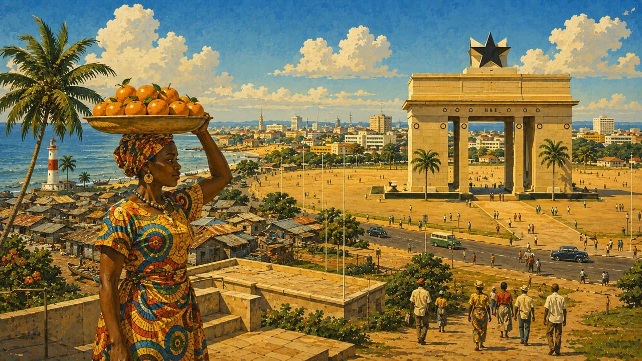
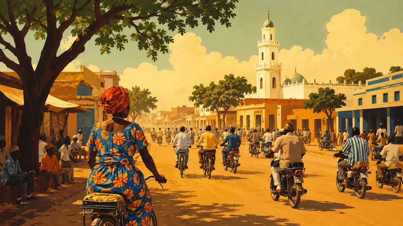
Ghana stretches from the Gulf of Guinea’s humid coast and forest belt to northern savannas. Accra, the capital, combines markets, contemporary art, highlife and newer music scenes. English is official, while Akan languages, Ewe, Ga, Dagbani and others shape everyday life. Regional identities and living traditions make the country much more than its coastal monuments.
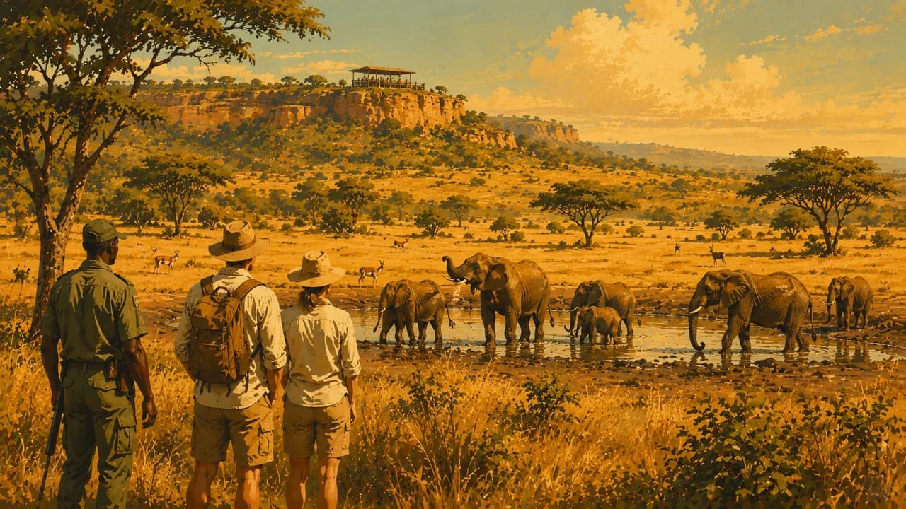
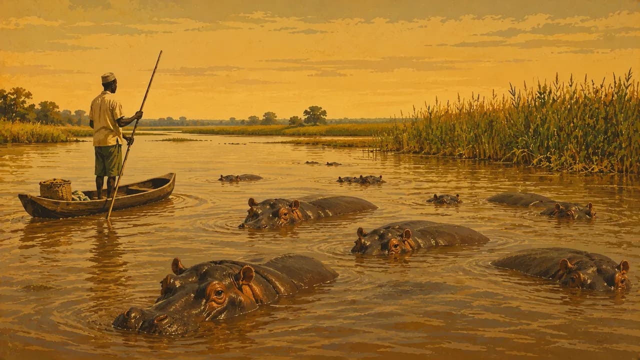
Tamale reflects Dagbon culture, Mole National Park protects savanna wildlife, and Wechiau’s community sanctuary conserves river habitats. Paga has sacred crocodile traditions. Germany’s Foreign Office warns against Burkina Faso and Togo border areas in Upper West, Upper East and North East, plus specified northeastern towns. This includes Paga and Wechiau’s border sanctuary. It also advises against northern Côte d’Ivoire border areas in Savannah and Bono. Check current restrictions before planning northern journeys.
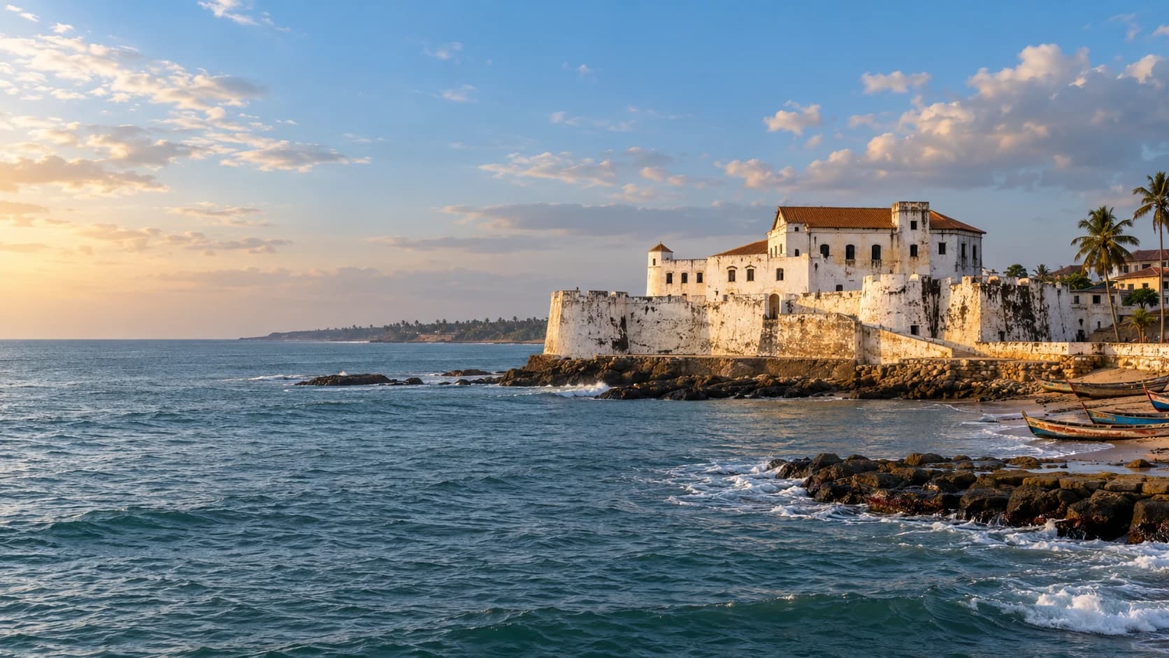
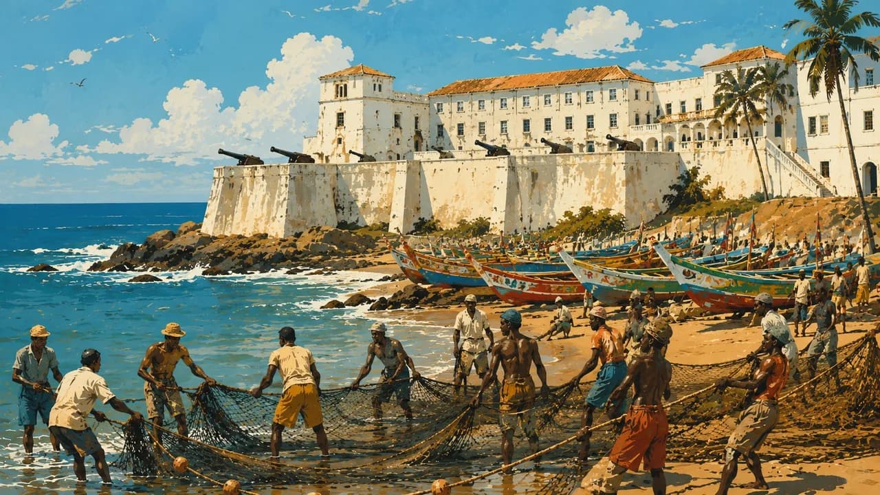
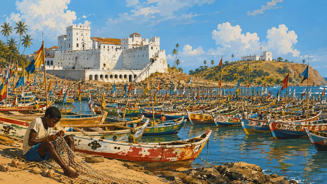
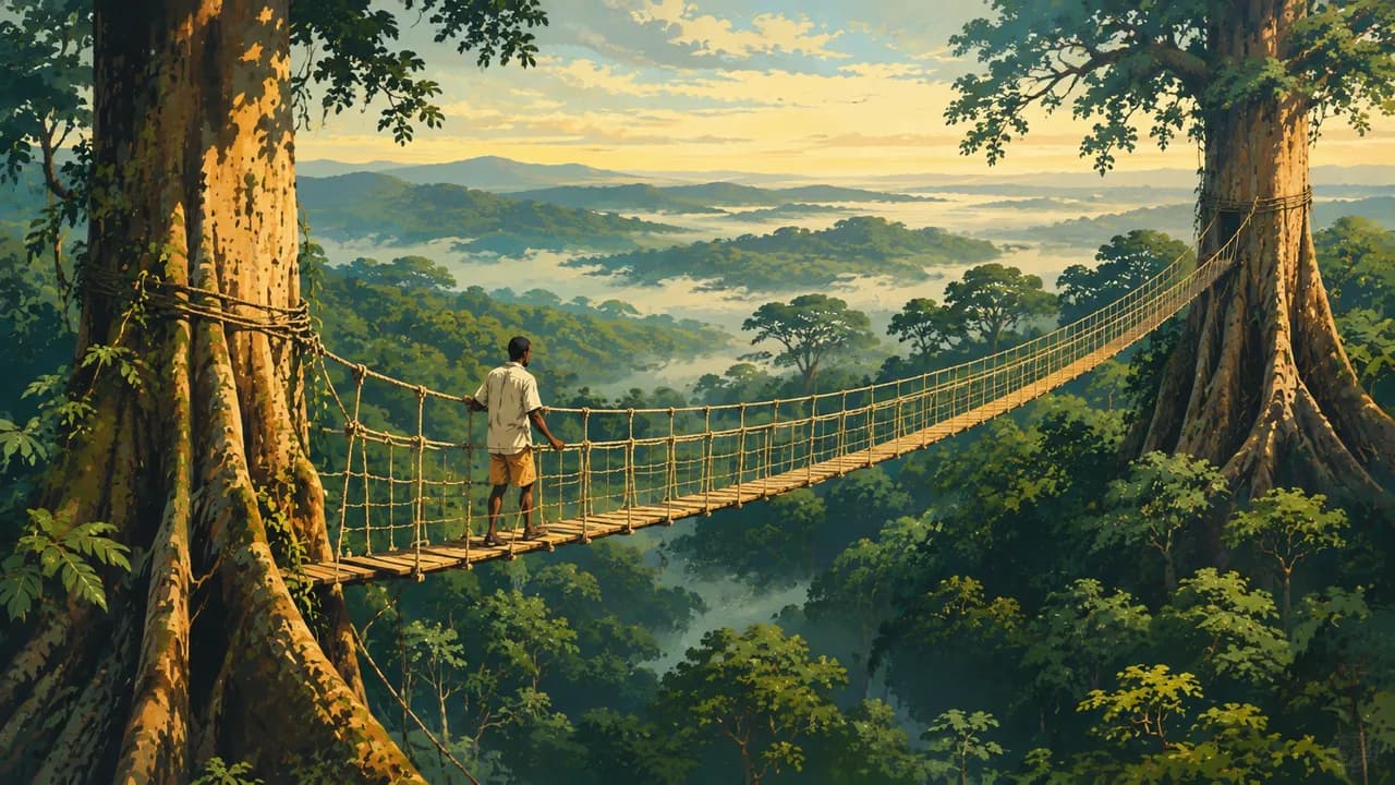
Cape Coast and Elmina combine working coastal towns with UNESCO-listed forts and castles. Their dungeons confront the violence of the Atlantic slave trade and its enduring connections with African diaspora communities. These are places of remembrance. Nearby, Kakum National Park preserves rainforest, with a canopy walkway offering a different perspective on the forest ecosystem.
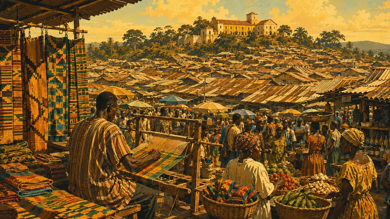
Kumasi remains a centre of Asante royal heritage, markets and craftsmanship. Traditional earthen shrine buildings around the city form a separate UNESCO World Heritage property. Kente weaving carries social meanings through patterns and colours across different communities. Sacred sites and ceremonies require respect, with permission for access and photography.
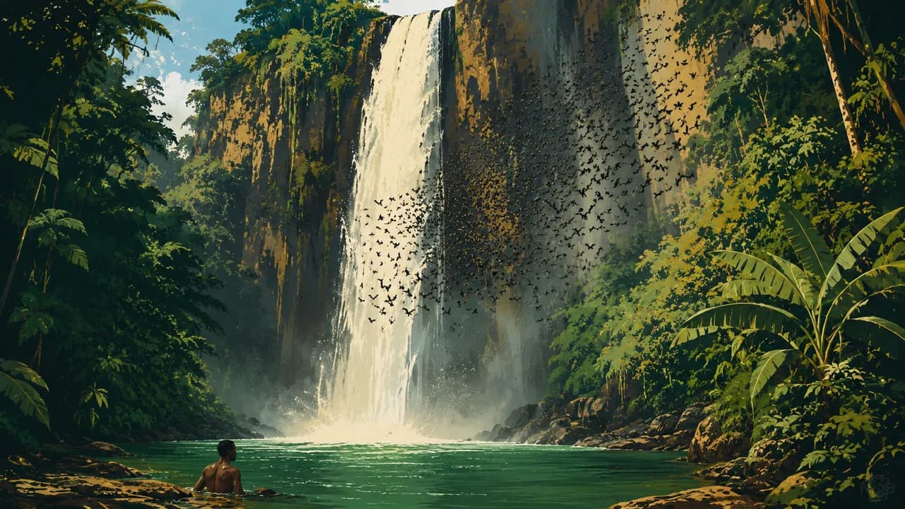
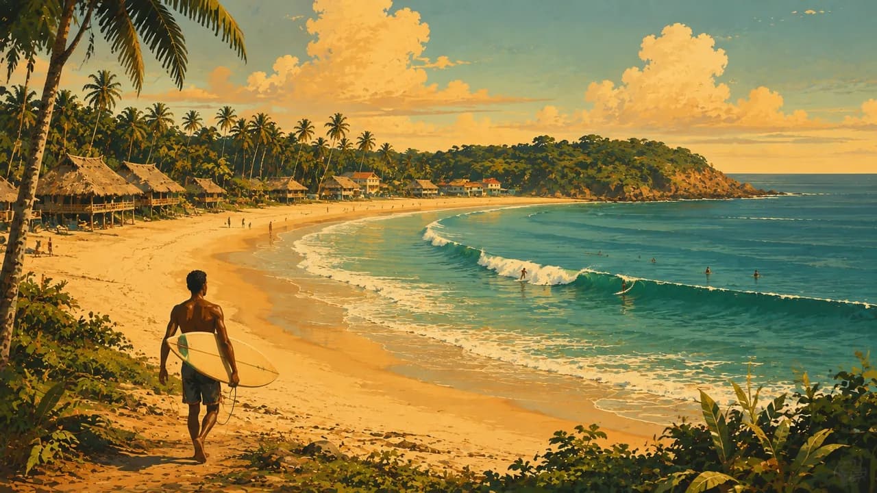
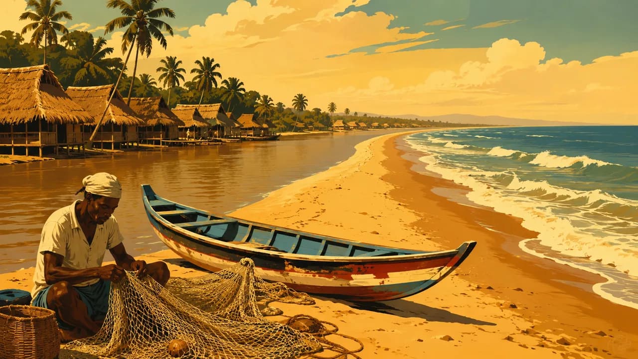
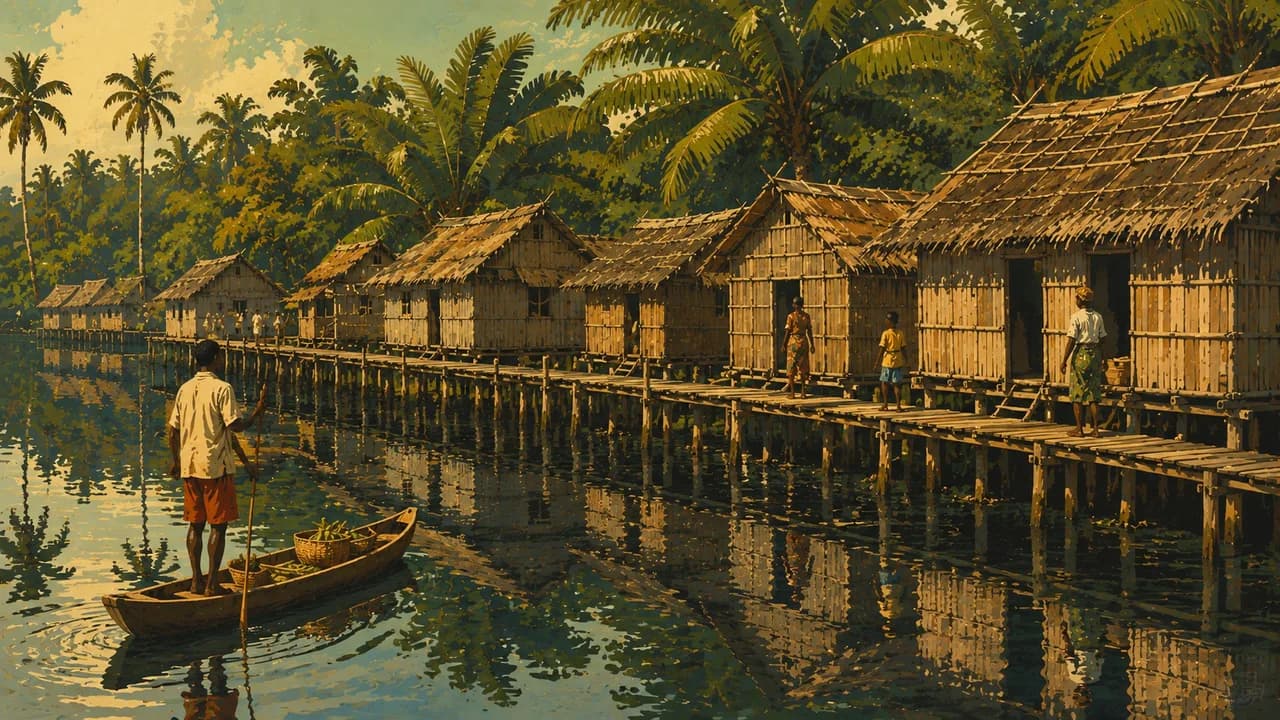
To the east, Ada Foah lies where the Volta reaches the sea. Akosombo connects the dam and Lake Volta landscape, while Wli Waterfalls illustrate the wooded eastern uplands. Busua adds fishing and surf culture on the western coast. Nzulezo is an inhabited lakeside stilt settlement, where residents’ privacy and community rules take priority.
Food includes waakye rice and beans, banku from fermented maize and cassava, and fufu with soups. Drier months vary regionally, while heavy rain can disrupt roads. Harmattan dust, inland heat and dangerous ocean currents deserve attention. Wildlife sightings and visitor access are never guaranteed.
AI edited
- 16
- Regions Ghana has sixteen administrative regions following the 2019 reorganisation. These differ from the geographical and thematic groupings in the climate cards.
- ≈ 35.1 million
- Population Rounded UN projection for 2025 using the medium-fertility variant, 35.064 million. This dated estimate is not a new census.
- 238,537 km²
- Area Surface area in the UN World Statistics Pocketbook 2025, with a 2023 reference year. Water areas are included.
- English
- Language English is the official language. This does not describe the full linguistic diversity of everyday life.
- Akan languages, Ewe, Ga and Dagbani
- Other languages Examples of regionally spoken languages and language groups. Akan includes Twi and Fante, among others. This is not an exhaustive list.
- Ghanaian cedi (GHS)
- Currency The Bank of Ghana issues the cedi. Its ISO code is GHS and its sign is ₵, also written GH₵. Payment availability varies by location.
- D · G
- Socket types Plug types D and G. Nominal supply is 230 V at 50 Hz. Check adapters, grounding, appliance compatibility and local installation conditions.
- Accra
- Capital Accra is the capital and an important economic and cultural centre on the coast. The clock shows Accra local time.
- Right-hand traffic
- Driving side Traffic drives on the right. Road damage, limited lighting and robbery risks affect overland journeys. Avoid driving after dark.
- UTC±0
- Time zone Greenwich Mean Time throughout the year, without seasonal clock changes. The clock uses Africa/Accra.
- 2
- UNESCO cultural sites The UNESCO World Heritage properties are the historic coastal forts and castles and the Asante Traditional Buildings. The many individual forts form one property. Kente and highlife are intangible heritage and are not counted here.
Ghana on the map

Map data: geoBoundaries (CC BY 4.0), © OpenStreetMap contributors (ODbL), Natural Earth
Climate and best time to travel
Germany’s Foreign Office warns against Burkina Faso and Togo border areas in Upper West, Upper East and North East, plus specified northeastern towns. This includes Paga and Wechiau’s border sanctuary. It advises against northern Côte d’Ivoire border areas in Savannah and Bono. The relevant cards describe heritage and ecosystems without promising access or safe travel. Current official advice takes precedence. The south usually has a major rainy season from March to July and a smaller one from September to November. August often brings a break in rainfall. December to February is drier in many places, although showers remain possible in the humid west. Northern rain is usually concentrated from April to October. Late dry-season inland heat can be intense, and Harmattan winds bring dust. Rain may disrupt roads and trails. Ocean currents are dangerous. Month windows are broad climate guidance, with no weather or wildlife-sighting guarantee.
Destinations in Ghana
 AI generated
 AI generated
 AI generated
 AI generated
 AI generated
 AI generated
 AI generated
 AI generated
 AI generated
 AI generated
 AI generated
 AI generated