Cape Verde
Cabo Verde
Broad sandy coasts, cultivated mountain valleys and dark volcanic landscapes meet Creole music and living island traditions.
Worth coming back!
Wanderlama keeps growing with new destinations, helpful information and exciting features. Check back soon and discover what is new!
Travel to Cape Verde
Cape Verde comprises ten volcanic Atlantic islands, nine inhabited, west of Senegal. Dry coastal plains contrast with steep mountains, cultivated valleys and lava landscapes. Portuguese is official, while Cape Verdean Creole is central to everyday life. African, European and wider Atlantic connections have shaped distinct island identities and a far-reaching diaspora.
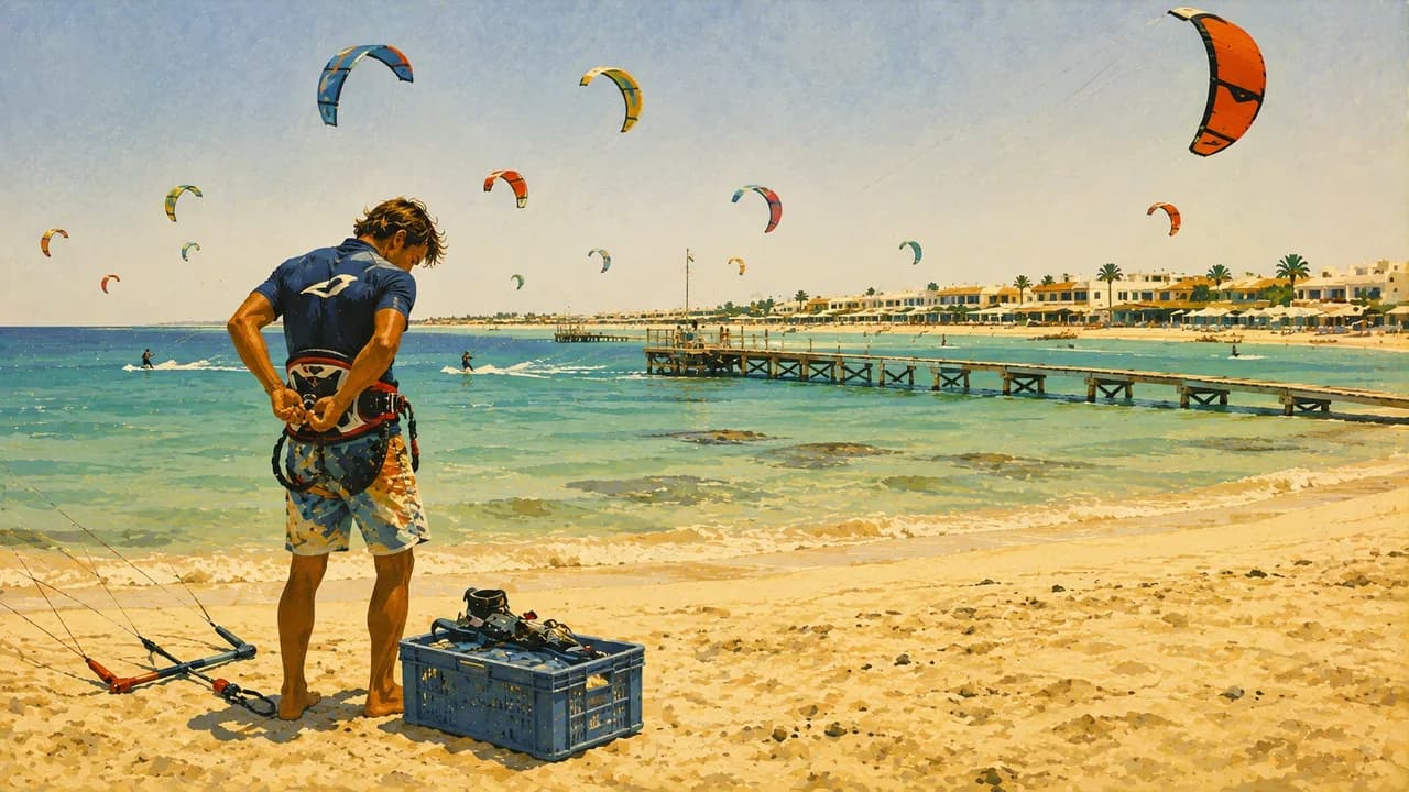
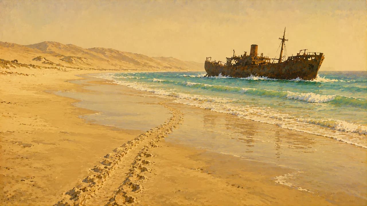
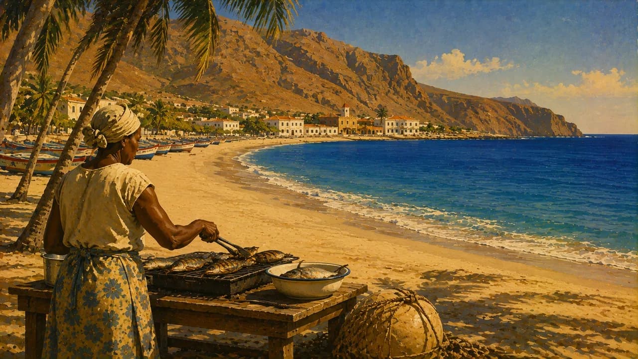
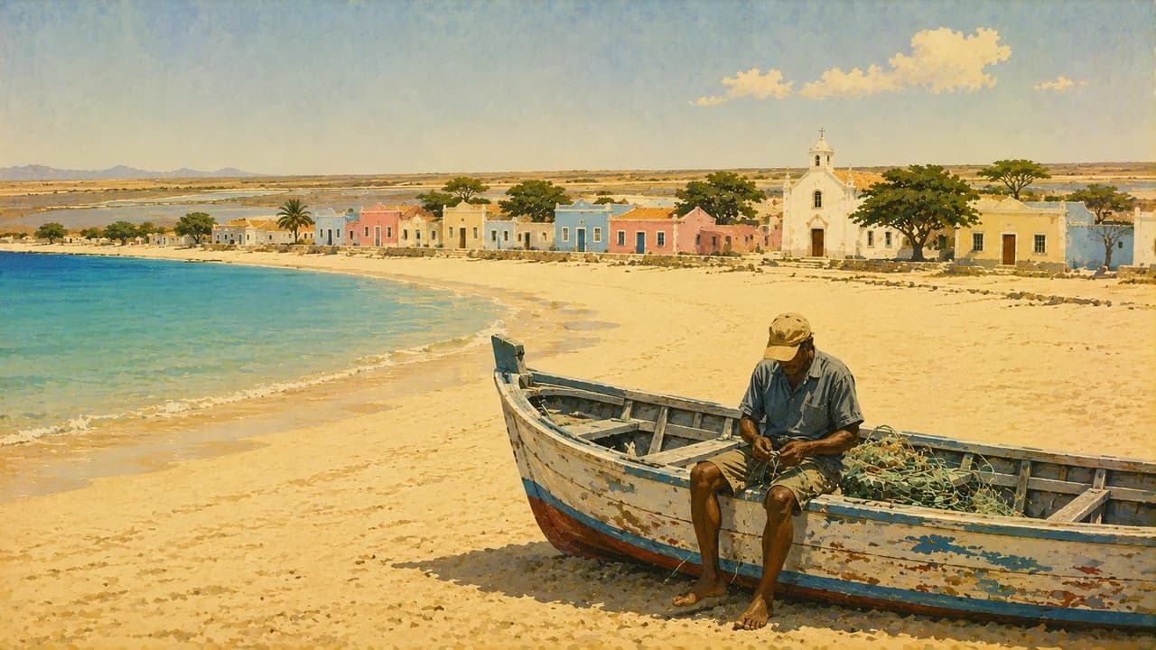
On Sal, Santa Maria combines sandy beaches, fishing activity and tourism. Sal Rei on Boa Vista lies beside dunes and broad shores, while Vila do Maio introduces a quieter island of beaches and former salt-working landscapes. Wind supports water sports, but surf and currents require local judgement. Turtle nesting beaches need seasonal protection and responsible observation.
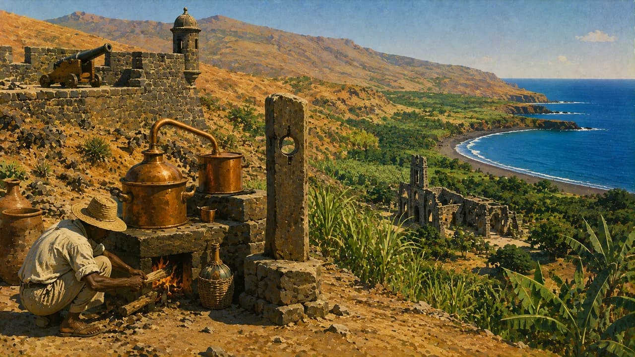
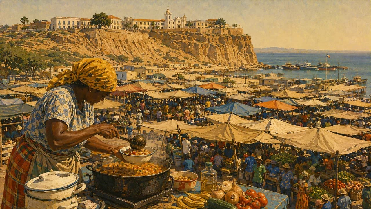
Santiago holds the capital Praia, with its Plateau district, markets and contemporary cultural life. Nearby Cidade Velha is UNESCO World Heritage, preserving traces of early Portuguese colonisation and the Atlantic slave trade. Tarrafal combines a coastal bay with the former prison camp, now a place of remembrance. Inland farming landscapes add another dimension to the island.
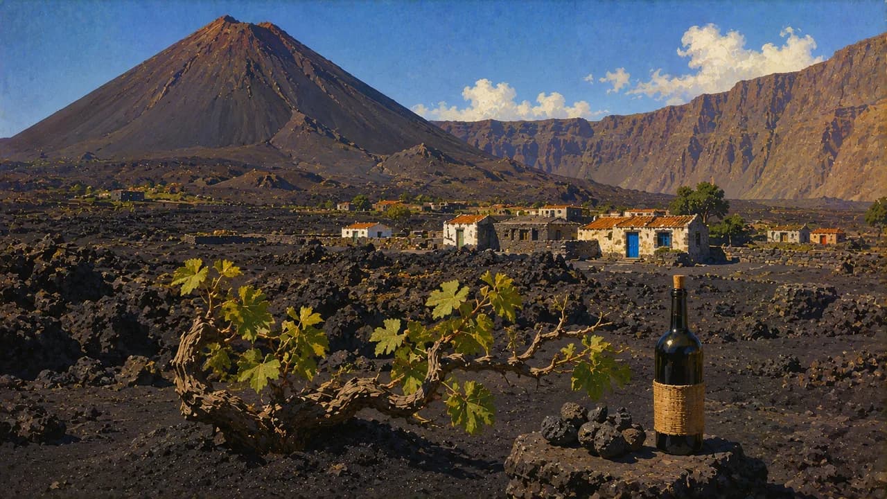
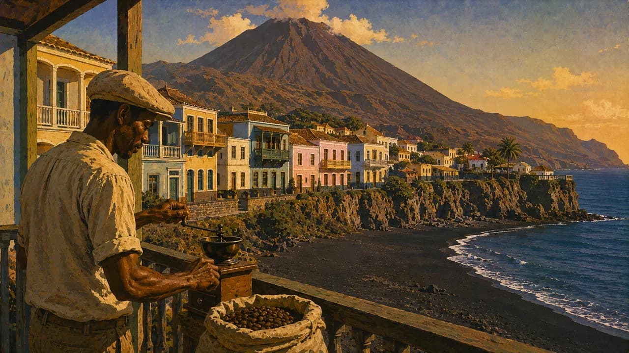
On Fogo, São Filipe preserves historic townhouses above dark volcanic shores. Chã das Caldeiras is an inhabited caldera landscape beneath the active Pico do Fogo, where communities cultivate vines and rebuild livelihoods shaped by eruptions. Mountain walks require suitable conditions, local guidance and respect for restrictions.
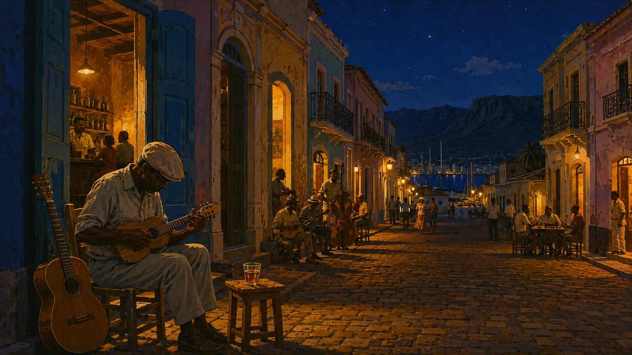
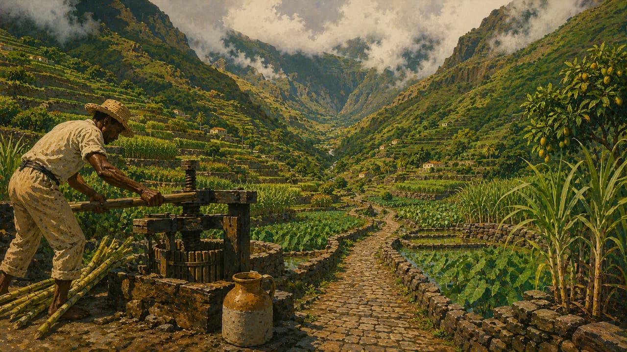
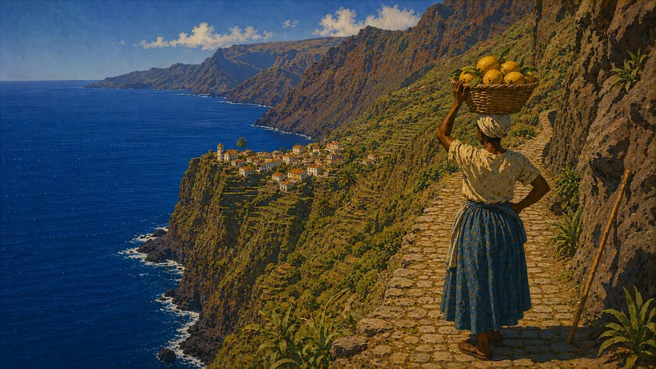
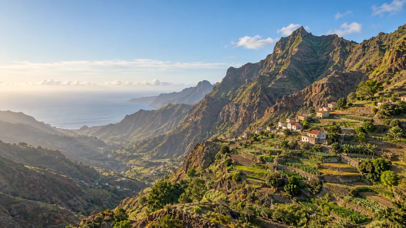
Mindelo on São Vicente is closely associated with live music, carnival and maritime life. Morna is UNESCO intangible heritage, expressing love, separation and longing through music and poetry. Santo Antão offers the cultivated Vale do Paúl and coastal paths near Ponta do Sol. São Nicolau adds mountain trails, Brava small settlements and gardens. Uninhabited Santa Luzia is a protected natural landscape.
Cachupa, a maize-and-bean stew, fish, seafood and goat cheese reflect regional cooking. The climate is generally drier from November to July, with hotter, wetter conditions often from August to October. Mountain weather differs from beach conditions. Drought can strain water supplies, and flights and ferries can change. Allow flexibility and check current weather and official advice.
AI edited
- 22
- Municipalities Cape Verde has 22 municipalities, known as concelhos, across nine inhabited islands. The archipelago has ten main islands in total. Islands and thematic climate cards are not administrative regions.
- ≈ 527,000
- Population Rounded UN projection for 2025 using the medium-fertility variant. This dated estimate is not a new census.
- 4,033 km²
- Area Surface area in the UN World Statistics Pocketbook 2025 with a 2023 reference year. This does not describe the archipelago’s much larger maritime area.
- Portuguese
- Language Portuguese is the official language. Cape Verdean Creole shapes everyday communication and cultural life.
- Cape Verdean Creole
- Other languages Also called Kriolu. This Portuguese-based creole has distinct island varieties. Usage and spelling vary.
- Cape Verdean escudo (CVE)
- Currency The national currency is the Cape Verdean escudo, ISO code CVE, pegged to the euro. The escudo sign $ does not mean US dollars here. Payment availability varies by place.
- C · F
- Socket types Plug types C and F, with 230 V at 50 Hz according to Electrical Safety First. Check adapters, grounding, appliance compatibility and local installations.
- Praia
- Capital Praia is on Santiago and is the capital and an important administrative and economic centre. The clock shows Praia local time.
- Right-hand traffic
- Driving side Traffic drives on the right. Mountain roads, unlit stretches and varied road surfaces require an appropriate driving style. Check local conditions before journeys.
- UTC−1
- Time zone Cape Verde Time throughout the year without seasonal clock changes. The clock uses Atlantic/Cape_Verde.
- 1
- UNESCO cultural site Cidade Velha, Historic Centre of Ribeira Grande, is UNESCO cultural World Heritage. Morna is intangible heritage and is not counted here. Tentative-list sites are not additional inscriptions.
Cape Verde on the map

Map data: geoBoundaries (CC BY 4.0), © OpenStreetMap contributors (ODbL), Natural Earth
Climate and best time to travel
Flatter beach islands and steep mountain islands have different conditions. November to July is generally drier. August to October is often hotter and wetter, with short heavy downpours and tropical storms potentially disrupting paths and connections. Trade winds are particularly relevant to windsurfing and kitesurfing, but also bring rough seas. Saharan dust can reduce visibility from December to February. Mountain trails and the active volcano require current weather checks, local guidance and respect for closures. Higher elevations can be much cooler than the coast. Sea turtles nest mainly in summer and autumn, with separate conservation and observation rules independent of the cards’ drier travel windows. Drought can constrain water supplies. Surf and currents are dangerous in some places. Flights and ferries can change, so allow flexibility. Month windows are broad climate guidance and guarantee neither weather, access nor wildlife sightings.