Guinea-Bissau
Guiné-Bissau
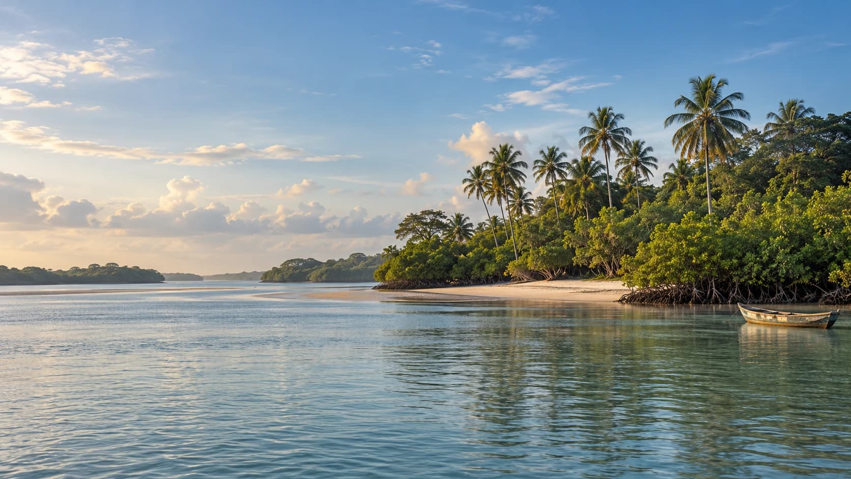
Mangrove channels, palm-lined islands and green rice landscapes meet lively markets, weaving traditions and diverse communities.
Worth coming back!
Wanderlama keeps growing with new destinations, helpful information and exciting features. Check back soon and discover what is new!
Travel to Guinea-Bissau
Guinea-Bissau combines Atlantic islands and mangrove estuaries with rice fields, woodland and inland savannas. Portuguese is official, while Kriol connects communities speaking many other languages. Fishing, farming and cashew cultivation shape daily life. Its varied mainland deserves attention alongside the better-known Bijagós Archipelago.
Political conditions remain fragile following military intervention. Restrictions and curfews can change quickly. Check current official advice, avoid demonstrations and military sites, and observe photography restrictions. Remote northern border areas may retain landmines. Rain can make roads impassable, while island journeys depend on tides, weather and safe vessels. Access should never be assumed.
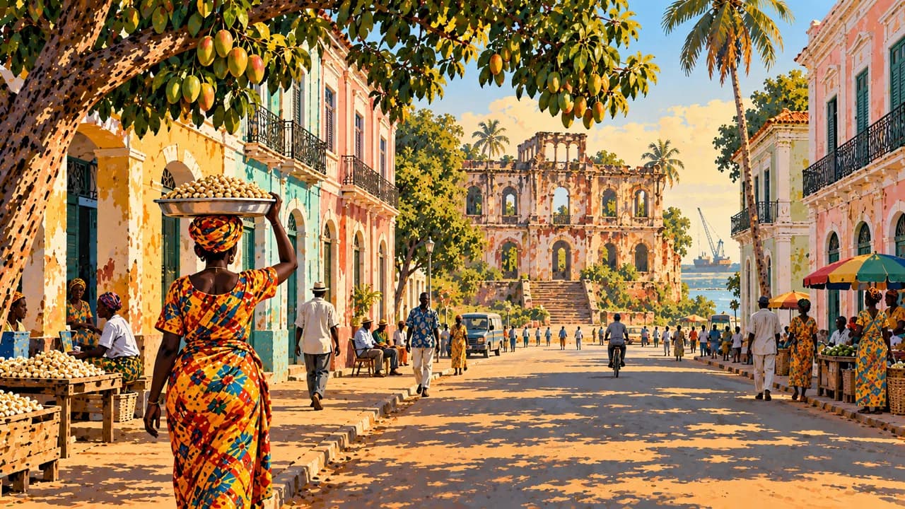
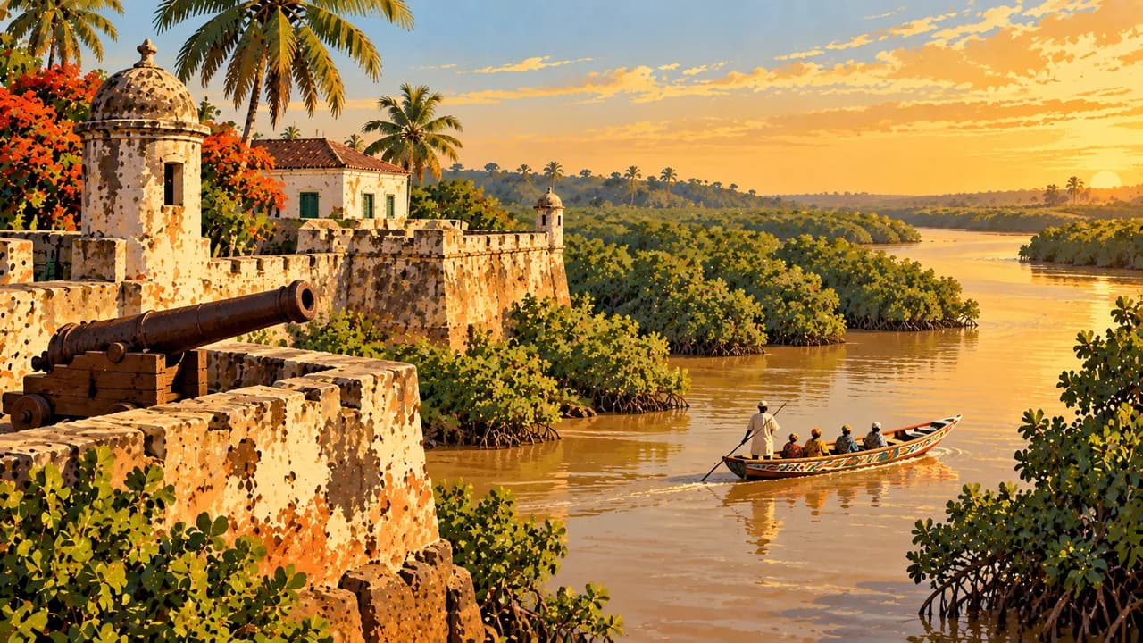
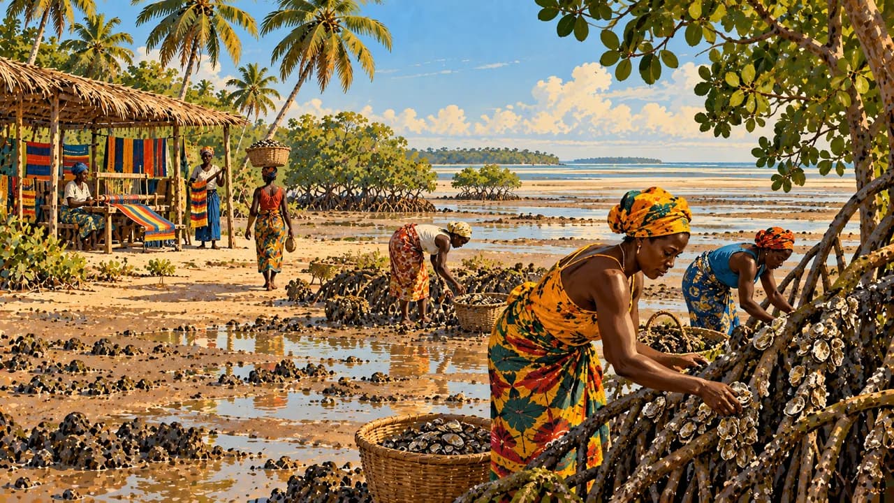
Bissau combines the older Portuguese-built quarter with Bandim’s busy market and memories of the independence struggle. Nearby Quinhámel is associated with weaving and mangrove livelihoods. Cacheu’s fort and memorial recall enslavement and Atlantic trade, while surrounding wetlands shelter birds. Varela adds sandy mainland shores. Inland Bafatá, Amílcar Cabral’s birthplace, has markets and a riverside historic quarter.
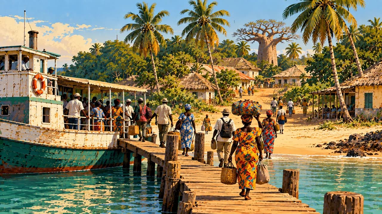
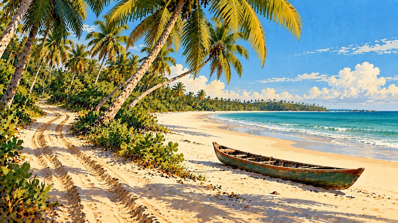
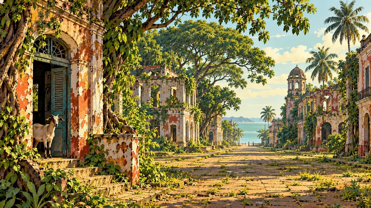
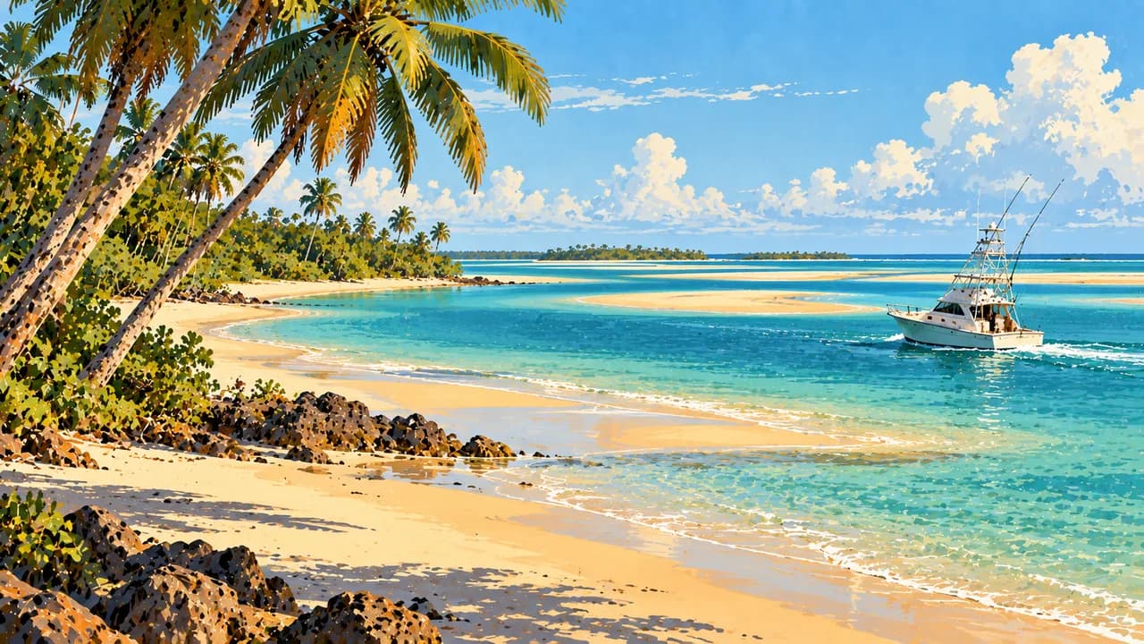
Within the Bijagós, Bubaque is an inhabited island hub, Rubane has palm-lined shores, and Caravela combines beaches with village landscapes. Bolama, the former colonial capital, retains imposing but weathered buildings. Bijagó communities maintain distinct ceremonial traditions and customary resource management. Women contribute substantially to farming, trade and the transmission of knowledge. Social and religious customs vary between islands.
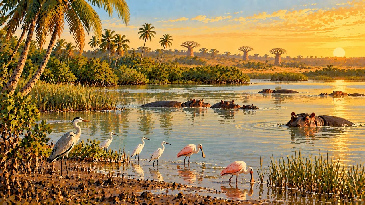
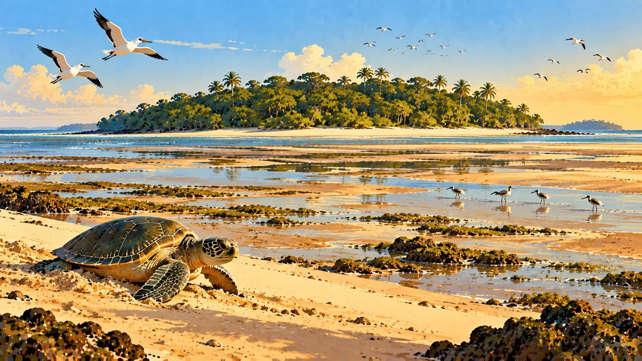
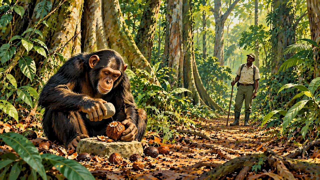
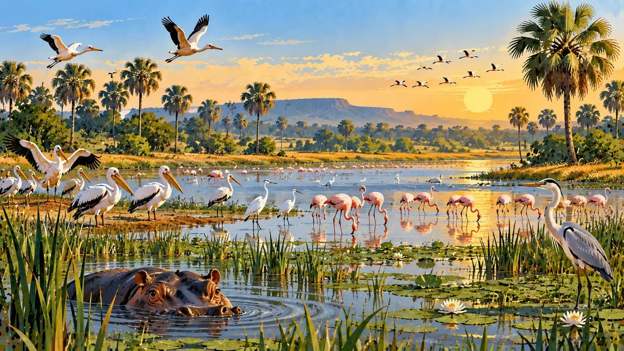
Orango protects mangroves and coastal habitats used by common hippos, which also enter salt water. João Vieira and Poilão protect important green-turtle nesting beaches. Selected coastal and marine ecosystems became natural World Heritage in 2025, distinct from the broader biosphere reserve. On the mainland, Jemberem lies by Cantanhez’s forest mosaic and chimpanzee habitat. Buba is associated with the Cufada lagoons and waterbirds. Protected status guarantees neither unrestricted entry nor wildlife sightings.
Rice with fish, groundnut or palm-fruit sauces, oysters and tropical fruit reflect regional kitchens. Music, dance and woven cloth express living identities. Respect community consent, sacred places and conservation rules. Local arrangements matter as much as seasonal conditions.
AI edited
- 8 + 1
- Regions and capital sector Eight administrative regions and the autonomous sector of Bissau. The regions are Bafatá, Biombo, Bolama, Cacheu, Gabú, Oio, Quinara and Tombali. These administrative units differ from the thematic climate-card groupings.
- ≈ 2.25 million
- Population UN projection for 2025 using the medium-fertility variant, rounded to 2.25 million. This is a dated estimate, not a new census.
- 36,125 km²
- Area Surface area in the UN World Statistics Pocketbook 2025 with a 2023 reference year. Water areas are included, while land area alone is smaller.
- Portuguese
- Language Portuguese is the official language. Kriol and many other languages shape everyday communication.
- Kriol, Balanta, Fula and Mandinka
- Other languages Kriol is a Portuguese-based creole and widely used lingua franca. Balanta, Fula and Mandinka are further examples. Papel, Manjaku and Bijagó languages are also spoken. This is not an exhaustive list.
- West African CFA franc (XOF)
- Currency The BCEAO issues the West African CFA franc with ISO code XOF. It is distinct from the Central African CFA franc XAF and the Guinean franc GNF. Cash availability and card acceptance are limited locally.
- C
- Socket type Type C plugs have two round contacts, with 220 V at 50 Hz according to Electrical Safety First. Check appliance compatibility, adapters and local installations. Power outages occur.
- Bissau
- Capital Bissau is the capital and an autonomous administrative sector. The clock shows Bissau local time.
- Right-hand traffic
- Driving side Traffic drives on the right. Road damage, checkpoints, limited lighting and seasonal flooding can disrupt journeys. Avoid driving after dark.
- UTC±0
- Time zone Greenwich Mean Time throughout the year without seasonal clock changes. The clock uses Africa/Bissau.
Guinea-Bissau on the map

Map data: geoBoundaries (CC BY 4.0), © OpenStreetMap contributors (ODbL), Natural Earth
Climate and best time to travel
Political conditions remain fragile. Curfews, checkpoints and other restrictions can change quickly. Current official advice and local access rules take precedence. Remote northern border areas near Casamance may retain landmines. Stay on known roads and paths there. The rainy season runs roughly from late May to early November. Heavy rain can make roads and bridges impassable, further disrupt boat journeys and temporarily cut off accommodation. December to March is a conservative drier-weather window. Inland heat and fire risk rise towards the end of the dry season. Island connections also depend on tides, wind, sea conditions and suitable vessels. Breeding seasons, protected-area rules and community decisions may limit visits. The cards describe landscapes and cultural context. They guarantee neither access nor safe journeys, turtle observations or other wildlife sightings.
Destinations in Guinea-Bissau
 AI generated
 AI generated
 AI generated
 AI generated
 AI generated
 AI generated
 AI generated
 AI generated
 AI generated
 AI generated
 AI generated
 AI generated