Togo
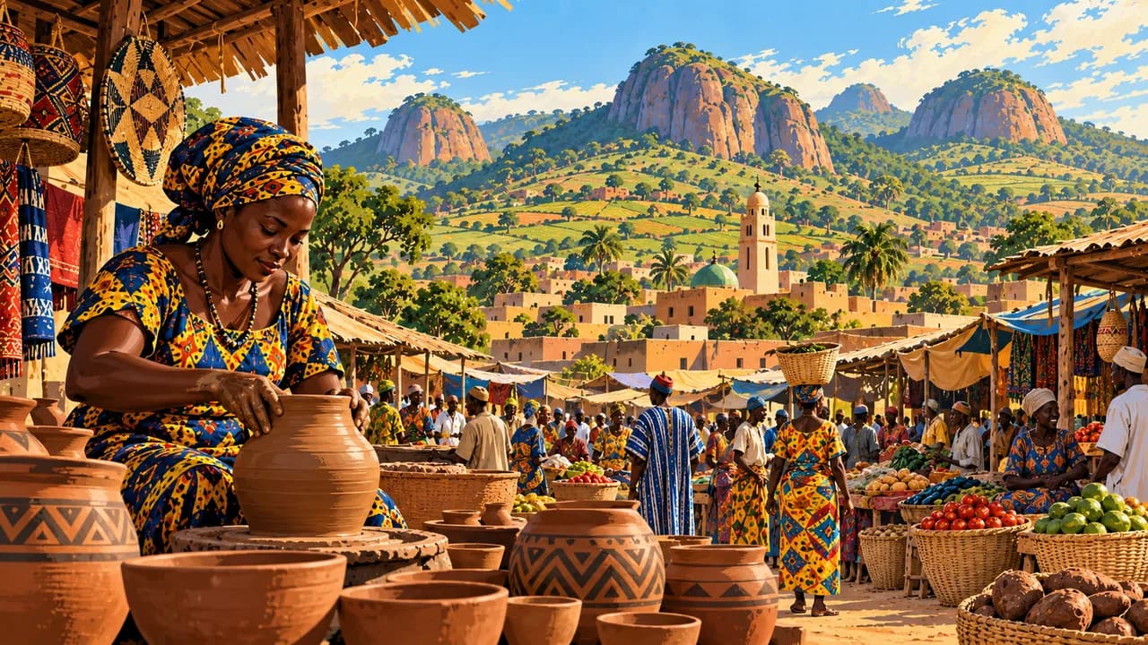
Atlantic lagoons, green coffee hills and earthen architecture meet living craft traditions and religious heritage.
Worth coming back!
Wanderlama keeps growing with new destinations, helpful information and exciting features. Check back soon and discover what is new!
Travel to Togo
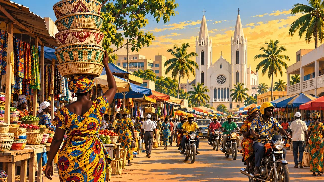
Togo stretches from a short Atlantic coast between Ghana and Benin through wooded hills to northern savannas, bordering Burkina Faso. Lomé combines the Grand Marché, cloth trading, contemporary art at the Palais de Lomé and colonial architecture. The Akodessewa market reflects living religious traditions rather than a promise of effective medical treatments.
Travel needs current regional advice. Germany’s Foreign Office warns against Kpendjal and Kpendjal Ouest, strongly advises against the rest of Savanes including Dapaong, and advises against Dankpen and Keran. Terrorism and kidnapping affect northern planning. Protests and crime also require caution elsewhere. Strong surf and currents make unprotected ocean swimming dangerous.
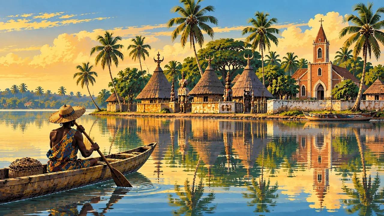
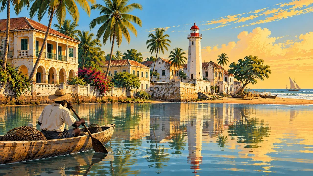
Aného preserves Guin-Mina heritage between lagoon and sea. Lake Togo and Togoville combine fishing, canoe transport, Catholic landmarks and Vodun shrines. Nearby Agbodrafo’s Maison Wood recalls the transatlantic slave trade. Religious ceremonies and inhabited communities deserve respect, with permission requested before photographs or entering sacred places.
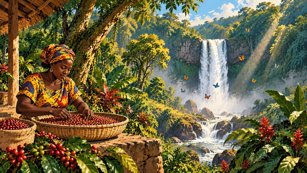
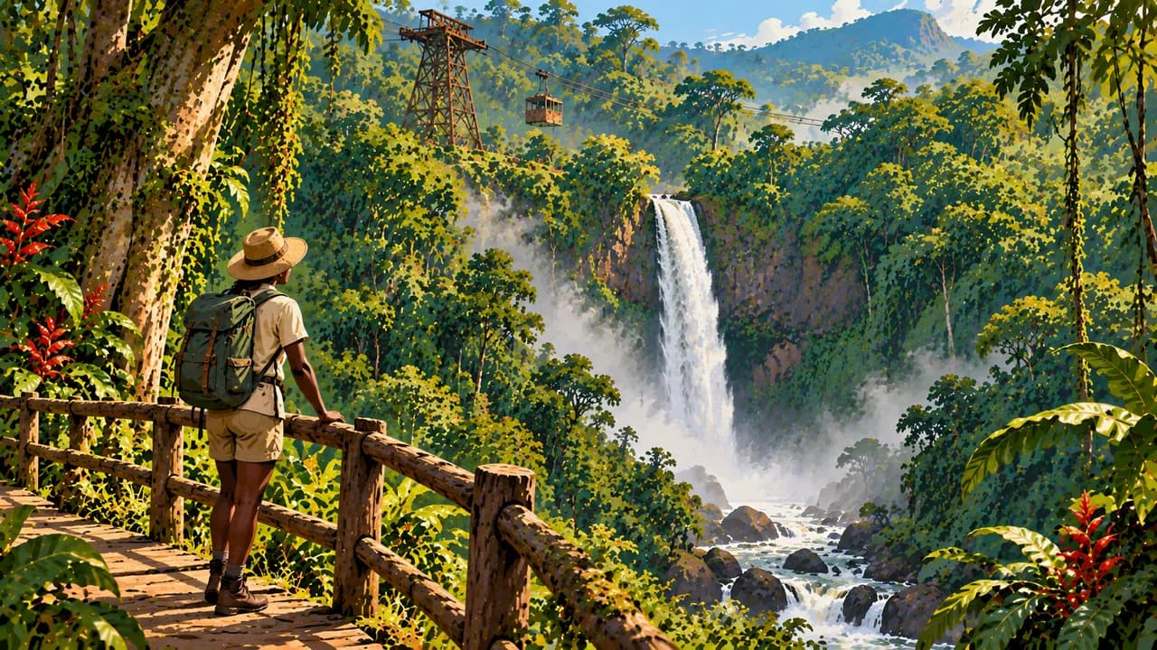
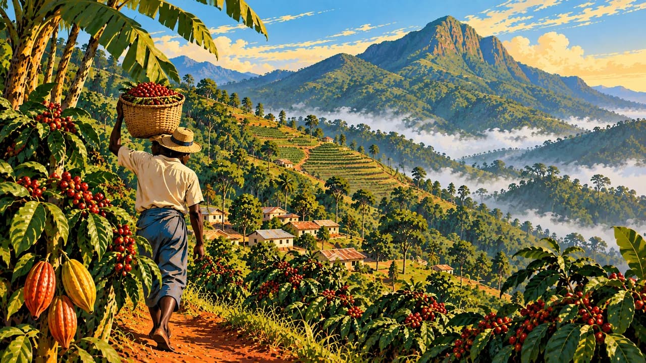
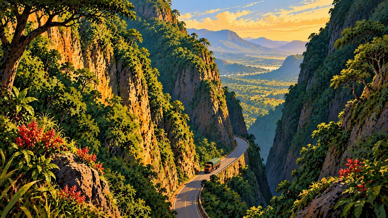
Kpalimé brings together craft workshops, coffee and cocoa landscapes, forest trails and waterfalls. Mount Agou is the country’s highest peak, while Badou offers access to the Akloa waterfall landscape. Heavy rain can make paths slippery and crossings unsafe. Around Aledjo, wooded slopes and the road’s rock cutting add another landscape. Keep wildlife at a distance and do not feed monkeys.
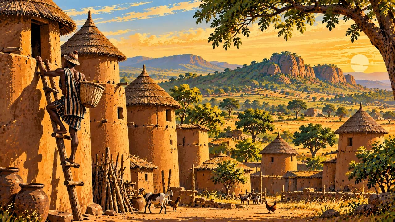
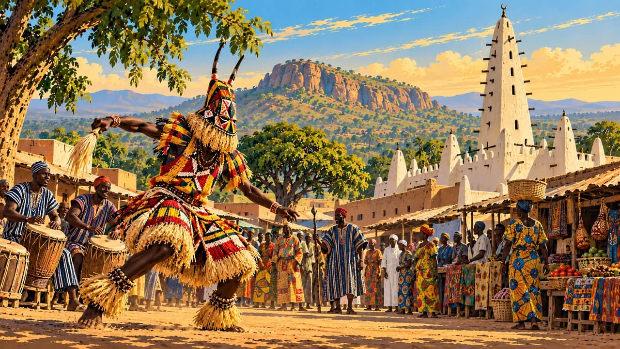
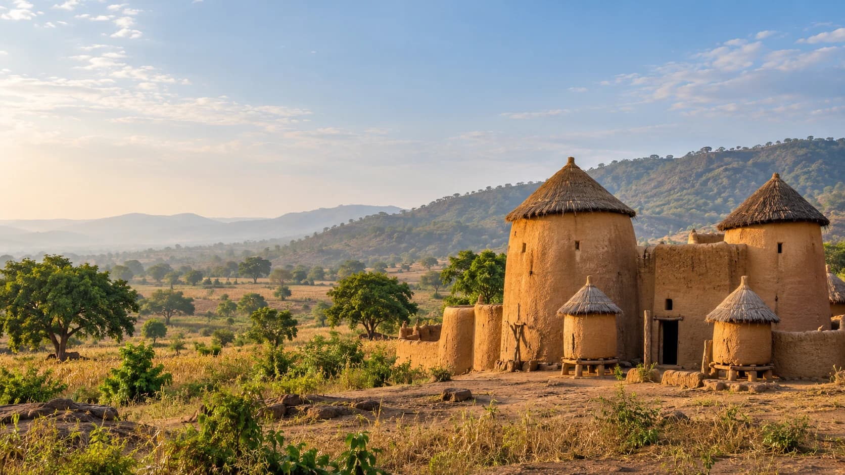
Sokodé combines Tem cultural traditions, mosques, weaving and markets. Fazao-Malfakassa protects forest and savanna habitats, with access and guides requiring confirmation rather than guaranteed animal sightings. Kara introduces Kabiyè farming landscapes. Koutammakou’s UNESCO-listed cultural landscape extends into Benin, linking inhabited Batammariba earthen tower houses with fields, sacred places and community life. Heritage status does not guarantee safe access.
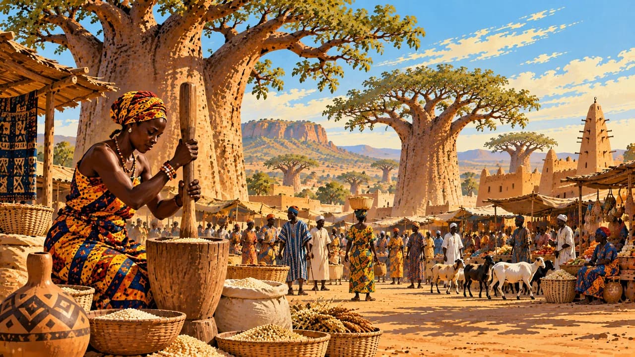
Regional kitchens include pounded yam, maize preparations, leafy or groundnut sauces and fish. Southern rainfall has two main peaks, while the north has one main wet season. Drier months often ease travel, but Harmattan dust can reduce visibility. Flooding and damaged roads require flexible plans and daylight journeys.
AI edited
- 5
- Regions Maritime, Plateaux, Centrale, Kara and Savanes are the five regions. Greater Lomé has a distinct administrative organisation. The climate cards group destinations by theme rather than define administrative divisions.
- ≈ 8.59 million
- Population Rounded UN projection for 2025, 8.592 million, using the medium-fertility variant. UNData incorporates the January 2026 interim update based on more detailed 2022 census results. This is a dated projection, not a new census.
- 56,785 km²
- Area Surface area in UNData, referenced to 2023. Togo extends from Atlantic coastal plains and lagoons through wooded hills to northern savannas.
- French
- Language French is the official language and is used in administration and education. It does not replace the many community languages. The flag denotes the language here.
- Ewe, Kabiyè, Tem
- Other languages Examples of community languages include Ewe, Kabiyè and Tem, alongside Mina, Moba and others. Usage varies by region and community.
- CFA franc
- Currency The West African CFA franc has the code XOF and is issued by BCEAO. FCFA is a common written abbreviation. Distinguish it from the Central African CFA franc, XAF. Cash supply and card acceptance vary.
- C
- Socket type Electrical Safety First lists type C with 220 V and 50 Hz. Check the local installation and device suitability. A travel adaptor does not convert voltage or frequency.
- Lomé
- Capital Lomé is the coastal capital near the Ghanaian border, with a major port, markets and cultural institutions. The clock shows the capital’s local time.
- Right-hand traffic
- Driving side Traffic drives on the right. Avoid night journeys. Heavy rain and damaged roads can disrupt travel. Check current regional security advice and local road conditions.
- UTC+0
- Time zone Greenwich Mean Time applies throughout the year without seasonal clock changes. The live clock uses Africa/Lome.
- 1
- UNESCO cultural site Koutammakou, the Land of the Batammariba, is one cultural World Heritage property, inscribed in 2004 and extended into Benin in 2023. Aného-Glidji and Fazao-Malfakassa are on the tentative list and not counted.
Togo on the map

Map data: geoBoundaries (CC BY 4.0), © OpenStreetMap contributors (ODbL), Natural Earth
Climate and best time to travel
December to March is usually drier in the south. Main rainy periods fall roughly from April to July and September to October. The north has a longer dry season around November to March and one main wet season. Uplands receive more rain, and Harmattan dust can reduce visibility. Months describe broad climate windows and guarantee neither safe access nor calm seas or wildlife sightings. Germany’s Foreign Office warns against Kpendjal and Kpendjal Ouest, strongly advises against the rest of Savanes, and advises against Dankpen and Keran. For Koutammakou too, check the precise route and current regional advice. Heavy rain can disrupt paths and roads. Confirm guides and protected-area visits locally. Strong surf and currents make ocean swimming dangerous. Avoid night driving and respect religious rules.