Ivory Coast
Côte d'Ivoire
Lagoons, rainforest and savanna meet living music, craft traditions and regional flavours.
Worth coming back!
Wanderlama keeps growing with new destinations, helpful information and exciting features. Check back soon and discover what is new!
Travel to Ivory Coast
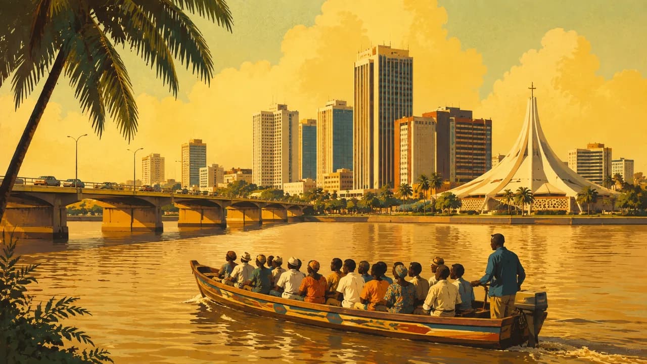
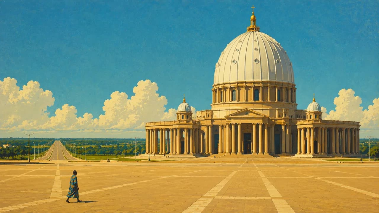
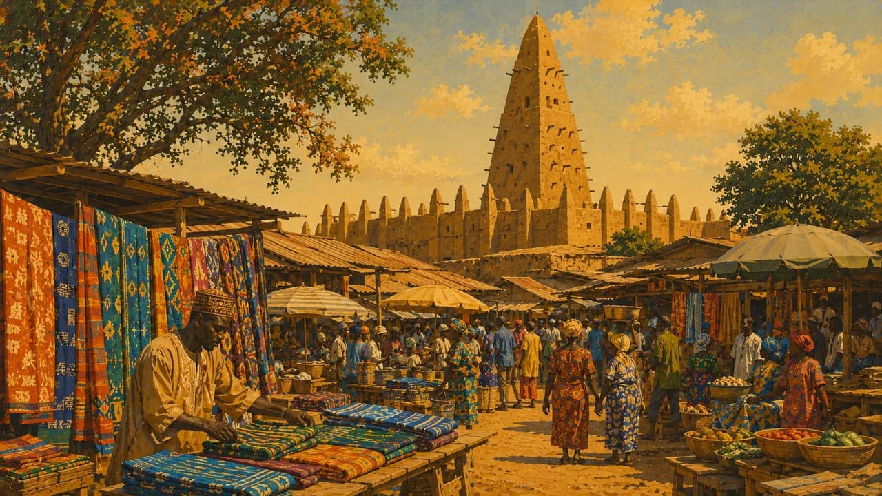
Ivory Coast stretches from the lagoons and humid forests of the Gulf of Guinea to northern savannas. Abidjan is its economic metropolis, with lagoon bridges, markets, contemporary art and the urban sounds of zouglou and coupé-décalé. Yamoussoukro is the political capital, known for its monumental Basilica of Our Lady of Peace. French is the official language, while many local languages are widely spoken.
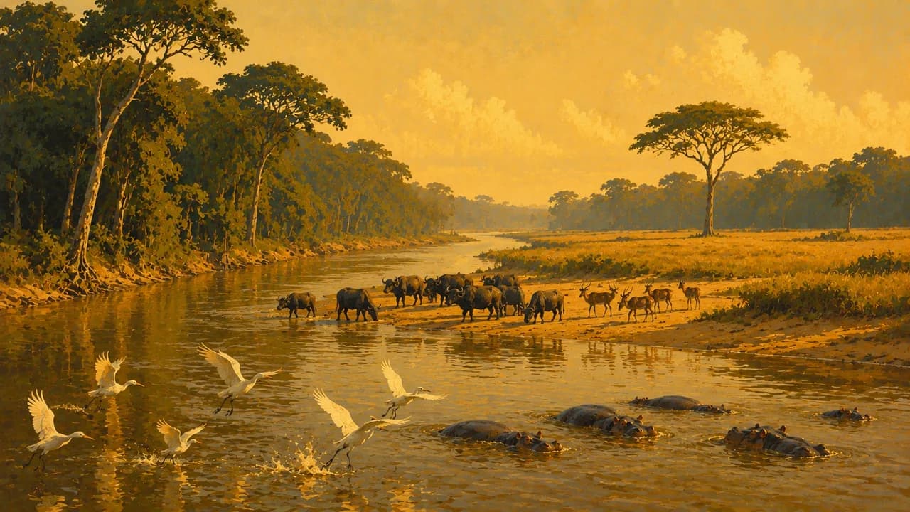
The northeast has distinctive natural heritage, including the Comoé National Park, where savanna meets riverine forest. The German Foreign Office currently warns against travel to the northeastern border area, including this park and Bouna, and advises against non-essential travel immediately along the Mali and Burkina Faso borders. Official advice and local restrictions must guide any itinerary.
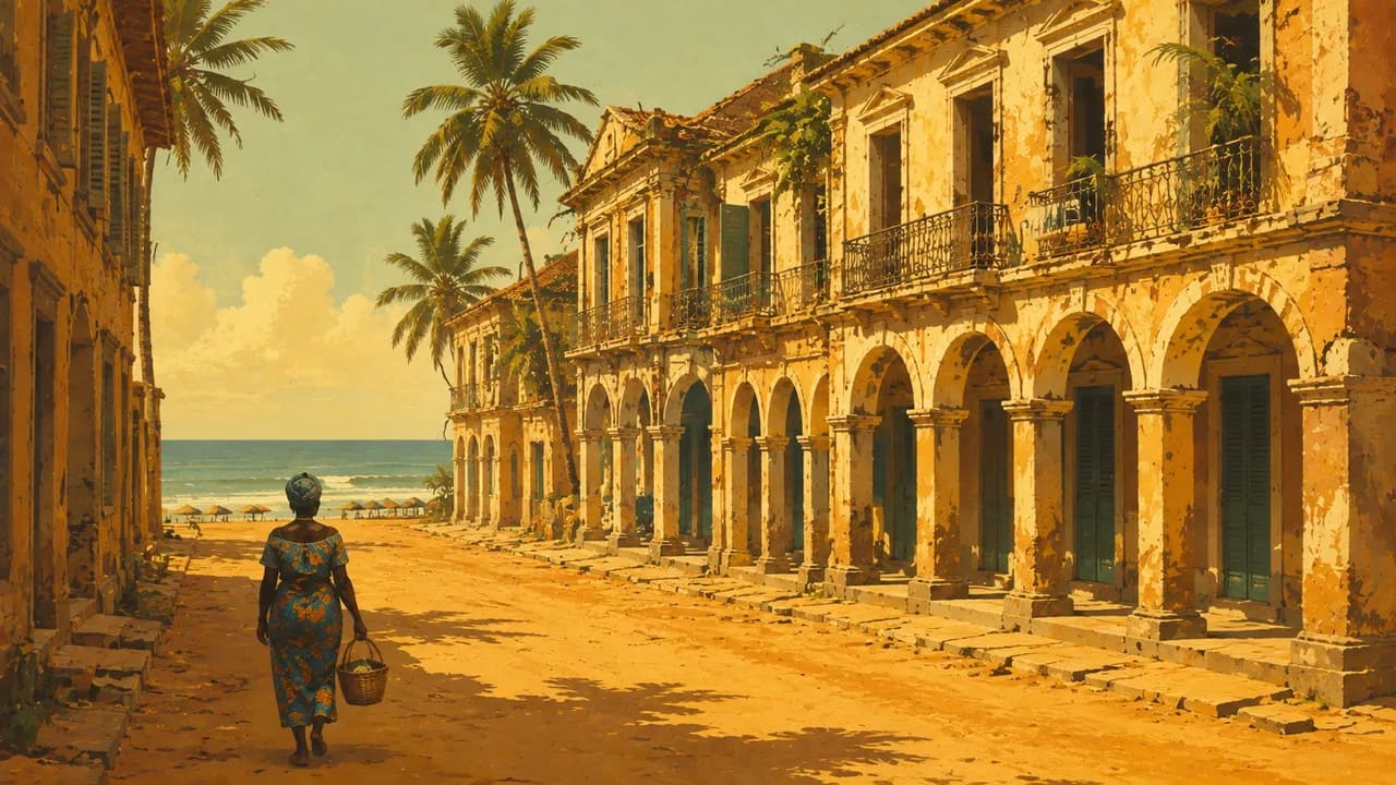
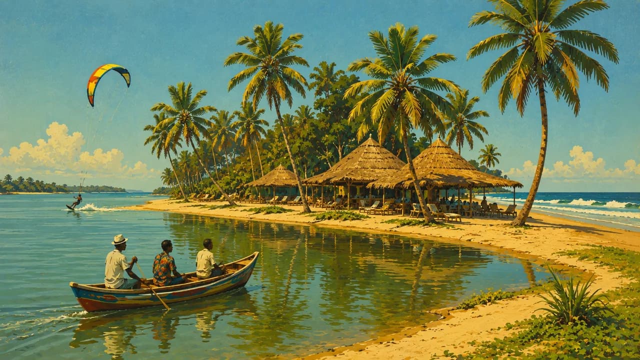
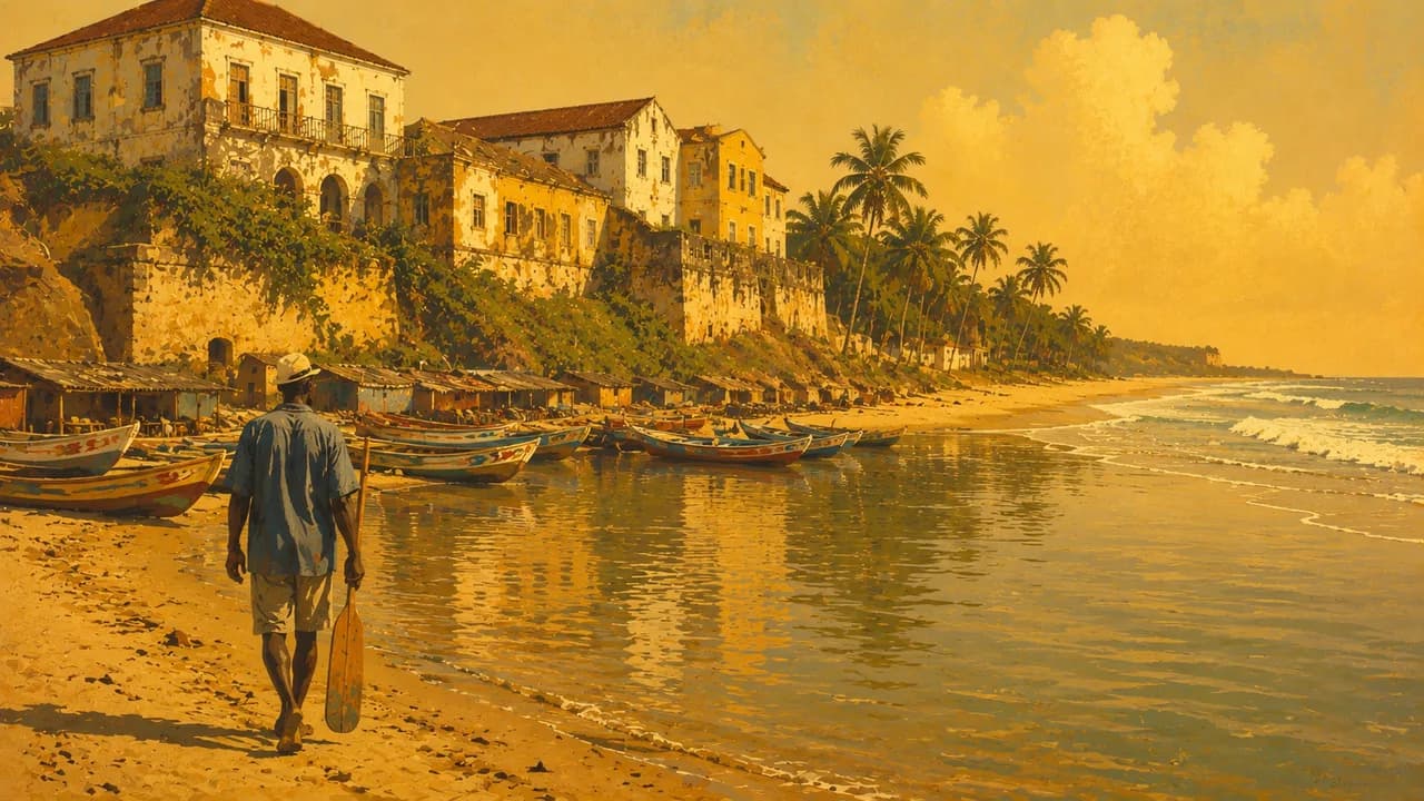
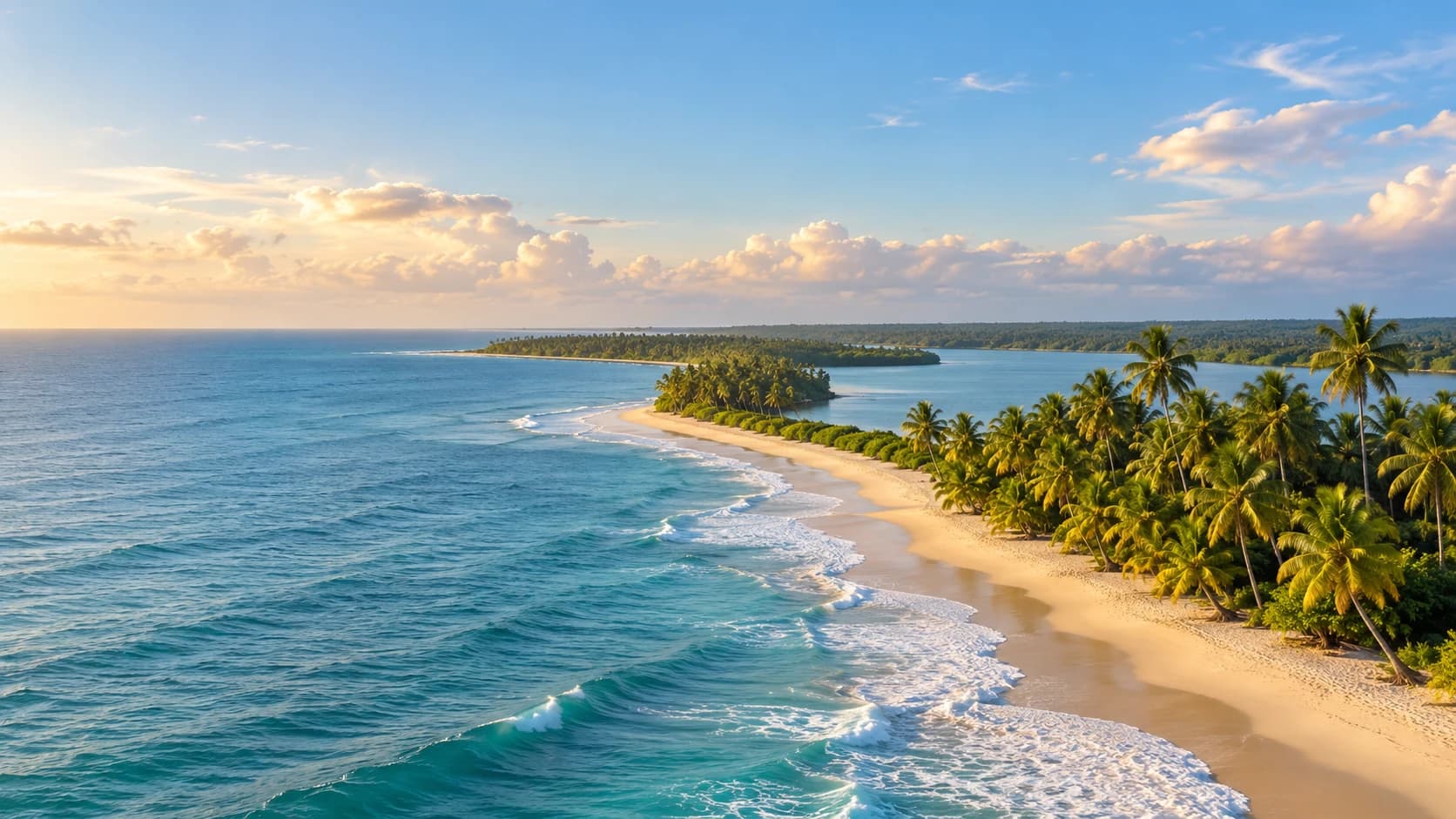
On the coast, UNESCO-listed Grand-Bassam preserves colonial architecture and the N’zima fishing settlement, alongside histories of unequal colonial relations and the independence movement. Assinie combines ocean beaches with lagoon landscapes. Farther west, Sassandra brings together fishing life, a river mouth and coastal scenery. Strong currents make ocean swimming hazardous even where beaches appear inviting.
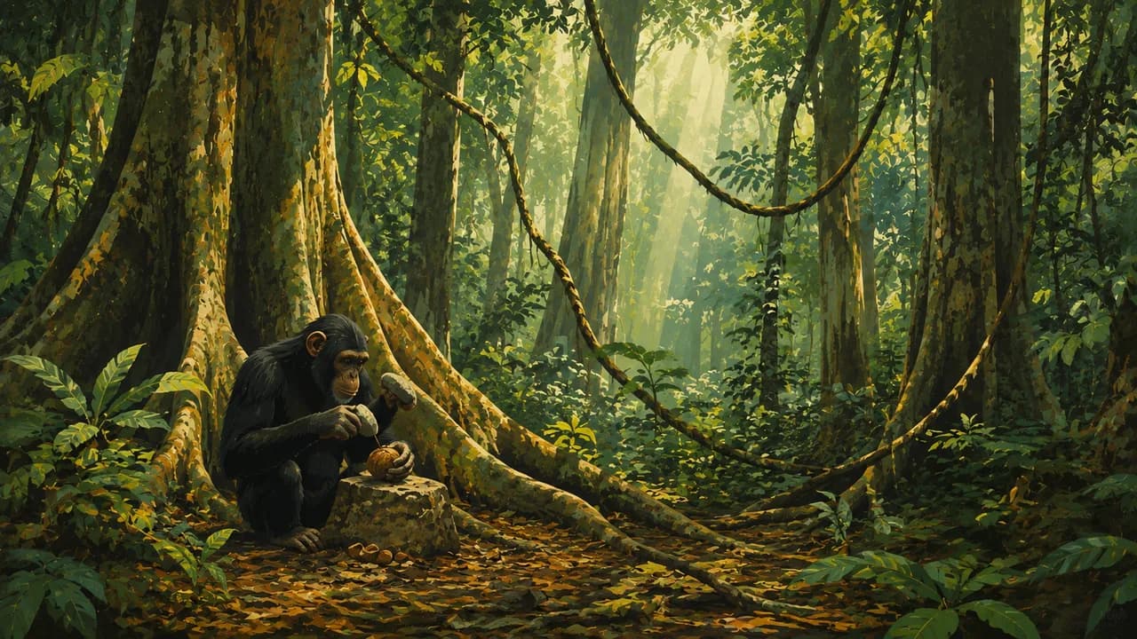
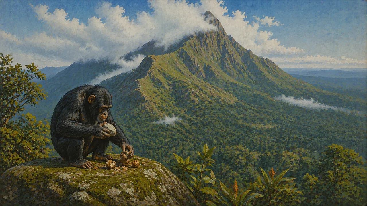
In the west, Man is surrounded by wooded hills and waterfalls. The Nimba mountain landscape, whose UNESCO-listed strict nature reserve is shared with Guinea, protects forest and upland grassland habitats. Taï National Park preserves ancient rainforest with chimpanzees and pygmy hippopotamuses. Protected status does not guarantee visitor access or wildlife sightings, and visits require current local arrangements.
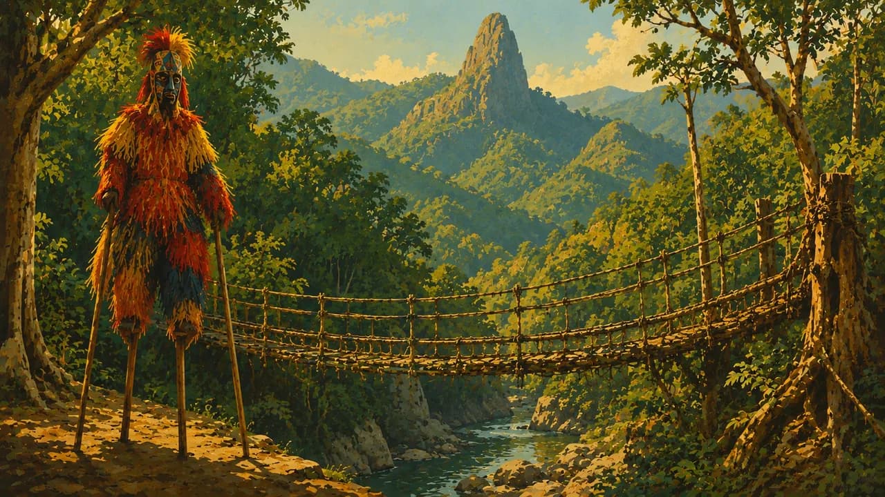
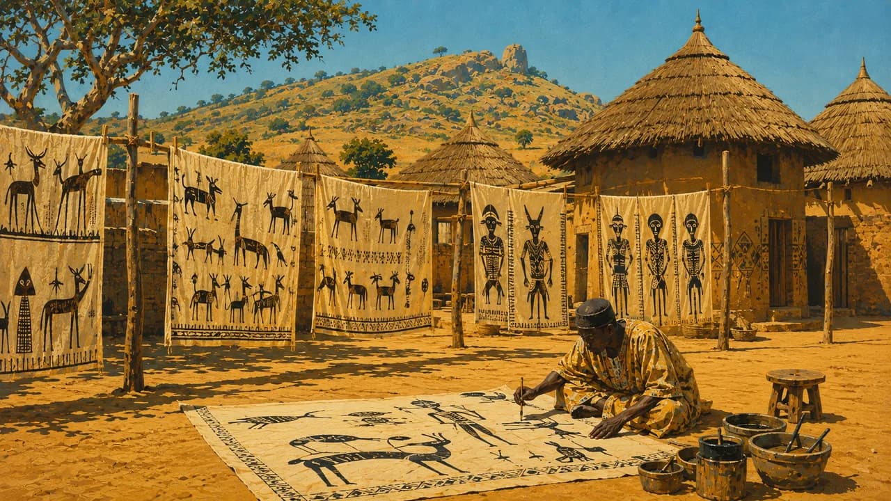
In the centre, Bouaké reflects Baoulé cultural traditions, trade and textile crafts. Around Korhogo in the north, weaving, painted cloth and woodcarving express varied regional skills. Sacred places and initiation traditions are living community heritage, with permission needed for access and photography rather than an expectation of public performances.
Everyday food includes attiéké, steamed fermented cassava granules, alloco fried plantain and kedjenou chicken stew. Maquis restaurants combine food and sociability. Rain can disrupt roads, especially outside the main routes. Drier periods vary by region, while northern Harmattan winds bring dust.
AI edited
- 31
- Regions Côte d’Ivoire has 31 regions. Abidjan and Yamoussoukro have special autonomous district status. These administrative units differ from the geographical groupings in the climate cards.
- ≈ 32.7 million
- Population Rounded UN projection for 2025 using the medium-fertility variant, 32.712 million. This dated estimate is not a new census.
- 322,462 km²
- Area Surface area in the UN World Statistics Pocketbook 2025, with a 2023 reference year.
- French
- Language French is the official language. This does not describe the full linguistic diversity of everyday life.
- Dioula, Baoulé, Bété and Senufo languages
- Other languages Examples of regionally spoken languages and language groups. Usage and names vary by community and region. This is not an exhaustive list.
- West African CFA franc (XOF)
- Currency BCEAO issues the West African CFA franc, ISO code XOF. It differs from the Central African CFA franc, XAF. Payment availability varies by location.
- C · E
- Socket types Plug types C and E, with a nominal supply of 220 V at 50 Hz. Check grounding, appliance compatibility and local installation conditions.
- Yamoussoukro
- Capital Yamoussoukro is the political capital. Abidjan is the economic metropolis and an important administrative centre. The clock shows Yamoussoukro local time.
- Right-hand traffic
- Driving side Traffic drives on the right. Road quality, heavy rain and regional security restrictions affect overland travel.
- UTC±0
- Time zone Greenwich Mean Time throughout the year, without seasonal clock changes. The clock uses Africa/Abidjan, which also applies to Yamoussoukro.
- 2
- UNESCO cultural sites UNESCO cultural properties are the Historic Town of Grand-Bassam and Sudanese style mosques in the north. Comoé, Taï and Nimba, shared with Guinea, are three natural properties. Tentative sites are excluded.
Ivory Coast on the map

Map data: geoBoundaries (CC BY 4.0), © OpenStreetMap contributors (ODbL), Natural Earth
Climate and best time to travel
Germany’s Federal Foreign Office warns against travel to the northeastern border area, including Comoé National Park and Bouna. It advises against non-essential travel immediately along the Mali and Burkina Faso borders. The Comoé card describes ecosystems and climate, without recommending travel or implying access. Current official advice and local restrictions take precedence. The coast is warm and humid year-round, with heavier rain usually from May to July and again in October and November. December to March often brings drier conditions. Western rainforest and uplands remain wetter. The north has a more pronounced dry season, but Harmattan dust and heat can be uncomfortable. Rain can make roads and bridges impassable. Dangerous ocean currents require caution on beaches. Month windows are broad climate guidance and guarantee neither weather, access nor wildlife sightings.