Niger
Nijar
River landscapes, broad savannas and desert mountains meet earthen architecture, creative crafts and diverse pastoral cultures.
Worth coming back!
Wanderlama keeps growing with new destinations, helpful information and exciting features. Check back soon and discover what is new!
Travel to Niger
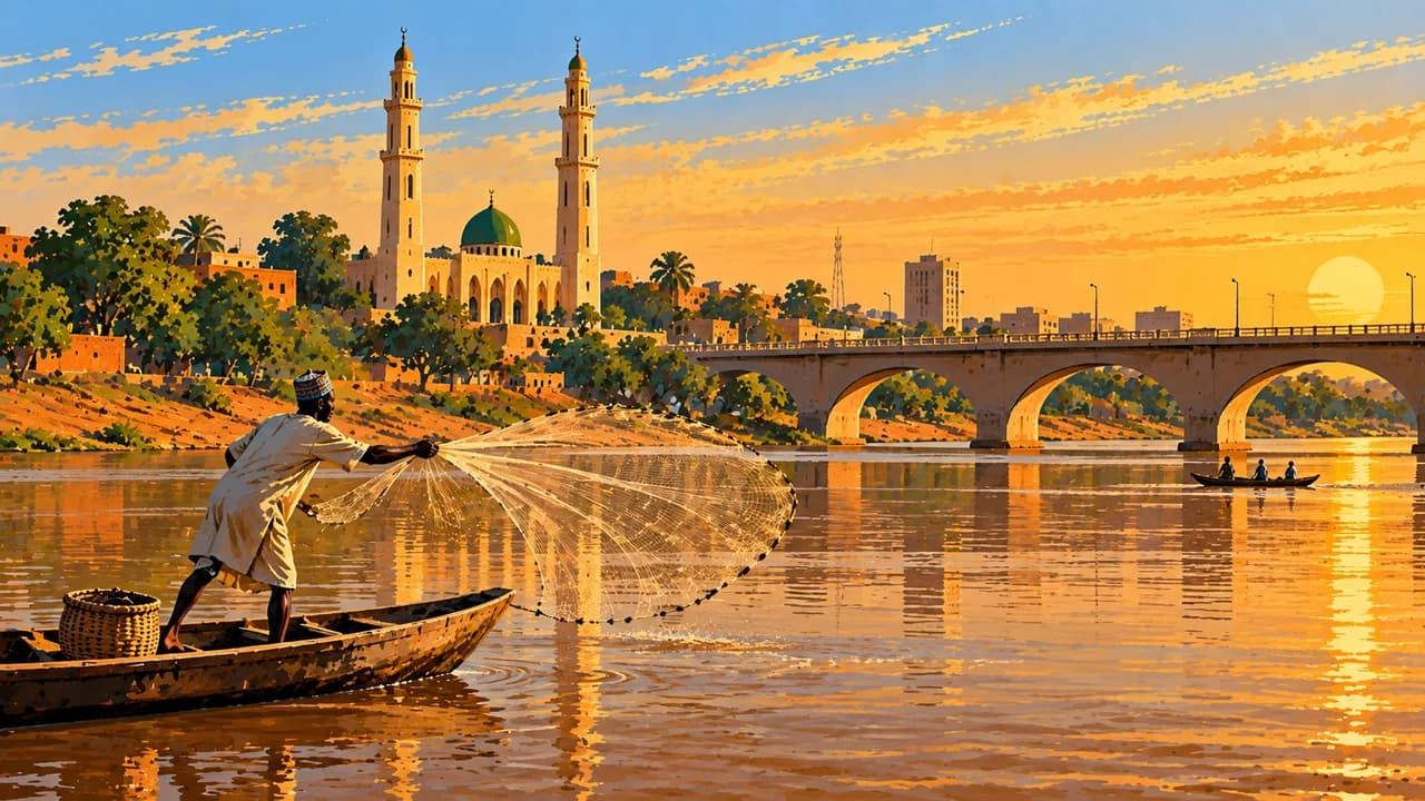
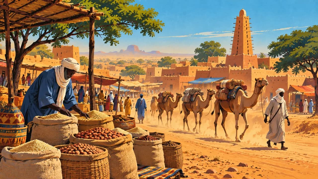
Niger stretches from the Niger River valley and southern Sahelian farming landscapes to Saharan mountains and dunes. The capital Niamey stands on the river, with markets, craft traditions and the Boubou Hama National Museum. Trading networks, pastoral livelihoods and diverse urban cultures connect regions that differ greatly in water availability, vegetation and settlement.
The German Foreign Office currently warns against all travel to Niger and calls on German nationals to leave. Its embassy staff have temporarily relocated and cannot currently guarantee consular assistance. Kidnapping, terrorism and violent crime also threaten Niamey. Northern areas face additional landmine risks. Official restrictions govern journeys outside towns. These descriptions provide context, not assurances of access or travel recommendations.
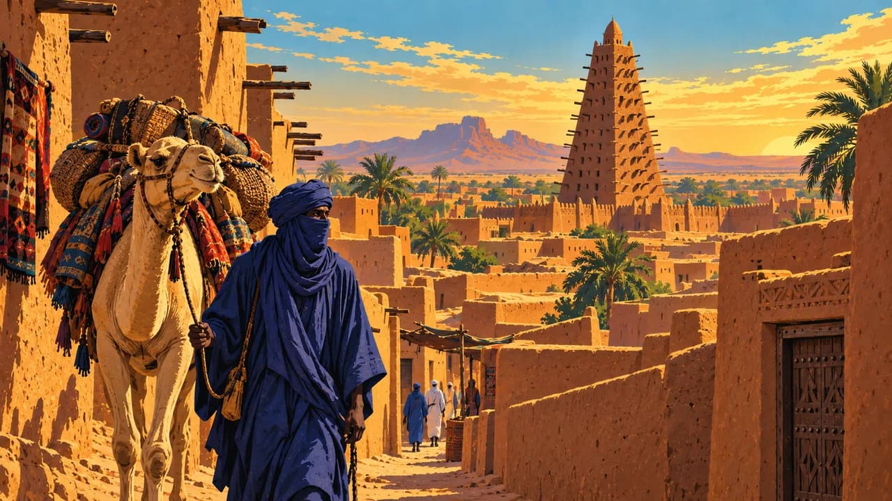
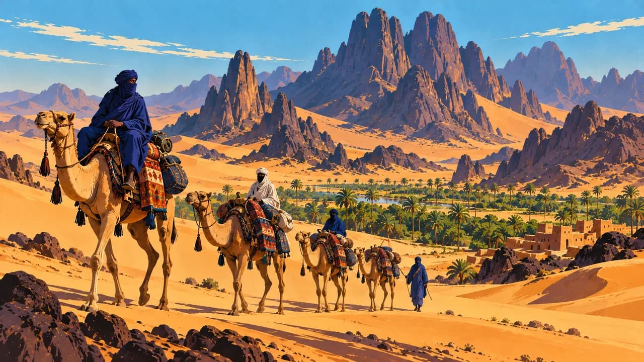
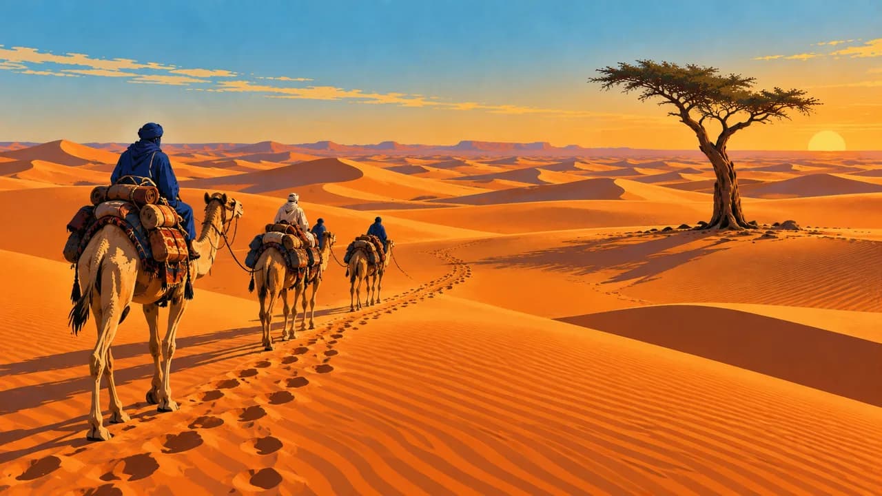
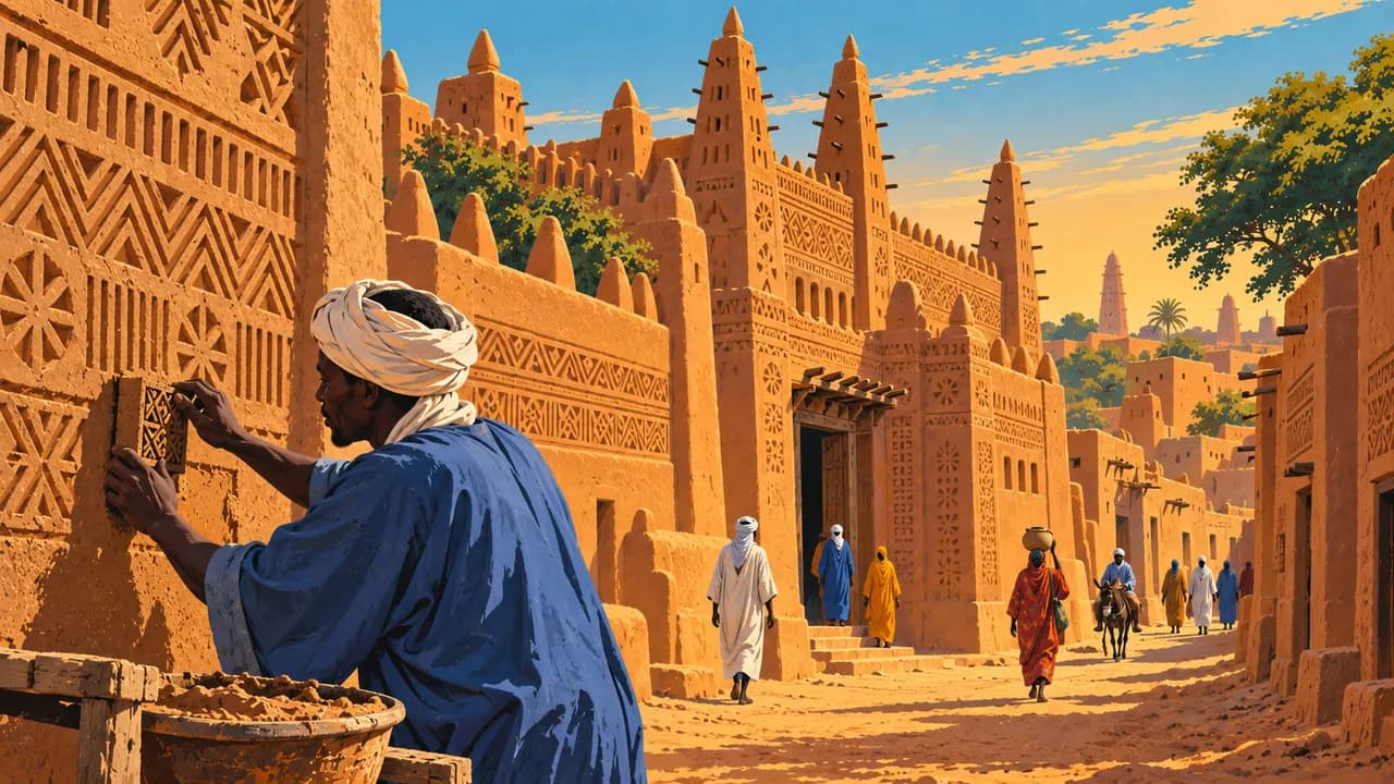
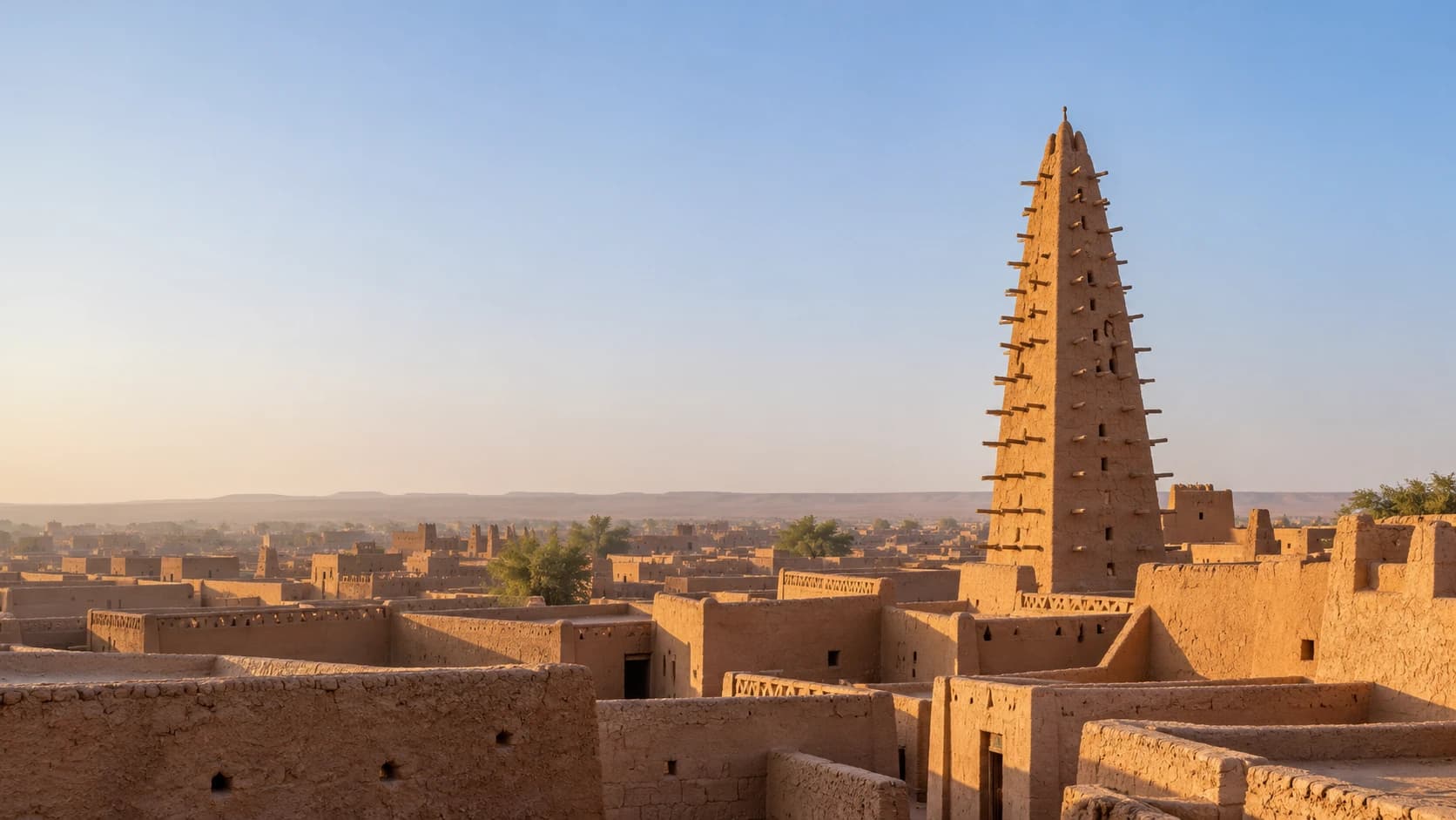
UNESCO-listed Agadez preserves earthen houses, a historic sultanate and the distinctive mosque minaret. The Aïr Mountains contain rugged massifs and valleys, while the Ténéré Desert extends into broad sandy expanses. Together the Aïr and Ténéré Natural Reserves form a separate natural World Heritage property, whose protected status does not establish visitor access.
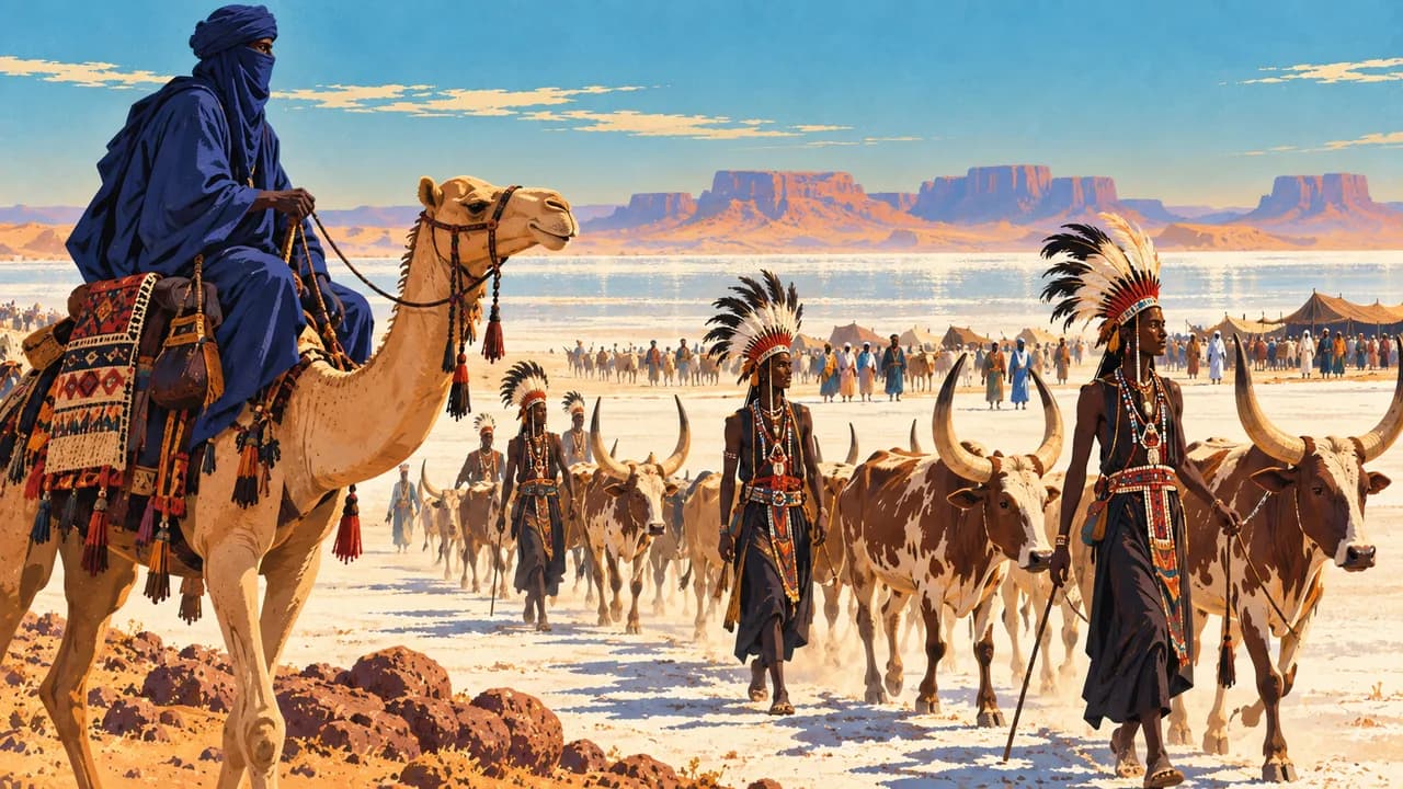
Maradi is an important trading centre in the south. Zinder's Birni quarter recalls Hausa architectural traditions and the Sultanate of Damagaram. Near In-Gall, the Cure Salée gathering connects pastoral communities through livestock care, exchange and cultural expression. Its timing and arrangements vary, and community events should not be treated as guaranteed performances.
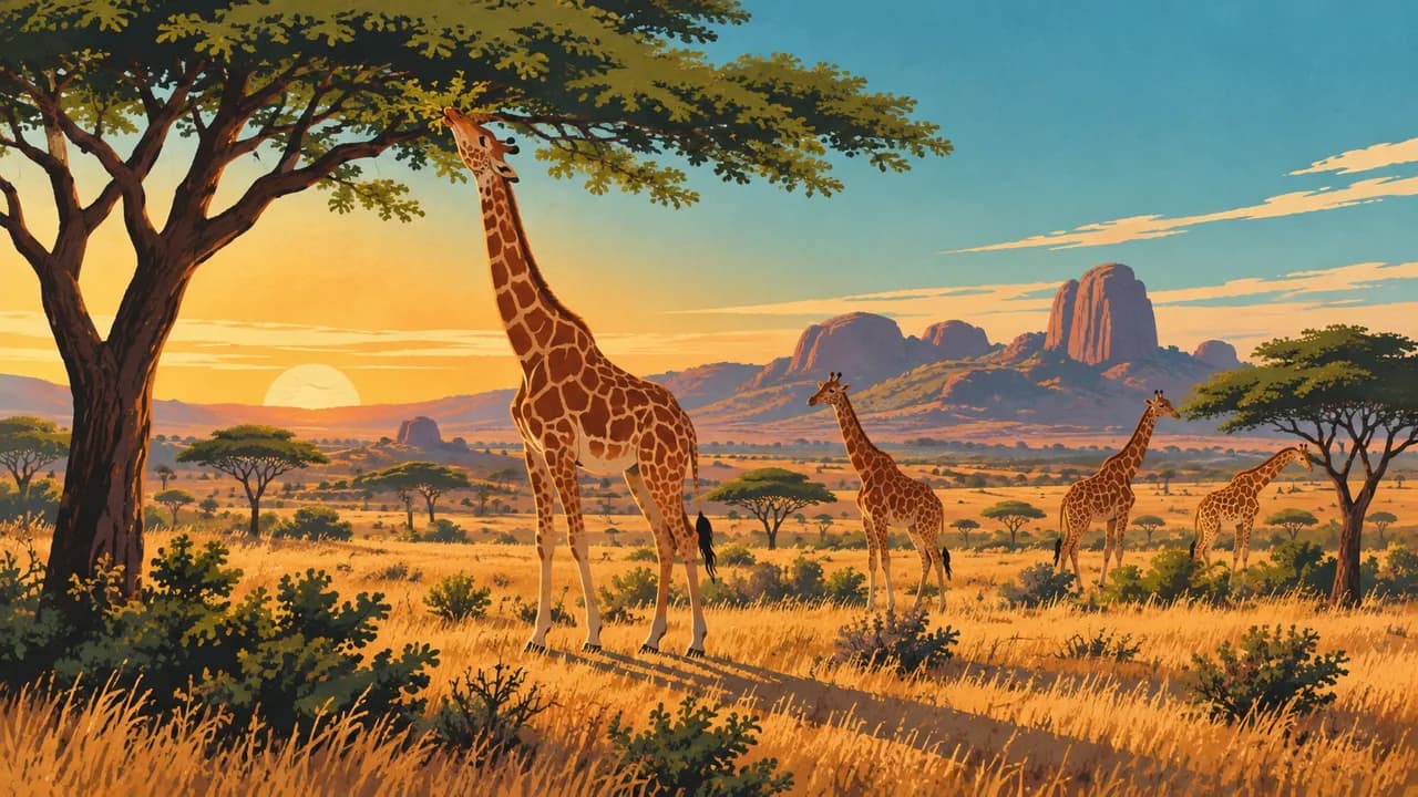
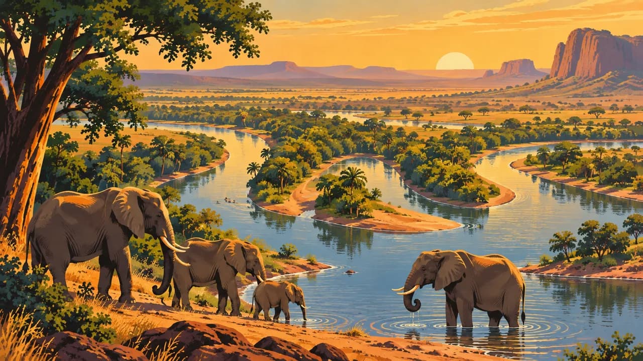
Around Kouré, West African giraffes share landscapes with rural communities. Conservation translocations have also established a population in Gadabedji. Niger's W National Park belongs to the transboundary W-Arly-Pendjari natural World Heritage complex shared with Benin and Burkina Faso. Savanna habitats and river landscapes matter beyond individual wildlife encounters. Sightings are not guaranteed.
Millet and sorghum underpin foods such as tô and dembou, alongside rice and regional sauces. Respect religious customs and seek permission for photographs. Rain, broadly from mid-June to September, can cause flooding and sudden flows in dry channels. Heat and dust persist outside the rains. Cooler weather does not remove security risks.
AI edited
- 7 + 1
- Regions and capital Niger has seven regions and the capital Niamey with a special administrative status. Together they form eight first-level administrative units. The climate-card groupings are thematic.
- ≈ 27.92 million
- Population Rounded UN projection for 2025 using the medium-fertility variant, 27.918 million. This dated estimate is not a new census.
- 1,267,000 km²
- Area Total surface area in the UN World Statistics Pocketbook 2025. Niger is a landlocked country spanning southern Sahel landscapes and extensive Saharan areas.
- Hausa
- Language Article 12 of the Charte de la Refondation promulgated on 26 March 2025 names Hausa as the national language. English and French are working languages. The flag represents Niger and its multilingual population.
- Zarma-Songhai, Fulfulde, Tamajaq
- Other languages Examples of other languages spoken in the country. The charter also lists Arabic, Buduma, Gourmancema, Kanuri, Tagdal, Tassawaq and Tubu. English and French are working languages. Communication varies between communities and regions.
- West African CFA franc
- Currency Niger uses the West African CFA franc issued by the BCEAO, with code XOF. It is distinct from the Central African CFA franc XAF. Cash supplies and payment services may be disrupted.
- C · D · E · F
- Socket types Electrical Safety First lists plug types C, D, E and F, with 220 V at 50 Hz. Check local installations, grounding and appliance compatibility. A travel adapter does not convert voltage or frequency.
- Niamey
- Capital Niamey is the capital on the Niger River and a major administrative, trading and cultural centre. The clock shows the capital's local time.
- Right-hand traffic
- Driving side Traffic drives on the right. Terrorist attacks, kidnapping, landmines and damaged roads endanger journeys. Special state restrictions apply outside towns. The nationwide travel warning takes precedence.
- UTC+1
- Time zone West Africa Time throughout the year without seasonal clock changes. The clock uses Africa/Niamey. Niger is one hour ahead of UTC.
- 1
- UNESCO cultural site The Historic Centre of Agadez is Niger's one UNESCO cultural World Heritage property. The Aïr and Ténéré Natural Reserves and the transboundary W-Arly-Pendjari Complex are natural properties, excluded here. Zinder is on the tentative list.
Niger on the map

Map data: geoBoundaries (CC BY 4.0), © OpenStreetMap contributors (ODbL), Natural Earth
Climate and best time to travel
Niger spans southern Sahel landscapes and the Sahara. November to February is often drier and less hot, but can bring cool nights and Harmattan dust. April to June is particularly hot and dry. Rain broadly from mid-June to late September can cause flooding and sudden flows in dry channels. The month cards describe broad climate windows and guarantee neither weather nor access. For Cure Salée they do not replace a confirmed event date. The German Foreign Office currently warns against all travel to Niger and calls on German nationals to leave. Kidnapping, terrorist attacks and violent crime also threaten Niamey. Northern areas face additional landmine risks. Official restrictions govern journeys outside towns. Relocated German embassy staff cannot currently guarantee consular assistance. No season makes a route safe. Protected status guarantees neither visitor access nor wildlife sightings. Current official advice and local restrictions take precedence.