Benin
Royal heritage, living Vodun traditions and lake communities connect coast, hills and savanna.
Worth coming back!
Wanderlama keeps growing with new destinations, helpful information and exciting features. Check back soon and discover what is new!
Travel to Benin
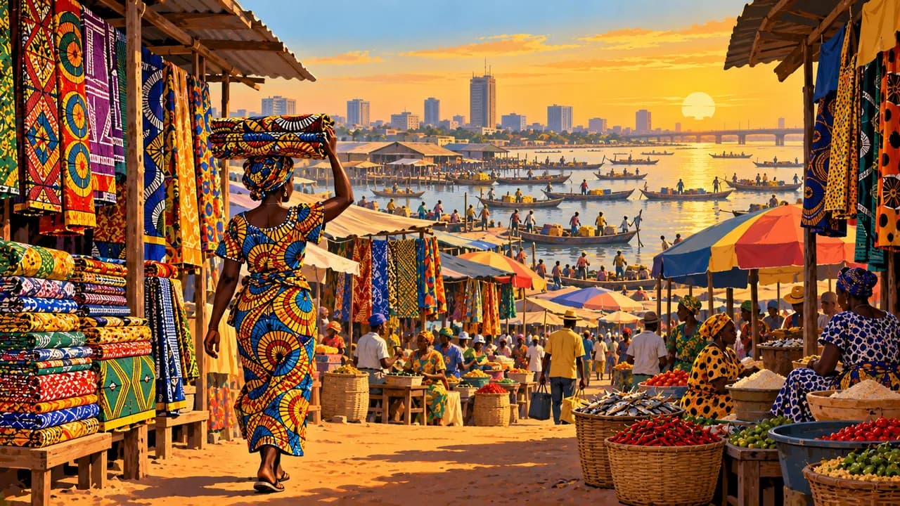
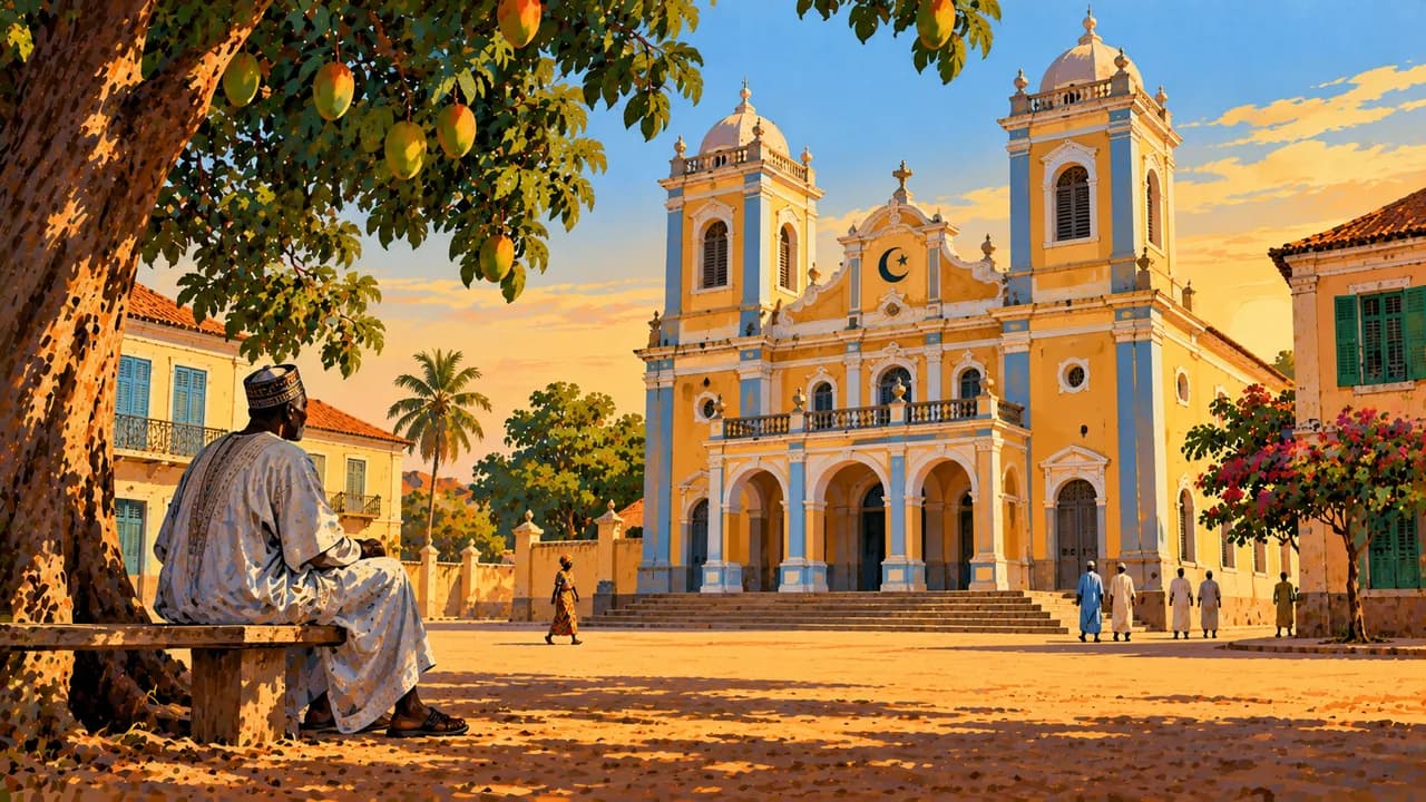
Benin stretches from the Gulf of Guinea through lagoon landscapes and central hills to northern savannas. Porto-Novo is the capital, with royal, Yoruba and Afro-Brazilian architectural heritage. Cotonou is the economic centre, combining markets, port activity, contemporary art and the energy of a growing coastal city.
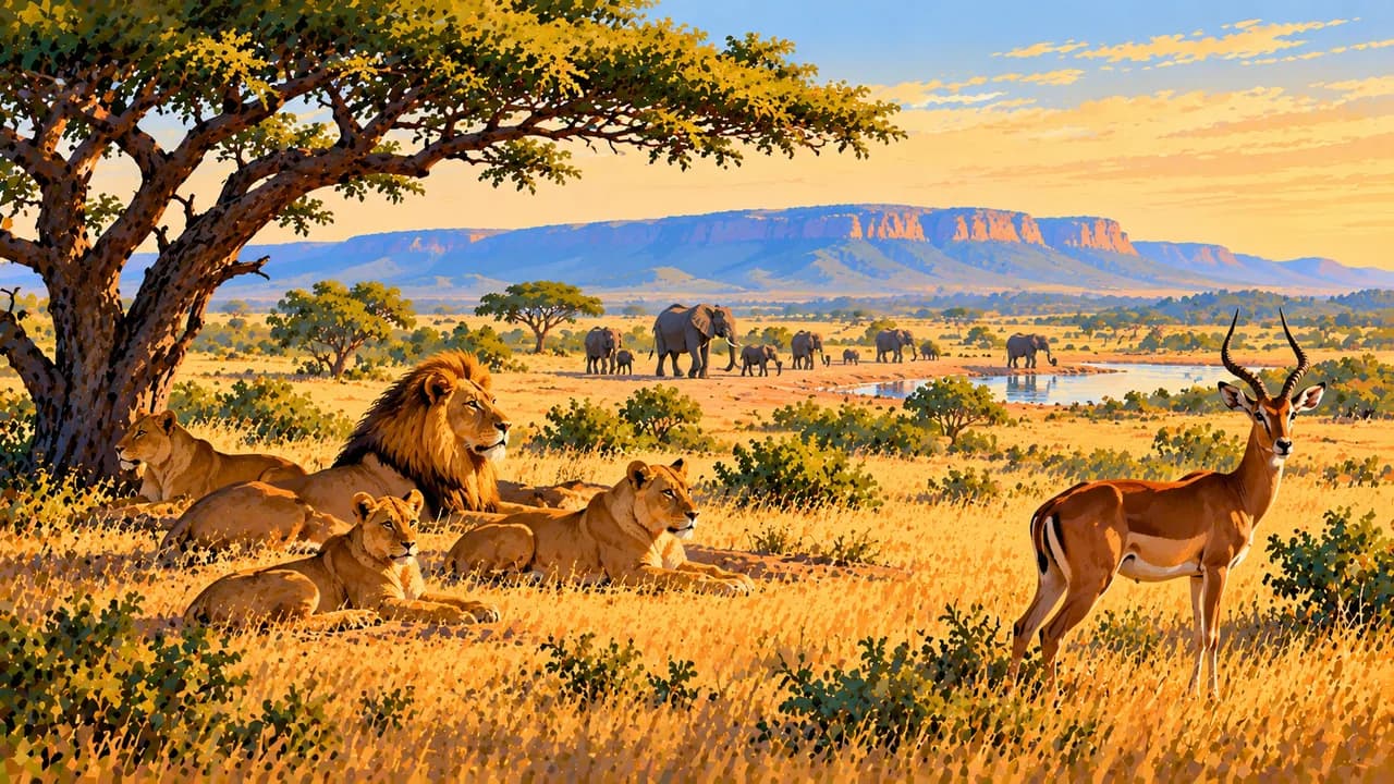
Northern heritage includes the Atakora landscapes around Natitingou and the earthen tower houses of Batammariba communities. Pendjari National Park forms part of the UNESCO-listed W-Arly-Pendjari savanna complex. These are not unrestricted touring destinations. Germany’s Federal Foreign Office warns against specified northern border areas and strongly advises against travel to further northern areas including Natitingou. Terrorism and kidnapping risks require current regional advice.
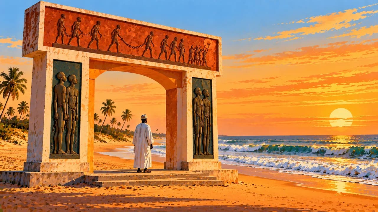
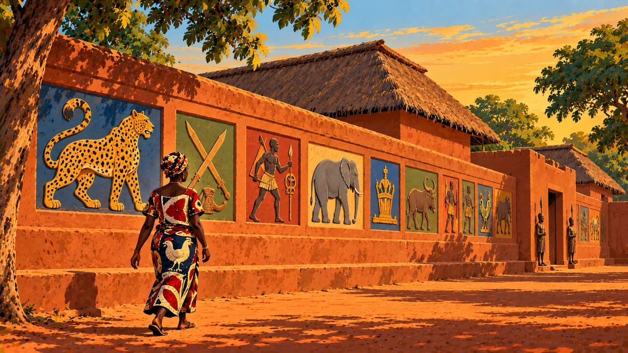
Ouidah combines remembrance of the transatlantic slave trade, including the Door of No Return, with living Vodun traditions and the Python Temple. Ceremonies are religious practices, not simply performances for visitors. Ask permission before photography or entering sacred places. Abomey’s UNESCO-listed royal palaces preserve the earthen architecture and symbols of Dahomey, whose history also includes warfare and participation in the slave trade.
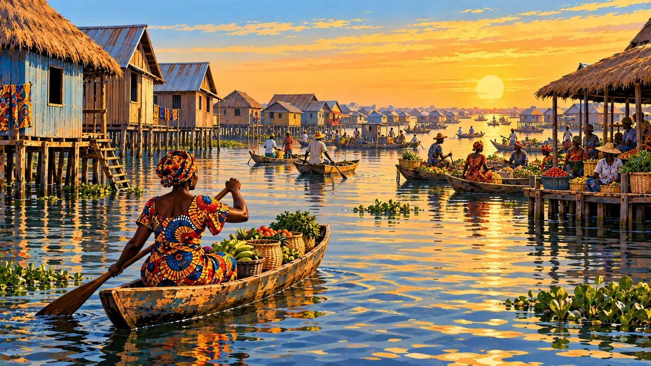
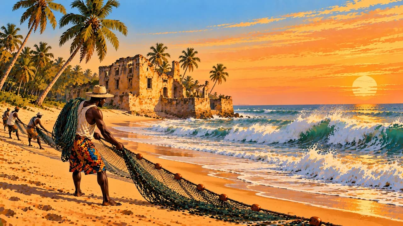
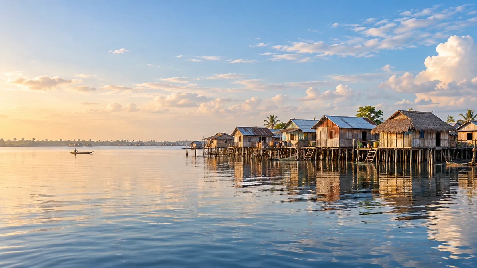
On Lake Nokoué, Ganvié is an inhabited stilt settlement shaped by fishing, trade and travel by canoe. Respect residents’ privacy rather than treating their homes as scenery. Grand-Popo offers another coastal landscape where the Mono River, lagoons and Atlantic beaches meet. Strong surf and currents make unprotected ocean swimming dangerous.
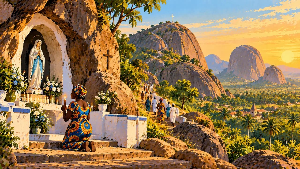
Dassa-Zoumé adds granite hills, local royal traditions and pilgrimage sites to the central landscape. Regional food varies with farming and fishing traditions. Maize and cassava preparations, pounded yam, sauces and fish offer different perspectives on everyday life. Markets and contemporary cultural spaces complement the better-known historical monuments.
The south is humid, with two main rainy periods, while the north has a more pronounced wet and dry season. Heavy rain can disrupt roads and crossings. The drier months often ease travel conditions, but Harmattan dust can affect visibility and comfort. Seasonality and heritage status never guarantee access or safety.
AI edited
- 12
- Departments Benin has twelve departments. These administrative units are distinct from the geographical and activity groupings in the climate cards.
- ≈ 14.8 million
- Population UN World Statistics Pocketbook 2025 projected estimate of 14.814 million, medium-fertility variant, rounded here to 14.8 million. This dated projection is not a new census.
- 114,763 km²
- Area Surface area reported in the UN World Statistics Pocketbook 2025, with a 2023 reference year, also used by the national country overview.
- French
- Language French is the official language. Its official role does not describe the full range of languages used in everyday life.
- Fon, Yoruba, Bariba and Dendi
- Other languages These are examples of Benin’s national and community languages. Usage varies by region and community, and this is not an exhaustive list.
- West African CFA franc (XOF)
- Currency Benin uses the West African CFA franc issued by BCEAO, ISO code XOF. It is distinct from the Central African CFA franc, XAF. Payment availability varies by location.
- C · E
- Socket types Electrical Safety First lists C and E plugs, with a nominal supply of 220 V at 50 Hz. Confirm grounding, appliance compatibility and local installation conditions.
- Porto-Novo
- Capital Porto-Novo is the official capital. Cotonou is the economic centre and seat of government. The clock shows Porto-Novo local time.
- Right-hand traffic
- Driving side Traffic drives on the right. Road quality, seasonal flooding, traffic risks and regional security restrictions affect travel conditions.
- UTC+1
- Time zone Benin observes West Africa Time, UTC+1, throughout the year, without seasonal clock changes. The clock uses Africa/Porto-Novo.
- 2
- UNESCO cultural sites UNESCO lists the Royal Palaces of Abomey and the transboundary Koutammakou cultural landscape, extended into Benin in 2023. W-Arly-Pendjari is a separate natural property. Tentative sites are not counted.
Benin on the map

Map data: geoBoundaries (CC BY 4.0), © OpenStreetMap contributors (ODbL), Natural Earth
Climate and best time to travel
Germany’s Federal Foreign Office warns against travel within 50 km of the border in Atakora and Alibori. It strongly advises against further specified northern areas including Natitingou and against the Nigeria border area in Borgou. Terrorism and kidnapping risks mean the northern cards, including Pendjari, describe climatic and heritage context rather than access or travel recommendations. Check current official advice before choosing any route. Southern Benin is humid, with main rainy periods from April to mid-July and mid-September to October. Northern rains generally run from June to September. Drier months often ease conditions, but Harmattan dust can affect visibility and comfort. Heavy rain may disrupt roads. Strong surf and currents make unprotected ocean swimming dangerous. Month windows guarantee neither weather, access nor wildlife sightings.