Mali
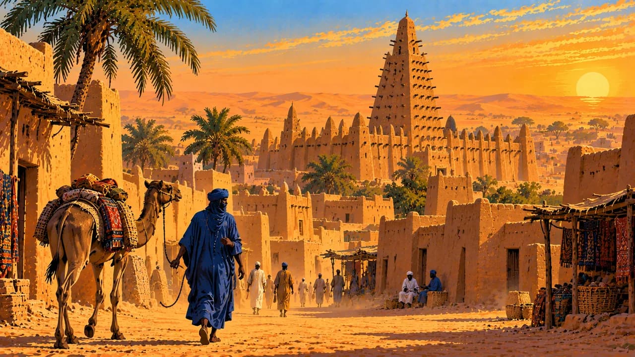
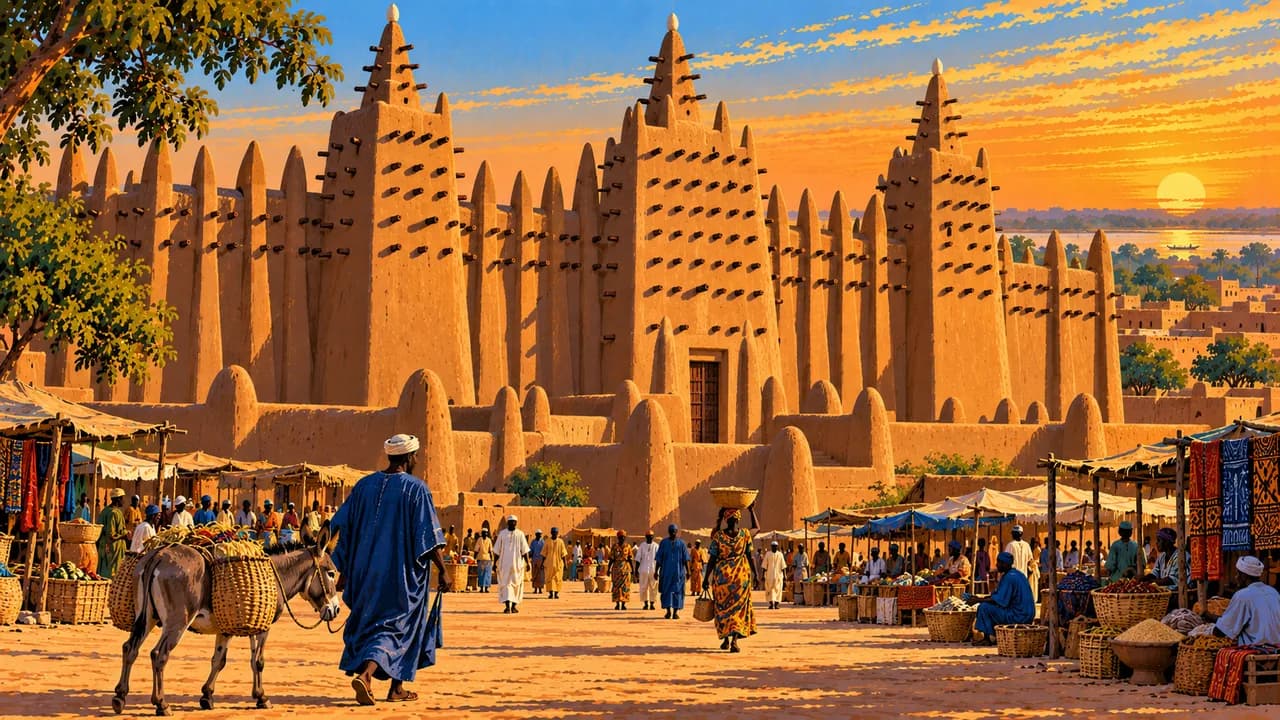
Earthen architecture, river landscapes and broad savannas meet inherited musical knowledge, creative crafts and a complex history.
Worth coming back!
Wanderlama keeps growing with new destinations, helpful information and exciting features. Check back soon and discover what is new!
Travel to Mali
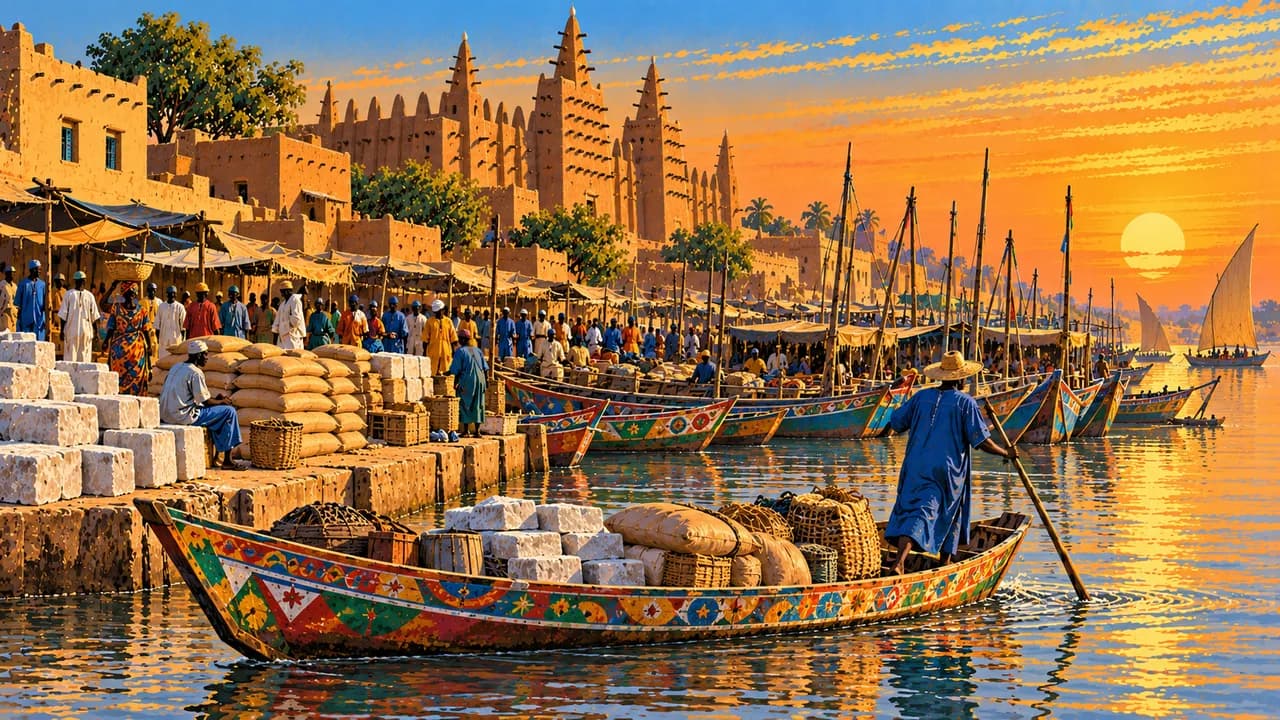
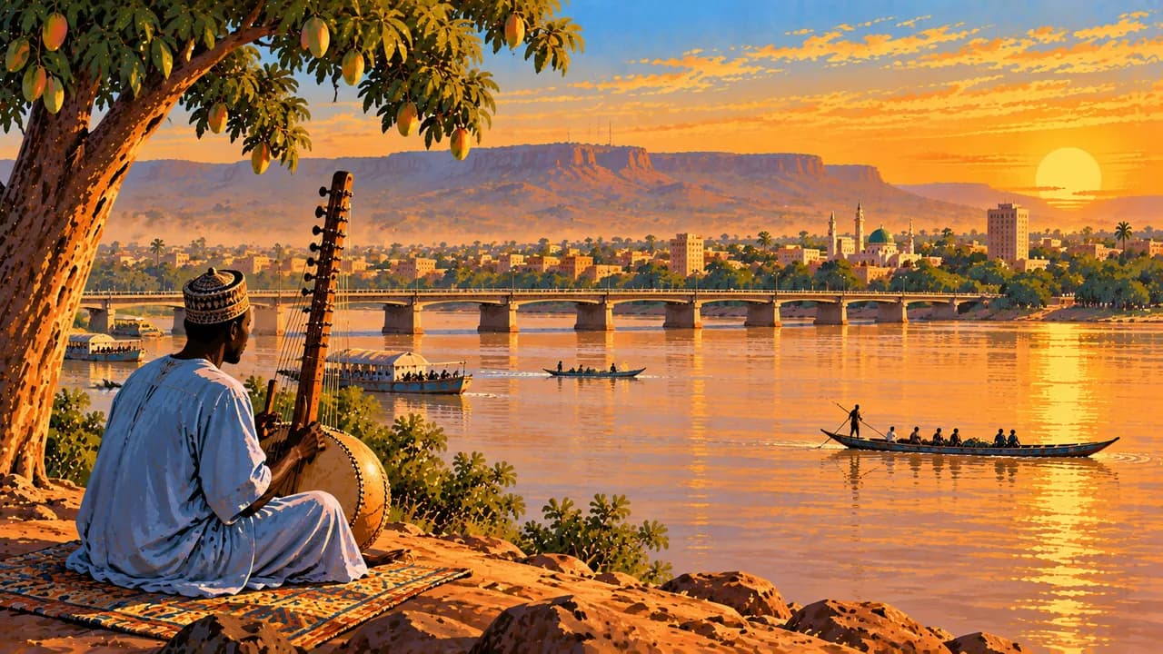
Mali spans greener southern savannas, the Sahel and the Sahara, linked by the Niger River and centuries of trade. The legacies of the Ghana, Mali and Songhai empires sit alongside diverse living cultures. Bamako, the capital on the Niger, brings together markets, craft traditions, museums and a nationally influential music scene.
The German Foreign Office currently warns against all travel to Mali and calls on German nationals to leave by air. It also warns against departure overland. Terrorist attacks, armed conflict, kidnapping and explosive devices affect travel, including around Bamako. The places described here provide cultural and geographical context, not an assurance of access or a travel recommendation.
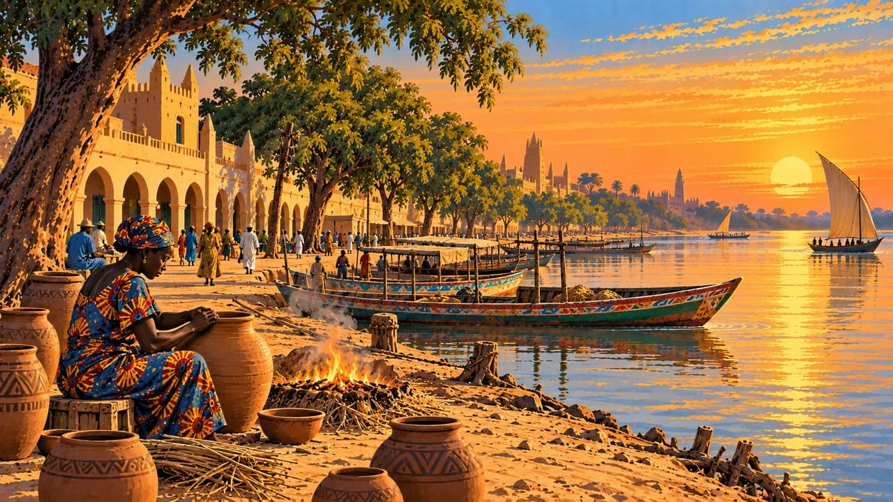
Ségou is associated with riverside settlements, pottery and bogolan textiles dyed using mud. Mopti stands at the meeting of the Niger and Bani rivers, near the Inner Niger Delta. Seasonal flooding sustains fisheries, rice cultivation and pastoral livelihoods in this extensive wetland landscape.
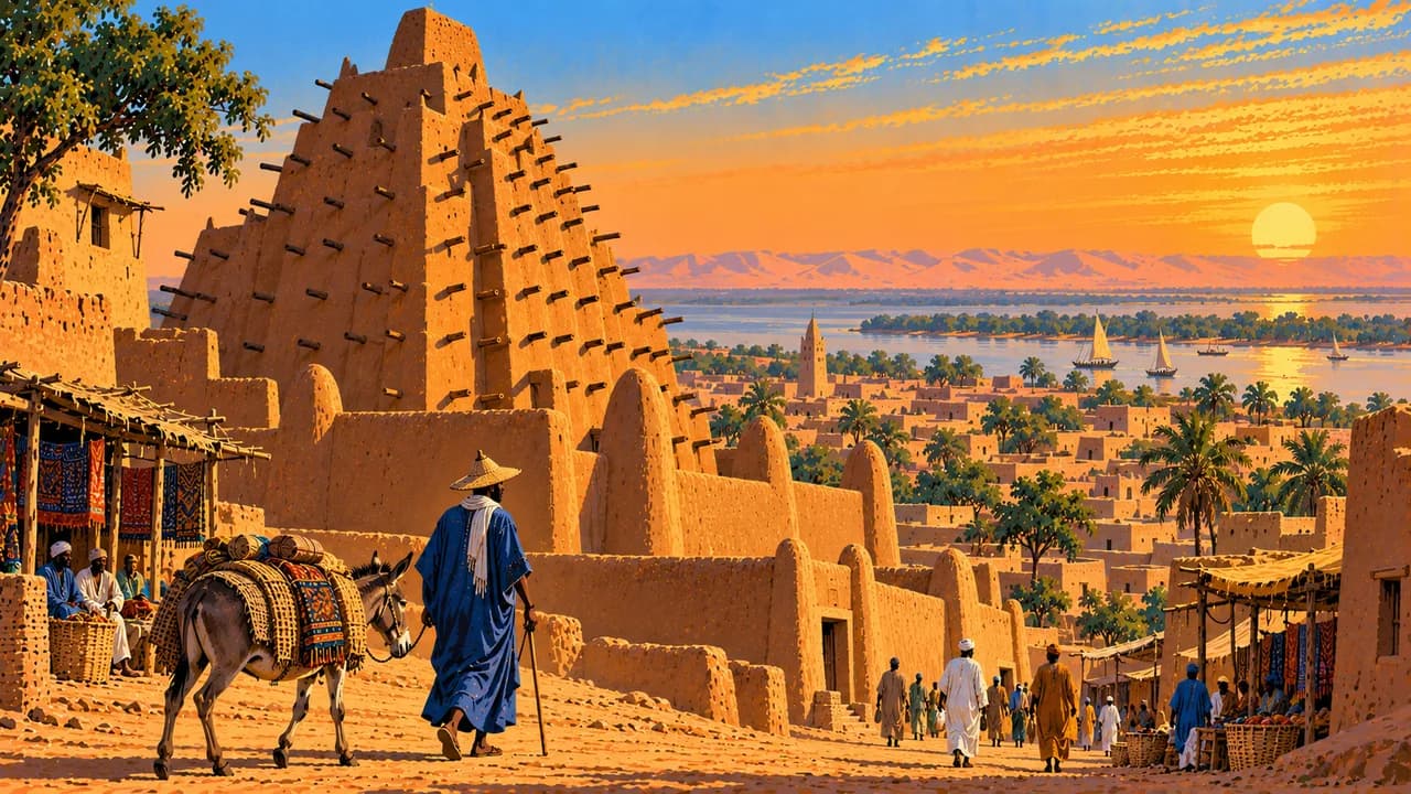
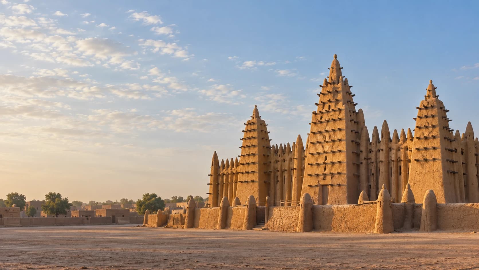
UNESCO-listed Djenné preserves distinctive earthen architecture and a monumental mosque maintained through communal work. Timbuktu recalls trans-Saharan exchange, Islamic scholarship and manuscript collections. In Gao, the Tomb of Askia bears witness to the Songhai Empire. Heritage protection does not imply that monuments or collections are open to visitors.
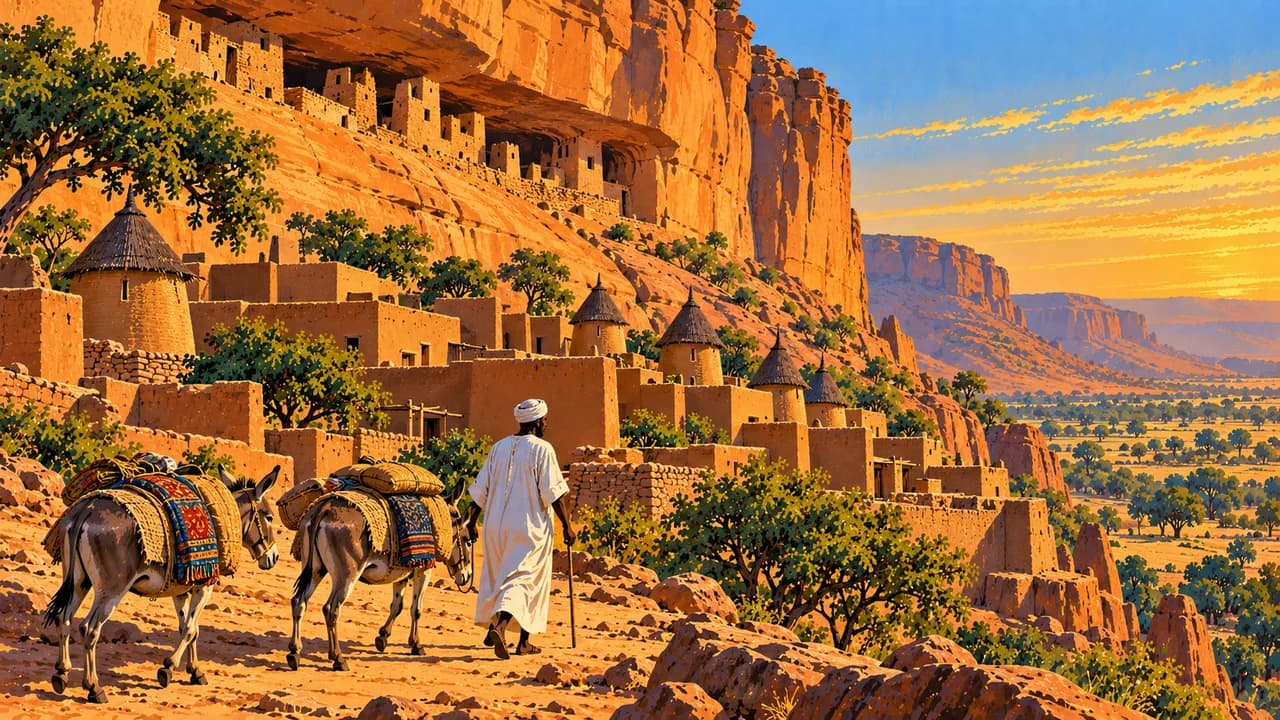
The Bandiagara escarpment in Dogon Country is a mixed cultural and natural World Heritage property, with cliffs, settlements and agricultural landscapes. Dogon communities have varied living traditions. Sacred places, ceremonies and photography require respect for community rules, without expectations of staged performances.
Oral historians and musicians transmit knowledge through song and instruments such as kora and balafon. Food includes millet or sorghum tô with sauces, rice dishes, fish and grilled meat. Rain generally falls from June into September or October, varying by region. Flooding can disrupt roads, while heat, dust and sandstorms also shape conditions. Seasonal weather never overrides the travel warning.
AI edited
- 19 + 1
- Regions and district Since the 2023 administrative reform, Mali has nineteen regions and the Bamako district. The thematic climate-card groupings are not administrative divisions.
- ≈ 25.2 million
- Population Rounded UN projection for 2025 using the medium-fertility variant, 25.199 million. This dated estimate is not a new census.
- 1,240,192 km²
- Area Total surface area in the UN World Statistics Pocketbook 2025. Land and water areas are included. Other sources may use different area figures.
- National languages
- Official languages Article 31 of the 2023 constitution makes the national languages official languages. Examples include Bamanankan or Bambara, Fulfulde, Songhai and Tamasheq. The flag here represents Mali's multilingual population.
- French
- Working language French is the constitutional working language. Since the 2023 constitution it is no longer the sole official language. Language use and communication vary between communities and regions.
- West African CFA franc
- Currency Mali uses the West African CFA franc issued by the BCEAO, with code XOF. It is distinct from the Central African CFA franc XAF. Cash and payment services may be disrupted.
- C · E
- Socket types Electrical Safety First lists plug types C and E, with 220 V at 50 Hz. Check local voltage, grounding, appliance compatibility and adapters before use. A travel adapter does not convert voltage or frequency.
- Bamako
- Capital Bamako is the capital on the Niger River and a major administrative, trading and cultural centre. The clock shows Bamako local time.
- Right-hand traffic
- Driving side Traffic drives on the right. Terrorist attacks, explosive devices, checkpoints, damaged roads and flooding endanger journeys. The German Foreign Office also warns against overland departure.
- UTC±0
- Time zone Greenwich Mean Time throughout the year without seasonal clock changes. The clock uses Africa/Bamako.
- 3
- UNESCO cultural sites The three UNESCO cultural properties are the Old Towns of Djenné, Timbuktu and the Tomb of Askia in Gao. Bandiagara is a mixed cultural and natural property and is not counted here.
Mali on the map

Map data: geoBoundaries (CC BY 4.0), © OpenStreetMap contributors (ODbL), Natural Earth
Climate and best time to travel
Mali spans wetter southern savannas, the Sahel and the Sahara. November to February is often drier and less hot, but can bring Harmattan dust. Heat intensifies before the rains. Depending on the region, rain falls broadly from June into September or October. Flooding and changing river levels can interrupt roads and connections. The cards describe broad climate windows and cultural context. They do not recommend travel or guarantee access. The German Foreign Office currently warns against all travel to Mali, calls on German nationals to leave by air and warns against overland departure. Terrorist attacks, armed conflict, kidnapping and explosive devices also affect the Bamako area. No season makes a route safe. Current official advice and local restrictions take precedence.