Sierra Leone
Salone
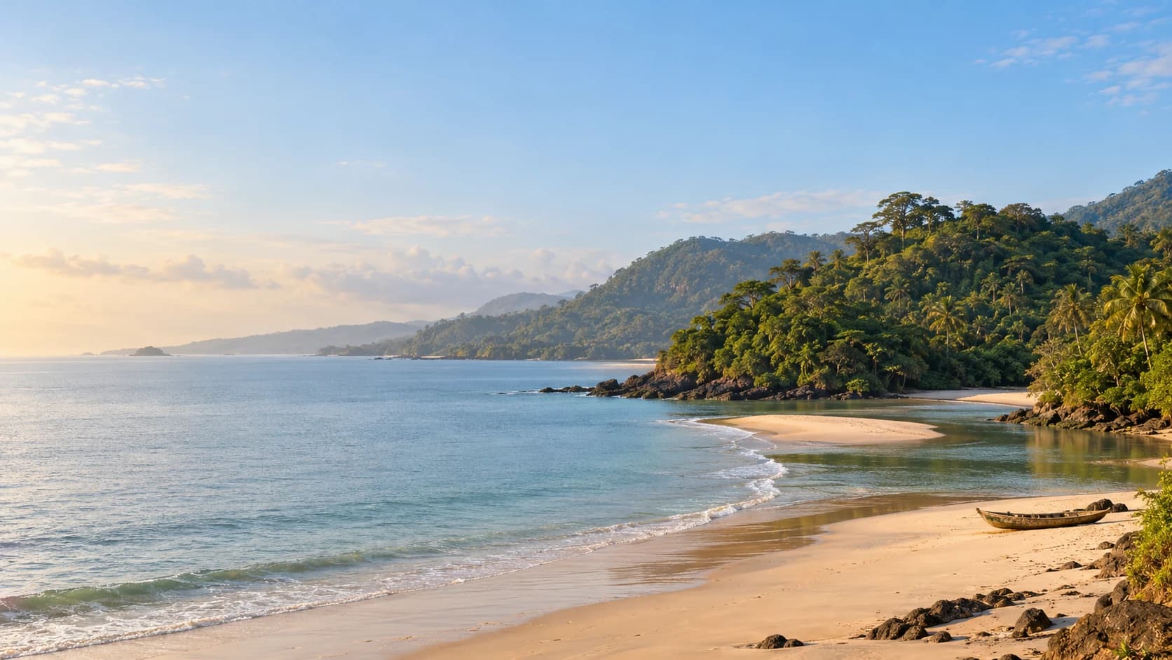
Forested hills, Atlantic beaches and river islands meet Krio heritage, places of remembrance and everyday market life.
Worth coming back!
Wanderlama keeps growing with new destinations, helpful information and exciting features. Check back soon and discover what is new!
Travel to Sierra Leone
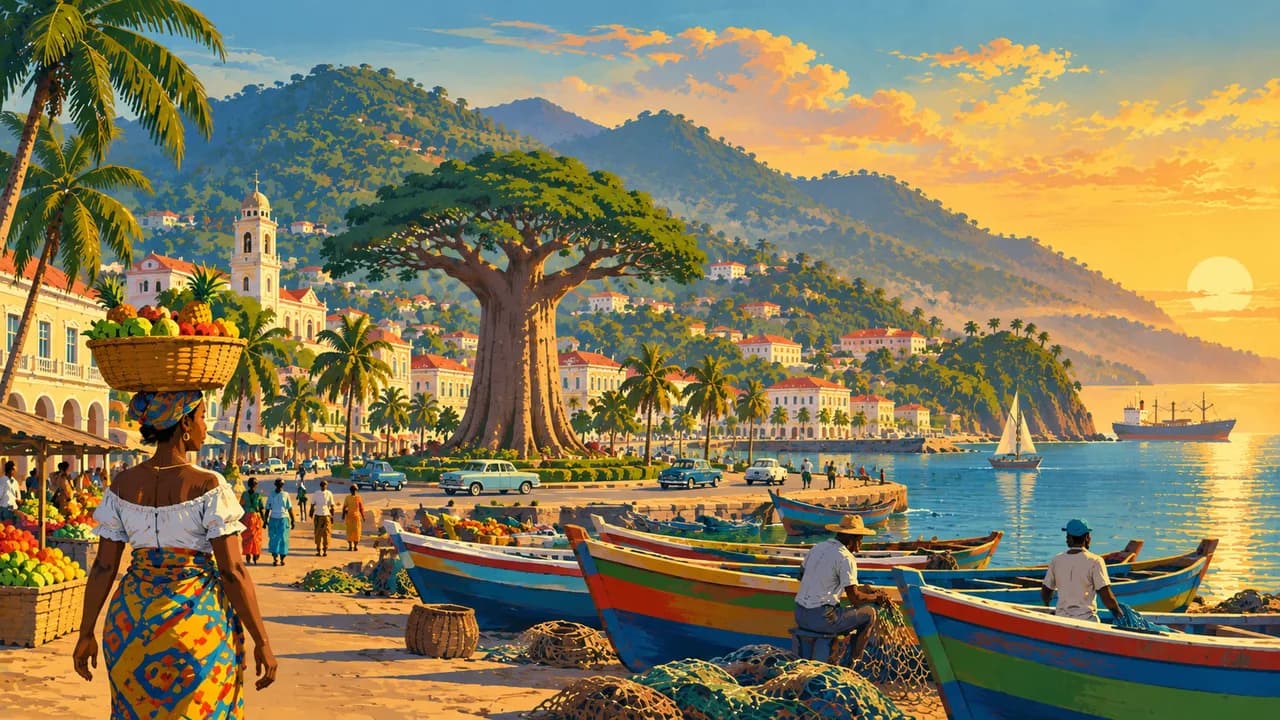
Sierra Leone combines Atlantic beaches, forested hills, river islands and inland farming landscapes. Freetown spreads above a natural harbour and preserves Krio architecture, markets and memories of settlement by formerly enslaved people. English is official, while Krio links many communities alongside Temne, Mende and other languages.
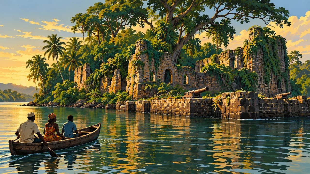
Bunce Island's trading-fort ruins bear witness to the transatlantic slave trade and deserve thoughtful remembrance. Present-day travel also requires preparation. The German Foreign Office highlights protests, violent crime, tensions around Yenga near Guinea and dangerous sea currents. Avoid night driving and check current regional guidance. Heavy rain can cause flooding, landslides and road closures.
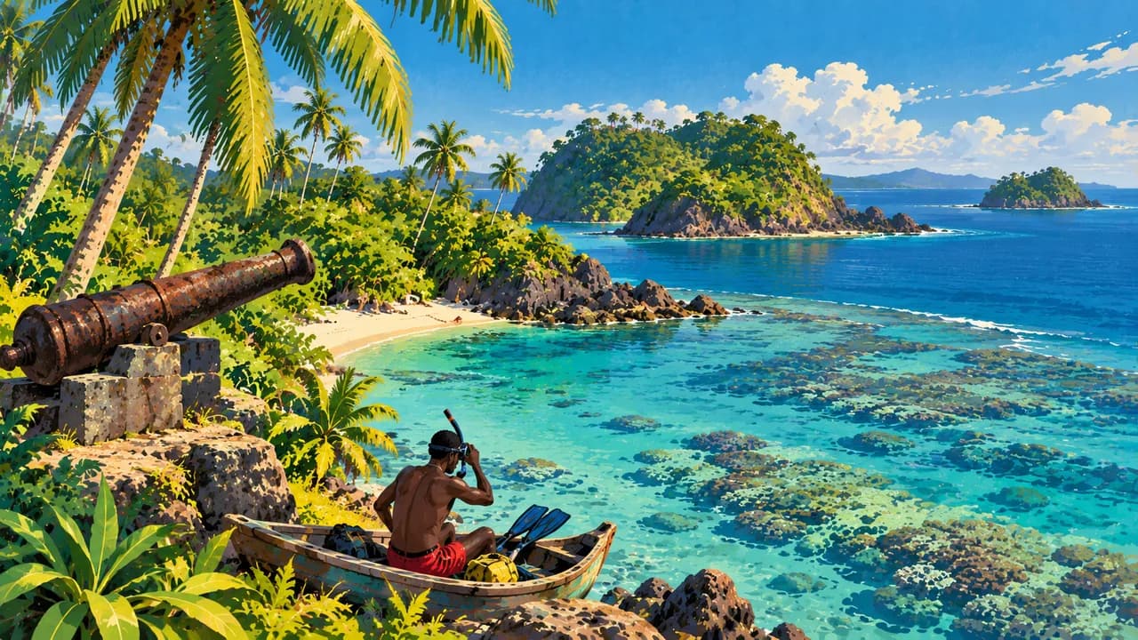
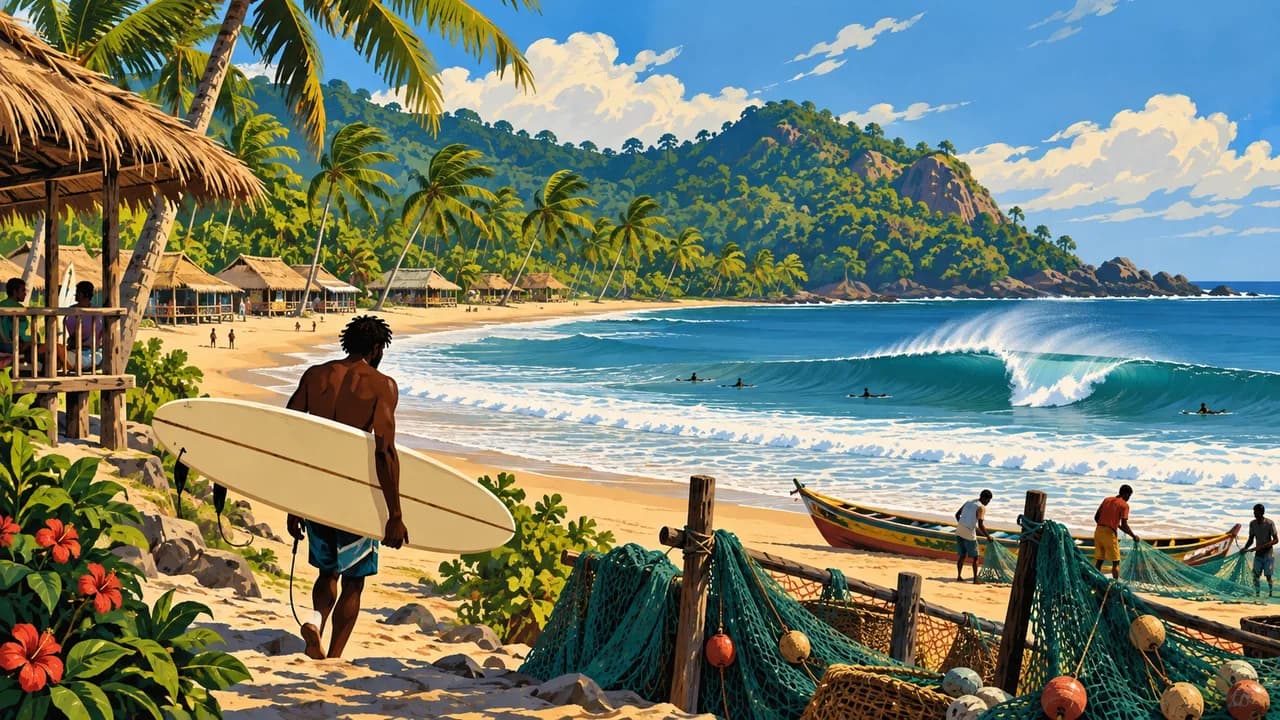
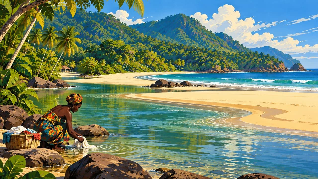
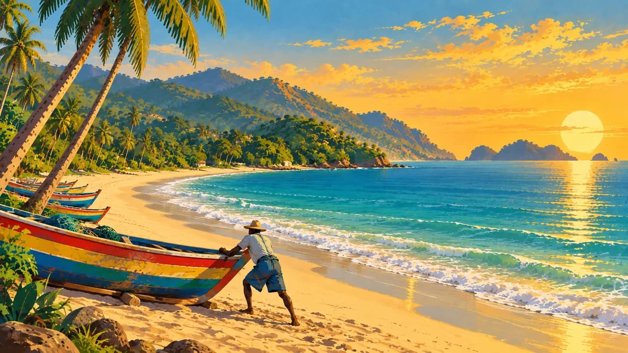
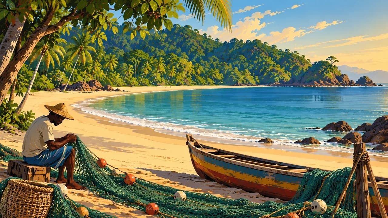
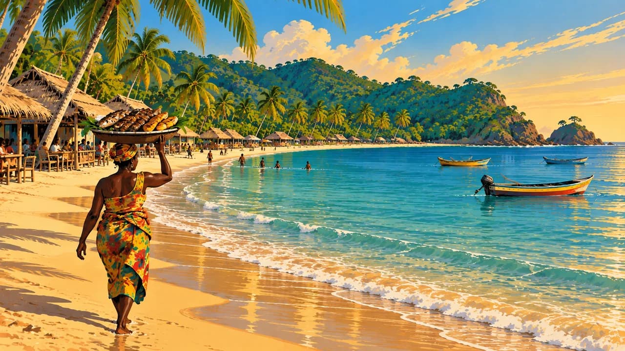
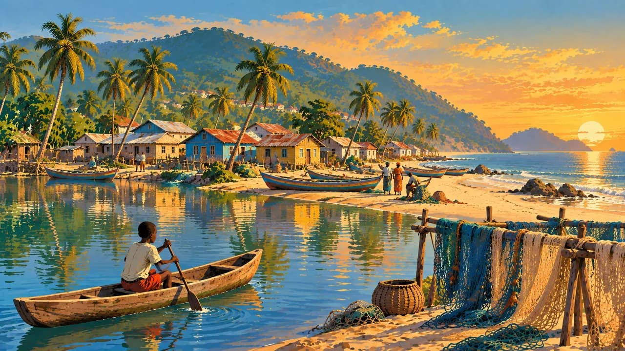
On the Freetown Peninsula, Lakka, Tokeh and John Obey offer different coastal settings alongside fishing communities. River Number Two combines an estuary, sandy shore and forested backdrop. Bureh Beach is associated with local surf culture. Kent is a fishing village and departure point for the Banana Islands, where wooded shores and historic remains complement the beach landscapes. Boat crossings depend on weather and local arrangements.
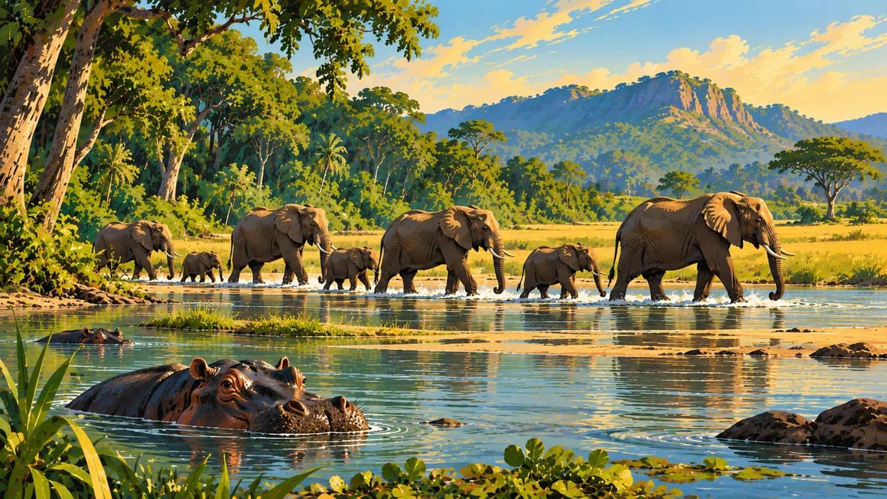
Tacugama near Freetown rehabilitates rescued chimpanzees and supports conservation. It is a sanctuary, not a promise of encounters with wild animals. In the northwest, Outamba-Kilimi combines savanna, woodland and river habitats. Makeni is a northern trading centre, while Bo and Kenema introduce inland markets, agriculture and regional urban life.
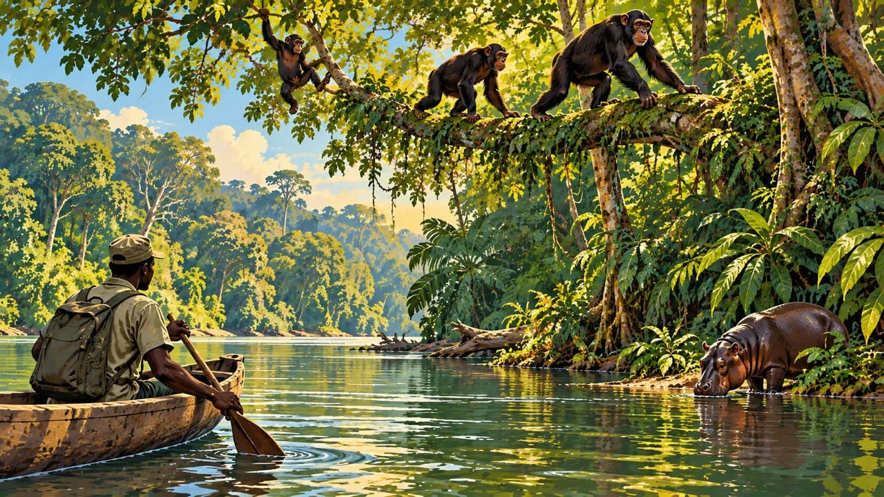
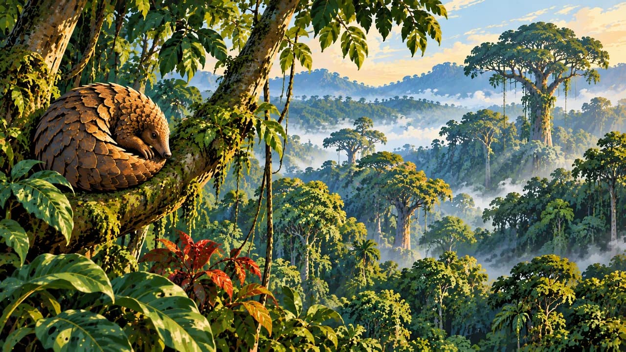
Tiwai Island in the Moa River and Gola Rainforest together form the UNESCO-listed Gola-Tiwai Complex, a natural World Heritage property. Their forests support primates, birds and threatened species including pygmy hippos, but sightings are not guaranteed. Bunce Island remains on the tentative list rather than being an inscribed cultural property. Respect community rules and wildlife viewing distances.
Rice, cassava-leaf stew, groundnut preparations and fish reflect varied regional kitchens. December to March is often drier, while rain broadly from May to November can restrict access. Tourism facilities and communications vary substantially outside Freetown. Confirm guides, boats and accommodation locally, and ask before photographing people or visiting sacred places.
AI edited
- 4 + 1
- Provinces and Western Area Four provinces, Eastern, Northern, North Western and Southern, plus Western Area form five first-level administrative regions. The climate cards are thematic groupings.
- ≈ 8.82 million
- Population Rounded UN projection for 2025 using the medium-fertility variant, 8.820 million. This dated estimate is not a new census.
- 72,300 km²
- Area Total surface area in the UN World Statistics Pocketbook 2025. Sierra Leone extends from Atlantic coastal plains and river estuaries to forested hills and inland farming landscapes.
- English
- Language English is the official language used in administration and education. It does not replace the country's many community languages. The flag here identifies the language.
- Krio, Temne, Mende
- Other languages Krio is a widely used lingua franca. Temne and Mende are examples of other spoken languages, alongside Limba, Kono and others. Language use varies by community and region.
- Leone
- Currency The Bank of Sierra Leone issues the leone (SLE, sign Le). One redenominated leone equals 1,000 old leones (SLL). Check which unit a price uses.
- D · G
- Socket types Electrical Safety First lists plug types D and G at 230 V and 50 Hz. Check local installation, earthing and appliance compatibility. An adaptor does not convert voltage or frequency.
- Freetown
- Capital Freetown is the capital on a hilly peninsula above a large natural harbour. Lungi airport lies across the estuary. Confirm transfer arrangements separately. The clock displays the capital's local time.
- Right-hand traffic
- Driving side Traffic drives on the right. Avoid driving after dark. Many roads outside the main corridors are poor, and heavy rain can cause closures. Check current regional advice and local conditions.
- UTC+0
- Time zone Greenwich Mean Time throughout the year, without seasonal clock changes. The clock uses Africa/Freetown.
Sierra Leone on the map

Map data: geoBoundaries (CC BY 4.0), © OpenStreetMap contributors (ODbL), Natural Earth
Climate and best time to travel
December to March is often drier, with increasing inland heat later in the season. Heavy rain broadly from May to November can cause floods, landslides and road closures. Forest trails and boat transfers depend on local conditions. The month chips are broad climate windows, not a guarantee of access, calm seas, surf conditions or wildlife sightings. The German Foreign Office highlights protest risks, violent crime and border tensions around Yenga near Guinea. Avoid night driving and check current regional guidance. Strong currents can make beaches and estuaries dangerous. Confirm guides, sanctuary visits, boats and accommodation locally. Protected status and UNESCO inscription do not establish safe access. Tacugama prioritises rescued chimpanzees and does not guarantee sightings.
Destinations in Sierra Leone
 AI generated
 AI generated
 AI generated
 AI generated
 AI generated
 AI generated
 AI generated
 AI generated
 AI generated
 AI generated
 AI generated
 AI generated