Mauritania
موريتانيا
Atlantic shores, broad deserts and green oases meet caravan heritage, manuscripts and diverse everyday cultures.
Worth coming back!
Wanderlama keeps growing with new destinations, helpful information and exciting features. Check back soon and discover what is new!
Travel to Mauritania
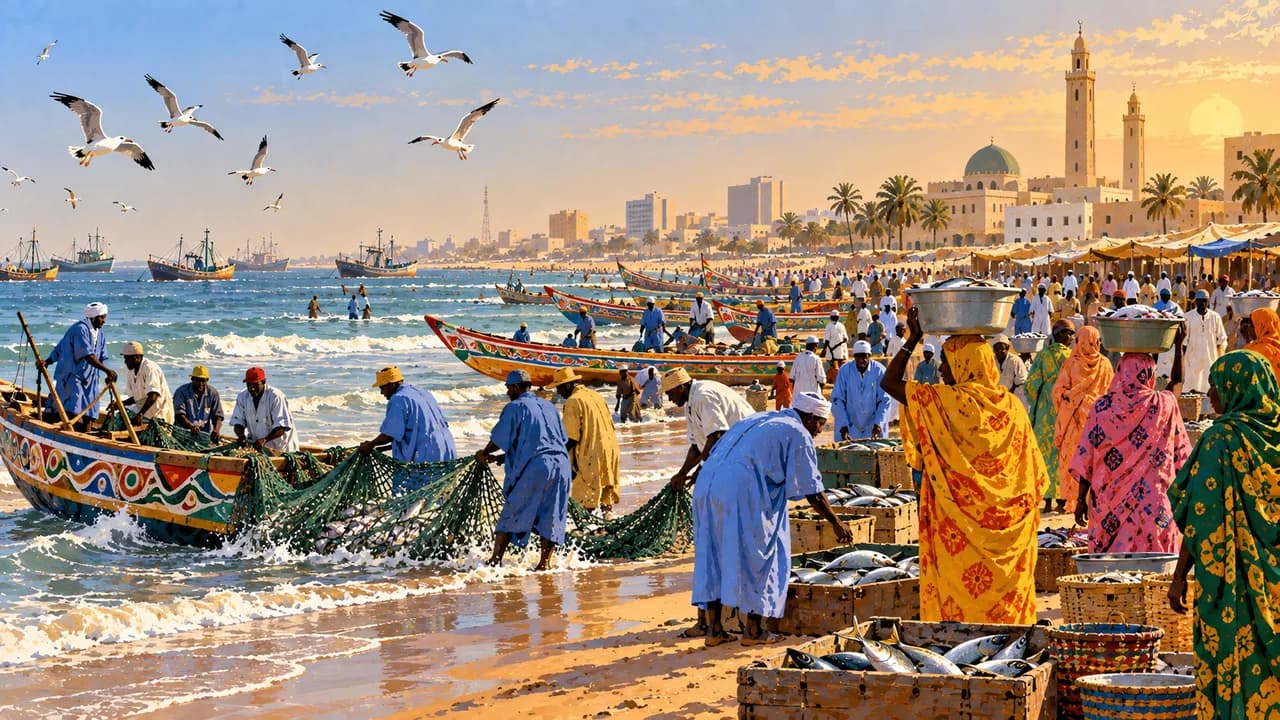
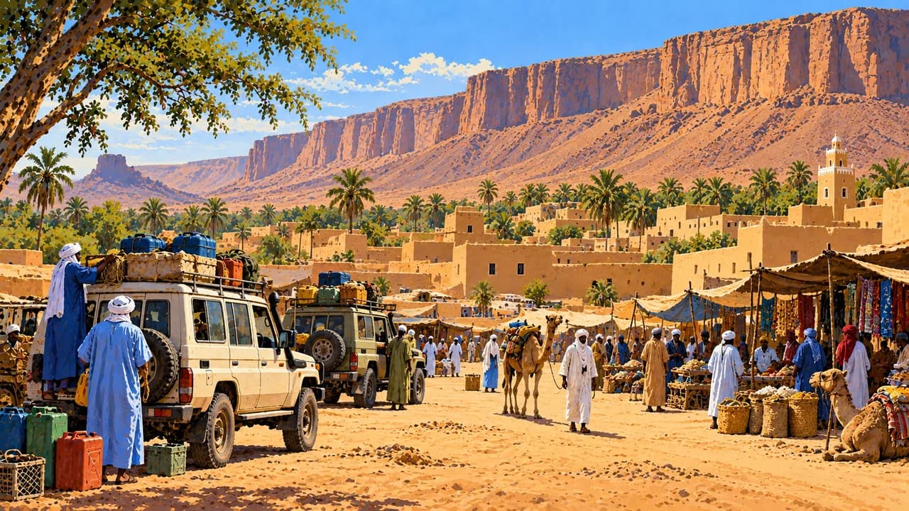
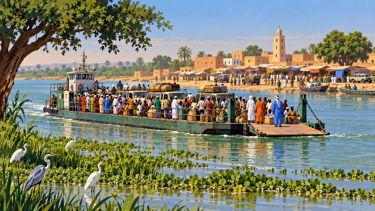
Mauritania links the Atlantic coast, Saharan plateaux and dunes with the Senegal River valley. The capital Nouakchott combines expanding urban neighbourhoods, markets and a busy fishing shore. Rosso, on the Senegal River, reflects southern river trade and cross-border connections. Hassaniya Arabic, Pulaar, Soninke and Wolof express the country's varied cultural identities.
The German Foreign Office warns against travel immediately along the Algerian and Malian borders and strongly advises against remote Saharan travel, including areas north of Zouérate and east or northeast of Ouadane. It advises against unaccompanied travel to Oualata and desert areas east of Tidjikja, including Tichitt, without security planning agreed with local authorities. Current official advice, restricted zones and supply conditions must guide decisions. Avoid night driving.
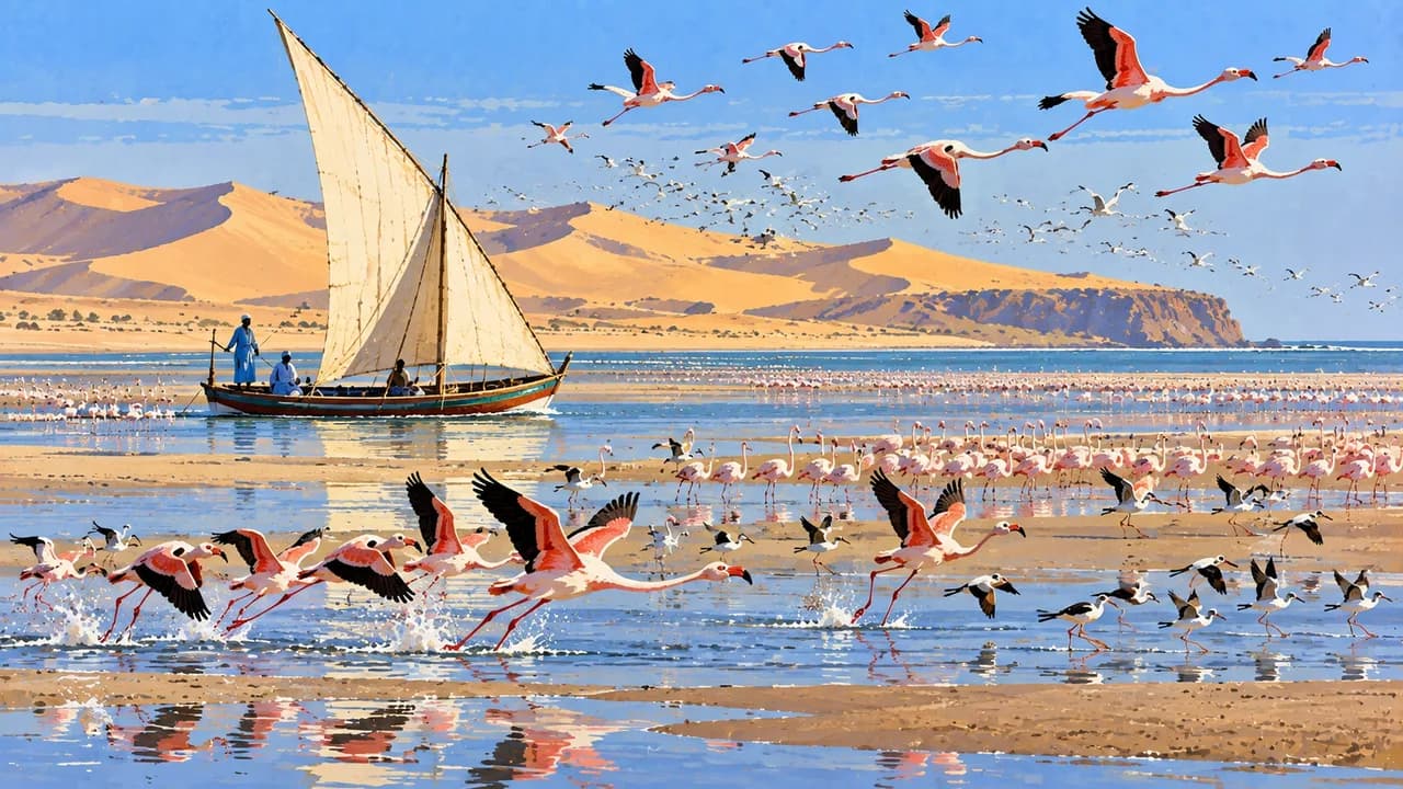
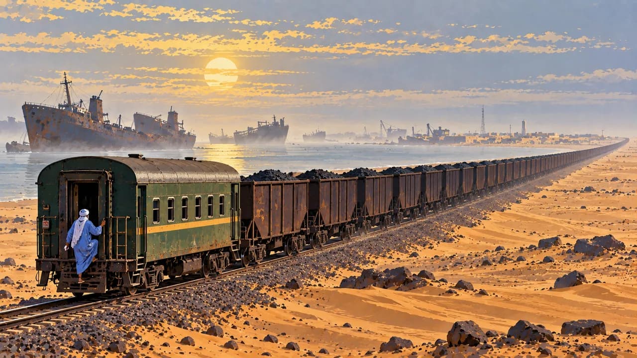
On the coast, UNESCO-listed Banc d'Arguin National Park protects tidal flats, islands and important migratory-bird habitats alongside Imraguen fishing traditions. Nouadhibou is a fishing and ore-export port. Its railway connects coastal industry with inland mines. SNIM prohibits riding in ore wagons and directs passengers to designated carriages. Wildlife sightings and park access are not guaranteed.
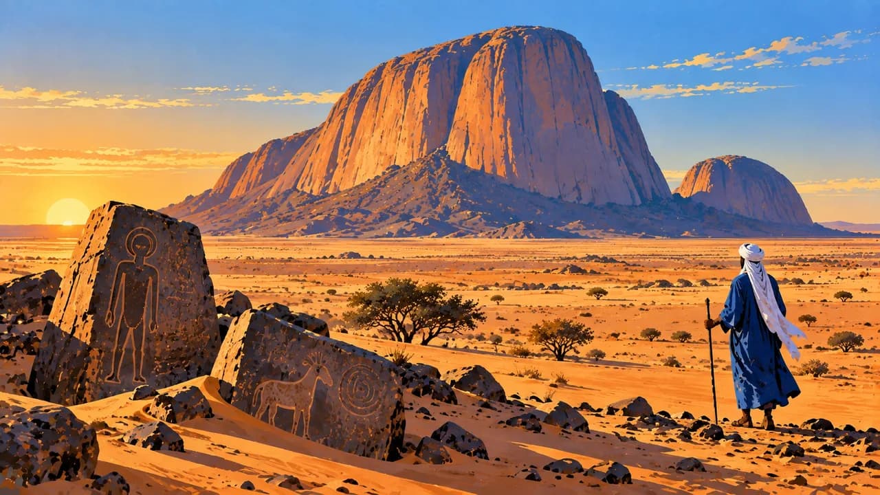
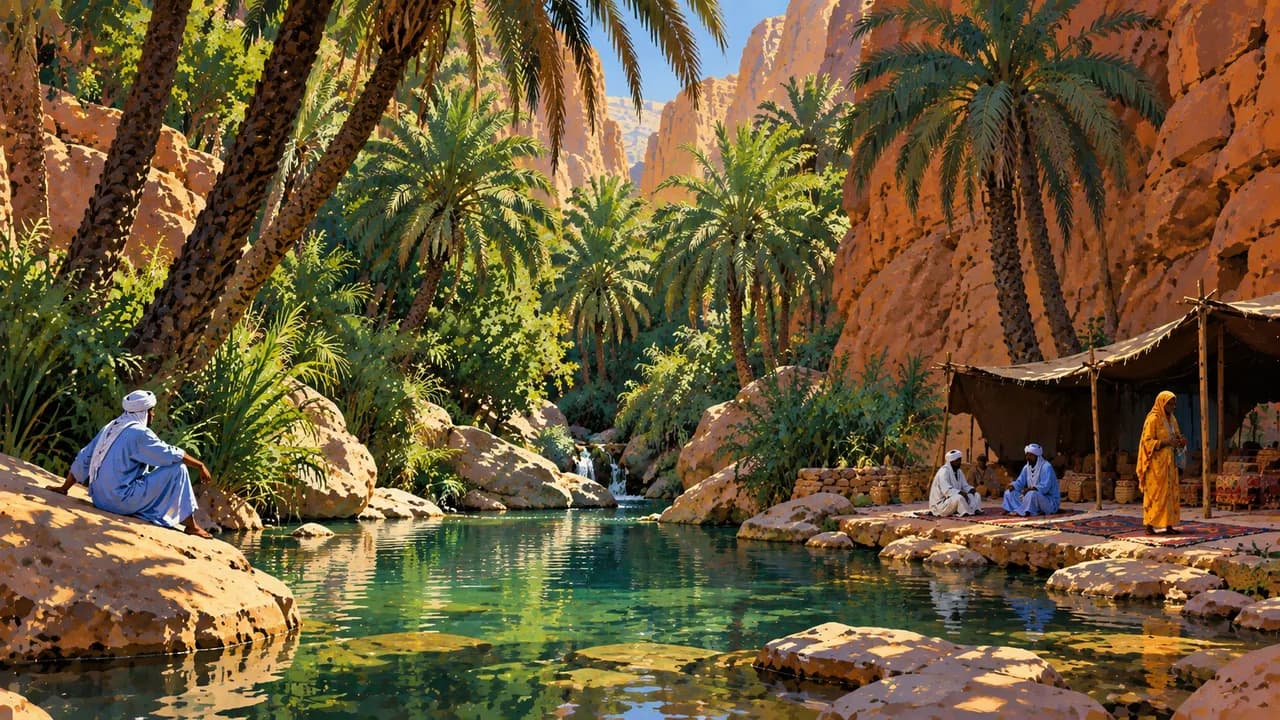
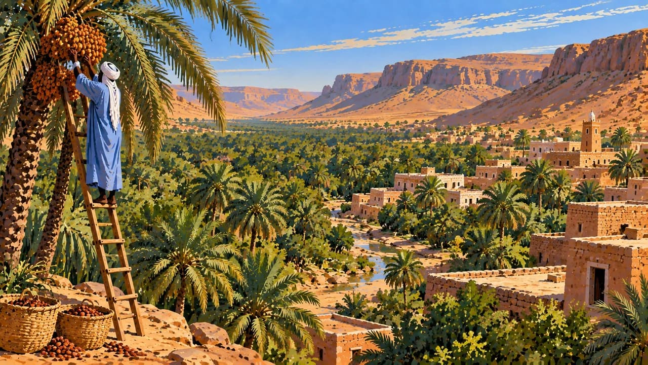
Atar is an urban centre of the Adrar, surrounded by rocky plateaux and desert landscapes. Terjit contrasts palm groves and springs with dry terrain. Ben Amera is a striking isolated rock formation. The concentric Richat Structure is much easier to recognise from above than from the ground. Tidjikja brings together Tagant's palm cultivation, markets and caravan history.
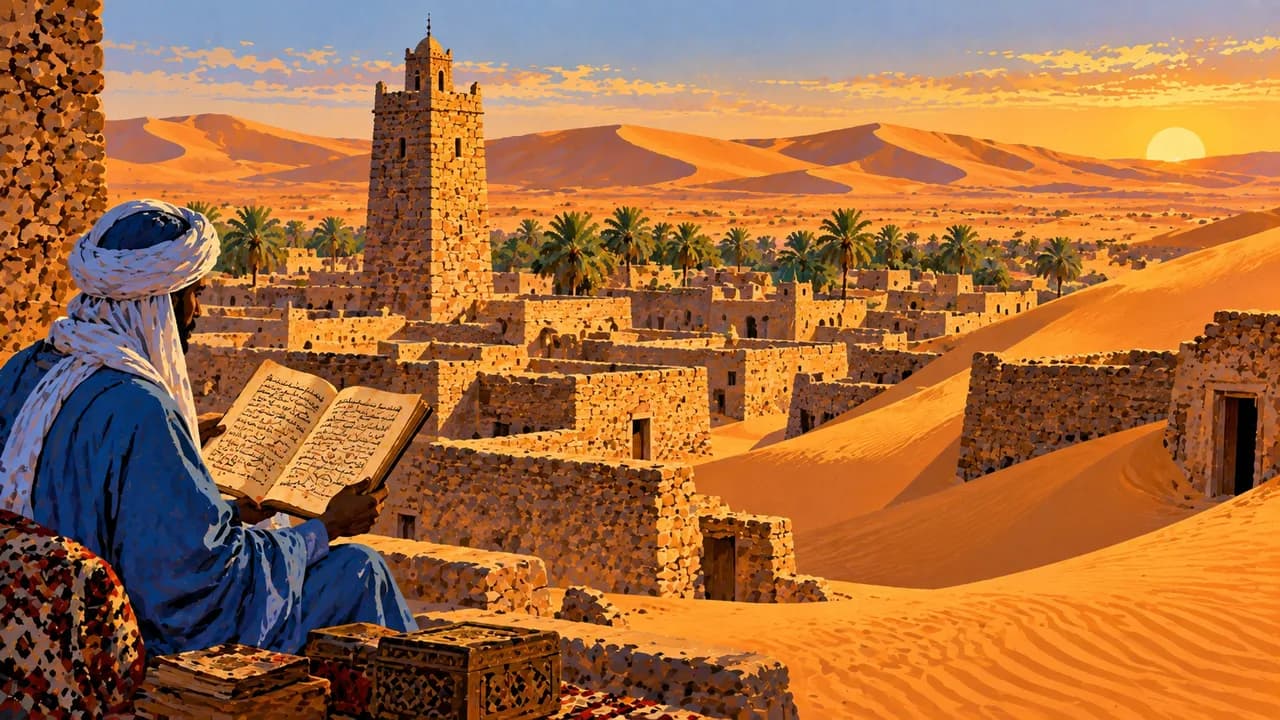
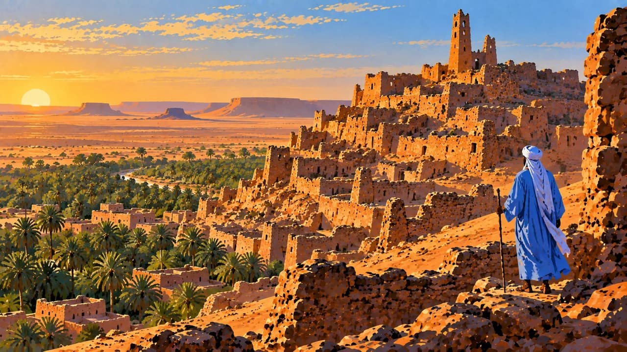
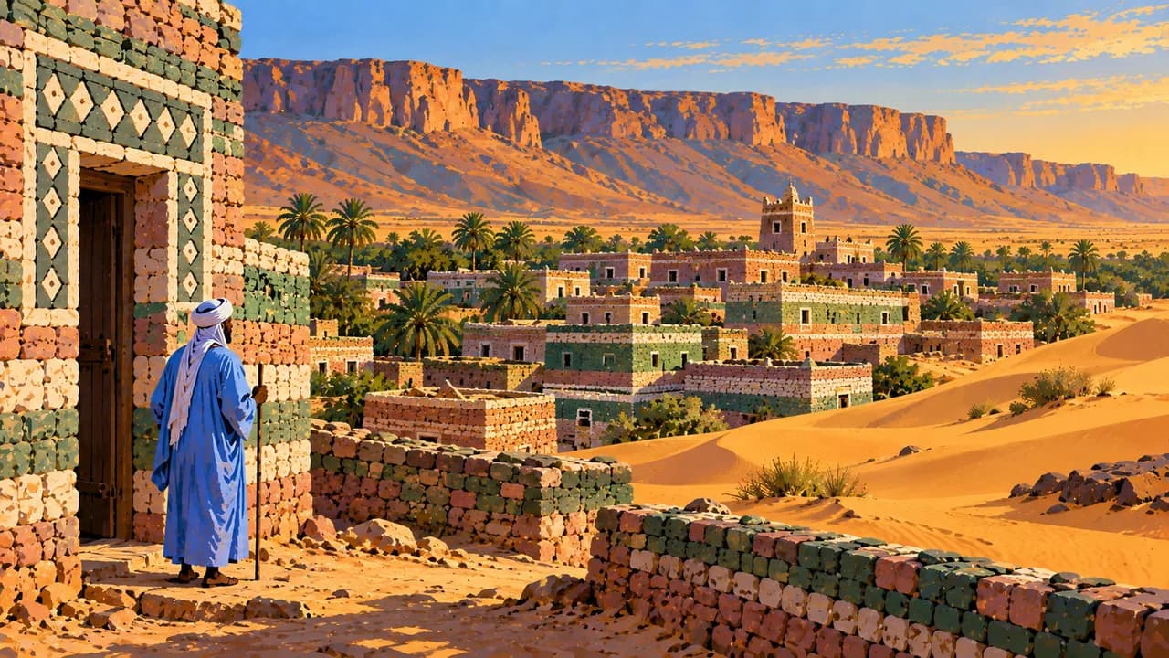
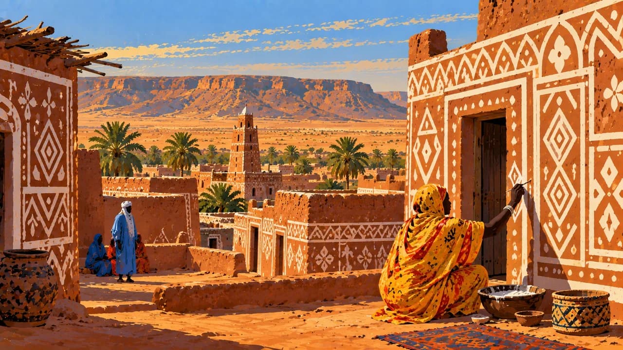
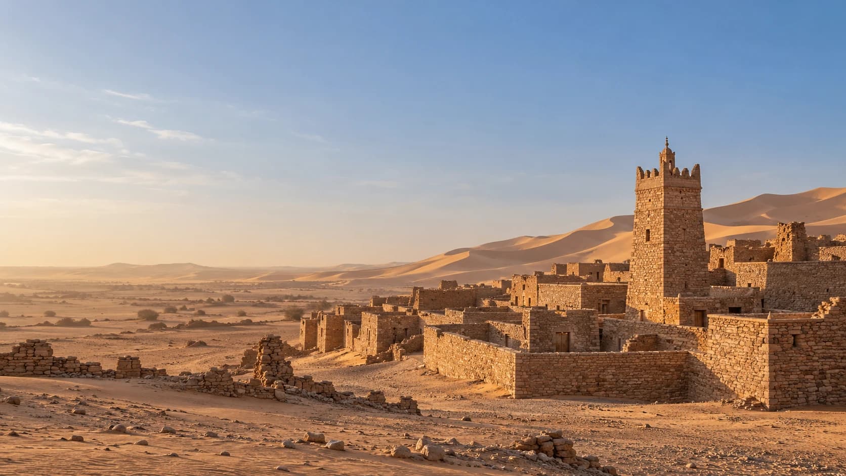
Chinguetti, Ouadane, Tichitt and Oualata together form one UNESCO cultural World Heritage property. Their stone settlements, mosques and manuscript traditions recall trans-Saharan exchange and Islamic learning. Libraries and sacred spaces remain community heritage, requiring permission for access and photography.
Food includes fish, rice, meat and several kinds of couscous, with dates and tea central to hospitality. Respect Islamic customs and local routines. Extreme heat, dust and scarce water shape desert conditions. Rain from July into early October can flood southern areas and inland tracks. Cooler weather does not ensure safe access.
AI edited
- 15
- Wilayas Mauritania has fifteen wilayas, including Nouakchott's three administrative units. The thematic climate-card groupings are not administrative divisions.
- ≈ 5.32 million
- Population Rounded UN projection for 2025 using the medium-fertility variant, 5.315 million. It is distinct from the national 2023 census.
- 1,030,700 km²
- Area Total surface area in the UN World Statistics Pocketbook 2025. Mauritania includes Atlantic coast, Saharan deserts and southern Sahel landscapes.
- Arabic
- Language Arabic is the official language under Article 6 of the constitution. The Mauritanian flag here represents the country, without suggesting that everyone speaks the same language.
- Hassaniya, Pulaar, Soninke, Wolof
- Other languages Hassaniya is a widely spoken Arabic variety. Pulaar, Soninke and Wolof are national languages alongside Arabic. French is also used. Language use varies between communities and regions.
- Ouguiya
- Currency The currency is the ouguiya, code MRU, abbreviation UM. Since 2018 one new ouguiya equals ten old ouguiyas (MRO). Check the unit in older prices.
- C
- Socket type Electrical Safety First lists plug type C, with 220 V at 50 Hz. Check the local installation, appliance compatibility and adapters before use. A travel adapter does not convert voltage or frequency.
- Nouakchott
- Capital Nouakchott is the capital on the Atlantic coast and a major administrative, trading and fishing centre. The clock shows the capital's local time.
- Right-hand traffic
- Driving side Traffic drives on the right. Drifting sand, animals, damaged roads and unlit vehicles increase accident risks. Avoid night driving. Check current driving restrictions and fuel availability beforehand.
- UTC±0
- Time zone Greenwich Mean Time throughout the year without seasonal clock changes. The clock uses Africa/Nouakchott.
- 1
- UNESCO cultural site The ancient ksour of Ouadane, Chinguetti, Tichitt and Oualata together form one serial UNESCO cultural World Heritage property. Banc d'Arguin is an additional natural property, excluded here. Heritage status does not guarantee access.
Mauritania on the map

Map data: geoBoundaries (CC BY 4.0), © OpenStreetMap contributors (ODbL), Natural Earth
Climate and best time to travel
Mauritania mainly has a dry, hot desert climate. November to February is often less hot inland, although nights can be distinctly cool. Wind and the ocean influence coastal conditions. Dust, sand and scarce water remain important. Rain from July into early October can cause flooding in the south and also in Adrar and Tagant, interrupting tracks. The month cards describe broad climate windows, not guaranteed access or recommendations to travel. The German Foreign Office warns against travel immediately along the Algerian and Malian borders. It strongly advises against remote Saharan travel, particularly north of Zouérate and east or northeast of Ouadane. It advises against unaccompanied journeys to Oualata and desert areas east of Tidjikja, including Tichitt, without a plan agreed with security authorities. Observe restricted zones, fuel conditions and current driving restrictions. Avoid night driving. Park visits require local arrangements. Bird sightings are not guaranteed, and prohibited rides on ore wagons are not a visitor activity.