Liberia
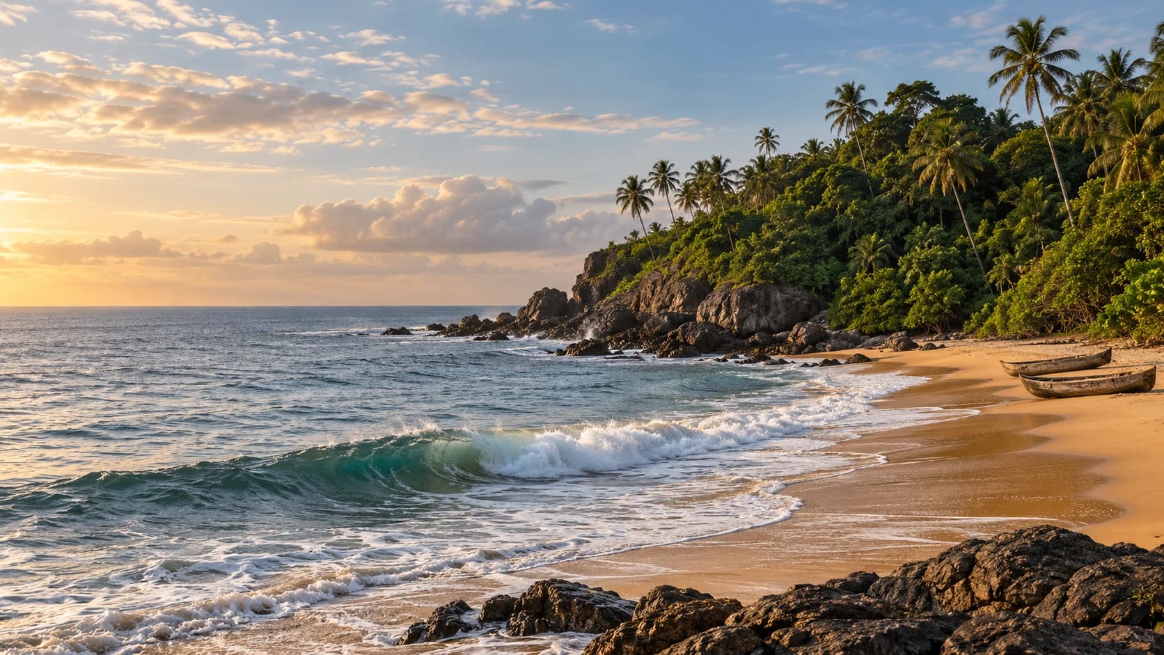
Surf coasts, mangrove channels and extensive rainforest meet lively markets, diverse communities and a complex history.
Worth coming back!
Wanderlama keeps growing with new destinations, helpful information and exciting features. Check back soon and discover what is new!
Travel to Liberia
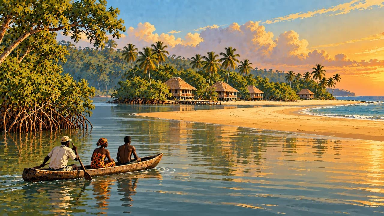
Liberia combines Atlantic beaches and mangrove estuaries with Upper Guinean rainforest, farming landscapes and northern uplands. English is official, alongside many Liberian languages. The republic emerged from settlements of free and formerly enslaved Black people from the Americas, on land already inhabited by diverse African communities. This history includes unequal relations and remains central to national memory.
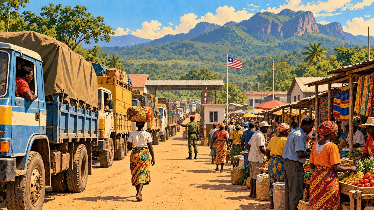
Travel requires current local advice. Crime and demonstrations can disrupt city visits, while remote journeys need reliable arrangements. Avoid night travel and check road conditions before departure. Heavy rain can isolate communities, and dangerous surf limits swimming. Protected areas and border routes require particular attention to local guidance and restrictions.
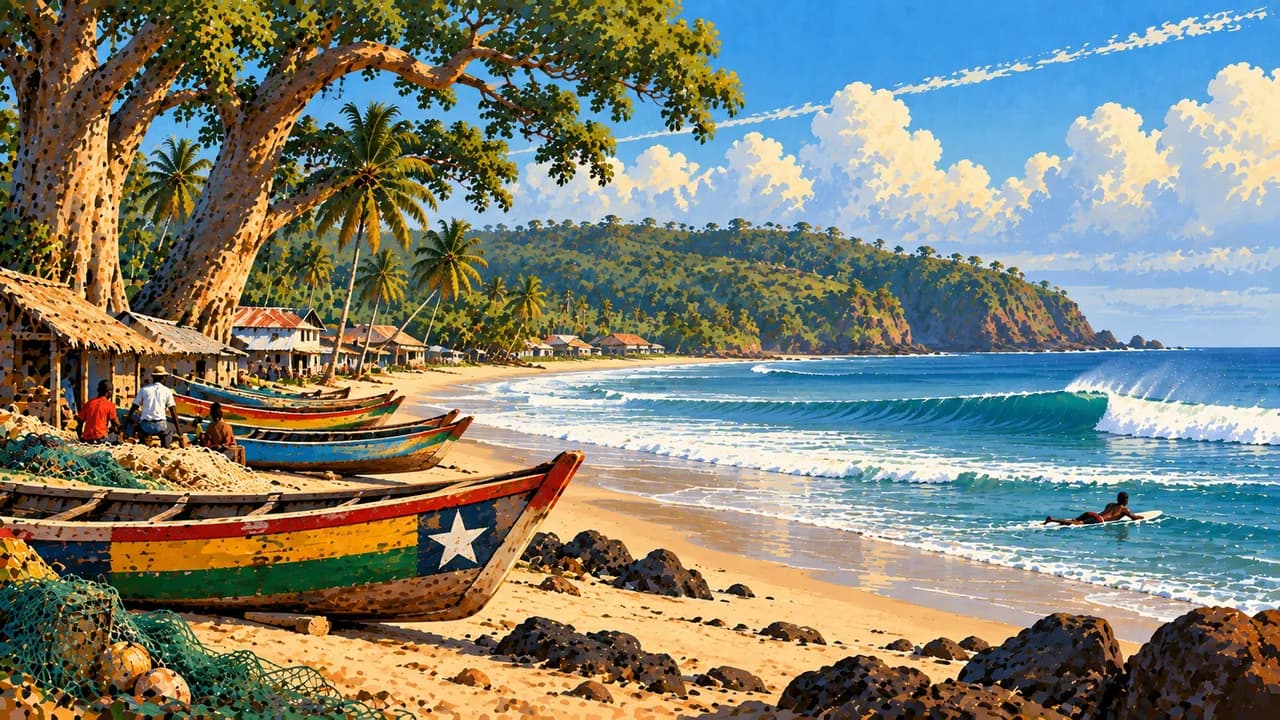
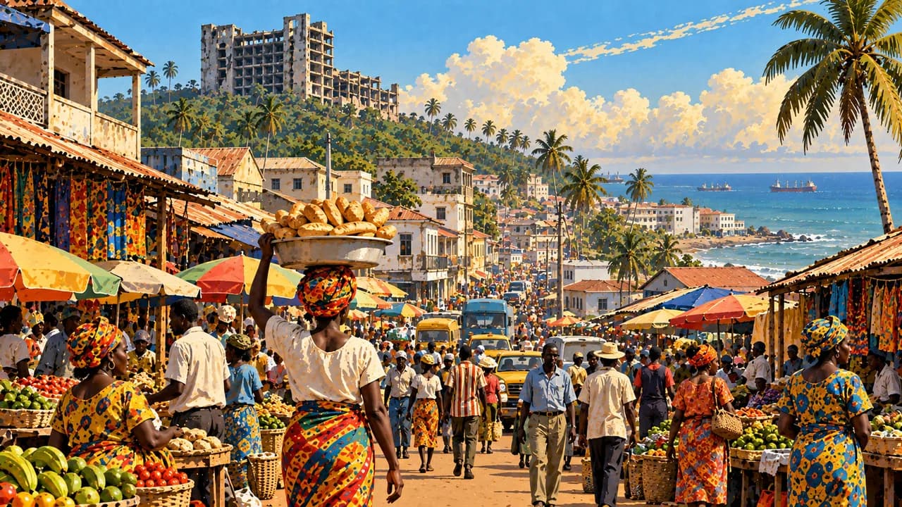
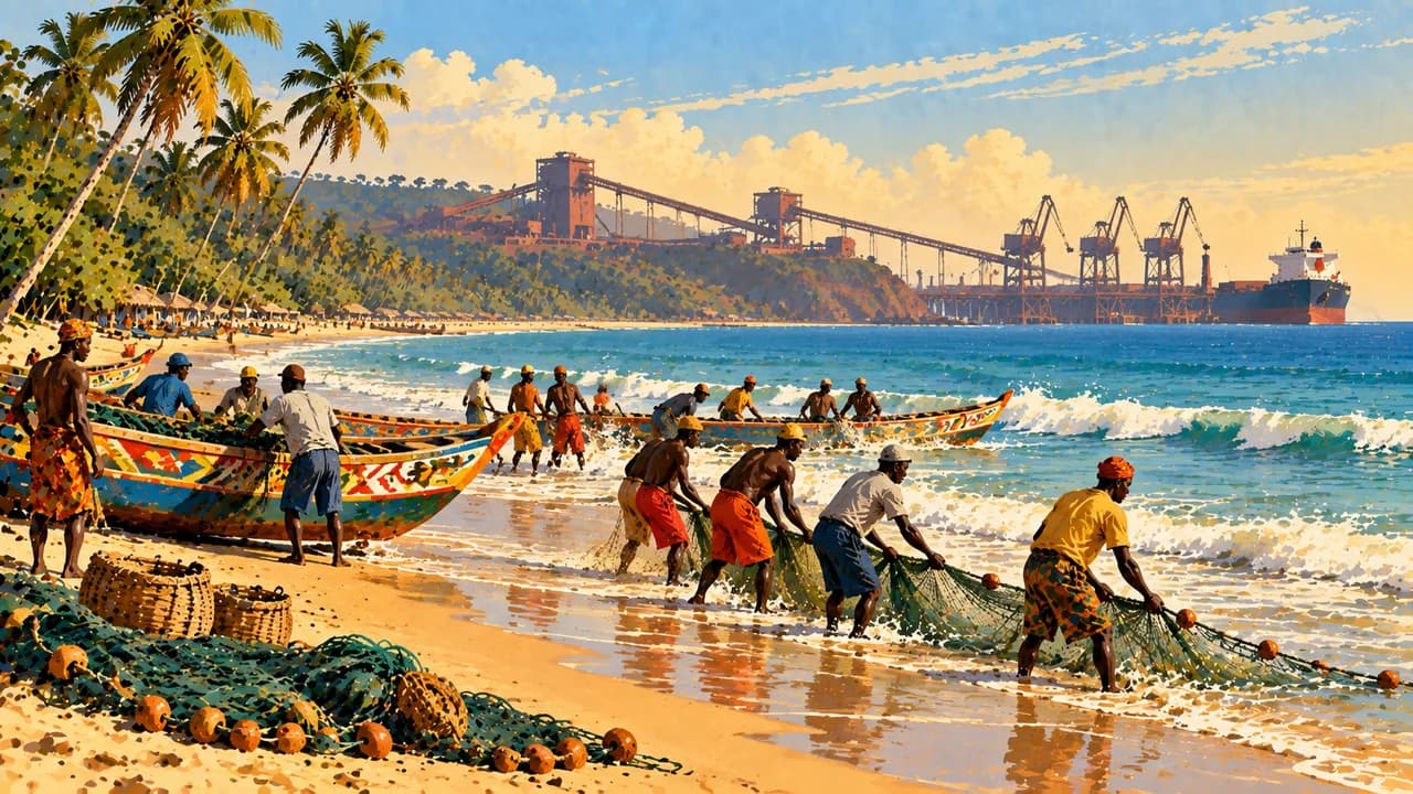
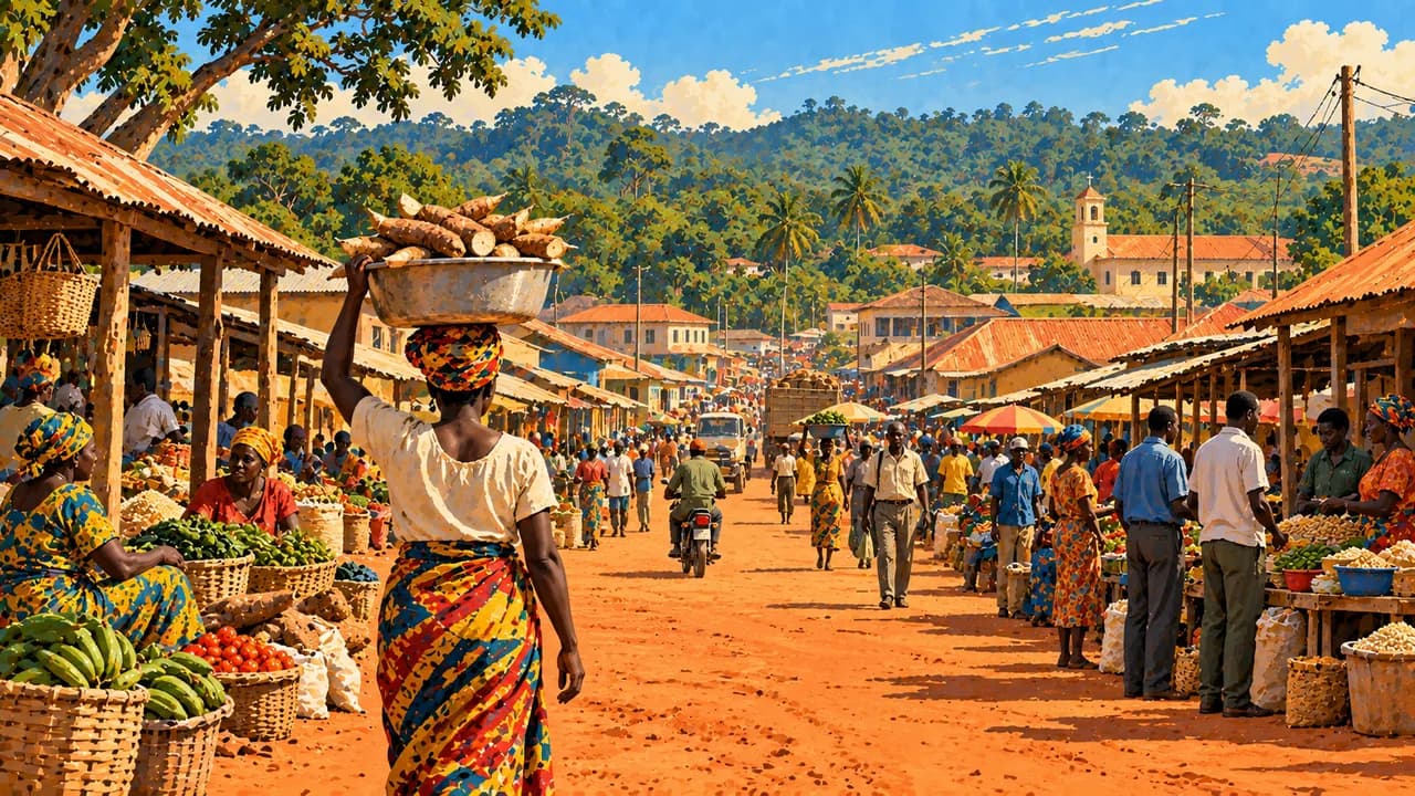
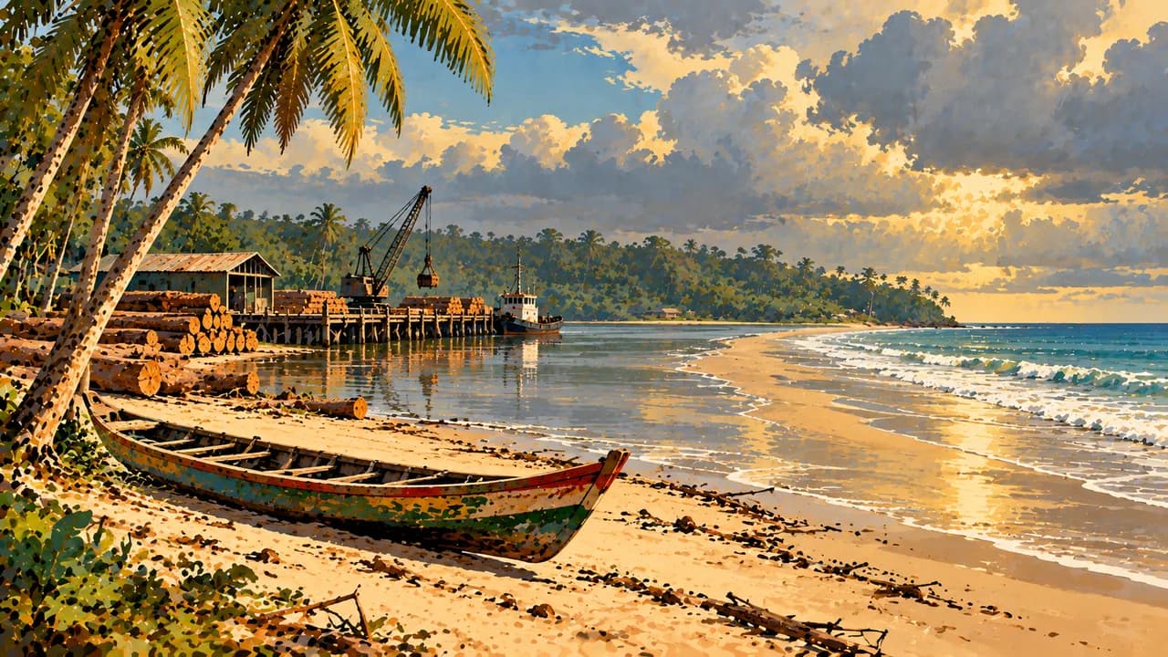
Monrovia, the capital, combines busy markets, cultural institutions and Atlantic waterfronts. Providence Island recalls settlement history and its wider Atlantic connections. Robertsport brings together surf beaches, fishing communities and Lake Piso’s coastal landscape. Marshall and Libassa add wetlands, forest and beach settings, while Buchanan combines a working port with broad sandy shores.
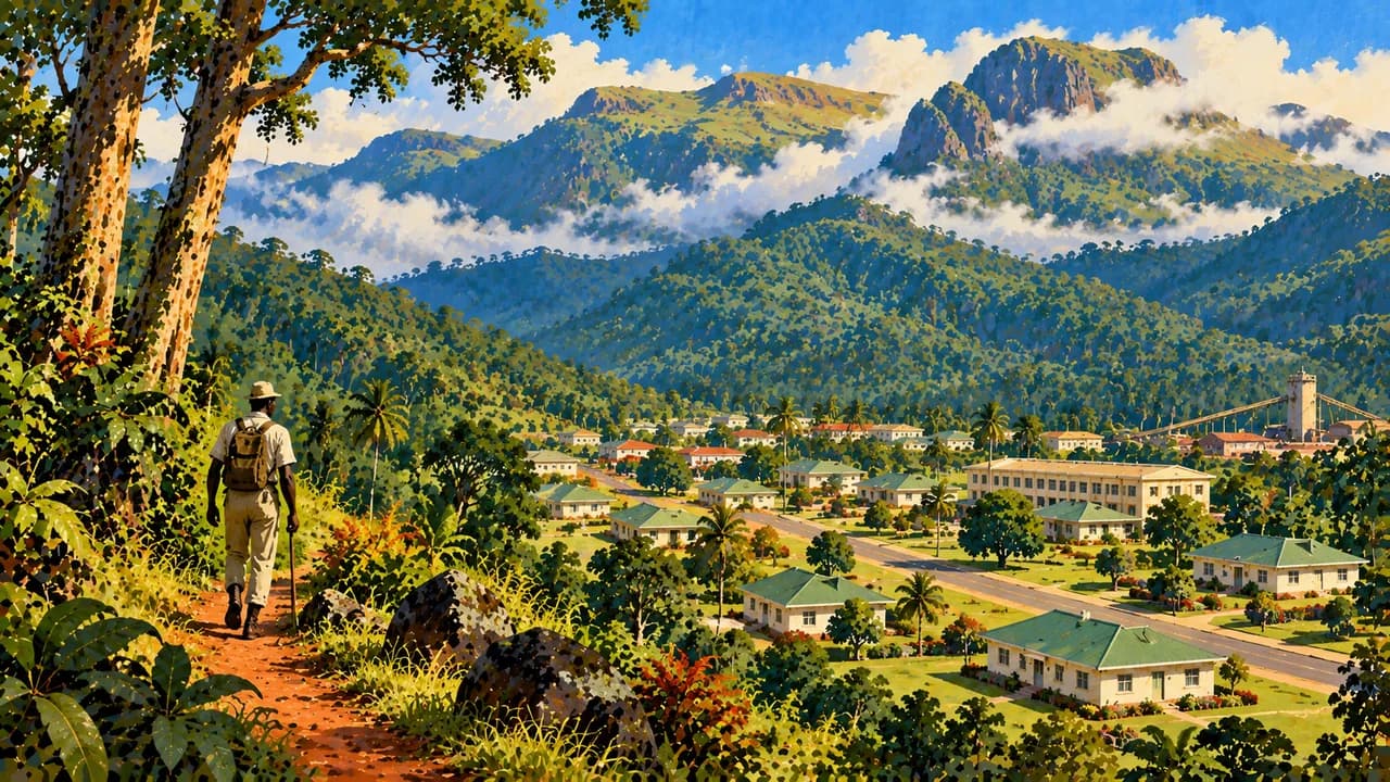
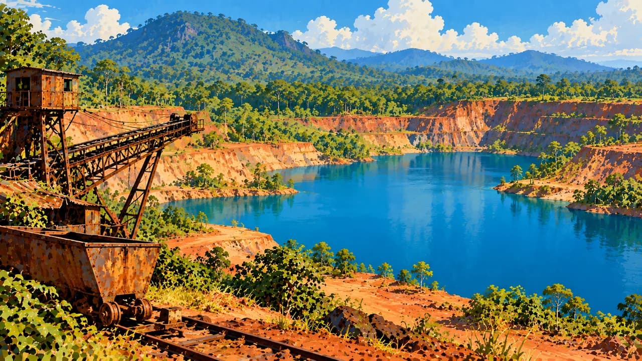
Near Tubmanburg, Blue Lake occupies a former iron-mining landscape. Gbarnga is a regional market centre amid Bong County’s farming and forest landscapes. Ganta is an important trading town in Nimba County. Yekepa links mining history with the Nimba foothills and East Nimba Nature Reserve. This reserve is distinct from the UNESCO property in neighbouring Guinea and Côte d’Ivoire.
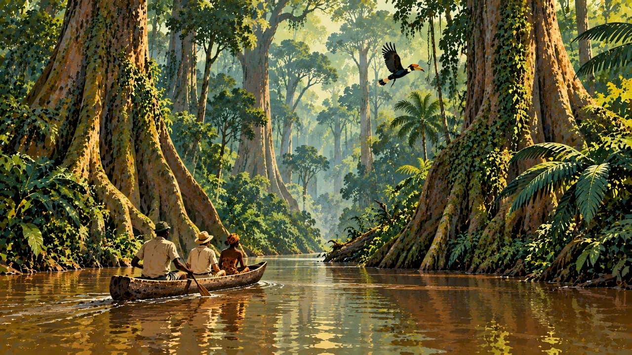
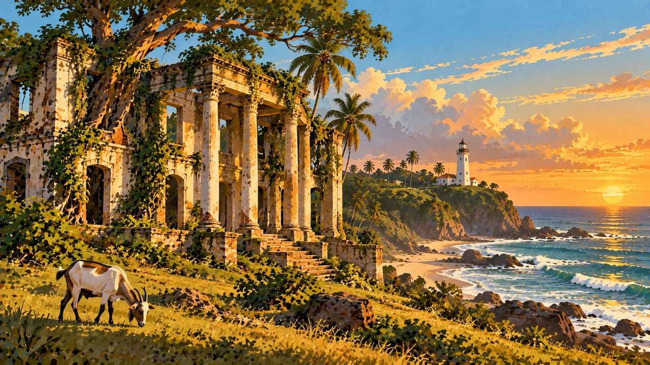
Greenville introduces the southeastern coast and Sinoe’s forest hinterland. Sapo National Park protects rainforest habitat for forest elephants, western chimpanzees and pygmy hippos. Community knowledge and conservation management matter here, and wildlife sightings are not guaranteed. Farther southeast, Harper retains traces of settler architecture and maritime history amid a living coastal town.
Rice with palm-fruit, cassava-leaf or groundnut sauces, fish and pounded cassava preparations such as dumboy express regional cooking. Music, dance and crafts reflect varied communities. Rainfall is especially disruptive from roughly mid-May to late November. Drier months do not remove access constraints. Respect community consent, sacred places and photography rules.
AI edited
- 15
- Counties Liberia has fifteen counties. These administrative units differ from the thematic climate-card groupings.
- ≈ 5.73 million
- Population Rounded UN projection for 2025 using the medium-fertility variant, 5.731 million. This dated estimate is not a new census.
- 111,369 km²
- Area Surface area in the UN World Statistics Pocketbook 2025 with a 2023 reference year. Water areas are included, while land area alone is smaller.
- English
- Language English is the official language. Liberian varieties and numerous other languages shape everyday life.
- Kpelle, Bassa, Grebo and Dan
- Other languages Examples of Liberian languages. Dan is also called Gio. Further community languages include Vai and Loma. This is not an exhaustive list.
- Liberian dollar · US dollar
- Currency The Liberian dollar (LRD, L$) is the national currency. According to the central bank, the US dollar (USD, US$) is also legal tender. Clarify the currency and change before paying.
- A · B
- Socket types Electrical Safety First lists plug types A and B, with 120 V at 60 Hz. Local supplies and installations may differ. Check voltage, frequency, grounding, appliance compatibility and adapters with your accommodation before use.
- Monrovia
- Capital Monrovia is the capital and a major coastal administrative, trading and cultural centre. The clock shows Monrovia local time.
- Right-hand traffic
- Driving side Traffic drives on the right. Road damage, limited lighting and seasonal flooding complicate journeys. Avoid driving after dark and check road conditions beforehand.
- UTC±0
- Time zone Greenwich Mean Time throughout the year without seasonal clock changes. The clock uses Africa/Monrovia.
Liberia on the map

Map data: geoBoundaries (CC BY 4.0), © OpenStreetMap contributors (ODbL), Natural Earth
Climate and best time to travel
Liberia has a hot, humid tropical climate. From roughly mid-May to late November, heavy rain can make roads and crossings impassable. December to March is a conservative drier-weather window, although rainforest showers remain possible. The drier season can also bring Harmattan dust. The cards refer to general travel conditions, not guaranteed surfing quality. Suitable waves depend on swell, wind and local experience and can also occur during the rainy season. Surf and currents are dangerous. Remote forest areas require reliable arrangements with protected-area managers and local guides. Reserve status guarantees neither unrestricted entry nor wildlife sightings. Crime, protests and short-notice restrictions can affect travel. Avoid night journeys and follow current official and local advice, particularly on border routes. Month windows are broad climate guidance and guarantee neither weather, access nor safe connections.