Guinea
Guinée
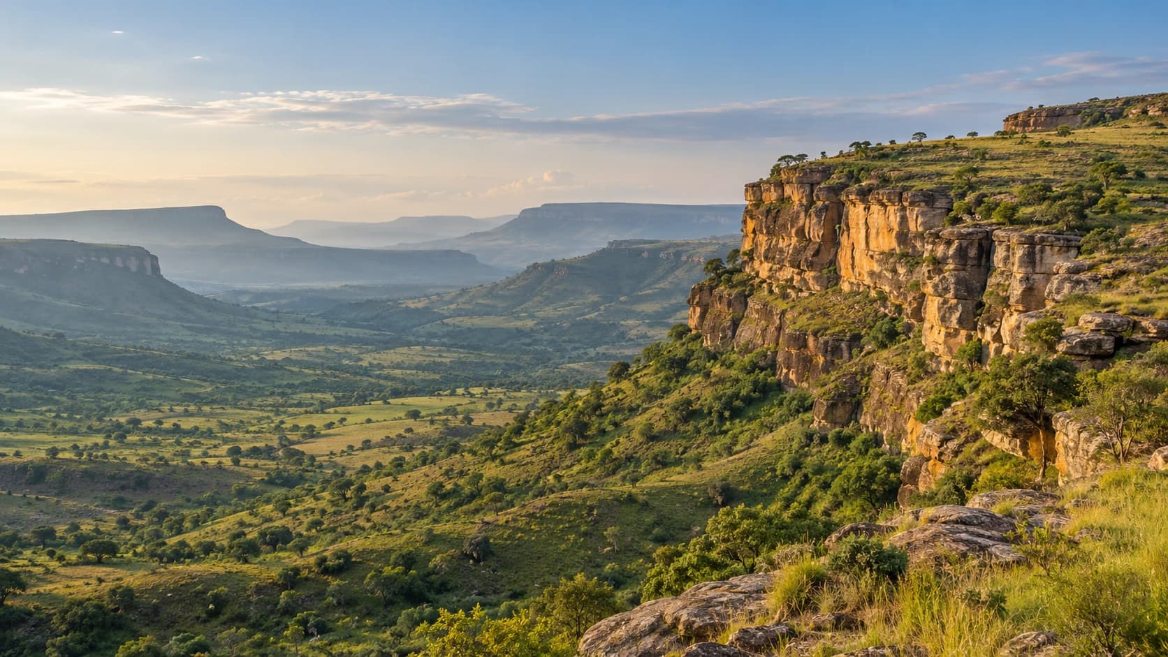
Mangrove coasts, green highlands and open savannas meet living musical traditions and diverse everyday cultures.
Worth coming back!
Wanderlama keeps growing with new destinations, helpful information and exciting features. Check back soon and discover what is new!
Travel to Guinea
Guinea extends from Atlantic mangrove shores through the Fouta Djallon highlands to Upper Guinea’s savannas and the humid southeast. Its uplands feed major West African rivers, including the Niger, Senegal and Gambia. French is official, while Pular, Maninka, Susu and other languages reflect varied regional identities. Farming, markets and living musical traditions connect these different landscapes.
Travel requires current local advice. Germany’s Foreign Office advises against the Mali border regions and the districts of Mandiana and Siguiri without particular local knowledge or prior consultation with local security authorities. Protests, checkpoints and roadblocks can affect Conakry and inland travel. Southern border areas also face tensions. Avoid demonstrations and check conditions before choosing routes.
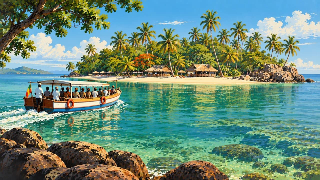
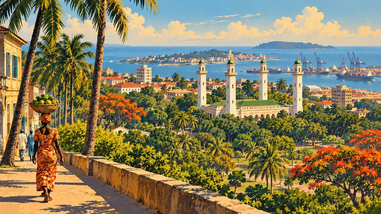
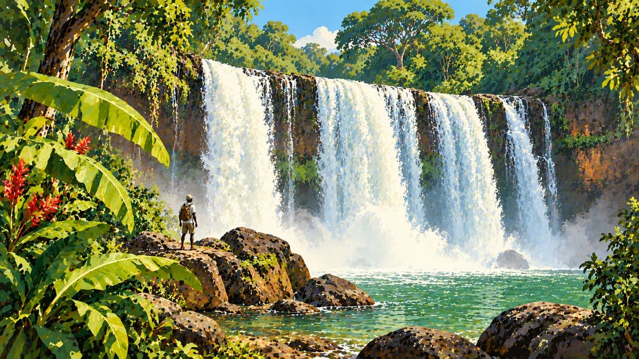
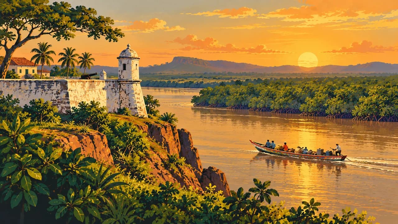
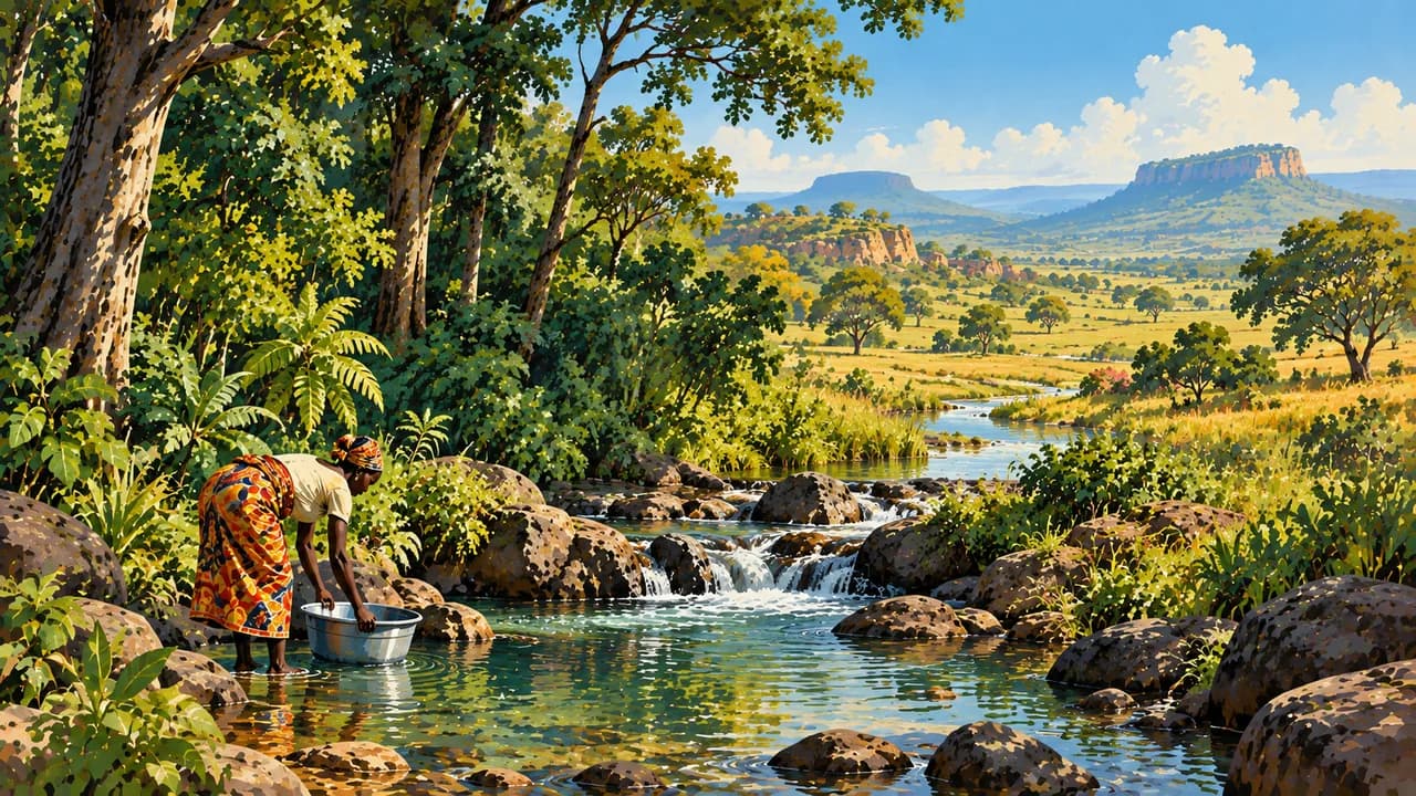
Conakry, the capital, combines markets, cultural institutions and coastal life. The nearby Loos Islands add inhabited island landscapes and fishing communities. Boké connects regional trade and mining with historical traces of enslavement and colonial rule. Around Kindia, wooded hills and waterfalls mark the transition towards the interior.
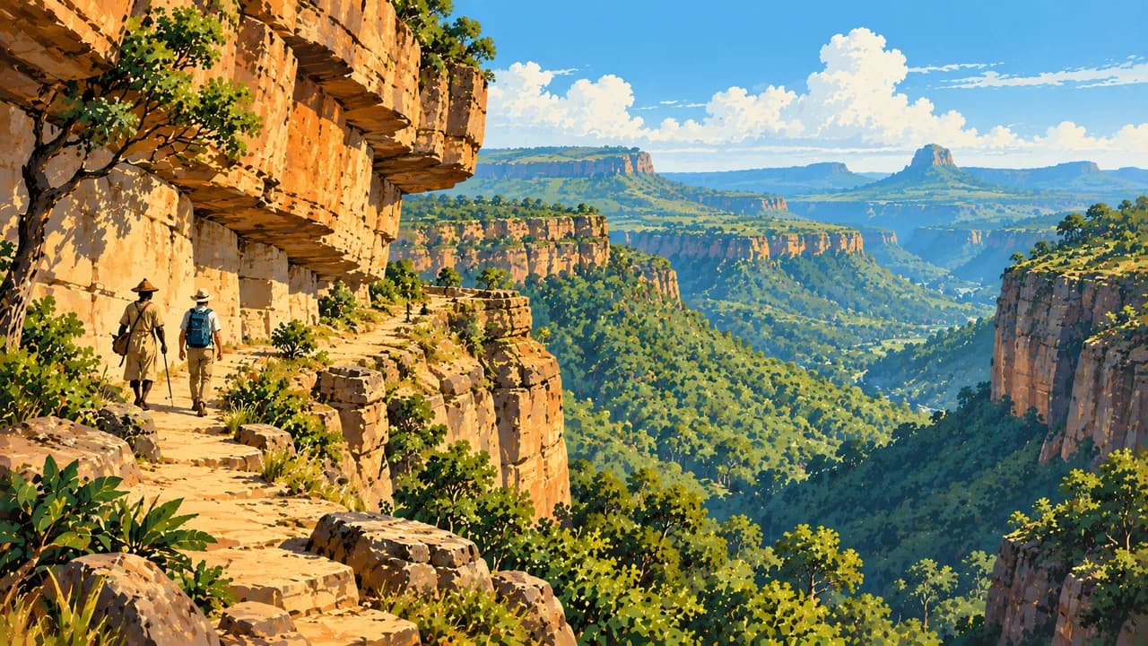
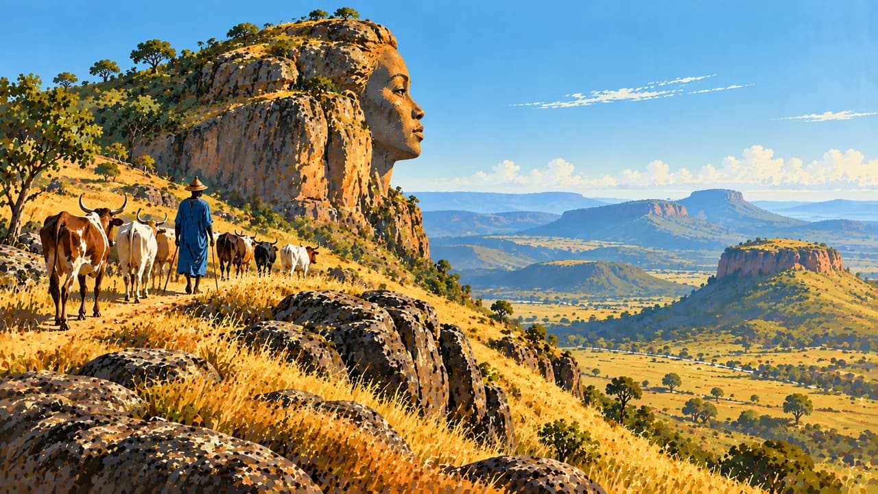
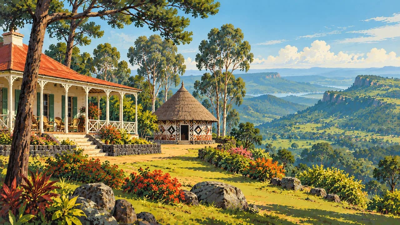
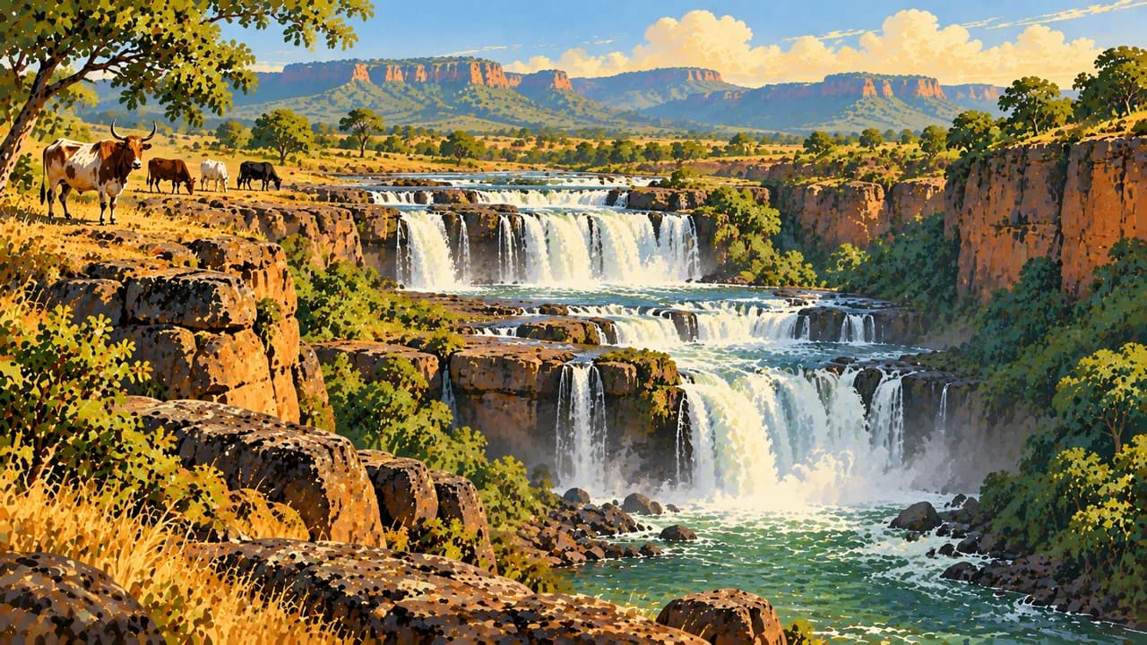
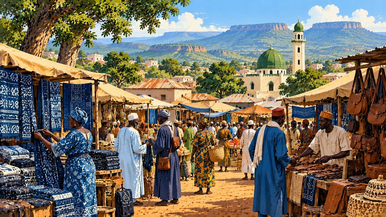
In the Fouta Djallon, Labé is a regional cultural and trading centre, while Pita is associated with waterfalls and Doucki with dramatic escarpments. Dalaba combines upland scenery with layers of colonial and cultural history. Farther north, Mali-ville sits among highland landscapes. These places are inhabited agricultural and pastoral environments, where local guidance and permission matter.
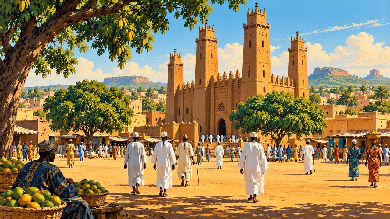
Faranah lies in the Niger’s upper catchment, and Kankan is a centre of Upper Guinea and Manding cultural life. Nzérékoré introduces Forest Guinea’s diverse communities and wooded landscapes. In the southeast, the UNESCO-listed Mount Nimba Strict Nature Reserve is shared with Côte d’Ivoire. Its forested slopes and upland grasslands protect distinctive biodiversity. Conservation status does not guarantee access or wildlife sightings.
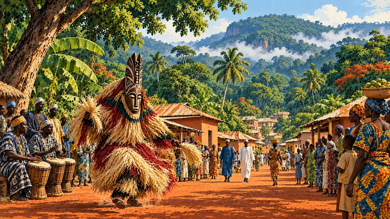
Rice with groundnut or leaf sauces, fonio and fish illustrate regional food traditions. Balafon music and oral histories form part of living heritage, including the sacred Sosso-Bala tradition. Rain can make roads and paths difficult, while drier months bring dust and inland heat. Confirm arrangements locally and respect community rules and privacy.
AI edited
- 10
- Regional administrative units Ten regional administrative units including the Conakry governorate, after Siguiri and Beyla were added in 2026. The September 2026 government overview also lists 44 prefectures. The four natural regions are separate.
- ≈ 17.5 million
- Population Rounded from 17,521,167 residents in the preliminary results of the 2025 RGPH-4 census, published in February 2026. This count differs from older international population estimates.
- 245,857 km²
- Area Total area in the government overview updated in September 2026. International tables may give slightly different area figures.
- French
- Language French is the official language. Many other languages are spoken in everyday life.
- Pular, Maninka and Susu
- Other languages Examples of widely spoken languages. Kpelle, Kissi and Toma are among those spoken in the forest region. This is not an exhaustive list.
- Guinean franc (GNF)
- Currency The Guinean franc is the national currency, with ISO code GNF. It is distinct from the CFA franc used in neighbouring countries. Cash availability and card acceptance are limited locally.
- C · F · K
- Socket types Plug types C, F and K according to Electrical Safety First, with a 220 V supply at 50 Hz. Check adapters, grounding, appliance compatibility and local installation conditions.
- Conakry
- Capital Conakry is the capital and a major port on the Atlantic coast. The clock shows Conakry local time.
- Right-hand traffic
- Driving side Traffic drives on the right. Road conditions, limited lighting, checkpoints and rain can complicate overland journeys. Avoid driving after dark.
- UTC±0
- Time zone Greenwich Mean Time throughout the year, without seasonal clock changes. The clock uses Africa/Conakry.
Guinea on the map

Map data: geoBoundaries (CC BY 4.0), © OpenStreetMap contributors (ODbL), Natural Earth
Climate and best time to travel
The roughly November to April dry season varies with elevation and region. December to February is a conservative, generally drier window in many places. The coast has particularly heavy wet-season rainfall, while showers remain possible outside the main wet season in the forest region. Highland nights can be cool. Inland heat rises towards the end of the dry season, and Harmattan winds can bring dust. From May to September, heavy rain, flooding and landslides disrupt many routes. Waterfalls often have more water then, but access may be difficult or closed. Germany’s Foreign Office advises against travel to Mali border areas and the Mandiana and Siguiri districts without particular local knowledge or prior consultation with local security authorities. Mali-ville is a Guinean highland town, not the neighbouring country Mali. Demonstrations, roadblocks and tensions in southern border areas can further disrupt routes. Current official advice and local access rules take precedence. Month windows are broad climate guidance and guarantee neither weather nor access.