Senegal
Atlantic shores, lively music and places of remembrance meet mangrove channels, bird-rich wetlands and living cultural landscapes.
Worth coming back!
Wanderlama keeps growing with new destinations, helpful information and exciting features. Check back soon and discover what is new!
Travel to Senegal
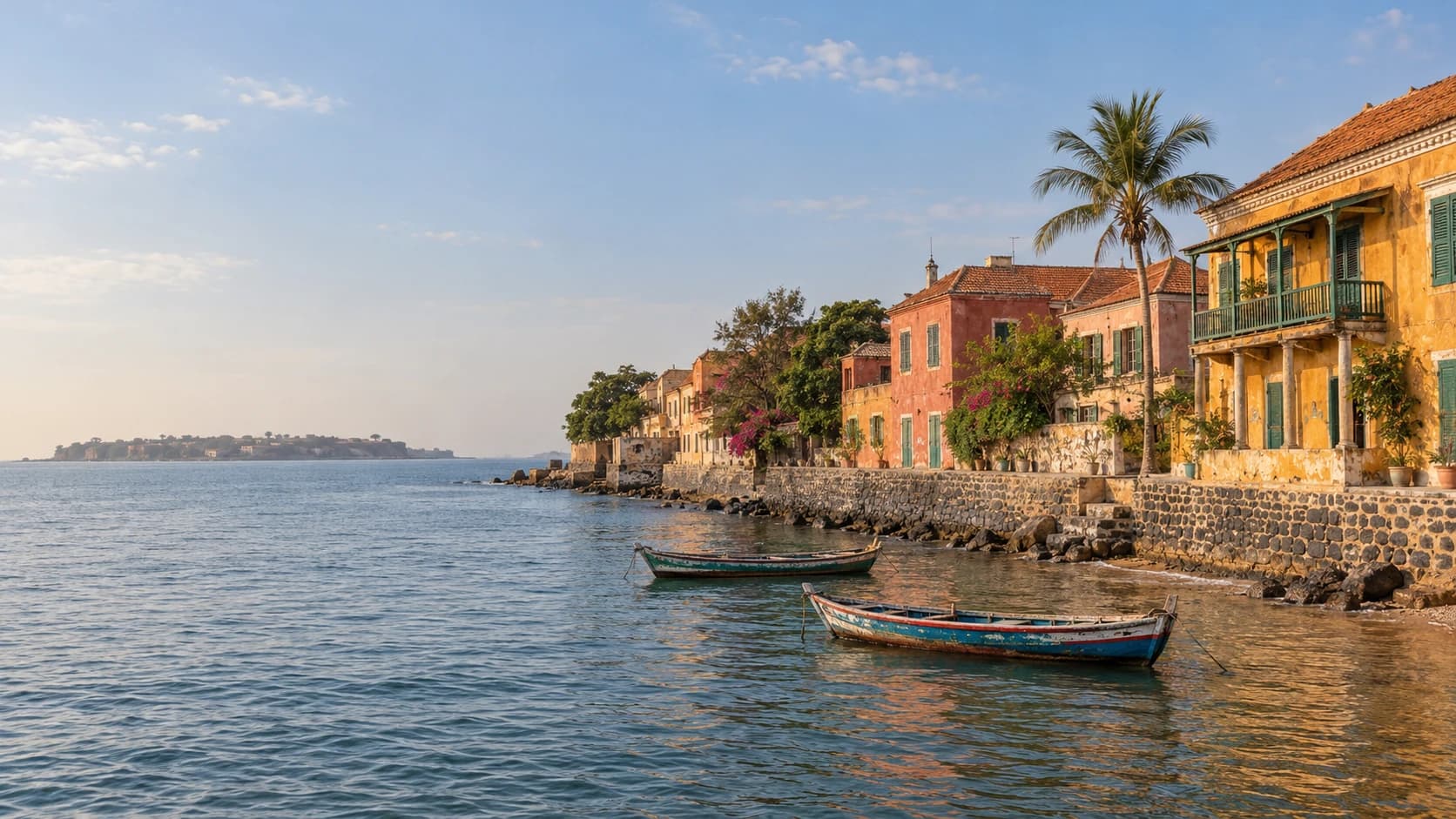
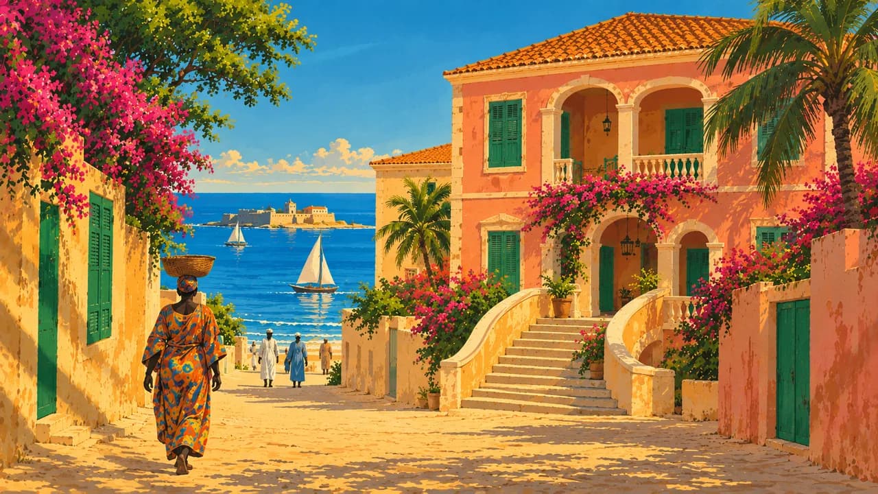
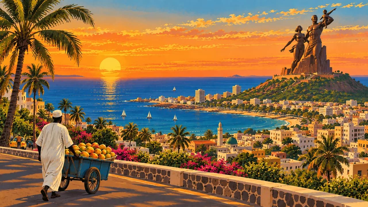
Senegal occupies Africa's Atlantic western edge, linking Sahelian landscapes, river valleys and the greener south. The capital Dakar combines markets, contemporary art and mbalax music. Nearby Gorée, a UNESCO island, preserves colonial architecture and the House of Slaves memorial associated with the transatlantic slave trade.
The German Foreign Office advises against non-essential travel to immediate border areas with Mali, Mauritania in Matam department, and Gambia and Guinea-Bissau in Ziguinchor, Sédhiou and Kolda departments. Mines remain in parts of the Casamance border forests. Check current regional guidance rather than assuming all southern routes are open. Demonstrations, theft and strong coastal currents also require attention.
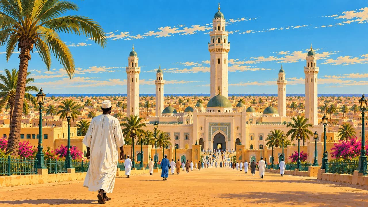
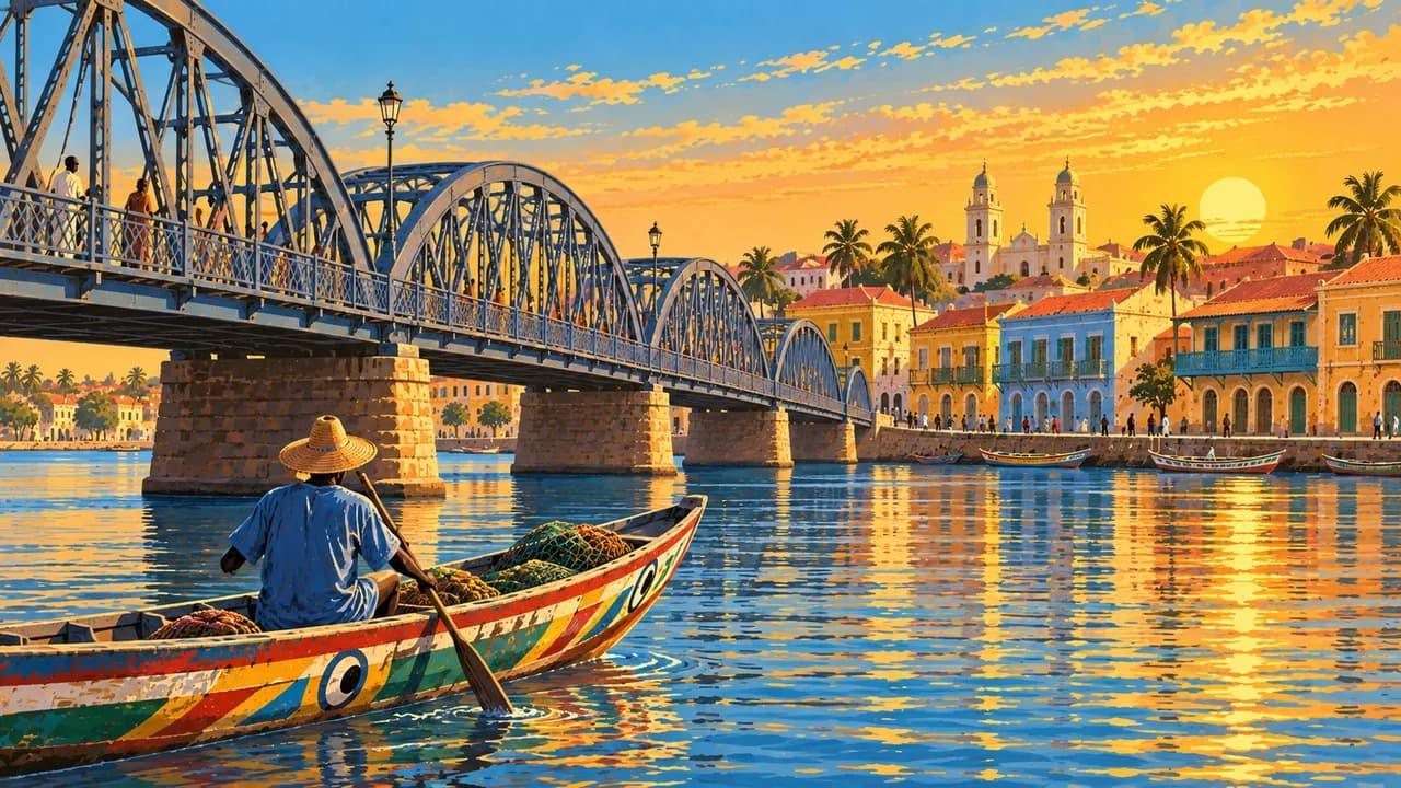
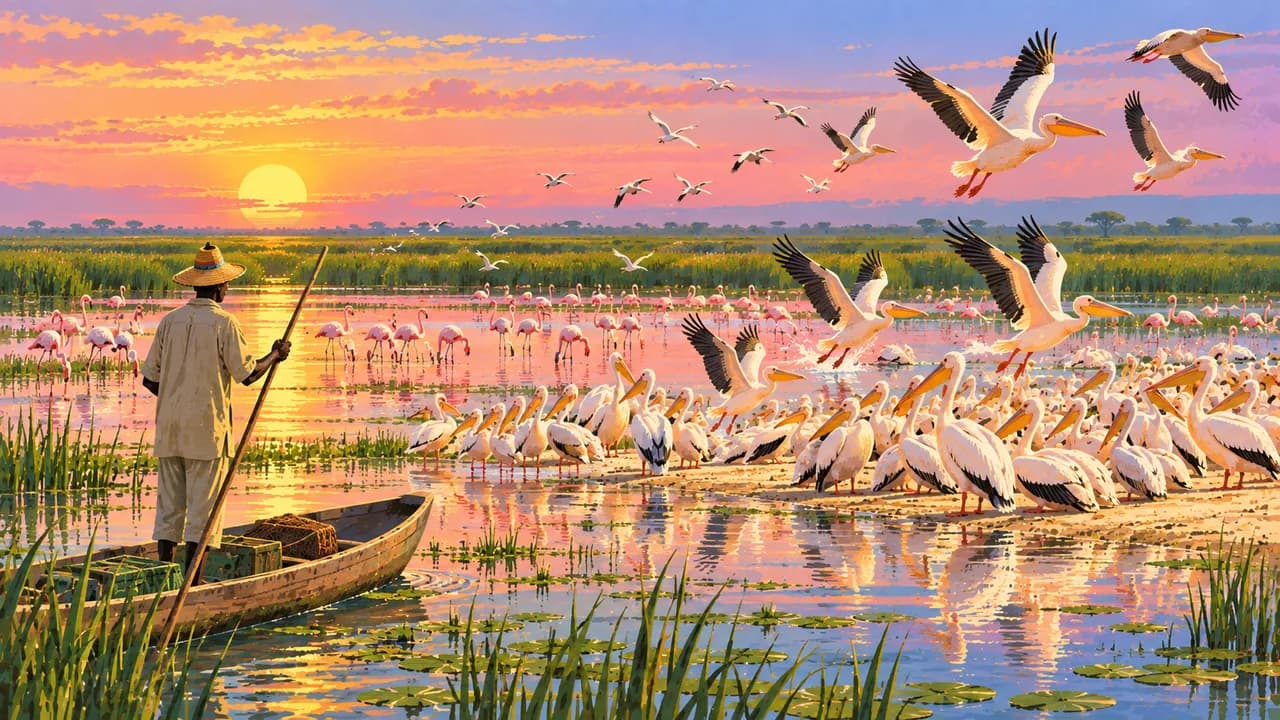
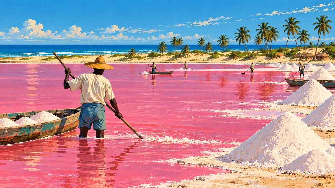
Saint-Louis's UNESCO-listed island reflects river-port and colonial history. Djoudj's UNESCO bird sanctuary protects wetlands important to migratory birds. Touba centres on the Great Mosque and Mouride religious life, where dress and visitor rules deserve respect. Lac Rose, also called Retba, is a salt-working landscape whose pink colour varies with ecological conditions and is not guaranteed.
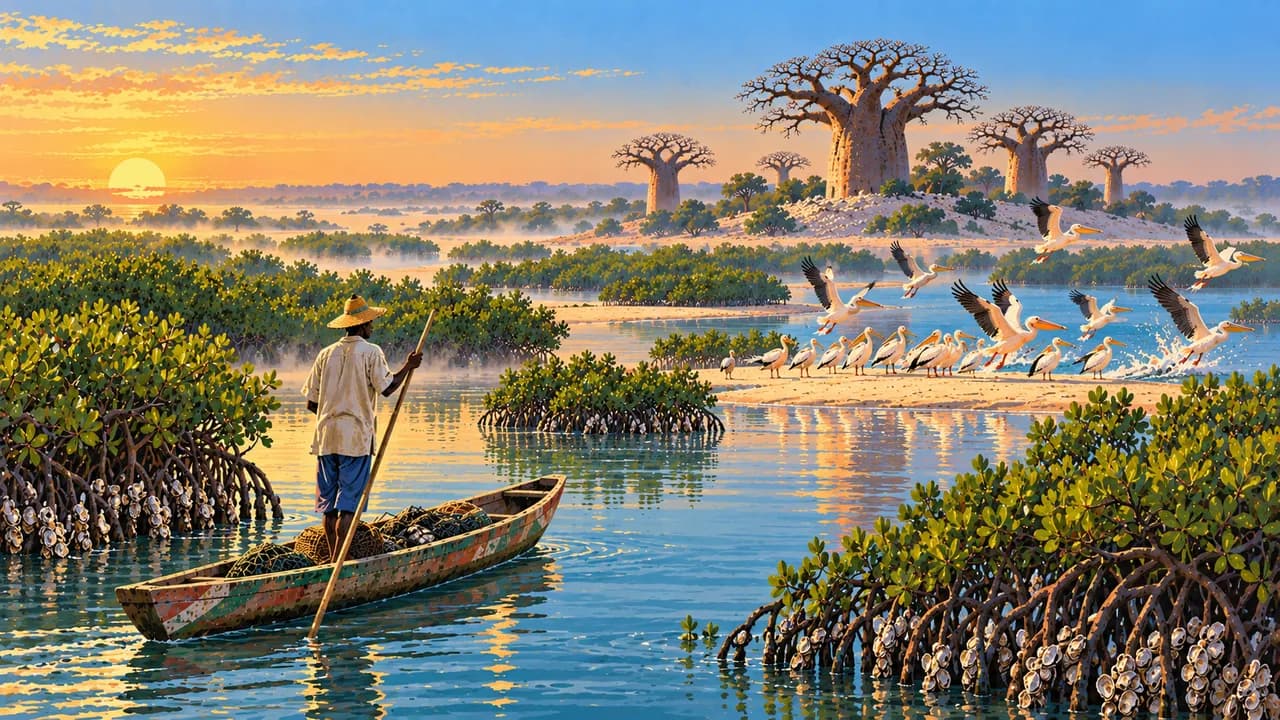
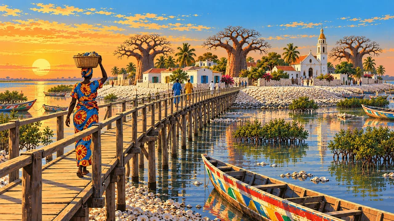
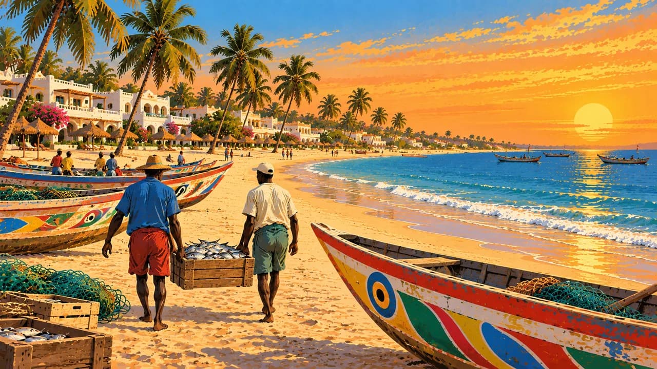
Saly represents beach tourism on the Petite Côte. Bandia is a private wildlife reserve, distinct from a national park. Joal-Fadiouth adds shell-built island landscapes and fishing traditions. The Sine-Saloum Delta combines mangrove channels, settlements and shell mounds. Its UNESCO inscription recognises a cultural landscape shaped by long interaction between people and coastal resources.
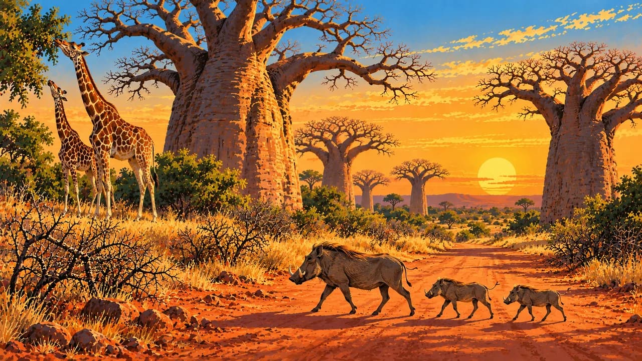
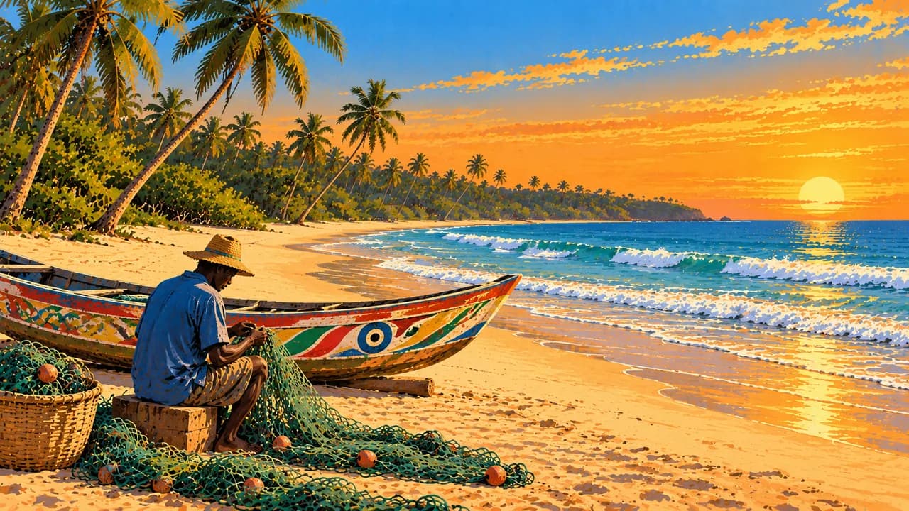
In Casamance, Ziguinchor introduces river commerce, markets and regional crafts, while Cap Skirring has Atlantic beaches. The southeast brings Niokolo-Koba's UNESCO-protected savannas and forests and Bassari Country's living Bassari, Fula and Bedik cultural landscapes. The UNESCO Stone Circles of Senegambia are a shared Senegalese-Gambian funerary heritage, not a single monument.
Ceebu jën combines fish, rice and vegetables, with its associated culinary knowledge recognised as intangible heritage. Drier months broadly from November to May contrast with summer rains that can disrupt roads, especially in the south. Wildlife sightings and access depend on local conditions. Seek permission before photographs or entering sacred places and respect residents' privacy.
AI edited
- 14
- Regions Senegal has fourteen administrative regions according to ANSD. The climate-card groupings are thematic and do not represent an alternative administrative division.
- ≈ 18.93 million
- Population Rounded UN projection for 2025 using the medium-fertility variant, 18.932 million. This dated estimate is not a new census.
- 196,722 km²
- Area Total area reported by Senegal's national statistics agency ANSD in its 2022–2023 national economic and social review. Published totals can differ slightly, so the source is specified.
- French
- Language French is the official language under Article 1 of the constitution. The constitution also recognises national languages. The flag here identifies the language.
- Wolof, Pulaar, Serer
- Other languages Examples among the country's languages. The constitution also names Diola, Malinké and Soninké and provides for other codified national languages. Use varies by community and region.
- West African CFA franc
- Currency Senegal uses the West African CFA franc issued by BCEAO, with the code XOF. It is distinct from the Central African CFA franc XAF. Cash and card availability vary locally.
- C · D · E · K
- Socket types Electrical Safety First lists plug types C, D, E and K at 230 V and 50 Hz. Check local installation, earthing and appliance compatibility. An adaptor does not convert voltage or frequency.
- Dakar
- Capital Dakar is the capital on the Cap-Vert peninsula and a major administrative, economic and cultural centre. The clock displays the capital's local time.
- Right-hand traffic
- Driving side Traffic drives on the right. Avoid overland travel after dark. Rain can disrupt roads, and mines remain in parts of the Casamance border forests. Current regional advice takes precedence.
- UTC+0
- Time zone Greenwich Mean Time throughout the year, without seasonal clock changes. The clock uses Africa/Dakar.
- 5
- UNESCO cultural sites The five UNESCO cultural properties are Gorée, Saint-Louis, Saloum Delta, Bassari Country and the Stone Circles of Senegambia shared with The Gambia. Djoudj, Niokolo-Koba (natural) and Ceebu jën (intangible) are excluded.
Senegal on the map

Map data: geoBoundaries (CC BY 4.0), © OpenStreetMap contributors (ODbL), Natural Earth
Climate and best time to travel
November to April often brings drier conditions, with cooler coastal weather and increasing inland heat later in the dry season. Rain broadly from June to October is heavier and lasts longer in the south and can disrupt roads. Harmattan dust can affect visibility. The cards describe broad climate windows, not opening dates, festival schedules or guaranteed wildlife sightings. Touba's Magal follows a changing lunar date. Retba's pink colour is not guaranteed. The German Foreign Office advises against non-essential travel to immediate borders with Mali, Mauritania in Matam department, and Gambia and Guinea-Bissau in Ziguinchor, Sédhiou and Kolda departments. Mines remain in parts of the Casamance border forests. Check current advice and local access conditions. Strong Atlantic currents require local judgement, and neither the season nor UNESCO status establishes safe access.
Destinations in Senegal
 AI generated
 AI generated
 AI generated
 AI generated
 AI generated
 AI generated
 AI generated
 AI generated
 AI generated
 AI generated
 AI generated
 AI generated