Colombia
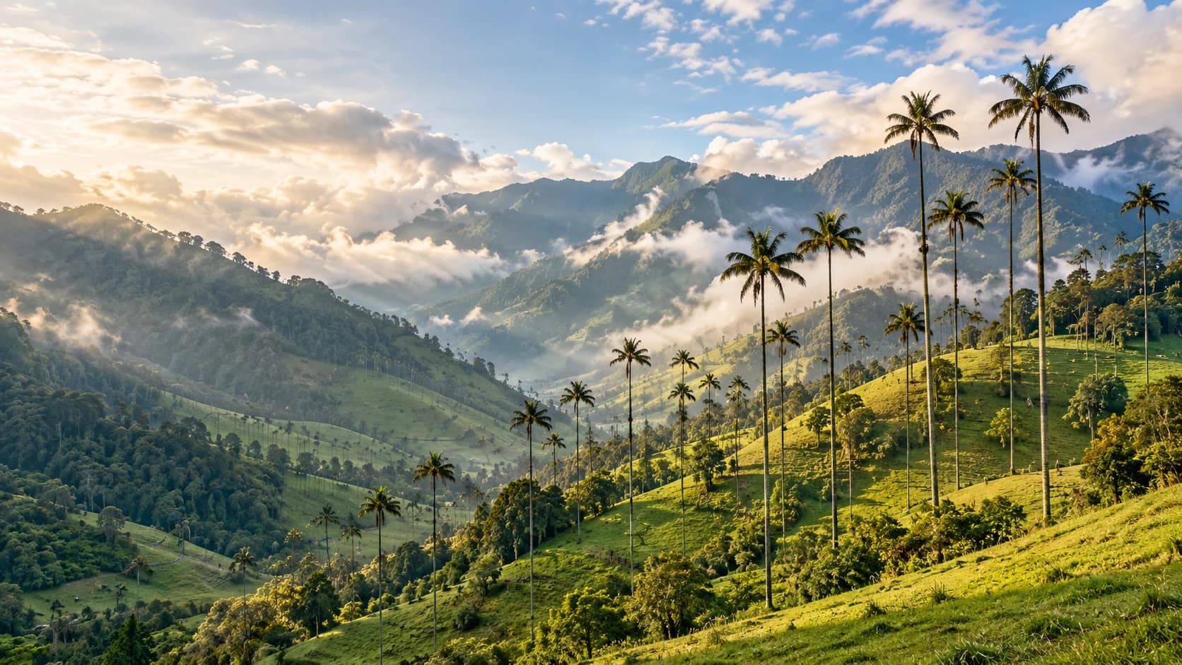
Green mountain landscapes, tropical coasts and a vibrant culture of music, coffee and regional flavours.
Worth coming back!
Wanderlama keeps growing with new destinations, helpful information and exciting features. Check back soon and discover what is new!
Travel to Colombia
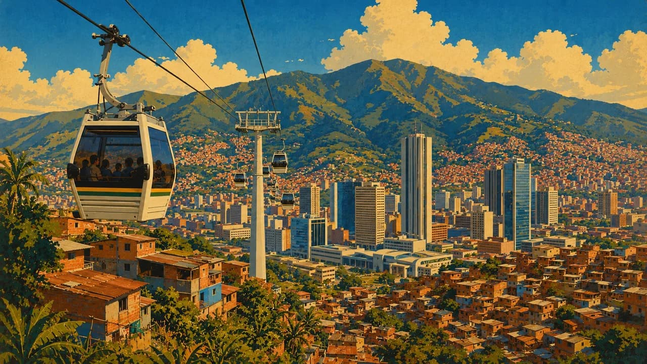
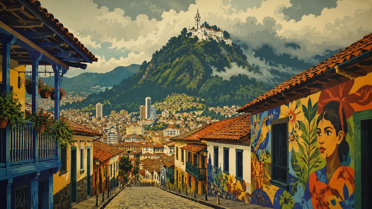
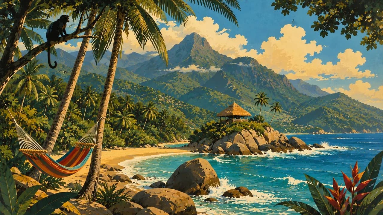
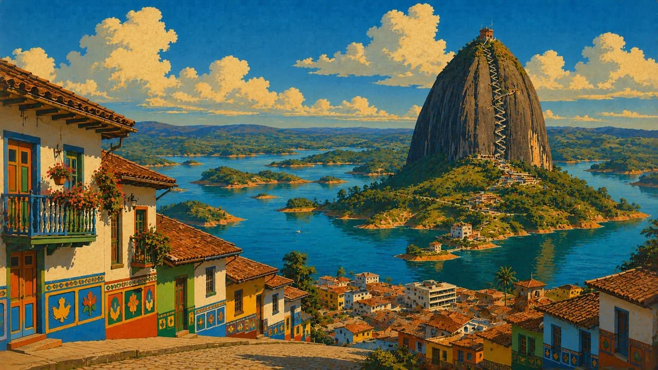
Colombia links Caribbean and Pacific coasts with the Andes, Amazon rainforest and eastern plains in northwestern South America. Bogotá combines the Gold Museum and historic La Candelaria, while Medellín offers cable cars, street art and lively neighbourhoods. Cartagena's walled colonial centre contrasts with Tayrona's forested beaches.
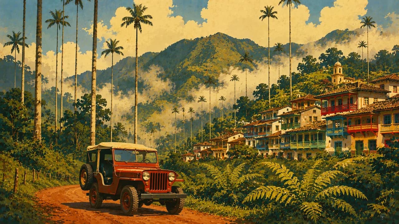
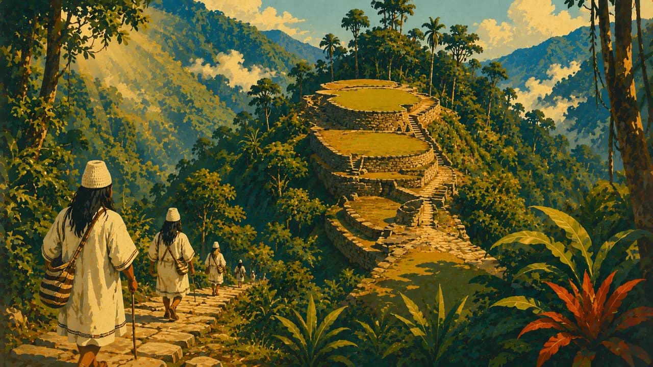
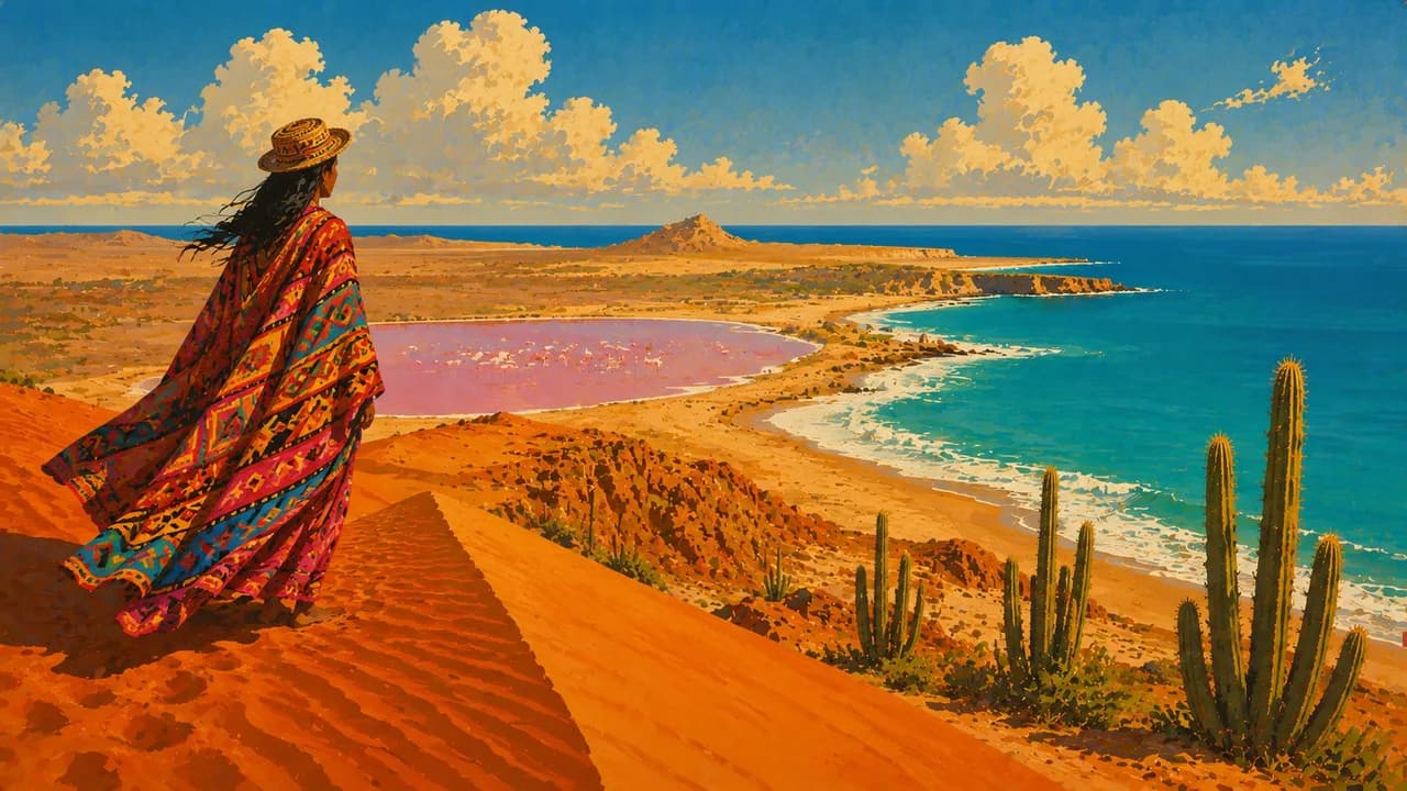
Coffee farms around Salento and the wax palms of the Cocora Valley reveal the rural Andes. The trek to the Lost City (Ciudad Perdida) leads into the Sierra Nevada de Santa Marta. San Andrés and Providencia offer Caribbean beaches and coral reefs. Around Nuquí, Pacific rainforest meets the sea, with seasonal humpback whale watching, while Leticia opens access to Amazon river landscapes. La Guajira combines arid coastlines with Wayúu culture, and San Agustín preserves pre-Columbian stone sculptures.
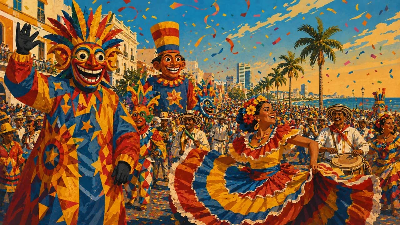
Cali's salsa and regional dishes such as arepas and ajiaco add musical and culinary traditions. Smaller heritage towns, markets and craft workshops offer quieter encounters with regional life beyond the major cities. Community-led experiences can explain local histories and landscapes while respecting the people who live there. Mountain elevations create striking changes in temperature over relatively short distances, while rainfall patterns differ between the two coasts and the interior.
River levels and sea conditions influence remote excursions and wildlife watching. Flights and long-distance buses connect major regions, but rural roads and boat journeys need extra time. Travel plans benefit from current local guidance and a manageable regional focus rather than a rapid nationwide circuit. Altitude and distances shape regional journeys, while local cultural life offers perspectives beyond the main urban centres.
AI edited
- 32
- Departments
- ≈ 53 million
- Population
- 1,141,748 km²
- Area
- Spanish
- Language
- English & indigenous languages
- Other languages English is spoken in parts of international tourism but is not widely understood everywhere. Some Spanish is helpful. Indigenous and Creole languages are maintained within their communities.
- Colombian peso (COP)
- Currency
- A · B
- Socket types
- Bogotá
- Capital
- Right-hand traffic
- Driving side
- UTC−5
- Time zone Colombia uses UTC−5 nationwide, without seasonal clock changes.
- 6
- UNESCO cultural sites
Colombia on the map

Map data: geoBoundaries (CC BY 4.0), © OpenStreetMap contributors (ODbL), Natural Earth
Climate and best time to travel
Colombia's climate depends more on altitude and region than on conventional seasons. The coasts and Amazon region are tropical and warm, while Bogotá and higher elevations are considerably cooler. December to March and often July to August offer relatively drier conditions in many Andean areas for city visits, coffee farms and walks. The Caribbean coast is usually drier from December to March. The Pacific coast receives heavy rain year-round; humpback whales are most often observed from July to October. Around Leticia, high water levels frequently allow boat trips through flooded forests from March to June, while lower levels open up different paths and excursions. These months are a guide rather than a weather guarantee. Check local forecasts, access rules and seasonal closures before mountain hikes and national park visits.
Destinations in Colombia
 AI generated
 AI generated
 AI generated
 AI generated
 AI generated
 AI generated
 AI generated
 AI generated
 AI generated
 AI generated
 AI generated
 AI generated