Ecuador
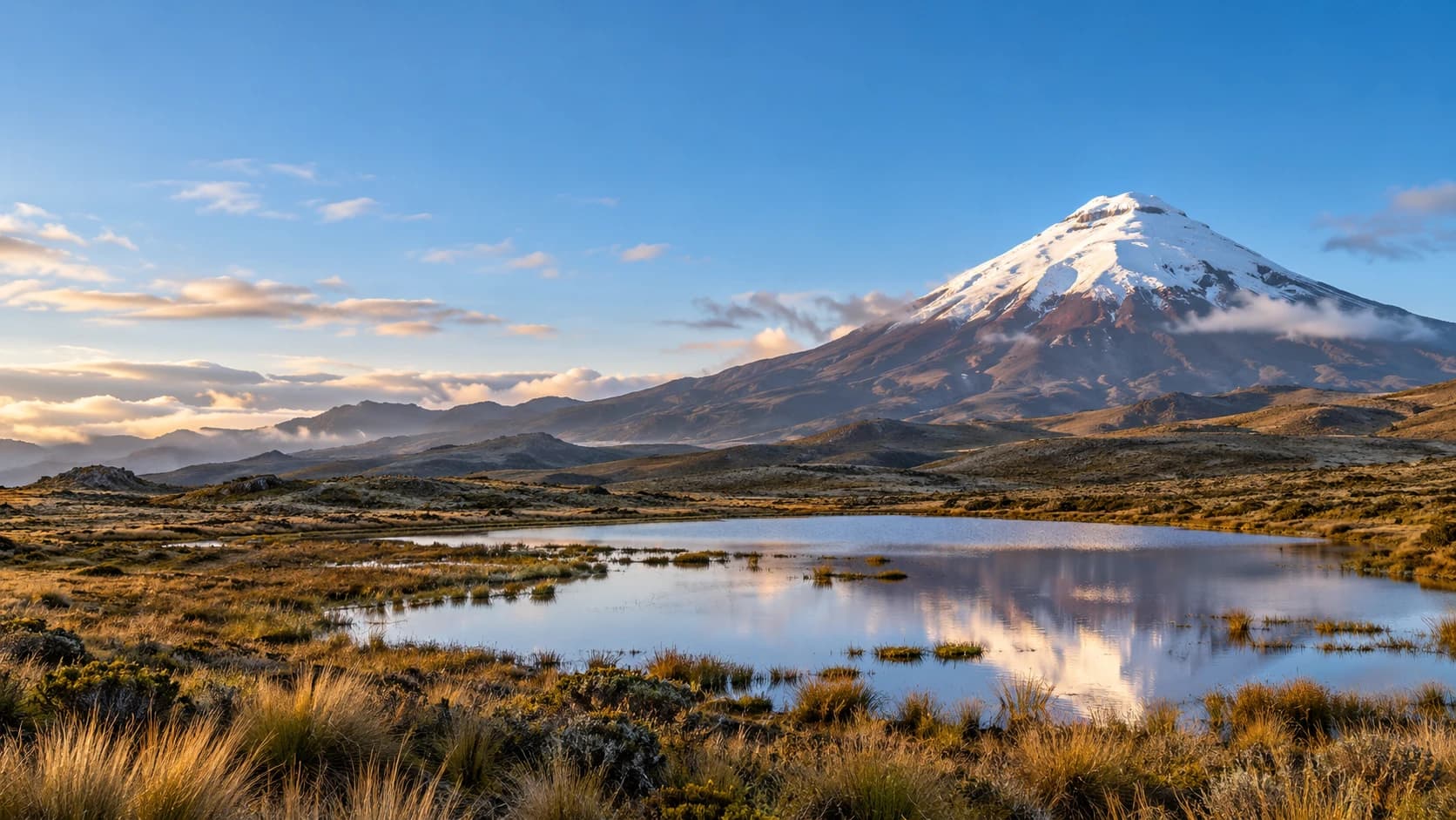
Volcanic landscapes, cloud forests and tropical wildlife between living Andean culture, the Pacific coast and island nature.
Worth coming back!
Wanderlama keeps growing with new destinations, helpful information and exciting features. Check back soon and discover what is new!
Travel to Ecuador
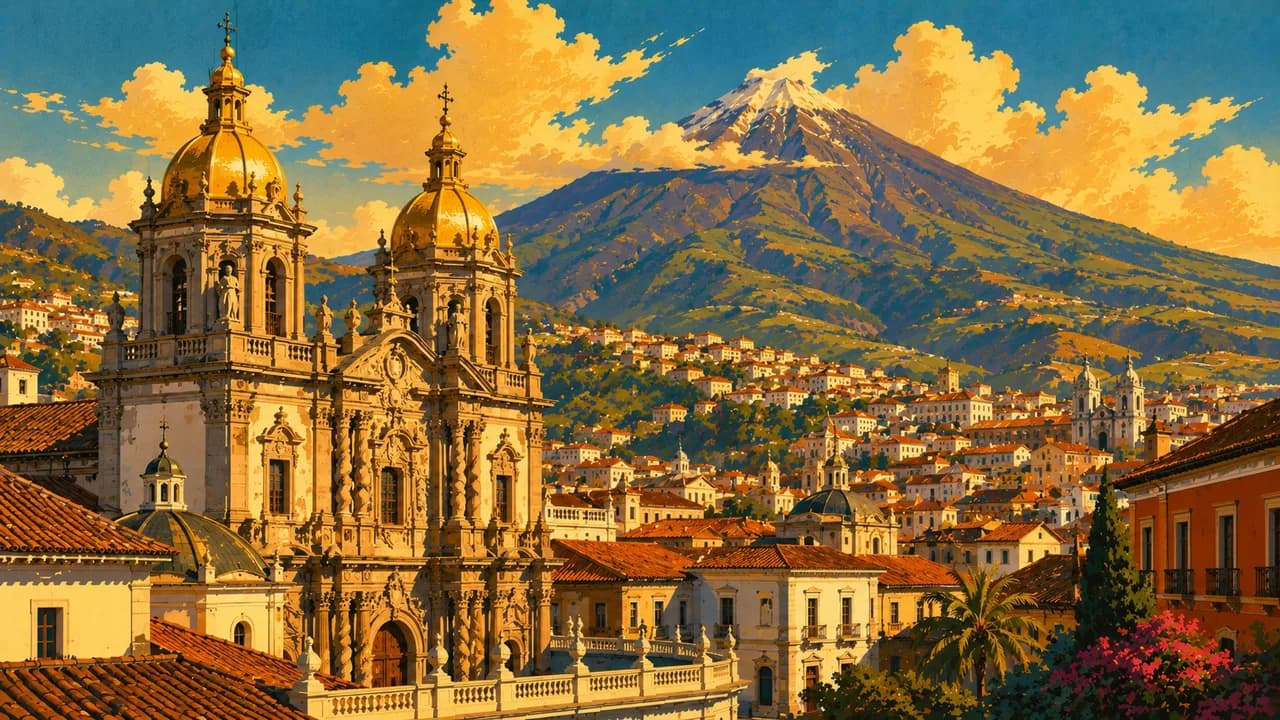
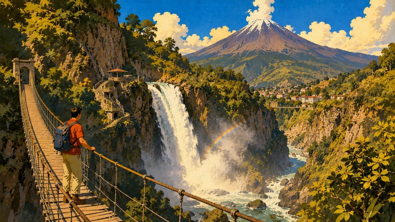
Ecuador sits on the equator in northwestern South America and brings together four contrasting regions, namely the Andes, Amazonia, the Pacific coast and the Galápagos Islands. Quito's UNESCO-listed historic centre combines churches, plazas and museums with a living highland capital. Nearby Mindo offers cloud forest, birdwatching and waterfalls, while Otavalo is known for textile traditions, Indigenous markets and the surrounding Andean landscape.
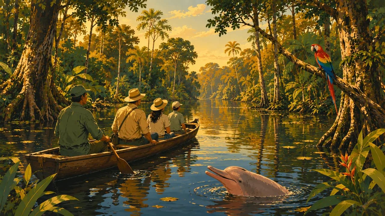
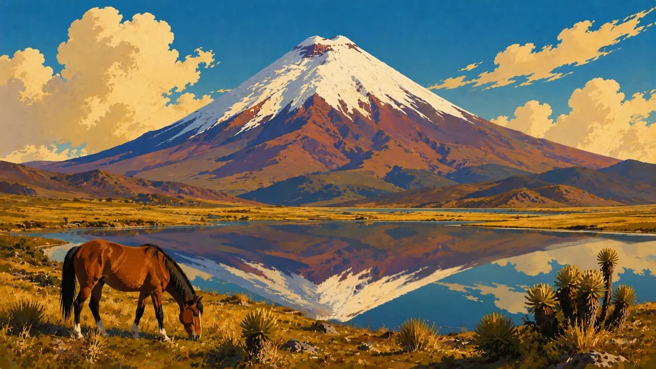
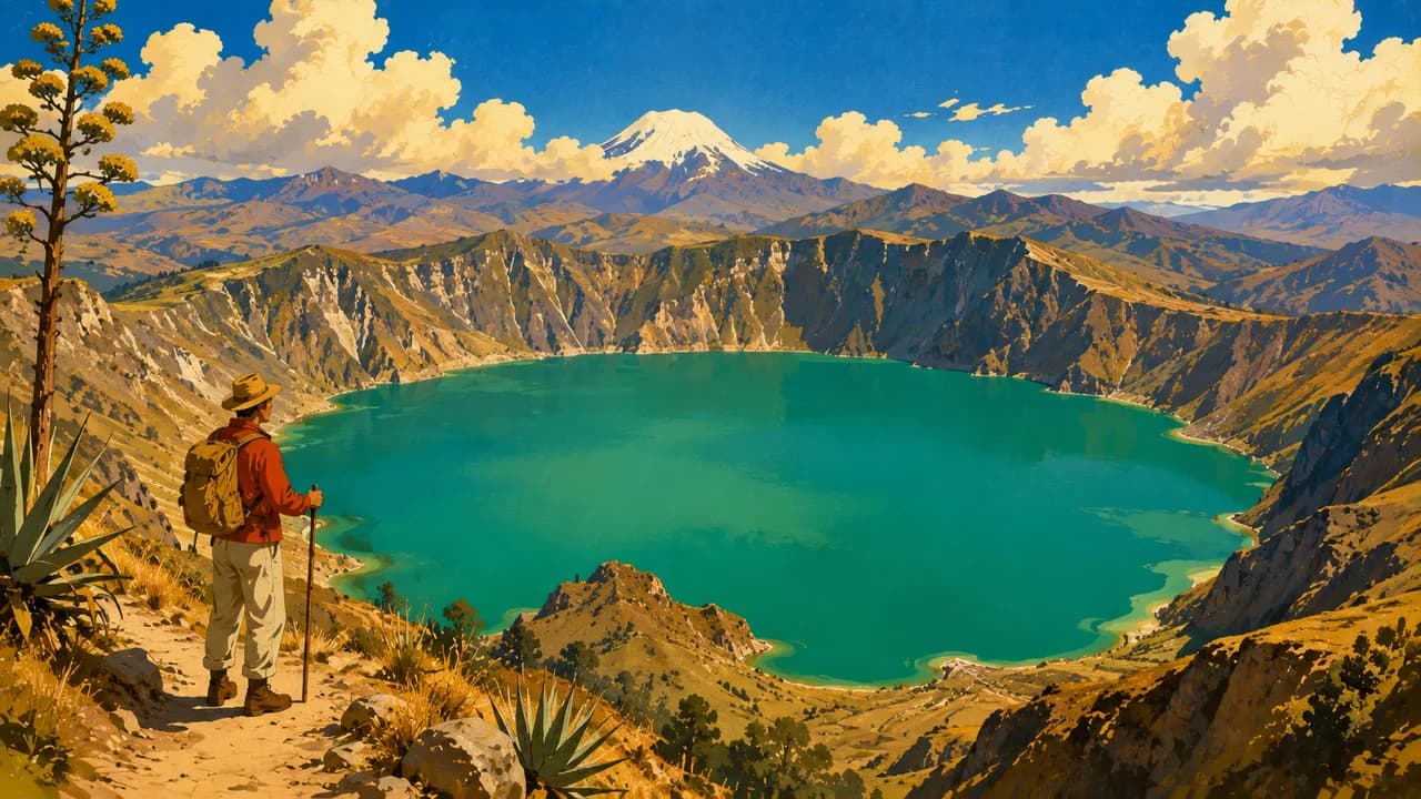
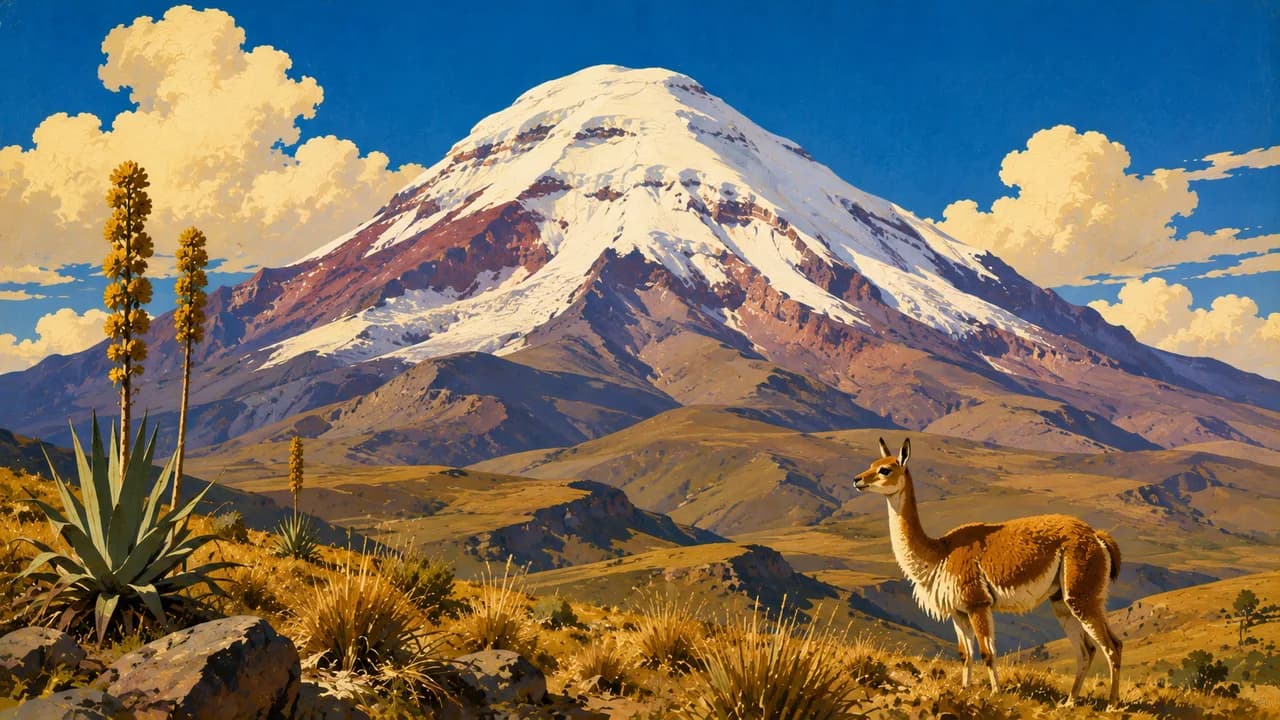
The Avenue of the Volcanoes links Cotopaxi's volcanic scenery, the Quilotoa crater lake and the high páramo around Chimborazo. Baños de Agua Santa adds hot springs, waterfalls and outdoor activities at the transition toward Amazonia. In the south, Cuenca's UNESCO-listed centre, Ingapirca's Cañari and Inca heritage and the valleys around Vilcabamba reveal other sides of the highlands. In Amazonia, the Cuyabeno reserve offers guided river and rainforest outings, wildlife observation and community experiences where locally arranged.
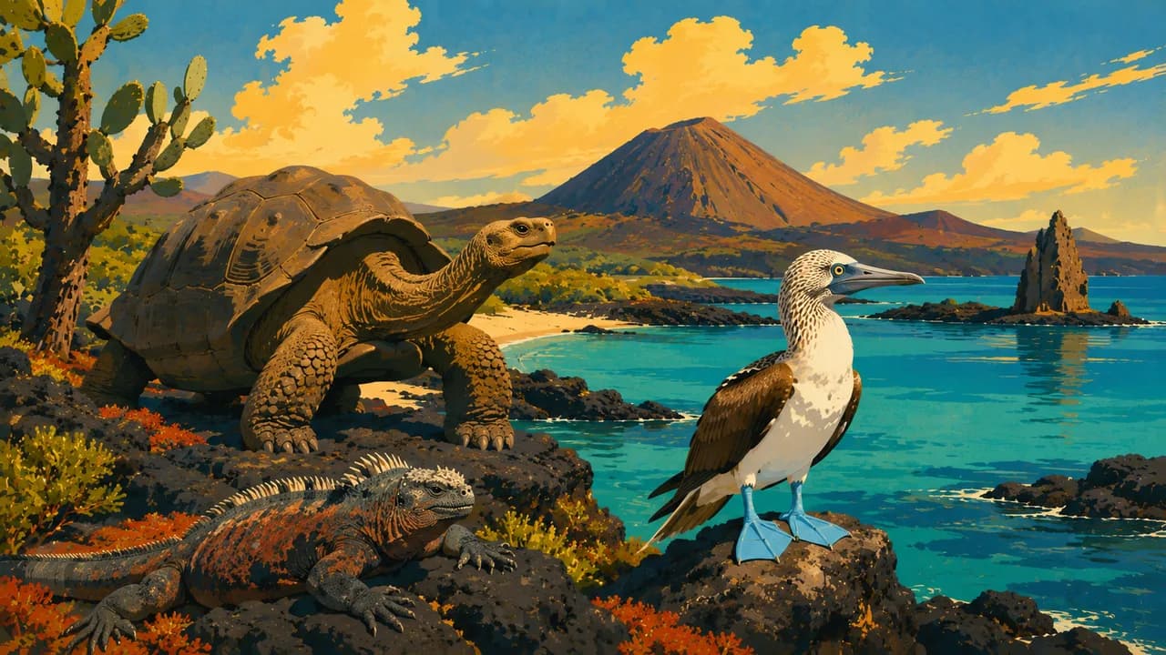
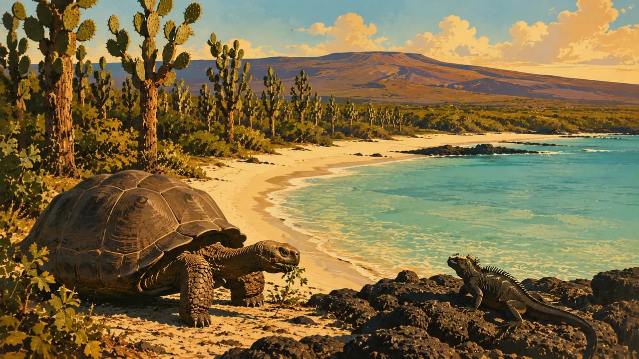
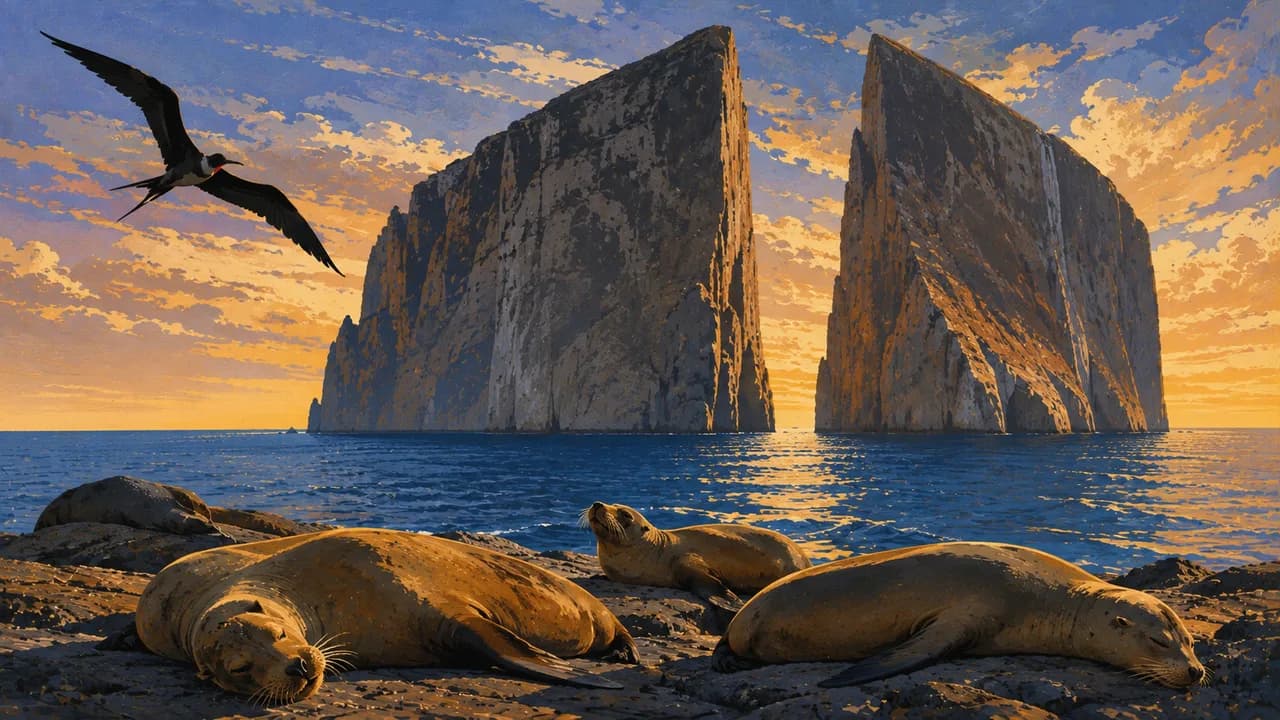
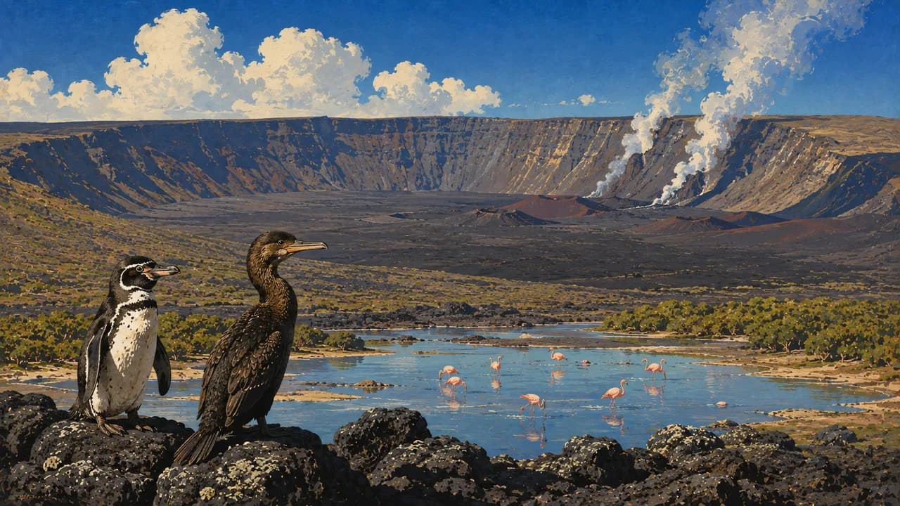
On the Pacific side, Guayaquil provides urban and riverfront culture, while Montañita is associated with surf and beach life. Far offshore, Galápagos combines volcanic landscapes with giant tortoises, marine iguanas, sea lions and seabirds. Santa Cruz, San Cristóbal, Isabela and Floreana offer different island experiences through permitted land visits and boat trips. Wildlife sightings are not guaranteed, and park access, authorised guiding, biosecurity rules and respectful distances from animals shape visits.
Ceviche, encebollado, potato locro, cacao and regional Amazonian cooking reflect the country's cultural and ecological variety. Weather varies with altitude, rainfall and ocean conditions rather than one nationwide travel season.
AI edited
- 24
- Provinces Ecuador has 24 provinces. Galápagos is one of them, with special administrative and access arrangements. The four natural regions are not additional provinces.
- 16.94 million
- Population INEC's 2022 Census counted 16,938,986 residents. This tile deliberately uses that dated census count, not a current population projection.
- ≈ 256,370 km²
- Area Area including the mainland and Galápagos according to Ecuador's foreign ministry and the Andean Community. Marine zones are excluded. Definitions and measurement dates can vary.
- Spanish
- Language Spanish is the predominant everyday language. The Spanish flag here represents the language, not nationality.
- Kichwa, Shuar & other languages
- Other languages Kichwa and Shuar are among Ecuador's Indigenous languages. Other community languages are also spoken. English skills vary by region and individual.
- US dollar (USD)
- Currency Ecuador uses the US dollar. Ecuadorian centavo coins also circulate. Card acceptance and access to cash vary by place and provider.
- A · B
- Socket types Type A and B sockets are common, at 120 volts and 60 hertz. A plug adapter does not convert voltage. Check appliance specifications and local outlets.
- Quito
- Capital Quito is the capital and lies in the Andean highlands. Its clock uses the mainland America/Guayaquil zone, which also applies in Quito. Galápagos is one hour behind.
- Right-hand traffic
- Driving side Traffic drives on the right. Mountain roads, rain and temporary closures can affect journey times.
- UTC−5 / UTC−6
- Time zones The mainland, including Quito, uses UTC−5 and Galápagos UTC−6. Neither currently observes seasonal clock changes. The clock selector shows both regions with browser and saved-home comparisons where available.
- 3
- UNESCO cultural sites Three cultural UNESCO World Heritage properties, checked October 2026: Quito, Cuenca's historic centre and the transboundary Qhapaq Ñan Andean Road System. Galápagos and Sangay are natural heritage and excluded from this count.
Ecuador on the map

Map data: geoBoundaries (CC BY 4.0), © OpenStreetMap contributors (ODbL), Natural Earth
Climate and best time to travel
Ecuador has no single travel season despite its equatorial location. Elevation, rainfall and ocean currents shape conditions. Many Andean areas are often drier from June to September, while cold and sudden weather changes remain possible at altitude. Mindo and Amazonia are humid year-round, with river levels affecting outings. The Pacific coast is often warmer and sunnier roughly from December to May, although heavy rain can occur. Galápagos generally has a warmer phase with warmer water from December to May and cooler, often windier conditions with garúa mist from June to November. Month ranges are guidance, not guarantees of weather, sightings or access.
Destinations in Ecuador
 AI generated
 AI generated
 AI generated
 AI generated
 AI generated
 AI generated
 AI generated
 AI generated
 AI generated
 AI generated
 AI generated
 AI generated