Peru
Piruw
Ancient cultures, vast mountain landscapes and biodiverse rainforests meet coastal deserts, living traditions and a richly varied food culture.
Worth coming back!
Wanderlama keeps growing with new destinations, helpful information and exciting features. Check back soon and discover what is new!
Travel to Peru
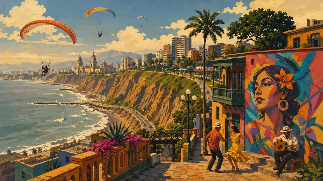
Peru stretches from the Pacific's coastal deserts across the Andes into the Amazon rainforest. Its heritage reaches far beyond the Inca, encompassing earlier civilisations and living Indigenous traditions. Lima combines a historic centre, coastal neighbourhoods and markets with a varied food culture shaped by Indigenous, European, African and Asian influences.
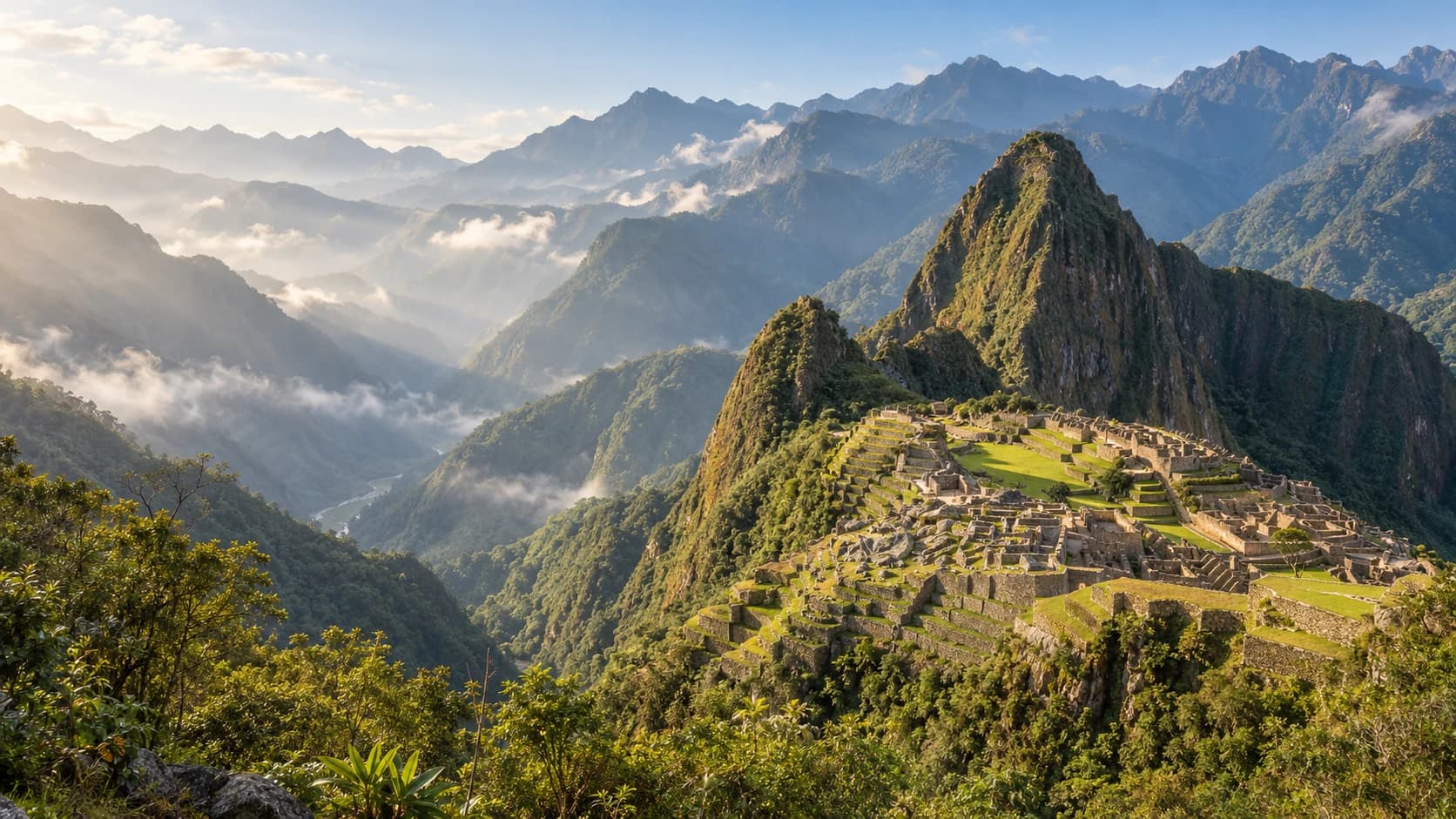
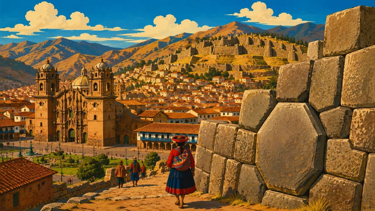
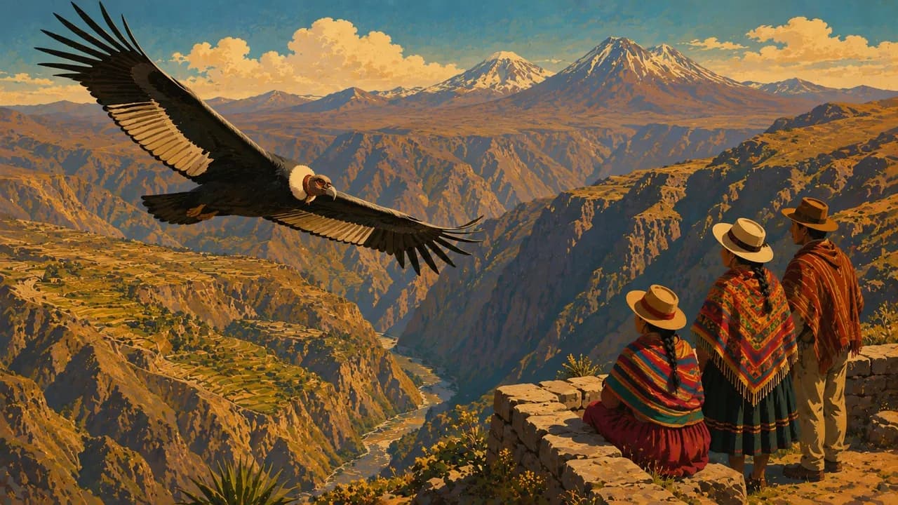
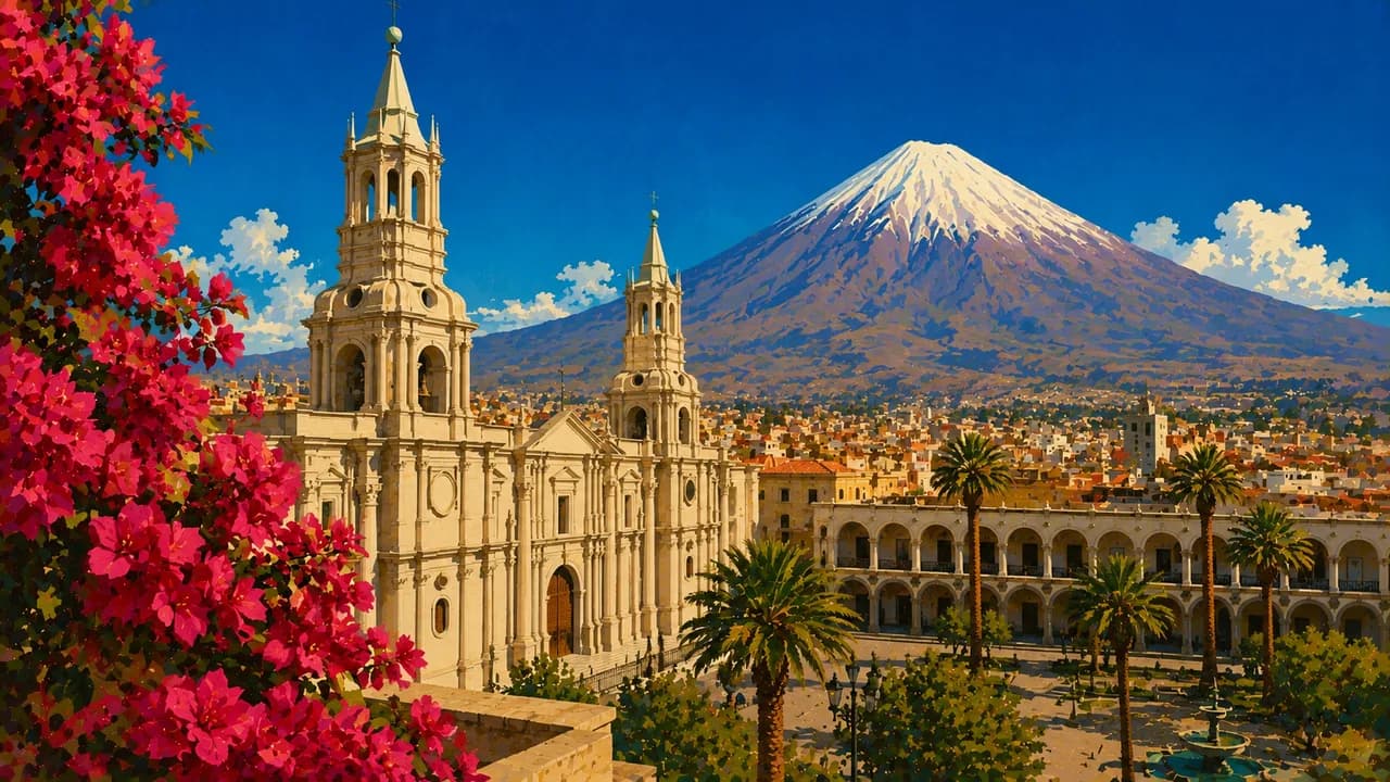
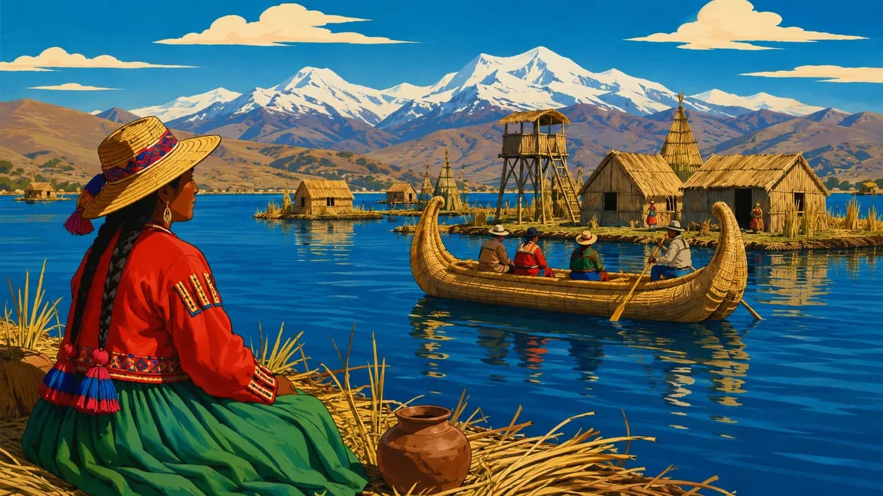
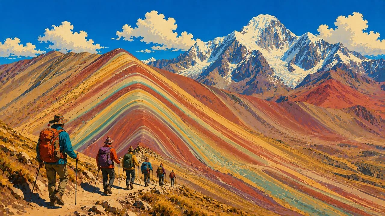
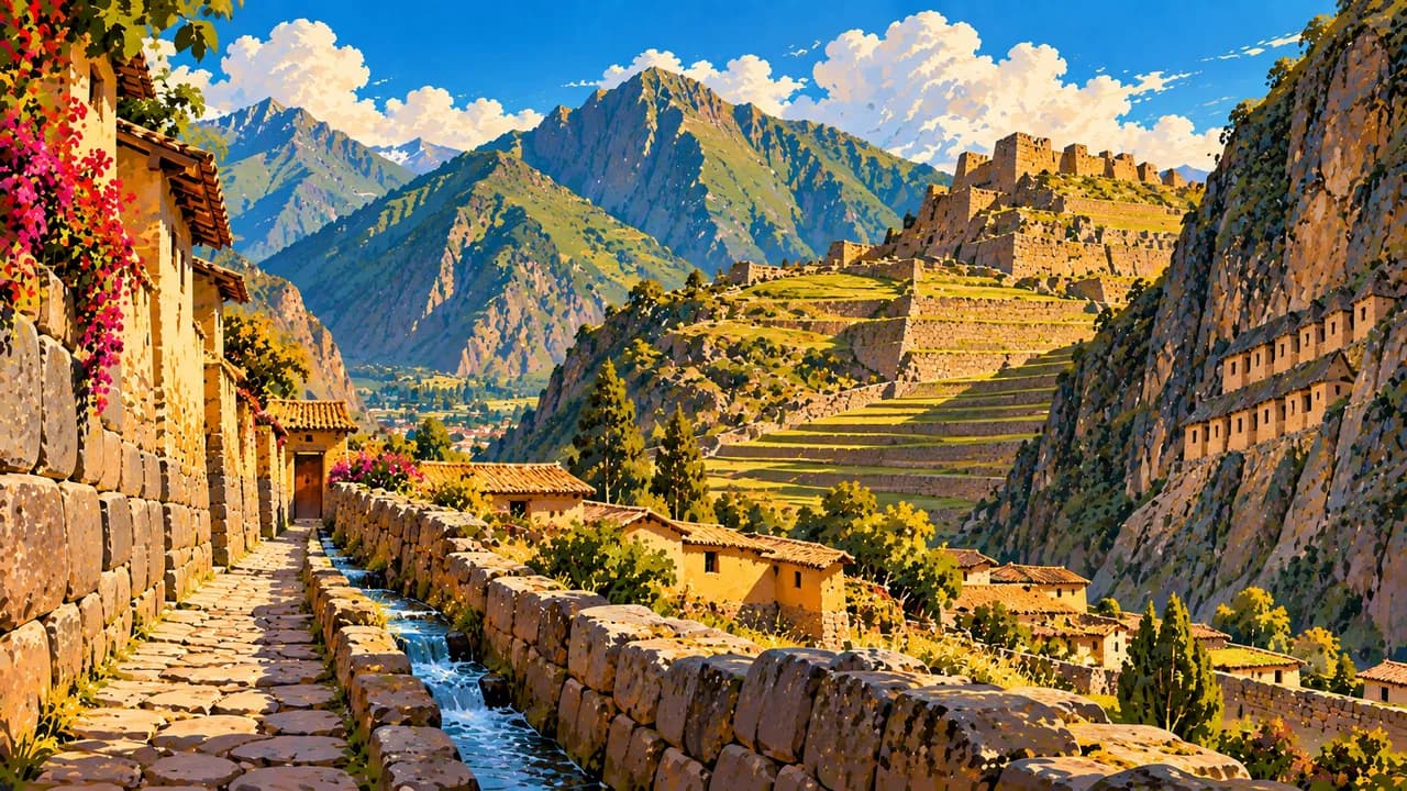
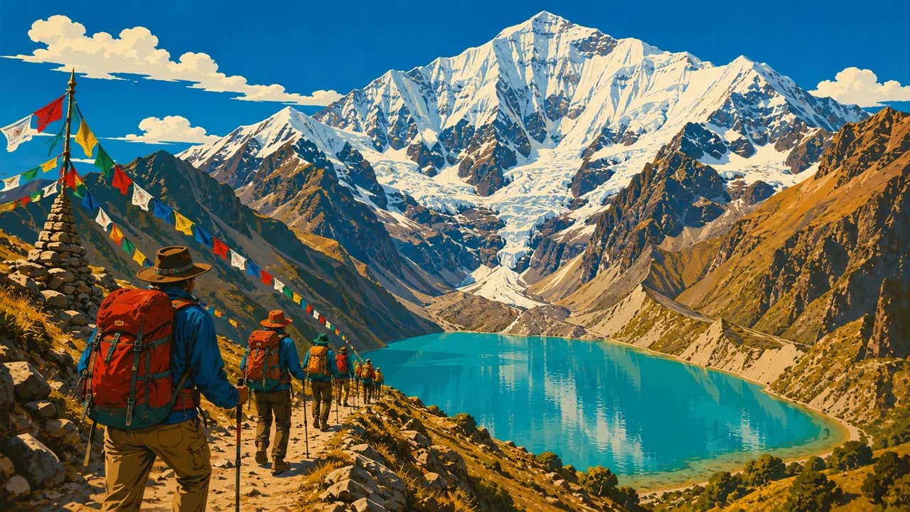
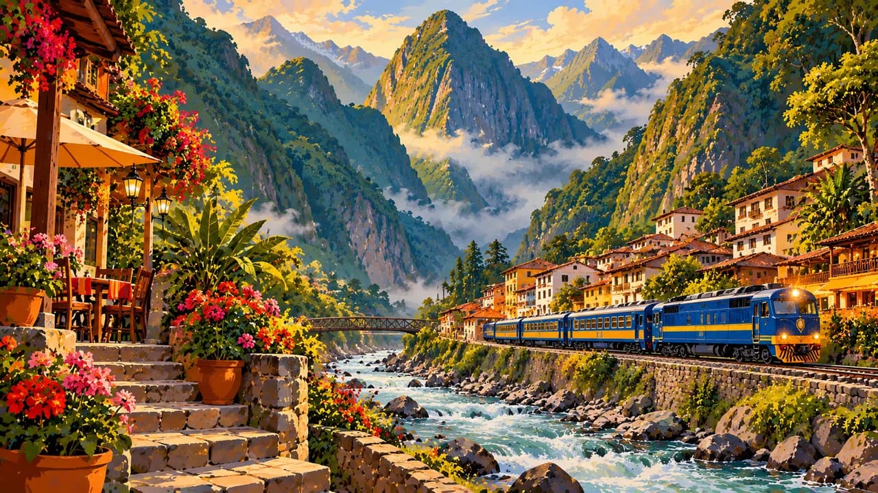
Cusco and the Sacred Valley around Ollantaytambo introduce Inca architecture, terraces and Andean village life. Machu Picchu rises above the Urubamba valley, commonly reached through Aguas Calientes by rail or on trekking routes such as the Inca Trail. Choquequirao offers another demanding archaeological trek, while Humantay Lake and Vinicunca reveal high mountain scenery. Arequipa's volcanic stone architecture, Colca Canyon and the communities around Puno and Lake Titicaca broaden the southern circuit.
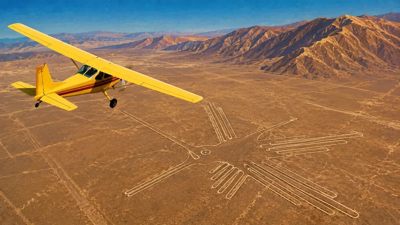
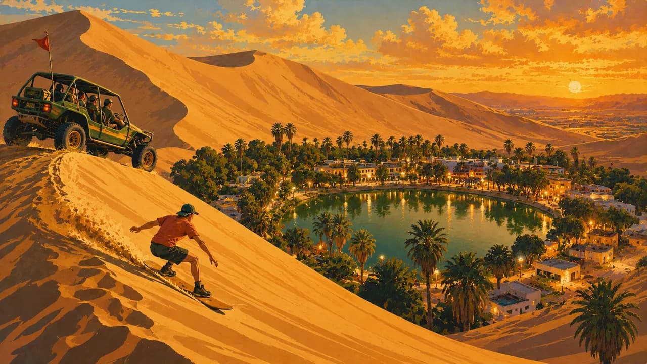
Along the coast, Paracas and the Ballestas Islands combine desert scenery with seabirds and sea lions. Huacachina lies among dunes, and the Nazca Lines reveal another chapter of ancient history. Caral, Trujillo's nearby adobe city of Chan Chan and the archaeological sites and museums around Chiclayo illuminate cultures predating the Inca. Máncora adds northern beaches, while Cajamarca and Ayacucho contribute historic streets, crafts and regional traditions.
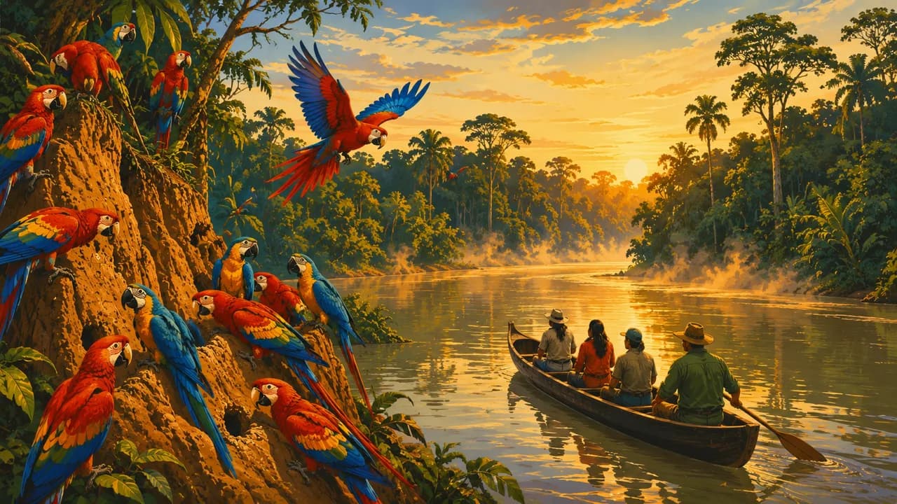
Huaraz is a base for the Cordillera Blanca and Huascarán National Park, with glaciated peaks and turquoise lakes. The Cordillera Huayhuash offers demanding multiday trekking. Around Chachapoyas, cloud forests and Kuélap reveal a different northern mountain landscape. Iquitos and Puerto Maldonado provide distinct gateways to Amazonian forests and rivers, including excursions to Pacaya-Samiria and Tambopata.
Ceviche, potatoes, quinoa and regional dishes connect coast, highlands and rainforest. Chifa and Nikkei cooking reflect Chinese and Japanese influences. Allow time for altitude adjustment and long transfers. Mountain weather and Amazonian water levels affect activities, while Machu Picchu entry routes and trekking permits require advance planning. Check current access conditions and choose responsible local operators.
AI edited
- 24
- Departments Peru has 24 departments. The Constitutional Province of Callao has its own regional status, while Lima Province also has special responsibilities. These exceptions are not counted as additional departments.
- 34.16 million
- Population Rounded from the first results of INEI's 2025 census, published in 2026, giving a total of 34,157,732 residents. This is a dated preliminary census figure, not a live count or a projection for 2026.
- ≈ 1,285,216 km²
- Area Rounded total area of Peru. Official figures can vary slightly by measurement date and definition. The country's scale and terrain mean long journeys between regions.
- Spanish
- Language Spanish is official nationwide. The Spanish flag here represents the language, not the destination country. Quechua, Aymara and other Indigenous languages are also official in areas where they predominate.
- Quechua & Aymara
- Other languages Quechua, Aymara and many other Indigenous languages are part of Peru's linguistic diversity. Their official status is territorial. English knowledge varies, and communication is not guaranteed everywhere, even in tourism.
- Sol (PEN)
- Currency The national currency is the Peruvian sol, commonly written S/. Card payments are not available everywhere. Carry cash for markets, smaller businesses and remote areas. Check exchange rates, fees and accepted payment methods.
- A · B · C
- Socket types A/B/C, generally 220 V at 60 Hz. A plug that fits does not ensure compatible voltage. An adaptor does not convert voltage.
- Lima
- Capital Lima is the capital and a major transport hub on the Pacific coast. Local time is the same nationwide. Long distances, mountains and rainforest require realistic transfer planning.
- Right-hand traffic
- Driving side Traffic drives on the right in Peru. Road quality, altitude and journey times vary considerably. Check weather-related closures and local traffic conditions before longer journeys.
- UTC−5
- Time zone All of Peru uses America/Lima at UTC−5, currently without seasonal clock changes. The displayed local time applies nationwide, but differences from your browser or home can change when those places change their clocks.
- 9
- UNESCO cultural sites Nine exclusively cultural UNESCO World Heritage properties, checked October 2026. Mixed properties Machu Picchu and Río Abiseo and natural properties are excluded.
Peru on the map

Map data: geoBoundaries (CC BY 4.0), © OpenStreetMap contributors (ODbL), Natural Earth
Climate and best time to travel
Peru's seasons vary considerably between the coast, Andes and Amazon. The central and southern coast is often warmer in the southern summer, while Lima frequently has cooler, misty days in the southern winter. The northern coast has different conditions, and heavy rain can disrupt travel, particularly during El Niño events. May to October is often drier in the Andes, but freezing nights, strong sun and rapid weather changes remain possible. High-altitude trekking depends on altitude, equipment, experience and current trail conditions. The Amazon receives rain throughout the year. Lower and higher river levels change boat routes, walks and wildlife viewing. Suggested months are guidance, not weather, wildlife or access guarantees. Plan Machu Picchu entry, visiting route and transport, and organised trekking permits in advance. Check current weather, road, trail and protected-area information before excursions.
Destinations in Peru
 AI generated
 AI generated
 AI generated
 AI generated
 AI generated
 AI generated
 AI generated
 AI generated
 AI generated
 AI generated
 AI generated
 AI generated