Venezuela
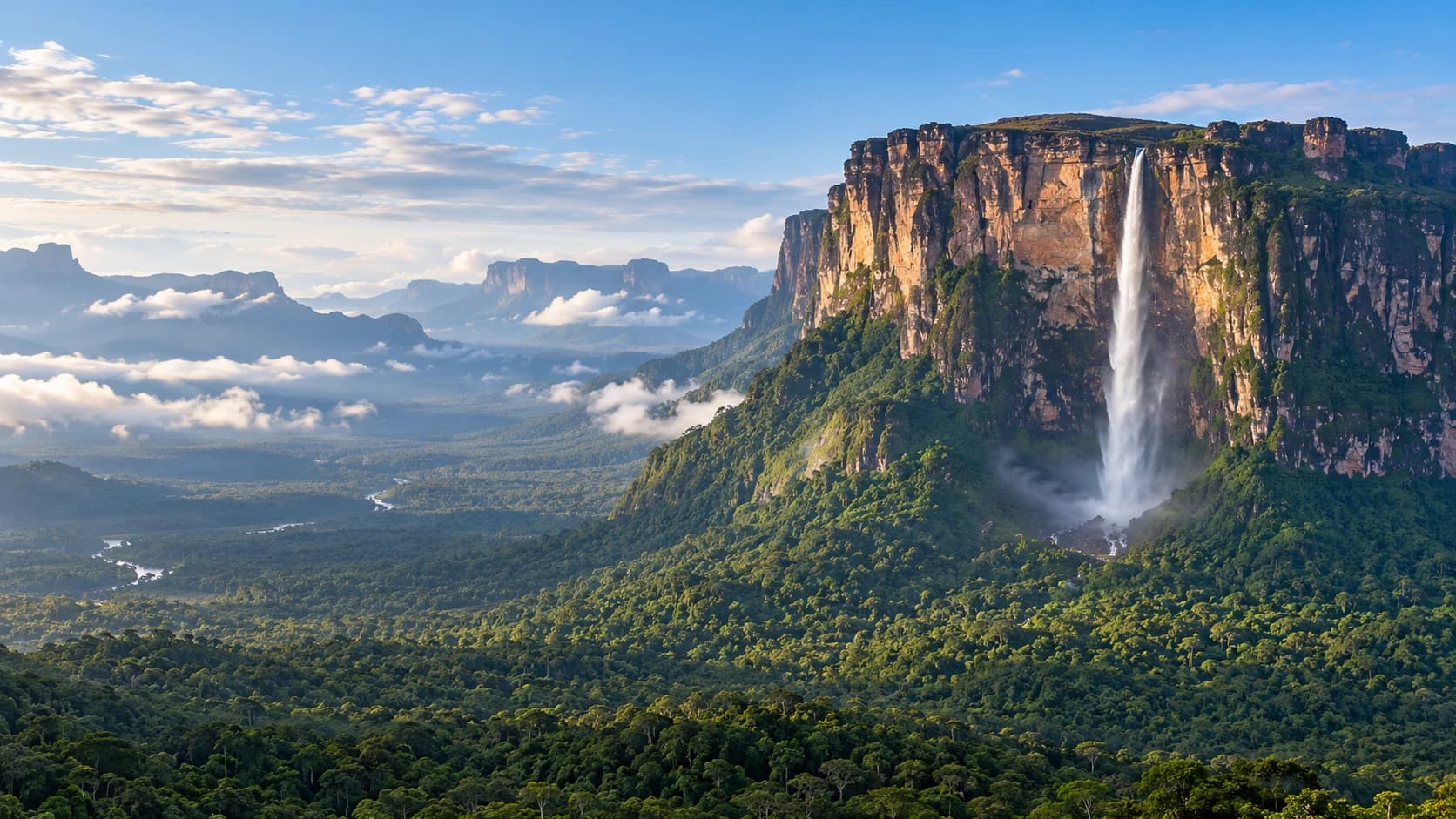
Caribbean islands, broad river plains and cool highlands meet table mountains, waterfalls and diverse regional cultures.
Worth coming back!
Wanderlama keeps growing with new destinations, helpful information and exciting features. Check back soon and discover what is new!
Travel to Venezuela
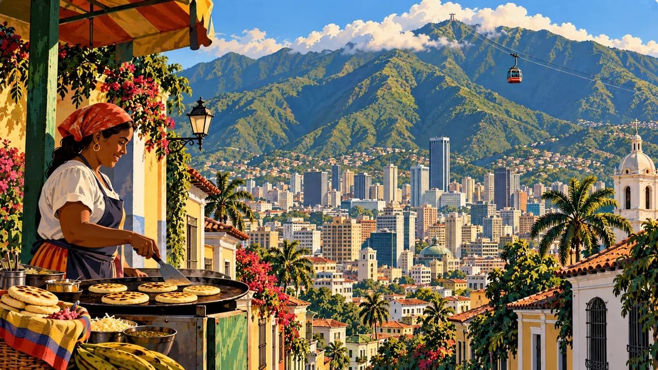
Venezuela combines Caribbean coasts, Andean highlands, river plains and the table mountains of the Guiana Shield in northern South America. The capital Caracas adds museums, modern architecture and the mountain backdrop of Waraira Repano.
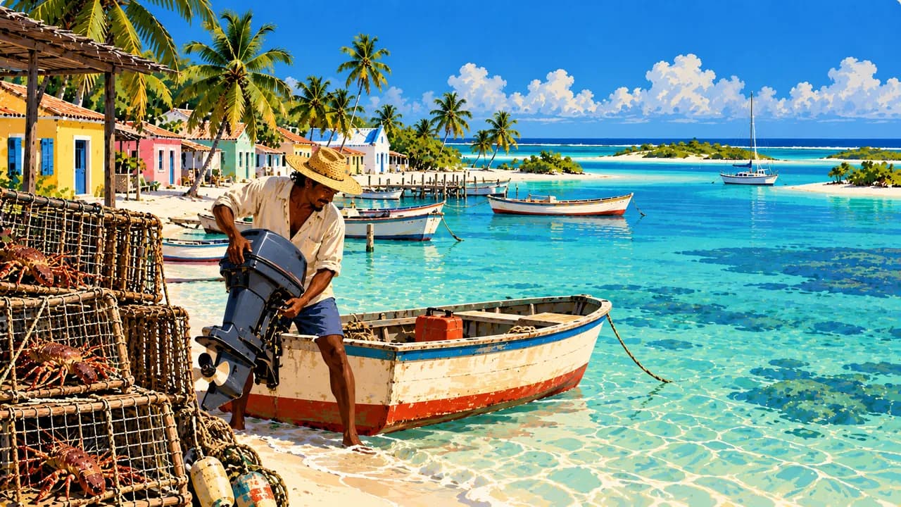
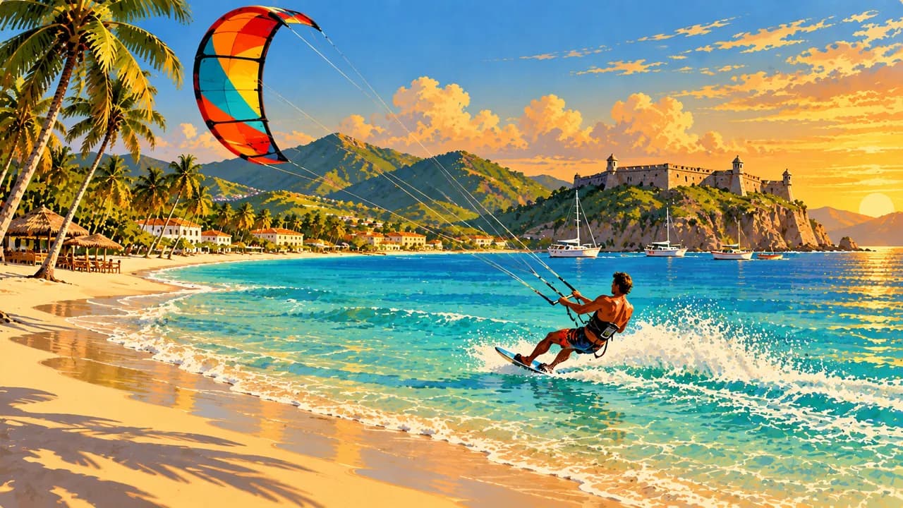
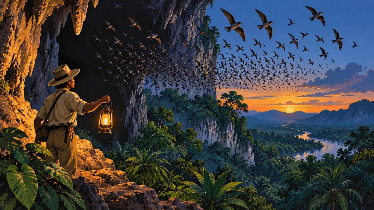
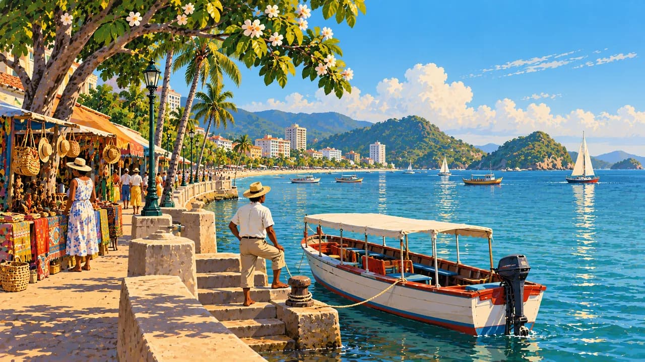
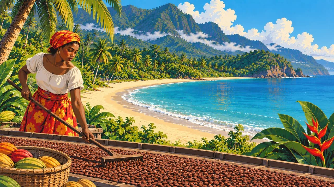
Los Roques offers coral islands and shallow lagoons, while Isla Margarita combines coastal towns with beaches. Morrocoy and Mochima add mangroves, islands and sheltered bays. Around Choroní, Henri Pittier National Park connects coastal scenery with forest and birdlife. Colonia Tovar reflects German migration heritage in the cooler coastal mountains. Farther east, the Paria Peninsula has cacao traditions, and Cueva del Guácharo shelters nocturnal oilbirds.
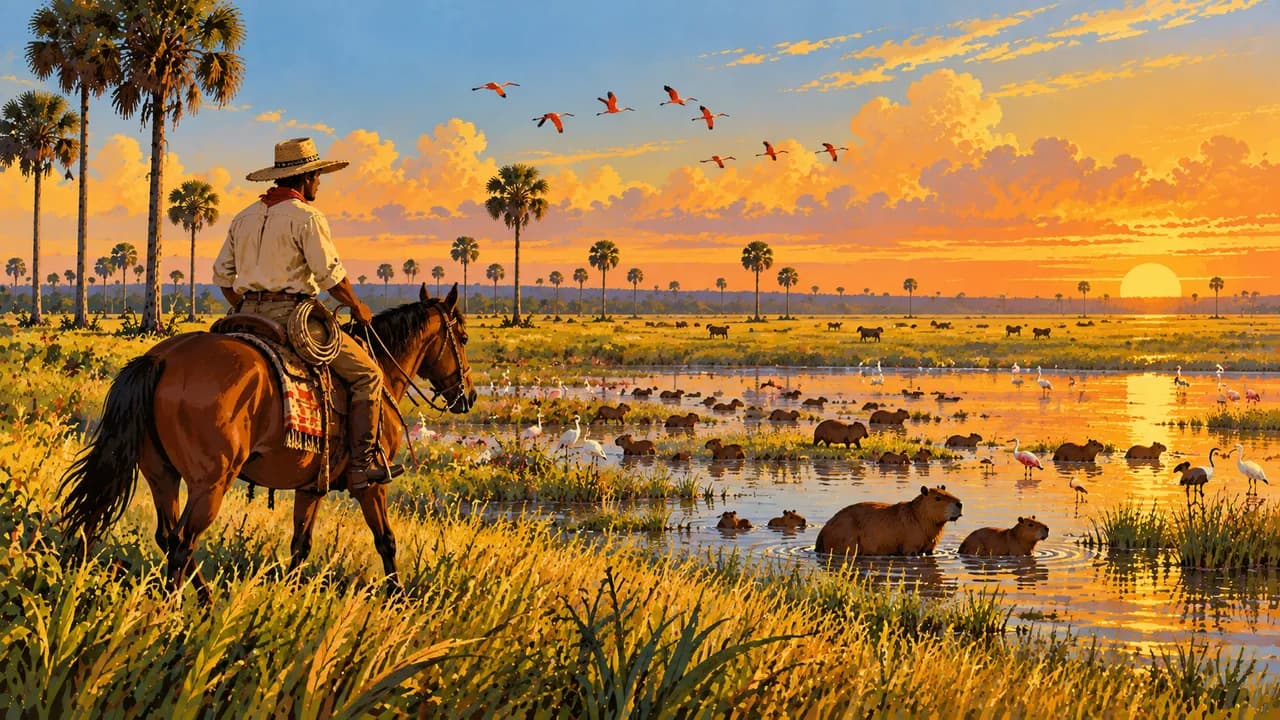
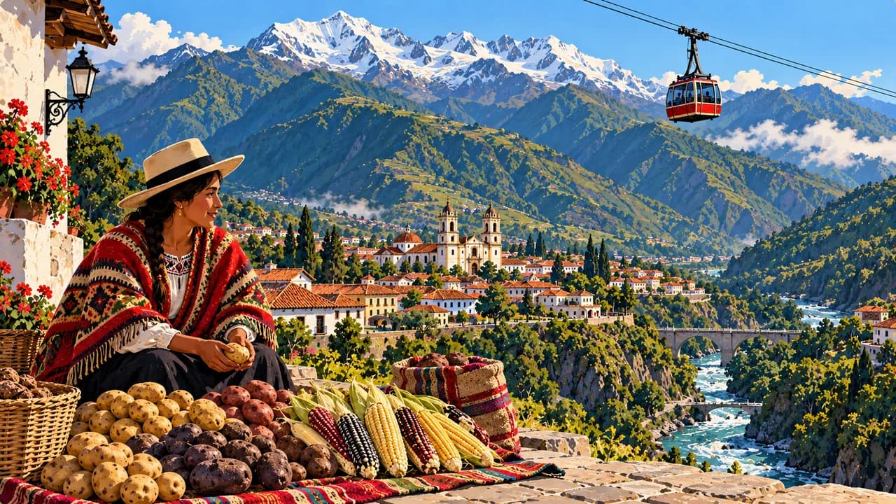
In the west, Mérida introduces Andean towns and high páramo landscapes, where weather and altitude shape any outdoor plans. Coro and its port preserve earthen colonial architecture. The seasonally flooded grasslands of Los Llanos are associated with cattle-ranching culture, joropo music and wildlife such as capybaras and waterbirds. Encounters depend on conditions and are never guaranteed.
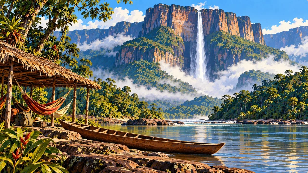
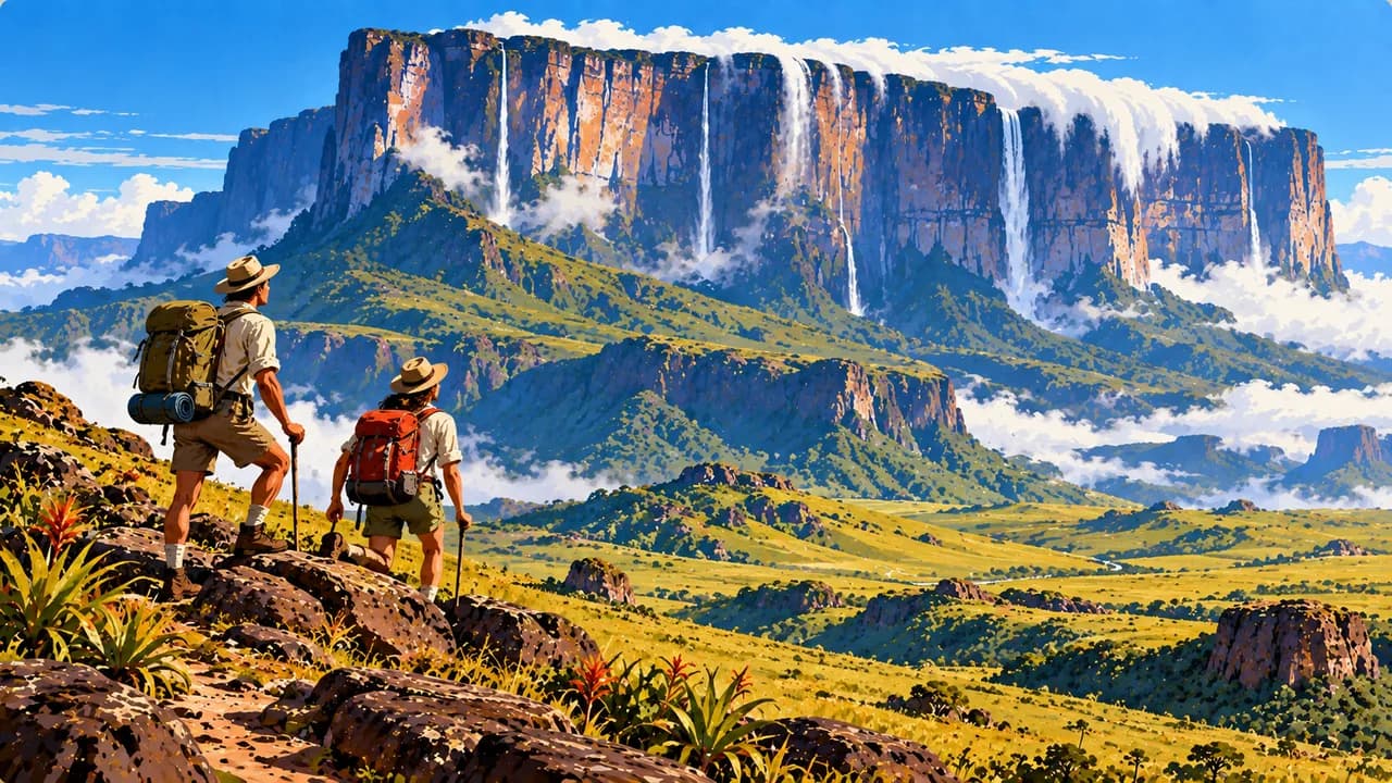
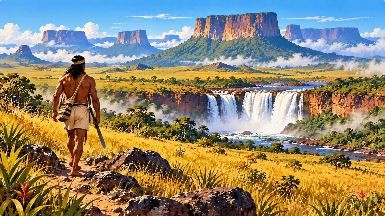
Ciudad Bolívar contributes riverside history on the Orinoco. Farther south, Canaima National Park contains waterfalls including Salto Ángel and landscapes of ancient tepuis. The Gran Sabana and Mount Roraima add open grasslands and plateau scenery. The Orinoco Delta has river channels, wetlands and Warao communities, while Pemón communities are central to the cultural landscape around Canaima. Community visits require consent and respectful local arrangements.
Food includes arepas, cachapas, empanadas and pabellón criollo, alongside coastal fish and regional cacao. Rainfall and river levels affect boat journeys and waterfall access. Remote itineraries require reliable specialist arrangements, transport confirmation and protected-area permissions. Long transfers and changing services need realistic planning.
AI edited
- Joropo
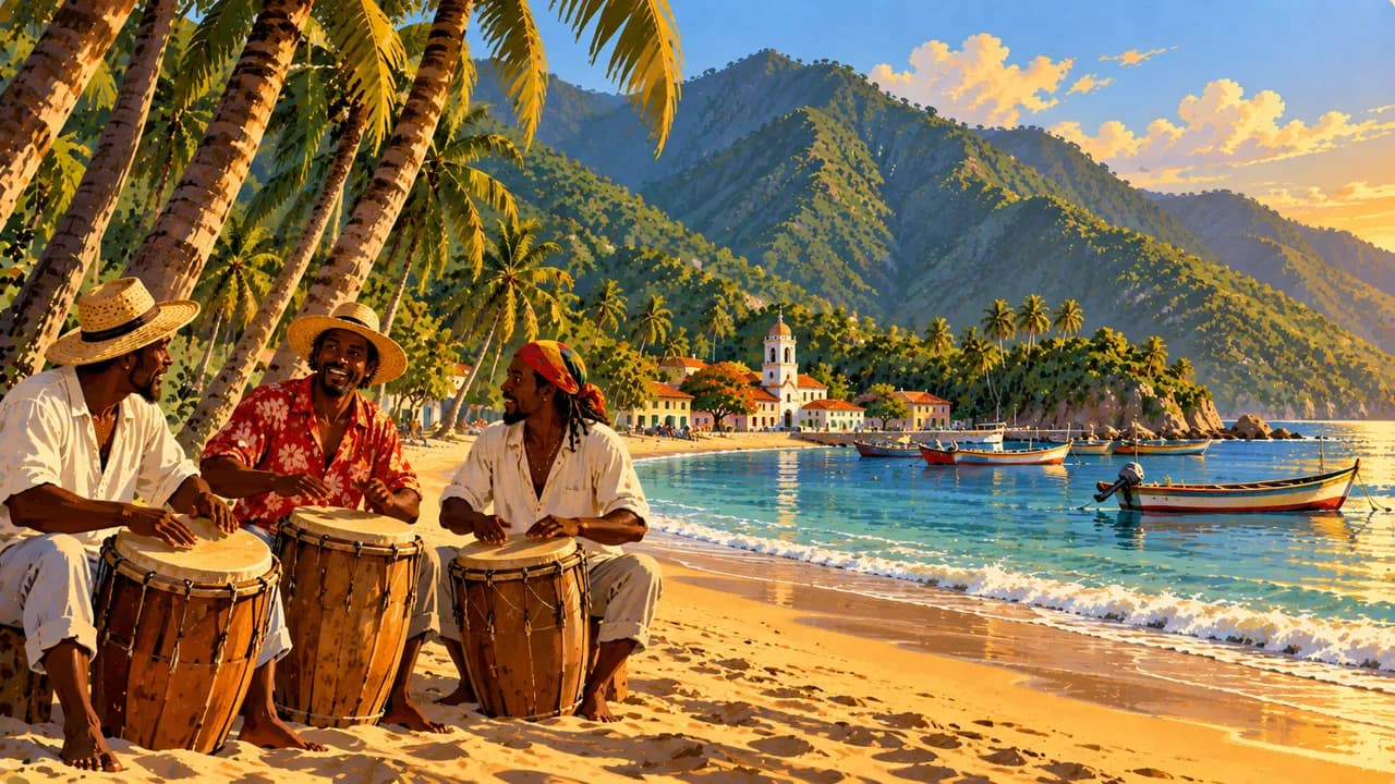
- Music & dance tradition Joropo combines music, singing and dance. It is UNESCO intangible heritage, not part of the World Heritage count shown here.
- 28.5 million
- Population Rounded population estimate for 2025 from UNFPA's 2025 State of World Population report. This is not a new census or live count. Migration and different estimation methods can produce differing figures.
- ≈ 916,400 km²
- Area Rounded from 916,445 km² in national reporting submitted to UNFCCC. Area statistics differ by measurement method. This figure does not endorse territorial claims or imply tourist access.
- Spanish
- Language Spanish is the general official language. Indigenous languages also have official status for indigenous peoples. The Spanish flag represents the language here, not the destination country.
- Indigenous languages
- Other languages These include Wayuunaiki, Warao and Pemón languages. Usage and language knowledge vary between communities and regions. English should not be assumed everywhere.
- Bolívar (VES)
- Currency The national currency is the bolívar. Prices, accepted payment methods and cash availability can change.
- A · B
- Socket types Common types are A and B, with 120 volts and 60 hertz. Check device specifications and adapter requirements. A travel adapter converts neither voltage nor frequency.
- Caracas
- Capital Caracas is the capital. Country time is calculated using America/Caracas, with one regular national time zone.
- Right-hand traffic
- Driving side Traffic drives on the right.
- UTC−4
- Time zone Venezuela uses UTC−4 year-round without seasonal clock changes. The clock compares country time with browser time and a saved home location.
- 2
- UNESCO cultural sites UNESCO lists two cultural properties for Venezuela, Coro and its Port and the Ciudad Universitaria de Caracas. Canaima is natural heritage and excluded. Joropo is intangible heritage. Checked in October 2026.
Venezuela on the map

Map data: geoBoundaries (CC BY 4.0), © OpenStreetMap contributors (ODbL), Natural Earth
Climate and best time to travel
Many northern and Andean areas often have a drier period around December to March, while southern regions have different rainfall patterns. Coastal heat, trade winds, altitude and local rain produce substantial variation. In Canaima, rainfall, visibility and river levels affect waterfalls and boat connections. Seasonal flooding transforms Los Llanos, while the Orinoco Delta remains a river and wetland system. Weather windows guarantee neither wildlife sightings nor available flights, open routes or safe stays. Remote plans require permitted access, reliable specialist arrangements and medical contingency planning.
Destinations in Venezuela
 AI generated
 AI generated
 AI generated
 AI generated
 AI generated
 AI generated
 AI generated
 AI generated
 AI generated
 AI generated
 AI generated
 AI generated