Bolivia
Wuliwya · Volívia · Buliwya
Vast salt landscapes, high Andean peaks and tropical forests meet ancient cultures, living traditions and varied regional food.
Worth coming back!
Wanderlama keeps growing with new destinations, helpful information and exciting features. Check back soon and discover what is new!
Travel to Bolivia
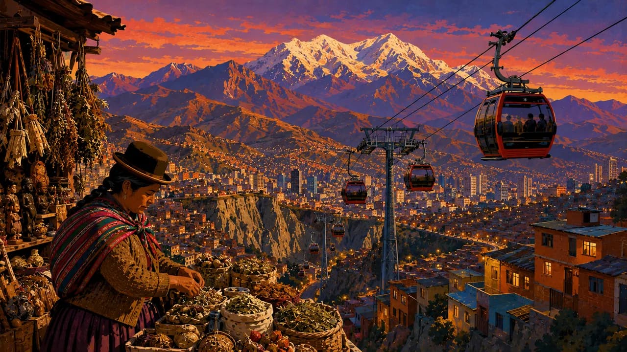
Bolivia brings together the Andean Altiplano, fertile valleys and extensive tropical lowlands in the heart of South America. Indigenous languages, textile traditions, markets and festivals shape everyday life alongside colonial heritage and contemporary cities. Sucre is the constitutional capital, while La Paz is the seat of government, with cable cars connecting its steep neighbourhoods and neighbouring El Alto.
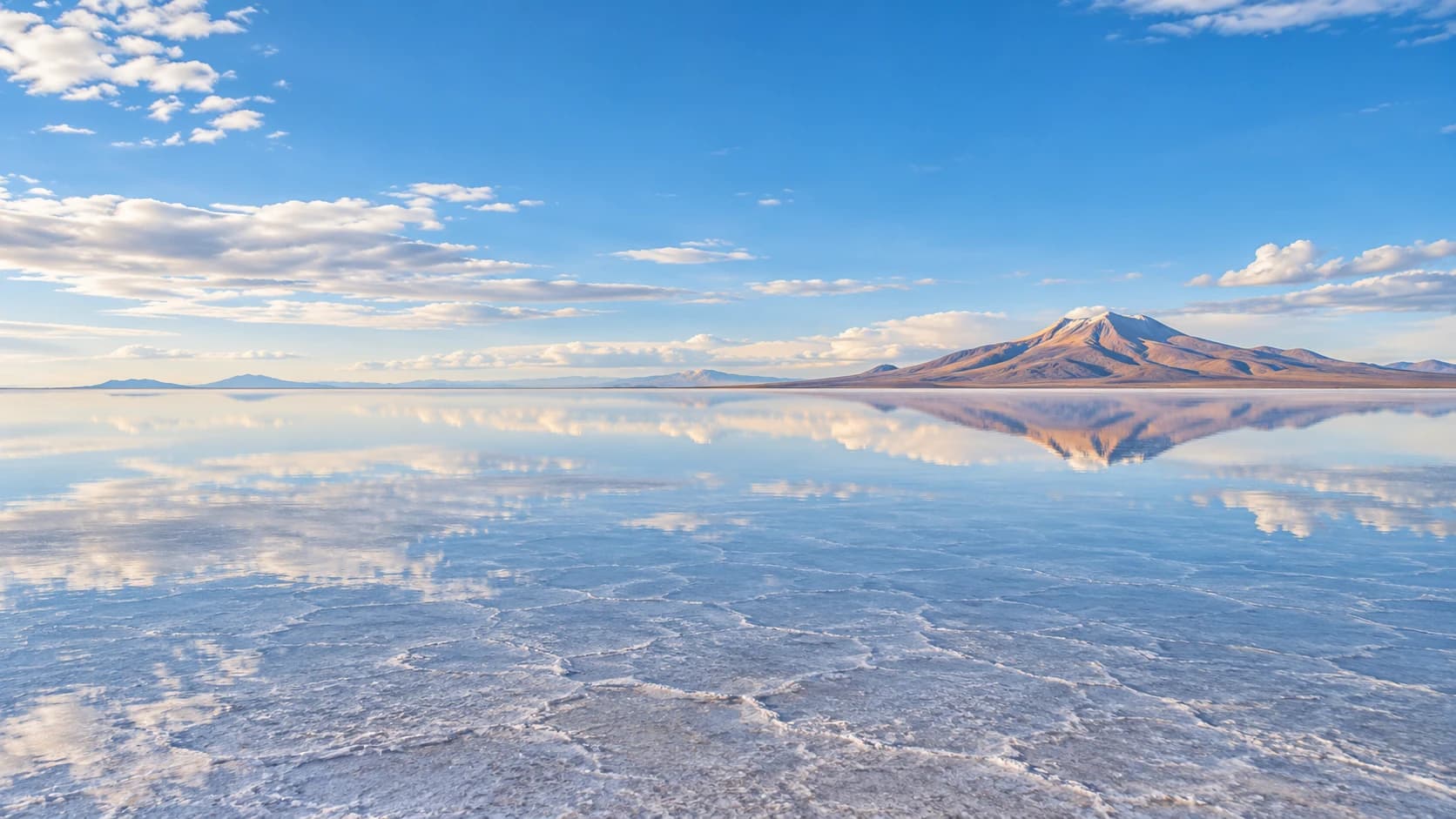
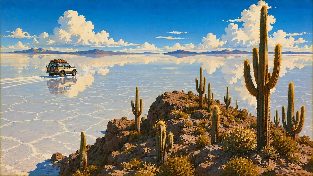
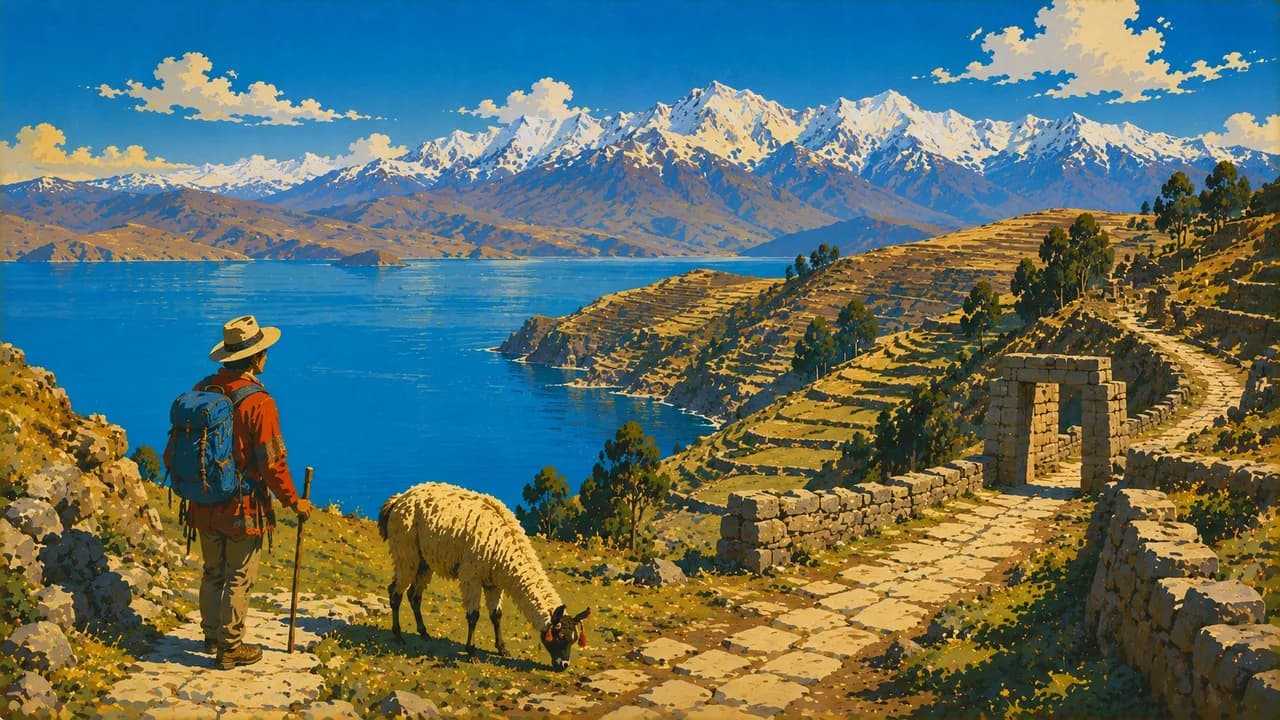
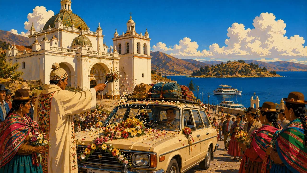
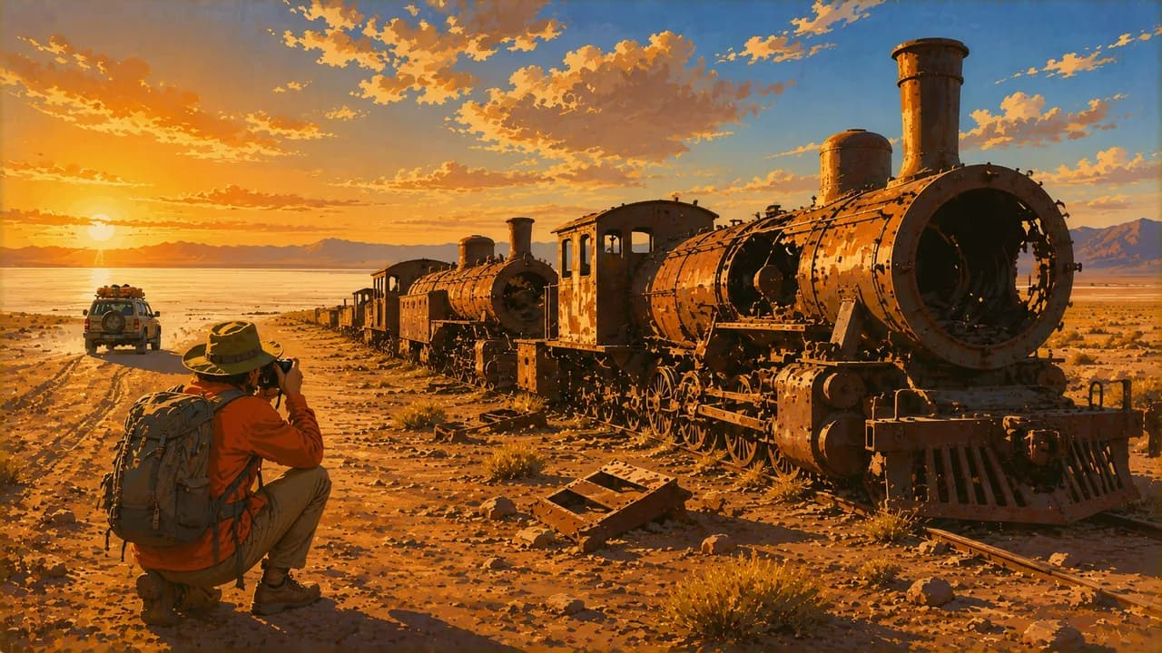
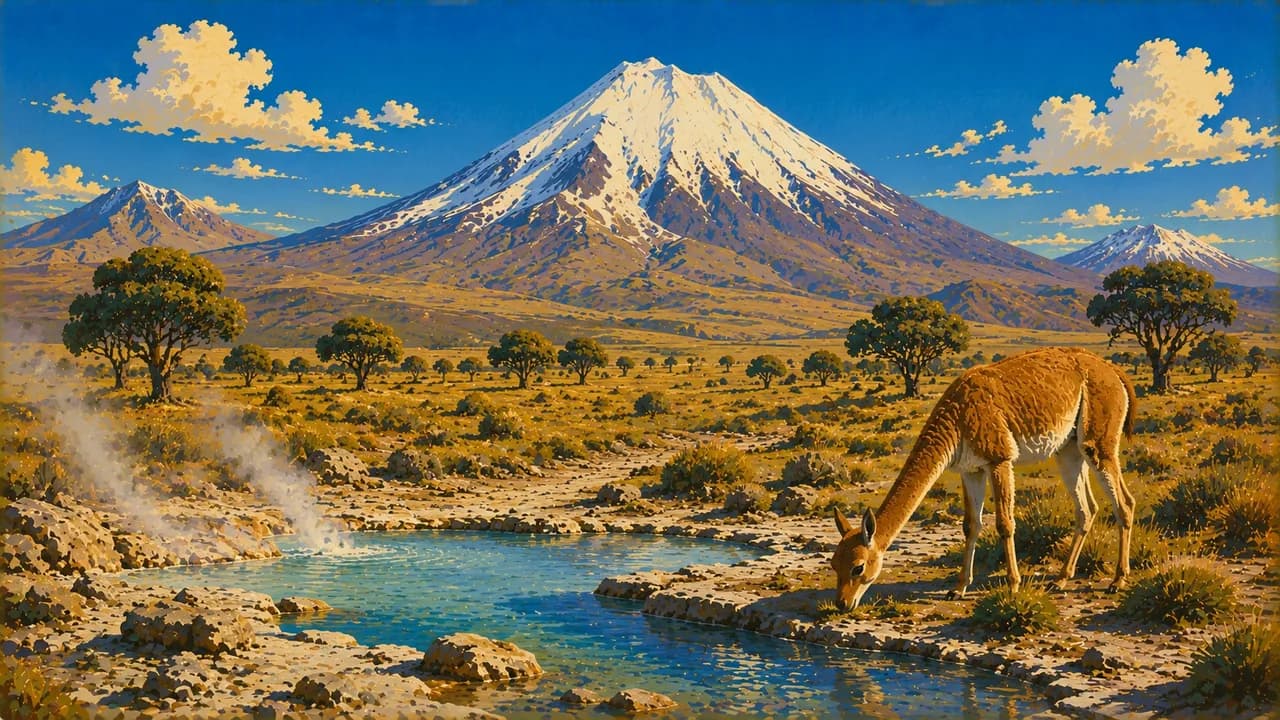
From Uyuni, the Salar de Uyuni opens into an immense salt landscape. A shallow covering of water can create its famous mirror effect, but rainfall also changes access and routes. Further southwest, coloured lagoons, volcanic scenery and geysers extend towards the Chilean border. Sajama National Park adds high mountains and Andean wildlife. Around Lake Titicaca, Copacabana and Isla del Sol combine lakeside landscapes with living spiritual traditions. Tiwanaku reveals a major civilisation predating the Inca.
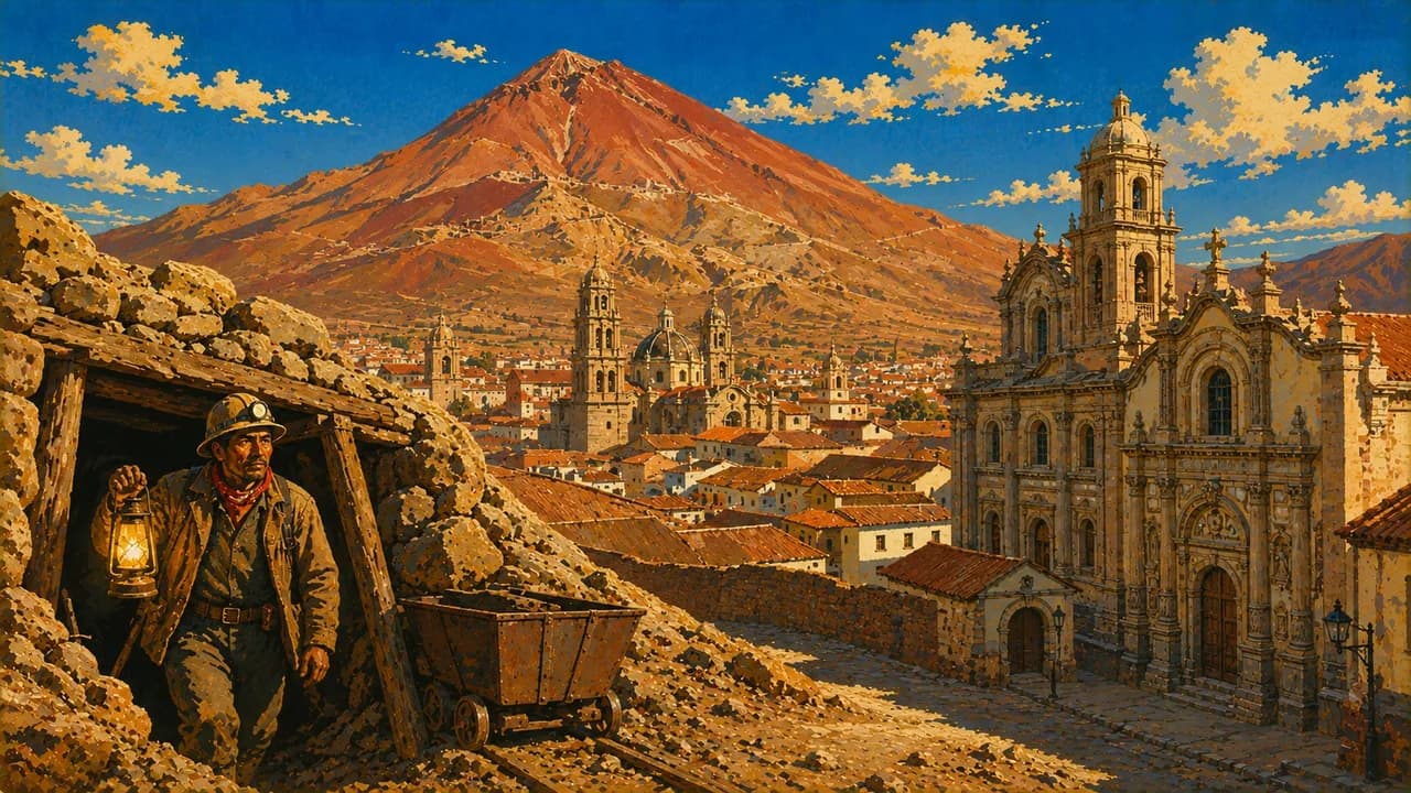
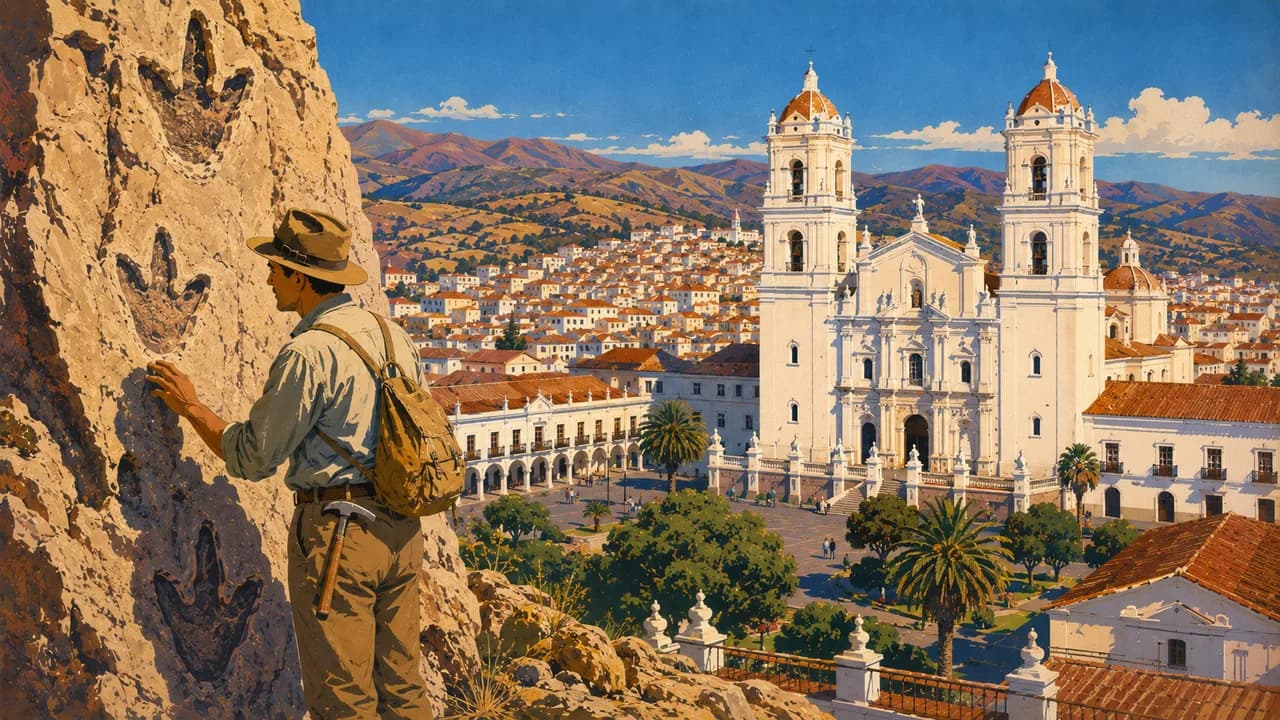
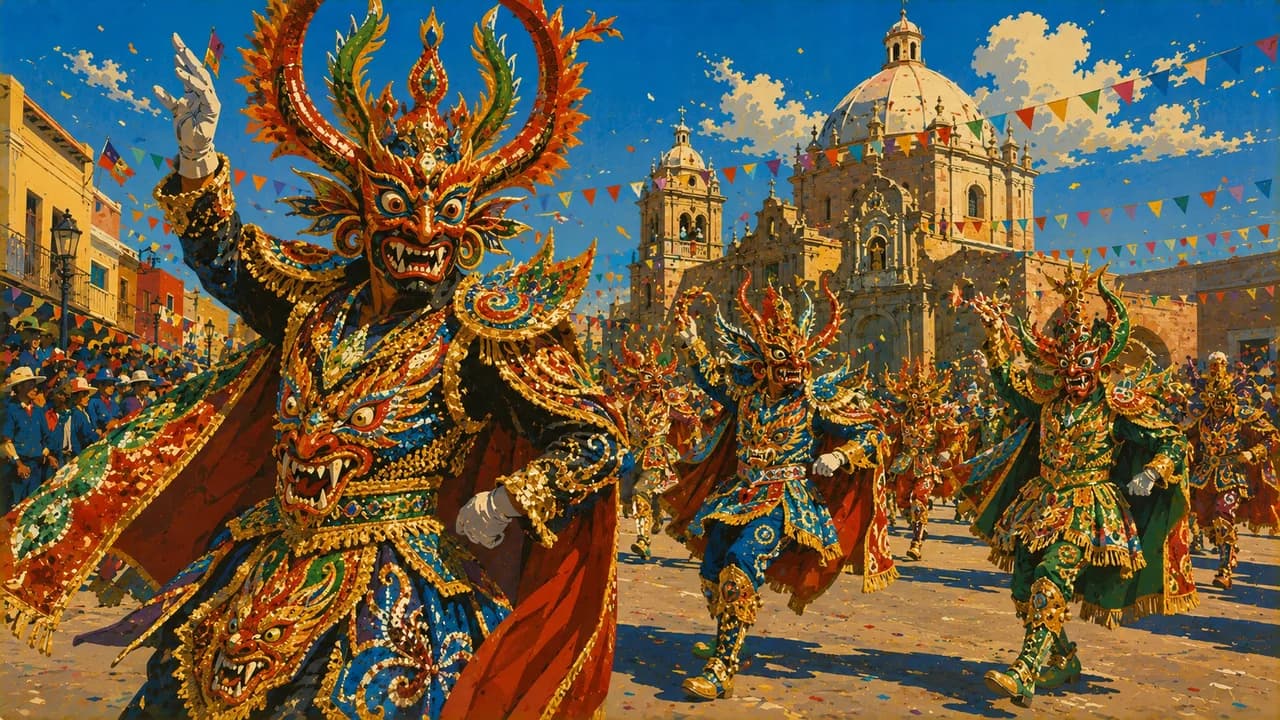
Sucre's historic streets and Potosí's churches and mint illuminate colonial history, including the exploitation behind Cerro Rico's silver wealth. Oruro is known for its carnival's music, dance and elaborate costumes. Cochabamba introduces fertile valleys and regional food, while Torotoro National Park combines dinosaur footprints, caves and canyons.
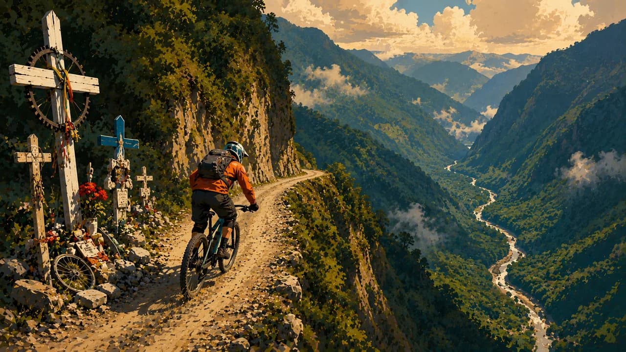
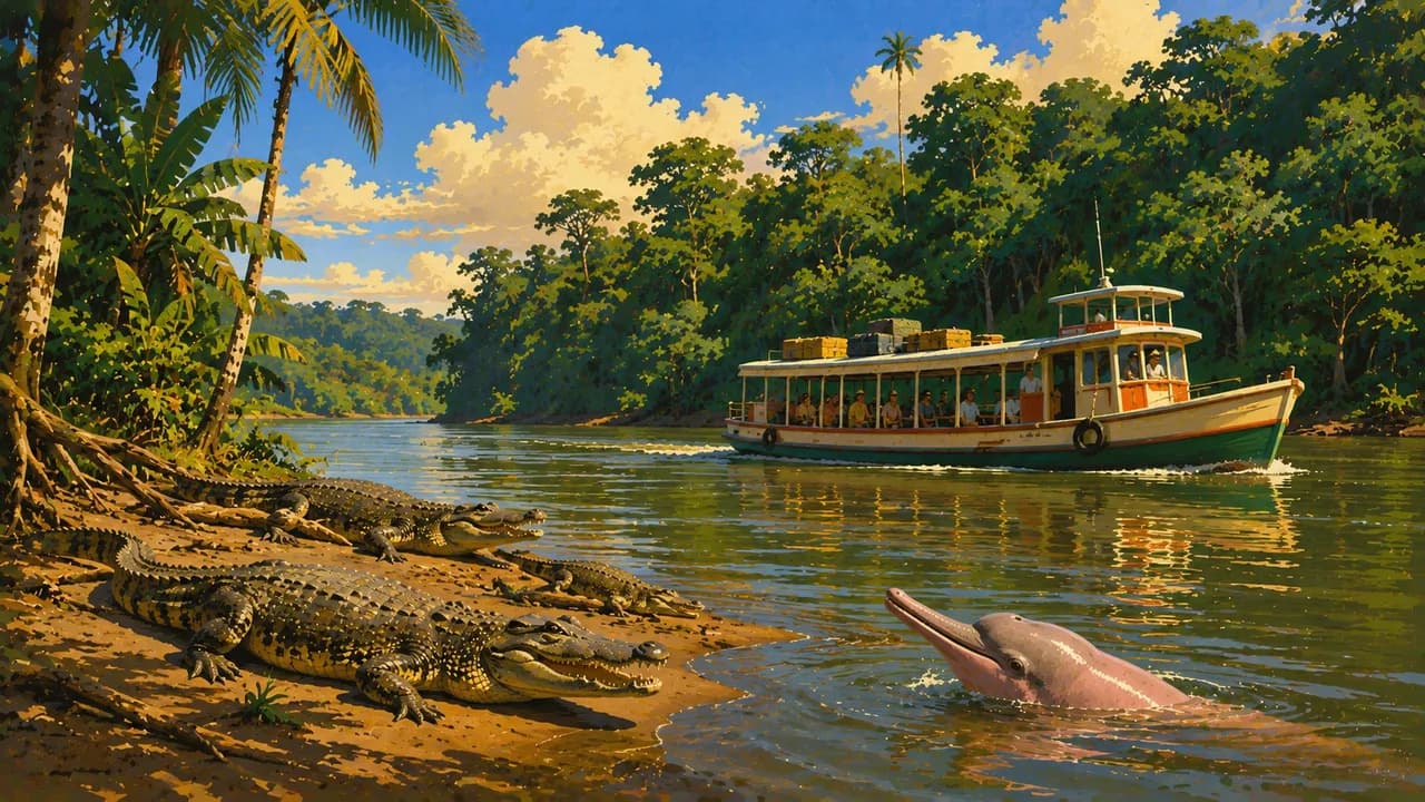
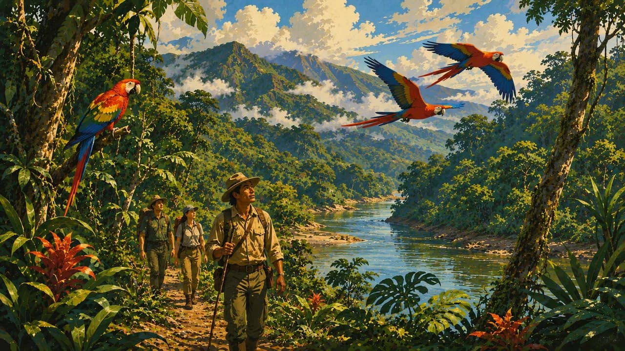
Santa Cruz de la Sierra provides a different urban gateway to the eastern lowlands. Samaipata combines a milder mountain setting with the carved rock of El Fuerte, and the Chiquitos missions preserve distinctive churches and musical traditions. In the north, Rurrenabaque is a base for rainforest excursions into Madidi and separate wildlife trips to the surrounding pampas. The Yungas offer cloud-forest landscapes, with guided cycling on the old road commonly called Death Road requiring careful operator selection and suitable conditions.
Salteñas, potatoes, quinoa and regional dishes reflect the contrasts between highlands, valleys and lowlands. Allow time for altitude adjustment and long journeys. Rain, river levels, cold nights and road conditions can alter plans. Check local access rules and choose responsible guides who respect wildlife and community customs.
AI edited
- 9
- Departments Bolivia consists of nine departments. These administrative units are distinct from the three broad landscape zones of Altiplano, valleys and lowlands.
- 11.37 million
- Population Rounded from the final INE 2024 census results of 11,365,333 counted residents, published in 2025. This is not a current live figure or a population projection for 2026.
- 1,098,581 km²
- Area Total area according to Bolivia's national statistical institute INE. High mountains, valleys and extensive lowlands mean that journey distances and travel times vary greatly.
- Spanish
- Language Spanish is one of the official languages and a widely used language of communication. The Spanish flag here represents the language. The Constitution also recognises the languages of Indigenous nations and peoples as official.
- Quechua & Aymara
- Other languages Constitutionally recognised Indigenous official languages include Quechua, Aymara, Guaraní and many others. Usage and distribution vary by region. This does not mean every language is spoken everywhere. English knowledge varies.
- Boliviano (BOB)
- Currency The national currency is the boliviano, often written Bs. Card payments and cash access are not reliably available everywhere. Plan ahead for remote places and check fees, exchange conditions and accepted payment methods.
- A · C
- Socket types A/C, generally 230 V at 50 Hz. Check device ratings and local supply. An adaptor does not convert voltage.
- Sucre
- Capital Sucre is the constitutional capital, while La Paz is the seat of government. Both cities and the entire country share the same local time. This distinction is also important when planning travel.
- Right-hand traffic
- Driving side Generally right-hand traffic. Observe local exceptions and signs, particularly on mountain roads.
- UTC−4
- Time zone All of Bolivia uses America/La_Paz at UTC−4, currently without seasonal clock changes. Local time applies nationwide. Differences from your browser or home can change when those places change their clocks.
- 6
- UNESCO cultural sites Six cultural UNESCO World Heritage properties, checked October 2026. Natural heritage such as Noel Kempff Mercado and intangible heritage such as Oruro’s carnival are excluded.
Bolivia on the map

Map data: geoBoundaries (CC BY 4.0), © OpenStreetMap contributors (ODbL), Natural Earth
Climate and best time to travel
Bolivia's seasons differ by altitude and region. Many highland areas are often drier from May to October, with very cold nights and rapid weather changes. Shallow water can produce reflections on the Salar de Uyuni in the rainy season. This is not guaranteed and may also restrict access, island visits and driving routes. The tropical lowlands can experience rain, heat, changing river levels and occasional cold fronts. Drier months do not guarantee freedom from wildfires or smoke. Current weather, road and protected-area information is essential for excursions. Consider altitude, experience and equipment for mountain walks. Rainforest and pampas are different excursion areas. Choose responsible operators and do not feed or touch wildlife. Suggested months are guidance, not weather, wildlife or access guarantees. Check festival dates, cave access and local guiding requirements separately.
Destinations in Bolivia
 AI generated
 AI generated
 AI generated
 AI generated
 AI generated
 AI generated
 AI generated
 AI generated
 AI generated
 AI generated
 AI generated
 AI generated