Suriname
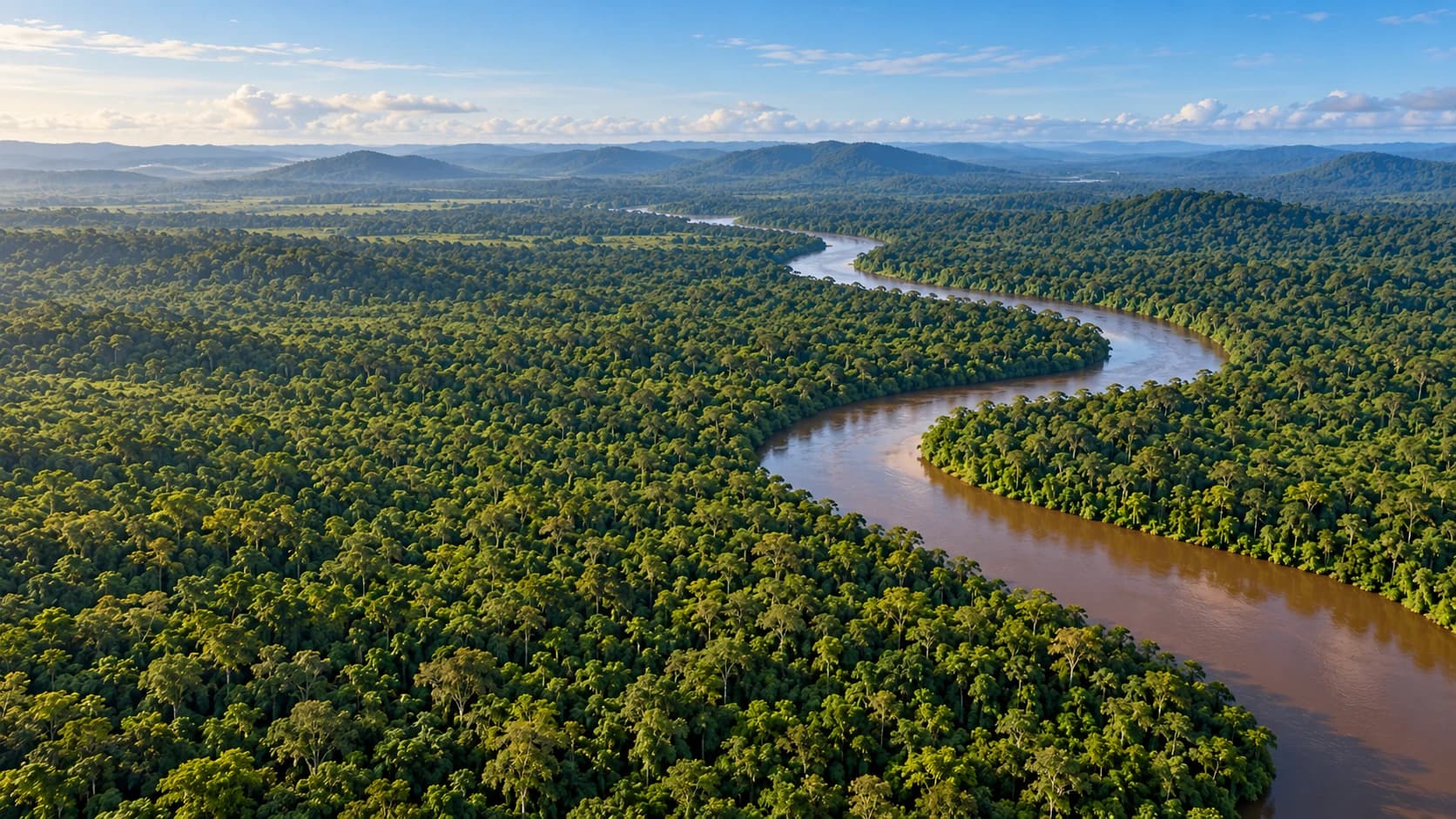
Rainforests, river landscapes and wooden heritage meet living traditions and a richly varied cuisine.
Worth coming back!
Wanderlama keeps growing with new destinations, helpful information and exciting features. Check back soon and discover what is new!
Travel to Suriname
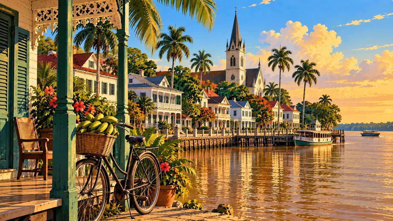
Suriname is South America's smallest independent country by area, on the Atlantic coast between Guyana and French Guiana. Dutch is the official language, alongside Sranan Tongo and other community languages. Paramaribo's UNESCO-listed historic centre combines wooden architecture, the Waterkant waterfront and Fort Zeelandia with markets, a mosque and a neighbouring synagogue.
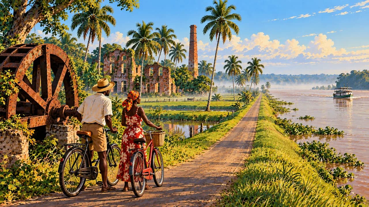
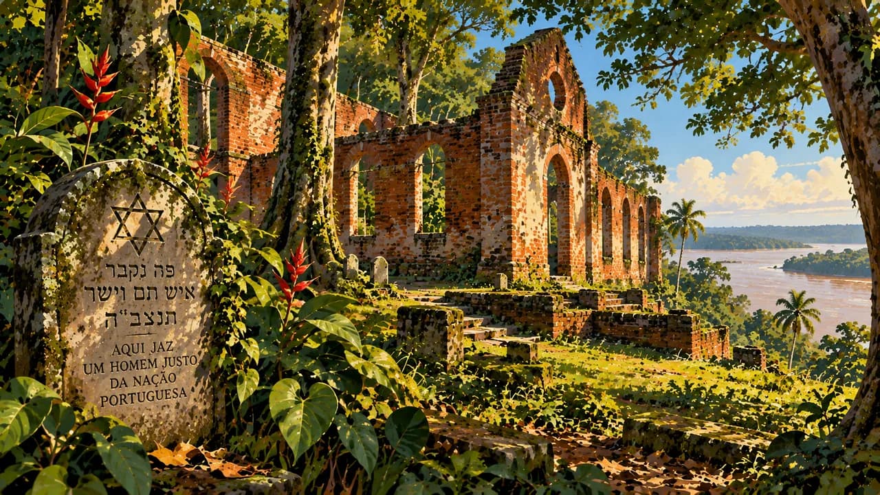
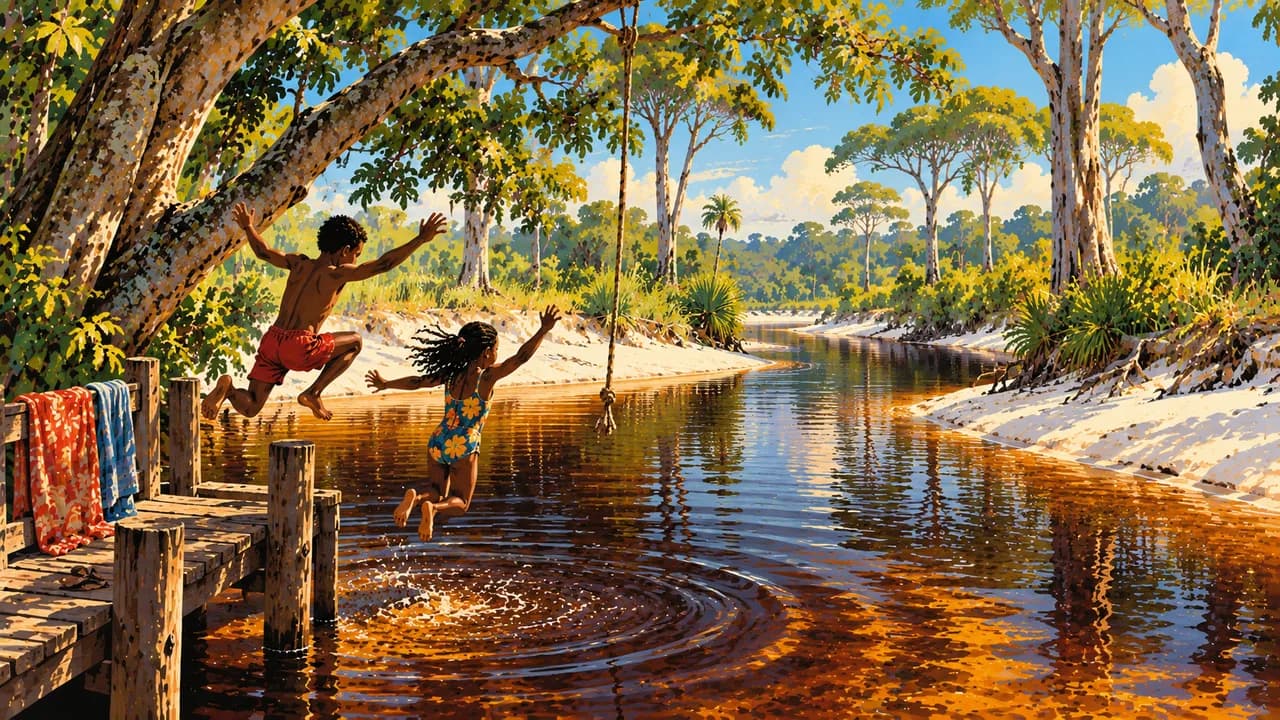
Across the river, Commewijne's former plantations and Fort Nieuw Amsterdam illuminate colonial trade and the history of slavery. Jodensavanne and Cassipora Creek Cemetery form another UNESCO site, recording Jewish settlement within a slave society. Colakreek adds a contrasting landscape of dark-water creeks and savanna.
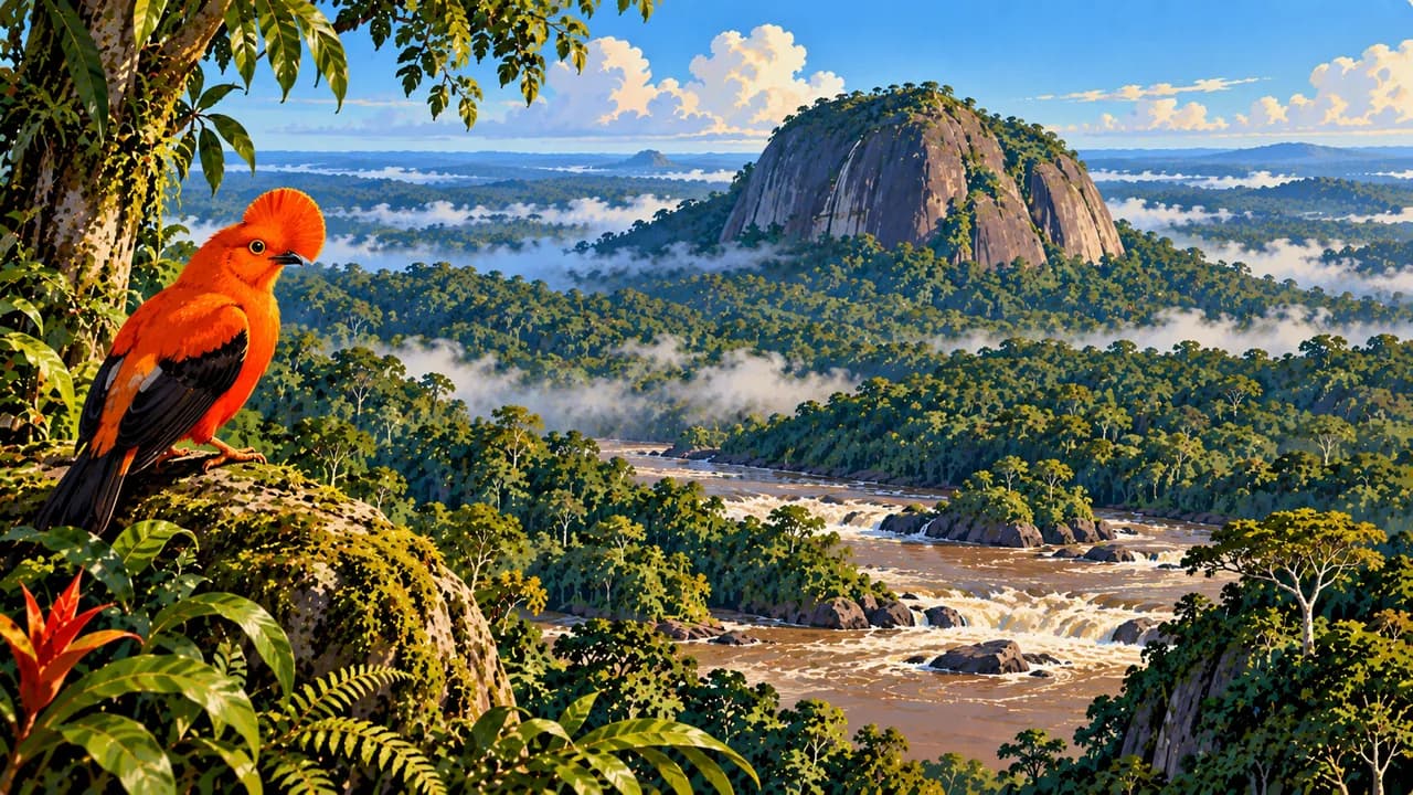
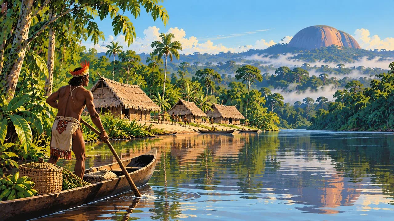
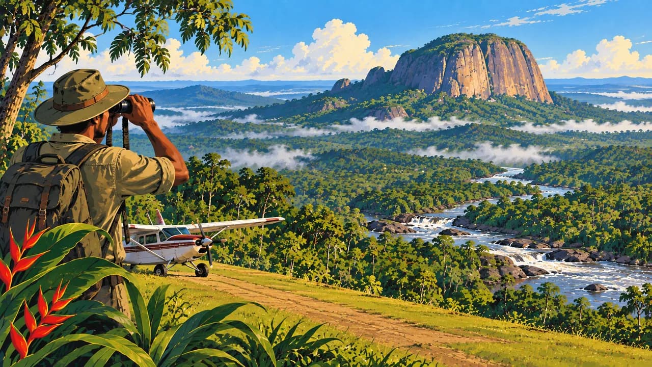
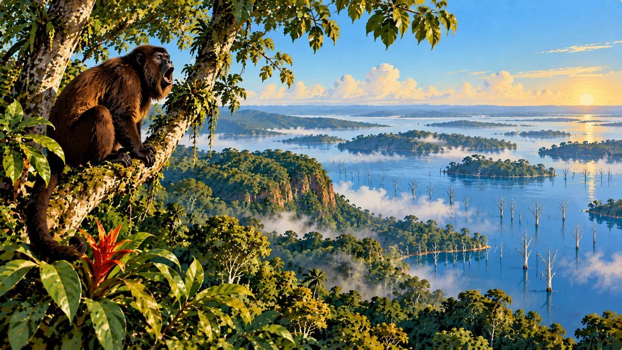
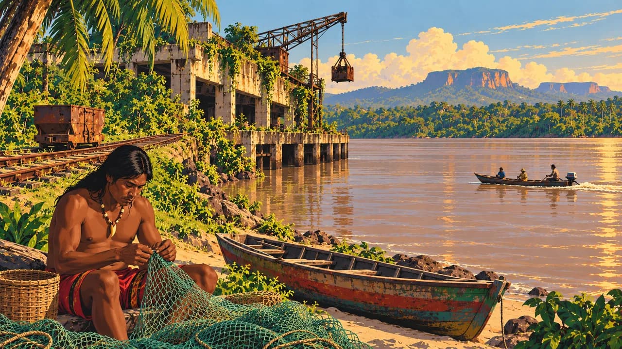
Inland, Brownsberg offers forest trails and views over the Brokopondo reservoir, whose creation displaced Maroon communities. The Central Suriname Nature Reserve protects extensive rainforest, including Raleighvallen's rapids and the granite dome of Voltzberg. Along the Upper Suriname River, Maroon communities maintain distinct living traditions. Palumeu introduces another river region and Indigenous communities, while Kabalebo offers remote forest stays. Arrange local guidance and community consent rather than assuming villages are open attractions.
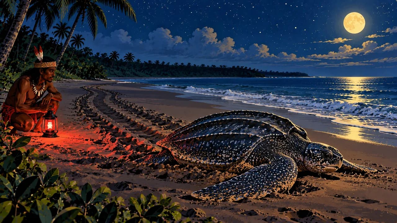
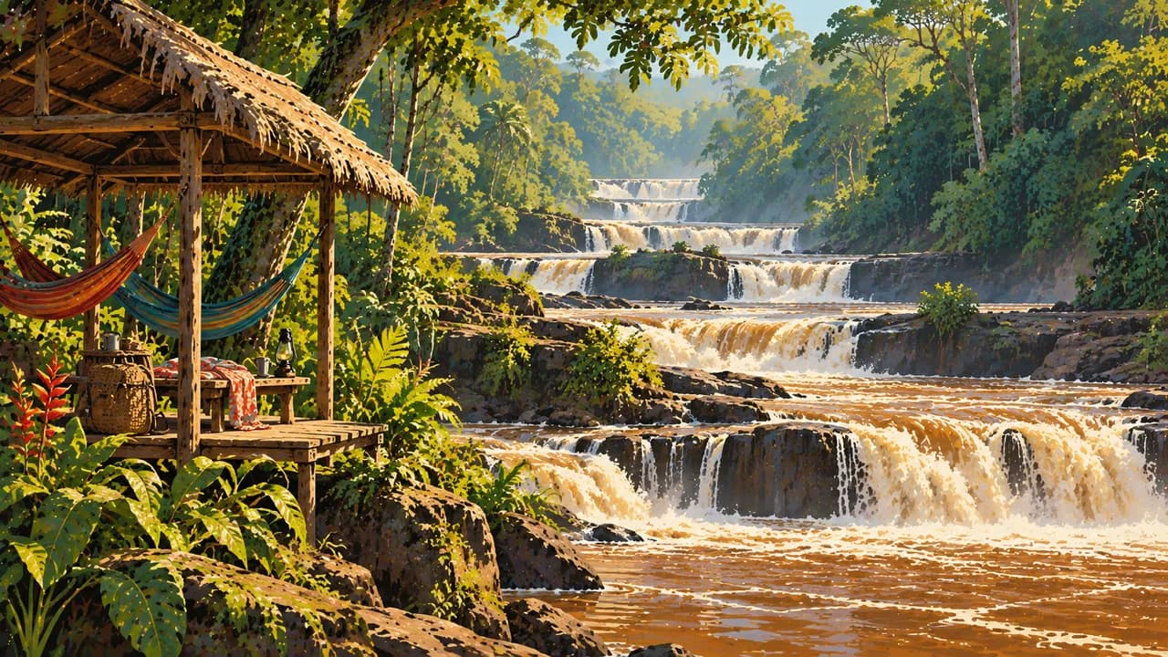
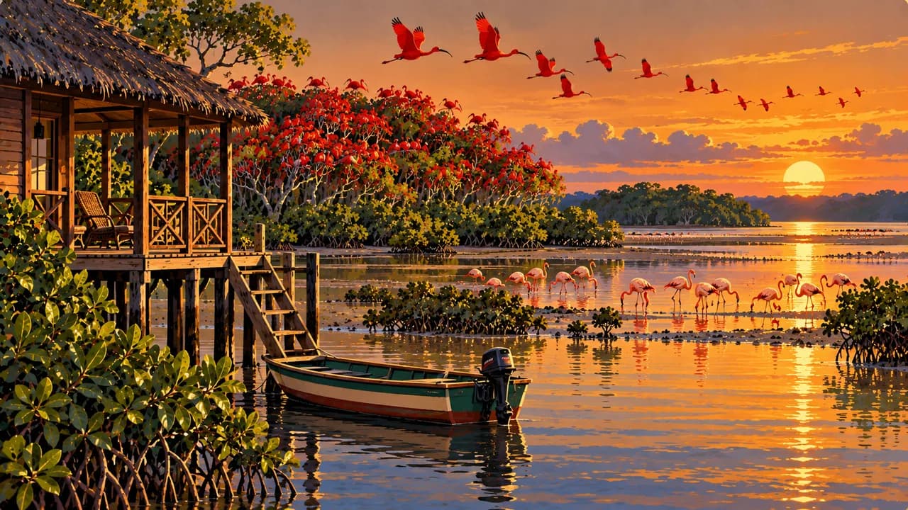
In the west, Nieuw Nickerie lies among rice-growing landscapes near Bigi Pan's mangroves and bird-rich wetlands. Apoera and the Blanche Marie waterfalls offer other perspectives on the western interior. In the east, Albina is a river gateway towards Galibi, where Indigenous culture and protected sea-turtle nesting beaches meet. Nesting is seasonal, sightings are not guaranteed, and visits must follow local conservation rules.
Indigenous, Maroon, Creole, Hindustani, Javanese and Chinese traditions shape contemporary Suriname, including cooking with roti, pom, saoto soup and cassava. Roads mainly serve the coastal belt, while interior journeys may require riverboats or small aircraft. Rainfall, river levels and road conditions affect access and schedules. Wildlife encounters and access to individual sites are never assured. Interior river journeys and changing water levels make contingency time part of regional travel.
AI edited
- 10
- Administrative districts The ten districts are subdivided into administrative ressorts. Administrative areas are not equivalent to tourism landscapes.
- ≈ 542,000
- Population Rounded from 541,638 residents in the General Bureau of Statistics census. A historical census count, not a current population estimate. (2012)
- ≈ 164,000 km²
- Area Rounded from the statistical area reference of 163,820 square kilometres. Other boundaries may yield different figures, without judging territorial claims.
- Dutch
- Language Dutch is the official language. Everyday life is multilingual, and English proficiency varies by location and provider.
- Sranan Tongo & others
- Other languages These include Sranan Tongo, Sarnámi, Javanese, Indigenous and Maroon languages. Communities maintain distinct living language traditions.
- Surinamese dollar (SRD)
- Currency The currency code is SRD, not US dollars. Check cash needs, card acceptance and available cash machines before interior journeys.
- A · B · C · F
- Socket types Plug types A, B, C and F occur. Confirm voltage, frequency and device compatibility with accommodation. An adaptor does not convert voltage.
- Paramaribo
- Capital Paramaribo stands on the Suriname River and combines capital-city functions with a UNESCO-listed historic centre.
- Left-hand traffic
- Driving side Traffic drives on the left. Roads mainly serve the coastal belt. Confirm journey times and road conditions for interior routes beforehand.
- UTC−3
- Time zone UTC−3 year-round without seasonal clock changes. Differences from your browser and saved home location may change when those places switch clocks.
Suriname on the map

Map data: geoBoundaries (CC BY 4.0), © OpenStreetMap contributors (ODbL), Natural Earth
Climate and best time to travel
Warm and humid year-round. February and March and August to November are often drier planning windows, with regional variation and shifting transitions. Rain remains possible. River levels affect boat journeys, while rainfall and road conditions affect access. Calendar labels guarantee neither entry nor wildlife encounters.
Destinations in Suriname
 AI generated
 AI generated
 AI generated
 AI generated
 AI generated
 AI generated
 AI generated
 AI generated
 AI generated
 AI generated
 AI generated
 AI generated