
Chile
Deserts and star-filled skies meet wine valleys, lakes and volcanoes, rugged fjords and living Pacific cultures.
Worth coming back!
Wanderlama keeps growing with new destinations, helpful information and exciting features. Check back soon and discover what is new!
Travel to Chile
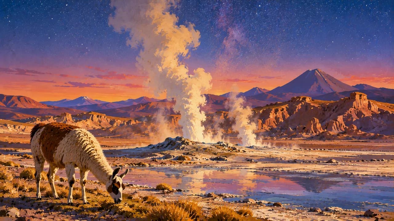
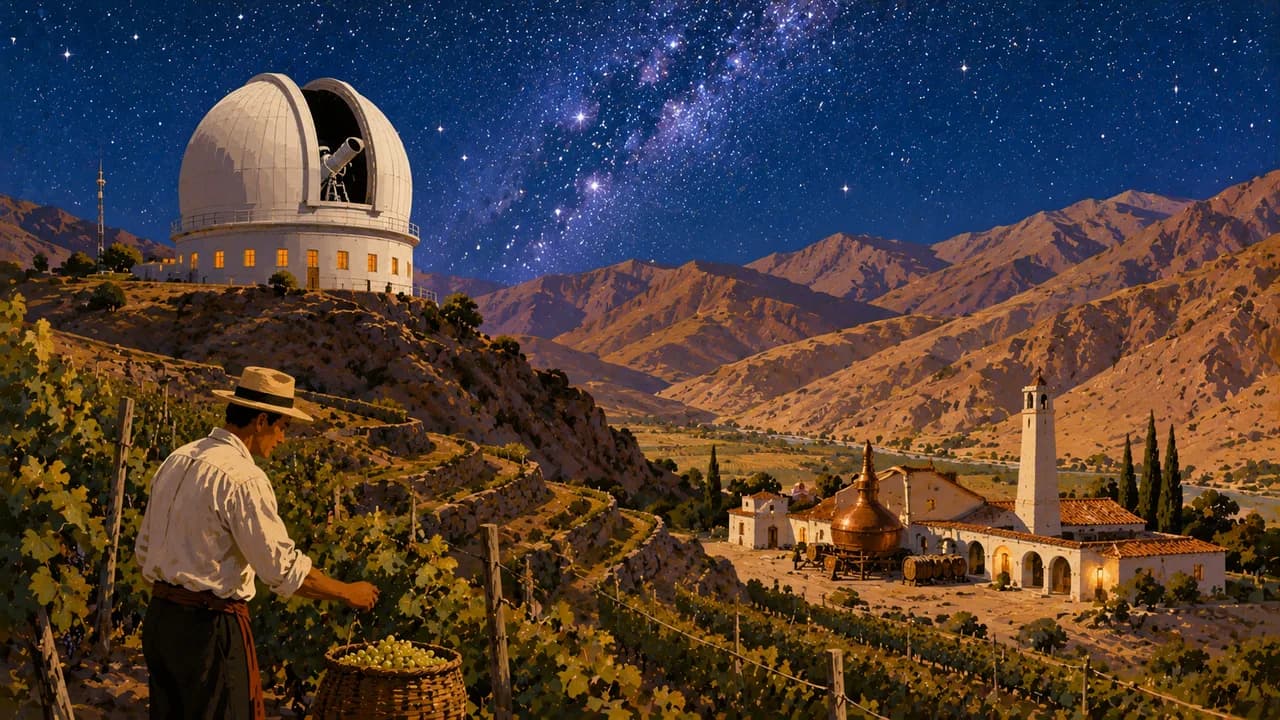
Chile stretches for more than four thousand kilometres between the Andes and the Pacific, linking northern deserts with southern forests, fjords and glaciers. Around San Pedro de Atacama, salt flats, volcanic landscapes and geysers reveal the high desert. Iquique adds coastal and mining heritage, while La Serena and the Elqui Valley combine seaside towns, vineyards and stargazing.
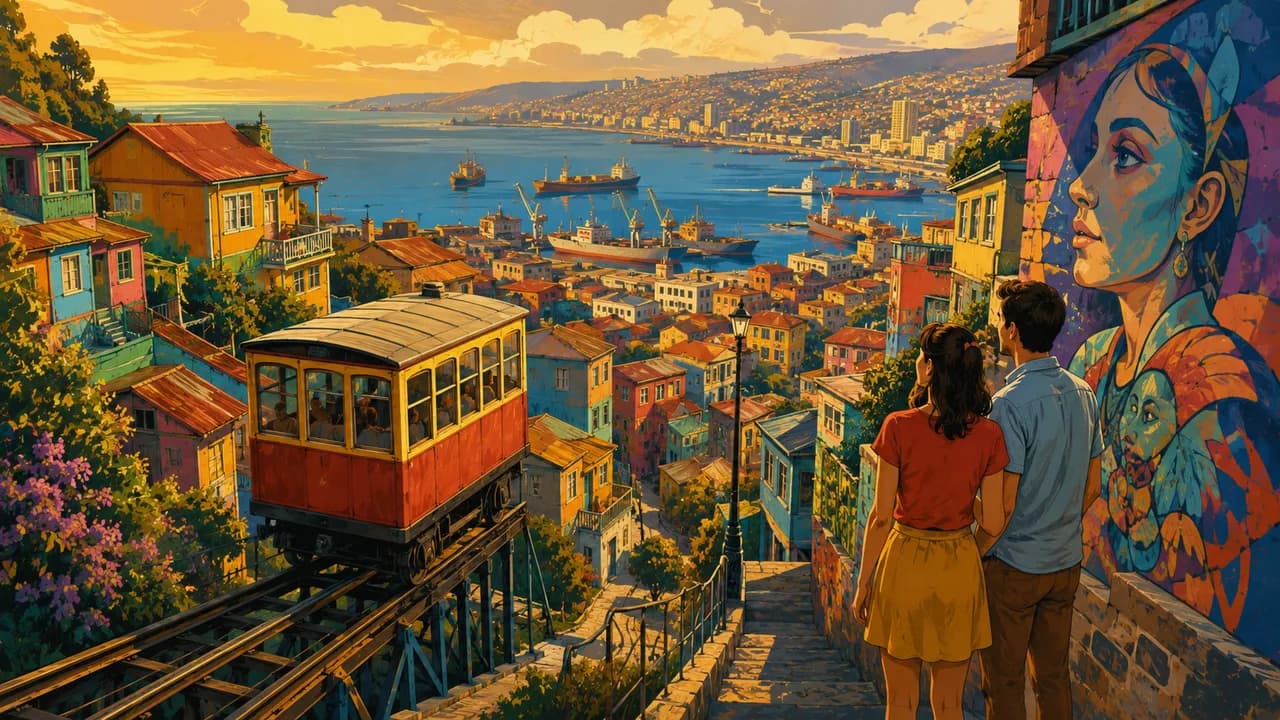
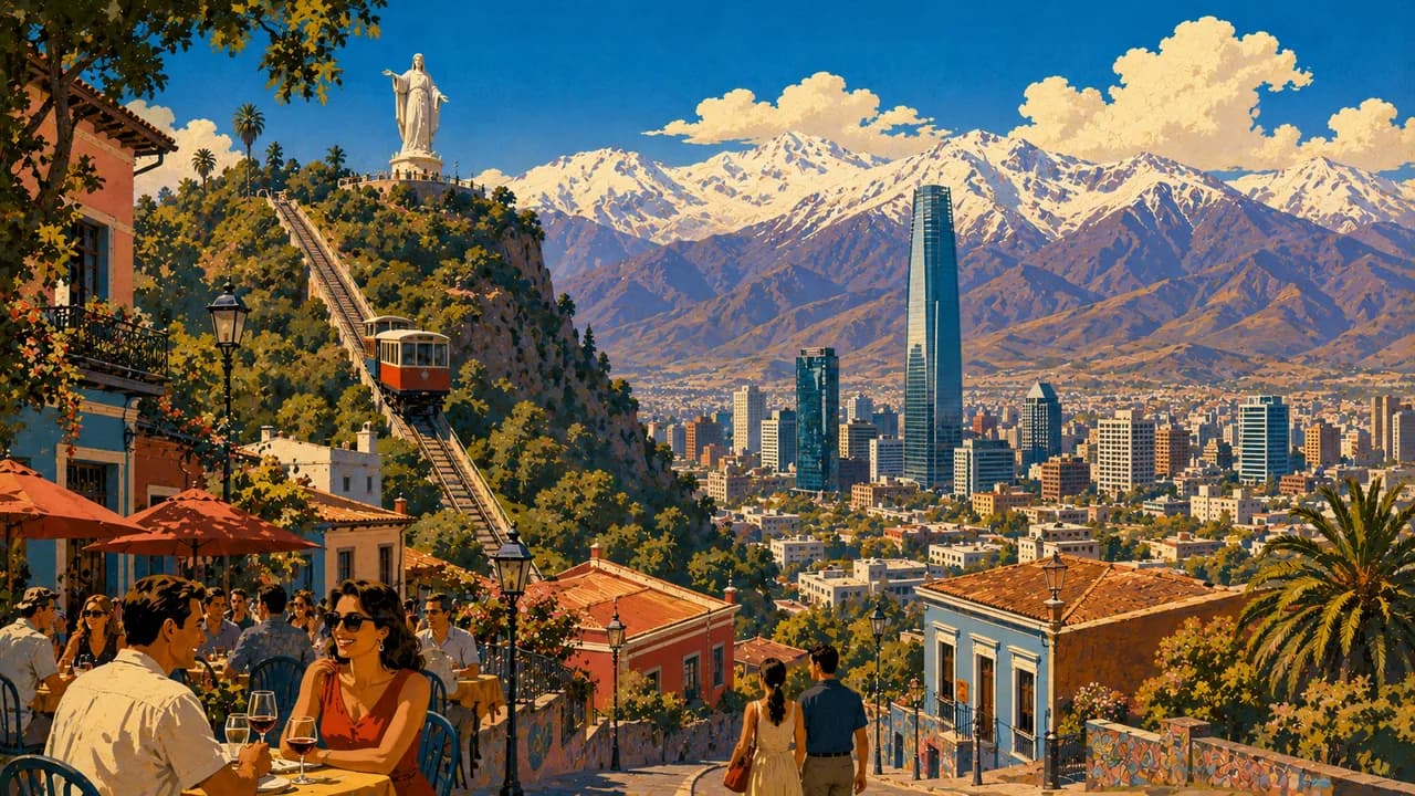
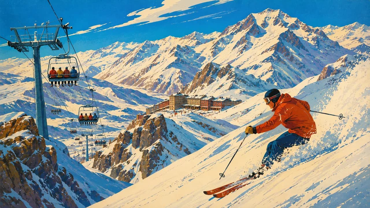
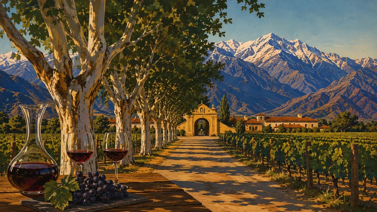
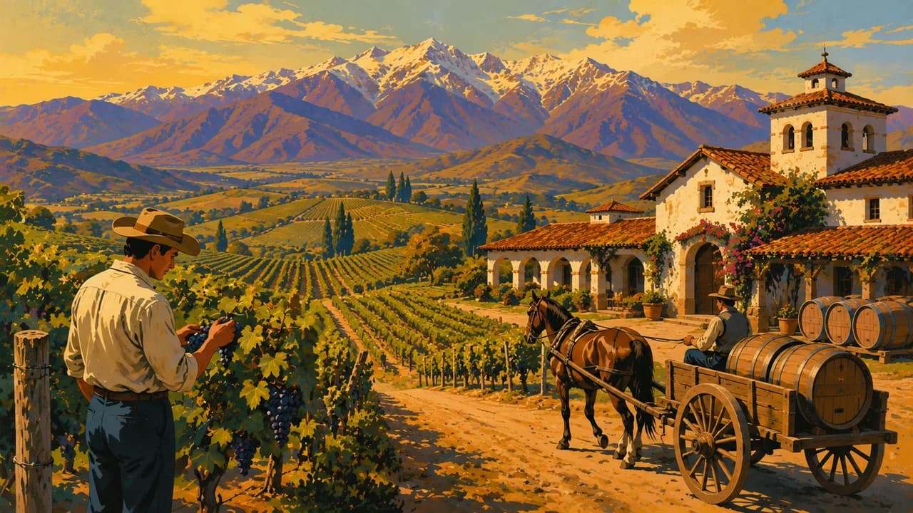
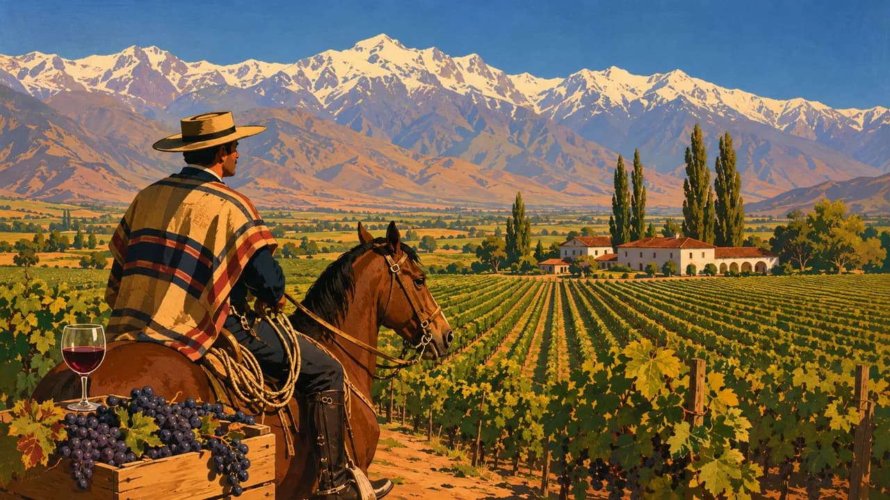
Santiago brings together museums, neighbourhood markets and contemporary city life below the Andes. Valparaíso's hillside streets and historic port contrast with the seaside promenades of neighbouring Viña del Mar. In the Central Valley, Maipo, Cachapoal and Colchagua introduce wine estates and rural landscapes. Cajón del Maipo offers mountain excursions, while Valle Nevado provides winter sports when snow and operating conditions allow.
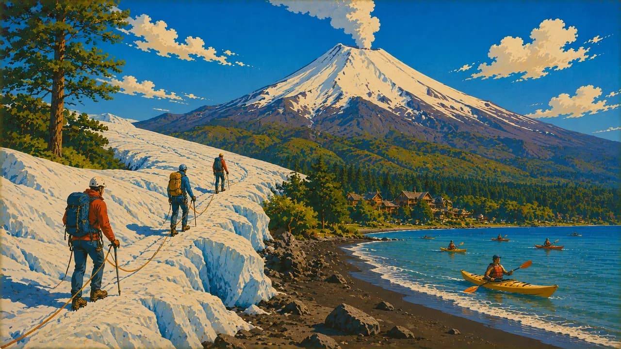
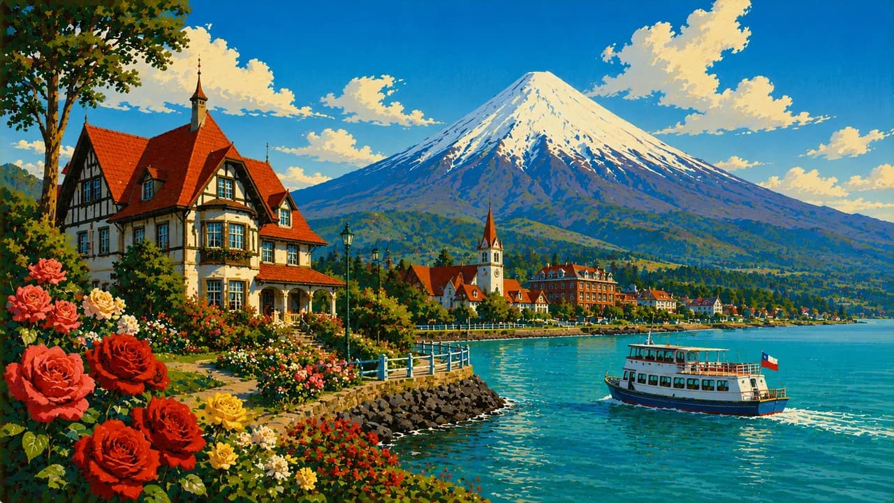
Further south, Pucón and Villarrica combine lakes, volcanic scenery, thermal springs and outdoor activities in a region shaped by Mapuche heritage. Puerto Varas and Frutillar add lakeside architecture and musical traditions. Chiloé has a distinct island culture, wooden churches, fishing villages and regional food.
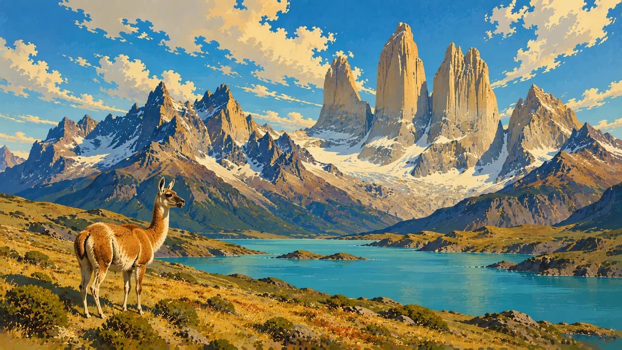
In Patagonia, the Carretera Austral connects forests, rivers and remote settlements, with ferries forming part of some journeys. Puerto Natales is a gateway to Torres del Paine's mountains, lakes and walking routes. Punta Arenas opens towards the Strait of Magellan and nearby wildlife excursions. Strong wind, changing weather and long transfers are part of planning in the far south.
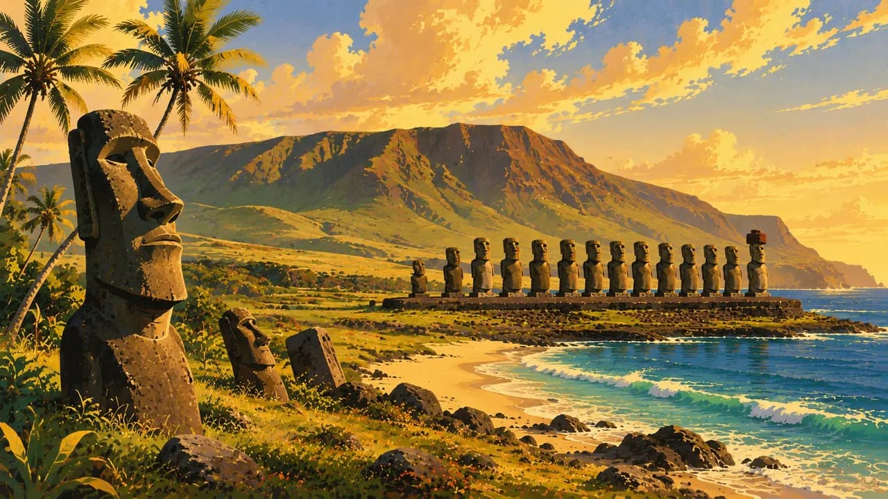
Far out in the Pacific, Rapa Nui, also known as Easter Island, combines moai and ceremonial sites with living Polynesian traditions. Chilean food ranges from empanadas and pastel de choclo to seafood and Chiloé's curanto, alongside regional wines. Allow time for distances, seasonal transport and protected-area reservations. Desert altitude, mountain access and sea conditions require local checks, while stargazing and wildlife sightings are never guaranteed.
AI edited
- 16
- Regions Chile is administratively divided into 16 regions. These units are distinct from broad tourism areas such as the Lake District or Patagonia.
- 18.48 million
- Population Rounded from INE's published 2024 census results of 18,480,432 counted people. This is the census enumeration, not a current live figure or a population projection for 2026.
- ≈ 756,100 km²
- Area Rounded area of continental and island Chile, excluding the Chilean Antarctic claim. Figures differ by definition and measurement date. The long north-to-south extent means substantial travel distances.
- Spanish
- Language Spanish is the widely used national language. The Spanish flag here represents the language, not the destination country. Indigenous languages and regional expressions are also part of Chile's linguistic diversity.
- Indigenous languages
- Other languages Indigenous languages include Mapudungun, Aymara and Rapa Nui. Distribution and usage vary by region. English knowledge varies and should not be assumed everywhere in tourism.
- Peso (CLP)
- Currency Chilean peso, CLP. The $ sign often means pesos, not US dollars. Cash and card availability vary by location.
- C · L
- Socket types Common plug systems are C and L, with 220 volts and 50 hertz. Check device specifications and adapter requirements. A travel adapter does not convert voltage.
- Santiago
- Capital Santiago is the capital. The clock starts with Santiago, with other time regions available in the selector.
- Right-hand traffic
- Driving side Traffic drives on the right in Chile. Check current weather and closures for mountain and secondary roads. Ferries, gravel roads and seasonal services can require additional planning in the south.
- UTC−6 to UTC−3
- Time zones Santiago and much of the mainland alternate between UTC−4 and UTC−3. Aysén and Magallanes currently use UTC−3 year-round. Rapa Nui and Salas y Gómez alternate between UTC−6 and UTC−5. Seasonal offsets are not additional regions. The clock starts with the capital and offers regional comparisons.
- 7
- UNESCO cultural sites Seven cultural UNESCO World Heritage properties, checked October 2026. Serial and transboundary inscriptions each count as one property.
Chile on the map

Map data: geoBoundaries (CC BY 4.0), © OpenStreetMap contributors (ODbL), Natural Earth
Climate and best time to travel
Chile's seasons vary considerably between the desert, central valleys, Lake District, Patagonia and Rapa Nui. Northern travel still involves altitude, cold nights and possible summer rainfall in the Andes. Stargazing depends on cloud cover and moonlight. Central Chile often has dry, warm summers and cooler, wetter winters. Wine harvests are commonly in March and April, with variable dates. Southern summer brings longer days to the Lake District and Patagonia, but does not guarantee calm or dry weather. Wind, rain and short-notice changes remain possible. Winter sports require snow and open facilities. Check volcanic alerts, protected-area rules, hiking reservations, ferries and seasonal transport in advance. Rapa Nui has its own access and visitor rules. Suggested months are guidance, not weather, access or wildlife guarantees.
Destinations in Chile
 AI generated
 AI generated
 AI generated
 AI generated
 AI generated
 AI generated
 AI generated
 AI generated
 AI generated
 AI generated
 AI generated
 AI generated