Guyana
Powerful waterfalls, rainforest and savannahs meet river life, Caribbean-influenced culture and community-led nature travel.
Worth coming back!
Wanderlama keeps growing with new destinations, helpful information and exciting features. Check back soon and discover what is new!
Travel to Guyana
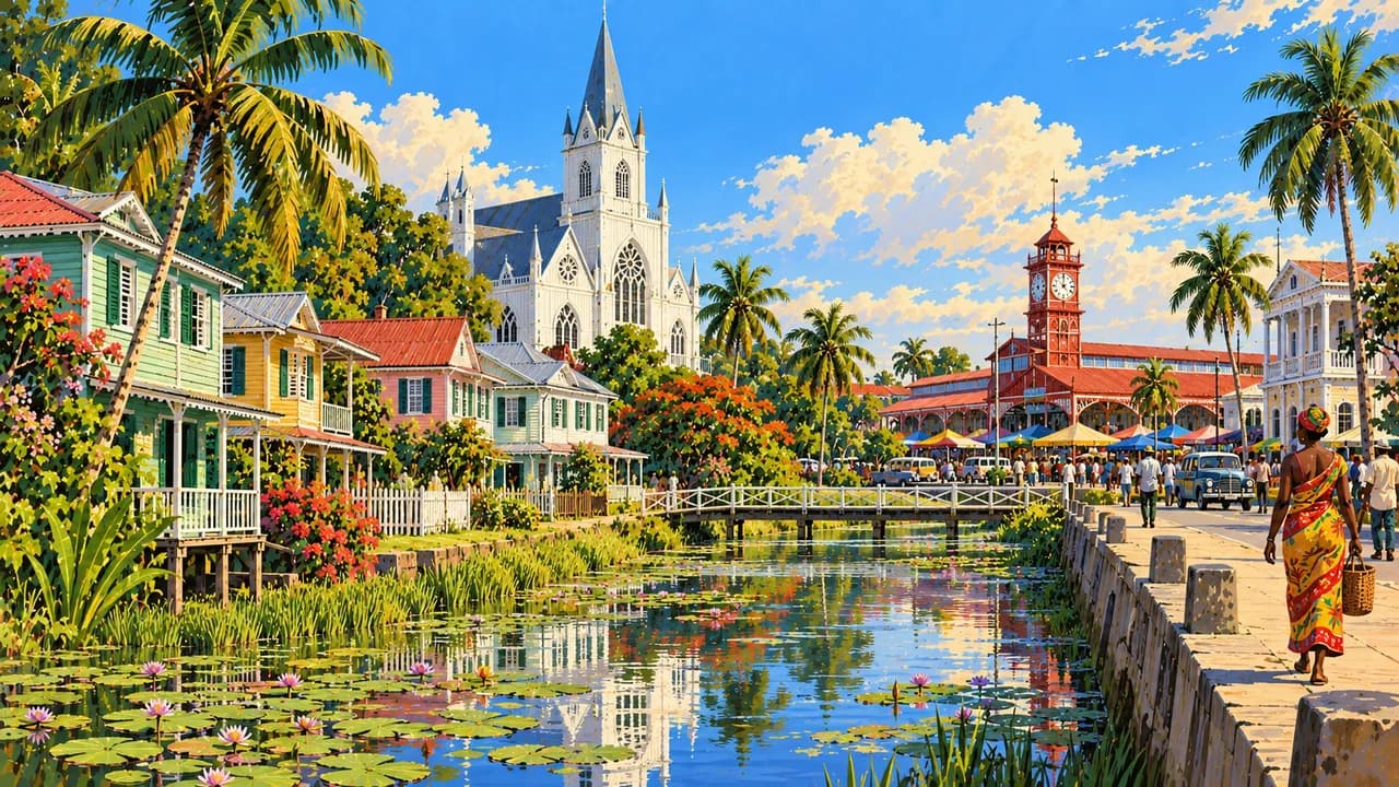
Guyana is an English-speaking country on South America's northern coast, with strong Caribbean cultural ties and extensive rainforest inland. Georgetown, the capital, combines wooden architecture, St George's Cathedral, Stabroek Market and a seawall promenade. Indigenous, African, Indian and other influences shape the country's communities, festivals and everyday life.
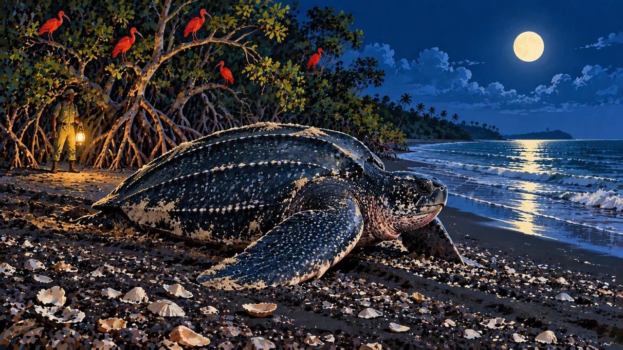
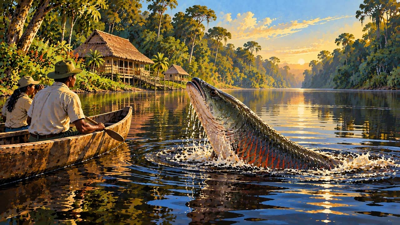
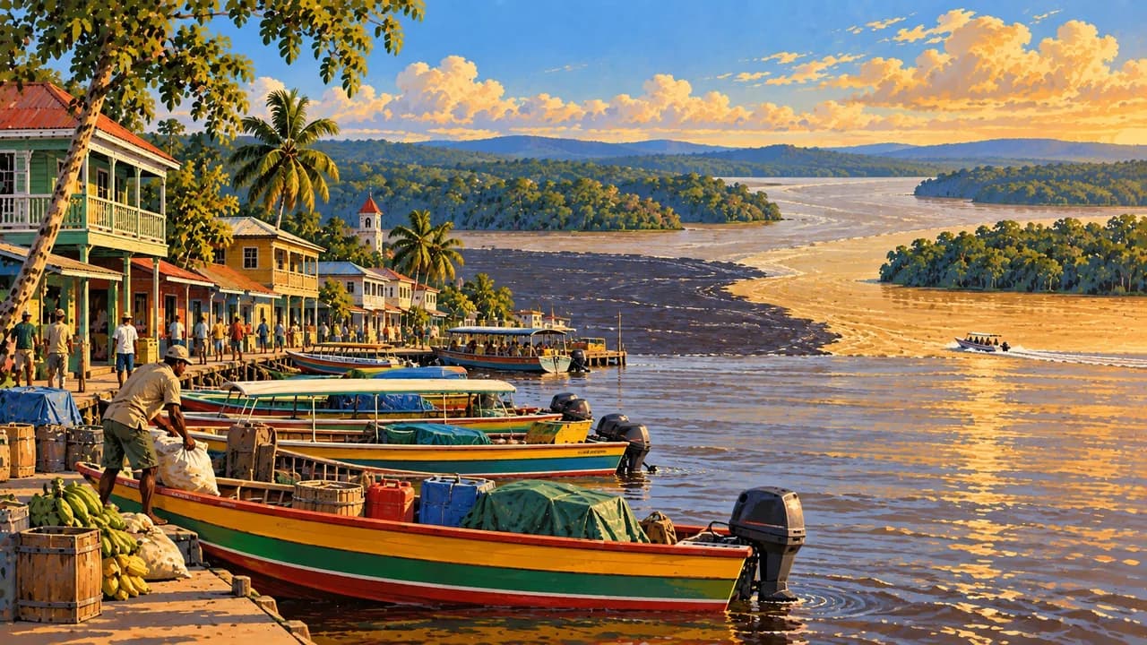
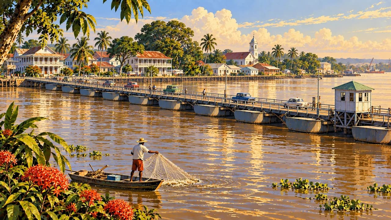
New Amsterdam and Corriverton introduce the Berbice and Corentyne coastal region, while Linden lies inland on the Demerara River. Parika and Bartica connect with the Essequibo's river routes, and Charity is a gateway to the Pomeroon. In the northwest, Shell Beach protects mangroves, wetlands and seasonal sea-turtle nesting sites rather than offering a conventional beach-resort experience.
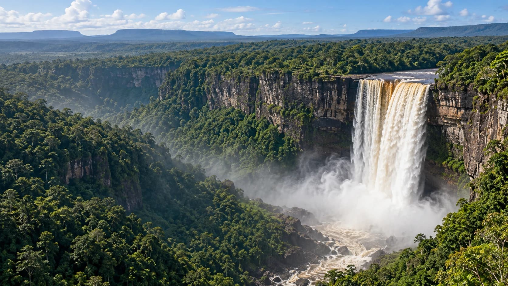
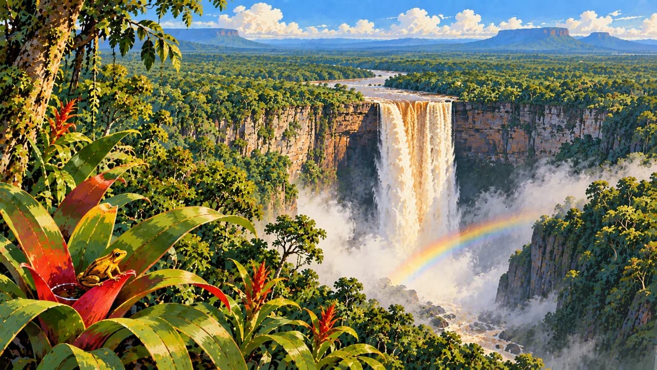
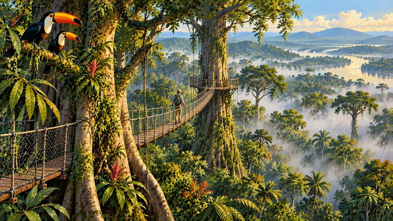
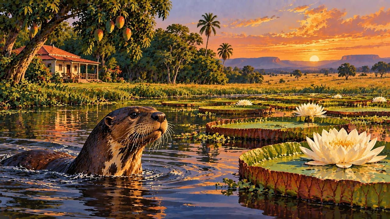
Kaieteur Falls drops from a forested plateau in Kaieteur National Park, where local guiding reveals the surrounding vegetation and birdlife. Iwokrama combines rainforest conservation and research with walking trails and canopy experiences. Giant otters, jaguars and giant anteaters inhabit Guyana's varied forest, river and savannah habitats, but wildlife encounters are never guaranteed.
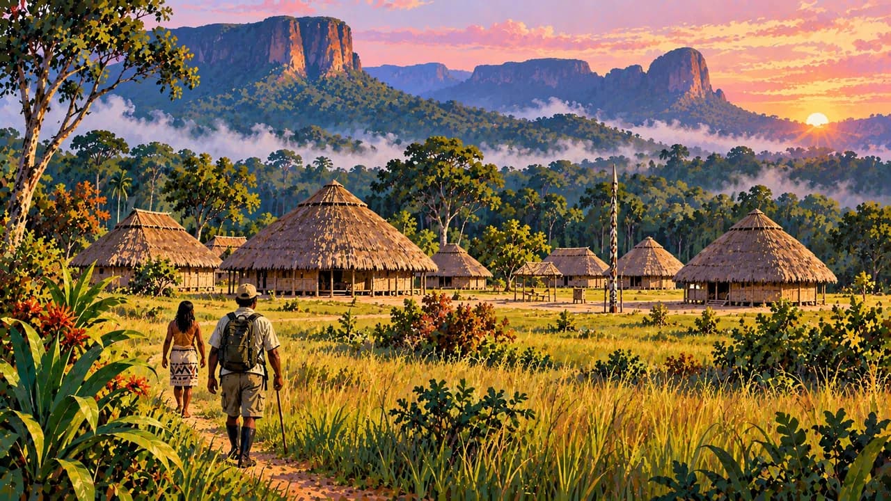
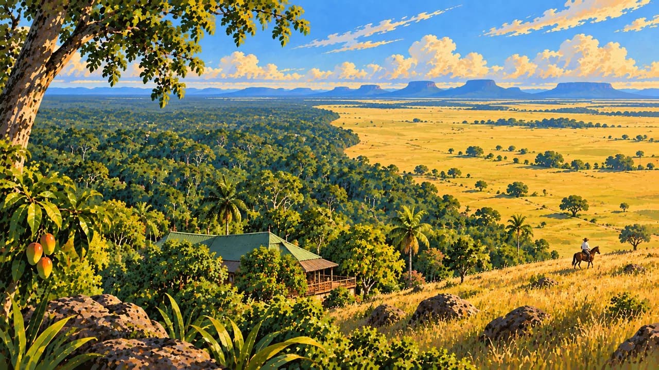
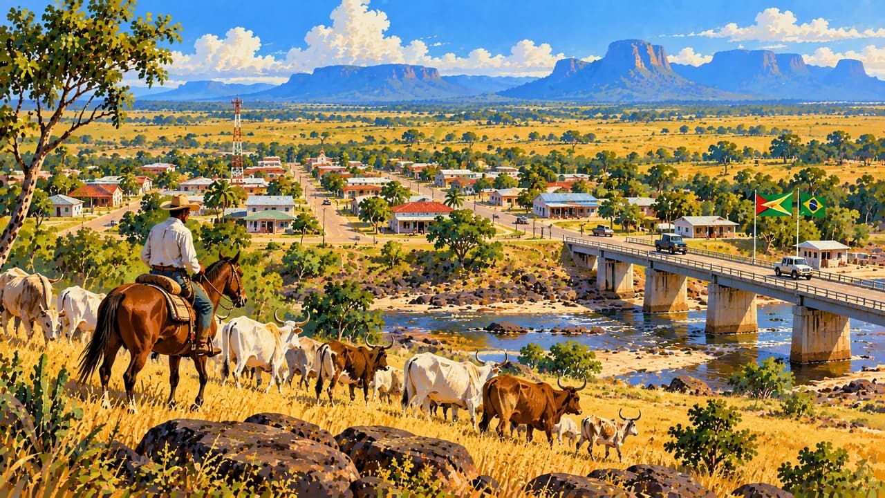
The Rupununi opens into savannahs, wetlands and ranch country around Annai, Karanambu and Lethem. Community-led lodges at Surama and Rewa connect nature excursions with Indigenous knowledge and local livelihoods. Communities are hosts with their own rules, not attractions to enter uninvited. Arrange visits through local hosts, seek consent for photographs and confirm any required permissions.
Pepperpot, cook-up rice, curry and roti reflect the variety of Guyanese food. Interior journeys often combine small aircraft, riverboats and lengthy road transfers, requiring advance arrangements and flexibility. Coastal and interior rainfall patterns differ, while river levels and road conditions can change routes and travel times. Allow contingency time rather than assuming a fixed itinerary or guaranteed access.
AI edited
- 10
- Administrative regions Guyana has ten administrative regions. These are not the same as natural landscapes or visitor areas.
- ≈ 879,000
- Population Rounded from the preliminary census count of 878,674 for September 2022. Not a current population estimate.
- ≈ 215,000 km²
- Area Rounded national area from government development planning. This is not an assessment of territorial disputes.
- English
- Language English is the official language. Everyday language and proficiency vary between communities.
- Creole & Indigenous languages
- Other languages Languages include Guyanese Creole and various Indigenous languages. Communities maintain distinct linguistic traditions.
- Guyanese dollar (GYD)
- Currency GYD, often written G$. Confirm cash and payment arrangements for remote accommodation beforehand, no exchange rate is stated.
- A · B · D · G
- Socket types Several plug types and differing supply specifications are reported. Check voltage and frequency directly with your accommodation. A plug adapter converts neither.
- Georgetown
- Capital Georgetown is the capital and a major starting point for coastal and interior travel.
- Left-hand traffic
- Driving side Drive on the left. Long transfers, unpaved sections and weather can affect travel plans.
- UTC−4
- Time zone UTC−4 year-round. The clock compares browser time and a home time zone where provided.
Guyana on the map

Map data: geoBoundaries (CC BY 4.0), © OpenStreetMap contributors (ODbL), Natural Earth
Climate and best time to travel
Guyana is warm year-round, with travel conditions shaped mainly by rainfall. On the coast, February and March and September and October often provide drier-season orientation. The Rupununi has a more pronounced wet-season cycle, usually with more rain around May to August. Transitions vary. Low water can impede boats, while high water can flood roads and trails. Turtles nest seasonally on the northwest coast. Month labels guarantee neither access nor sightings.
Destinations in Guyana
 AI generated
 AI generated
 AI generated
 AI generated
 AI generated
 AI generated
 AI generated
 AI generated
 AI generated
 AI generated
 AI generated
 AI generated