Dominican Republic
República Dominicana
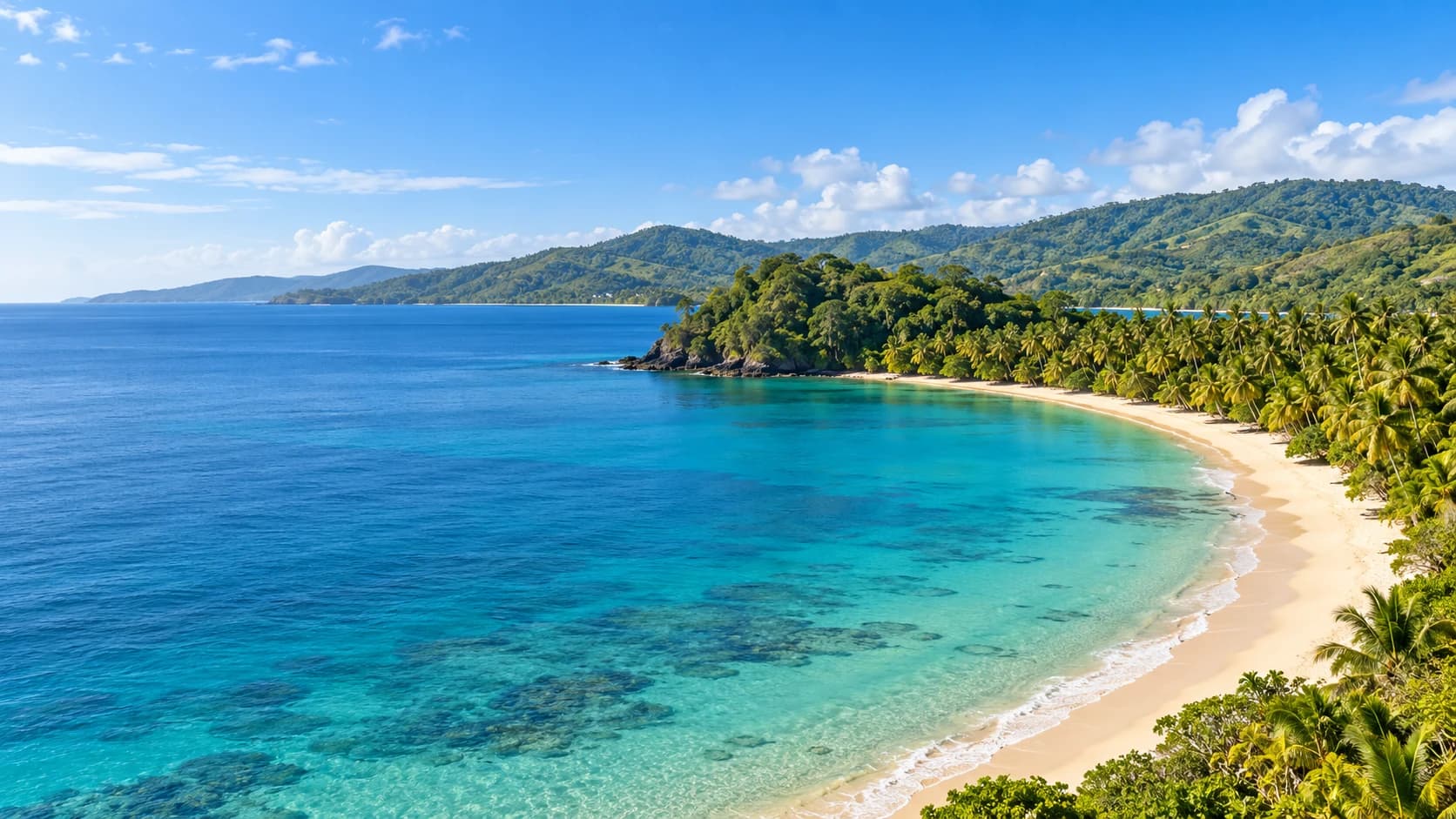
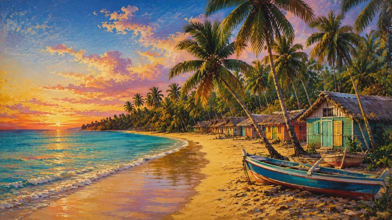
Palm-lined beaches, green mountain landscapes and vibrant culture between colonial old towns, mangroves and Caribbean rhythms.
Worth coming back!
Wanderlama keeps growing with new destinations, helpful information and exciting features. Check back soon and discover what is new!
Travel to the Dominican Republic
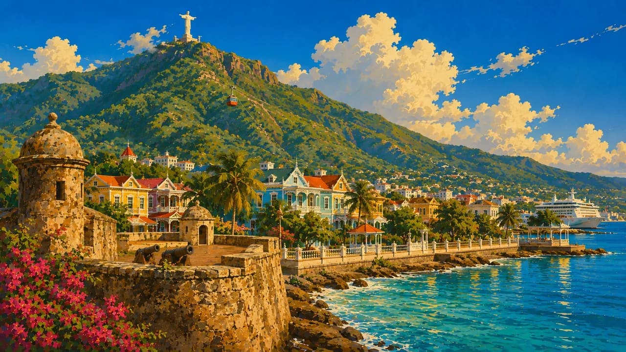
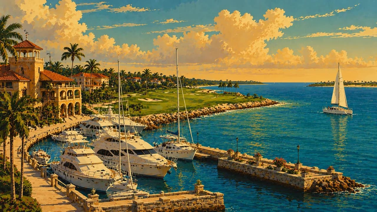
The Dominican Republic shares the Caribbean island of Hispaniola with Haiti and combines tropical beaches, forested mountains and living cultural traditions. Punta Cana and Bávaro offer long palm-lined beaches and large resorts. Bayahíbe is a gateway to Saona Island and the coastal landscapes of Cotubanamá National Park.
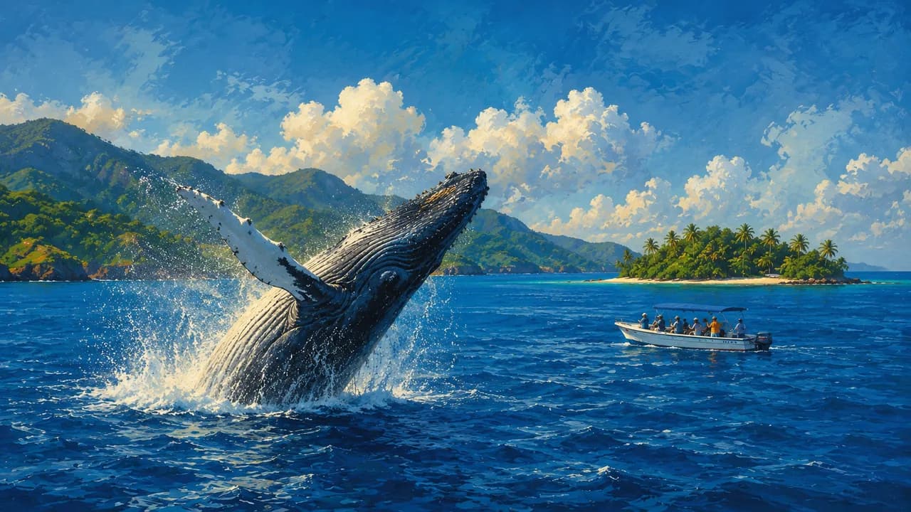
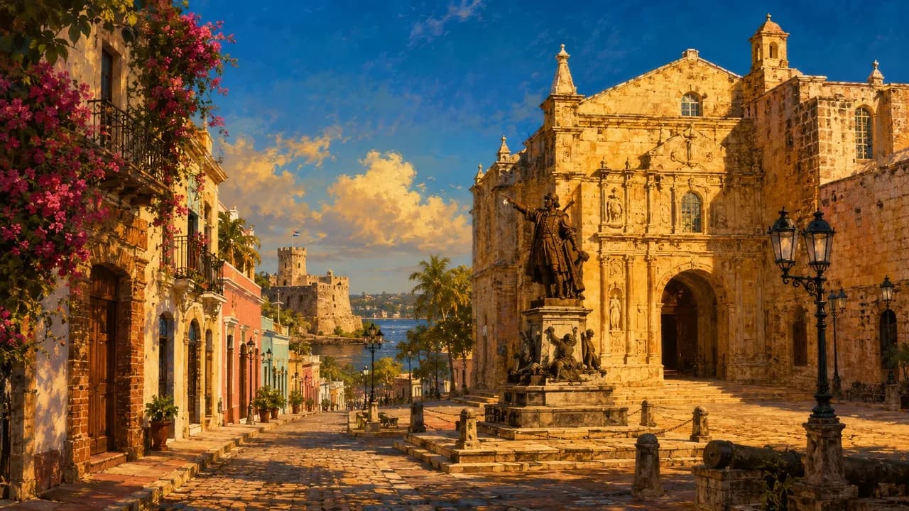
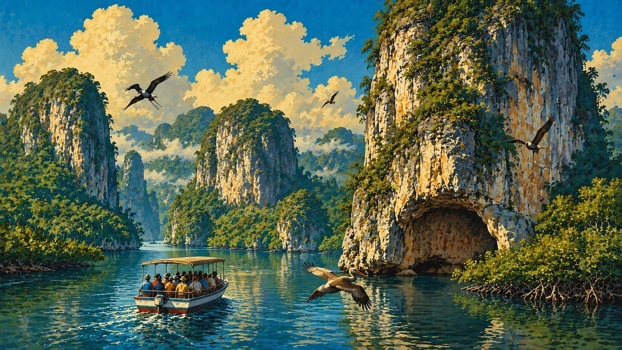
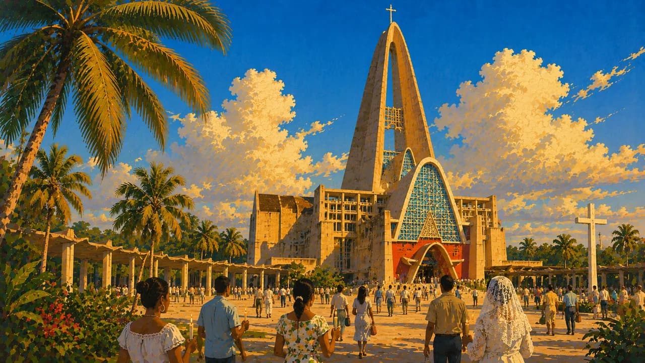
The capital Santo Domingo preserves the UNESCO-listed Colonial City, including the first cathedral in the Americas. Puerto Plata's historic centre, Cabarete's water sports and the waterfalls of Damajagua add variety along the north coast. The Samaná Peninsula offers beaches around Las Terrenas and Las Galeras. Humpback whales visit Samaná Bay seasonally from January to March. Los Haitises National Park protects mangroves, limestone islets and caves with Taíno rock art.
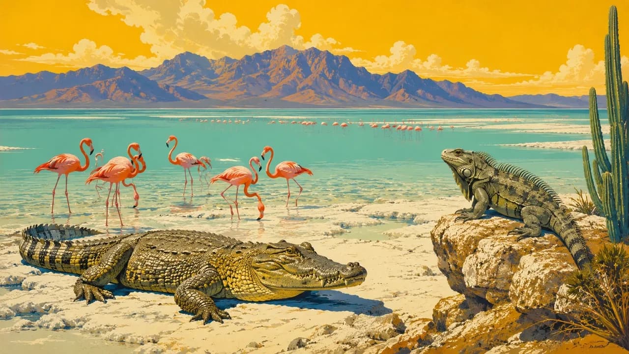
Jarabacoa and Constanza reveal cooler highlands, waterfalls and hiking routes, with expeditions to Pico Duarte in the Cordillera Central. In the southwest, Barahona's coast, Lake Enriquillo and Bahía de las Águilas near Pedernales contrast with the resort areas. Merengue, bachata and carnival express the country's cultural life. Dishes such as mangú and sancocho, along with cacao, coffee and rum, reflect Indigenous, African and Spanish influences.
Community visits, small food markets and craft workshops offer cultural perspectives beyond beach resorts. Conditions differ between humid coasts and mountain interiors, and wildlife sightings cannot be promised. Road transfers need realistic travel times, especially when combining distant regions. Local guidance and protected-area rules should shape hiking, boating and other excursions.
AI edited
- 31
- Provinces
- 10.8 million
- Population
- 48,311 km²
- Area
- Spanish
- Language
- English & French
- Other languages Tourism businesses often use English and sometimes French or other languages alongside Spanish. This cannot be assumed nationwide or for every person. Spanish remains useful for travel beyond the main tourism centres.
- Dominican peso (DOP)
- Currency
- A · B
- Socket types
- Santo Domingo
- Capital
- Right-hand traffic
- Driving side
- UTC−4
- Time zone UTC−4 nationwide, without daylight saving. The clock compares local time with browser time and the saved home location.
- 1
- UNESCO cultural site
The Dominican Republic on the map

Map data: geoBoundaries (CC BY 4.0), © OpenStreetMap contributors (ODbL), Natural Earth
Climate and best time to travel
The right travel season depends on the coast, elevation and activities. The less hot months from December to April are pleasant for many beach and city trips. The north and northeast coasts can still receive rain during these months. The mountains around Jarabacoa and Constanza are considerably cooler, and nights on trips to Pico Duarte can be very cold. The regular humpback whale-watching season in Samaná Bay runs roughly from mid-January to late March. Sightings are not guaranteed, and outings depend on weather and sea conditions. June to August is often favourable for kiteboarding and windsurfing in Cabarete, although these months fall in the warmer, wetter season. The Atlantic hurricane season runs from June to November. The months shown are guidelines. Before outings, check weather warnings, sea conditions and access to roads, trails and parks.
Destinations in the Dominican Republic
 AI generated
 AI generated
 AI generated
 AI generated
 AI generated
 AI generated
 AI generated
 AI generated
 AI generated
 AI generated
 AI generated
 AI generated