Jamaica
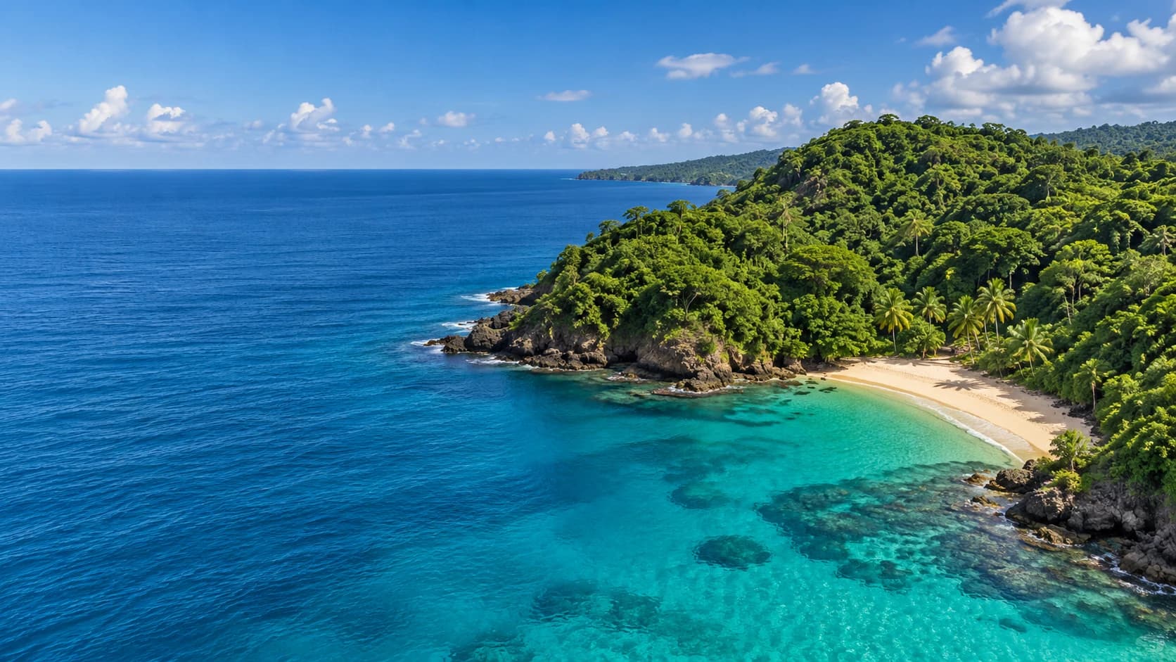
Reggae, green mountain forests and varied coasts meet living traditions and richly spiced island cooking.
Worth coming back!
Wanderlama keeps growing with new destinations, helpful information and exciting features. Check back soon and discover what is new!
Travel to Jamaica
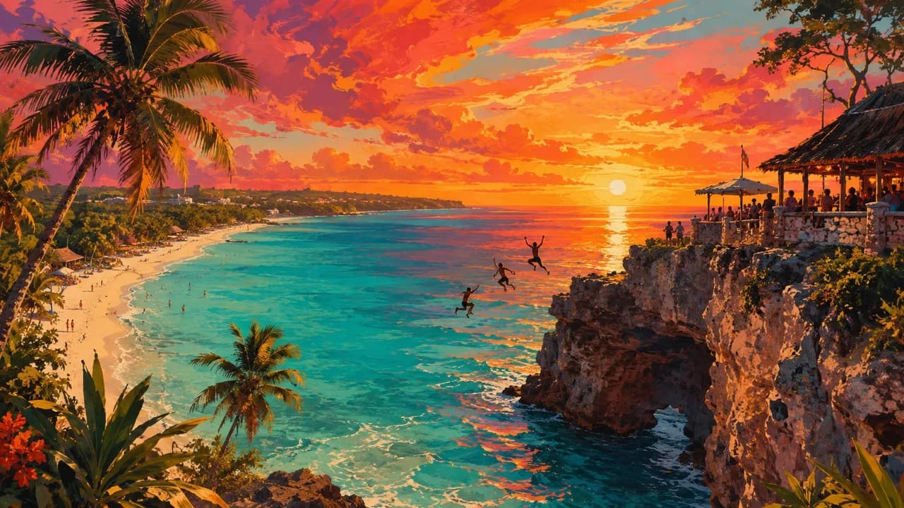
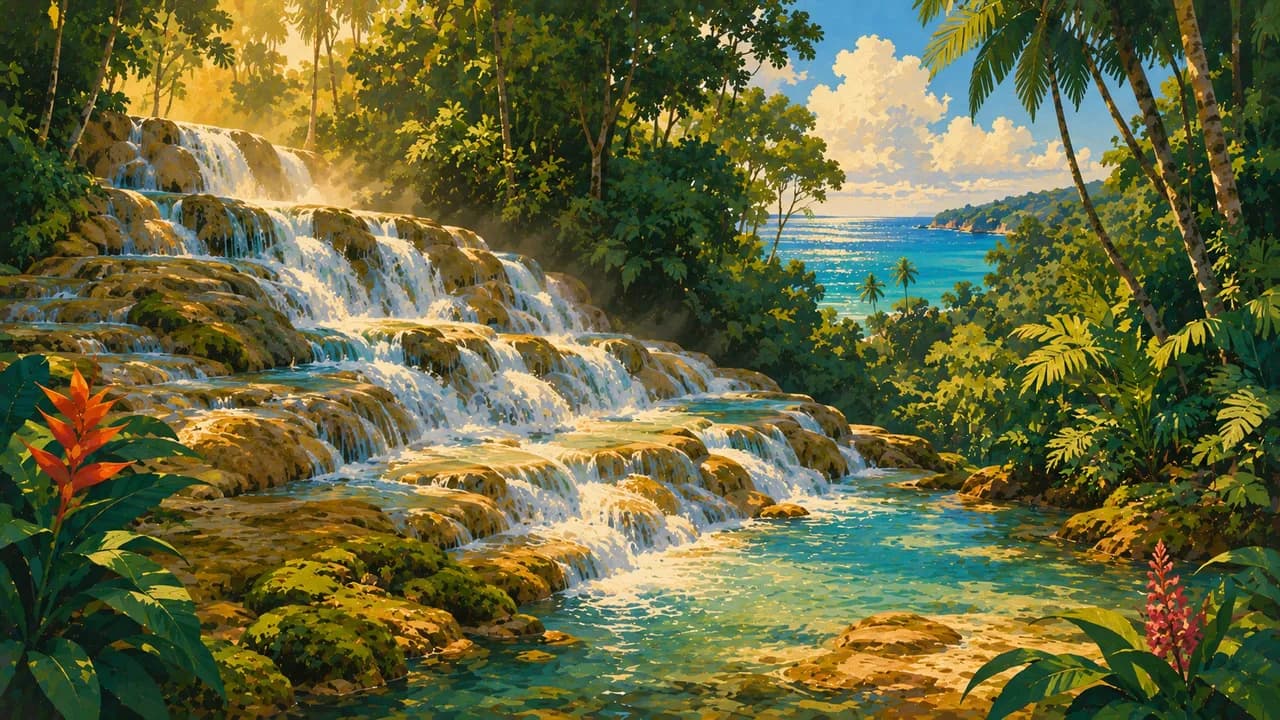
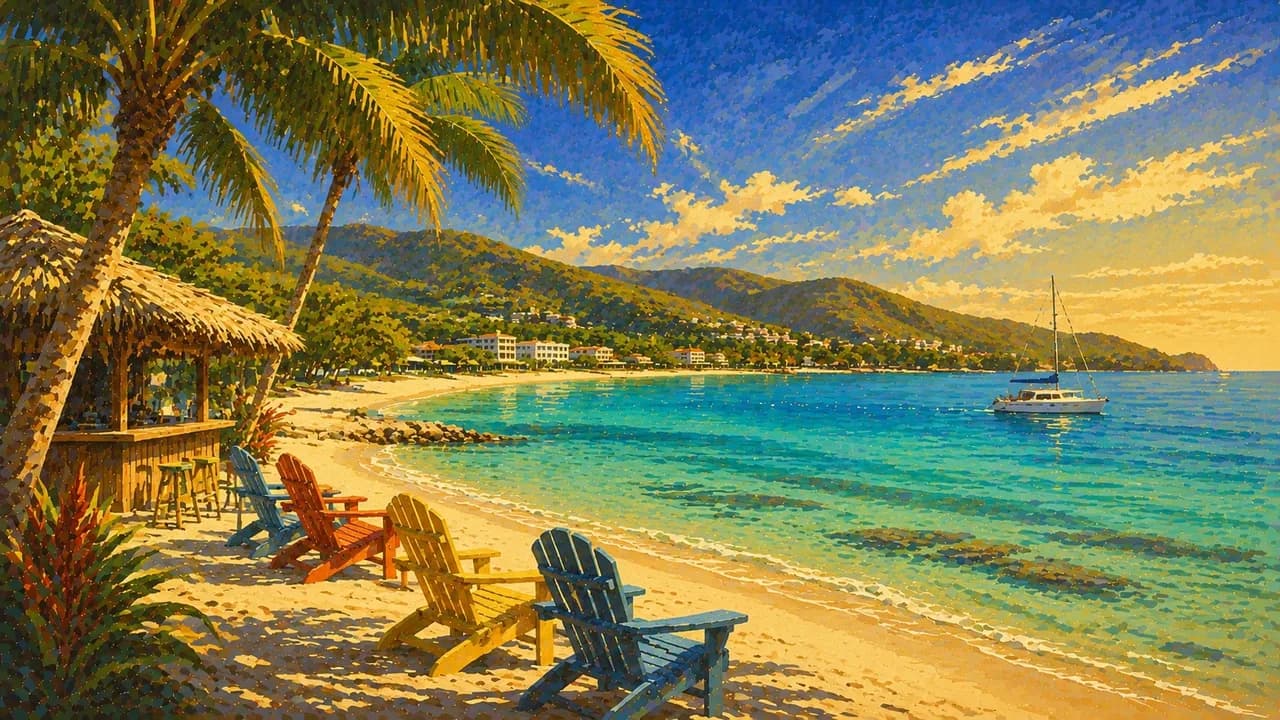
Jamaica is the birthplace of reggae, a mountainous Caribbean island with distinctive traditions of music, food and sport. Montego Bay, Ocho Rios and Negril are coastal centres, with Seven Mile Beach and the cliffs around Rick's Café in the west. Dunn's River Falls adds cascading river scenery near Ocho Rios.
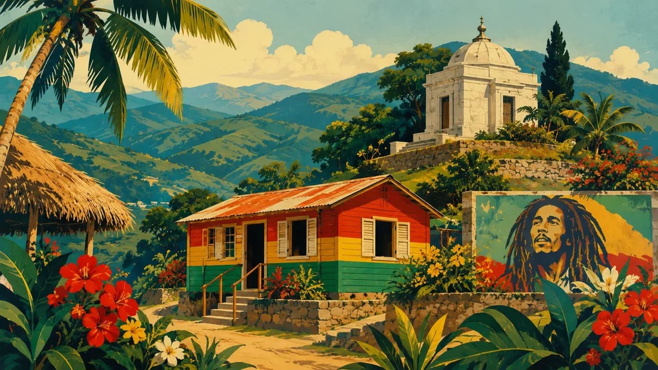
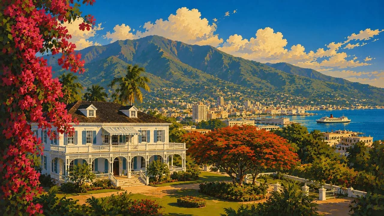
The capital Kingston brings together the Bob Marley Museum, Trench Town's musical heritage and the National Gallery of Jamaica. Nine Mile is a separate place associated with Marley's birthplace and memorial. The UNESCO-listed archaeological ensemble at Port Royal recalls a colonial trading port shaped by slavery and maritime commerce. Athletics and cricket are important parts of Jamaican identity.
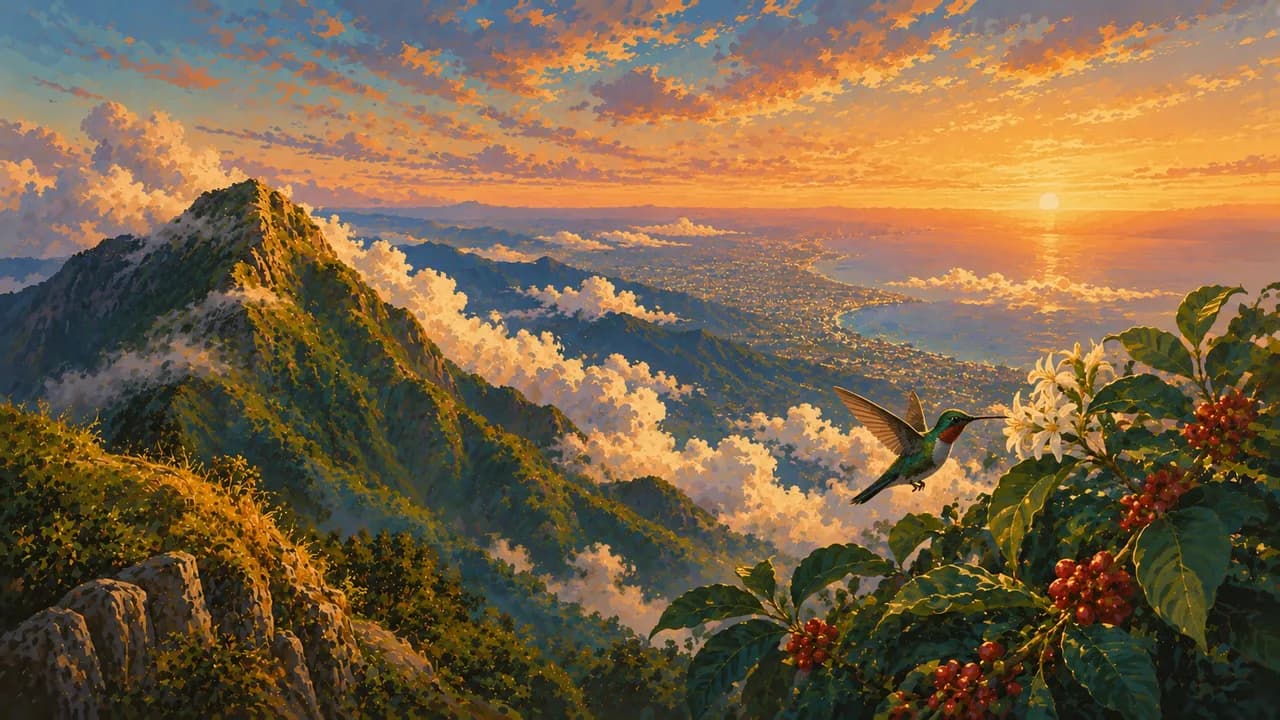
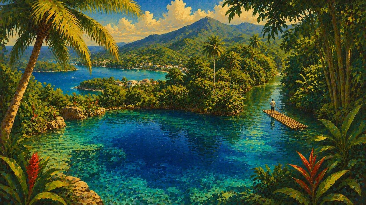
Port Antonio and Portland offer the Blue Lagoon, Frenchman's Cove, Reach Falls and bamboo rafting on the Rio Grande. Coffee farms in the Blue Mountains contrast with protected forests in the UNESCO-listed Blue and John Crow Mountains. Endemic wildlife and the heritage of Maroon communities give this landscape both natural and cultural significance. Community-led visits to places such as Moore Town or Accompong require respectful arrangements.
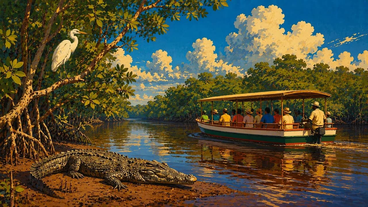
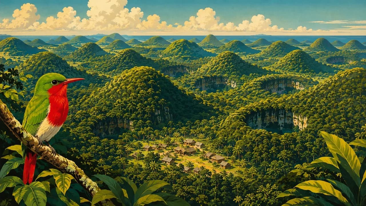
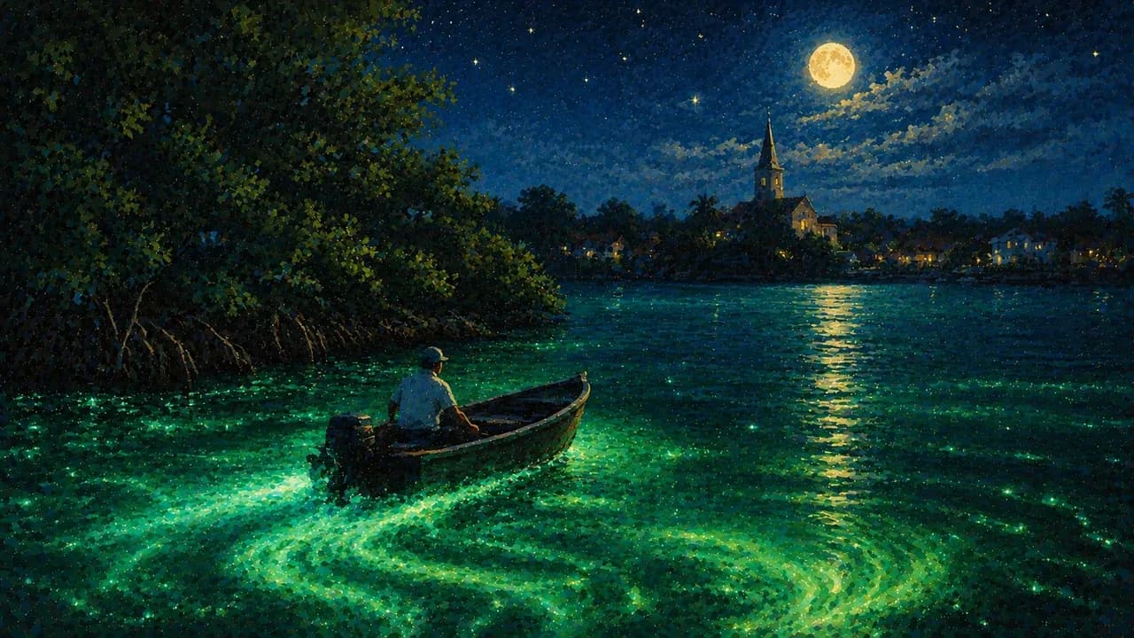
Inland, Cockpit Country contains forested limestone hills, caves and sinkholes. Falmouth's Georgian architecture, the Martha Brae River and Luminous Lagoon add variety along the north coast. In the south, Treasure Beach, Black River's wetlands and YS Falls offer a different perspective from the larger resort areas. Bioluminescence and wildlife sightings vary with conditions and cannot be promised.
Reggae, dancehall, sound-system culture and Rastafari traditions extend beyond resort entertainment. Jerk cooking, ackee and saltfish, patties, rice and peas, ital food, rum and coffee express culinary diversity. Qualified operators, local permissions and sea or river conditions should guide excursions. Cliff jumping or waterfall climbing should not be assumed suitable for everyone. Realistic transfer times reflect mountain roads, coastal distances and seasonal storm conditions.
AI edited
- 14
- Parishes Jamaica is divided into 14 parishes. These administrative units are not travel or security zones.
- ≈ 2.8 million
- Population Rounded from the STATIN 2022 census count of 2,774,538. This is a historical census figure, not a current estimate.
- ≈ 10,990 km²
- Area UNdata gives a surface area of 10,990 square kilometres. Other sources use slightly different area figures.
- English
- Language English is the official language. Jamaican Creole, also called Patois or Patwa, shapes many everyday situations and cultural expressions.
- Patois / Patwa
- Other languages Jamaican Creole is a distinct English-based creole language. Usage and switching between English and Patois vary with the situation.
- Jamaican dollar (JMD)
- Currency The currency code is JMD, often written J$. Confirm the currency in dollar quotations and check cash needs and card acceptance beforehand.
- A · B
- Socket types Electrical Safety First lists A/B plugs with 110 V and 50 Hz. Check the actual supply and device compatibility. A travel adaptor converts neither voltage nor frequency.
- Kingston
- Capital Kingston is the capital and a centre of administration, art and music. Montego Bay is a different city, not the capital.
- Left-hand traffic
- Driving side Traffic drives on the left. Mountain roads can be narrow and winding.
- UTC−5
- Time zone UTC−5 year-round without seasonal clock changes. Comparisons with your browser and saved home location can change when those places switch clocks.
Jamaica on the map

Map data: geoBoundaries (CC BY 4.0), © OpenStreetMap contributors (ODbL), Natural Earth
Climate and best time to travel
Jamaica has a tropical climate with cooler mountains and regional rainfall differences. December to March is often a relatively drier planning window, not a rain-free season everywhere. Eastern areas and mountain slopes can still receive rain. The June to November hurricane season brings additional storm risks. Month labels are guidance, not guarantees of weather, access or sightings.