Angola
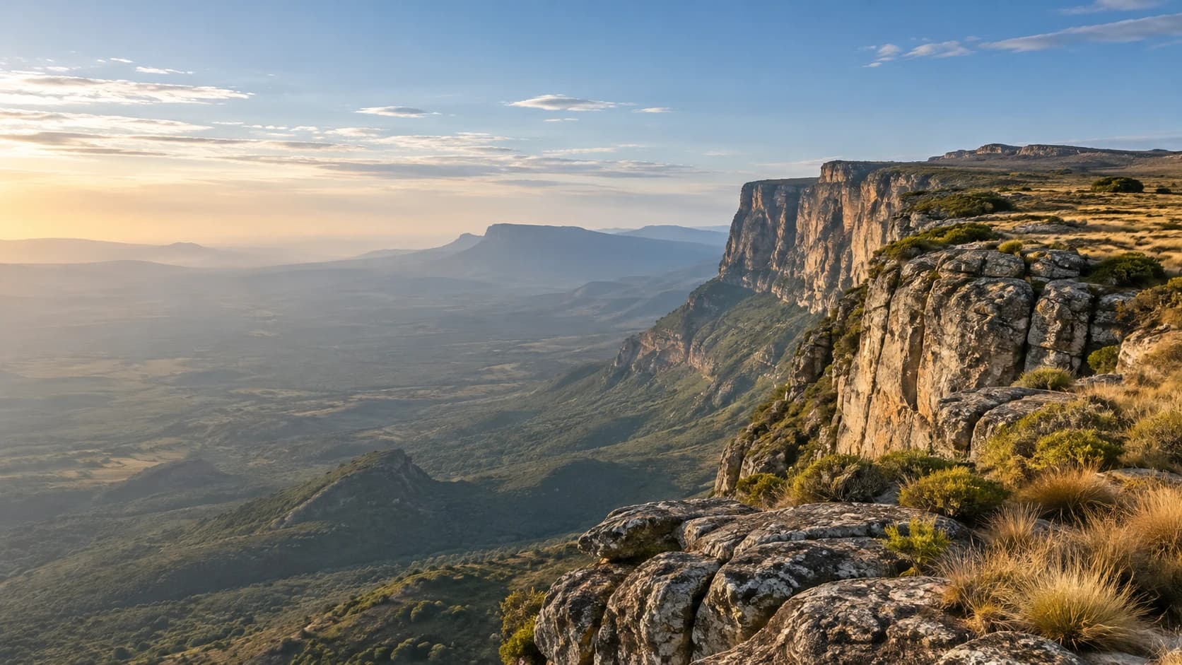
Atlantic shores, broad highlands and desert landscapes meet royal heritage and living musical traditions.
Worth coming back!
Wanderlama keeps growing with new destinations, helpful information and exciting features. Check back soon and discover what is new!
Travel to Angola
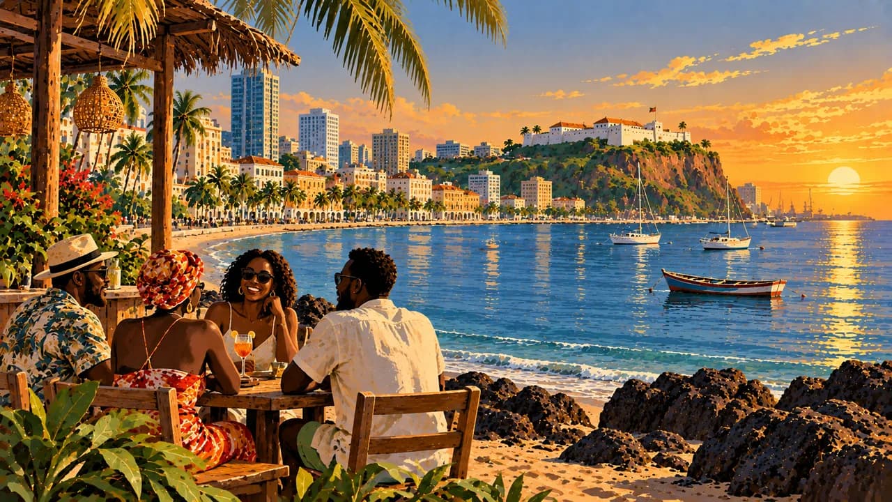
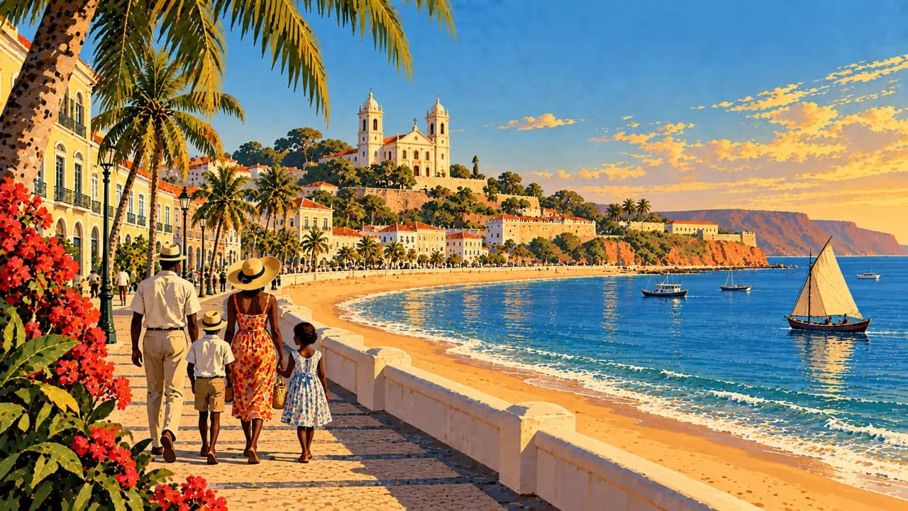
Angola combines a long Atlantic coast, central highlands, northern forests and the arid southwest. Luanda, the capital, links its bay promenade and São Miguel fortress with contemporary art, markets and music. Portuguese is official, alongside community languages including Umbundu, Kimbundu and Kikongo. Semba and kuduro reflect different strands of cultural life.
Travel requires current regional and health advice. Germany’s Foreign Office highlights armed crime, protests, remaining landmines and difficult roads. It advises avoiding travel to Cabinda, Lunda Norte and Lunda Sul where possible. Avoid night journeys and unverified routes off established roads. Cabinda is a separate exclave with Atlantic shores and Mayombe forest. Confirm access and permissions.
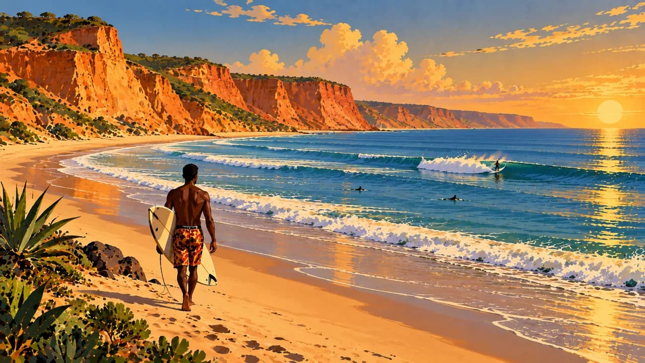
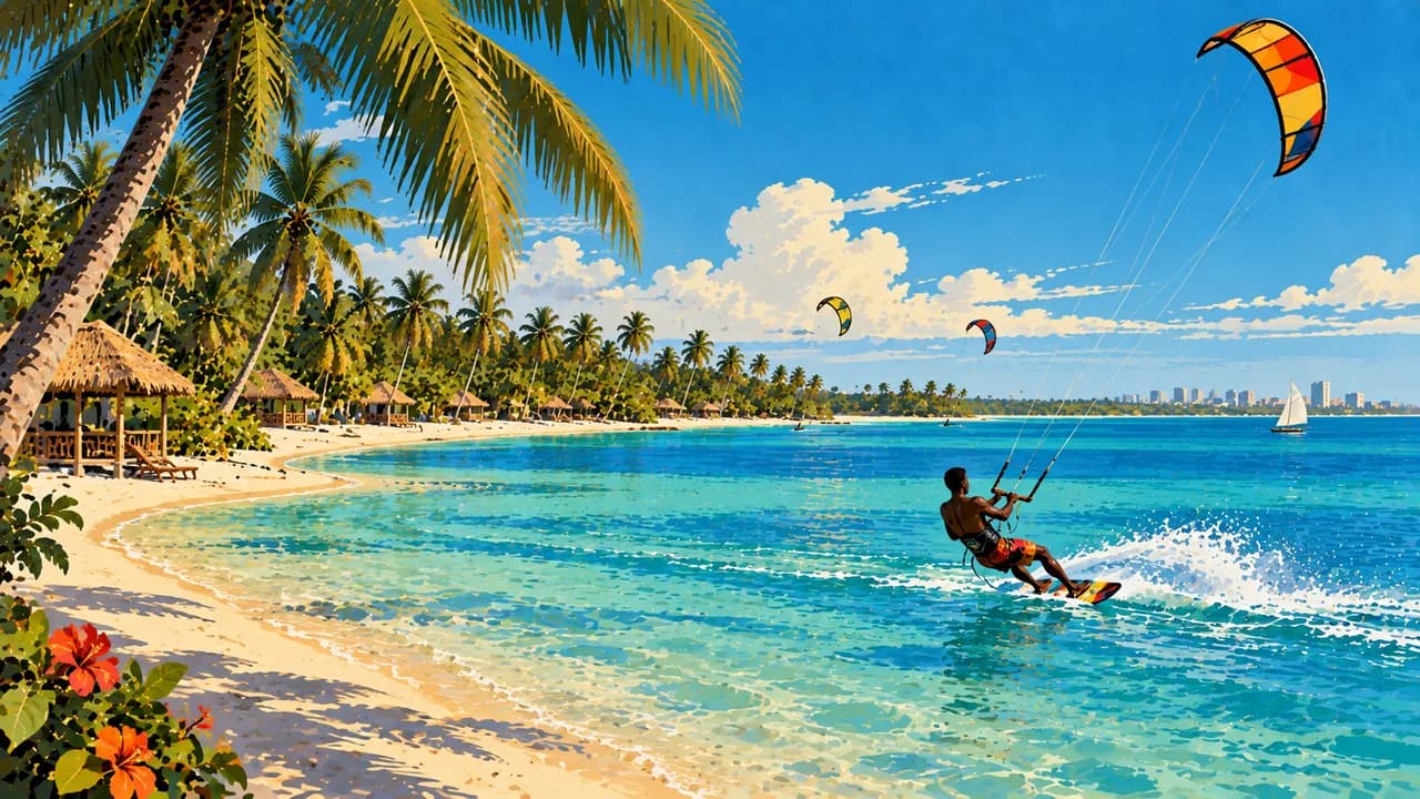
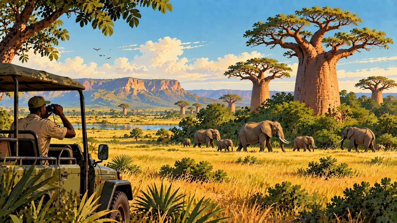
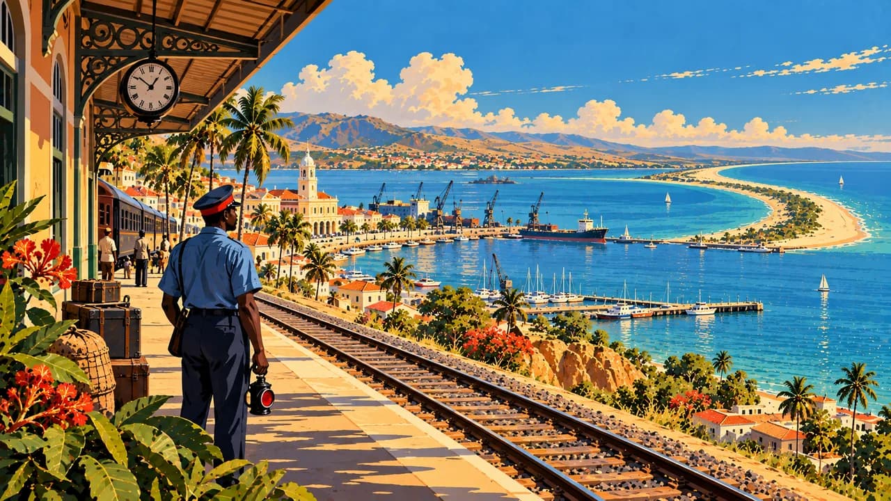
Mussulo offers lagoon and ocean shores near Luanda, while Cabo Ledo is associated with surf culture. Quiçama National Park adds coastal savanna and wildlife conservation, without guaranteed sightings. Sumbe introduces central coastal landscapes. Lobito combines its natural harbour and Restinga sandspit, while Benguela preserves architecture and memories of the transatlantic slave trade.
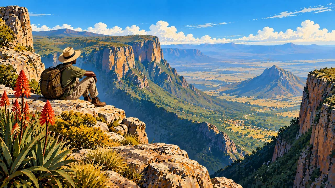
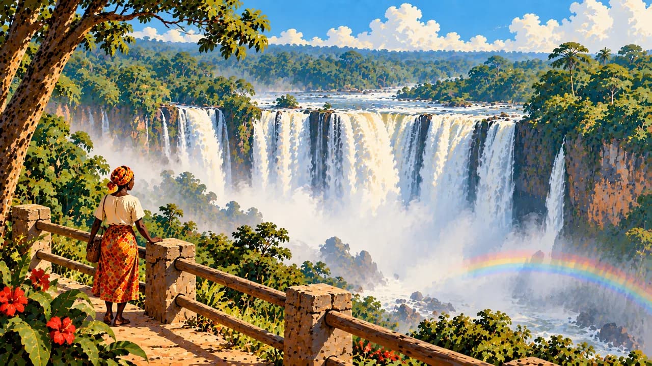
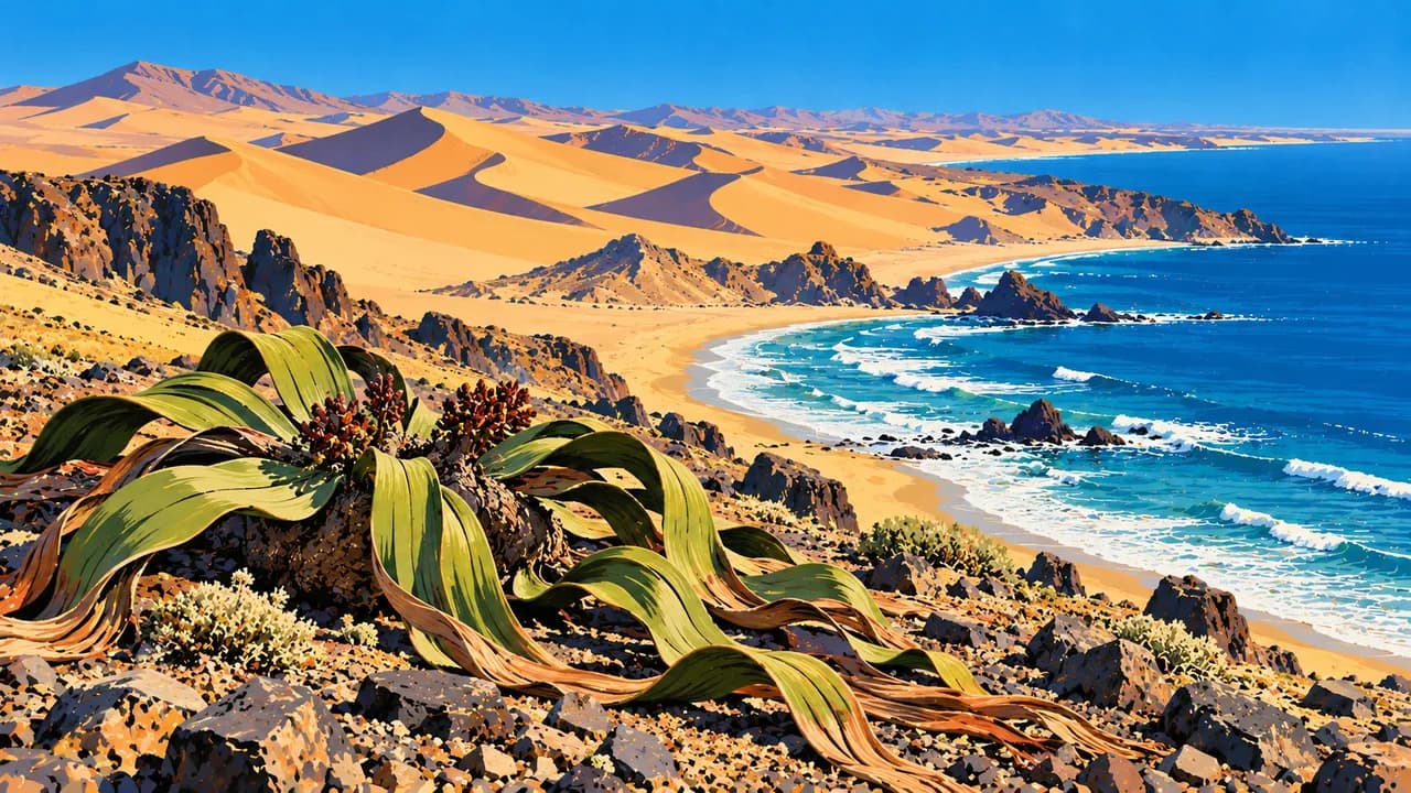
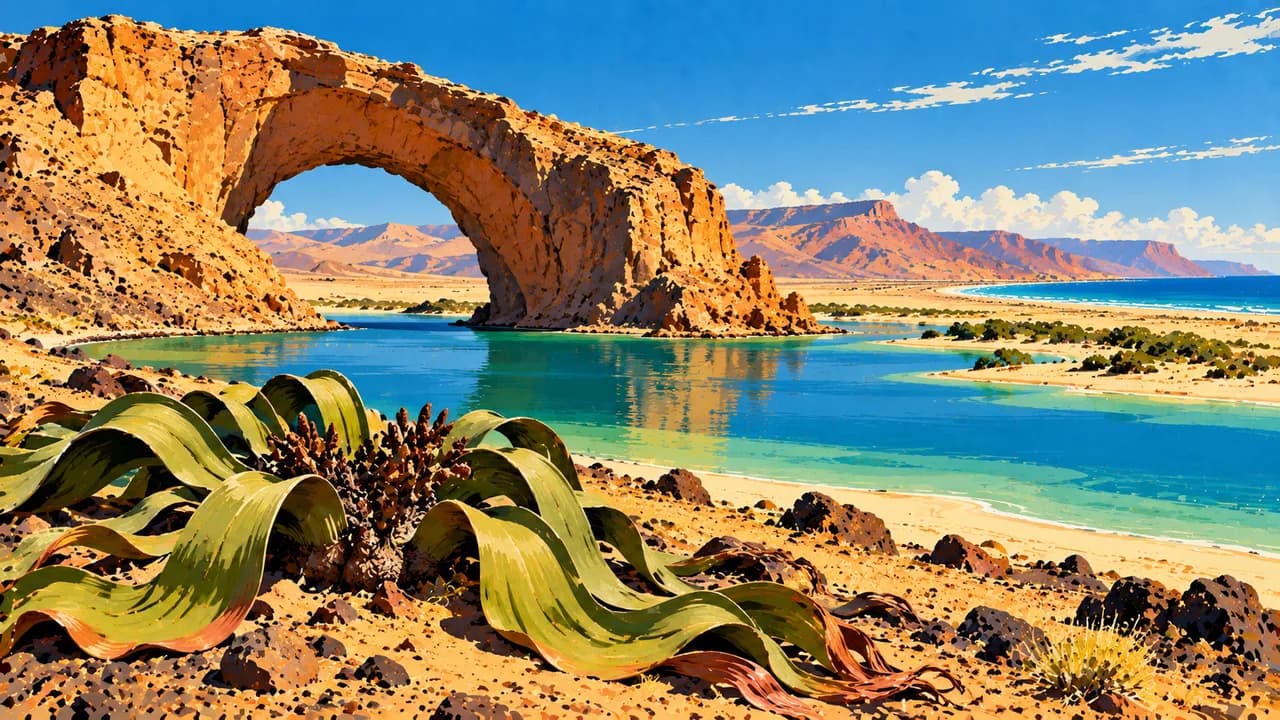
Around Malanje, Kalandula’s broad waterfalls contrast with Pungo Andongo’s dark rock formations. Lubango opens onto the Huíla highlands, the Tundavala escarpment and Serra da Leba’s winding road. Namibe, also known as Moçâmedes, introduces desert shores and welwitschia plants. Iona National Park protects part of the northern Namib, where remote travel requires specialist preparation.
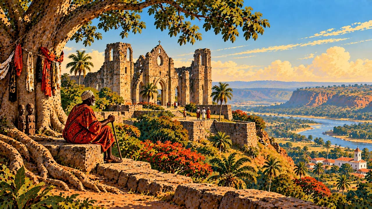
Huambo and Kuito add highland urban life and civil-war memory. Luena and Menongue extend the portrait into eastern river landscapes, while Ondjiva introduces the southern border region. Dundo’s museum preserves important Chokwe collections within a colonial mining history. Soyo lies near the Congo mouth. UNESCO-listed Mbanza Kongo preserves royal, archaeological and spiritual heritage of the former Kingdom of Kongo.
Regional kitchens include cassava or maize funge, chicken muamba and fish calulu. The cooler dry season around May to September often eases travel, though coastal cloud and highland chill are possible. Rainfall varies markedly by region and can make roads impassable. Check transport, guides and accommodation locally, and seek consent for photographs and community visits.
AI edited
- 21
- Provinces Since January 2025 Angola has 21 provinces, not 18. New ones include Icolo e Bengo, Moxico Leste and the now separate Cubango and Cuando. Climate cards are travel groups, not administrative divisions.
- ≈ 36.6 million
- Population Rounded result of Angola’s 2024 census according to the Instituto Nacional de Estatística. It refers to the census year, not 2026. UN projections use a different time reference and method.
- 1,246,700 km²
- Area Surface area in UNData, referenced to 2023. Angola combines Atlantic coastline, highlands, northern forests and the arid southwest. Cabinda forms part of the country as an exclave.
- Portuguese
- Language Portuguese is the official language and is used in administration, education and communication between regions. The flag denotes the language here.
- Umbundu, Kimbundu, Kikongo
- Other languages Examples of other languages include Umbundu, Kimbundu and Kikongo alongside Chokwe, Kwanyama and others. Usage and spelling vary by community and region.
- Kwanza
- Currency The Angolan kwanza has the international code AOA and is issued by Banco Nacional de Angola. Kz is a common abbreviation. Check cash supply and card acceptance locally.
- C
- Socket type Electrical Safety First lists type C with 220 V and 50 Hz. Check the local installation and device suitability. An adaptor does not convert voltage or frequency.
- Luanda
- Capital Luanda is the Atlantic coastal capital, with a port, bay promenade and São Miguel fortress. Confirm airport transfers and transport arrangements in advance. The clock shows the capital’s local time.
- Right-hand traffic
- Driving side Traffic drives on the right. Avoid night driving and unverified routes off established roads. Mines, road damage and rain can make travel dangerous. Consider current regional advice and knowledgeable local support.
- UTC+1
- Time zone West Africa Time applies throughout the year without seasonal clock changes. The clock uses Africa/Luanda.
- 1
- UNESCO cultural site Mbanza Kongo, former capital of the Kingdom of Kongo, has been cultural World Heritage since 2017. Sona sand drawings are intangible heritage and not counted. Tentative list sites are excluded.
Angola on the map

Map data: geoBoundaries (CC BY 4.0), © OpenStreetMap contributors (ODbL), Natural Earth
Climate and best time to travel
The cooler dry season, known as cacimbo, falls broadly from May to September. The coast can be cloudy and highland nights cold. The southwest remains much drier than the north. Rain begins regionally around September to November and lasts roughly until April. It can make roads and river crossings impassable. Months describe broad climate windows and guarantee neither safe access nor surf conditions, calm seas or animal sightings. Waterfalls may carry more water after rain, while paths and viewpoints can be more hazardous. Germany’s Foreign Office advises avoiding travel to Cabinda, Lunda Norte and Lunda Sul where possible. Mine risks, armed robbery and demonstrations require current regional guidance. Avoid night driving and unverified journeys off established roads. Confirm protected-area visits, permissions, guides and transport locally. Remote desert travel requires specialist preparation and adequate supplies.
Destinations in Angola
 AI generated
 AI generated
 AI generated
 AI generated
 AI generated
 AI generated
 AI generated
 AI generated
 AI generated
 AI generated
 AI generated
 AI generated