Gabon
Rainforests, Atlantic beaches and river landscapes meet mask art, vibrant urban cultures and diverse traditions.
Worth coming back!
Wanderlama keeps growing with new destinations, helpful information and exciting features. Check back soon and discover what is new!
Travel to Gabon
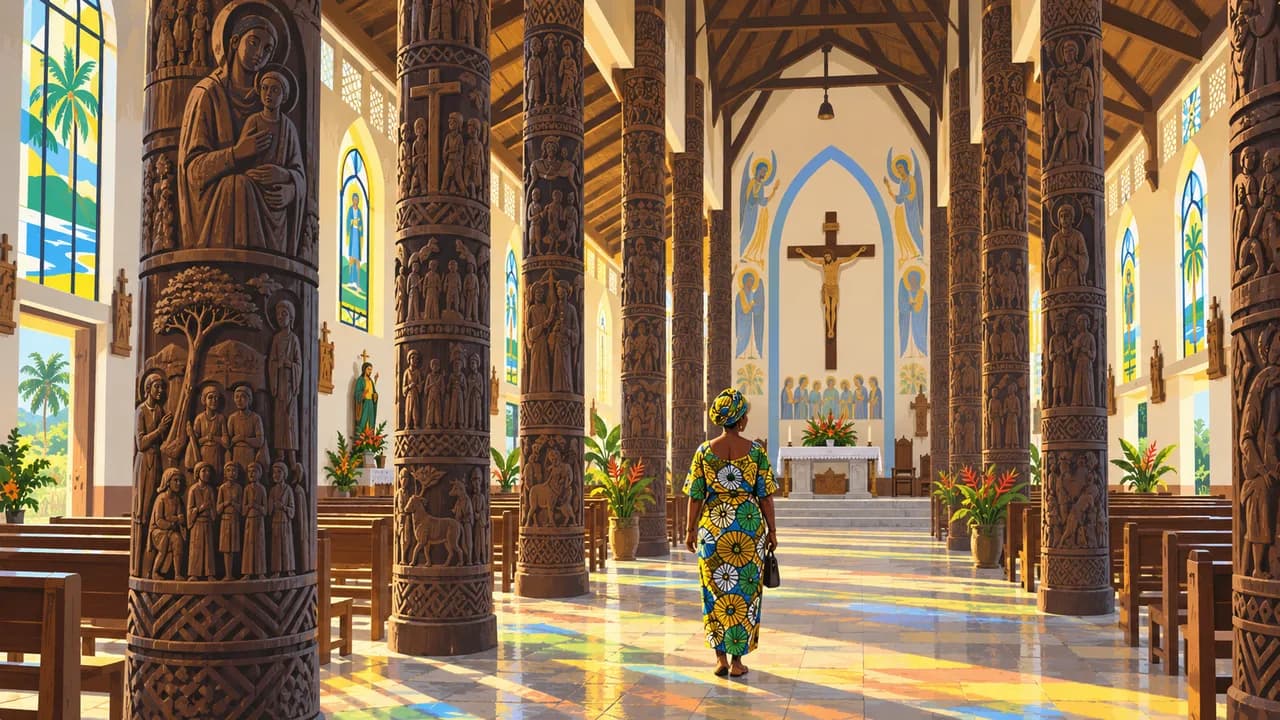
Gabon lies on the equator along Central Africa’s Atlantic coast, where rainforest, rivers, lagoons and savannas shape a varied landscape. Libreville, the capital, combines seafront neighbourhoods, markets and museums. French is official, while Fang, Myènè, Punu and other community languages reflect cultural diversity. Carving, masks, music and urban life complement the country’s wildlife landscapes.
Travel requires advance planning and current official advice. Confirm entry requirements, park permissions, local guides, accommodation and transfers before departure. Crime affects cities and some beaches, while demonstrations and security checks can disrupt journeys. Rain and poorly maintained roads complicate overland travel. Carry identification, respect photography restrictions and check health advice and evacuation cover for remote areas.
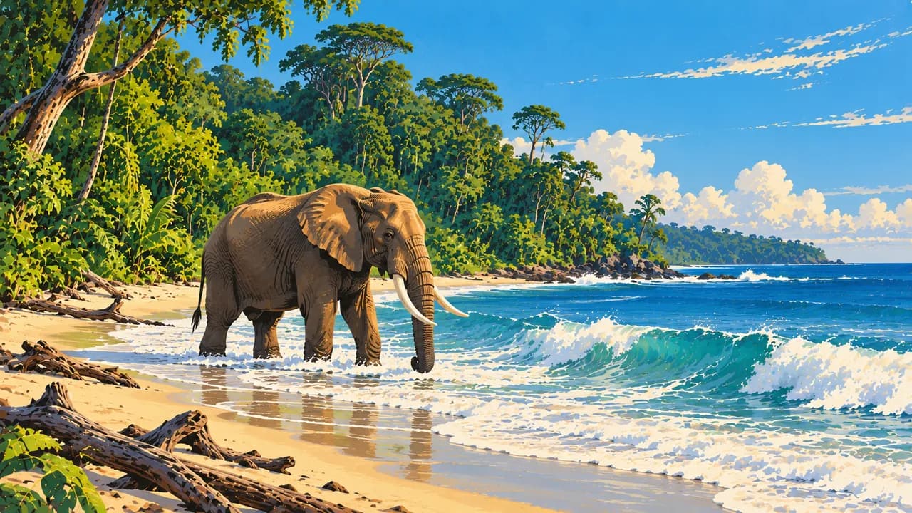
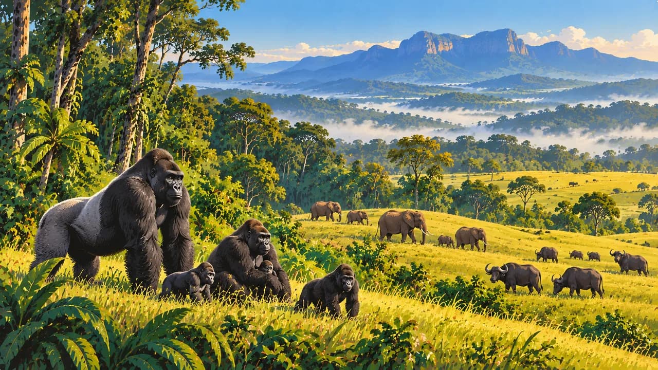
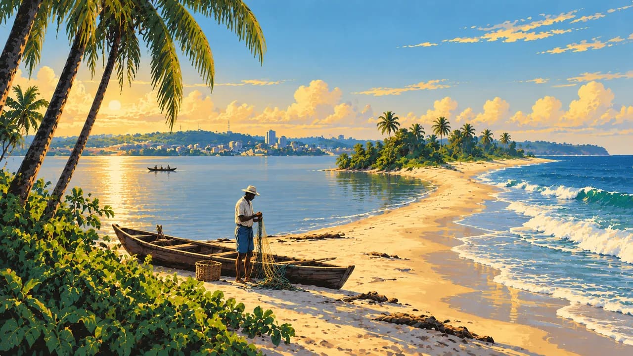
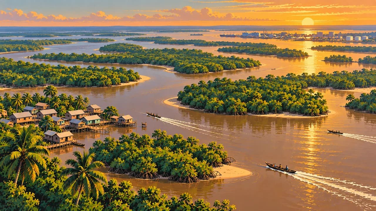
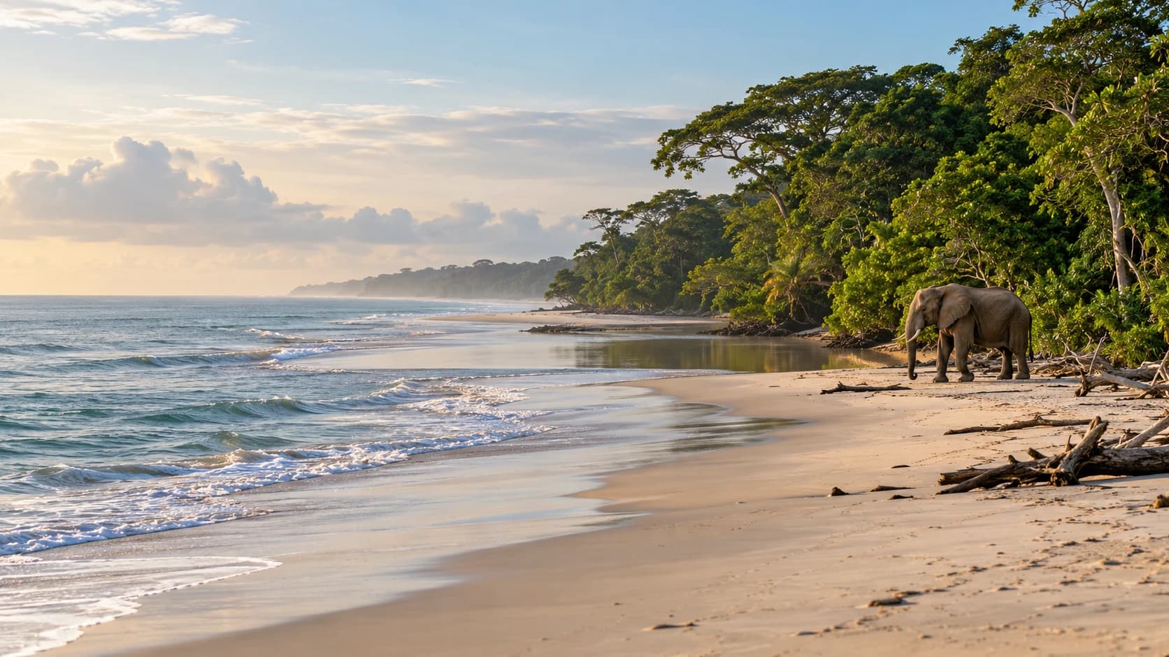
Pointe-Denis faces Libreville across the estuary, with sandy shores near Pongara’s forests and turtle habitats. Port-Gentil adds maritime and petroleum heritage near the Ogooué delta. Loango combines Atlantic beaches, lagoons, savanna and forest inhabited by elephants, hippos and western lowland gorillas. Their presence does not guarantee beach encounters. Offshore humpback whales are seasonal, with sightings and boat departures dependent on conditions.
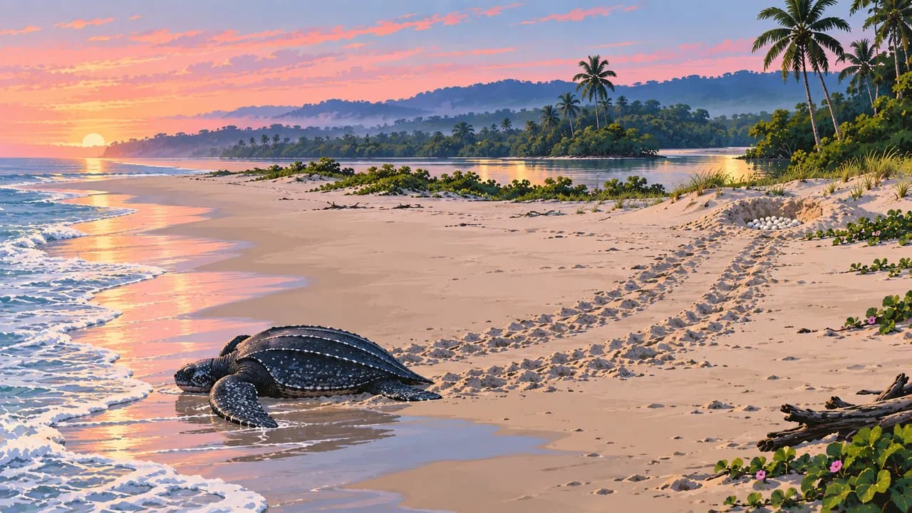
Farther south, Mayumba’s coast is important for nesting leatherback turtles. Guided visits must follow conservation rules on light and distance. Moukalaba-Doudou protects forest and savanna habitats, with gorilla conservation involving nearby communities. Tracking opportunities, permits and available guides need confirmation. Respect community consent and never approach or feed wildlife independently.
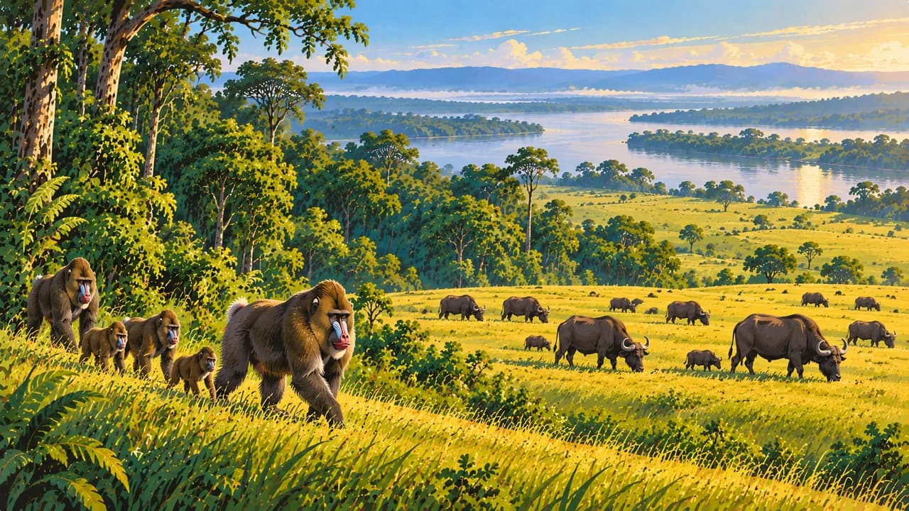
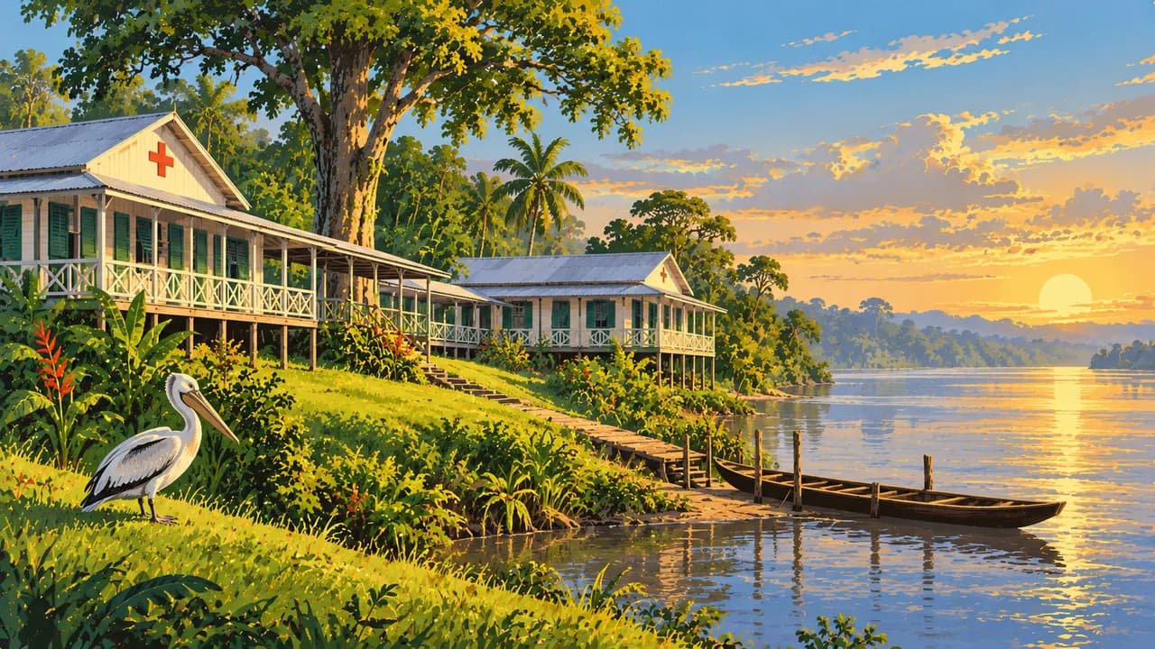
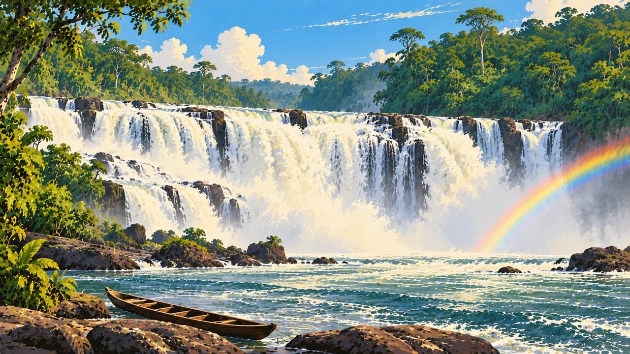
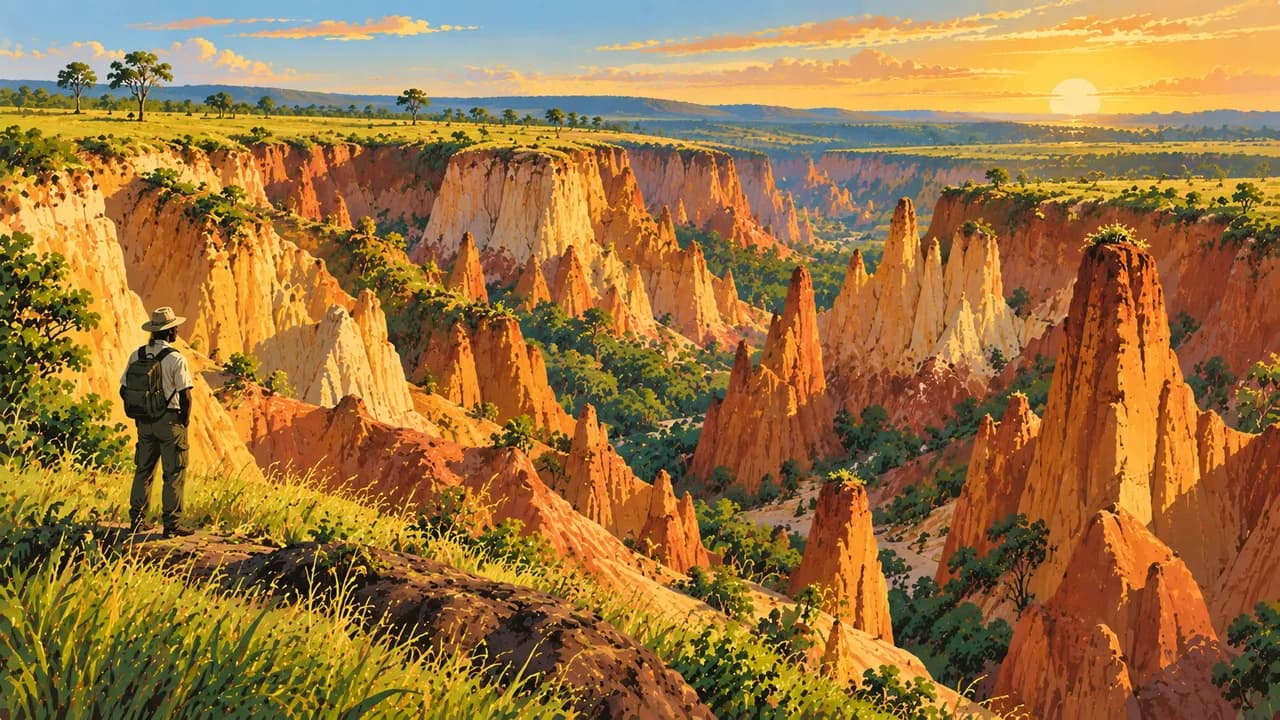
Lambaréné introduces the Ogooué’s river-and-lake landscapes and Albert Schweitzer’s hospital history. Lopé-Okanda is mixed UNESCO World Heritage, combining forest and relict savanna, mandrill habitats, rock engravings and archaeological sites. Ivindo is natural World Heritage, with rainforest, Kongou Falls and forest clearings. Franceville adds the southeastern interior and landscapes around Lékoni. The Trans-Gabon railway links Owendo with inland stations, but services and onward access need checking.
Regional food includes fish, cassava, plantain and sauces made from palm fruit or groundnuts. Humidity persists, though the main comparatively dry season generally falls between June and September. Wildlife seasons differ from easier travel conditions. Allow time for weather, transport changes and arrangements.
AI edited
- 9
- Provinces The nine provinces are Estuaire, Haut-Ogooué, Moyen-Ogooué, Ngounié, Nyanga, Ogooué-Ivindo, Ogooué-Lolo, Ogooué-Maritime and Woleu-Ntem. Climate cards group destinations rather than reproduce administrative divisions.
- ≈ 2.59 million
- Population Rounded UN projection for 2025 using the medium-fertility variant, 2.593 million. This dated estimate is neither a new census nor a population count for 2026.
- 267,668 km²
- Area Surface area according to UNData, referenced to 2023. Gabon straddles the equator and combines Atlantic coast, river basins, rainforest and savannas.
- French
- Language The constitution describes French as the official working language. The language flag denotes French rather than territorial affiliation. The constitution also protects and promotes the country’s languages.
- Fang, Myènè, Punu
- Other languages Examples of community languages include Fang, Myènè and Punu. Others include Nzebi and further languages with regional variants. None is equally widespread everywhere.
- CFA franc
- Currency The Central African CFA franc has the code XAF and is issued by BEAC. FCFA is a common written abbreviation. It is distinct from the West African CFA franc, XOF.
- C
- Socket type Electrical Safety First lists type C with 220 V and 50 Hz. Check local installation, earthing and device suitability. An adaptor does not convert voltage or frequency.
- Libreville
- Capital Libreville on the Atlantic coast is the capital and lies in Estuaire province. Owendo is the neighbouring port and railway location. Pointe-Denis lies opposite across the estuary.
- Right-hand traffic
- Driving side Traffic drives on the right. Rain and poor roads complicate overland journeys. Avoid night driving, observe checkpoints and carry identification. Arrange reliable transport and required permissions in advance.
- UTC+1
- Time zone West Africa Time applies throughout the year without seasonal clock changes. The capital clock uses the IANA identifier Africa/Libreville. The same time applies nationwide.
- 1
- UNESCO cultural site Lopé-Okanda is mixed World Heritage with cultural and natural criteria and counts once here. Ivindo is purely natural. Gabon thus has two World Heritage properties, but only one with cultural criteria.
Gabon on the map

Map data: geoBoundaries (CC BY 4.0), © OpenStreetMap contributors (ODbL), Natural Earth
Climate and best time to travel
Gabon has a hot, humid equatorial climate. June to September is comparatively dry in many areas, though rain remains possible. Cards show broad planning windows and guarantee neither park access nor road conditions or wildlife sightings. For Mayumba, November to February refers to part of the leatherback nesting season, particularly December and January, rather than the driest travel period. Nest visits require authorised guides and rules on lighting and distance. Humpback whales occur seasonally offshore, especially July to September, while sightings and boat departures remain weather-dependent. Gorilla tracking, mandrill observation and forest clearings require confirmed permits and available specialist support. Rain can flood roads or restrict access. Confirm rail, boat and air services, accommodation and onward transfers in advance. Follow current security and health advice, avoid night driving, carry identification and respect photography restrictions. Currents and surf can make swimming hazardous. Community rights and protected-area rules take priority.