Democratic Republic of the Congo
République démocratique du Congo
Great rivers, rainforests and volcanic landscapes meet rumba, vibrant urban cultures and diverse craftsmanship.
Worth coming back!
Wanderlama keeps growing with new destinations, helpful information and exciting features. Check back soon and discover what is new!
Travel to the Democratic Republic of the Congo
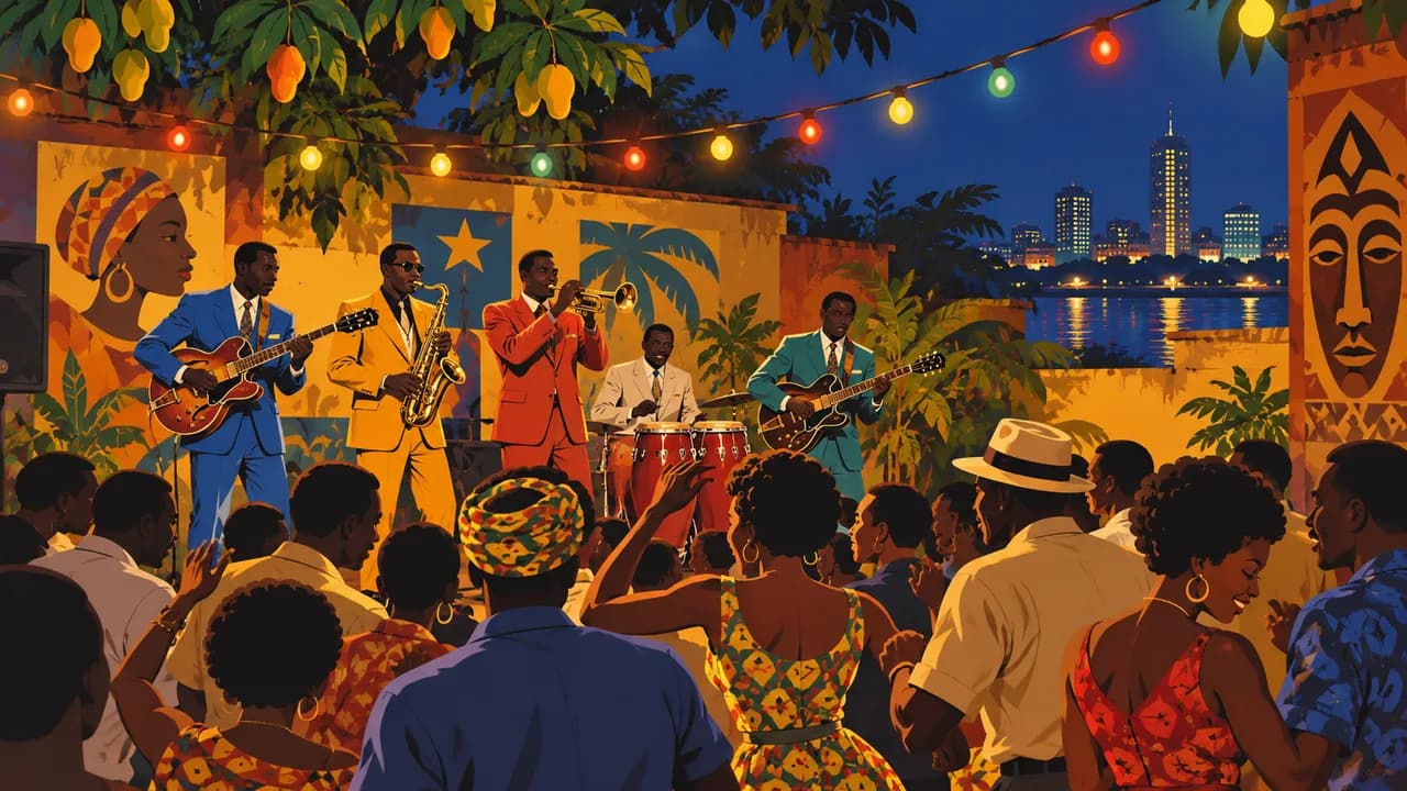
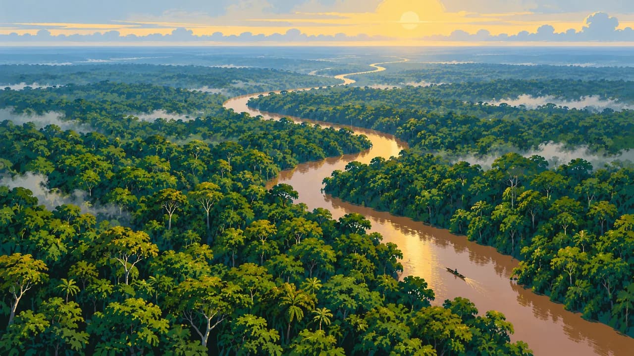
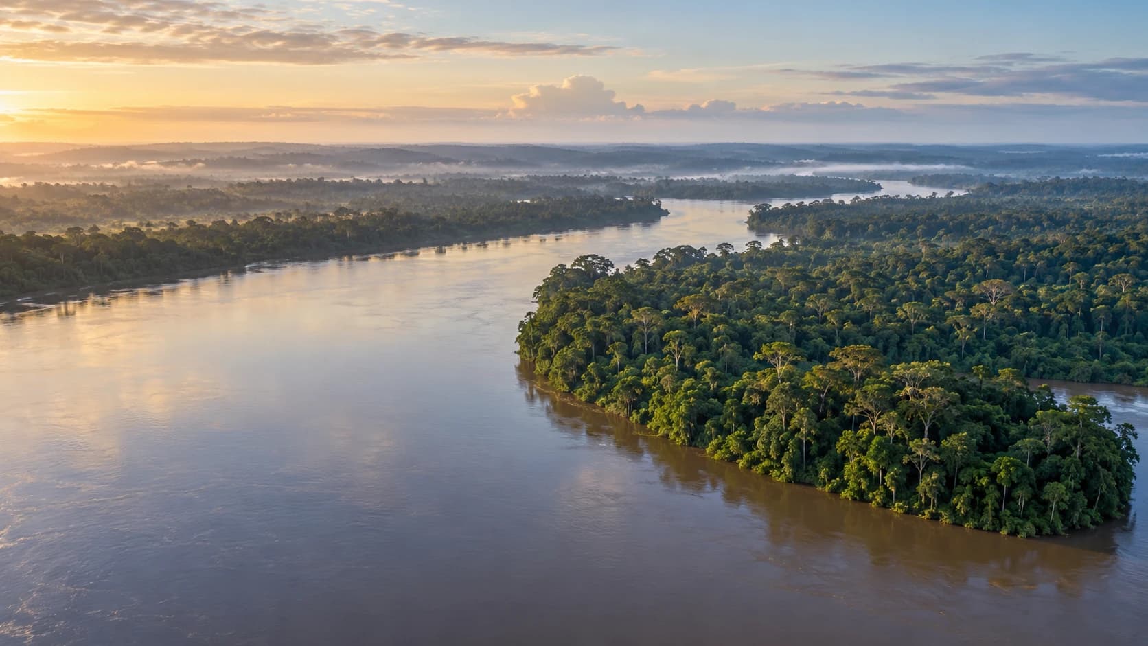
The Democratic Republic of the Congo spans equatorial rainforest, savannas and eastern volcanic highlands. The Congo River connects landscapes and communities, while a narrow Atlantic coast opens westward. Kinshasa, opposite Brazzaville in the separate Republic of the Congo, combines museums, contemporary art and a living rumba tradition shared by both countries.
This is a country portrait, not a current touring recommendation. Germany’s Foreign Office warns against travel to numerous regions, including the Kivus, Ituri and Tshopo, and advises against nonessential travel elsewhere, including Kinshasa. Armed conflict, kidnapping, crime and disease outbreaks affect planning. Check current official advice, health requirements, evacuation cover and transport before any essential journey.
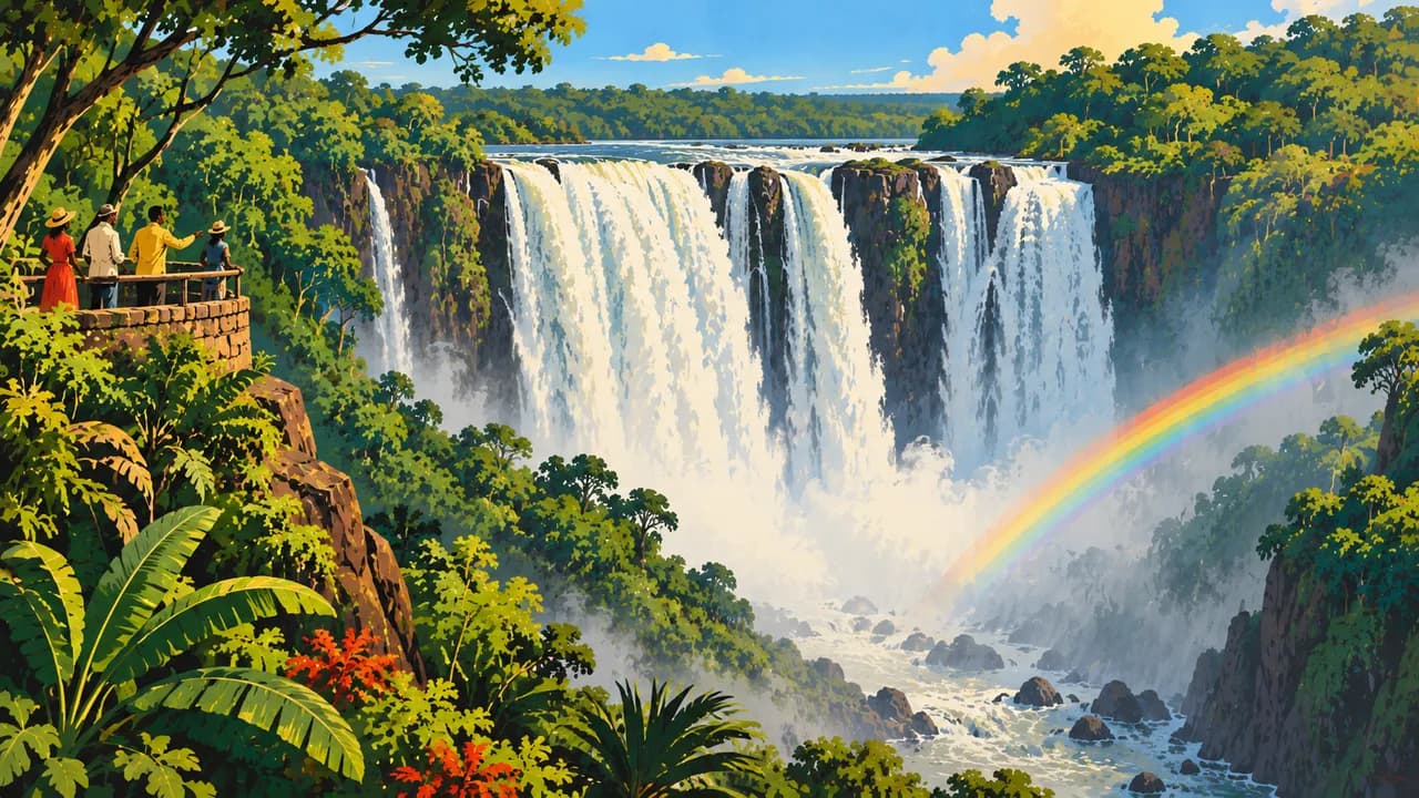
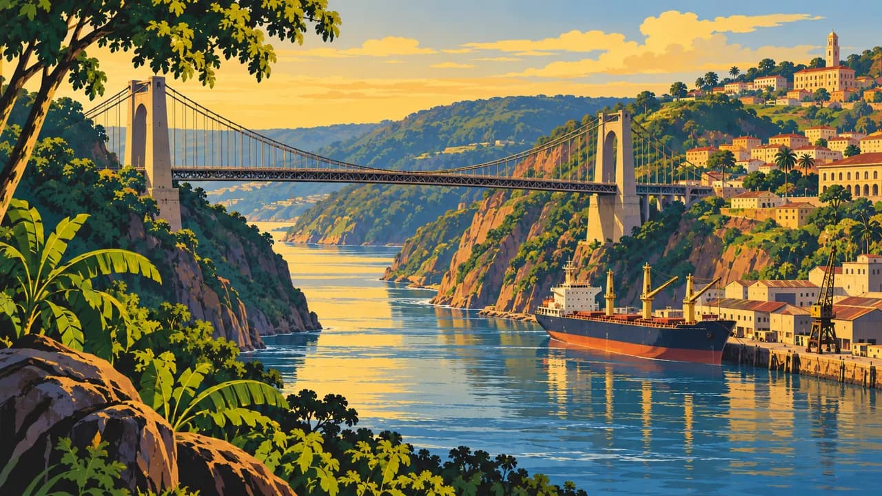
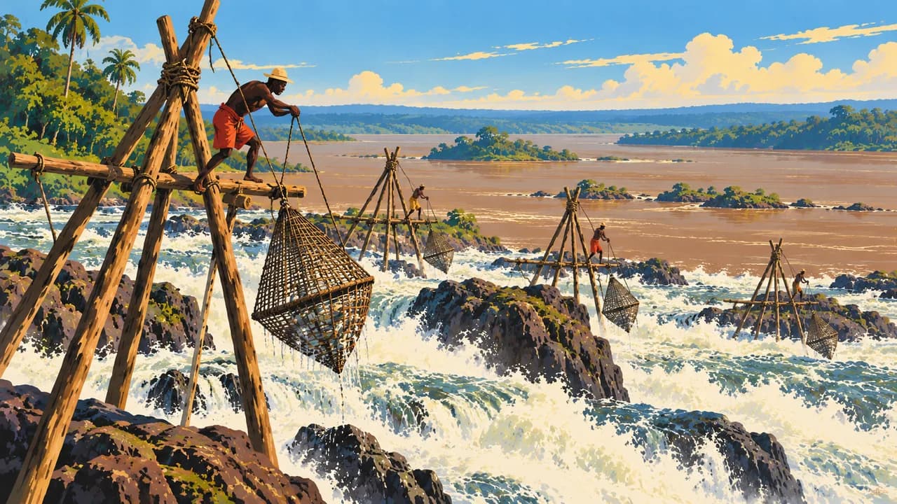
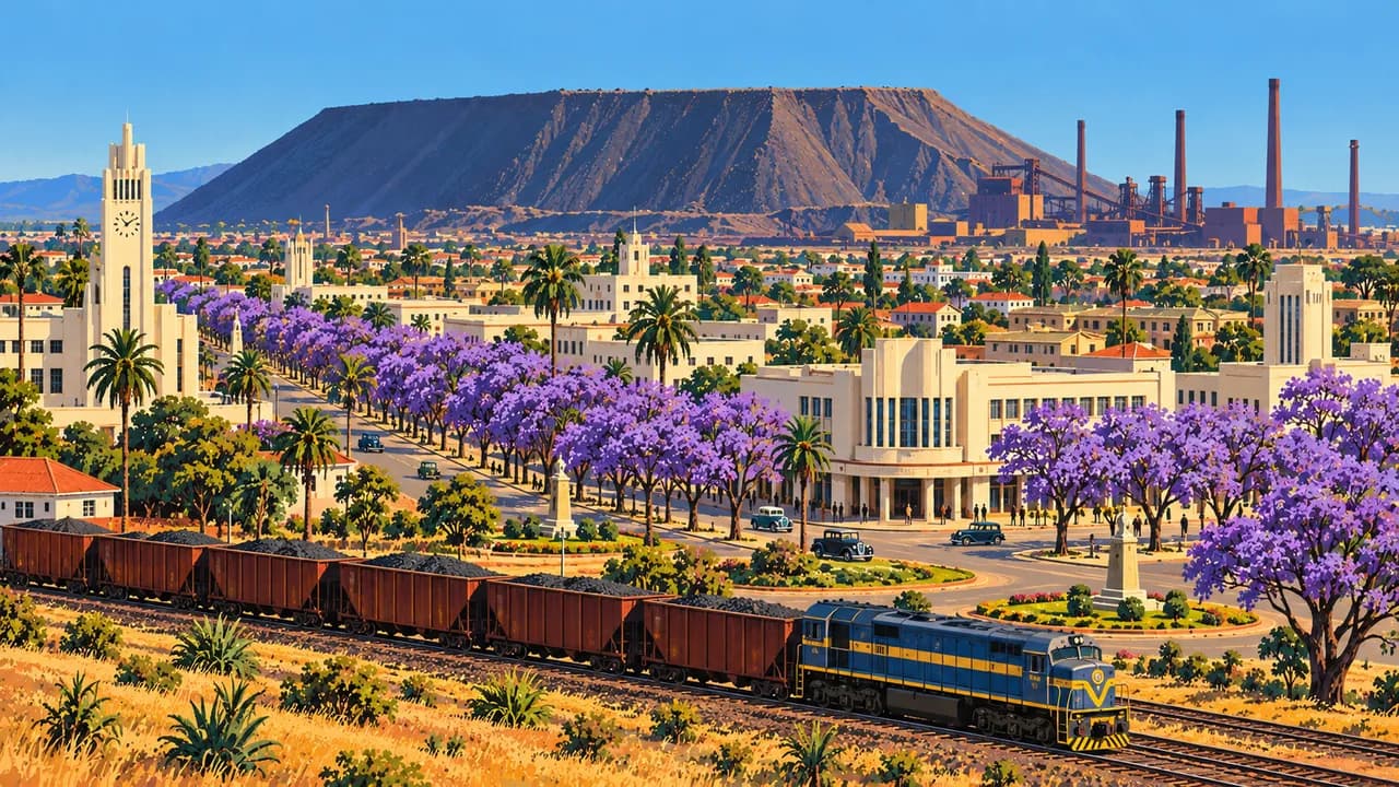
In the west, Matadi introduces the Congo’s port landscapes and transport history. Zongo Falls plunge over rock on the Inkisi River. Lubumbashi in the southern Copperbelt adds mining heritage, museums and malachite craftsmanship. These places are geographically distinct rather than stops on a simple overland circuit.
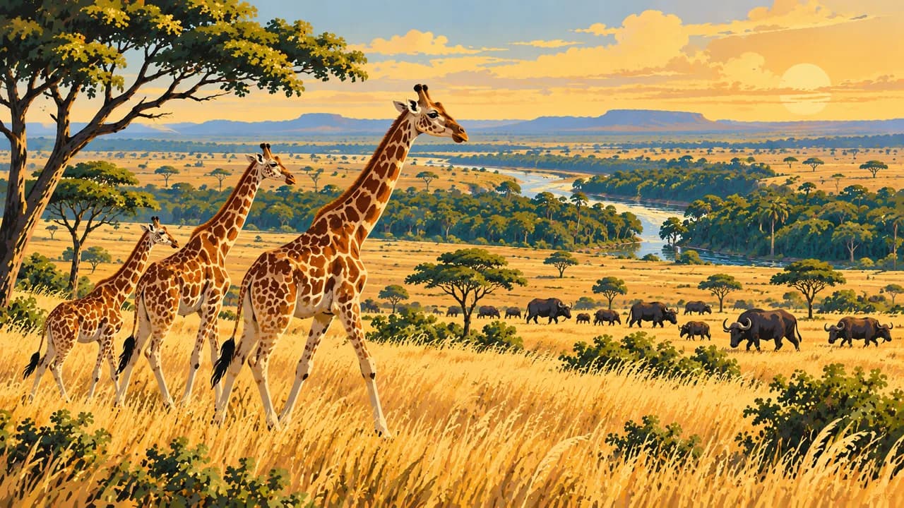
Salonga protects extensive lowland rainforest and bonobo habitats. Kisangani is a river city near the equator. Farther northeast, Garamba combines savanna and gallery forest, with elephants and Kordofan giraffes, while the Okapi Wildlife Reserve protects Ituri rainforest and okapi habitat. Indigenous communities’ knowledge and rights are integral to these landscapes. Wildlife sightings and visitor access are never guaranteed.
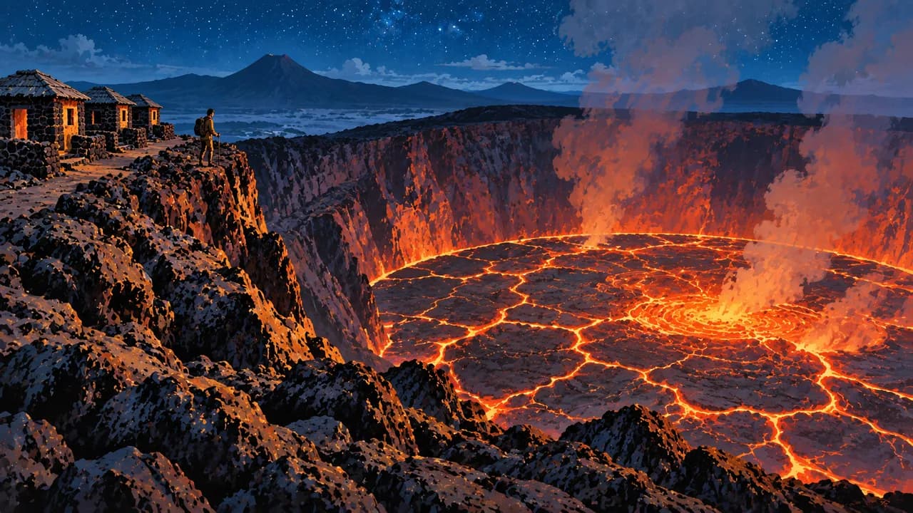
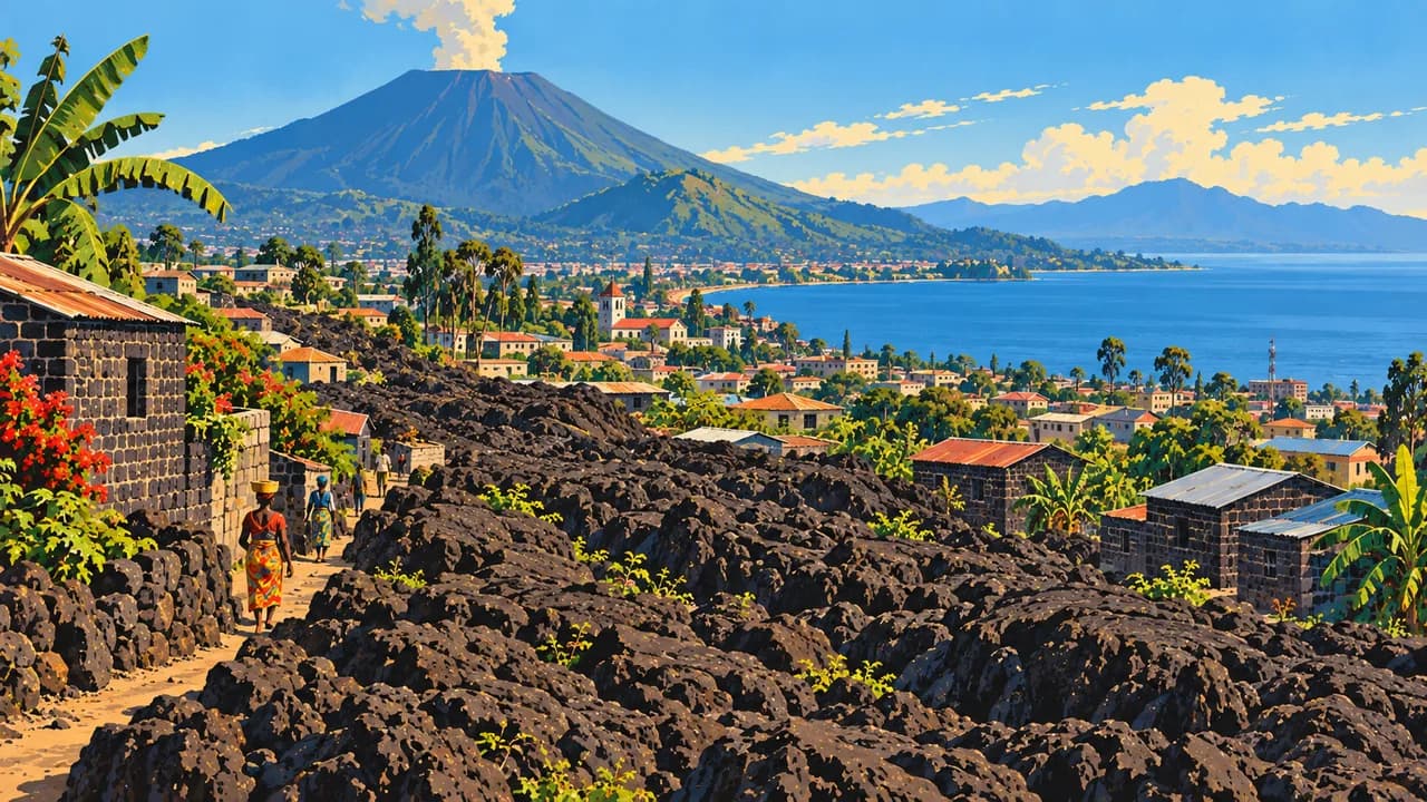
Goma and Bukavu stand on Lake Kivu, near Virunga and Kahuzi-Biega respectively. Their volcanic and forest landscapes include mountain and eastern lowland gorilla habitats. Conflict makes this region unsuitable for ordinary tourism. Virunga currently lists gorilla and Nyiragongo treks as closed until further notice. Do not assume park descriptions imply open trails or available flights.
French is official, alongside national languages Lingala, Kikongo, Swahili and Tshiluba. Regional kitchens feature cassava, pondu made from cassava leaves, fufu and fish. Rainfall varies across the equator, with cooler conditions at altitude and different dry seasons north and south. Flooding and damaged roads can interrupt journeys. Respect community consent, photography restrictions and conservation rules.
AI edited
- 26
- Provinces The constitution names Kinshasa city with provincial status and 25 other provinces. The current division has applied since 2015. Climate cards group destinations rather than reproduce provincial boundaries.
- ≈ 112.8 million
- Population Rounded UN projection for 2025 using the medium-fertility variant, 112.832 million. This dated estimate is neither a new census nor a population count for 2026.
- 2,345,410 km²
- Area Surface area according to UNData, referenced to 2023. The country includes the central Congo Basin, savannas, eastern highlands and a narrow Atlantic coast. Distinguish it from the neighbouring Republic of the Congo.
- French
- Language French is the constitutional official language. The French flag denotes the language here rather than territorial affiliation. Language knowledge varies by location and community.
- Lingala, Kikongo, Swahili, Tshiluba
- National languages These four languages have constitutional recognition as national languages. Many other community languages are also spoken. None of the four is equally widespread everywhere.
- Congolese franc
- Currency The Congolese franc has the code CDF and is issued by the Banque Centrale du Congo. FC is a common abbreviation. It differs from the Republic of the Congo’s CFA franc.
- C · D · E
- Socket types Electrical Safety First lists types C, D and E with 220 V and 50 Hz. Check local installation, earthing and device suitability. An adaptor does not convert voltage or frequency.
- Kinshasa
- Capital The capital on the Congo River faces Brazzaville, capital of the separate Republic of the Congo. Kinshasa has provincial status. The clock starts with its local time, with Lubumbashi also available to select.
- Right-hand traffic
- Driving side Traffic drives on the right under Article 10 of the road code. Insecure roads, checkpoints and limited infrastructure make journeys difficult. This tile is not a recommendation for self-drive travel.
- UTC+1 · UTC+2
- Time zones The west including Kinshasa uses UTC+1 throughout the year. The east and southeast including Kisangani, Goma and Lubumbashi use UTC+2. There are no seasonal clock changes. The selector uses Africa/Kinshasa and Africa/Lubumbashi.
The Democratic Republic of the Congo on the map

Map data: geoBoundaries (CC BY 4.0), © OpenStreetMap contributors (ODbL), Natural Earth
Climate and best time to travel
Climate ranges from humid lowland rainforest to cooler highlands and seasonally drier savannas. Rainy seasons differ north and south of the equator. Rain is common from March to November in the north and especially October to May in the south. Heavy rain can flood roads and interrupt connections. Climatically drier months do not mean safe travel. Germany’s Foreign Office warns against travel to numerous parts of the country and advises against nonessential travel elsewhere, including Kinshasa. Kisangani, Garamba, the Okapi Wildlife Reserve and the Kivu destinations lie in provinces covered by the regional warning. Virunga lists gorilla and Nyiragongo treks as closed until further notice. These landscape descriptions do not establish open park access. Before essential journeys, check current security and health advice, entry requirements, permissions, available transport and insurance cover. Do not assume animal sightings, flights or boat crossings. Respect photography restrictions, community rights and conservation rules.