Cameroon
Cameroun
Atlantic coasts, rainforests and highlands meet palace cultures, lively cities and diverse traditions.
Worth coming back!
Wanderlama keeps growing with new destinations, helpful information and exciting features. Check back soon and discover what is new!
Travel to Cameroon
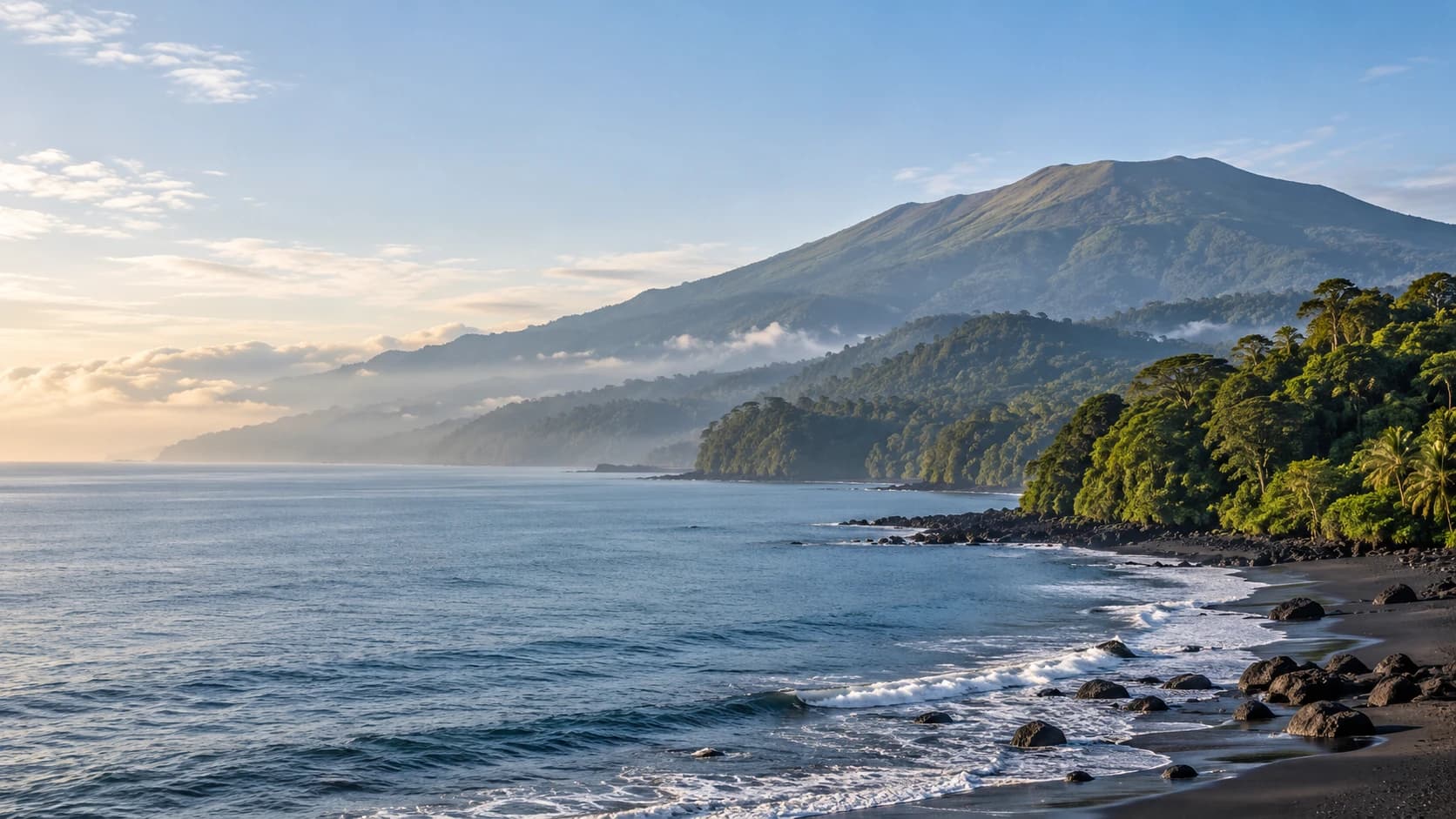
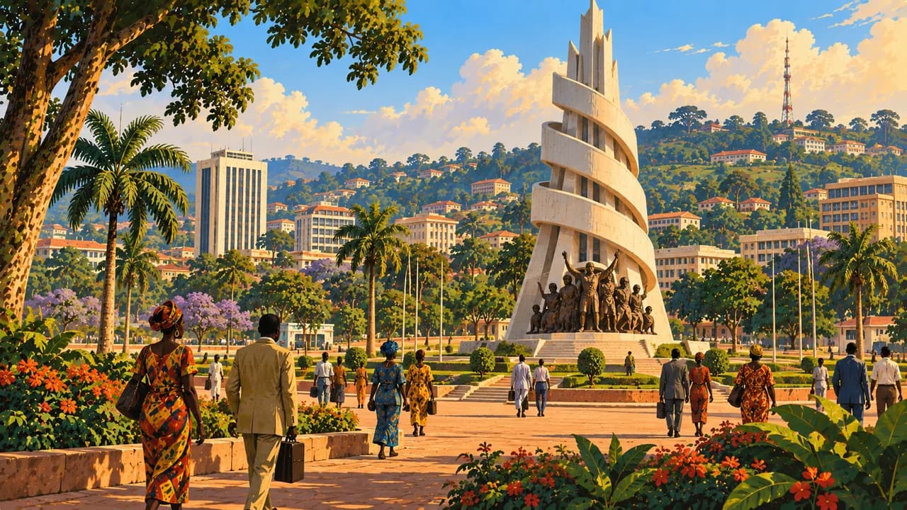
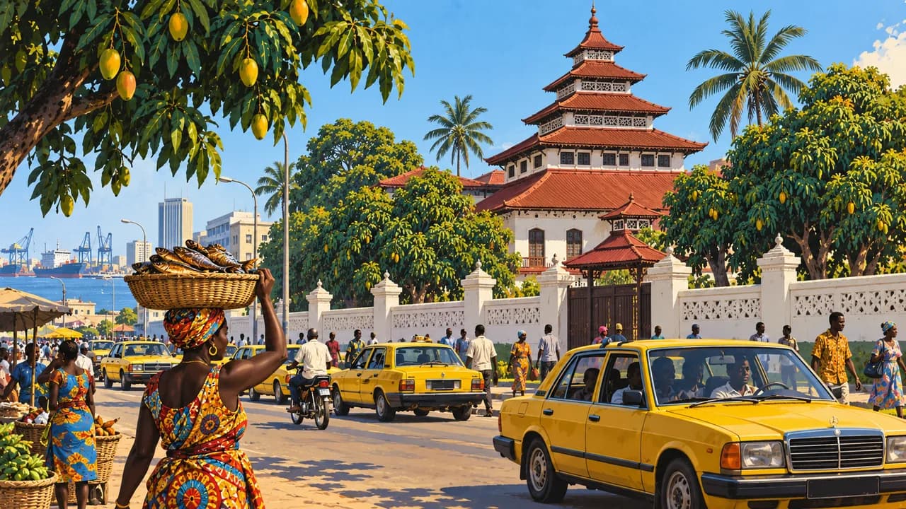
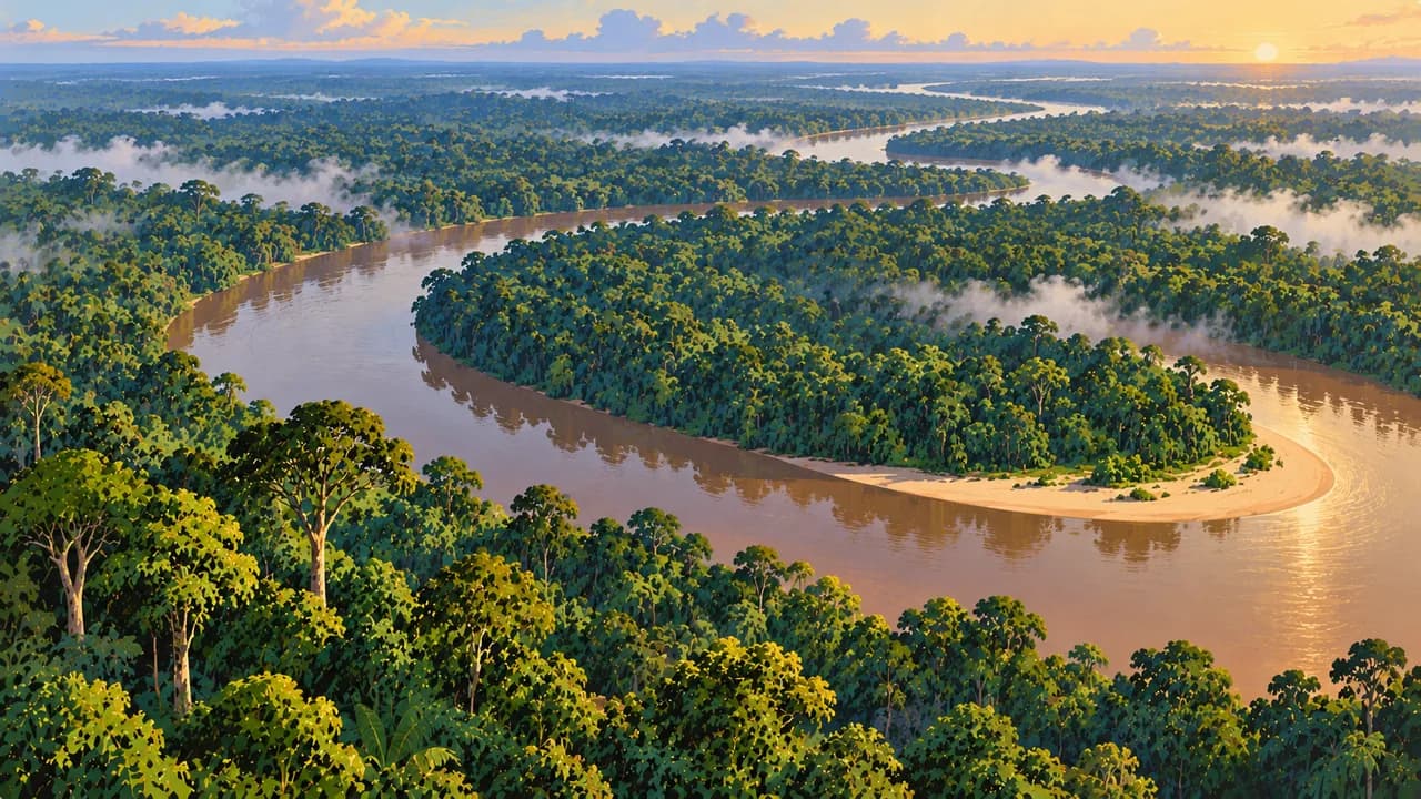
Cameroon combines Gulf of Guinea shores, equatorial rainforest, volcanic highlands and northern savannas. Douala is a port and cultural centre shaped by Sawa communities and Ngondo traditions. Yaoundé, the capital, adds museums, markets and hills. English and French are official, alongside many community languages and regional identities.
The landscape portrait is not a recommendation for unrestricted touring. Germany’s Foreign Office warns against travel to the Far North, North-West, South-West and border areas with Nigeria, Chad and the Central African Republic, including Bakassi. It advises against travel to Adamaoua and Nord. Conflict, kidnapping and crime affect planning. Check official advice, permissions, health requirements and transport before departure.
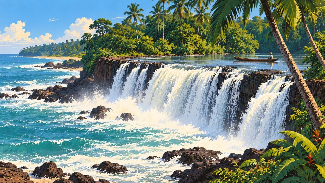
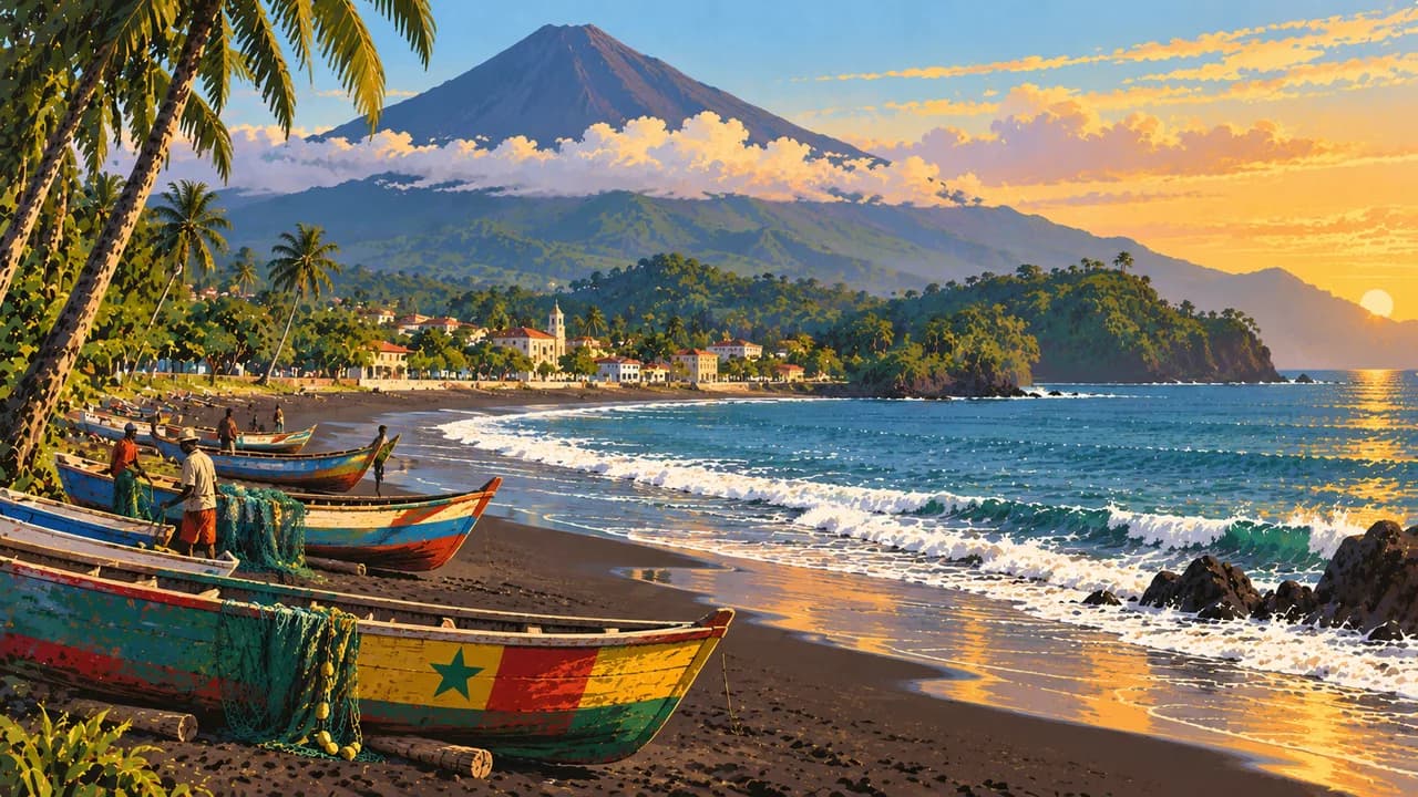
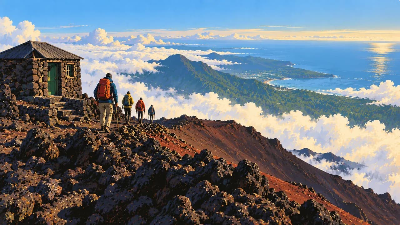
Kribi combines Atlantic beaches with the Lobé waterfalls meeting the sea. Limbe’s dark volcanic shores and Buea below active Mount Cameroon contrast with Korup’s rainforest. Limbe, Buea and Korup lie in the South-West warning region. Do not assume descriptions of beaches, mountain trails or parks mean safe or available access.
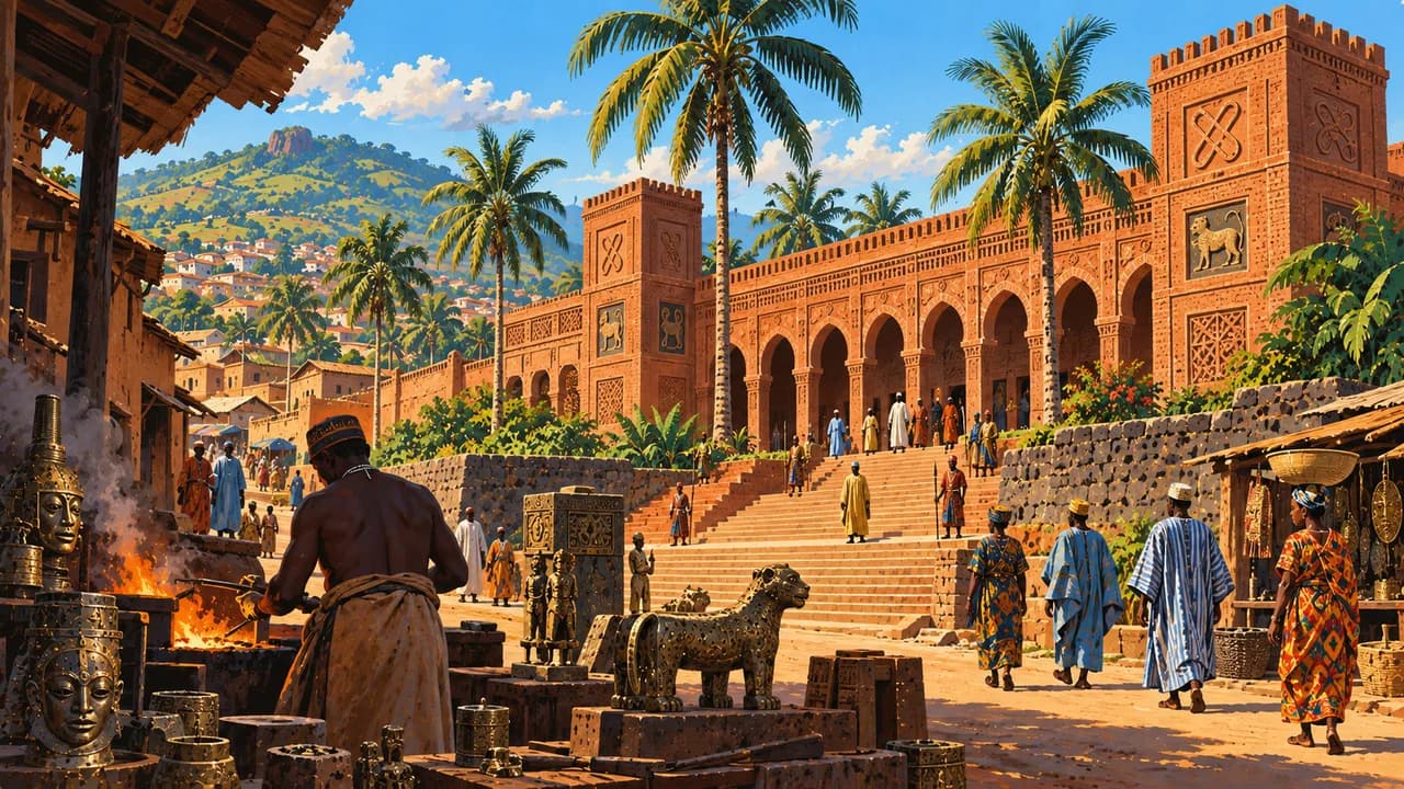
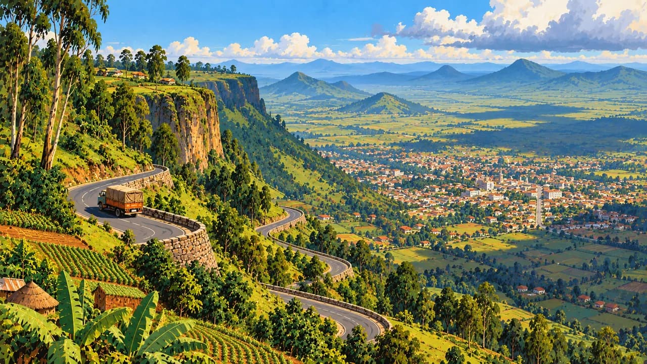
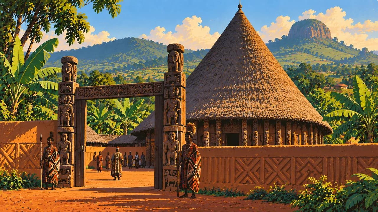
Around Bafoussam, the western Grassfields introduce Bamileke chiefdoms, palace architecture and craftsmanship. Foumban adds Bamoun royal heritage, museums and the Nguon governance tradition. Bamenda reflects the northwestern highlands and their cultural diversity, but lies within the North-West warning region. Respect community rules and consent around ceremonies and photography.
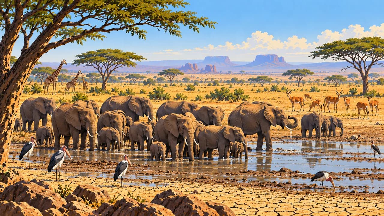
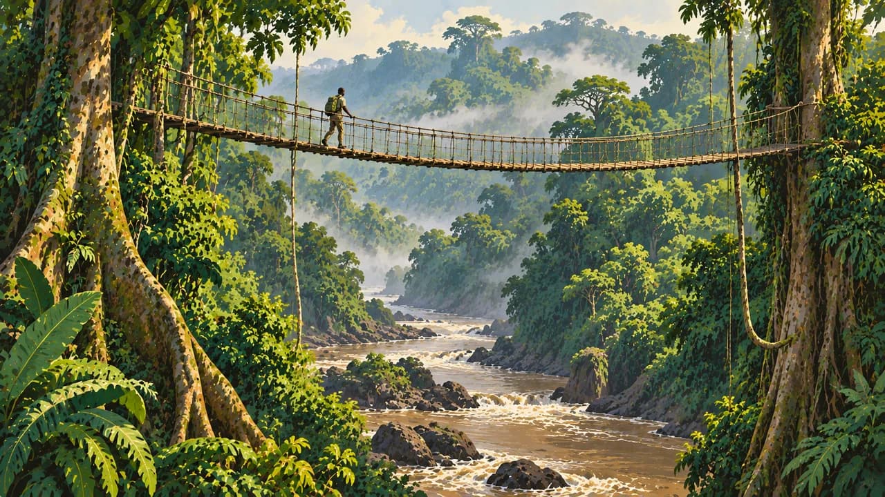
Dja protects rainforest and primate habitats. Lobéké forms Cameroon’s part of the transboundary Sangha Trinational World Heritage property. Forest clearings shelter elephants, gorillas and birds, without guaranteed sightings. Baka communities’ rights matter alongside conservation. Confirm park permissions, specialist guides and access rather than assuming safari infrastructure.
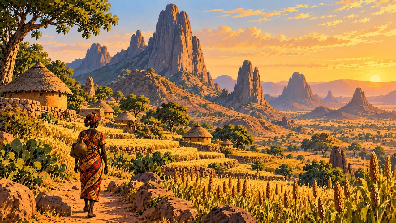
Ngaoundéré introduces the Adamaoua plateau and lamidat heritage, while Garoua lies in the northern savanna zone. Maroua, Rhumsiki’s Mandara landscapes and Waza represent the Far North. Nearby Diy-Gid-Biy preserves a UNESCO-listed cultural landscape of stone structures and agricultural terraces. Heritage status does not override travel warnings.
Regional kitchens include ndolè, koki, fish, cassava and plantain. Rainfall varies sharply between wet coasts, highlands and the dry north. Heavy rain can disrupt roads. Allow time for changing conditions and local arrangements.
AI edited
- 10
- Regions Cameroon’s ten regions are Adamawa, Centre, East, Far North, Littoral, North, North-West, West, South and South-West. Climate cards group destinations rather than reproduce administrative divisions. West Region is distinct from North-West.
- ≈ 29.9 million
- Population Rounded UN projection for 2025 using the medium-fertility variant, 29.879 million. This dated estimate is neither a new census nor a population count for 2026.
- 475,650 km²
- Area Surface area according to UNData, referenced to 2023. The country combines Atlantic coast, rainforest, highlands and northern savannas. Other sources may differ because of different area definitions.
- English, French
- Languages English and French are constitutional official languages of equal status. Flags denote languages here rather than territorial affiliation. Knowledge and everyday usage vary by region and community.
- Fulfulde, Ewondo, Duala
- Other languages Examples of community languages include Fulfulde, Ewondo and Duala. Cameroon has many other languages and regional variants. None of these languages is equally widespread everywhere.
- CFA franc
- Currency The Central African CFA franc has the code XAF and is issued by BEAC. FCFA is a common written abbreviation. It is distinct from the West African CFA franc, XOF.
- C · E
- Socket types Electrical Safety First lists types C and E with 220 V and 50 Hz. Check local installation, earthing and device suitability. An adaptor does not convert voltage or frequency.
- Yaoundé
- Capital Yaoundé is Cameroon’s capital in Centre Region. Douala is a different city and a major port and economic centre. The IANA identifier Africa/Douala also supplies the capital’s local time.
- Right-hand traffic
- Driving side Traffic drives on the right. Poor roads, rain, checkpoints and accident risks complicate journeys. Avoid night driving and check the condition of vehicles and drivers. Regional warnings still apply in climatically favourable conditions.
- UTC+1
- Time zone West Africa Time applies throughout the year without seasonal clock changes. The capital clock uses Africa/Douala, Cameroon’s IANA identifier. The same offset applies nationwide.
- 1
- UNESCO cultural site Diy-Gid-Biy in the Mandara Mountains has been cultural World Heritage since 2025. Dja and Sangha Trinational, including Cameroon’s Lobéké, are natural heritage and not counted. Nguon and Ngondo are intangible heritage.
Cameroon on the map

Map data: geoBoundaries (CC BY 4.0), © OpenStreetMap contributors (ODbL), Natural Earth
Climate and best time to travel
Cameroon’s climate varies sharply. Coasts and southern rainforest remain humid, highlands are cooler and the north has a more pronounced dry season. December to February is comparatively less rainy in many southern and western areas. Rain remains possible around Douala and along the coast. Months are broad climate windows, not assurances of safe travel, park access or wildlife sightings. No travel window is recommended for Limbe, Buea, Korup, Bamenda or the northern destinations. Germany’s Foreign Office warns against travel to North-West, South-West, Far North and border areas with Nigeria, Chad and the Central African Republic, as well as Bakassi. It advises against travel to Adamawa and North. Lobéké’s card deliberately gives no general travel months because of its border location and access requiring careful confirmation. Check specific approaches and park sectors with authorities and park management. Confirm permits and specialist support for Dja and Lobéké, respecting community rights. Rain can flood roads and trigger landslides. Check vehicles, accommodation and transfers in advance, avoid night journeys and follow current security and health advice. Surf and currents can make swimming hazardous.
Destinations in Cameroon
 AI generated
 AI generated
 AI generated
 AI generated
 AI generated
 AI generated
 AI generated
 AI generated
 AI generated
 AI generated
 AI generated
 AI generated