Chad
تشاد · Tchad
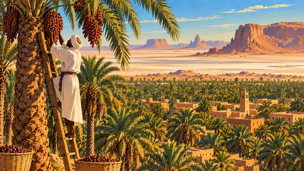
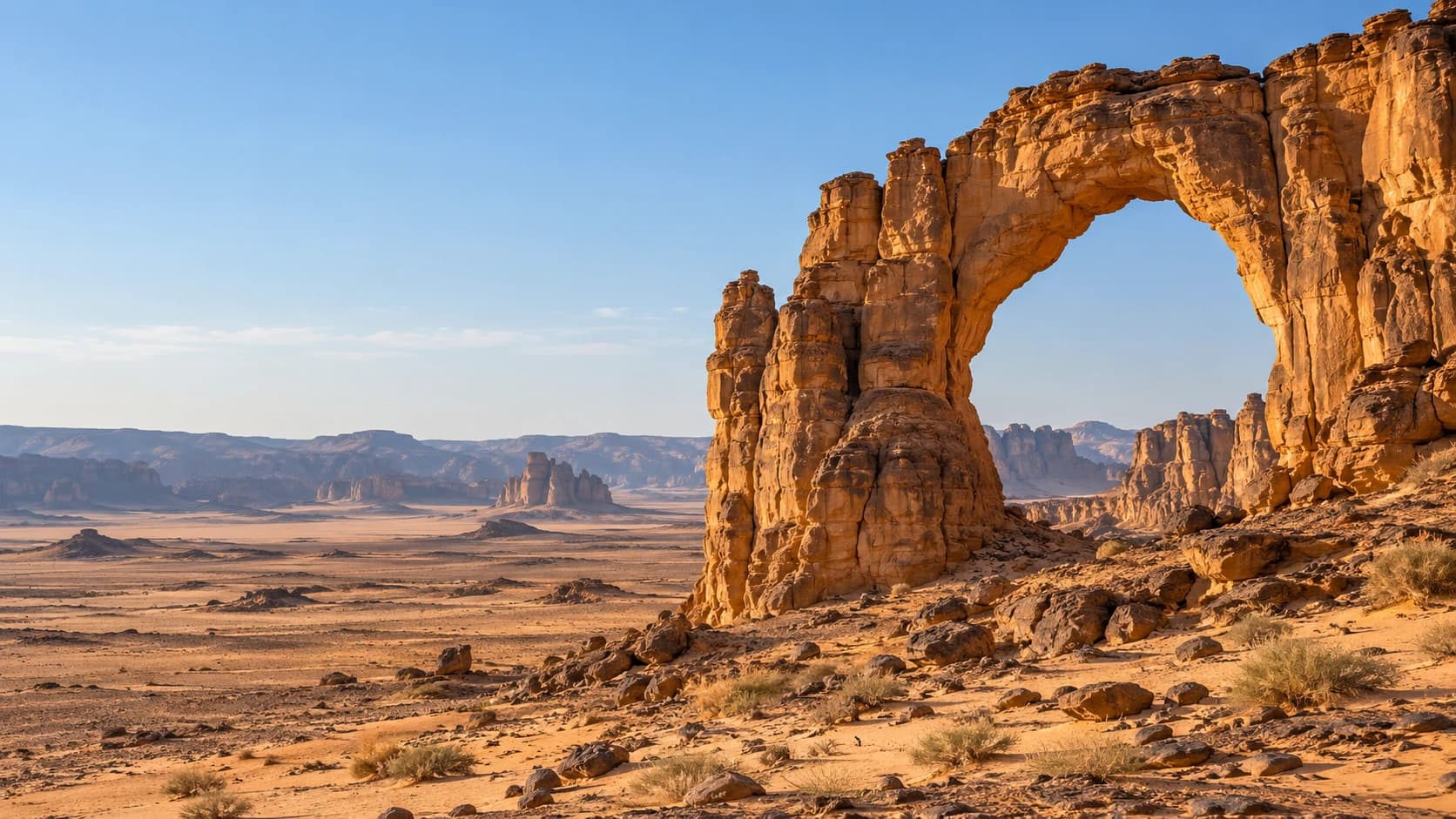
Sandstone arches, desert lakes and southern savannas shape a land of diverse languages and living culture.
Worth coming back!
Wanderlama keeps growing with new destinations, helpful information and exciting features. Check back soon and discover what is new!
Travel to Chad
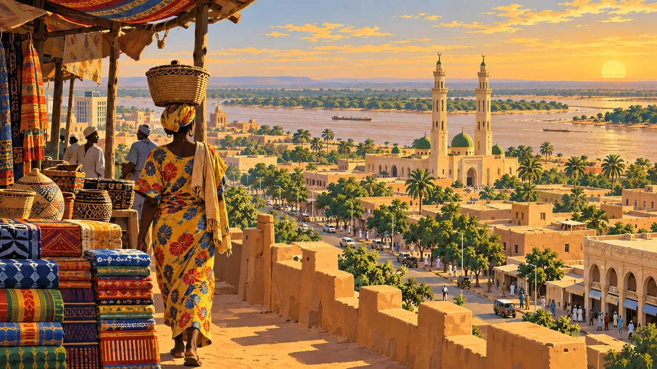
Chad spans the Sahara, the Sahel and southern savannas in landlocked Central Africa. Its landscapes range from volcanic mountains and sandstone plateaus to seasonal wetlands and river plains. French and Arabic are official, alongside numerous community languages. N'Djamena, on the Chari River, combines markets, museums and the everyday life of a regional crossroads.
This is a country portrait, not a current touring recommendation. Germany’s Foreign Office warns against travel to Lake Chad, northern provinces including Borkou, Tibesti and Ennedi, eastern border regions and several other border areas. It advises against nonessential travel elsewhere, including N'Djamena. Conflict, kidnapping, mines and limited medical care affect planning. Check current official advice before any essential journey.
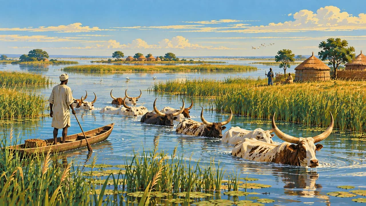
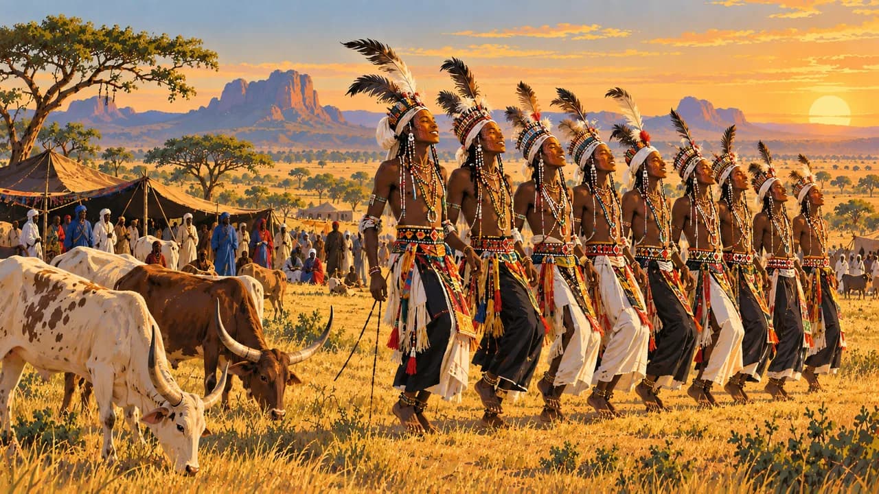
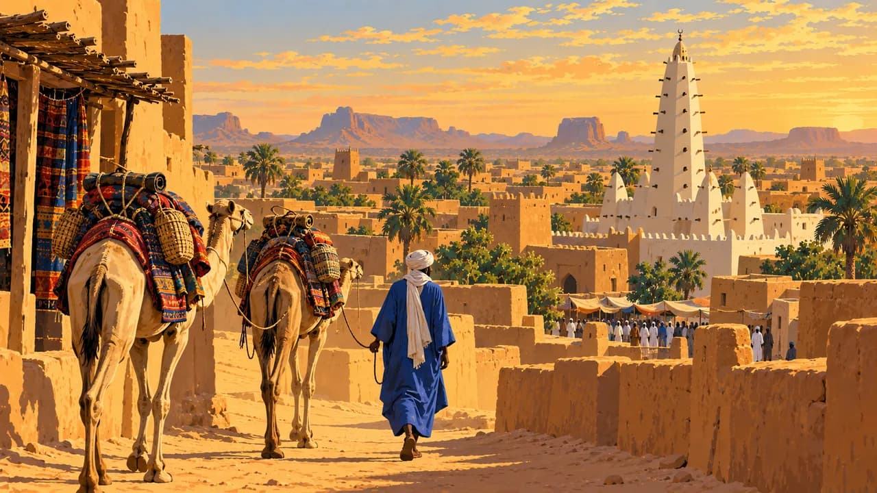
Lake Chad is a changing mosaic of water, islands and wetlands supporting fishing, farming and pastoral livelihoods across borders. Its communities and ecological pressures deserve attention beyond a single shrinking-lake statistic. Dourbali introduces Sahelian pastoral culture and Wodaabe song-and-dance gatherings, whose timing and participation depend on communities. Abéché adds Ouaddaï history, trade and craftsmanship. Neither place is an unrestricted excursion recommendation.
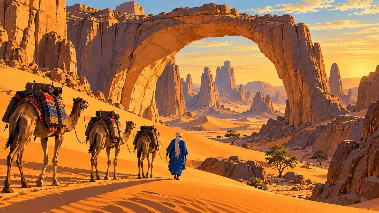
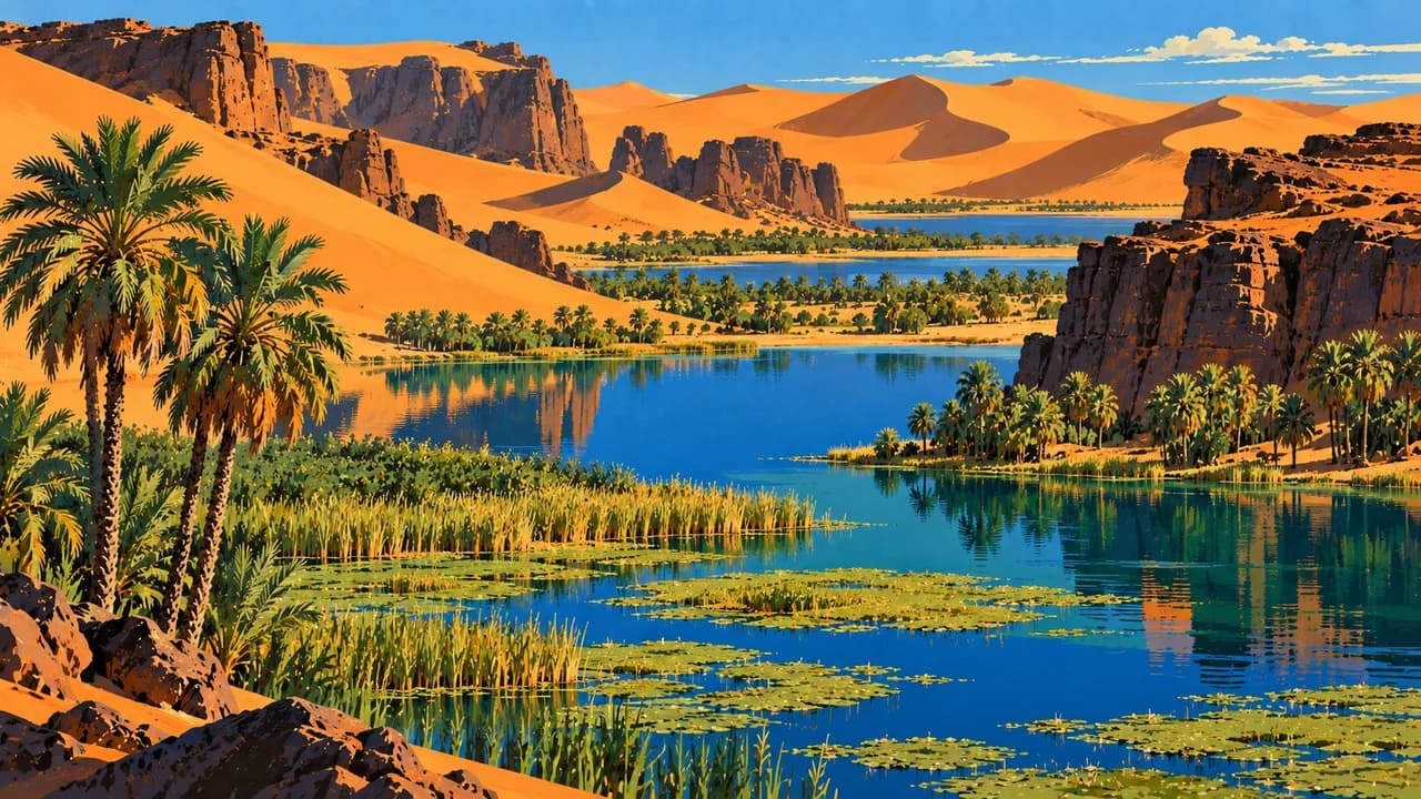
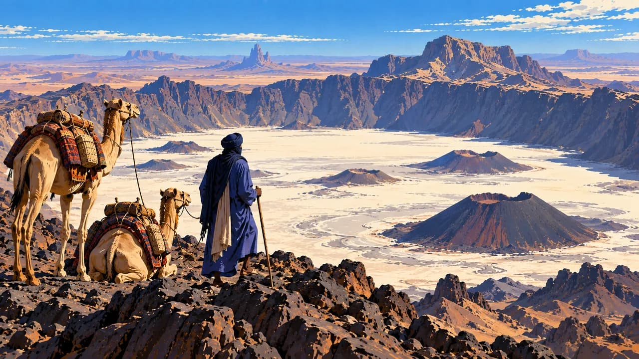
In the north, Faya-Largeau’s oasis contrasts with the volcanic Tibesti Mountains, including Emi Koussi. Ennedi’s sandstone arches, canyons and rock paintings form mixed UNESCO World Heritage, combining natural and cultural values. The groundwater-fed Lakes of Ounianga are natural World Heritage. These landscapes lie in warning areas. World Heritage status does not override security restrictions or make desert routes accessible.
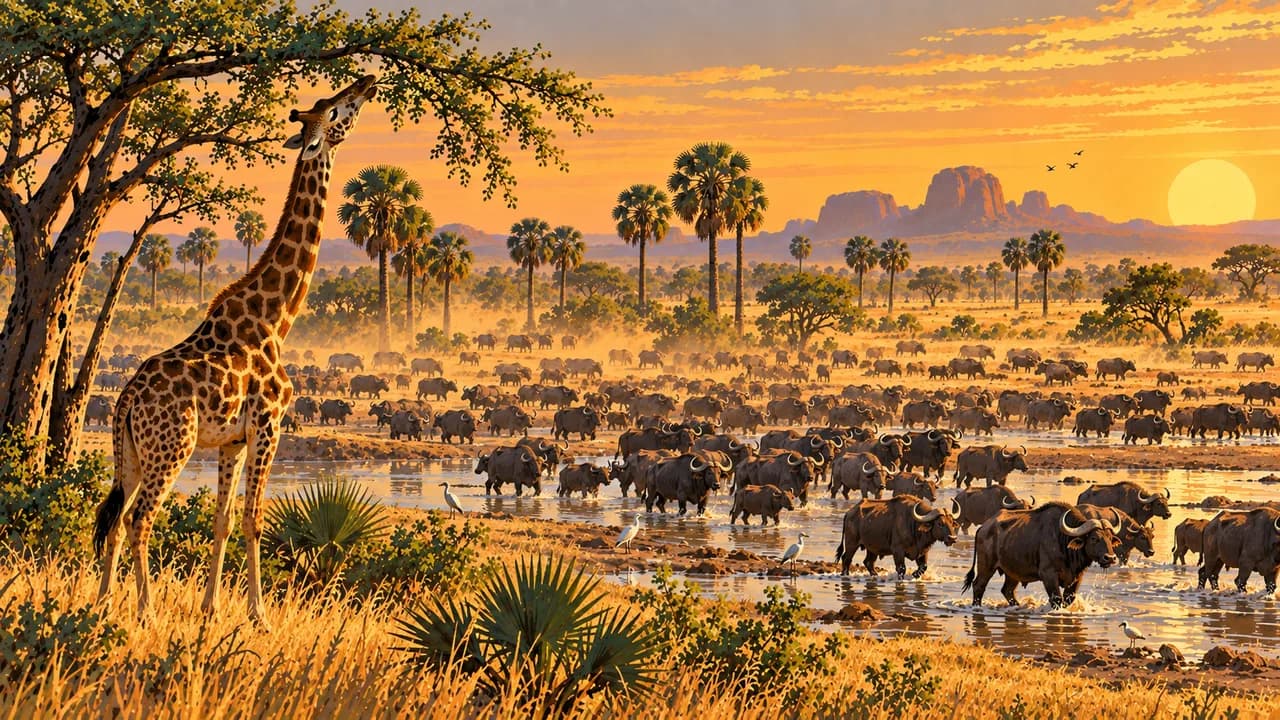
Zakouma National Park protects southern savanna, floodplains and woodland, with elephants, buffalo, Kordofan giraffes and varied birdlife. African Parks closes tourist activities during the wet season. Access and wildlife sightings require confirmation and never override nationwide advice against nonessential travel. Remote journeys need permits, specialist support and contingency planning. Photography also requires official permission.
Regional kitchens include millet or sorghum boule with okra, vegetable, meat or fish sauces. Rainfall increases southward, while desert heat, dust and large temperature swings shape the north. Seasonal flooding can interrupt roads and essential journeys.
AI edited
- 23
- Provinces Administration comprises 23 provinces including the capital N’Djamena. Provinces are administrative units, whereas climate cards are thematic travel groups. Older sources sometimes use the term regions.
- ≈ 21 million
- Population Rounded UN projection for 2025 using the medium-fertility variant. UNData gives approximately 21.004 million people. This dated estimate is neither a census nor a population count for 2026.
- 1,284,000 km²
- Area Surface area according to UNData, referenced to 2023. The landlocked country extends from the Sahara through the Sahel to southern savannas. This area does not represent a single climate or landscape zone.
- French · Arabic
- Languages French and Arabic are official languages. Flags denote languages rather than territorial affiliation. Chadian Arabic is widely used for communication and is distinct from Standard Arabic.
- Ngambay, Kanembu, Tupuri
- Other languages Examples from numerous community languages. Several Sara languages are spoken in the south, including Ngambay. Distribution and multilingualism vary regionally. These examples are not an exhaustive list.
- CFA franc
- Currency The Central African CFA franc has the code XAF and is issued by BEAC. F and FCFA are common abbreviations. XAF and the West African XOF are separate currencies.
- C · D · E · F
- Socket types Directories list C, D, E and F with about 220 to 230 V at 50 Hz. Connections vary between buildings. Confirm earthing and device suitability. Adaptors convert neither voltage nor frequency.
- N'Djamena
- Capital The national capital lies on the Chari near the border with Cameroon and houses central institutions. Germany’s Foreign Office also advises against nonessential travel to the capital.
- Right-hand traffic
- Driving side Traffic drives on the right. Poor roads, missing lighting and seasonal floods complicate journeys. Avoid night driving. Observe mine risks in affected areas and current official advice.
- UTC+1
- Time zone West Africa Time applies year round without seasonal clock changes. The capital clock uses Africa/Ndjamena. The difference from your home location can change with daylight saving there.
Chad on the map

Map data: geoBoundaries (CC BY 4.0), © OpenStreetMap contributors (ODbL), Natural Earth
Climate and best time to travel
The climatic months are not a current travel recommendation. Germany’s Foreign Office warns against travel to Lake Chad, northern provinces including Borkou, Tibesti and Ennedi, eastern border regions and several other border areas. It advises against nonessential travel elsewhere, including N’Djamena. Check current official advice before any essential journey. The north is very dry, the Sahel seasonally wet and the south substantially rainier. November to February brings comparatively less-hot, drier conditions to many lowland areas. Desert highlands can still have cold nights and large temperature differences. March to May can be extremely hot, while dust and Harmattan winds affect visibility. Rainy-season floods can interrupt roads and supplies. Card months describe climate alone, not unrestricted access or confirmed events. Wodaabe gatherings follow community schedules and do not automatically coincide with drier months. Zakouma operates its own tourism season and closes during the rains. January and February fall in its cooler dry season. Access and wildlife sightings still require confirmation. Permits, photography permission, specialist support and contingency planning are necessary. Better weather does not remove mines or security restrictions.