São Tomé and Príncipe
São Tomé e Príncipe
Volcanic peaks, rainforests and Atlantic bays meet cocoa, coffee and living Creole traditions.
Worth coming back!
Wanderlama keeps growing with new destinations, helpful information and exciting features. Check back soon and discover what is new!
Travel to São Tomé and Príncipe
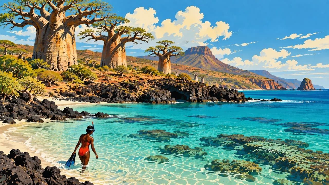
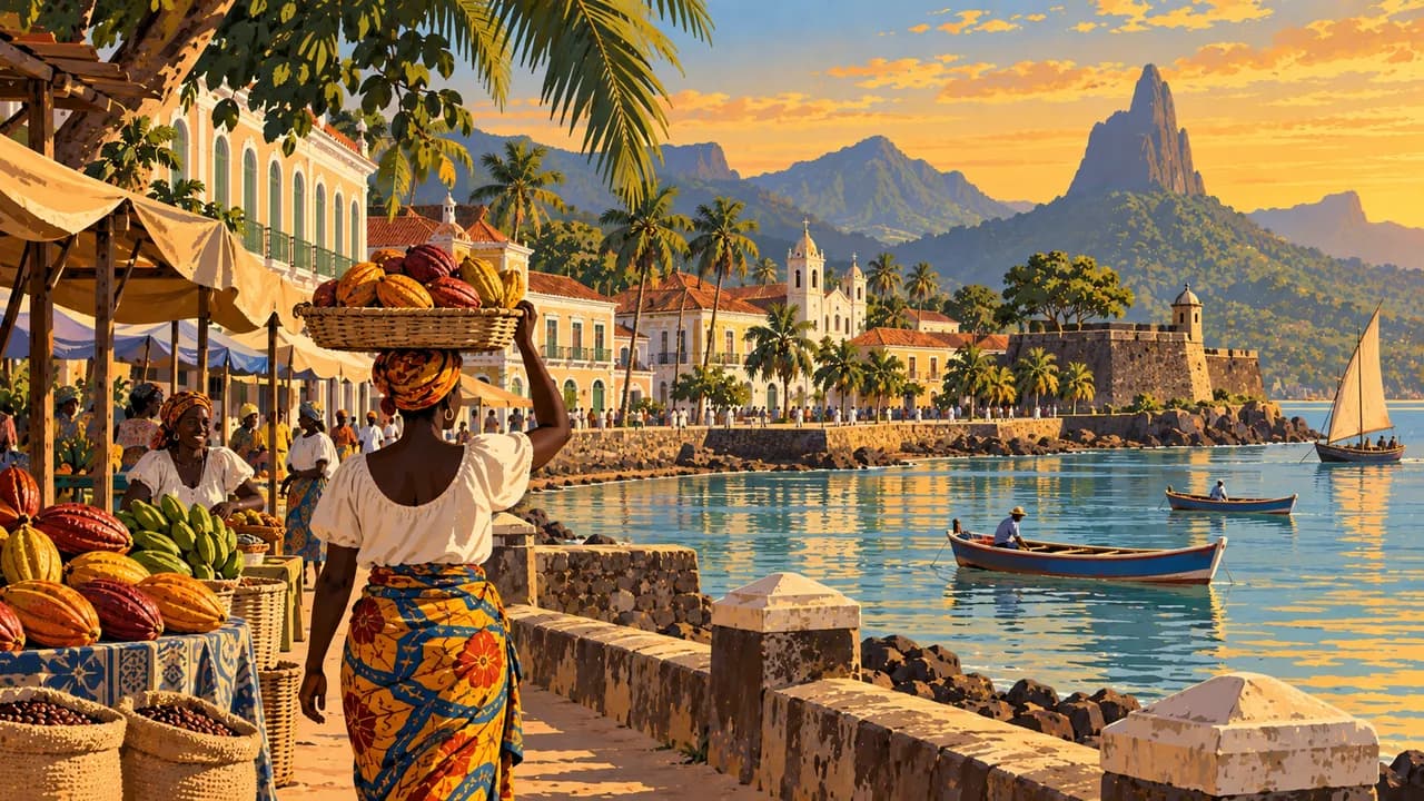
São Tomé and Príncipe is an Atlantic island country in the Gulf of Guinea, with volcanic peaks, rainforest, endemic birds and fishing villages. Portuguese is official, alongside local Creole traditions. São Tomé city offers markets and the São Sebastião fort’s museum, while the smaller island of Príncipe has a distinct regional identity.
Check transport, health cover and entry requirements. Germany’s Foreign Office advises against sailing and other boat excursions in surrounding waters because of piracy risks. Consider this when planning offshore visits. Confirm transfers, avoid night driving and follow official advice. Remote trails need knowledgeable guides, and surf and currents can make swimming hazardous.
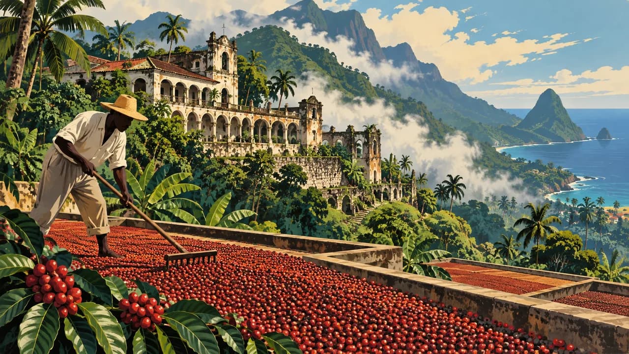
The north links Roça Agostinho Neto’s plantation architecture with Neves and the coastal scenery of Lagoa Azul. Inland, Monte Café explores coffee cultivation and processing. Roças are lived-in places as well as historic estates, so seek permission before entering buildings or photographing residents.
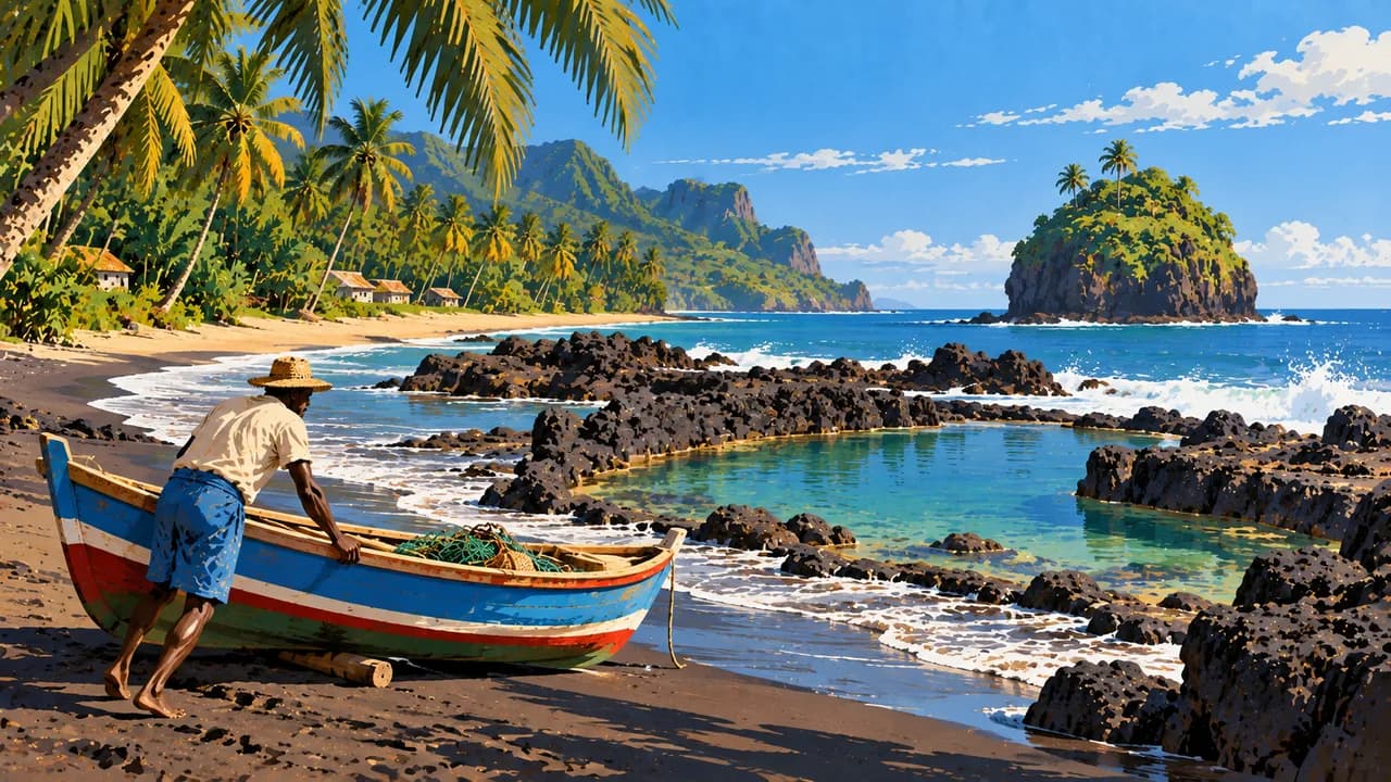
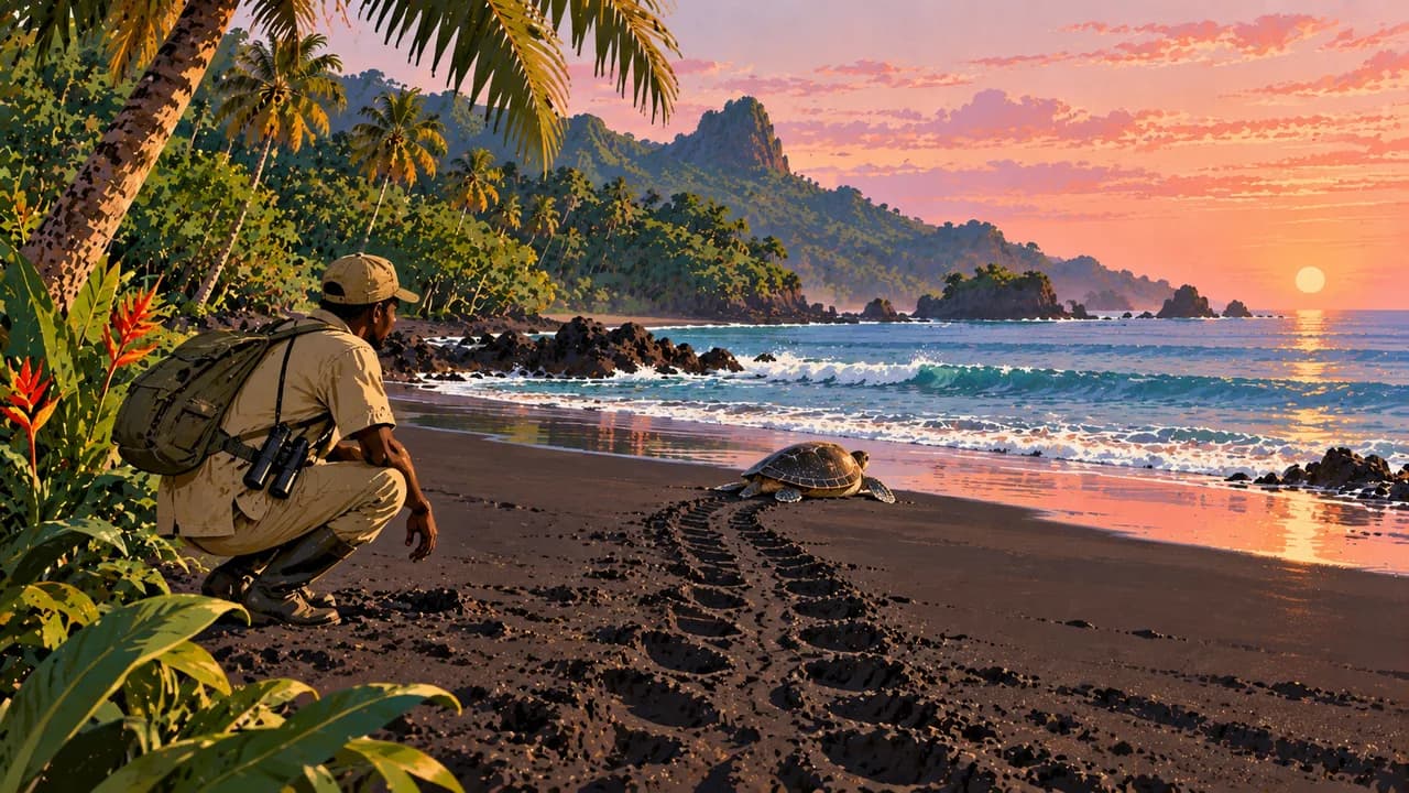
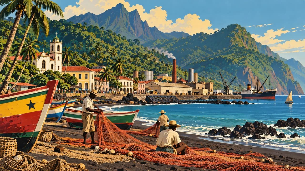
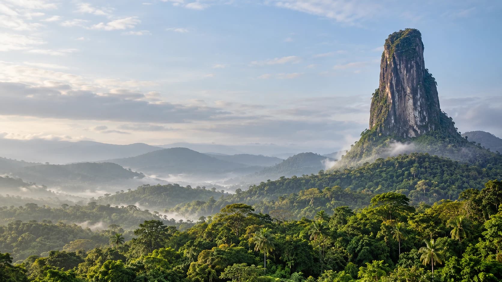
Santana introduces the eastern coast, while São João dos Angolares connects fishing culture, art and food. Farther south, Pico Cão Grande rises above the forest near Obô Natural Park. Porto Alegre lies near turtle-nesting beaches. Offshore, Ilhéu das Rolas straddles the equator. Turtle visits require conservation guidance, and sightings are never guaranteed.
On Príncipe, Santo António offers waterfront life and local markets. Bom Bom adds coastal landscapes, while Sundy and Belo Monte reveal plantation heritage. Príncipe became a UNESCO biosphere reserve in 2012, followed by São Tomé in 2025, recognising conservation alongside community livelihoods.
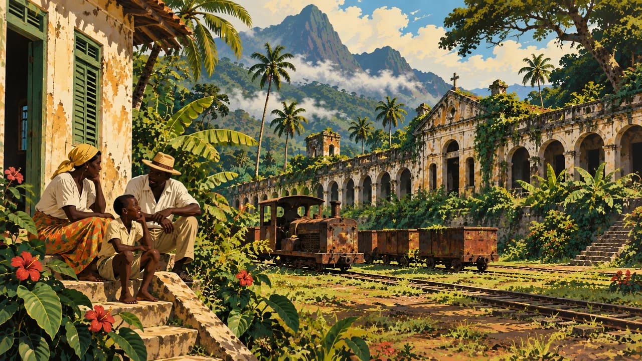
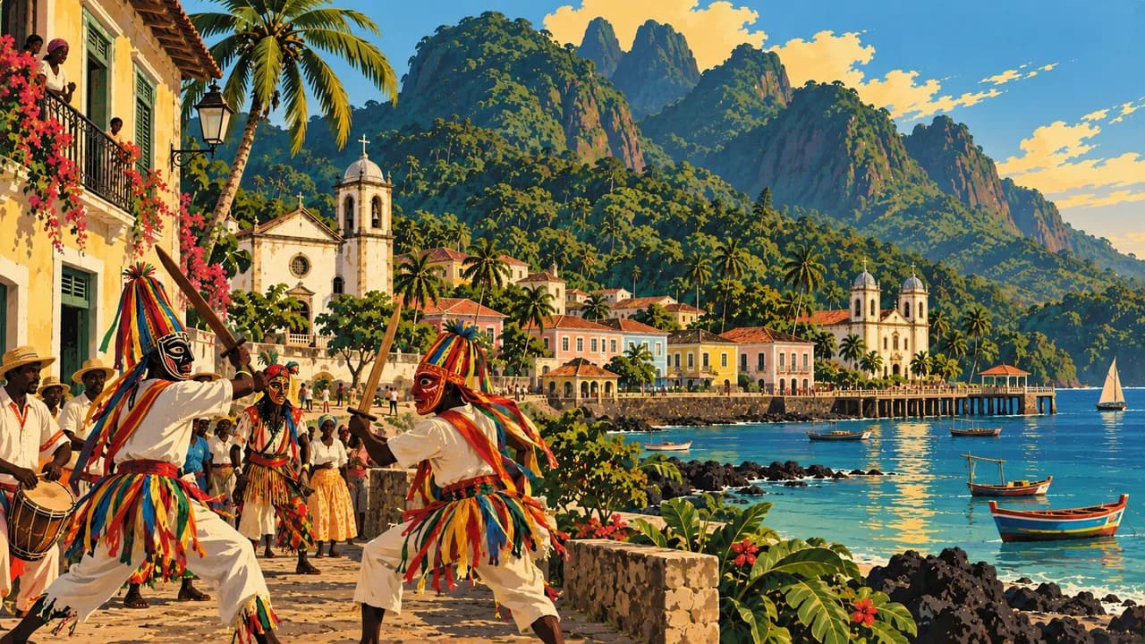
Selected roças form a cultural World Heritage property inscribed in 2026, documenting colonial agriculture, forced migration and forced labour. This designation does not cover every estate. Tchiloli theatre, inscribed as intangible heritage in 2025, brings music, performance and questions of justice into public life. These are distinct UNESCO categories.
Local cooking includes calúlú, fish, breadfruit and matabala, complemented by cocoa and coffee. June to September is generally comparatively dry, though southern slopes and upland forests remain wetter. Rain, road conditions and sea conditions require flexibility.
AI edited
- 6 + 1
- Districts and region São Tomé comprises six districts, Água Grande, Cantagalo, Caué, Lembá, Lobata and Mé-Zóchi. Príncipe forms an autonomous region. The display distinguishes these levels rather than implying seven equivalent districts. Climate cards are travel groups.
- ≈ 240,000
- Population Rounded UN projection for 2025 using the medium-fertility variant. This dated estimate is neither a new census nor a population count for 2026.
- 964 km²
- Area Surface area according to UNData, referenced to 2023. Some other sources give 1,001 km². Different datasets and area definitions are not combined here. The figure does not describe the maritime economic zone.
- Portuguese
- Language Portuguese is the official language. The flag denotes a language rather than territorial affiliation. Distinct local Creole languages are also part of the country’s linguistic heritage.
- Forro, Angolar, Lung’Ie
- Other languages Examples of local Creole languages include Forro, Angolar and Lung’Ie, also called Principense. Communities and distribution differ between the islands. They do not constitute a single nationwide everyday language.
- Dobra
- Currency The national currency has the code STN. The new dobra, introduced in 2018, replaced 1,000 old dobras, formerly coded STD. Db is a common abbreviation, and the central bank also uses nDb.
- C · F
- Socket types Electrical Safety First lists plug types C and F with 230 V and 50 Hz. Check local installation, earthing and device suitability. An adaptor does not convert voltage or frequency.
- São Tomé
- Capital São Tomé is the national capital on the main island of the same name. Santo António is the administrative seat of the autonomous region of Príncipe rather than a second national capital.
- Right-hand traffic
- Driving side Traffic drives on the right. Road conditions, unlit vehicles and people in the roadway can complicate journeys. Avoid night driving and take account of local expertise and current official advice.
- UTC±0
- Time zone Greenwich Mean Time applies throughout the year without seasonal clock changes. The capital clock uses Africa/Sao_Tome. UTC±0 has applied again since January 2019. Older UTC+1 information is outdated.
- 1
- UNESCO cultural site The Roças became a serial cultural property in 2026 with six components, Monte Café, Água Izé, Diogo Vaz, São João, Sundy and Belo Monte. Biosphere reserves and intangible Tchiloli are excluded.
São Tomé and Príncipe on the map

Map data: geoBoundaries (CC BY 4.0), © OpenStreetMap contributors (ODbL), Natural Earth
Climate and best time to travel
Climate is warm and humid throughout the year, with marked differences between coasts, southern slopes and mountain forests. June to September is the comparatively less-rainy Gravana period. Most cards use this broad window for culture and walking. Clouds, showers, mud and wet forest trails remain possible. The shorter Gravanita around December to February can also bring less-rainy periods. Turtle conservation near Porto Alegre follows different seasons, often roughly November to March. Confirm dates and conservation guidance, keep your distance and never illuminate or touch animals. Sightings are not guaranteed. Confirm Príncipe connections and accommodation early, allowing weather buffers. Surf and currents can make swimming hazardous. Use specialist guides on remote forest trails and obtain consent before entering properties and inhabited roças. Heavy rain can affect roads and bridges. Avoid night driving and follow current entry and health requirements.