Equatorial Guinea
Guinée équatoriale · Guiné Equatorial · Guinea Ecuatorial
Volcanic islands, rainforests and Atlantic shores meet varied languages, island cultures and urban heritage.
Worth coming back!
Wanderlama keeps growing with new destinations, helpful information and exciting features. Check back soon and discover what is new!
Travel to Equatorial Guinea
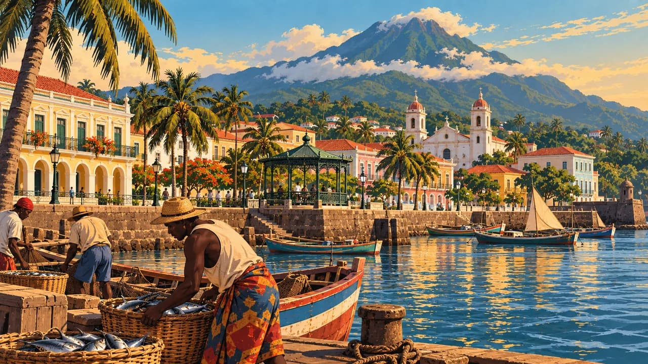
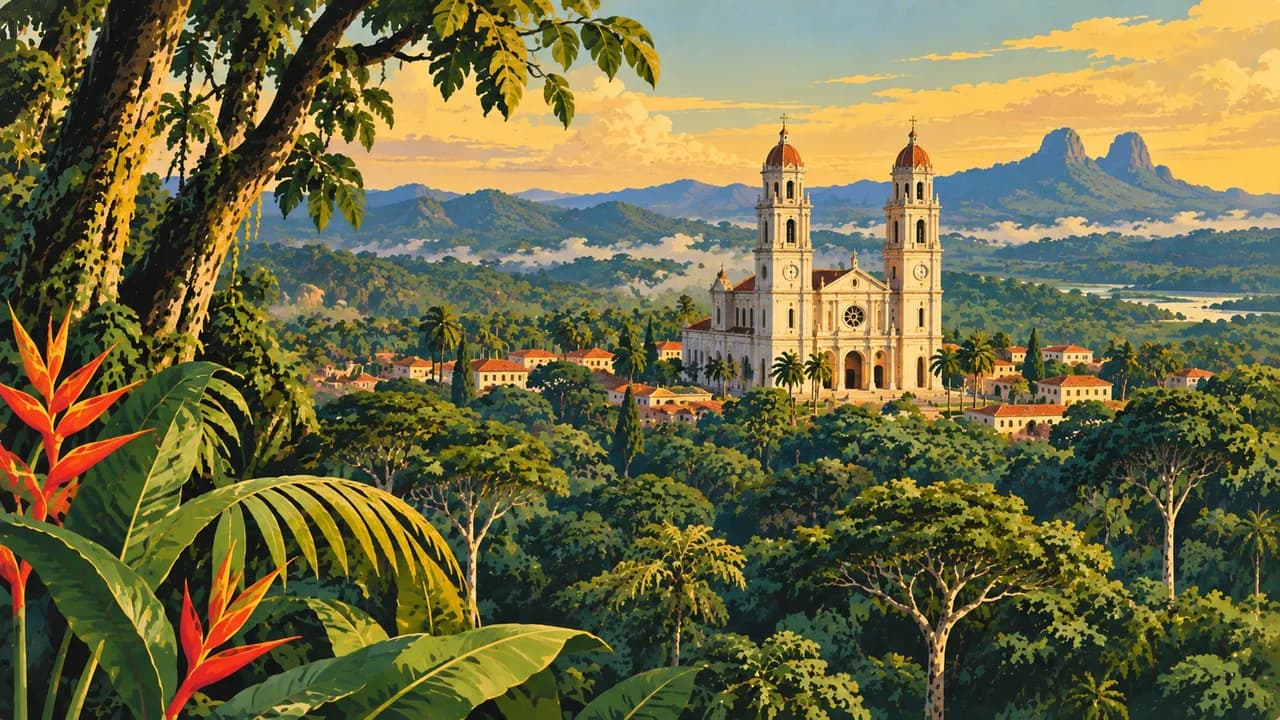
Equatorial Guinea combines the Río Muni mainland between Cameroon and Gabon with volcanic Bioko and smaller Atlantic islands. Ciudad de la Paz was declared the capital in January 2026. Malabo, the former capital on Bioko, preserves Spanish colonial architecture, a cathedral and a harbour below forested volcanic slopes.
Travel requires advance arrangements and current official advice. Confirm visas, internal permissions, guides and transport before departure. The German Foreign Office highlights restrictions on expression and movement, identity checks and crime. Photography of official buildings, ports, airports and security installations is prohibited. Avoid night journeys, carry identification and obtain consent before photographing people.
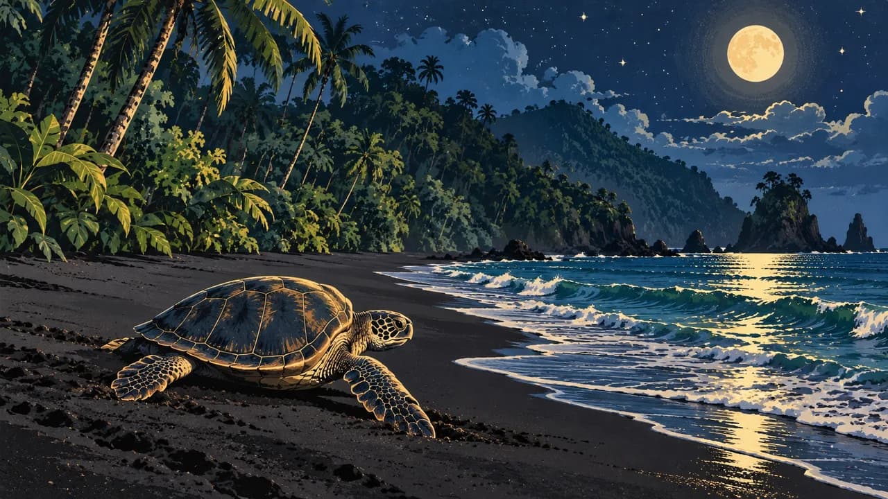
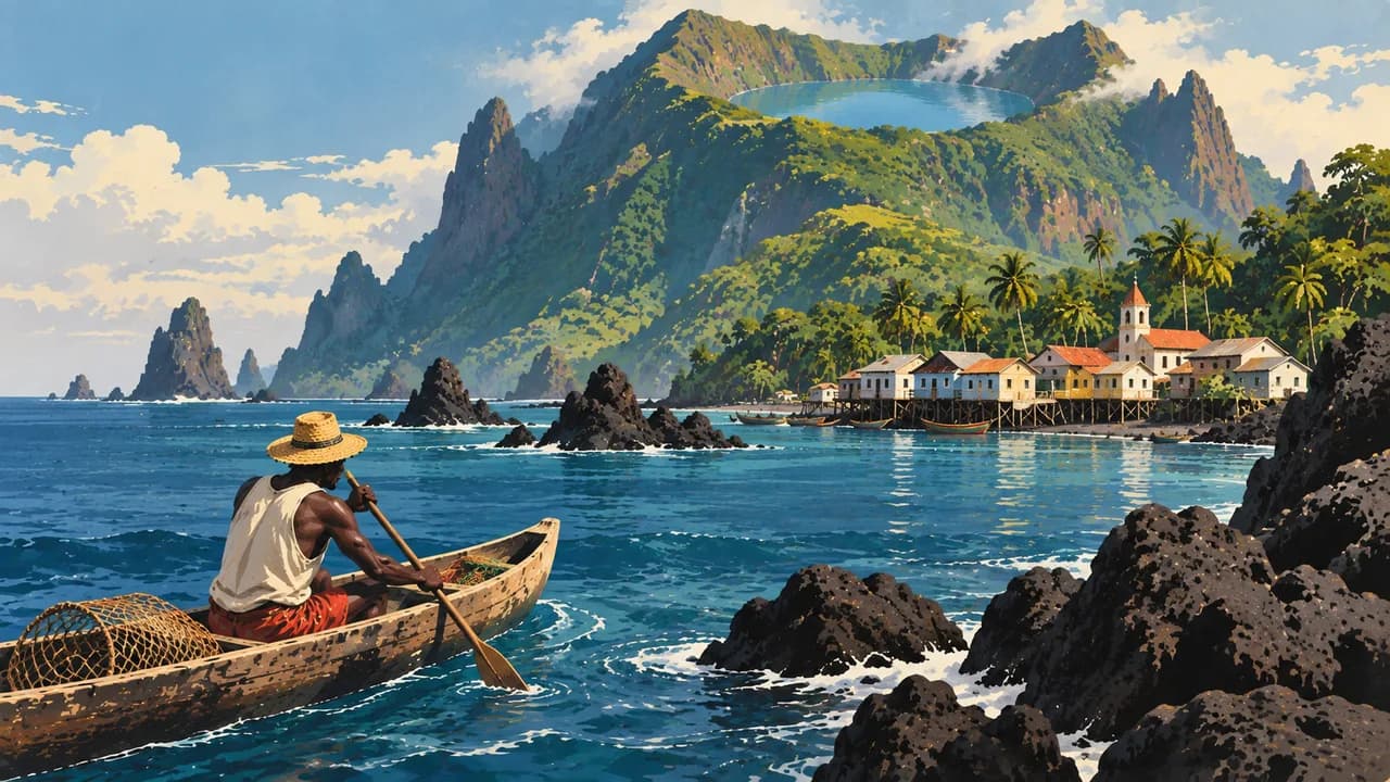
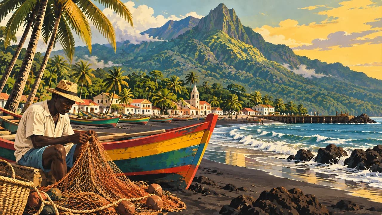
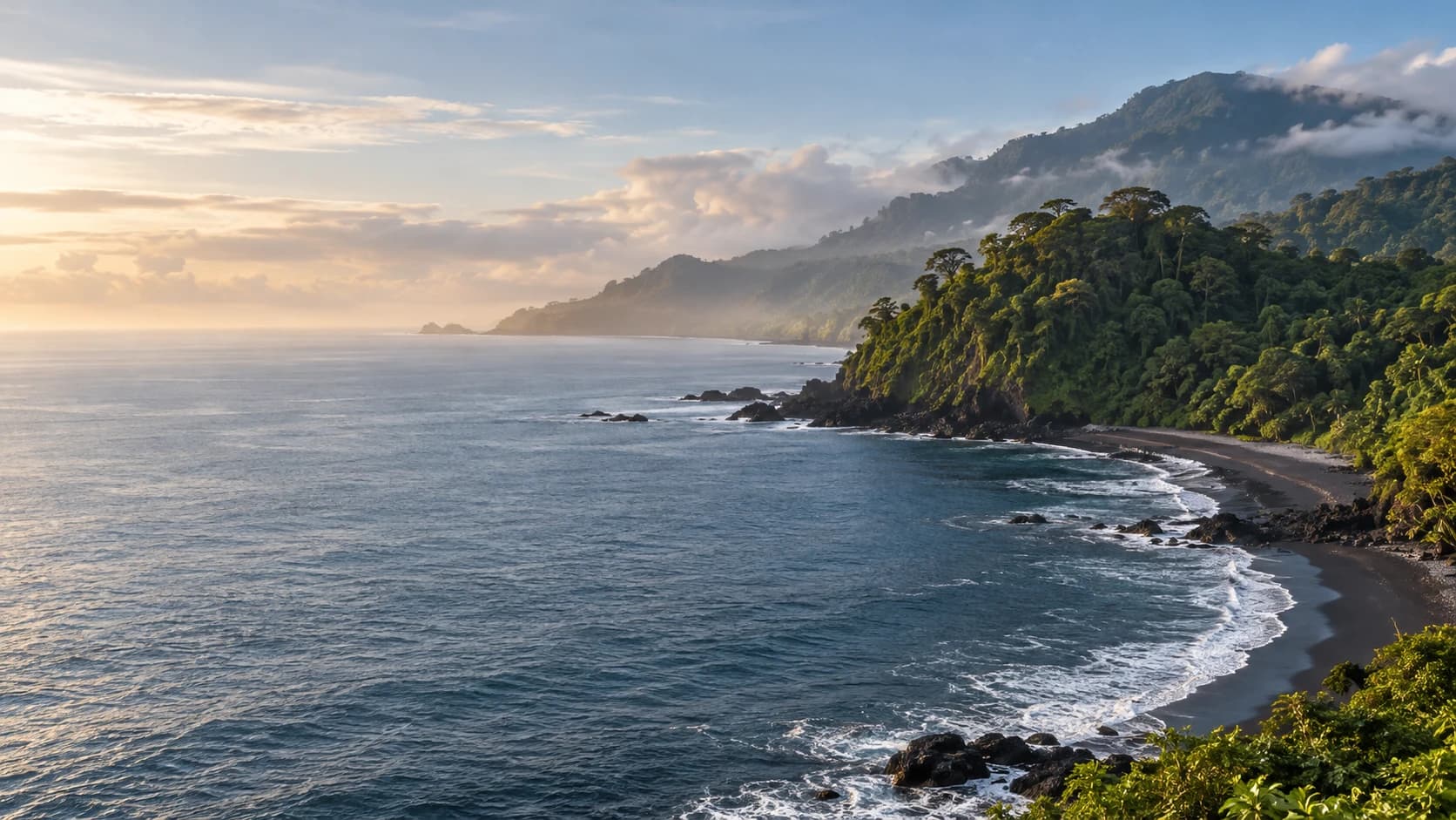
Luba combines fishing and coastal landscapes on Bioko. Moka introduces cooler highlands, crater lakes, forest trails and distinctive birds. Around Ureka, rainforest meets dark sandy shores and important sea-turtle nesting beaches. Respect conservation patrols, follow their rules on lighting and distance, and never assume sightings. Strong currents and tides make these shores hazardous for swimming.
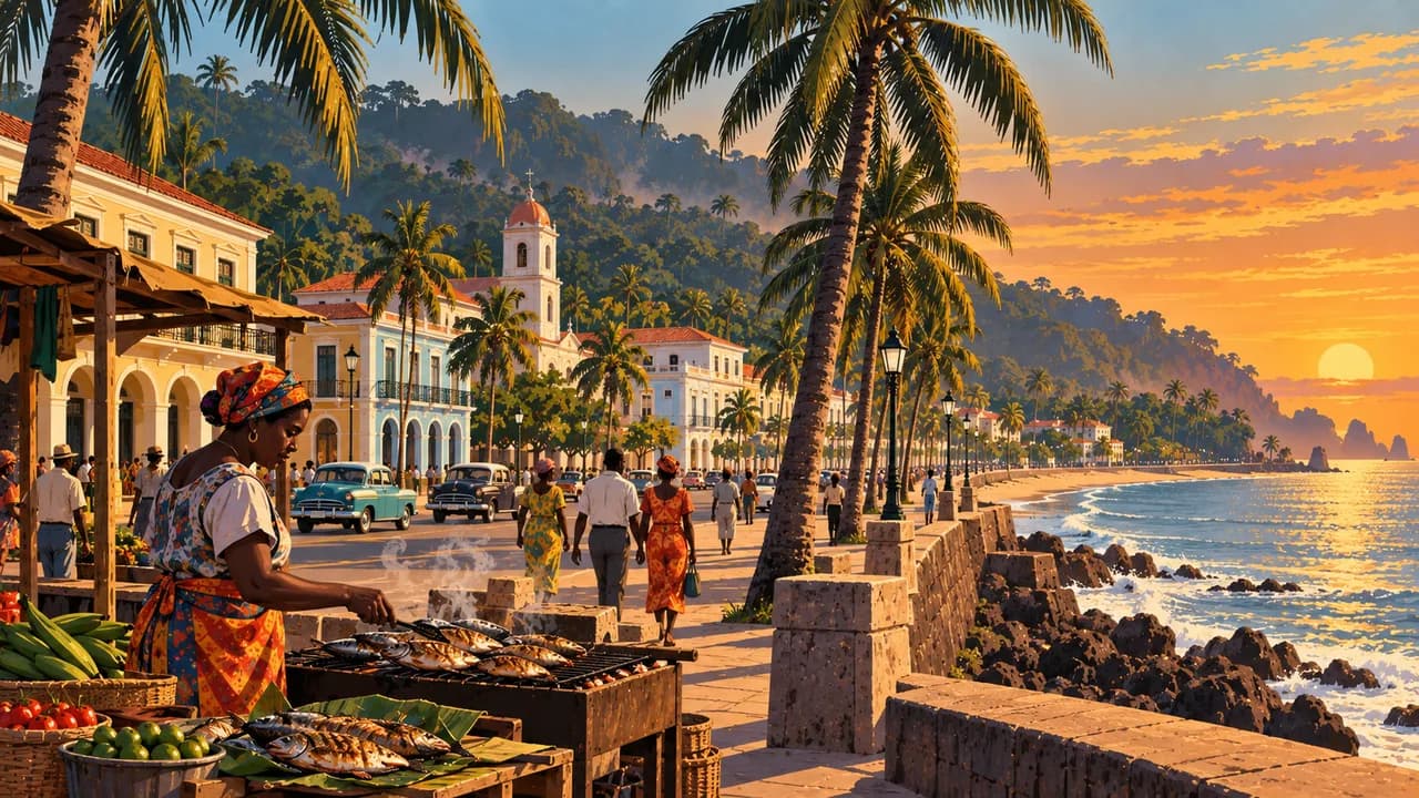
Bata is the main mainland port and an urban base for Río Muni, with a seafront promenade and markets. Monte Alén National Park protects rainforest habitats for primates and other wildlife. Access, trails and local guides need confirmation, with sightings never guaranteed. Mongomo adds its large basilica and the cultural landscape near Gabon.
Corisco offers sandy shores and island fishing communities, with crossings dependent on permission, weather and reliable arrangements. Remote Annobón has volcanic landscapes, a crater lake and its own island culture. Spain’s foreign ministry currently advises against tourist visits there. It is not a straightforward extension to a mainland or Bioko itinerary.
Spanish, French and Portuguese are official, while Fang, Bubi, Ndowé, Pichi and Fá d’Ambô reflect community diversity. Regional kitchens include fish, cassava, plantain and groundnut preparations. Heat and humidity persist, but rainfall patterns differ between Bioko, the mainland and Annobón. Heavy rain can close roads and bridges. Confirm accommodation and specialist support, respecting community rules and protected habitats.
AI edited
- 8
- Provinces The eight provinces are Bioko Norte, Bioko Sur, Annobón, Litoral, Centro Sur, Kié-Ntem, Wele-Nzas and Djibloho. Corisco belongs to Litoral province. Climate cards group destinations rather than define administrative divisions.
- ≈ 1.94 million
- Population Rounded UN projection for 2025 using the medium-fertility variant, 1.938 million. This dated estimate is not a new census.
- 28,052 km²
- Area Surface area in UNData, referenced to 2023, including mainland and islands. The geography combines Río Muni, Bioko, Annobón and smaller islands such as Corisco.
- Spanish, French, Portuguese
- Languages All three languages are official. Spanish is particularly widespread in administration and education. The flags denote languages here rather than territorial affiliation.
- Fang, Bubi, Ndowé
- Other languages Examples of community languages include Fang, Bubi and Ndowé. Others include Pichi on Bioko and Fá d’Ambô on Annobón. Usage and spelling vary.
- CFA franc
- Currency The Central African CFA franc has the code XAF and is issued by BEAC. FCFA is a common written abbreviation. It is distinct from the West African CFA franc, XOF.
- C · E
- Socket types Electrical Safety First lists types C and E with 220 V and 50 Hz. Check local installation, earthing and device suitability. An adaptor does not convert voltage or frequency.
- Ciudad de la Paz
- Capital Ciudad de la Paz in Djibloho province was declared the capital in January 2026. Malabo on Bioko is the former capital. Older country profiles still list Malabo. The clock shows the new capital’s local time.
- Right-hand traffic
- Driving side Traffic drives on the right. Avoid night driving and arrange transport with knowledgeable local support. Checkpoints are frequent. Rain can make roads and bridges impassable. Carry identification and required permissions.
- UTC+1
- Time zone West Africa Time applies throughout the year without seasonal clock changes. The IANA identifier Africa/Malabo also applies to the new mainland capital and does not mean that Malabo remains the capital.
Equatorial Guinea on the map

Map data: geoBoundaries (CC BY 4.0), © OpenStreetMap contributors (ODbL), Natural Earth
Climate and best time to travel
Heat and humidity persist throughout the year. Bioko, the mainland and Annobón have different rainfall patterns. Months are broad comparatively drier climate windows. February and March may offer better conditions on Bioko. June to August is often drier on the mainland. Southern Bioko remains particularly wet, while highlands can have cloud and slippery paths. Heavy rain can close roads and bridges. Cards guarantee neither access nor calm seas or animal sightings. Check visas, internal permissions and guides in advance. German Foreign Office guidance says visits outside Malabo and Bata must be registered through local tourism agencies. Carry identification and required permissions. Observe photography bans and avoid night journeys. Conservation patrols set lighting and distance rules on turtle beaches. Strong tides and currents make swimming hazardous. Confirm boats, weather, accommodation and return travel in advance.