Central African Republic
République centrafricaine · Bêafrîka
Rainforests, rivers and savannas meet diverse languages, polyphonic singing and archaeological heritage.
Worth coming back!
Wanderlama keeps growing with new destinations, helpful information and exciting features. Check back soon and discover what is new!
Travel to Central African Republic
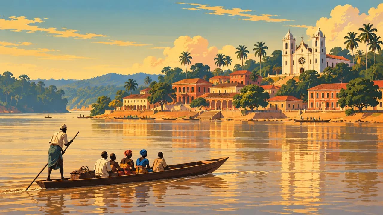
The Central African Republic spans northern savannas, wooded plateaus and southern Congo Basin rainforest. Rivers connect these landscapes with fishing, farming and trade. Bangui, on the Oubangui, combines riverside neighbourhoods, religious buildings and cultural institutions. French and Sango are official languages, alongside numerous community languages and musical traditions.
This is a country portrait, not a current touring recommendation. Germany’s Foreign Office warns against all travel, including to Bangui. Armed conflict, kidnapping, roadside explosive devices and unpredictable arrests create serious risks. Medical care, fuel, communications and transport are limited. Any essential journey requires current official advice, specialist security planning and contingency arrangements.
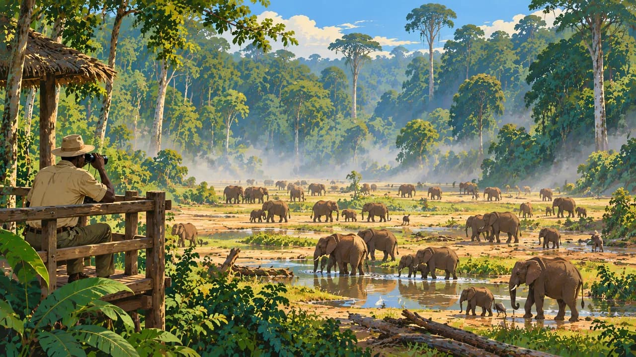
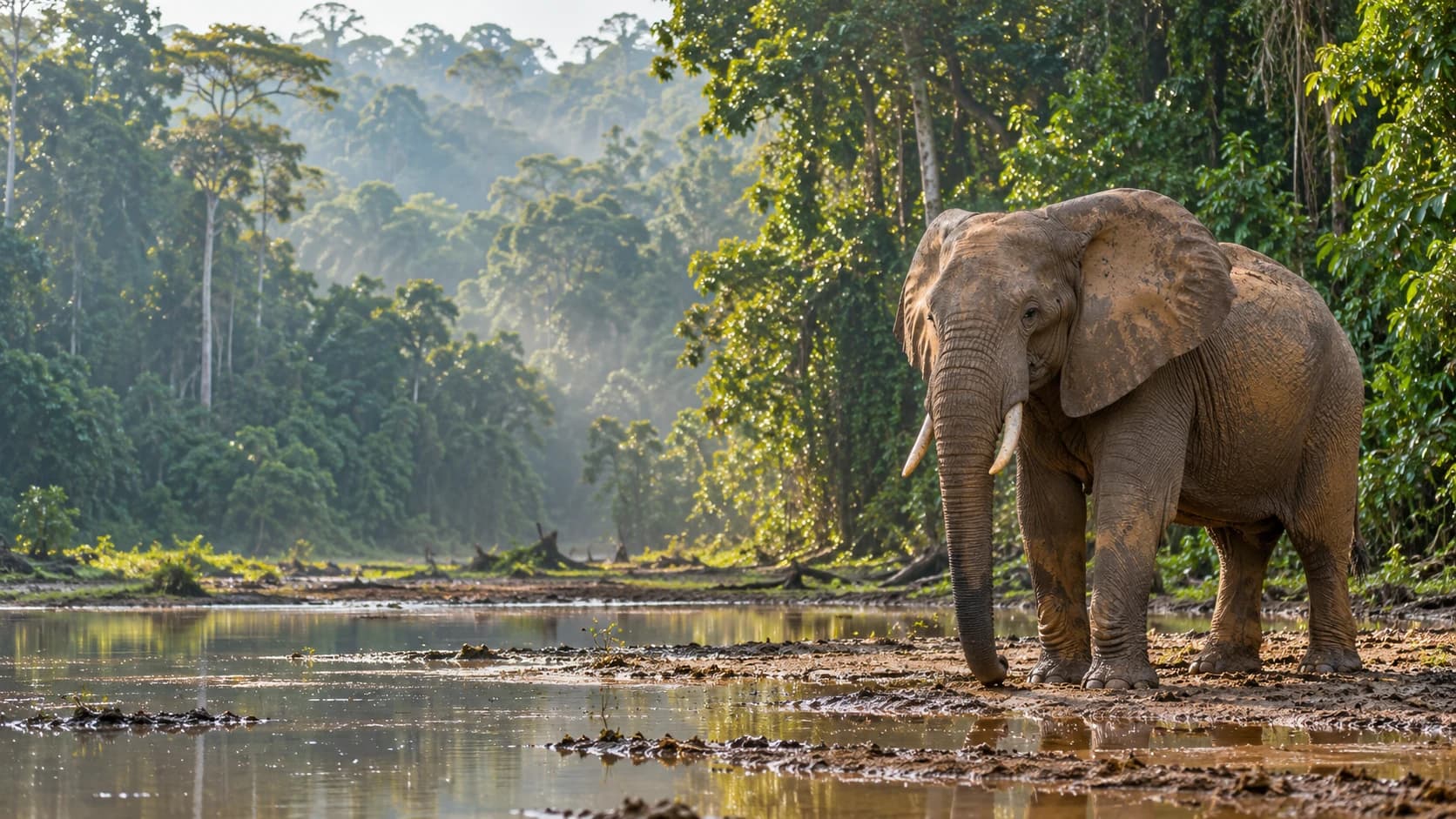
In the southwest, Dzanga-Sangha protects forest elephants and western lowland gorillas. Dzanga-Ndoki National Park forms part of the natural UNESCO Sangha Trinational property shared with Cameroon and the Republic of the Congo. Dzanga Bai is a mineral-rich forest clearing used by elephants. Wildlife viewing depends on conservation rules, permits and confirmed access. BaAka knowledge supports conservation. Their polyphonic singing is separate UNESCO intangible heritage, not an attraction to demand. Community consent and fair participation matter.
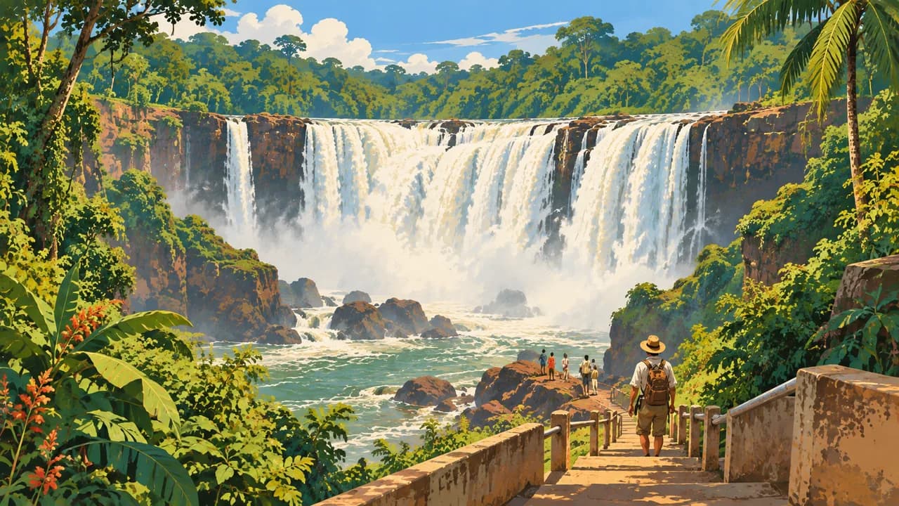
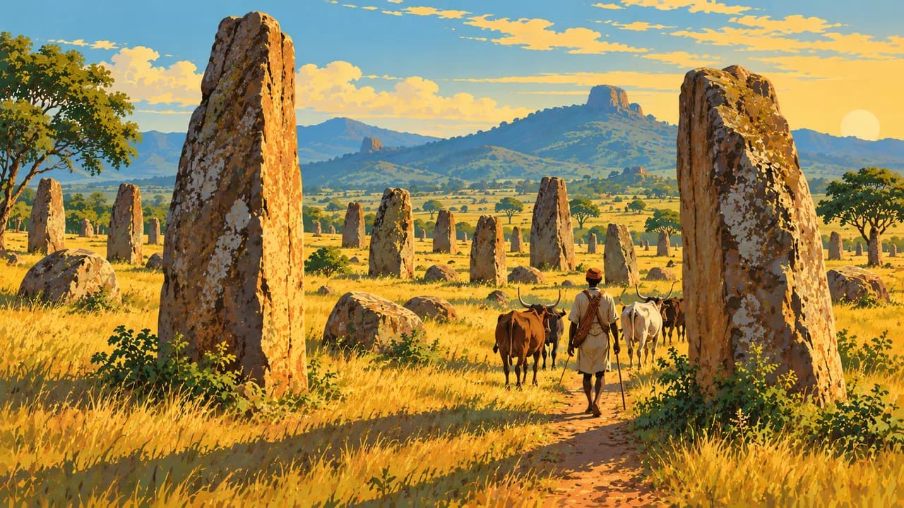
Around M'Baïki, the Lobaye region introduces forest landscapes and local livelihoods. The Boali Falls and nearby hydropower installations show the importance of the Mbali River. Neither is an unrestricted day-trip recommendation. Further northwest, Bouar’s tazunu megaliths offer archaeological context. They are on UNESCO’s Tentative List rather than inscribed World Heritage.
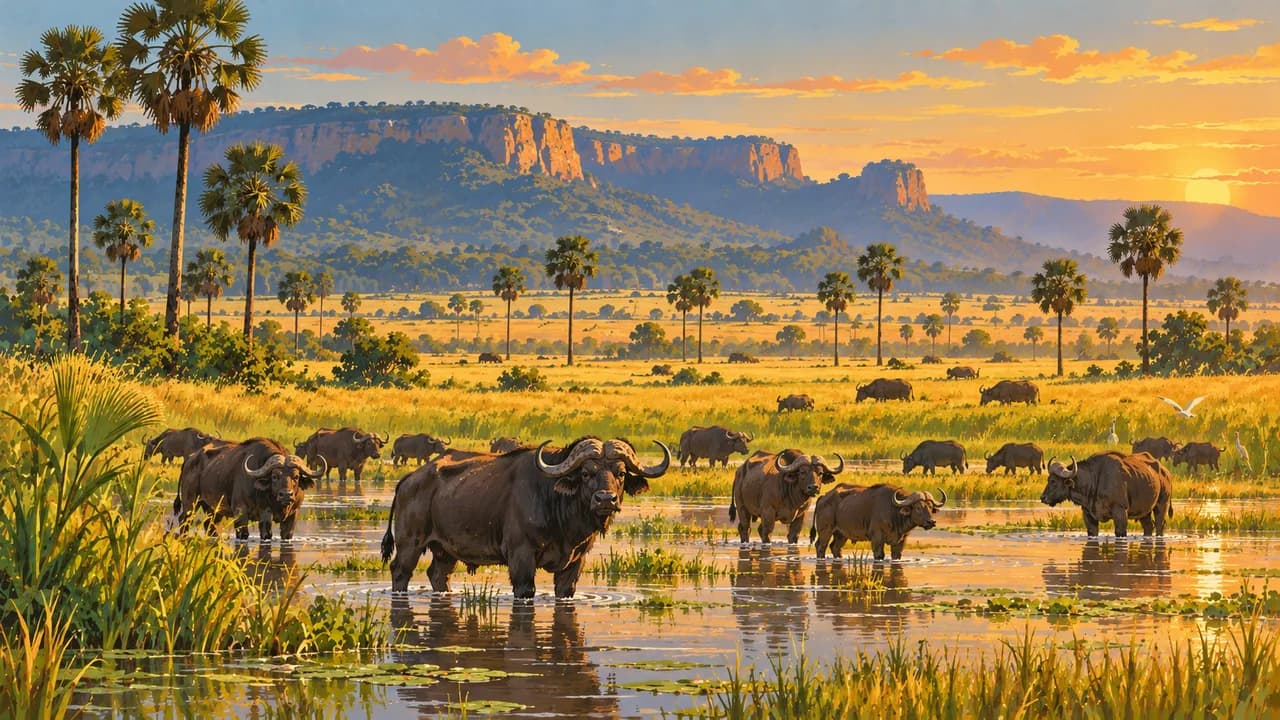
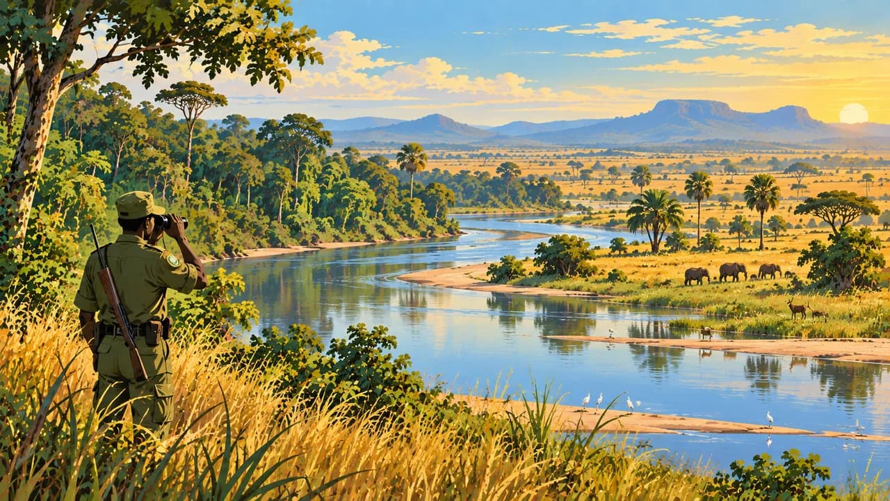
In the north, Manovo-Gounda St Floris National Park protects savannas and floodplains. This natural World Heritage property has been on the Danger List since 1997. In the east, Chinko combines tropical forest and savanna with conservation and community programmes. African Parks states that it is not currently open for public tourism. Their conservation value does not imply tourist access.
Regional food includes cassava, maize, groundnuts, leafy vegetables and river fish. The southwest remains humid, while the north has a longer dry season. Rain and flooding can interrupt roads. Photography requires official permission and people’s consent.
AI edited
- 20
- Prefectures Current UN reports refer to 20 prefectures. The capital Bangui has a special administrative status. Older counts of 16 prefectures do not reflect the later reorganisation. Climate cards are thematic groups rather than administrative levels.
- ≈ 5.51 million
- Population Rounded UN projection for 2025 using the medium-fertility variant. UNData gives approximately 5.513 million people. This dated estimate is neither a new census nor a population count for 2026.
- 622,984 km²
- Area Surface area according to UNData, referenced to 2023. The frequently quoted 623,000 km² is rounded. The landlocked country includes savannas, plateaus and forests rather than a single climatic zone.
- French · Sango
- Languages French and Sango are official languages. Sango is also used for communication between regions. Flags denote languages rather than affiliation of the country with another state.
- Gbaya, Banda, Manza
- Other languages Examples from numerous community languages and language groups. Their distribution varies regionally. Multilingualism is widespread, and these examples are neither an exhaustive list nor a single national language.
- CFA franc
- Currency The Central African CFA franc has the code XAF and is issued by BEAC. F and FCFA are common abbreviations. XAF is distinct from the West African XOF.
- C · E · F
- Socket types Directories list C, E or F depending on installation, with about 220 to 230 V at 50 Hz. Confirm earthing and device suitability with your accommodation. Adaptors convert neither voltage nor frequency.
- Bangui
- Capital The national capital lies on the Oubangui opposite the Democratic Republic of the Congo and houses central institutions. The nationwide travel warning also applies to Bangui.
- Right-hand traffic
- Driving side Traffic drives on the right. Poor roads, missing lighting, explosive devices and robbery create serious risks. Rain and flooding can interrupt connections. Current official advice and specialist security planning are necessary even for essential journeys.
- UTC+1
- Time zone West Africa Time applies year round without seasonal clock changes. The capital clock uses Africa/Bangui. The difference from your home location can change with daylight saving there.
Central African Republic on the map

Map data: geoBoundaries (CC BY 4.0), © OpenStreetMap contributors (ODbL), Natural Earth
Climate and best time to travel
The months describe climatic differences rather than a current travel recommendation. Germany’s Foreign Office warns against travel throughout the country, including Bangui. Armed conflict, kidnapping, explosive devices and unpredictable arrests also affect transport routes. Essential journeys require current official advice, specialist security planning and contingency arrangements. The southwest is humid year round with a shorter dry season, while the north remains dry for longer. December to February is a broad less-rainy window for southwestern forest landscapes. Comparatively drier conditions around Bangui and Boali often extend into March, while the upland savanna around Bouar frequently starts drying in November. December to March is climatically drier for northern and eastern savannas. Heat, Harmattan dust and local showers remain possible. Rain can affect roads, bridges and flights. Waterfall flow varies seasonally. More favourable months confirm neither access nor wildlife sightings. According to African Parks, Chinko is currently closed to public tourism. Manovo-Gounda St Floris is on UNESCO’s Danger List. For Dzanga-Sangha, conservation rules, permits, specific activities and access require confirmation. Communities decide about cultural encounters. Photography requires official permission and the consent of people depicted.