Uganda
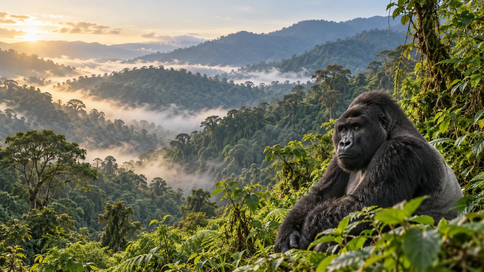
Montane forests, open savannas and lively shores connect primate diversity with royal heritage and everyday culture.
Worth coming back!
Wanderlama keeps growing with new destinations, helpful information and exciting features. Check back soon and discover what is new!
Travel to Uganda
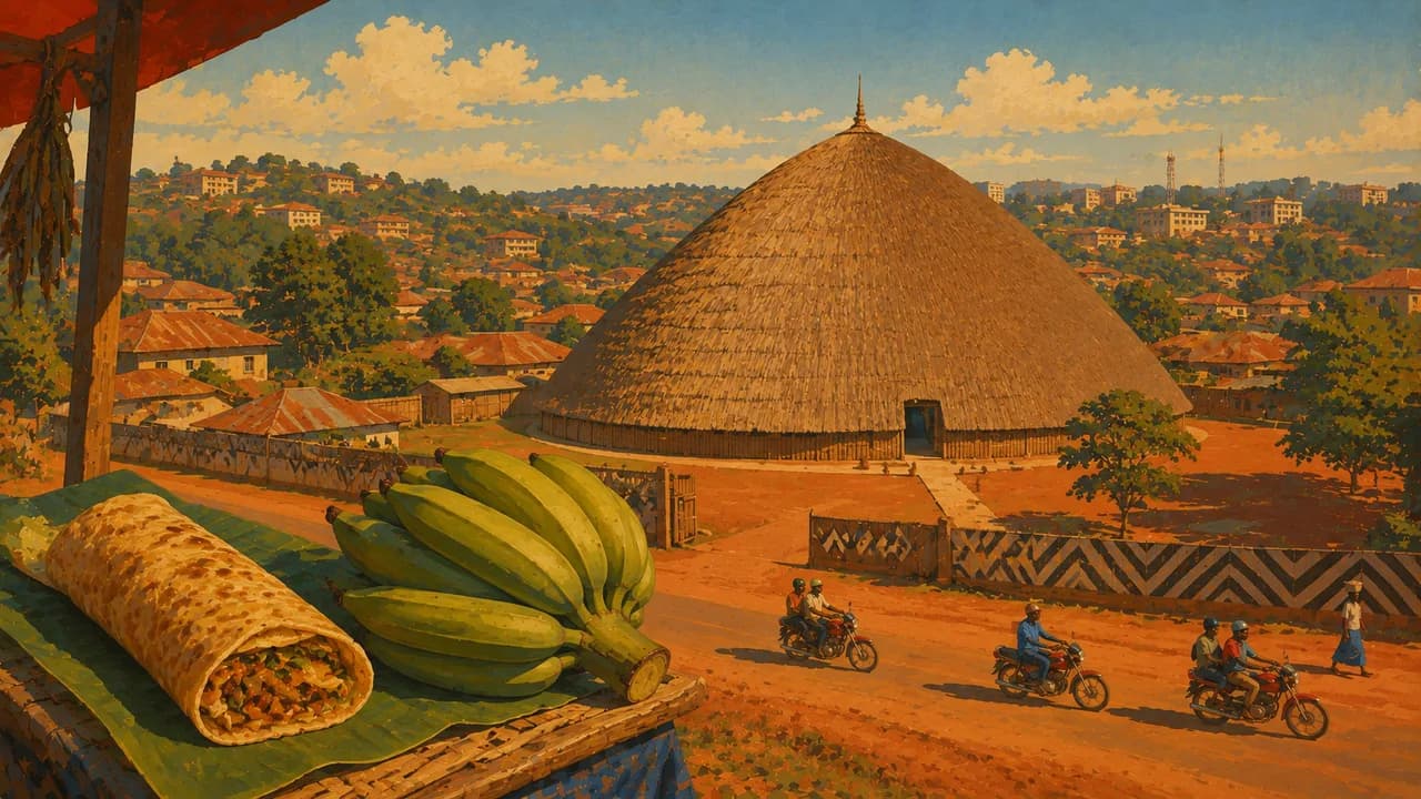
Uganda combines equatorial lakes, forested highlands and savannas in East Africa. Kampala, the capital, brings together markets, religious landmarks and the UNESCO-listed Kasubi Tombs of Buganda’s kings. Entebbe stands beside Lake Victoria, with botanical gardens and wetland birdlife. Regional kingdoms, languages and community traditions extend beyond wildlife tourism.
Check current official security, entry and health advice before choosing routes. Germany’s Foreign Office discourages nonessential travel to Semliki National Park and the Congolese border belt, with particular caution required in several western parks and Karamoja. Same-sex relations carry severe criminal penalties. Park descriptions do not establish safe access.
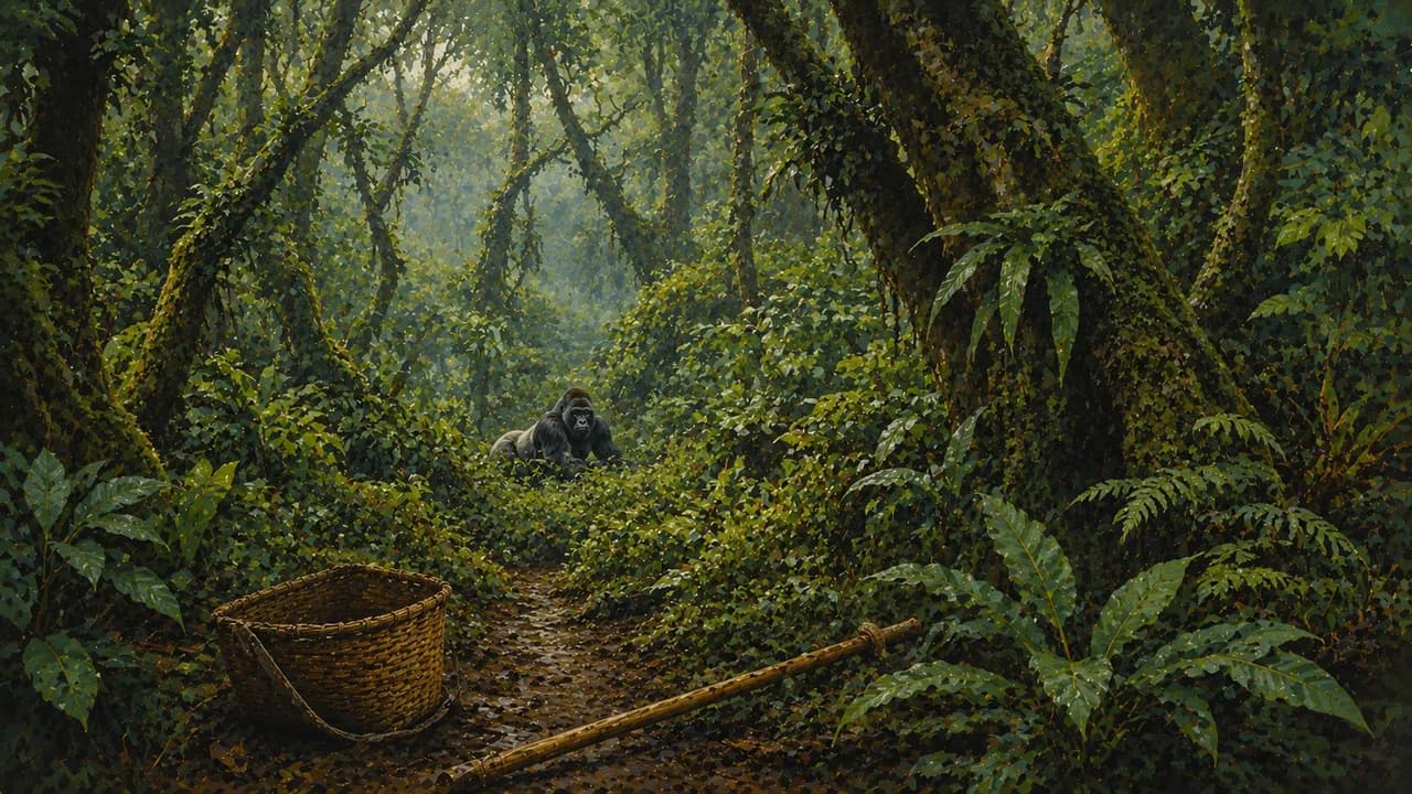
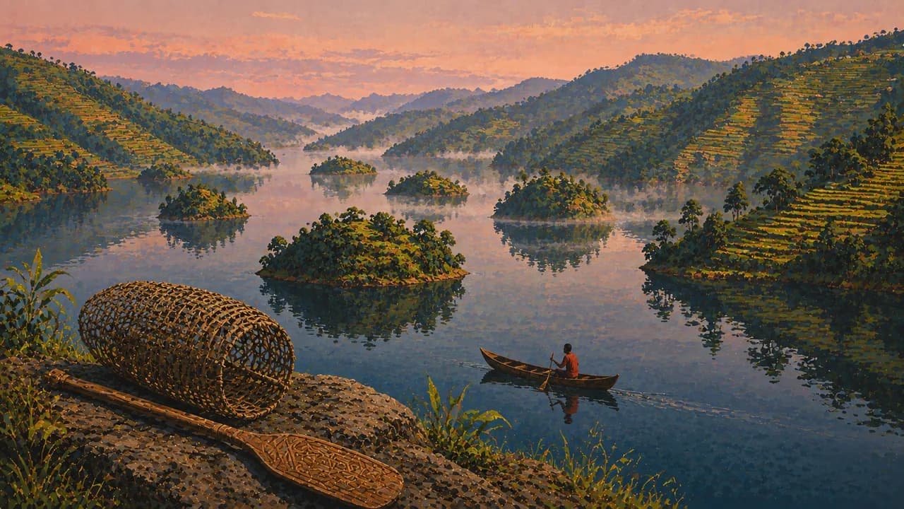
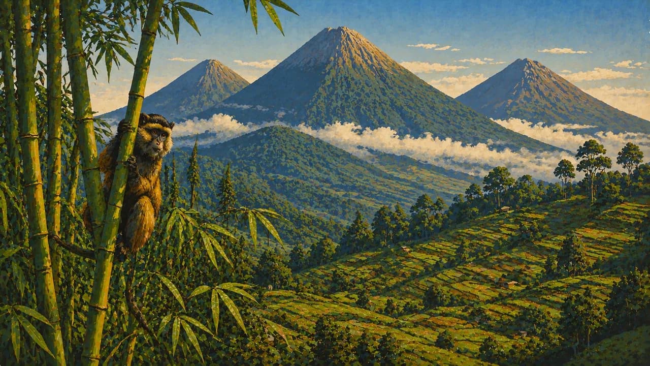
Bwindi Impenetrable Forest and Mgahinga Gorilla National Park protect mountain gorilla habitats. Arrange permits early and follow ranger instructions and primate health rules. Trekking can involve steep, muddy terrain, and sightings are not guaranteed. Nearby Lake Bunyonyi adds wooded islands and cultivated hillsides.
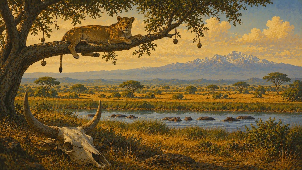
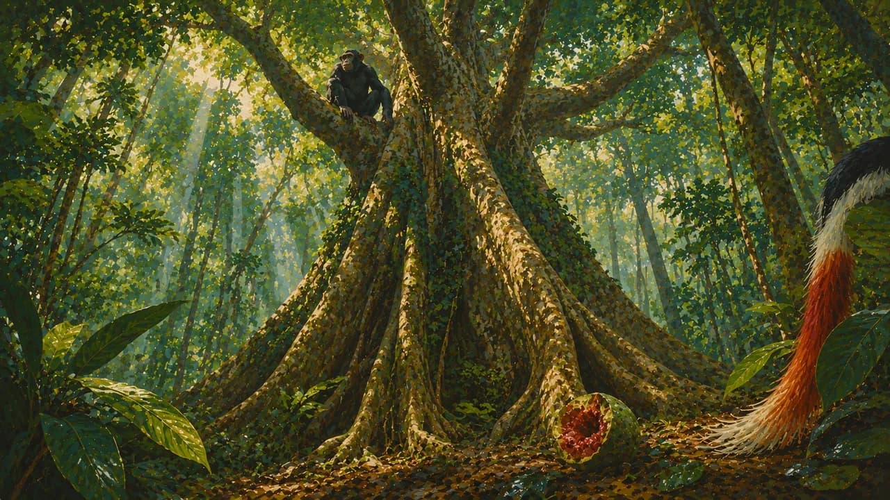
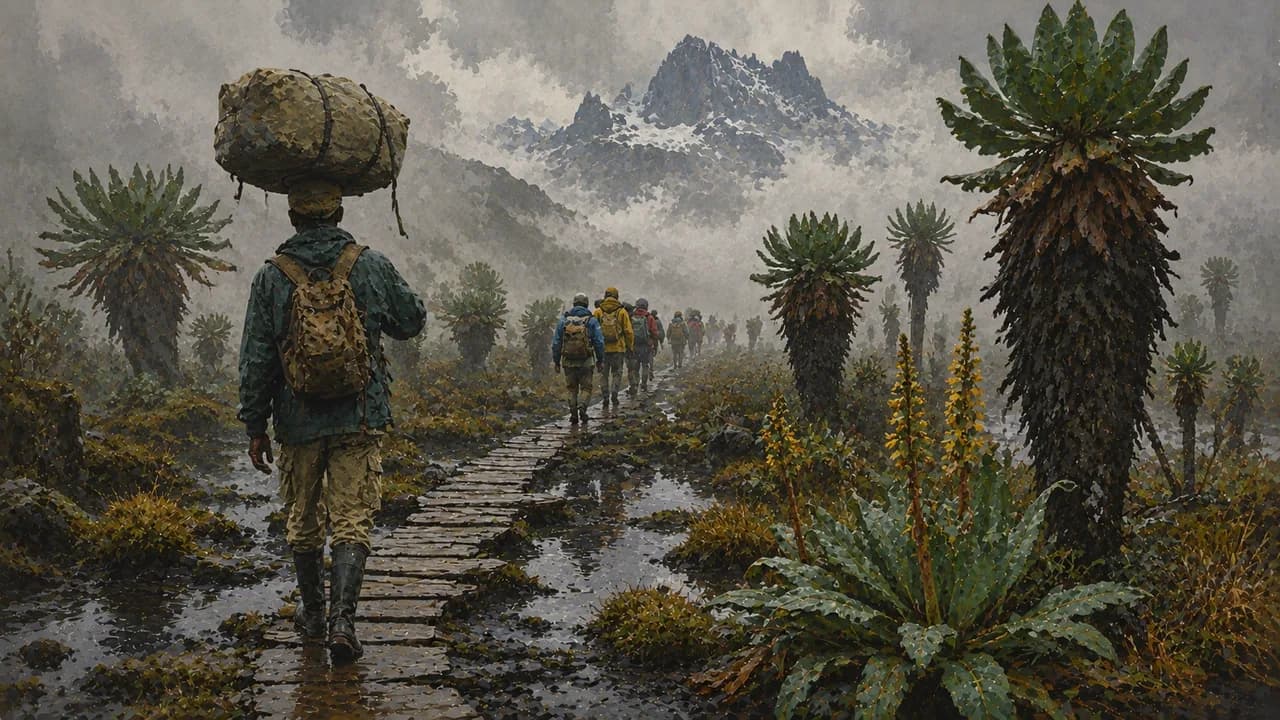
Kibale Forest supports chimpanzees and other primates. Fort Portal introduces Tooro royal heritage, tea-growing landscapes and crater lakes. The UNESCO-listed Rwenzori Mountains combine montane forests, distinctive high-altitude vegetation and demanding alpine routes. Preparation, specialist guiding and acclimatisation matter. Queen Elizabeth National Park adds the Kazinga Channel, wetlands and Ishasha’s tree-climbing lions, without guaranteed encounters.
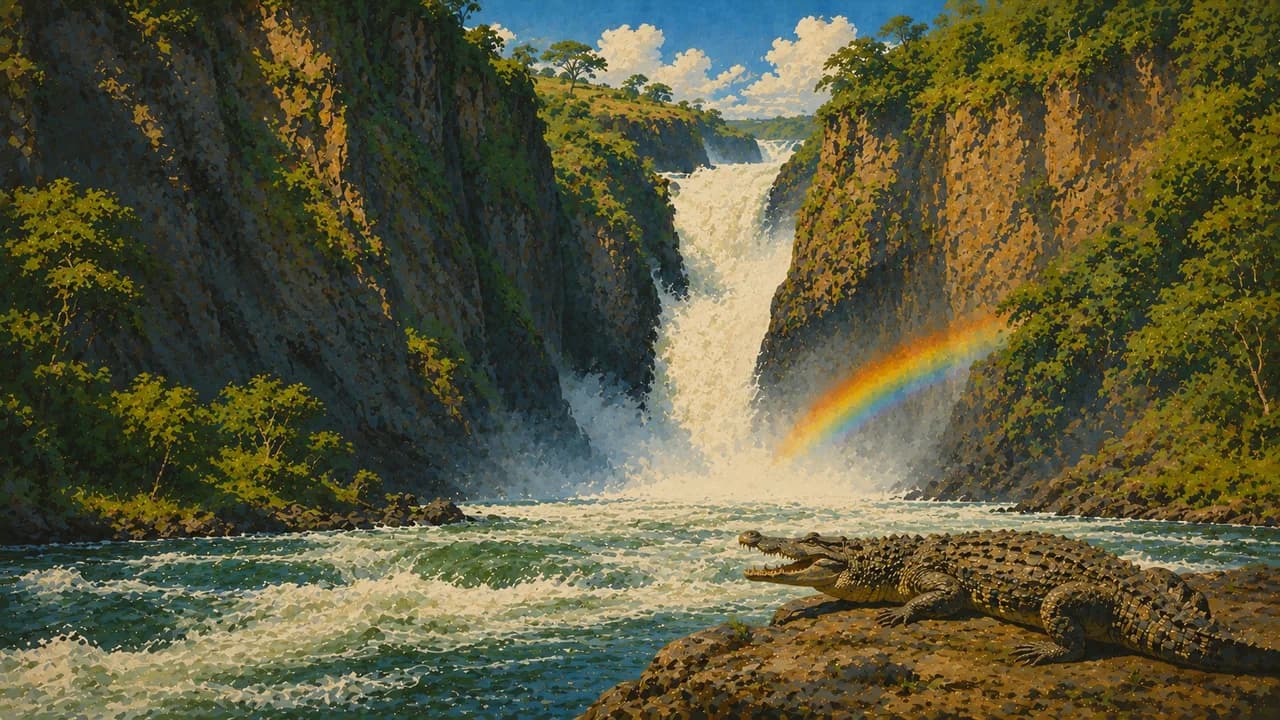
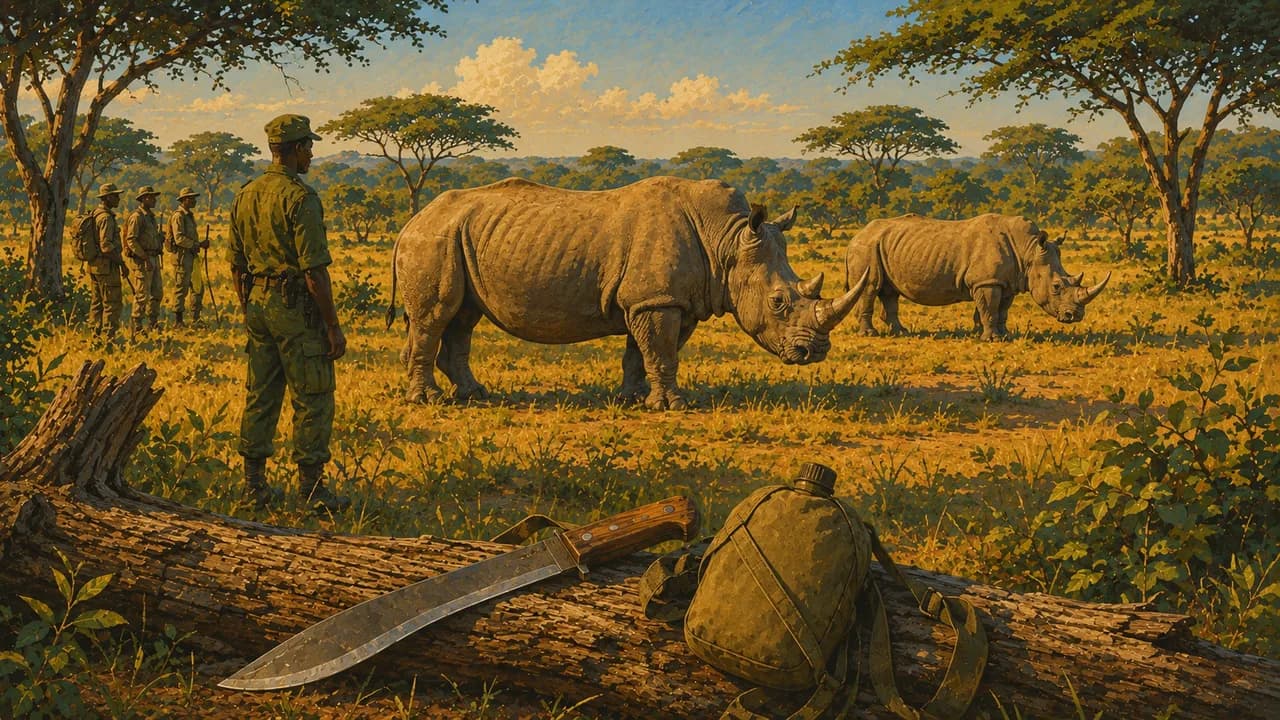
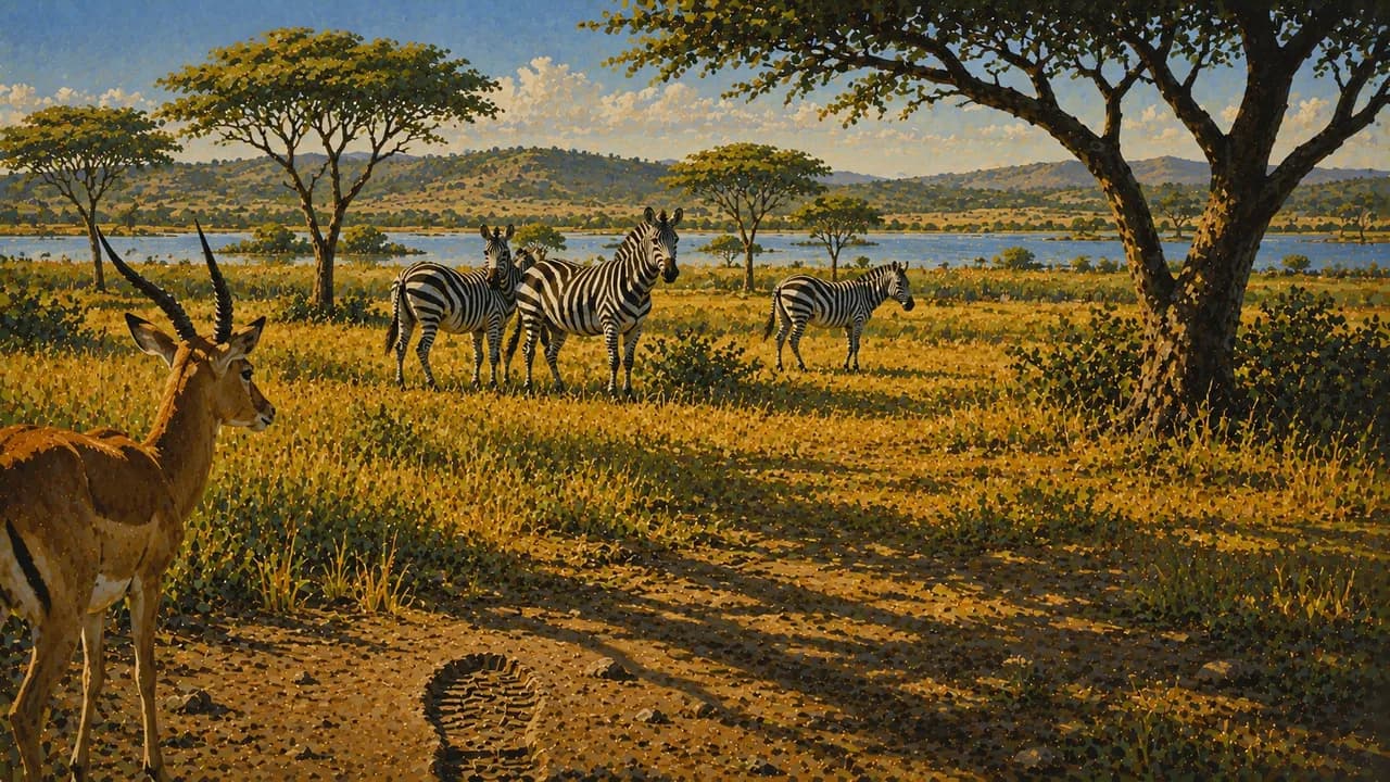
At Murchison Falls, the Nile funnels through a narrow rocky gorge. Ziwa Rhino Sanctuary contributes southern white rhino conservation. Kidepo Valley’s northeastern savannas contrast with Lake Mburo’s lakes and woodlands. Respect wildlife distances and community consent around visits and photography.
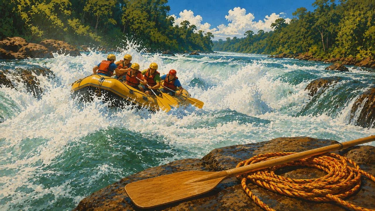
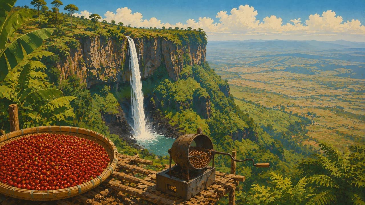
At Jinja, the Nile leaves Lake Victoria, with rafting farther downstream subject to conditions and qualified operators. Sipi Falls descends from Mount Elgon’s slopes through coffee-growing country. Regional kitchens include matooke cooking bananas and luwombo steamed in banana leaves. Music, dance and craft traditions connect everyday life and cultural heritage.
Rain often intensifies from March to May and September to November, with regional differences. Forests remain wet, highland nights can be cold, and flooding or landslides can disrupt roads. Seasonal guidance does not guarantee access.
AI edited
- 4
- Regions The four broad geographic regions are Central, Eastern, Northern and Western. They provide orientation here rather than representing four uniform regional administrations. Districts, cities and statistical subregions are different levels. Cultural kingdoms are also distinct from these broad regions.
- ≈ 51.39 million
- Population Rounded UN projection for 2025 using the medium-fertility variant. UNData gives 51.385 million people. This is neither a census nor a count for 2026. Uganda’s national census and projection series can differ substantially.
- 241,550 km²
- Area Surface area according to UNData, referenced to 2023, including inland waters. This is not land area alone. National figures may differ slightly. Uganda’s shares of major border lakes form part of its geography, rather than their entire transboundary water surface.
- English · Kiswahili
- Languages The constitution names English as the official language and Swahili as the second official language for legally prescribed uses. Kiswahili is another name for Swahili. Everyday usage and communication vary regionally. Official status does not imply equally widespread use everywhere.
- Luganda and others
- Other languages Luganda is particularly widespread in Buganda and Kampala. Other regional languages include Runyankore-Rukiga, Runyoro-Rutooro and Acholi. This selection illustrates linguistic diversity rather than providing a complete list or equating every region with Luganda.
- Uganda shilling
- Currency International currency code UGX. The code also serves as the unambiguous sign in this tile. Banknotes and coins are issued by the Bank of Uganda. Card, ATM and mobile payment availability varies. Confirm payment arrangements with accommodation and operators beforehand.
- G
- Socket type Type G with three rectangular contacts, typically 240 V and 50 Hz. Installations can differ. Check device suitability, earthing and plug shape. A travel adaptor changes neither voltage nor frequency. Remote accommodation may have limited electricity supply.
- Kampala
- Capital Kampala is the capital and a major commercial and administrative centre. Entebbe also stands on Lake Victoria and has the international airport, but is not the capital. This tile’s clock shows Kampala’s local time.
- Left-hand traffic
- Driving side Traffic drives on the left. Road quality, traffic density, animals and unlit vehicles require particular care. Avoid road travel outside towns after dark. Rain can affect roads and bridges. The tile’s directional illustration reflects left-hand traffic.
- UTC+3
- Time zone East Africa Time applies year round without seasonal clock changes. Kampala’s clock uses the IANA zone Africa/Kampala. Changes in the time difference with Europe result from European summer time rather than Ugandan clock changes.
- 1
- UNESCO cultural site The Tombs of Buganda Kings at Kasubi count as one exclusively cultural UNESCO World Heritage property. Bwindi and the Rwenzori Mountains are natural World Heritage and are excluded here. Tentative List entries and intangible heritage are also excluded. The property is living royal and spiritual heritage.
Uganda on the map

Map data: geoBoundaries (CC BY 4.0), © OpenStreetMap contributors (ODbL), Natural Earth
Climate and best time to travel
The months are broad climatic comparison windows and guarantee neither access nor wildlife sightings. January and February and June to August are comparatively drier in many southern and western areas. September and December can be rainy transition months. Rainy periods often fall roughly between March and May and September and December, sometimes extending beyond them. In the north and northeast these generally merge into a longer rainy period, with a more pronounced dry window roughly from December to February. The Kidepo and Murchison Falls selections particularly reflect this. Heat and dust can be demanding there. Forest trails in Bwindi, Mgahinga and Kibale remain wet and slippery even in drier months. Primate visits require permits, ranger guidance and current health rules. In the Rwenzori, rain, cold and difficult alpine conditions remain possible even during a more favourable weather window. Specialist guiding, preparation and acclimatisation are essential. Around Sipi, heavy rain and landslides can affect trails. Water sports at Jinja depend on water levels, local conditions and qualified operators. Lakeshores and islands do not guarantee safe swimming conditions. Current official security, entry and health advice must guide planning. Germany’s Foreign Office discourages nonessential travel to Semliki National Park and the Congolese border belt. Particular caution is required in several western parks and Karamoja. Check this independently of the displayed months. Plan overland journeys with suitable operators, avoid night driving and allow spare time for weather and traffic.
Destinations in Uganda
 AI generated
 AI generated
 AI generated
 AI generated
 AI generated
 AI generated
 AI generated
 AI generated
 AI generated
 AI generated
 AI generated
 AI generated