Rwanda
Green hills, diverse montane forests and quiet lakes connect encounters with nature, culture and remembrance.
Worth coming back!
Wanderlama keeps growing with new destinations, helpful information and exciting features. Check back soon and discover what is new!
Travel to Rwanda
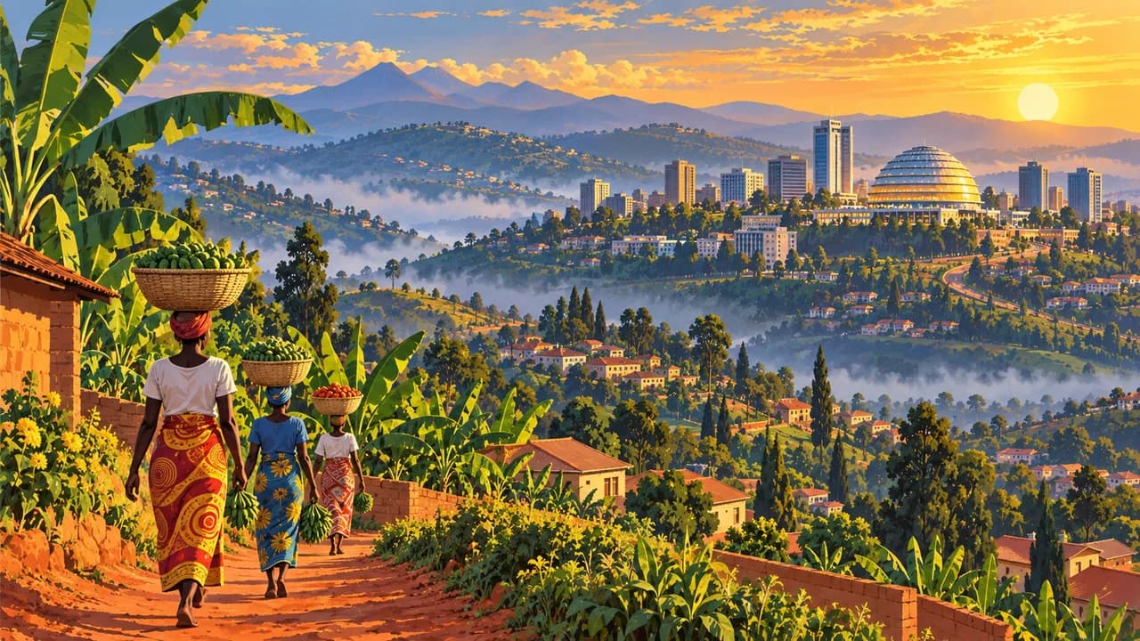
Rwanda combines densely settled hills, volcanic highlands, montane forests and eastern savannas. Kigali offers markets, contemporary art and museums. The Kigali Genocide Memorial at Gisozi and the memorial at Nyamata belong to a UNESCO cultural property commemorating the 1994 genocide against the Tutsi. Approach these places with respect for survivors, remembrance and photography rules.
Check current official advice before planning western routes. Germany’s Foreign Office advises against non-essential travel to border regions adjoining the Democratic Republic of the Congo. Conflict across the border can affect nearby areas. Confirm border status, routes, health requirements and insurance rather than treating the country as uniformly safe. The land border with Burundi is closed according to current official advice.
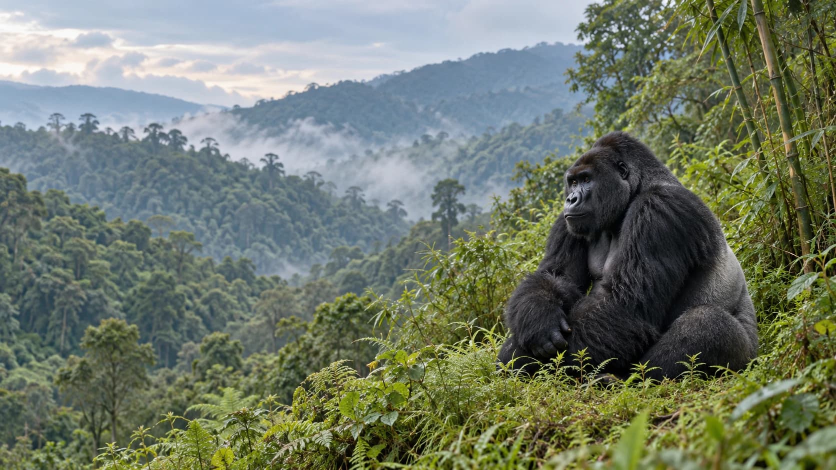
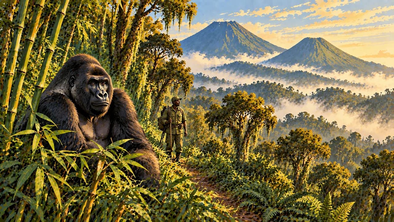
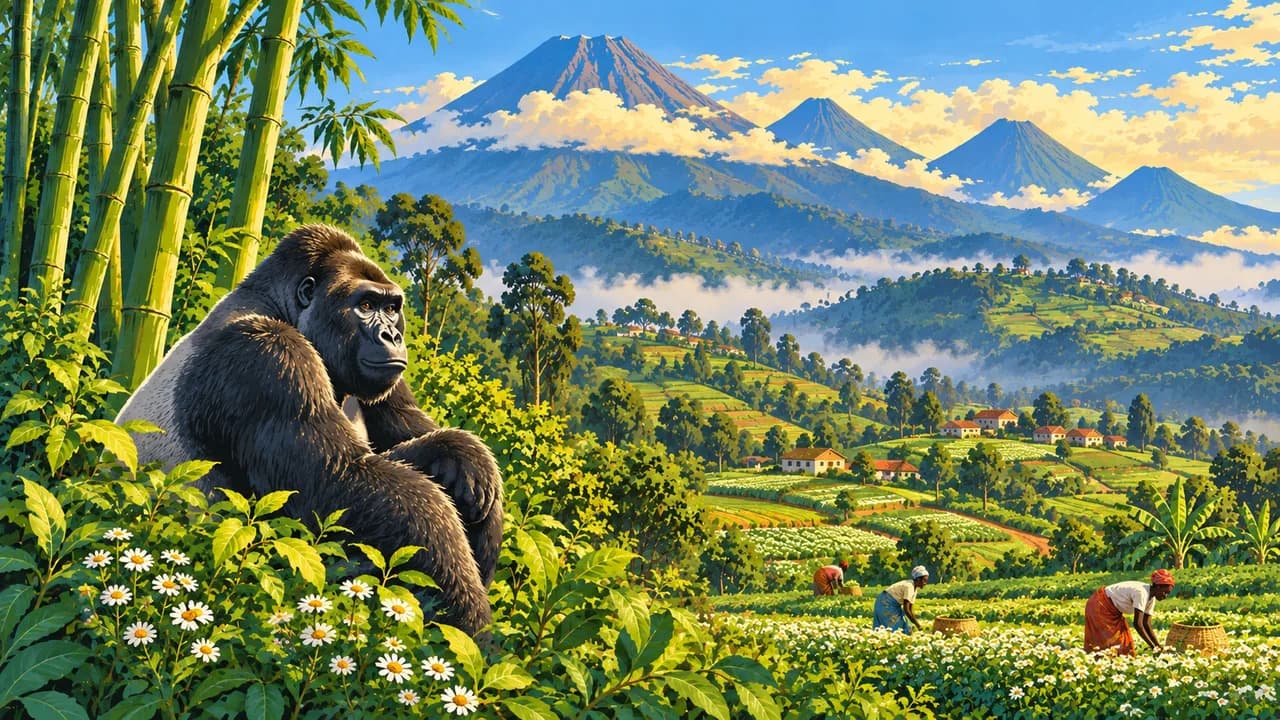
Musanze connects with Volcanoes National Park, where mountain gorillas and golden monkeys inhabit the Virunga slopes. Tracking requires permits and guided arrangements, physical preparation and compliance with wildlife health rules. Gishwati-Mukura National Park adds recovering forest habitats and community conservation. Confirm access and available activities directly, with no guaranteed animal encounter.
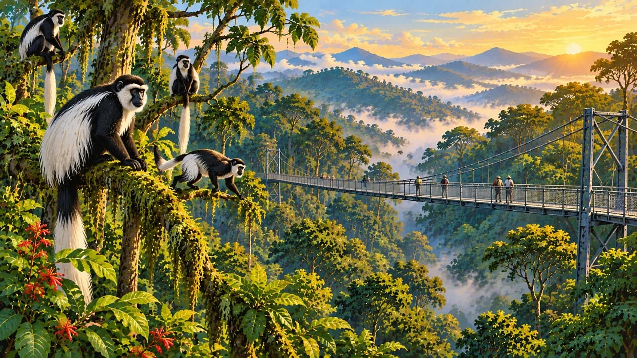
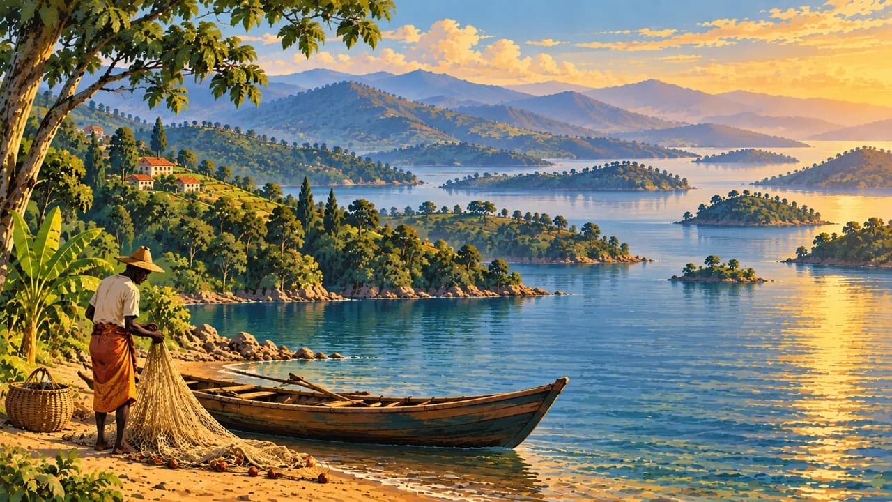
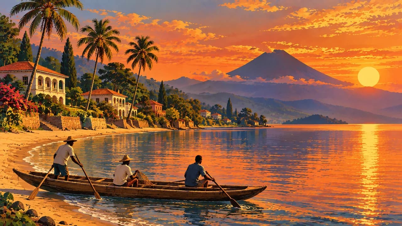
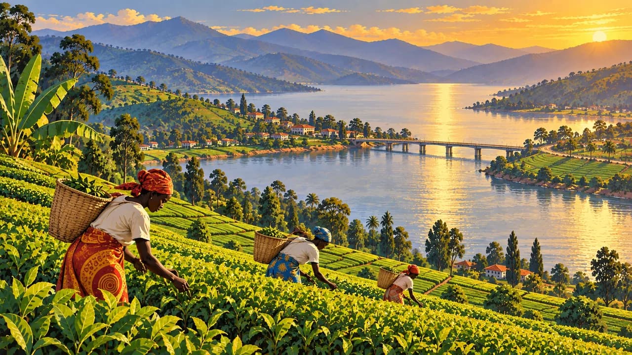
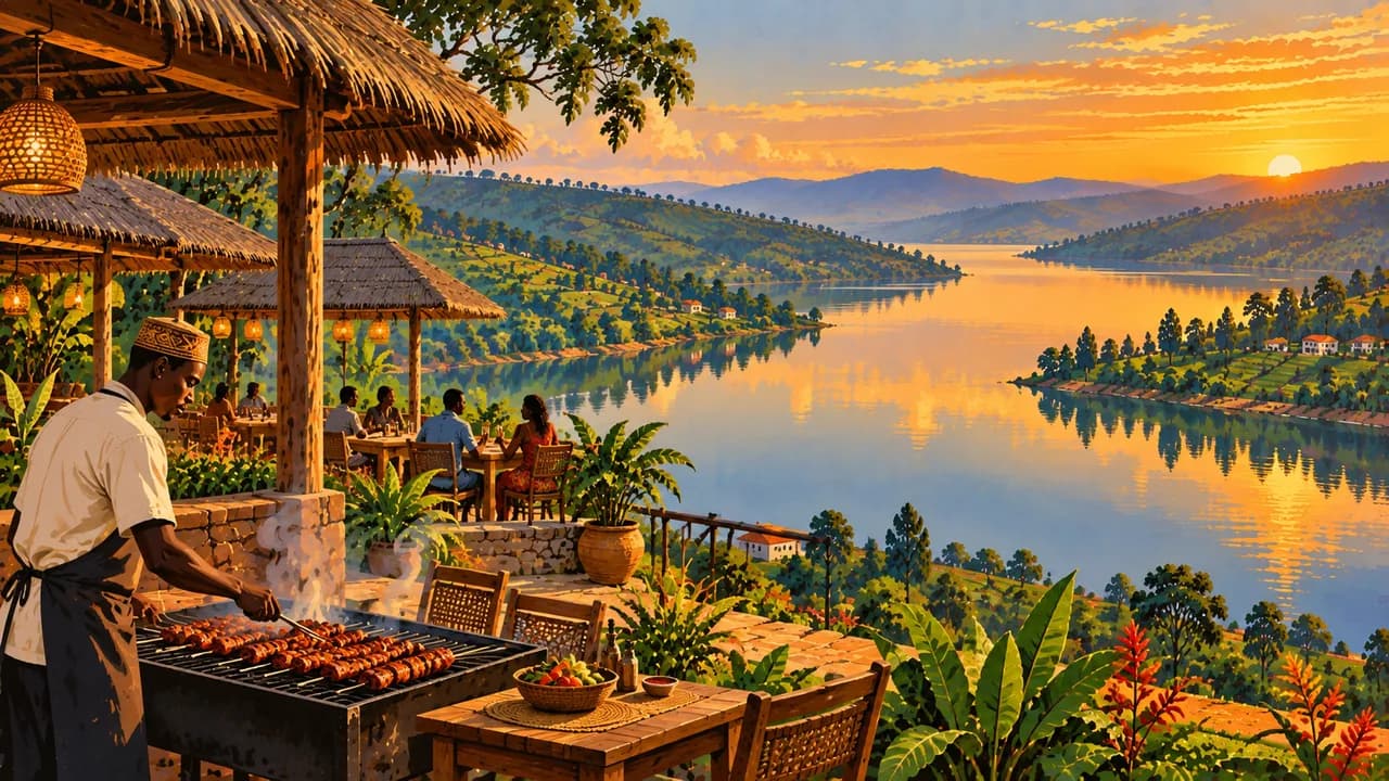
Lake Kivu links the waterfront towns of Rubavu, Karongi and Rusizi with fishing livelihoods, coffee-growing hills and island scenery. Boat trips depend on local conditions and appropriate operators. Nyungwe National Park protects montane rainforest, chimpanzees and rich birdlife. Its natural World Heritage designation is separate from the memorial sites. Forest trails and the canopy walkway require suitable arrangements and weather checks.
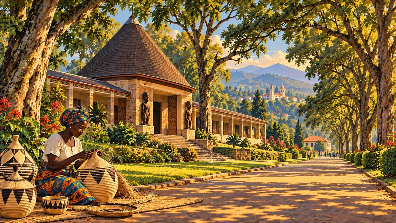
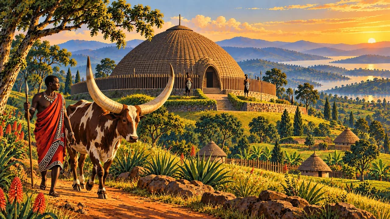
Huye’s Ethnographic Museum and Nyanza’s reconstructed royal residence introduce history, craftsmanship and court traditions. Basket weaving, dance, coffee and tea broaden the cultural picture. Food includes beans, plantains and isombe made from cassava leaves. Choose locally agreed visits and seek consent before photographing people.
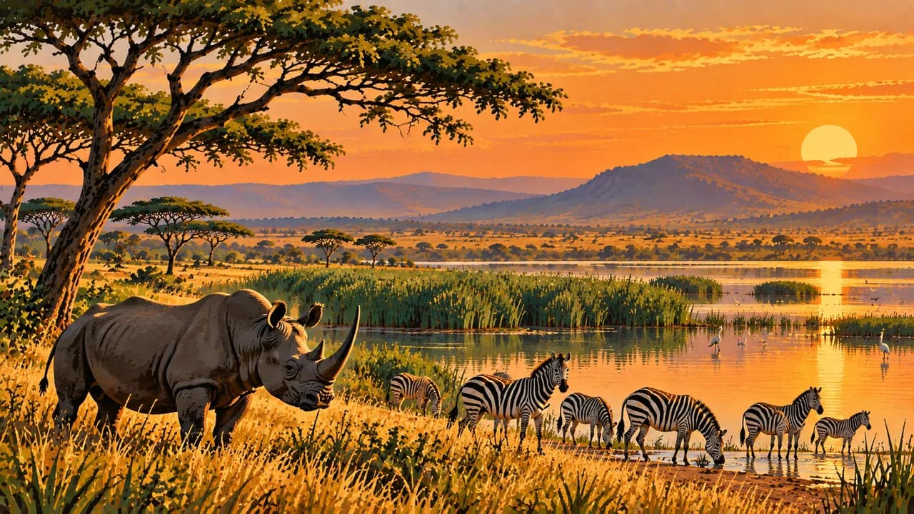
Lake Muhazi offers another lakeshore setting, while Akagera National Park combines savanna, lakes and wetlands. Wildlife sightings remain conditional. June to August is generally comparatively dry, but rain remains possible, especially in forests. Highland nights can be cold, and slippery paths and heavy rain require flexible plans.
AI edited
- 4 + 1
- Provinces and capital Four provinces, Northern, Southern, Eastern and Western, and the City of Kigali form the top administrative level. Kigali is not a fifth province. Their 30 districts are not counted here.
- ≈ 14.42 million
- Population Rounded national population projection for 2026. The statistics agency NISR and the finance ministry give 14,418,145 people. This is not a census. UN projections and other reference years are kept separate.
- 26,338 km²
- Area Surface area according to UNData, referenced to 2023. The figure covers the entire national territory rather than land area alone. Rwanda is landlocked, with highlands, lakes and lower eastern landscapes.
- Kinyarwanda
- Language Kinyarwanda is the national language and an official language. English and French are also official. An organic law added Kiswahili as official in 2017. The tile highlights only the shared national language.
- English, French, Kiswahili
- Other languages Use of these three further official languages varies by education, region and context. The constitution names Kinyarwanda, English and French and allows additions by organic law. Kiswahili was added in 2017.
- Rwandan franc
- Currency International currency code RWF. The central bank uses the abbreviation Frw among other forms. Confirm cash needs and electronic payment acceptance with accommodation and operators. Plan reserves for remote routes and use official exchange facilities.
- C · J
- Socket types Common socket forms are C and J, with 230 V and 50 Hz. Installations can differ. Confirm earthing and device suitability. A travel adaptor changes neither voltage nor frequency.
- Kigali
- Capital The capital forms its own administrative unit alongside the four provinces. Markets, museums and contemporary art shape city life. The Gisozi memorial is part of a shared UNESCO cultural World Heritage property.
- Right-hand traffic
- Driving side Traffic drives on the right. Winding roads, varying surfaces, pedestrians and heavy rain require care. Plan journeys outside towns for daylight. Use current route information and suitable vehicles, and do not drive through flooded sections.
- UTC+2
- Time zone Central Africa Time applies year round without seasonal clock changes. The clock shows Kigali’s local time using the IANA zone Africa/Kigali. Changes in the time difference with Europe result from European summer time.
- 1
- UNESCO cultural site Nyamata, Murambi, Gisozi and Bisesero form one serial UNESCO cultural property from 2023 commemorating the 1994 genocide against the Tutsi. They are not four inscriptions. Natural Nyungwe and intangible heritage are excluded.
Rwanda on the map

Map data: geoBoundaries (CC BY 4.0), © OpenStreetMap contributors (ODbL), Natural Earth
Climate and best time to travel
The months describe climatic conditions rather than guaranteeing safety, access or wildlife encounters. Current official advice must guide route choices. Non-essential travel to border regions adjoining the Democratic Republic of the Congo is discouraged. This matters when assessing western destinations and connections, particularly around Rubavu and Rusizi. Favourable weather does not override that advice. The land border with Burundi is closed according to current official information. Across much of Rwanda, the heavier rainy season runs approximately from mid-February to May, with another from mid-September to mid-December. June to August is therefore the shared comparatively dry window in the cards. January adds a usually shorter drier period. In lower-lying Akagera, September can also suit wildlife viewing, with a possible transition towards rain. Rain remains possible year round, especially in Nyungwe, Gishwati-Mukura and on volcanic slopes. Slippery, steep forest trails require suitable footwear and physical preparation. Primate tracking requires permits, guides and compliance with the relevant park’s current health rules. If ill, clarify visits with the operator, maintain distance and do not touch animals. Wind, thunderstorms and visibility affect lakes Kivu and Muhazi. Plan boat trips with suitable operators and appropriate lifejackets. Highland nights can be cold, while Akagera is generally warmer. Heavy rain and landslides can interrupt roads and paths. Allow daylight, spare time and current weather information.
Destinations in Rwanda
 AI generated
 AI generated
 AI generated
 AI generated
 AI generated
 AI generated
 AI generated
 AI generated
 AI generated
 AI generated
 AI generated
 AI generated