Burundi
Green highlands, broad lakeshores and living drumming traditions shape the heart of the Great Lakes.
Worth coming back!
Wanderlama keeps growing with new destinations, helpful information and exciting features. Check back soon and discover what is new!
Travel to Burundi
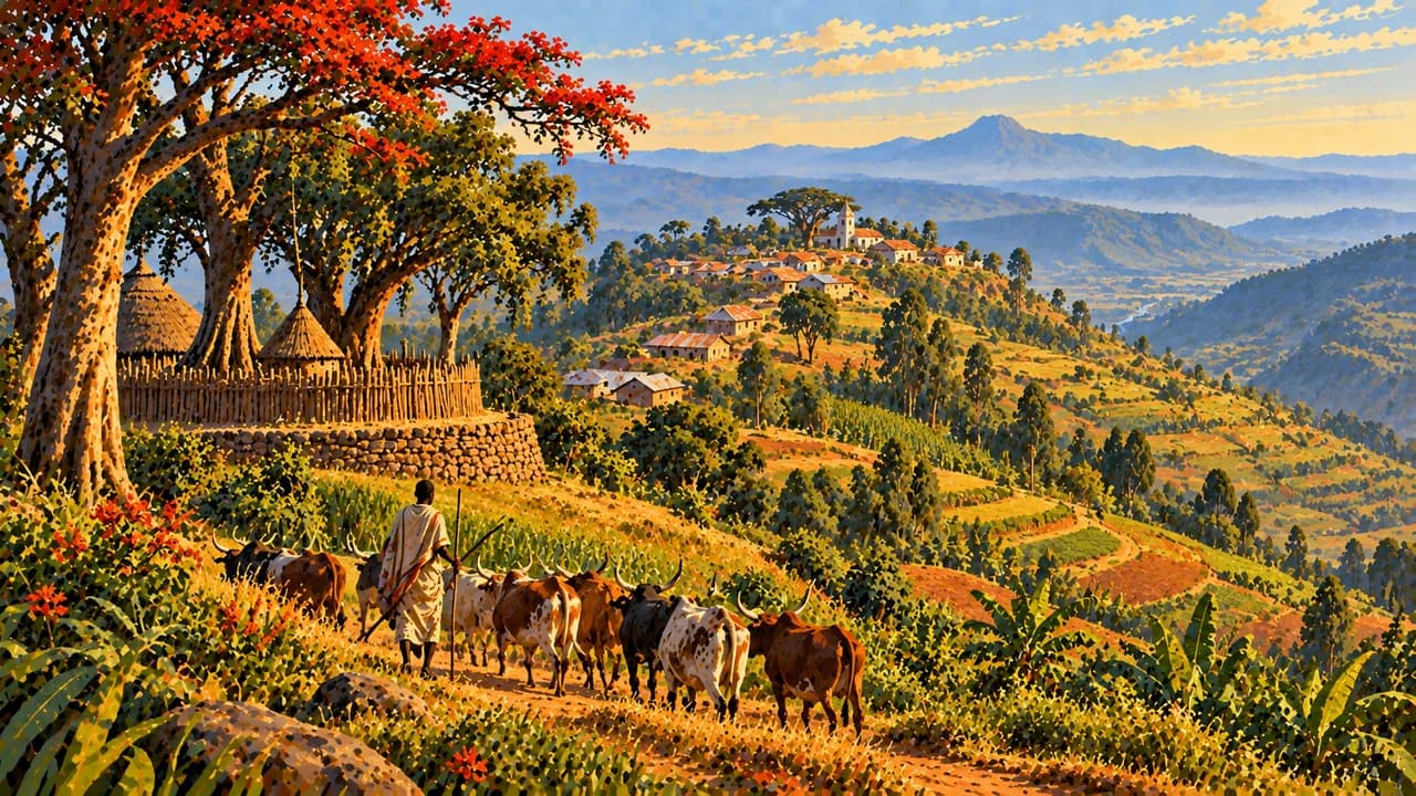
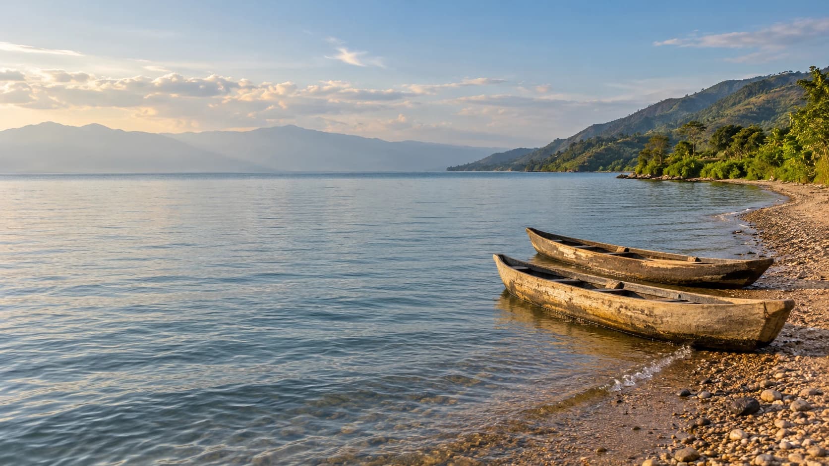
Burundi is a hilly, landlocked country in East Africa, where Lake Tanganyika contrasts with cooler highlands, forests and cultivated slopes. Gitega is the political capital, while Bujumbura remains the largest city and economic centre on the lakeshore. Royal history and living musical traditions add depth to the landscapes.
Current security advice must guide any itinerary. The German Foreign Office strongly advises against nonessential travel to northern parts of the new Bujumbura province and northern Kibira National Park. Conflict in neighbouring DR Congo can affect border areas. Check current access locally rather than treating the places described here as an unrestricted touring circuit.
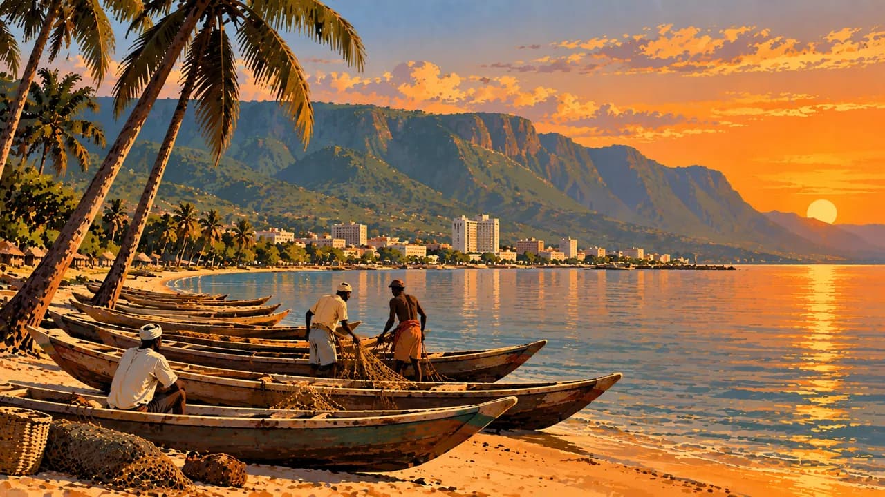
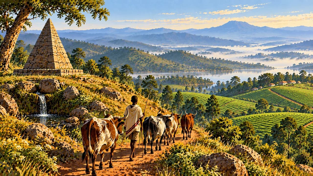
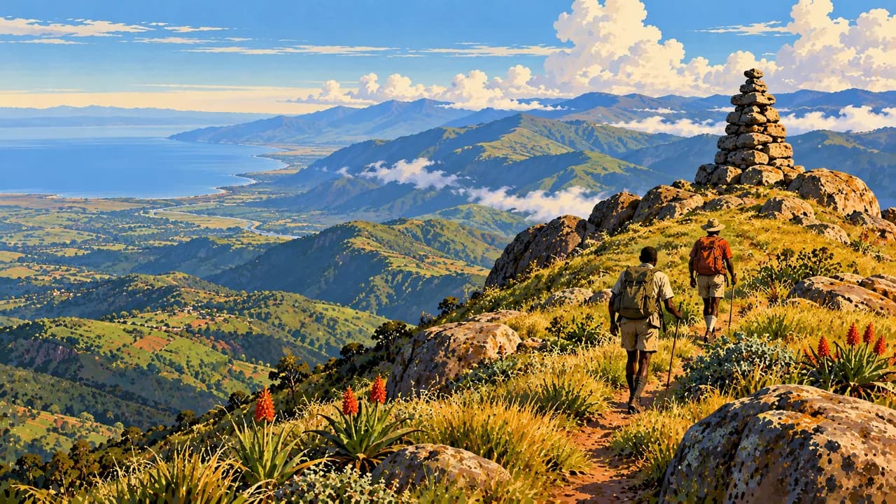
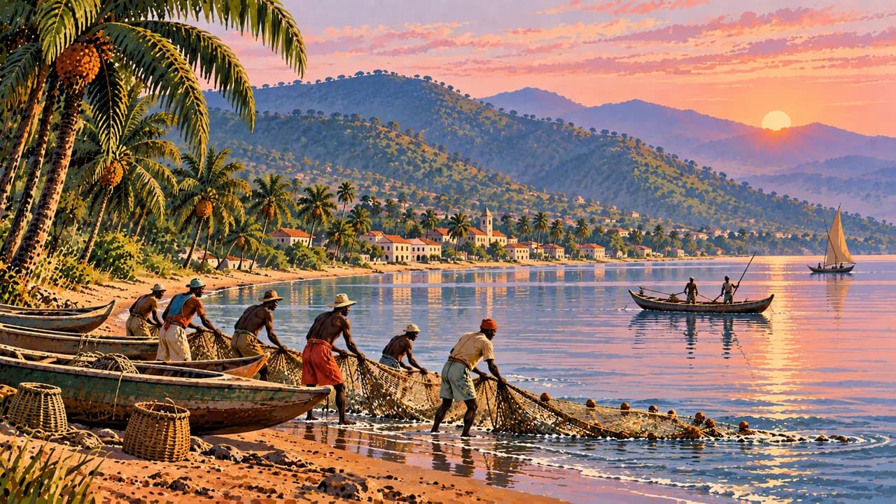
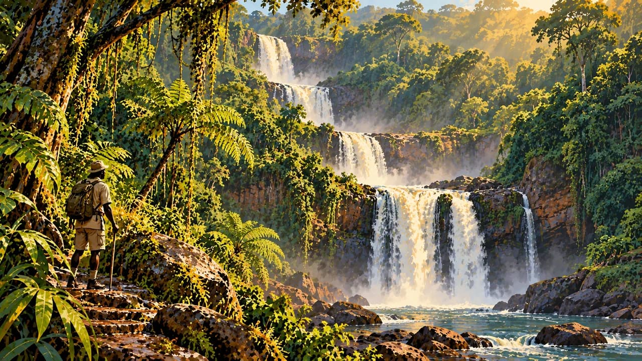
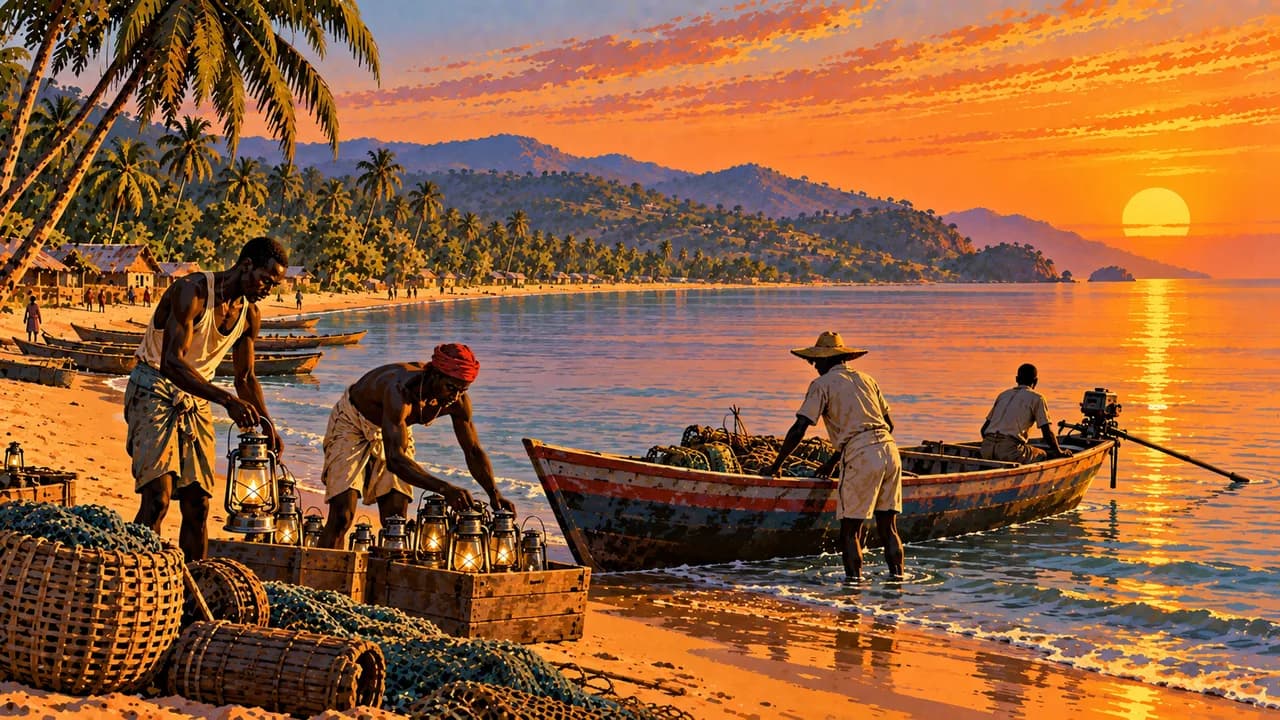
Along the southern lakeshore, Rumonge and Nyanza-Lac introduce fishing communities and coastal scenery. Inland, Mount Heha rises above the escarpment. Around Rutovu, the Gasumo spring belongs to the Nile's southern headwaters, rather than being its sole source. The Karera Falls add wooded cascades to the southern highlands.
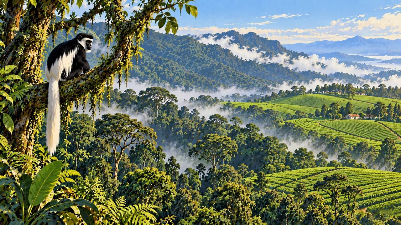
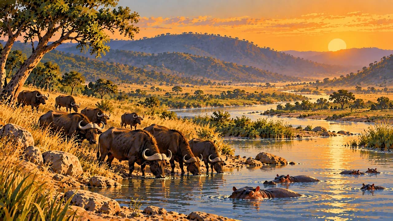
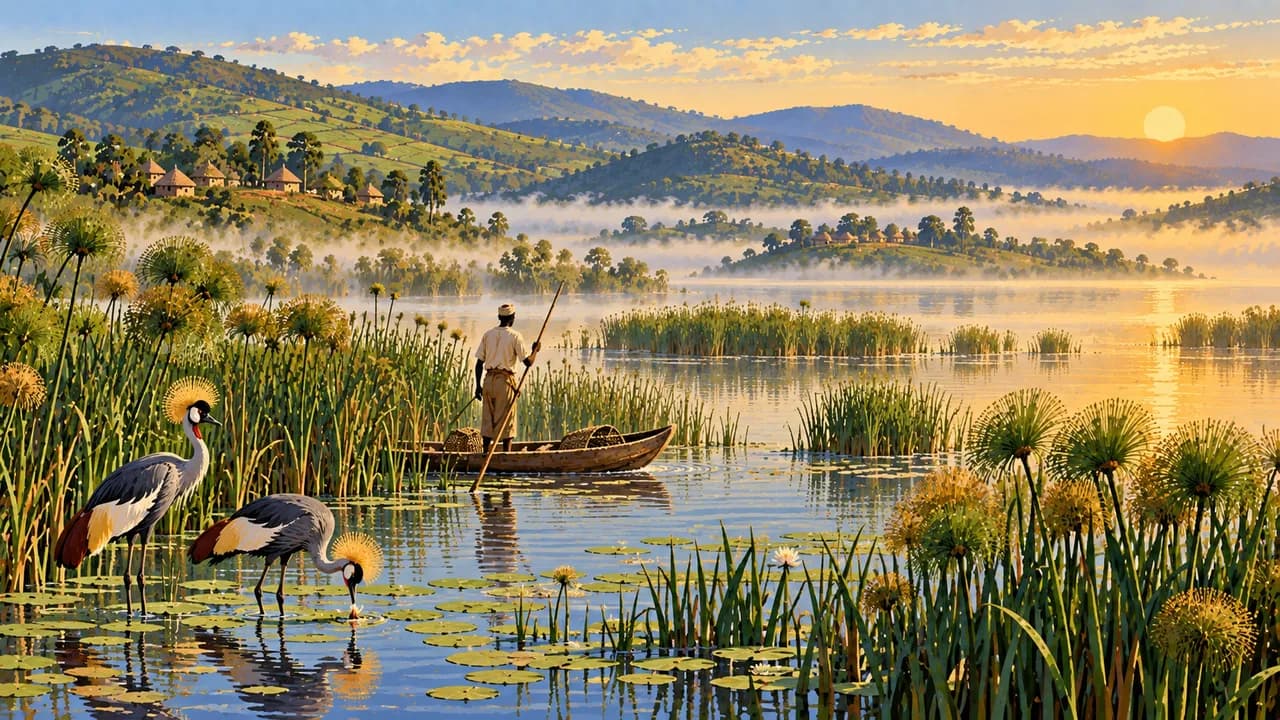
Kibira protects montane forest, while Ruvubu National Park combines river valleys, savanna and varied birdlife. Lakes around Kirundo add northern wetland habitats. Wildlife sightings and access depend on conditions, permissions and local guidance. Muramvya's sacred landscapes preserve traces of royal residences and ceremonies.
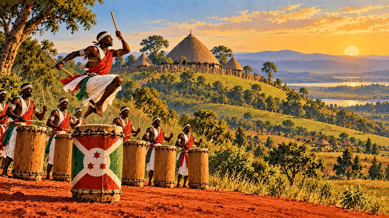
Gitega's museum and nearby Gishora drum sanctuary introduce the former kingdom and its cultural legacy. UNESCO recognises the ritual dance of the royal drum as intangible heritage, distinct from World Heritage sites. Burundian food includes beans, fish, ubugali and isombe made from cassava leaves, alongside tea and coffee traditions.
June to September is generally drier, with cooler nights at altitude and warmer conditions beside the lake. Rain can disrupt roads. Allow for fuel shortages and slow journeys, arrange excursions with knowledgeable local guides and request consent before photographing people.
AI edited
- 5
- Provinces After a reform legislated in 2023 and implemented in 2025, Burundi has five provinces, Bujumbura, Gitega, Butanyerera, Buhumuza and Burunga. Older maps show 18 provinces. Bujumbura province differs from the city.
- ≈ 12.33 million
- Population The RGPHAE 2024 census counted 12,332,788 residents, as reported by a 2025 decree and UN statistics. It is not a 2026 count. The older UN projection for 2025 is kept separate.
- 27,834 km²
- Area Total surface area including inland waters according to the Burundian government. The country combines highlands with Lake Tanganyika’s eastern shore. Land area alone is smaller and should not be equated with this total.
- Kirundi · French
- Languages Kirundi is the national language and central to everyday life. French is used in areas including administration and education. The tile names widely used languages without implying that every individual speaks them.
- English · Kiswahili
- Other languages Other languages used in the country. Their significance varies with setting, education, trade and cross-border contacts. Kirundi remains particularly important for many everyday encounters.
- Burundi franc
- Currency The Burundi franc has currency code BIF. FBu is a common abbreviation. Confirm cash access and card acceptance beforehand. Follow current currency and customs rules rather than reuse exchange rates from older travel accounts.
- C · E
- Socket types Common socket forms are C and E. Directories list about 220 to 230 V at 50 Hz. Confirm connections, earthing and device suitability with your accommodation. Adaptors convert neither voltage nor frequency.
- Gitega
- Capital Gitega has been the political capital since 2019. Bujumbura remains the economic centre and international air gateway. The capital and province share a name but are different geographic units.
- Right-hand traffic
- Driving side Traffic drives on the right. Article 279 of Burundi’s road code generally requires keeping near the right-hand edge. Road conditions, poor visibility and traffic can make journeys difficult.
- UTC+2
- Time zone Central Africa Time applies year round without seasonal clock changes. The clock shows the capital Gitega’s local time using the IANA zone Africa/Bujumbura. This technical zone name does not mean the capital uses a different time.
Burundi on the map

Map data: geoBoundaries (CC BY 4.0), © OpenStreetMap contributors (ODbL), Natural Earth
Climate and best time to travel
The months describe climatic conditions and confirm neither safe access nor a current travel recommendation. Germany’s Foreign Office strongly advises against nonessential travel to northern parts of the new Bujumbura province and northern Kibira National Park. Check current security advice and access before planning. June to September generally form the longer dry season and provide a broad climatic window for all seven landscape groups. Showers remain possible. Shorter drier periods around January and February are less reliable. Rainy seasons fall mainly between February and May and between September and December, with variable onset and ending. Lake Tanganyika’s shores are considerably warmer than the highlands. Wind, mist, slippery paths and cool nights can matter on Mount Heha. Waterfalls may carry more water after rain while paths and roads become harder to negotiate. Montane forest remains damp even in drier months. Wildlife watching around the northern lakes and in Ruvubu National Park depends on habitat, water levels and local conditions. Arrange park permits, knowledgeable guides and cultural visits beforehand. Do not automatically plan inland waters as swimming places. Fuel shortages, rain and local restrictions require time buffers. A sequence of favourable months does not create an unrestricted touring route.