South Sudan
River landscapes, open savannas and diverse communities shape a country in transition.
Worth coming back!
Wanderlama keeps growing with new destinations, helpful information and exciting features. Check back soon and discover what is new!
Travel to South Sudan
South Sudan became independent from Sudan in July 2011. This landlocked country combines the White Nile, the Sudd wetlands, savannas and southern highlands. Its many communities maintain distinct languages, livelihoods and cultural traditions.
This is a country portrait, not a touring recommendation. Germany’s Foreign Office warns against all travel and urgently calls on German nationals to leave. Armed conflict, kidnapping, mines and unpredictable checkpoints restrict movement. Medical and consular assistance are limited. Unavoidable stays require professional security planning and reliable evacuation arrangements. The places described do not form an unrestricted route.
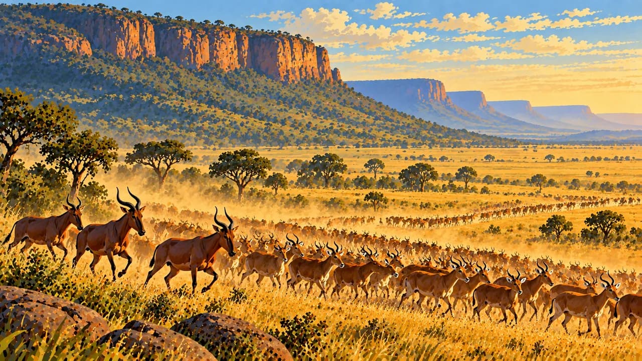
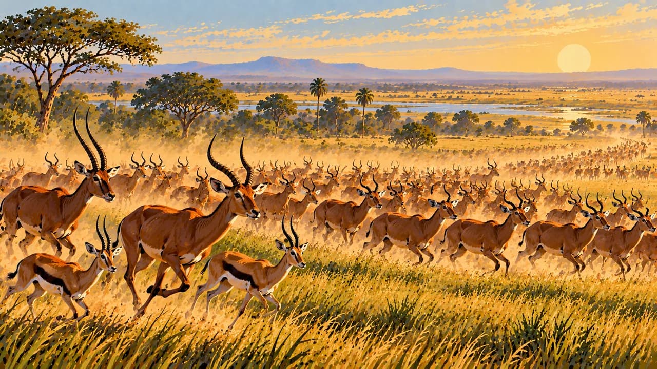
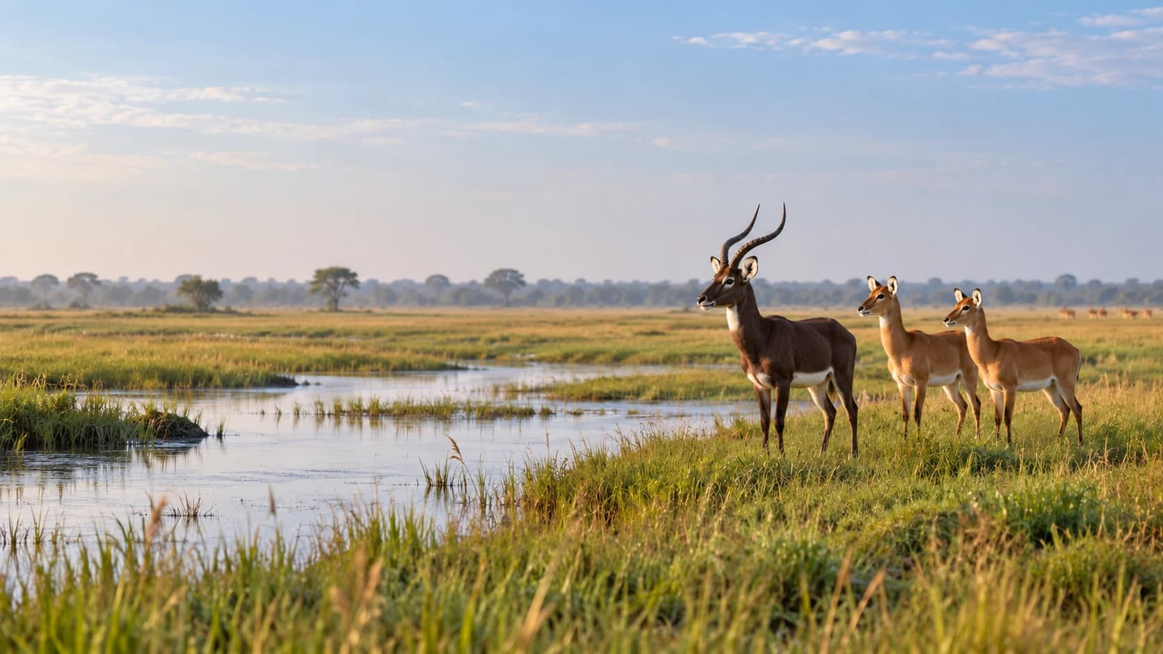
Boma National Park and Badingilo National Park anchor a vast migratory landscape used by millions of white-eared kob, tiang and other antelope. The Boma-Badingilo landscape became UNESCO natural World Heritage in 2026 and was simultaneously listed as endangered. Seasonal movements extend beyond park boundaries and do not guarantee sightings.
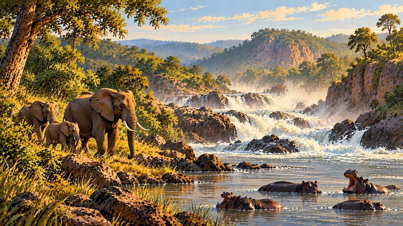
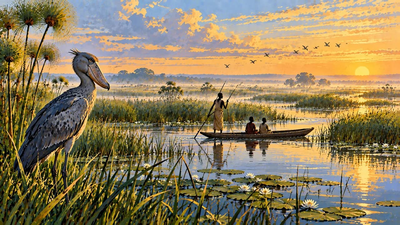
The Sudd is a Ramsar wetland of papyrus, channels and seasonally flooded grasslands supporting fishing, grazing and birdlife. Bor lies beside this river landscape. Farther south, Nimule and its national park connect woodland savanna with the Nile near Uganda, including the Fula rapids.
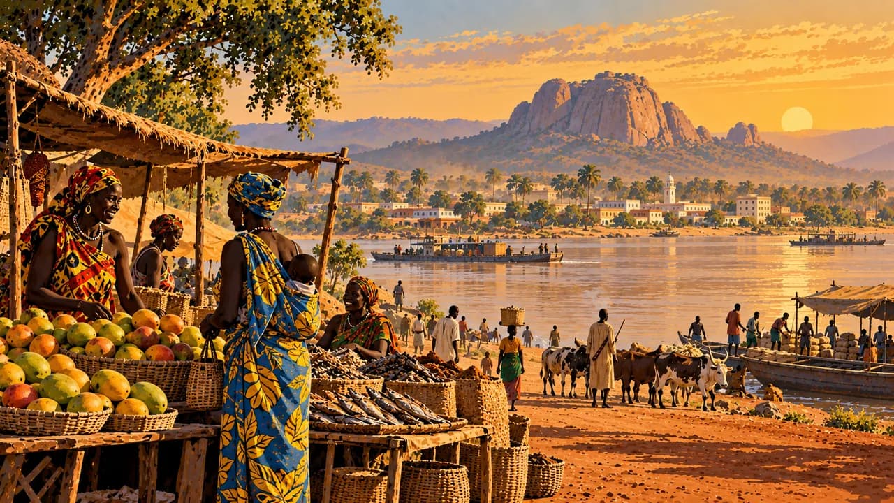
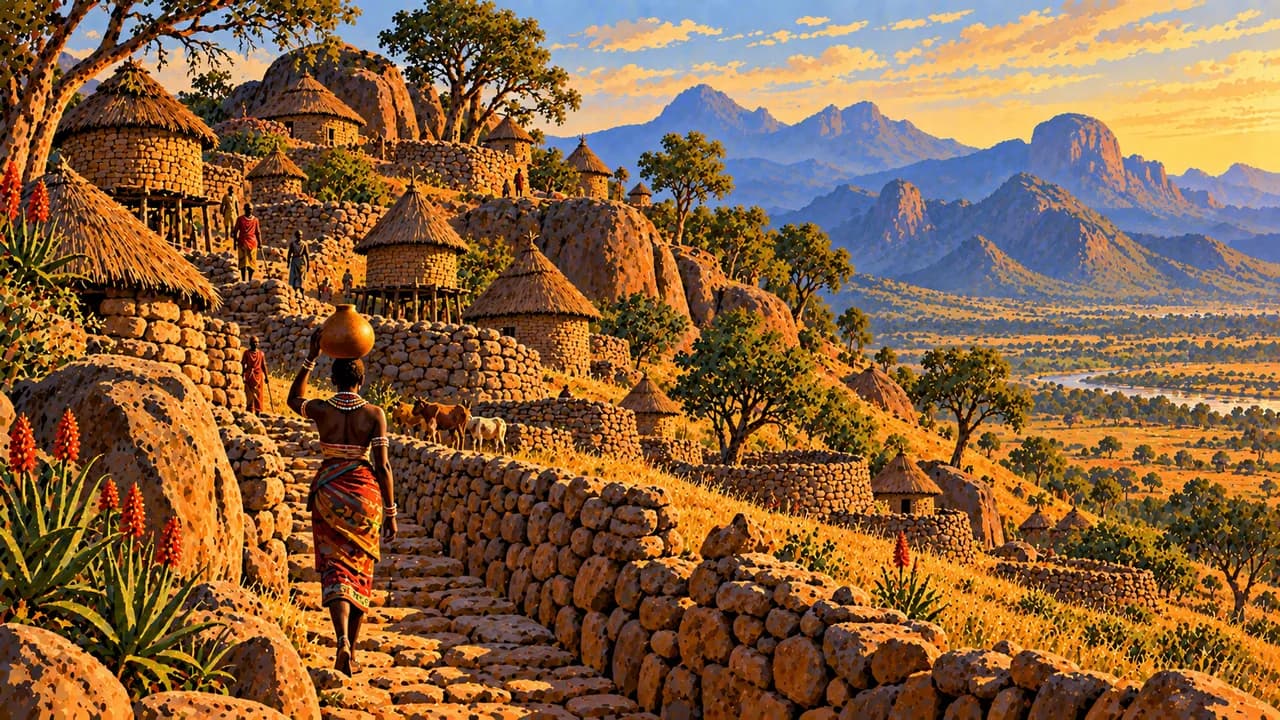
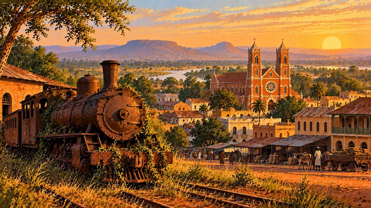
Capital Juba combines riverside commerce, Konyo Konyo market and institutions shaped by independence. In Eastern Equatoria, Torit’s surroundings include Otuho communities, while Toposa pastoralism shapes the Kapoeta area. Wau, farther west, has trading and missionary history reflected in its brick cathedral.
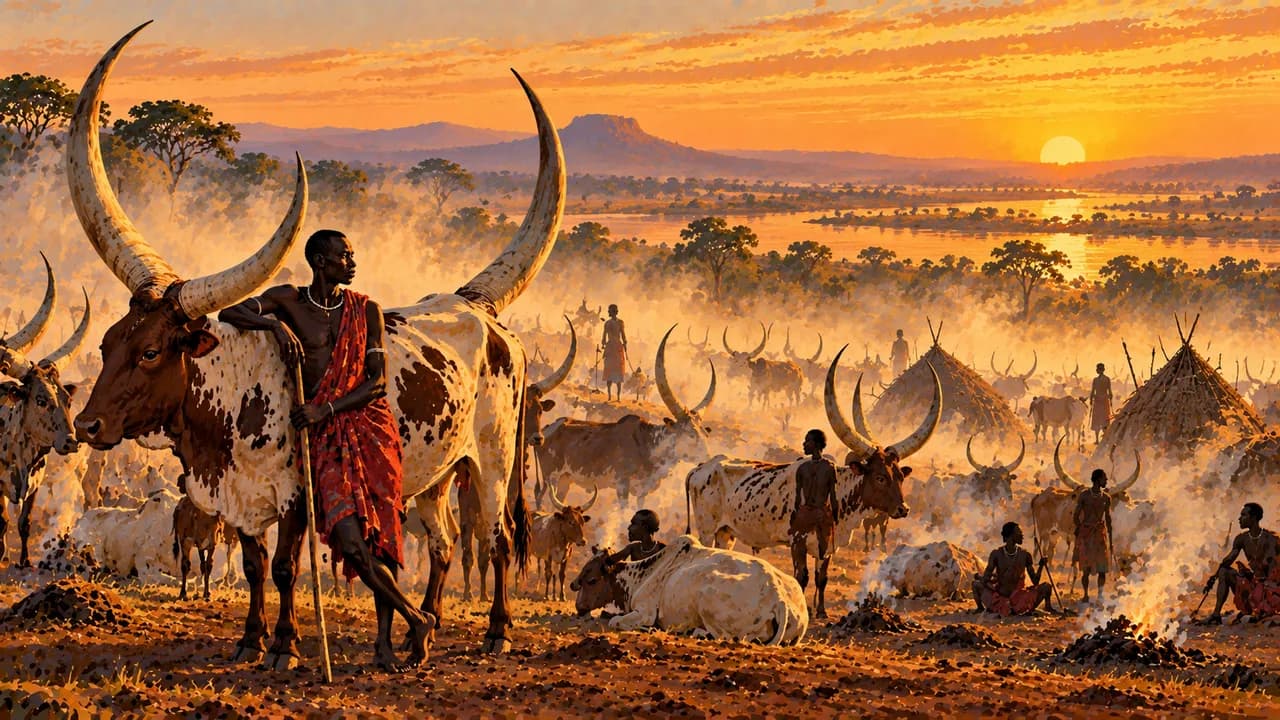
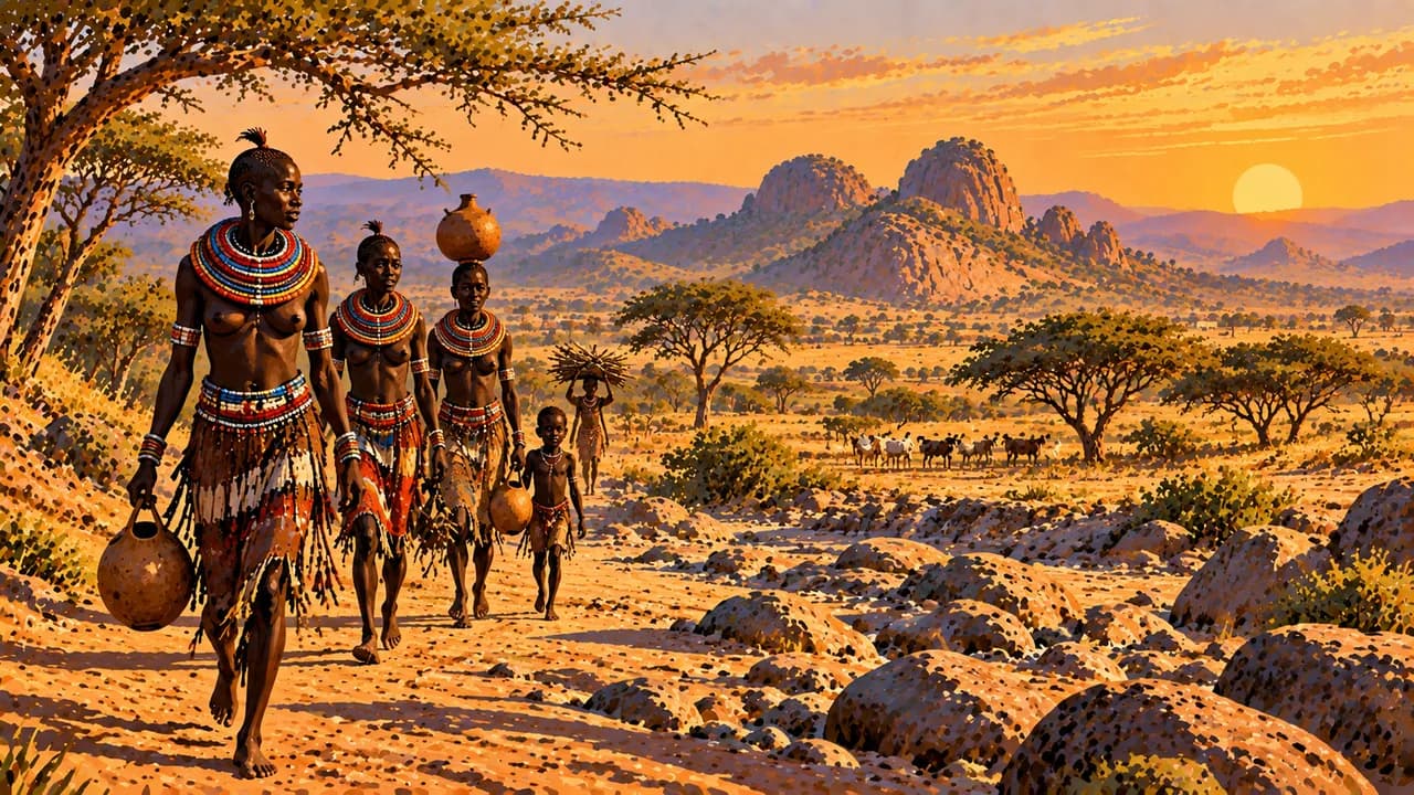
Around Terekeka, Mundari cattle keeping is a livelihood and social institution, not a staged photographic attraction. Visits and photographs require consent. Oral storytelling, music and craftsmanship complement contemporary urban life. Regional staples include sorghum flatbread called kisra and thick porridge called asida.
Rain and flooding can isolate settlements and disrupt roads and airstrips. The generally drier months around December to March remain hot and do not ensure access or security. Water levels, migration patterns and local conditions vary.
AI edited
- 10 + 3
- States and areas The government lists ten states and three administrative areas, Pibor, Ruweng and Abyei, which are not states. Abyei’s status between Sudan and South Sudan is disputed. This display does not decide it.
- ≈ 12.19 million
- Population Rounded UN population projection for 2025, medium-fertility assumption. UNData gives 12.189 million people. This is neither a census nor a count for 2026. Displacement, refugee movements and limited data complicate comparisons.
- 644,329 km²
- Area Total area from a 2024 World Bank project document, matching earlier national statistics. Some sources report other areas. Figures are not averaged or reduced to land area. Disputed borders remain unsettled.
- English
- Language English is the official working language under Article 6 of the transitional constitution. All indigenous languages are national languages to be promoted. English proficiency cannot be assumed everywhere.
- Dinka, Nuer, Bari, Juba Arabic
- Other languages Dinka, Nuer and Bari are among the many indigenous languages. Juba Arabic serves as a regional lingua franca, especially around Juba. Usage differs by region. This list is not exhaustive.
- South Sudan pound
- Currency International currency code and common abbreviation SSP. Since a 2023 legal amendment, the central bank calls it the South Sudan Pound. It is distinct from the Sudanese pound, SDG.
- C · D
- Socket types Typical socket forms are C and D, with 230 V and 50 Hz. Supply and installations can vary. Confirm plug shape, earthing and backup power locally. Adaptors convert neither voltage nor frequency.
- Juba
- Capital Juba, Dschuba in German, is the capital on the White Nile and seat of central government institutions. Markets, commerce and cultural life are part of the city.
- Right-hand traffic
- Driving side Traffic drives on the right. Poor roads, checkpoints, armed robbery, mines and seasonal flooding can prevent journeys. Existing roads or drier months do not establish a safe route.
- UTC+2
- Time zone Central Africa Time applies year round without seasonal clock changes. South Sudan changed from UTC+3 to UTC+2 in February 2021. The clock uses the IANA zone Africa/Juba. Changes in the time difference with Europe result from European summer time.
South Sudan on the map

Map data: geoBoundaries (CC BY 4.0), © OpenStreetMap contributors (ODbL), Natural Earth
Climate and best time to travel
The months provide a broad climatic comparison rather than a travel recommendation or assurance of access. Germany’s Federal Foreign Office warns against all travel to South Sudan and urgently calls on German nationals to leave. Drier months do not alter that advice. Unavoidable stays require professional security planning and reliable medical evacuation arrangements. In the south and parts of Equatoria, the longer rainy period runs approximately from April to November, with regionally different rainfall phases. Farther north, rain often concentrates between May and October. December to March therefore provides a comparatively dry shared window without guaranteeing uniform conditions. Kapoeta and the eastern plains can be particularly hot and dry. March is omitted from those cards, but is not a clear nationwide start to the rains. Rain or persistent flooding can close roads, bridges and airstrips. Around Bor on the Sudd margins, water levels also depend on inflows and earlier rainfall. Even months without heavy local rain do not ensure dry tracks. For Boma and Badingilo, the months indicate only an often drier period. Migratory herds follow different routes and use habitats beyond park boundaries. This window guarantees neither wildlife sightings nor operating visitor infrastructure. Cattle keeping around Terekeka follows pasture and water availability rather than a fixed visitor programme. Community contact requires consent and respectful photography rules. Heat, dust, water shortages and changing local conditions remain relevant in the dry season. These cards do not constitute a viable touring itinerary or justify independent road or boat journeys.