Kenya
Savannas full of life, cool highlands and the Swahili coast connect diverse nature with living cultures.
Worth coming back!
Wanderlama keeps growing with new destinations, helpful information and exciting features. Check back soon and discover what is new!
Travel to Kenya
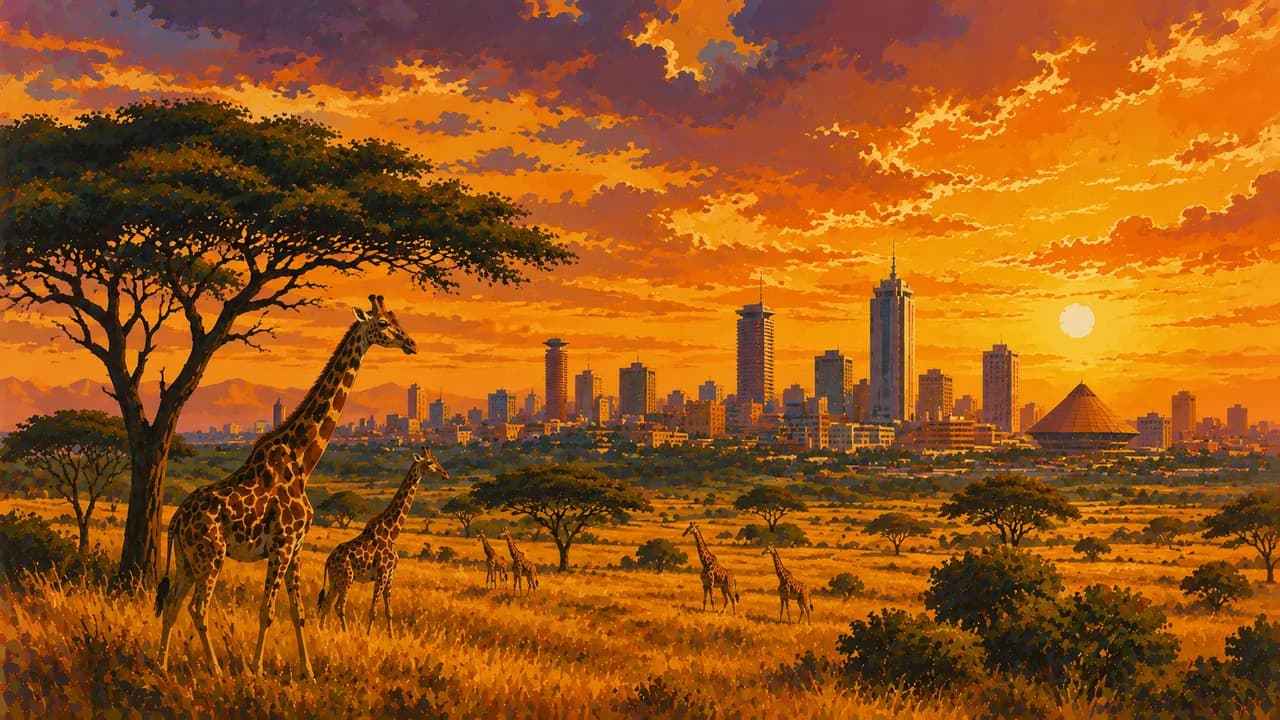
Kenya stretches from Indian Ocean shores across the Great Rift Valley to Lake Victoria, combining savannas, highlands, forests and diverse urban cultures. Nairobi adds museums, markets and contemporary creativity to a national park beside the city skyline. The National Museum introduces the country’s natural history and cultural heritage.
Check current official advice before choosing routes. Regional travel warnings cover eastern areas, including mainland Lamu County. Germany’s Foreign Office advises against non-essential travel to Lamu and Manda islands and urges particular caution around Samburu. Verify current entry, insurance and health requirements, including outbreak-related measures. These places do not form an unrestricted touring circuit.
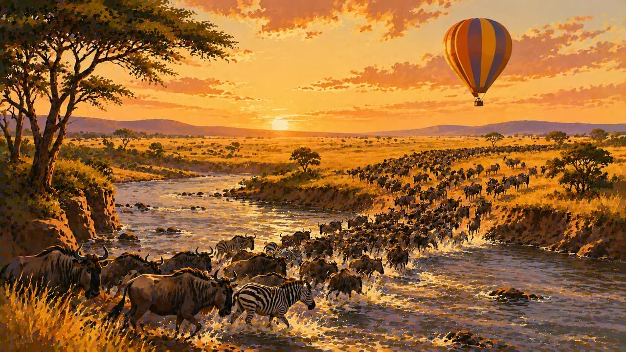
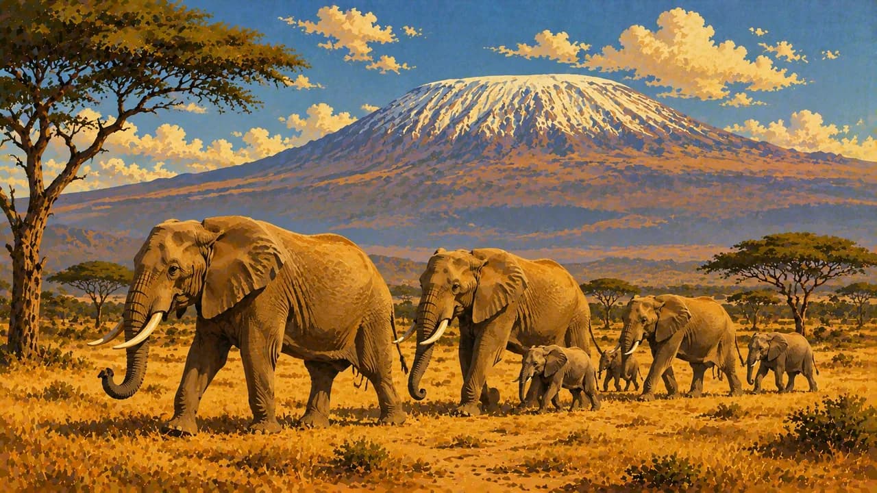
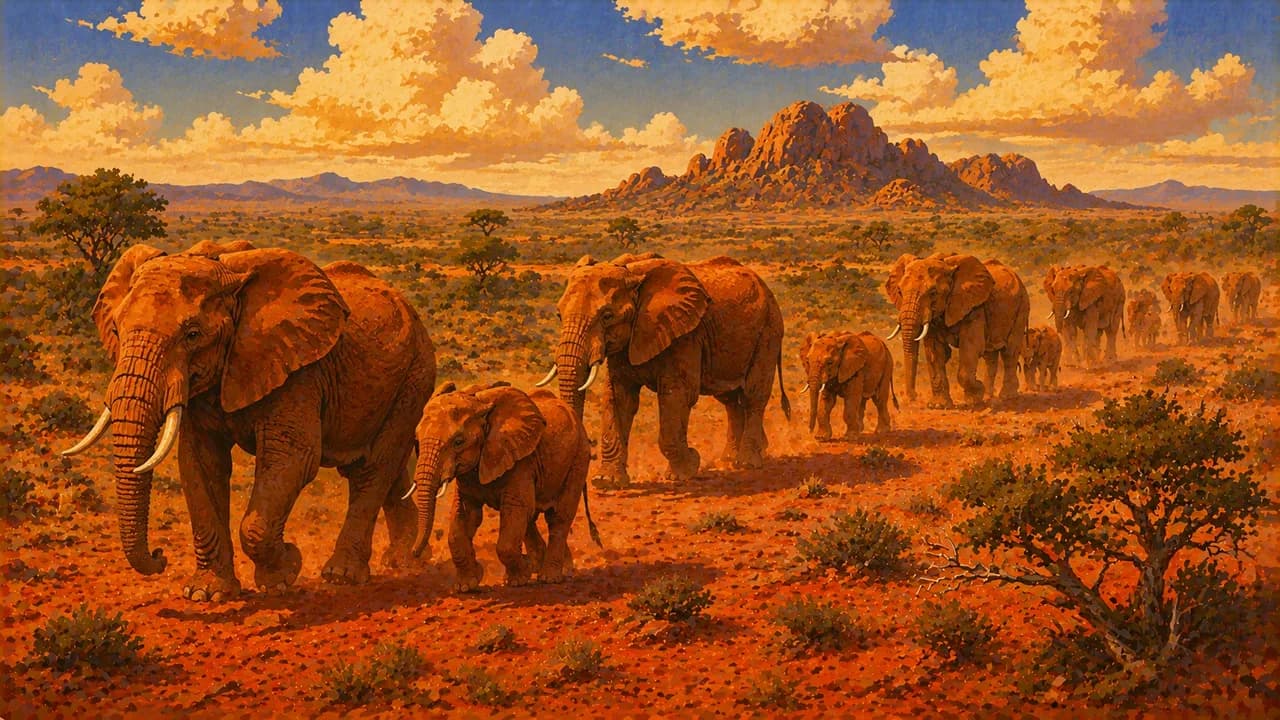
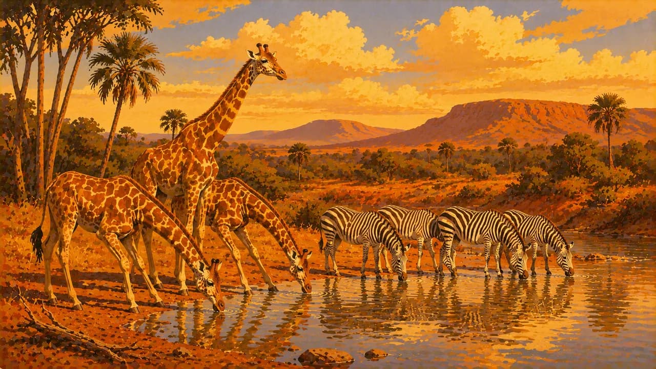
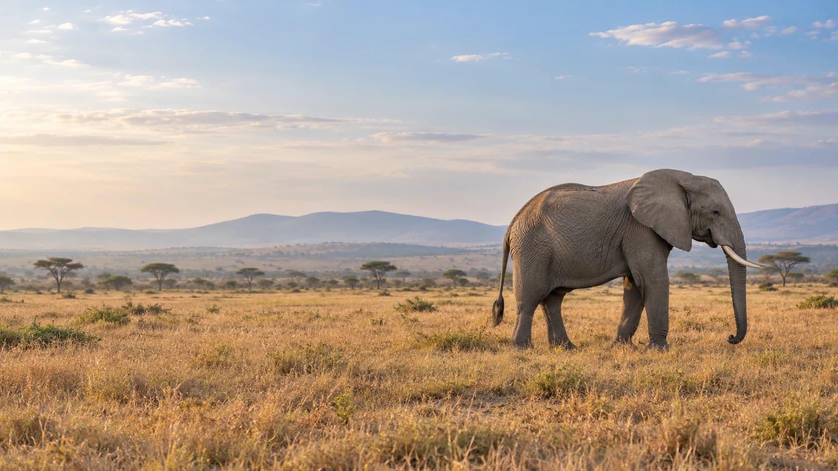
The Maasai Mara supports large predators and seasonal wildebeest migration. Herd movements follow rainfall and grazing, so river crossings have no guaranteed date. Amboseli combines elephant habitats and wetlands with views towards Tanzania’s Kilimanjaro when skies clear. Tsavo’s two national parks add extensive dry landscapes, while Samburu supports Grevy’s zebras and reticulated giraffes. Follow park rules and keep wildlife undisturbed.
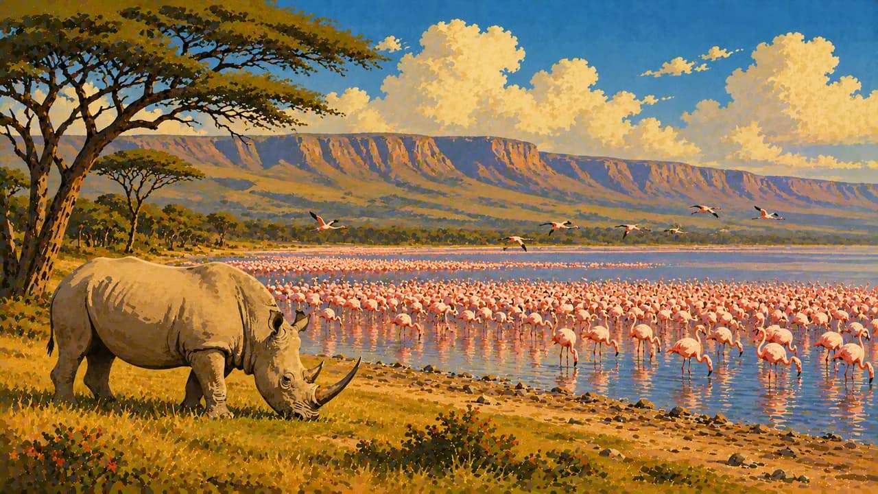
Lake Nakuru belongs to the natural UNESCO-listed Kenya Lake System. Flamingo numbers vary with water and feeding conditions. Mount Kenya offers montane forests and high-altitude routes requiring preparation and acclimatisation. Farther west, Kisumu’s lakeshore livelihoods and Kakamega’s forest broaden the picture beyond safari plains.
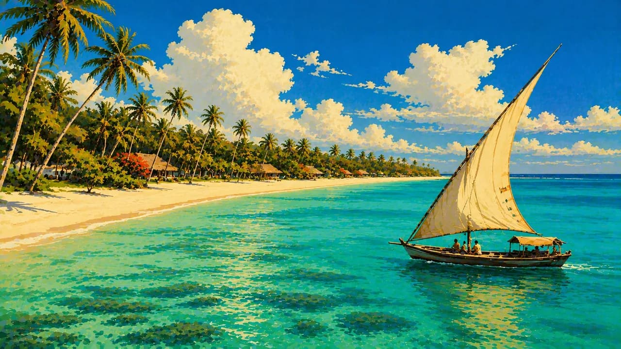
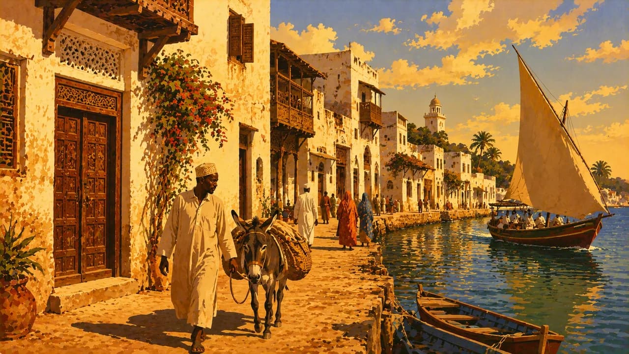
Diani Beach and Watamu introduce coastal beaches and marine habitats, subject to tides, currents and conservation rules. Mombasa reflects Indian Ocean trading connections. Lamu’s UNESCO-listed old town preserves living Swahili traditions, coral-stone architecture and carved doors. Respect religious customs and residents’ privacy.
Community-led encounters can introduce Maasai, Samburu and other traditions through local participation and consent. Food ranges from ugali and vegetables to nyama choma, coastal pilau and fish. Rain commonly peaks from March to May and October to December, with important regional differences and additional western rainfall. Flooding can disrupt roads, while mountain nights remain cold.
AI edited
- 47
- Counties The 47 counties are constitutional units of devolved government with their own administrations, implemented after the 2013 election. Nairobi is itself a county. The former eight provinces do not match today’s counties.
- ≈ 57.53 million
- Population Rounded UN projection for 2025, medium-fertility variant. UNData reports 57.532 million people. This is neither a census nor a figure for 2026. Kenya’s own national projections are not combined with it.
- 591,958 km²
- Area Surface area according to UNData, referenced to 2023. The figure is not equivalent to land area alone. Alternative area definitions and older datasets are not combined with this series.
- Kiswahili · English
- Languages The constitution identifies Kiswahili as the national language. Kiswahili and English are official languages. The tile uses the country layout’s general language label. Usage and proficiency vary by region and individual.
- Kikuyu, Luo, Kamba
- Other languages Examples among many local languages and language communities. Others include Kalenjin languages, Luhya languages, Maa, Somali and further languages. This selection is neither a ranking nor a complete list.
- Kenyan shilling
- Currency International currency code KES, commonly abbreviated KSh. Issued by the Central Bank of Kenya. Mobile payments are widespread but require suitable accounts and access. Confirm cash needs and payment options before visiting remote areas.
- G
- Socket type Type G sockets are usual, with 240 V and 50 Hz. Check plug shape, earthing and your device’s voltage range. A travel adaptor changes neither voltage nor frequency.
- Nairobi
- Capital The capital lies in the central highlands and is also its own county. Museums, markets and contemporary culture complement the nearby national park. Traffic congestion can be substantial.
- Left-hand traffic
- Driving side Traffic drives on the left. Traffic and road conditions can be demanding. Away from main roads, suitable vehicles and drivers with local knowledge are particularly important.
- UTC+3
- Time zone East Africa Time applies year round without seasonal clock changes. The clock shows Nairobi’s local time using the IANA zone Africa/Nairobi. Changes in the time difference with Europe result from European summer time.
- 5
- UNESCO cultural sites Five UNESCO cultural properties are inscribed, Lamu Old Town, Fort Jesus in Mombasa, the Mijikenda Kaya Forests, Thimlich Ohinga and Gedi. The three natural properties, tentative lists and intangible heritage are excluded.
Kenya on the map

Map data: geoBoundaries (CC BY 4.0), © OpenStreetMap contributors (ODbL), Natural Earth
Climate and best time to travel
The months describe climatic conditions rather than confirming safe or unrestricted access. Check current regional travel advice before choosing routes. For Lamu, distinguish the mainland warning from advice against non-essential travel to Lamu and Manda islands. Particular caution applies around Samburu. Across much of the country, the long rains fall from March to May and the short rains from October to December. Their onset, duration and intensity vary. Western areas and Lake Victoria can receive additional rain between June and August. January and February and June to September often provide comparatively dry conditions in many safari and highland areas. The Mara card focuses on July to October, but herd movements and river crossings follow no fixed timetable. Favourable months do not guarantee sightings. Amboseli, Tsavo and Samburu can be hot by day, while highland nights remain cool. January to March is often a favourable coastal window, though March can already transition towards the rainy season. Wind, tides, currents and visibility also determine boat trips and diving. Confirm current conditions and conservation rules with suitable operators. Rain can make roads impassable and trigger flash floods. Avoid flooded roads and plan reserves for remote routes. Mountain trips need their own weather checks and acclimatisation. Check current health, entry and insurance requirements separately.