Eritrea
ኤርትራ · إريتريا
Modernist towns, green highlands and the Red Sea coast tell stories of diverse cultures and history.
Worth coming back!
Wanderlama keeps growing with new destinations, helpful information and exciting features. Check back soon and discover what is new!
Travel to Eritrea
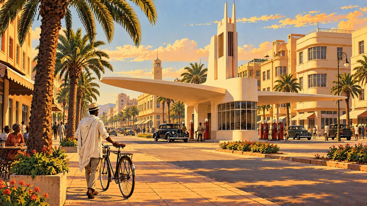
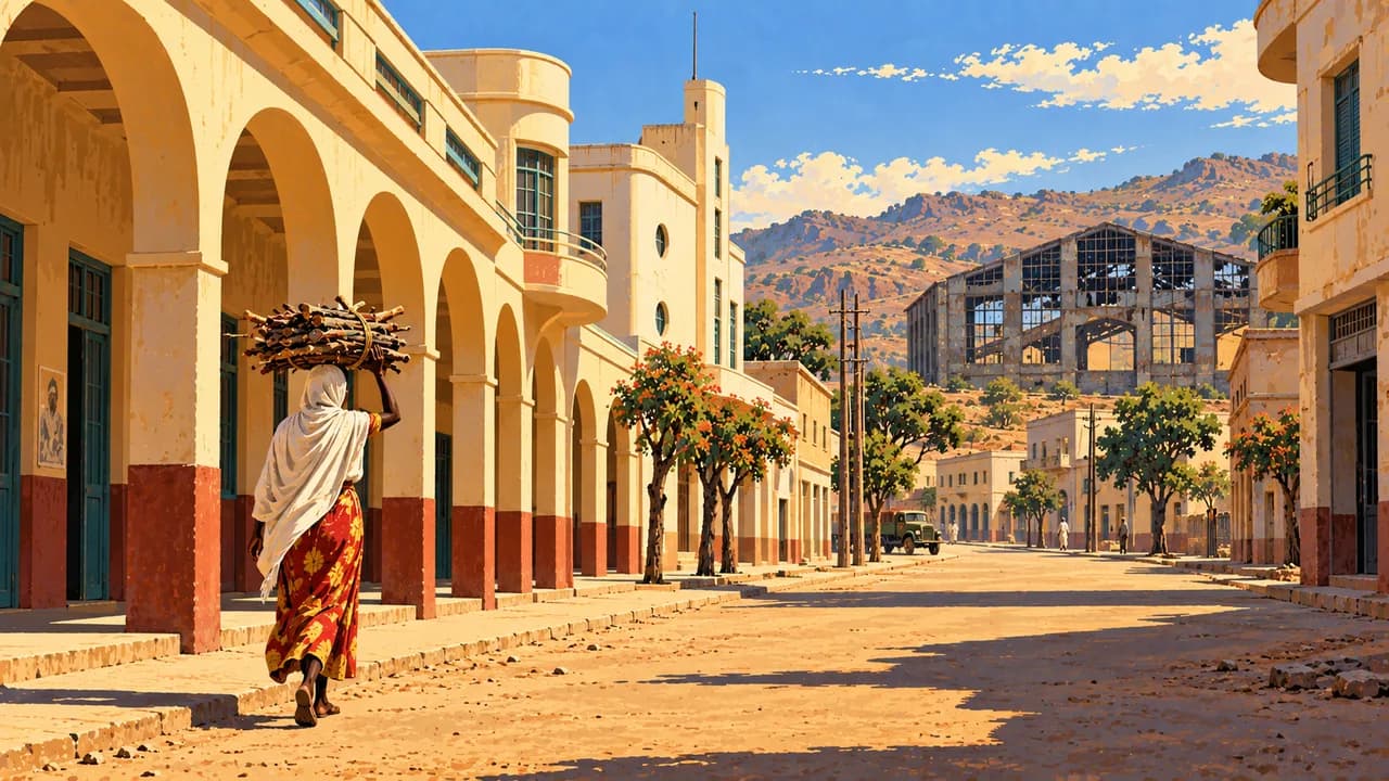
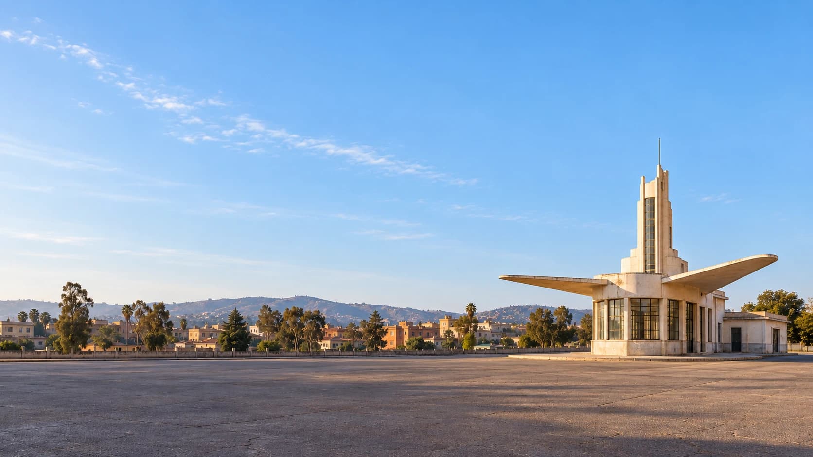
Eritrea stretches from cool highlands to arid plains and the Red Sea coast. Asmara combines cafés, cinemas and modernist architecture, including the Fiat Tagliero building. Its UNESCO-listed urban heritage reflects Italian colonial planning, local craftsmanship and a history of segregation, alongside the city’s later Eritrean identity.
This portrait is not a current touring recommendation. Germany’s Foreign Office warns against travel to all border regions and advises against travel to every other part of Eritrea. Journeys outside greater Asmara require travel permits, with access subject to approval and controls. Check current official advice before essential travel rather than treating these places as an unrestricted circuit.
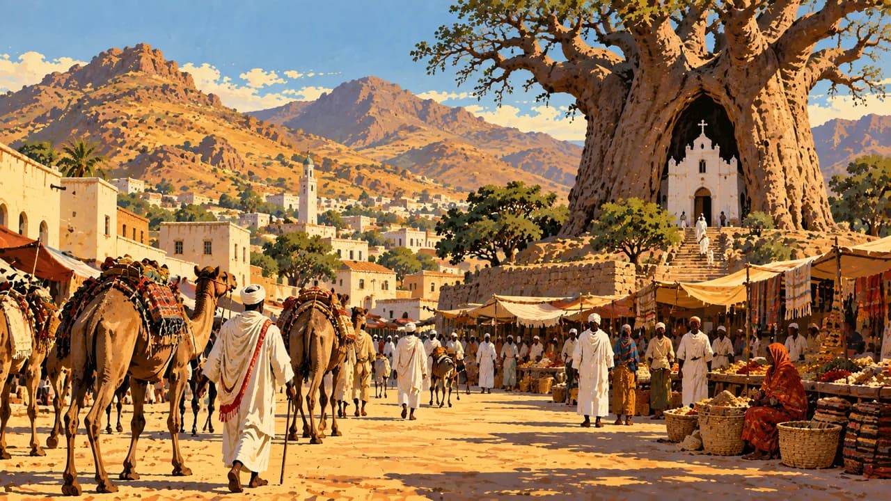
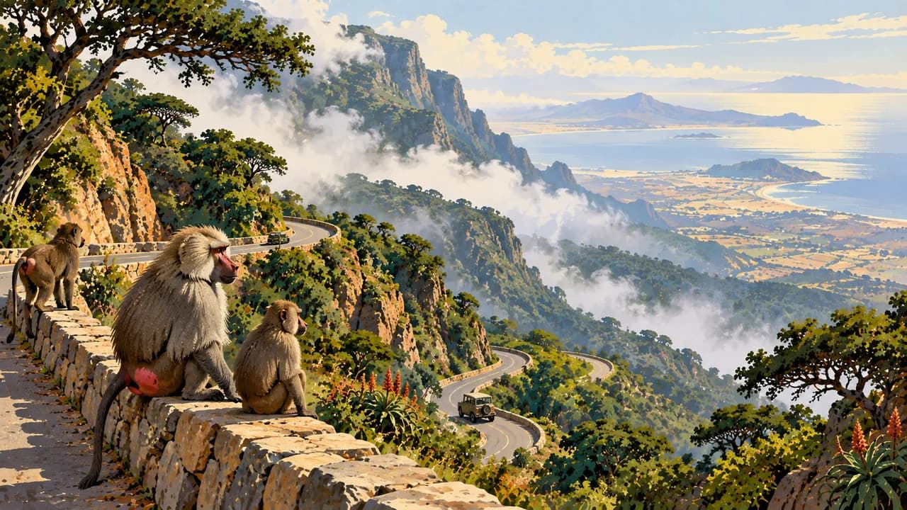
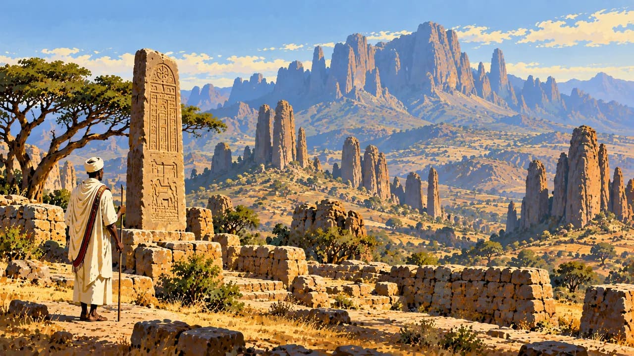
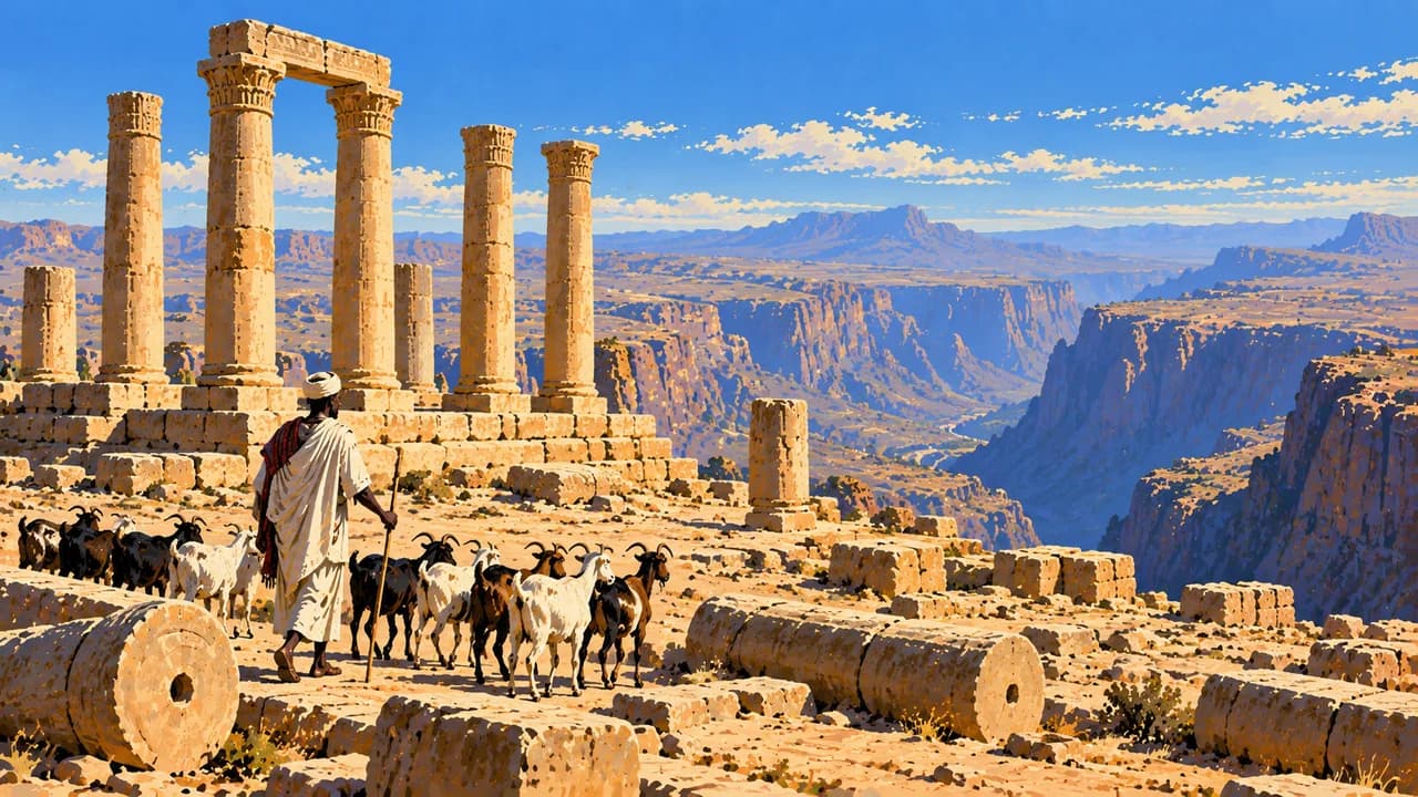
Keren’s trading history, religious sites and surrounding hills contrast with the highland town of Dekemhare. Filfil’s green escarpment forests shelter varied birdlife. Farther south, Senafe and nearby Metera preserve archaeological traces, while Qohaito’s plateau combines ancient remains, rock art and dramatic escarpment scenery. Border restrictions are particularly relevant to southern journeys.
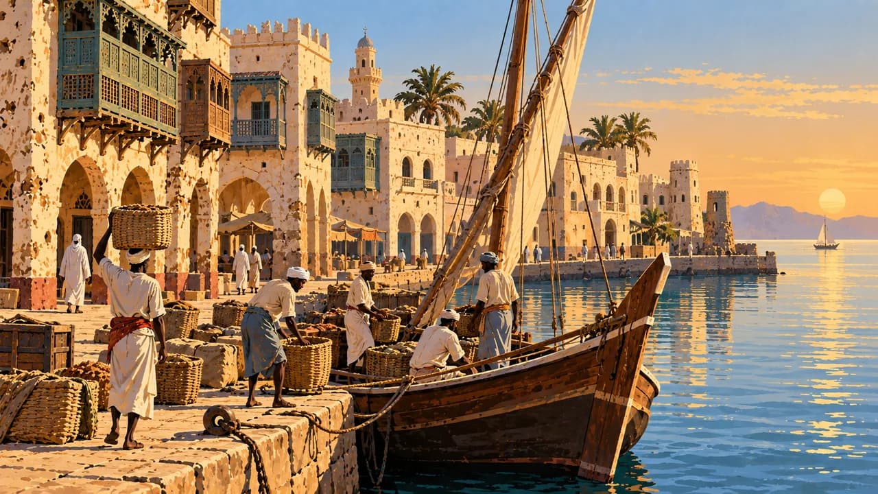
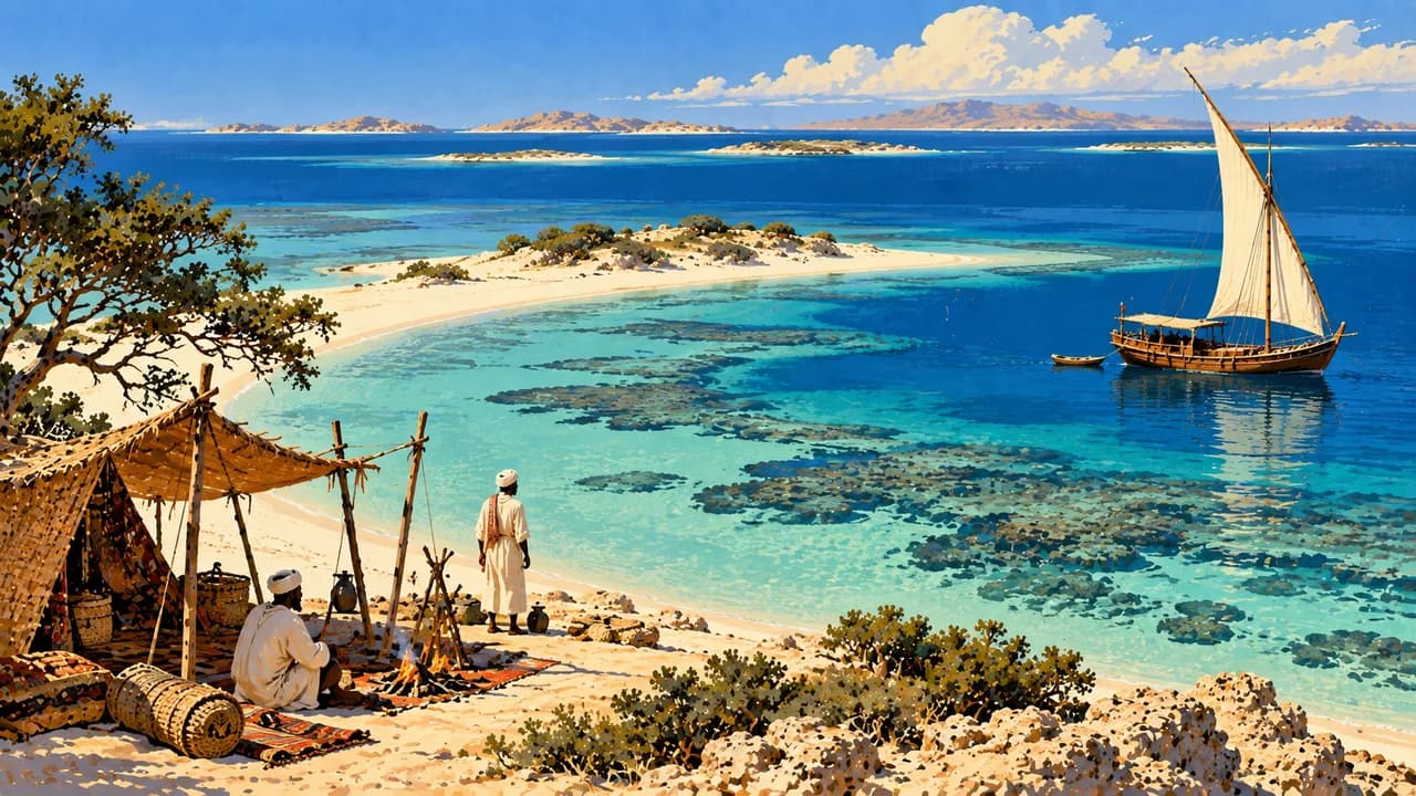
On the coast, Massawa’s coral-stone buildings and arcades reflect Ottoman, Egyptian and Italian layers of history. The Dahlak Archipelago adds islands, coral habitats and maritime heritage. Boat trips and diving require suitable arrangements and current security checks. Neither access, intact reefs nor wildlife encounters should be assumed.
Regional languages, Christian and Muslim traditions, music and crafts broaden the picture beyond monumental buildings. Injera with vegetable or meat stews and shared coffee ceremonies introduce everyday food culture. Colonial buildings and railway remains should also be understood through local experiences of occupation, conflict and independence.
Highland nights can be cool, while the coastal lowlands are intensely hot. Summer rains can disrupt highland roads. The historic Asmara–Massawa railway is currently out of operation according to official travel advice. Essential journeys need realistic planning for limited communications, water, electricity and medical support, with routes and permissions confirmed beforehand.
AI edited
- 6
- Regions The six administrative regions, or zobas, are Maekel, Debub, Anseba, Gash-Barka, Northern Red Sea and Southern Red Sea. This structure dates from 1996. Older provincial maps show a different arrangement.
- ≈ 3.61 million
- Population Rounded UN projection for 2025, medium-fertility variant. UNData reports about 3.607 million people. This is a modelled estimate, not a census or 2026 count. Other estimates are kept separate.
- 121,144 km²
- Area Surface area according to UNData, referenced to 2023. The country includes highlands, western lowlands, coastal plains and Red Sea islands. Other area figures and definitions are not mixed with this dataset.
- Tigrinya · Tigre
- Languages Two important languages associated with different language communities. Tigrinya and Tigre are distinct languages. The tile gives examples from a multilingual country rather than an exhaustive list of official or working languages.
- Arabic, Saho, English
- Other languages Further examples of linguistic diversity. Arabic and Saho have significance in different communities and settings. English is used particularly in post-primary education. Other languages include Bilen, Afar, Kunama and Nara.
- Nakfa
- Currency The Eritrean nakfa has the currency code ERN. Nfa is the abbreviation set by the 1997 currency proclamation. Use official exchange facilities and observe the currency import and export rules.
- C · L
- Socket types Common socket forms are C and L, with 230 V and 50 Hz. Type L has several variants. Confirm earthing and device suitability. Adaptors convert neither voltage nor frequency.
- Asmara
- Capital The capital lies in the central highlands. Its historic urban area is World Heritage as a modernist African city, an ensemble rather than single landmarks. Journeys outside greater Asmara require special permits.
- Right-hand traffic
- Driving side Traffic drives on the right. Winding mountain roads, missing barriers, poor lighting and animals can complicate journeys. Confirm travel permits, permitted transport and current road conditions beforehand. Avoid driving after dark.
- UTC+3
- Time zone East Africa Time applies year round without seasonal clock changes. The clock shows Asmara’s local time using the IANA zone Africa/Asmara. Changes in the time difference with Europe result from European summer time.
- 1
- UNESCO cultural site Asmara was inscribed in 2017 as a modernist African city. The listing covers the historic urban area. Individual buildings are not additional properties. Tentative lists and intangible heritage are excluded.
Eritrea on the map

Map data: geoBoundaries (CC BY 4.0), © OpenStreetMap contributors (ODbL), Natural Earth
Climate and best time to travel
The months describe climatic conditions rather than a current travel recommendation. Germany’s Foreign Office warns against travel to all border regions and advises against travel to every other part of Eritrea. Before essential journeys, check current official advice, routes and permits. Favourable climatic months do not confirm access. The central highlands around Asmara and Dekemhare and the southern plateaus are often drier after the main summer rains. October to February provides a broad window. Nights can be cold, particularly in winter, and altitude and sunshine require preparation. Keren is lower and warmer, so its card focuses on November to February. The eastern escarpment around Filfil follows a different rainfall pattern and can receive rain from November to March. Its cooler months therefore do not promise dry conditions, and mist and wet paths remain possible. Massawa and the Dahlak Archipelago are warm even in winter, while coastal summers are extremely hot. November to February limits heat more than the likelihood of rain. Wind, sea conditions and visibility also shape boat trips and diving. Permits and suitable operators are additionally necessary. Do not touch wildlife or coral. Rain can interrupt roads, and landmines rule out independent detours from approved routes. Official travel advice currently describes the historic railway as out of operation. Limited communications, water, electricity and medical provision require realistic reserves.