Namibia
Sweeping dunes, remarkable wildlife and quiet coasts among savannas, rocky landscapes and green river regions.
Worth coming back!
Wanderlama keeps growing with new destinations, helpful information and exciting features. Check back soon and discover what is new!
Travel to Namibia
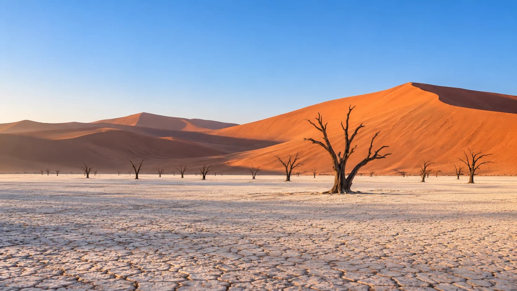
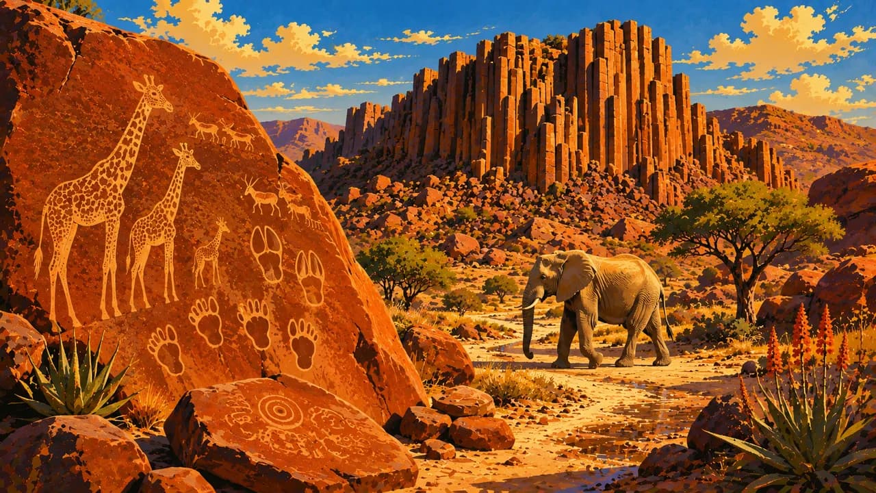
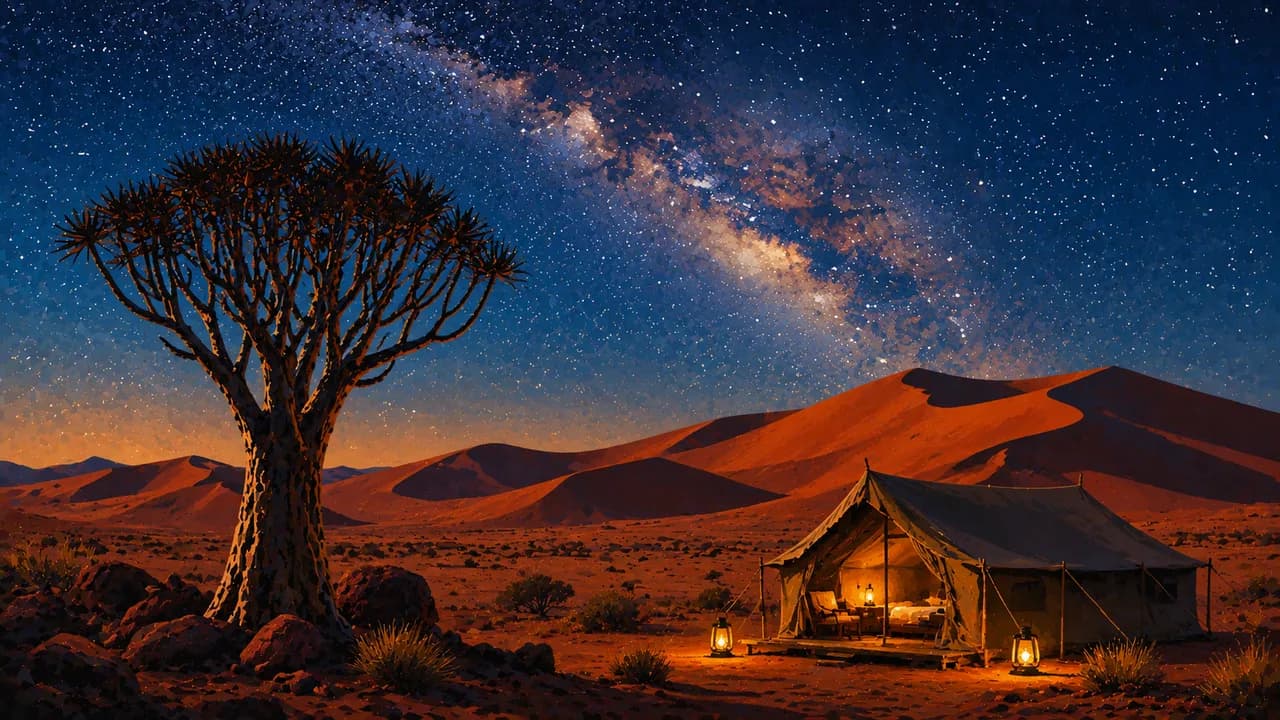
Namibia is a vast, sparsely populated country on southern Africa's Atlantic coast, where deserts contrast with savannas and river landscapes. Red dunes surround Sossusvlei and the pale clay pan of Deadvlei. Etosha National Park offers wildlife watching around waterholes, while Damaraland combines desert-adapted elephants with the rock engravings of Twyfelfontein.
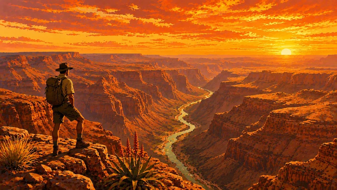
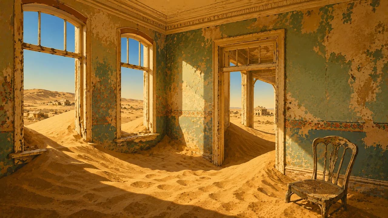
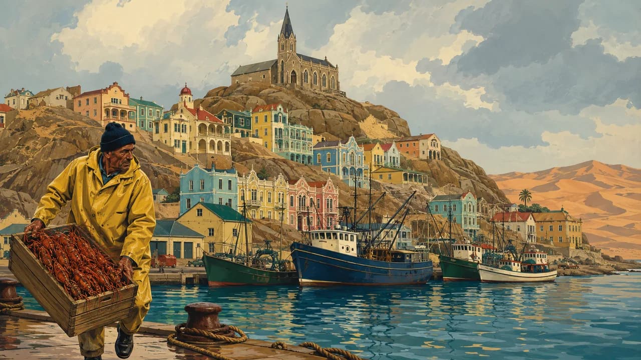
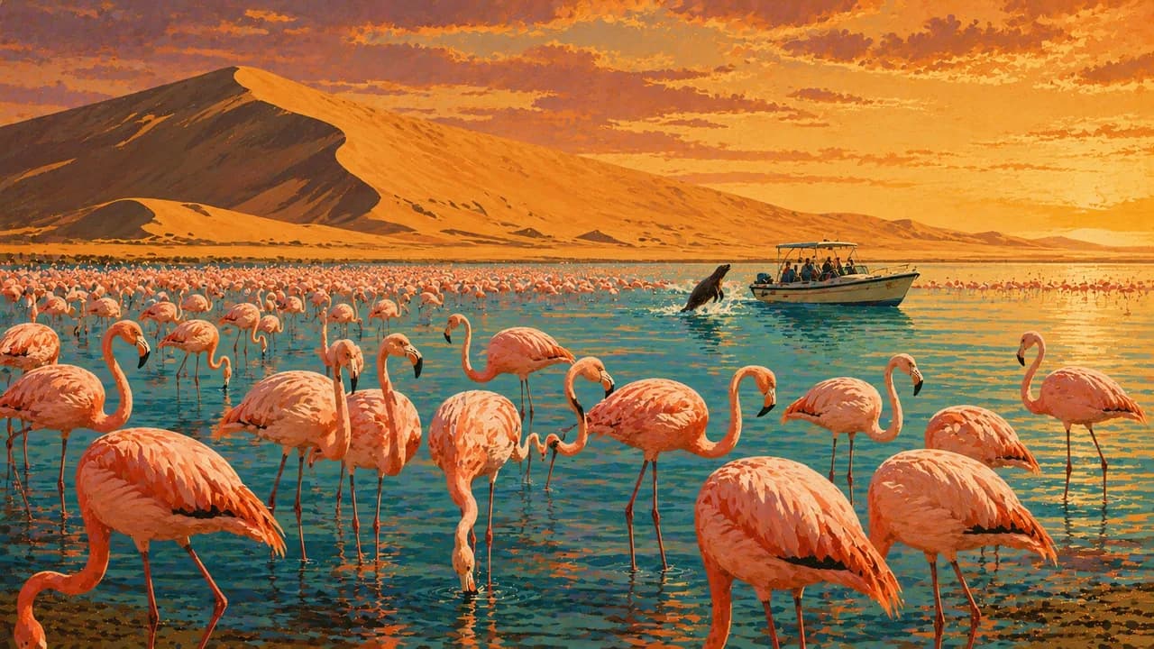
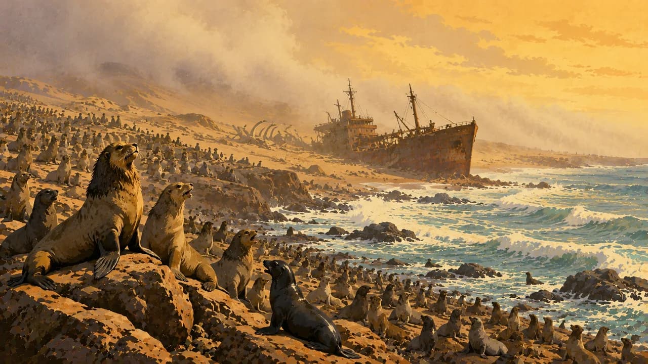
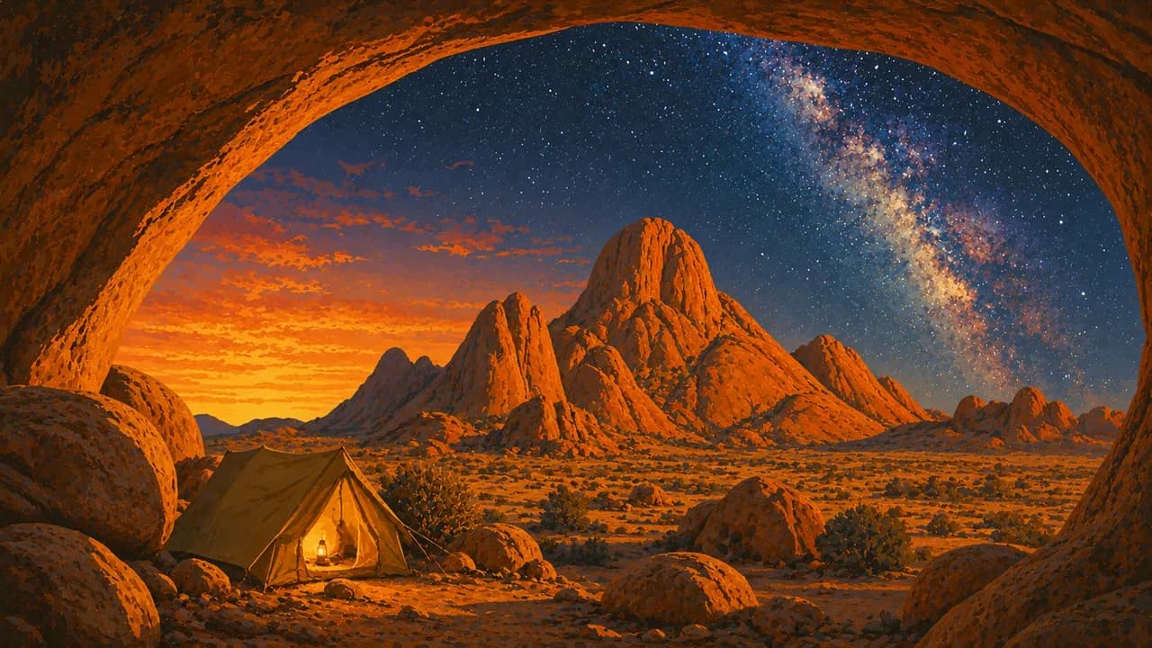
The Skeleton Coast is shaped by fog, shipwrecks and seal colonies. Swakopmund shows traces of German colonial history, and nearby Walvis Bay offers lagoon birdwatching. In the south, Fish River Canyon, Lüderitz and the abandoned mining town of Kolmanskop reveal different landscapes and histories. Spitzkoppe, Waterberg and the Kalahari add rock formations, walking trails and savanna scenery. In the northeast, Bwabwata National Park and the Zambezi Region introduce rivers, wetlands and birdlife.
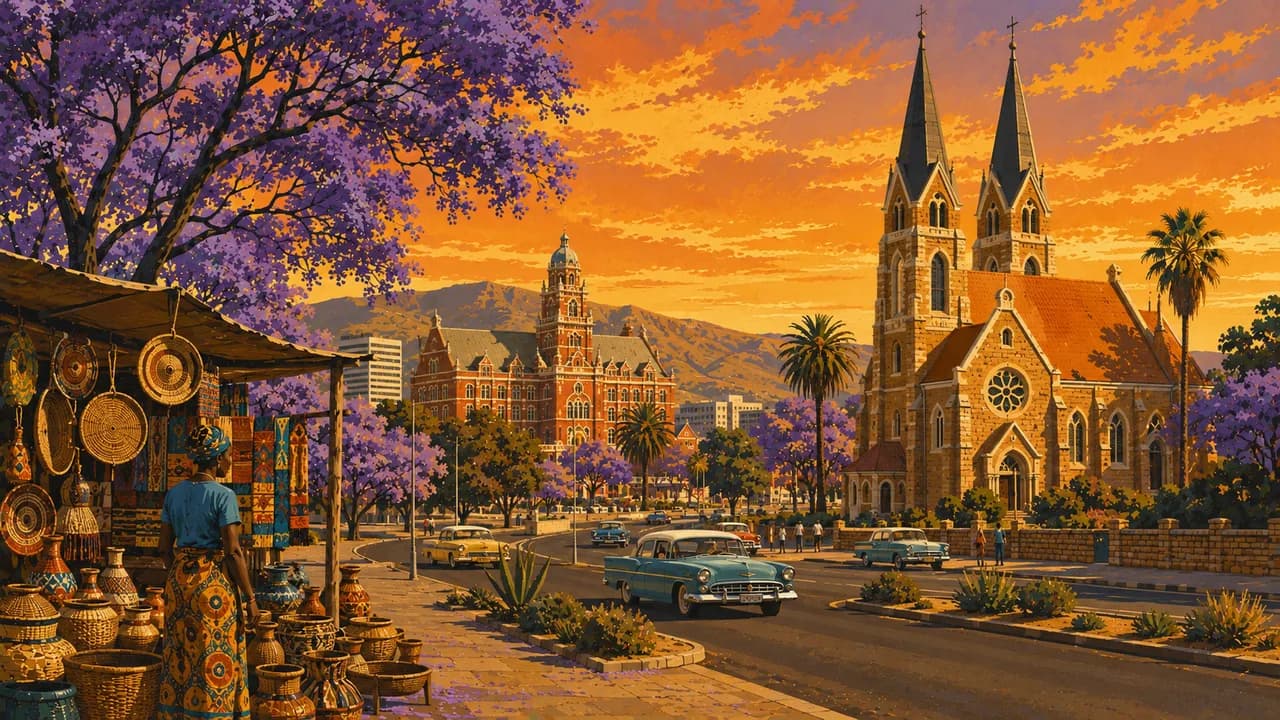
Windhoek's markets, crafts and regional food offer insights into the country's diverse cultures and contemporary life. Self-drive journeys require enough time for long distances, gravel roads and remote stretches. Community-led visits can introduce local crafts, languages and ways of life without presenting the country's people as part of a wildlife spectacle. Colonial-era buildings and museums also need to be understood alongside the histories of dispossession and resistance.
Nature experiences range from dune walks and birdwatching to guided activities in protected areas, with sightings dependent on conditions. Coastal fog, desert heat and colder inland nights call for different preparation within the same journey. Fuel, accommodation and communications can be widely spaced. Well-planned regional stages, local guidance and respect for conservation rules matter more than covering as many kilometres as possible.
AI edited
- 14
- Regions
- 3.0 million
- Population
- 825,615 km²
- Area
- English
- Language
- Afrikaans & German
- Other languages Alongside English, languages include Oshiwambo, Khoekhoegowab, Otjiherero, Afrikaans and German. Usage varies regionally.
- Namibia dollar (NAD)
- Currency
- South African rand (ZAR)
- Accepted currency The South African rand is legal tender in Namibia alongside the Namibia dollar. The currencies are pegged at 1:1. The Namibia dollar, however, is not legal tender in South Africa.
- D · M
- Socket types
- Windhoek
- Capital
- Left-hand traffic
- Driving side
- UTC+2
- Time zone Namibia uses UTC+2 nationwide without seasonal clock changes. The former winter-time arrangement ended in 2017.
- 1
- UNESCO cultural site
Namibia on the map

Map data: geoBoundaries (CC BY 4.0), © OpenStreetMap contributors (ODbL), Natural Earth
Climate and best time to travel
Namibia's travel seasons depend on landscapes and activities. The drier months from May to October often suit wildlife watching around waterholes in Etosha National Park. May to September are frequently more comfortable for dunes and rocky landscapes than the hot southern summer, although winter nights can be very cold. Fog, wind and cool temperatures remain possible on the Atlantic coast even when it is warm inland. The rainy season, roughly November to April, brings greener landscapes and good birdwatching conditions, especially in the northeast, but can affect road and track access. The multi-day Fish River Canyon trail normally has a season from early May to mid-September and may remain closed depending on water levels and conditions. These months are a guide. Check weather, road and trail conditions and local access rules before excursions.
Destinations in Namibia
 AI generated
 AI generated
 AI generated
 AI generated
 AI generated
 AI generated
 AI generated
 AI generated
 AI generated
 AI generated
 AI generated
 AI generated