Lesotho
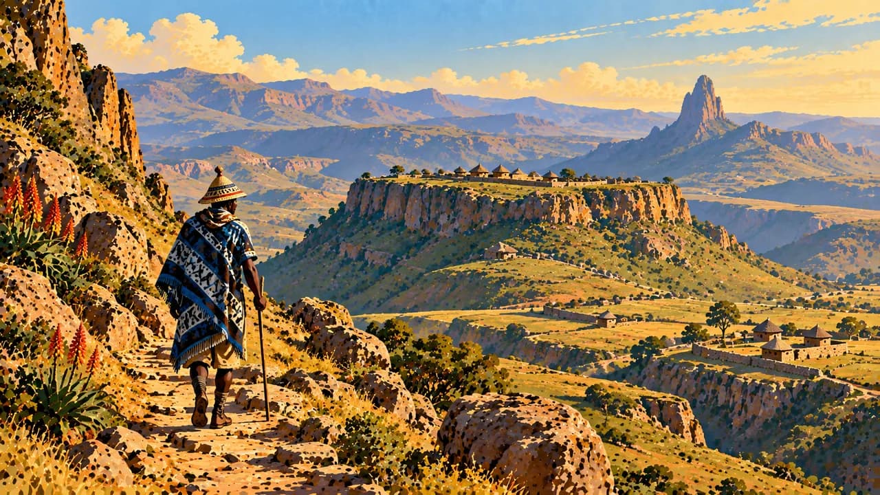
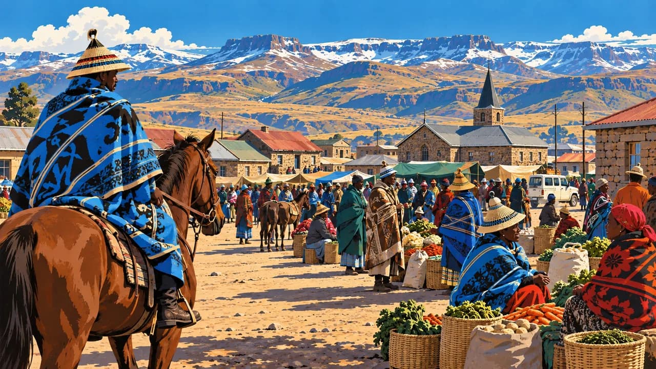
Highland paths, living Basotho traditions and wide mountain landscapes reveal a kingdom shaped by altitude.
Worth coming back!
Wanderlama keeps growing with new destinations, helpful information and exciting features. Check back soon and discover what is new!
Travel to Lesotho
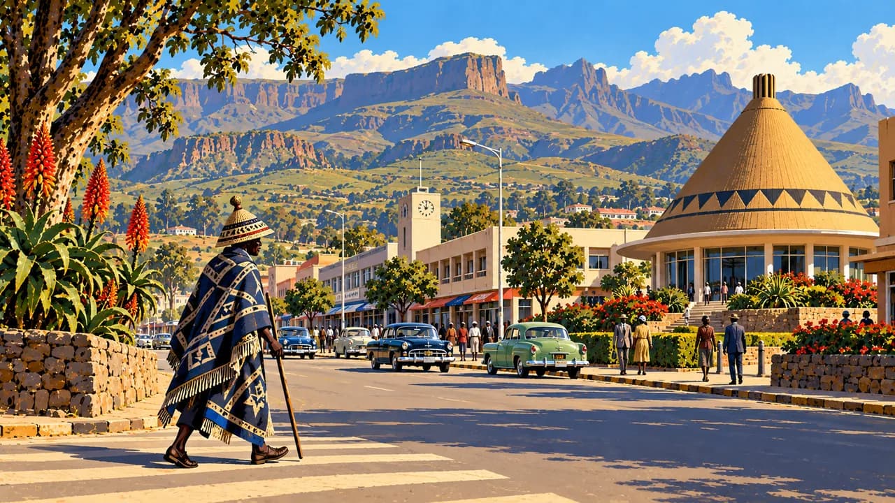
Lesotho is a mountain kingdom entirely surrounded by South Africa, lying entirely above a thousand metres. Maseru, the capital beside the Caledon River, combines administration, markets and contemporary urban life. Sesotho, Basotho blankets and the mokorotlo hat connect language, identity and craftsmanship across diverse communities.
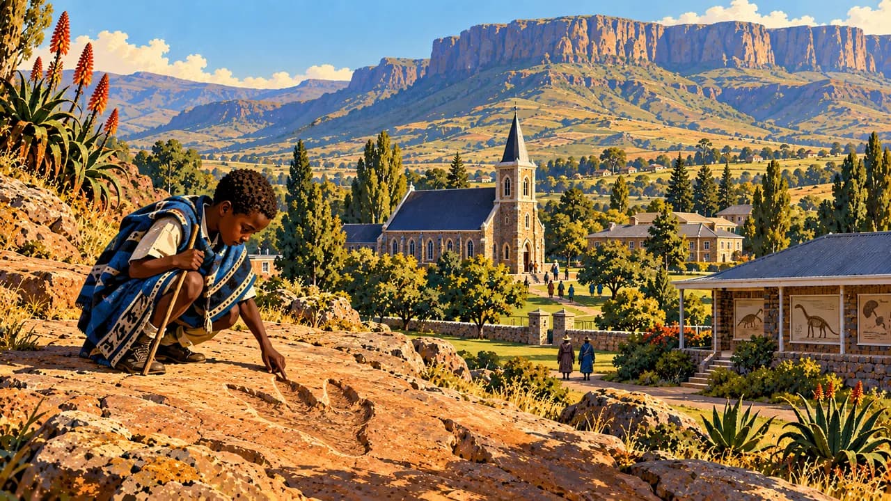
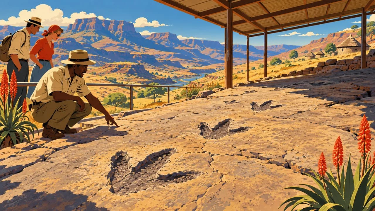
Thaba-Bosiu’s sandstone plateau recalls King Moshoeshoe I and the formation of the Basotho nation. Morija adds museum collections, archives, mission history and contemporary arts. Farther south, Quthing preserves dinosaur footprints, while nearby Masitise introduces a historic cave house.
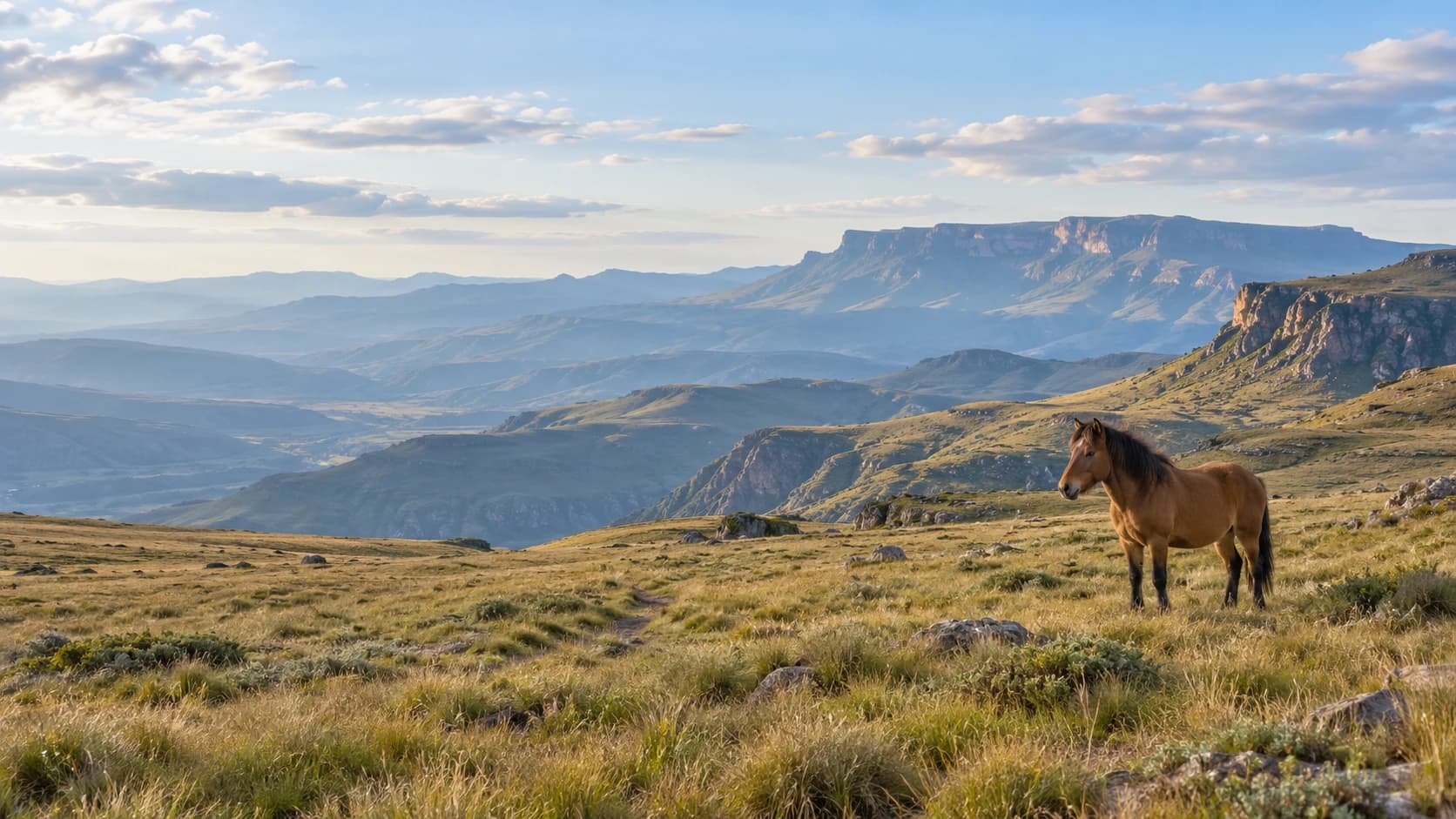
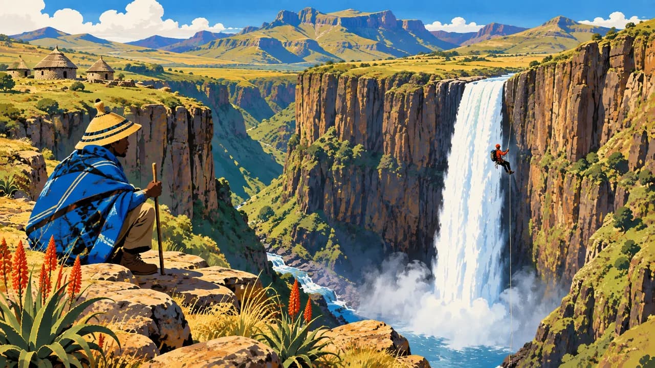
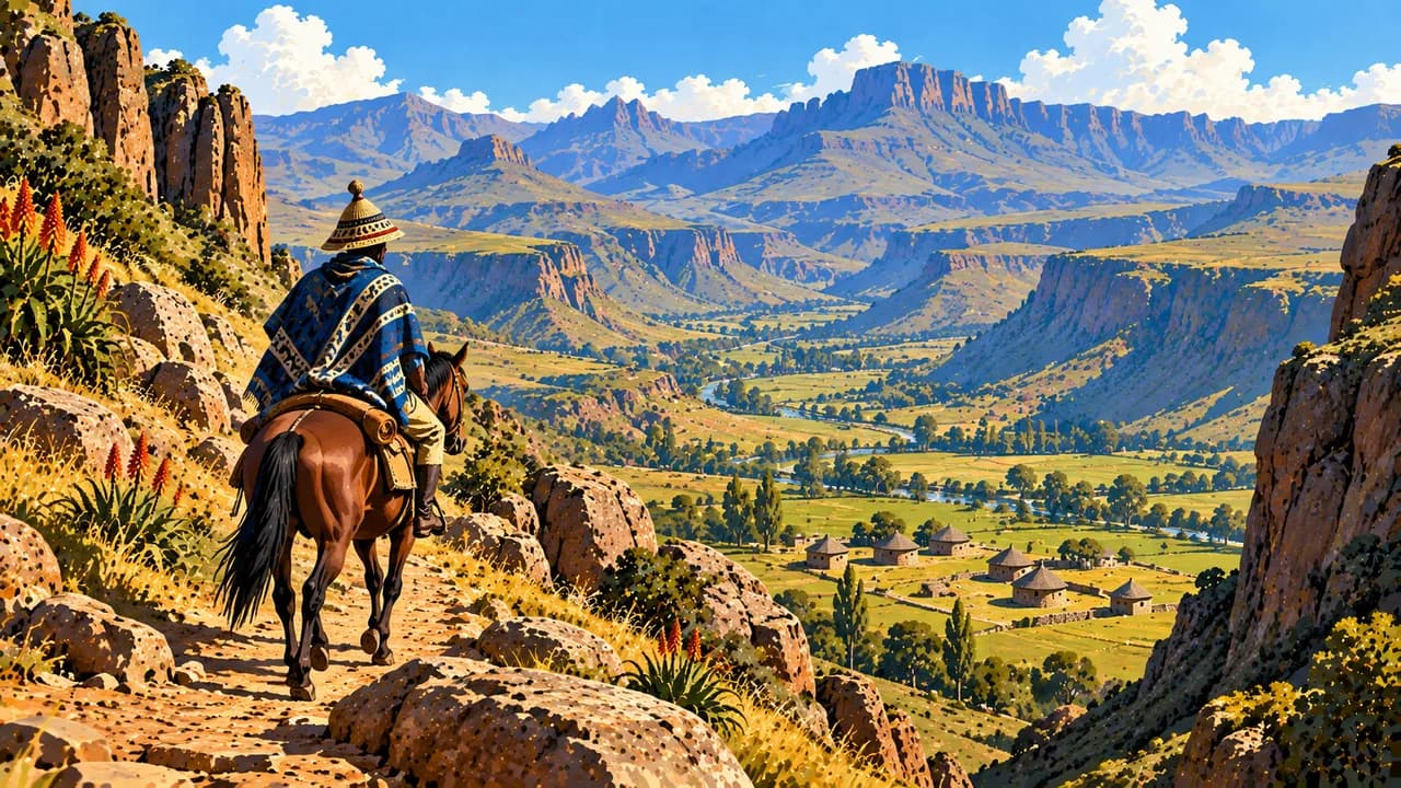
Malealea offers access to valley walks and guided pony treks. Horses remain part of everyday highland transport, rather than simply a visitor activity. Around Semonkong, Maletsunyane Falls plunges into a deep gorge. Viewpoints, walking routes and specialist adventure activities require suitable conditions, preparation and qualified local guidance. Respect residents’ consent around photographs and community visits.
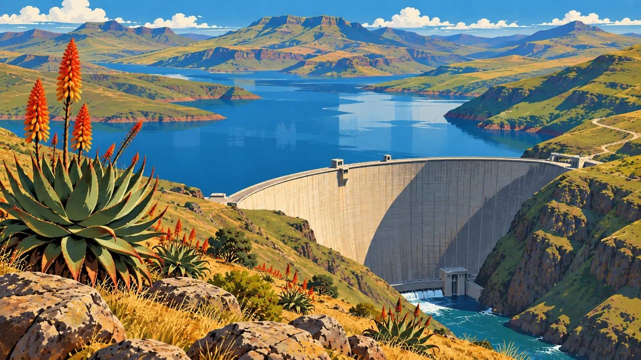
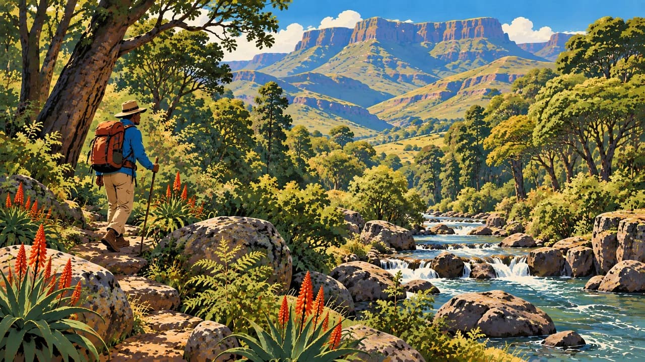
Katse Dam reveals the scale of the Lesotho Highlands Water Project and its water-transfer connection with South Africa. Its botanical garden introduces indigenous plants and conservation. Hlotse, also known as Leribe, adds markets and weaving traditions. Ts’ehlanyane National Park protects river valleys, indigenous woodland and mountain vegetation, with trails shaped by altitude and weather.
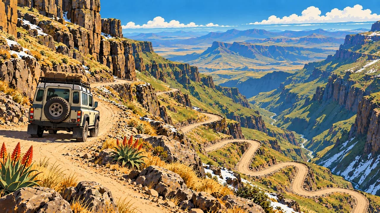
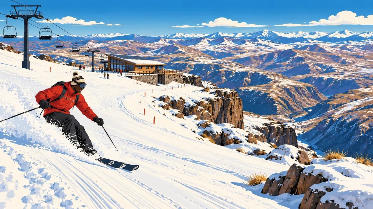
Mokhotlong introduces the northeastern highlands and the Senqu River’s headwater landscapes. The Sani Pass is a steep international border route requiring a four-wheel-drive vehicle and current checks on weather, road openings and entry documents. Winter sports at Afriski depend on snow conditions and resort operations.
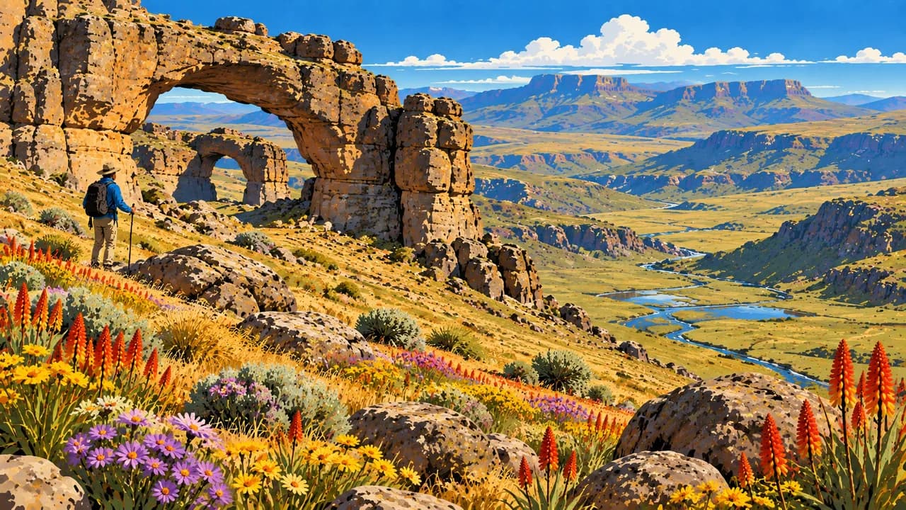
Sehlabathebe National Park forms Lesotho’s part of the transboundary Maloti-Drakensberg mixed UNESCO World Heritage property. Sandstone formations, highland wetlands and San rock art connect natural and cultural heritage. Protect fragile vegetation and rock paintings. Regional meals include papa maize porridge and moroho greens.
Mountain weather changes quickly. Summer thunderstorms, winter snow and ice can interrupt journeys, and nights may be cold. Check official travel and health advice, avoid night driving and prepare for limited medical assistance outside major centres. Violent crime also affects visitors, particularly in Maseru.
AI edited
- 10
- Districts Lesotho has ten administrative districts. These are distinct from community councils, urban councils and electoral constituencies. Maseru is both the capital and the name of a district.
- ≈ 2.36 million
- Population Rounded UN population projection for 2025. UNData reports 2.363 million people under the medium-fertility assumption. This is not a new census or a count for 2026. National estimates may differ.
- 30,355 km²
- Area UNData surface area, with reference year 2023. Lesotho is an independent landlocked state entirely surrounded by South Africa. The figure covers the whole national territory, including inland water.
- Sesotho & English
- Languages Sesotho and English are official languages. Sesotho is central to everyday communication and Basotho cultural life. English is used in administration, education and tourism, but fluency should not be assumed everywhere.
- Regional community languages
- Other languages Other southern African languages are spoken by some communities and through cross-border family and work connections. This tile does not give them the same legal status as the two official languages or imply uniform language use.
- Loti / South African rand
- Currency The loti, plural maloti, has code LSL and signs L or M. One loti equals 100 lisente. It is pegged one-to-one to the South African rand, which is also legal tender in Lesotho. Do not assume maloti will be accepted in South Africa. Confirm card and cash arrangements outside towns.
- M
- Socket type Type M sockets are used, generally at 220 V and 50 Hz. Type M has large round pins and is not interchangeable with the smaller type D. Confirm the connection with the accommodation. A plug adapter does not convert voltage.
- Maseru
- Capital Maseru is the capital and a centre of administration, commerce and contemporary culture near the South African border. The local clock uses Maseru time. Mountain journeys require different preparation from a city visit.
- Left-hand traffic
- Driving side Vehicles drive on the left. Livestock, pedestrians, steep gradients and rapidly changing road conditions require care. Avoid driving after dark. Mountain routes may require a suitable four-wheel-drive vehicle and local knowledge. Border formalities also apply at Sani Pass.
- UTC+2
- Time zone South Africa Standard Time applies throughout the year without daylight saving. The clock uses Africa/Maseru. Seasonal changes in the difference from Europe come from European clock changes.
Lesotho on the map

Map data: geoBoundaries (CC BY 4.0), © OpenStreetMap contributors (ODbL), Natural Earth
Climate and best time to travel
The months are broad climatic comparison windows, not guarantees of access or activities. Altitude strongly affects temperatures. March to May and September to November often offer useful transition periods for cultural visits and walking, but nights can be cold and November can already bring summer thunderstorms. Rain falls mainly in the warmer months, broadly October to April, with marked local variation. Around Semonkong, summer rain can strengthen the waterfall, while high flows, slippery ground and storms can restrict excursions. Winter is generally drier, with frost, snow and ice possible in the mountains. June to August is a climatic winter-sports window for Afriski only when snow, weather and resort operations allow. It is not a promise of skiable conditions. Katse activities depend on local arrangements and water conditions. For Ts’ehlanyane, Mokhotlong, Sani Pass and Sehlabathebe, plan for sudden weather changes, route closures and limited services. Sani is an international border route, so confirm documents, opening conditions and vehicle requirements separately. Use local guides for remote walks and cultural sites, respect rock-art protection and ask before photographing people. Check current official entry, health and security advice. Avoid night driving and prepare remote trips with adequate supplies and communication. Medical help is limited away from major centres.
Destinations in Lesotho
 AI generated
 AI generated
 AI generated
 AI generated
 AI generated
 AI generated
 AI generated
 AI generated
 AI generated
 AI generated
 AI generated
 AI generated