Botswana
Water-rich delta landscapes, open salt pans and living traditions connect natural diversity with cultural heritage.
Worth coming back!
Wanderlama keeps growing with new destinations, helpful information and exciting features. Check back soon and discover what is new!
Travel to Botswana
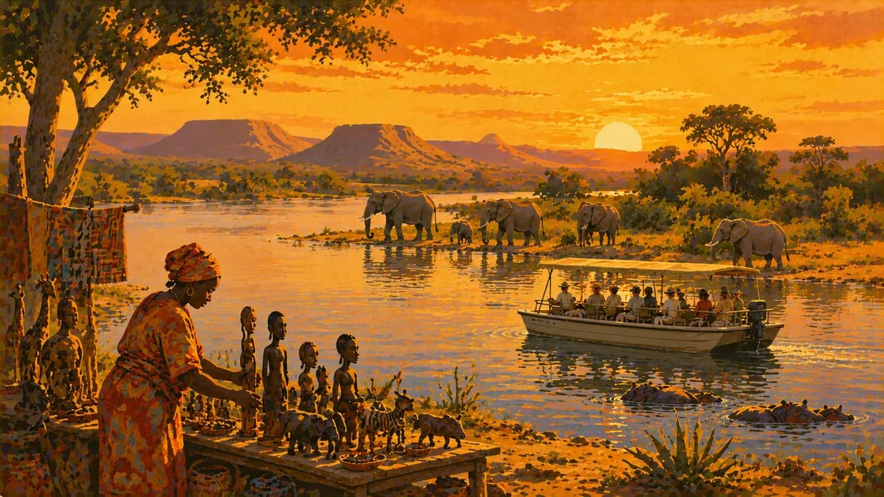
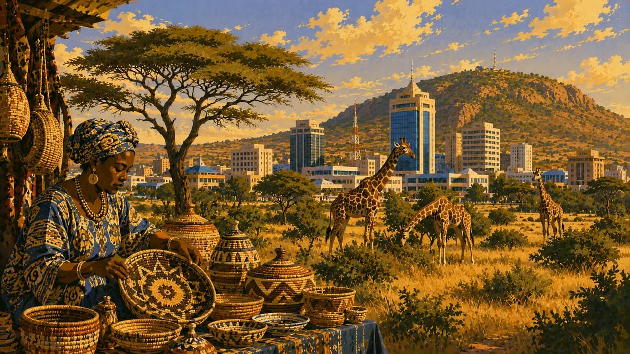
Botswana is a landlocked country in southern Africa where Kalahari sand landscapes contrast with northern rivers and wetlands. Gaborone, the capital, adds museums, monuments, markets and contemporary urban life. Setswana connects many communities, alongside English and other languages. Cattle keeping, basket weaving, music and local traditions broaden the picture beyond safari lodges.
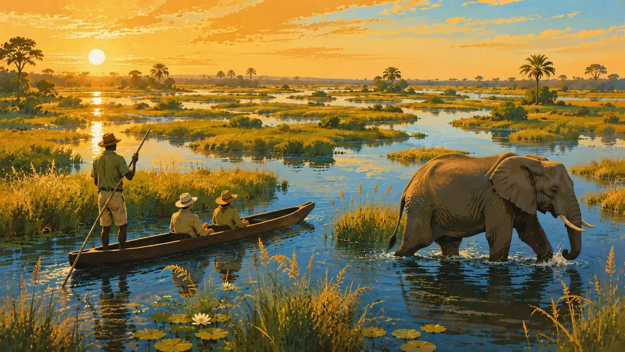
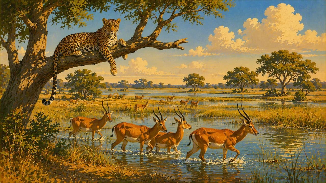
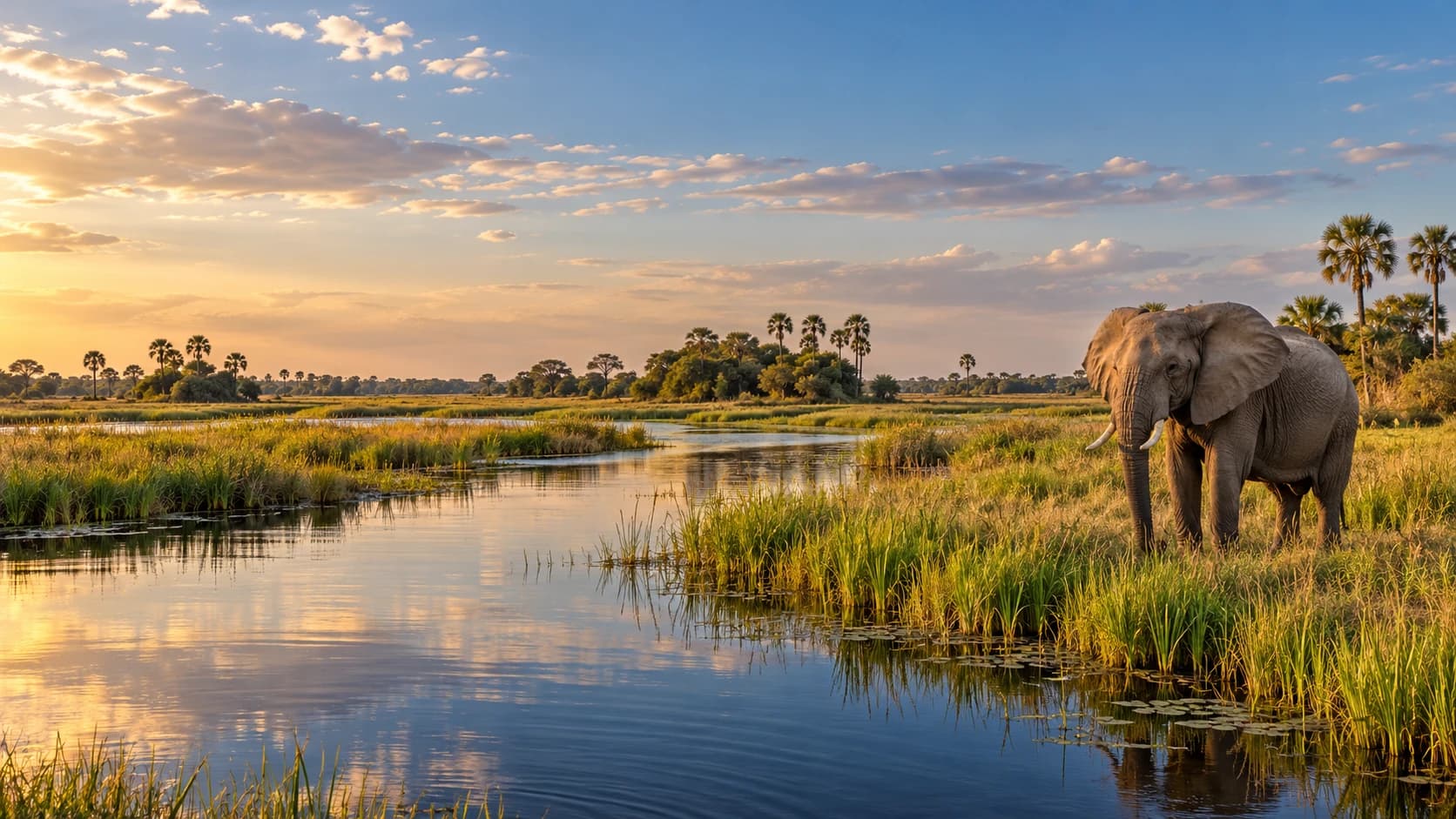
The UNESCO-listed Okavango Delta spreads into permanent channels and seasonal floodplains rather than reaching the sea. Floodwaters arrive from the Angolan highlands, often during Botswana’s dry season. Moremi Game Reserve protects part of this wetland mosaic. Mokoro canoe trips, boat journeys and guided walks depend on water levels, local rules and qualified operators.
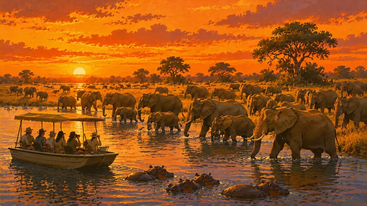
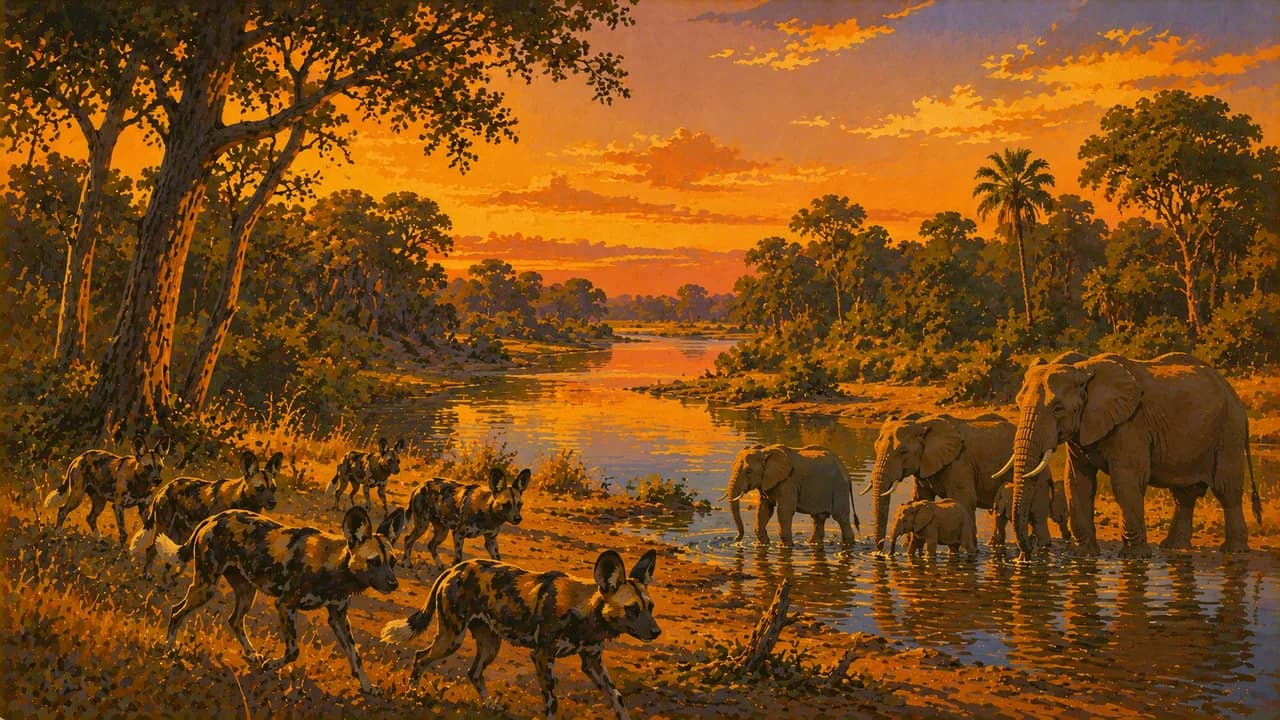
Chobe National Park combines riverfront habitats with woodland and savanna. Wildlife gathers around water, but sightings are never guaranteed. Kasane serves as a northern transport and safari base. Linyanti adds floodplains, lagoons and changing channels, with access shaped by concessions and seasonal conditions.
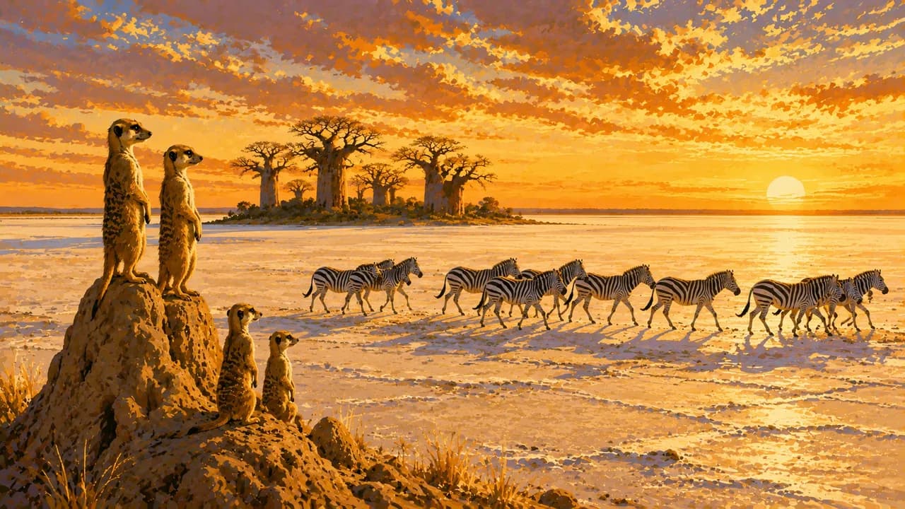
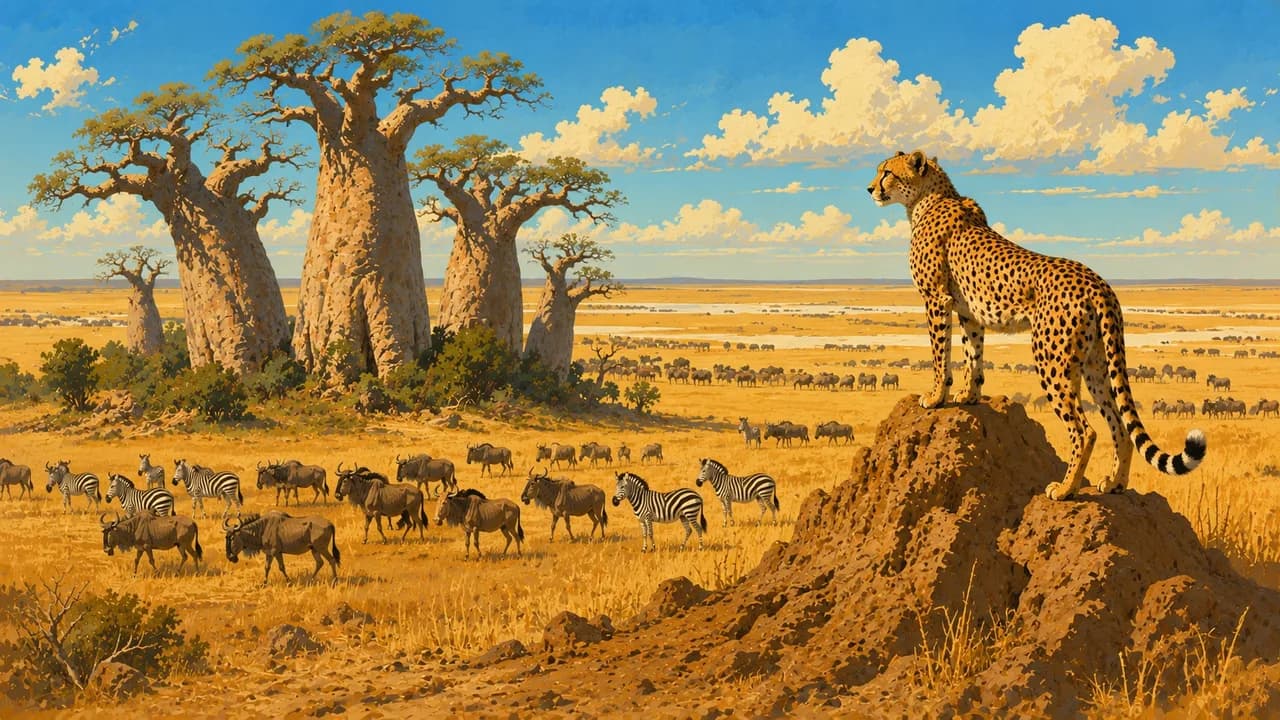
Makgadikgadi’s salt pans preserve traces of ancient lakes. Nxai Pan National Park combines grasslands, scattered trees and Baines’ Baobabs. Rain can bring zebra movements and birdlife, while dry conditions reveal open horizons. Migration timing follows rainfall and grazing rather than a fixed visitor calendar. Wet pans can trap vehicles.
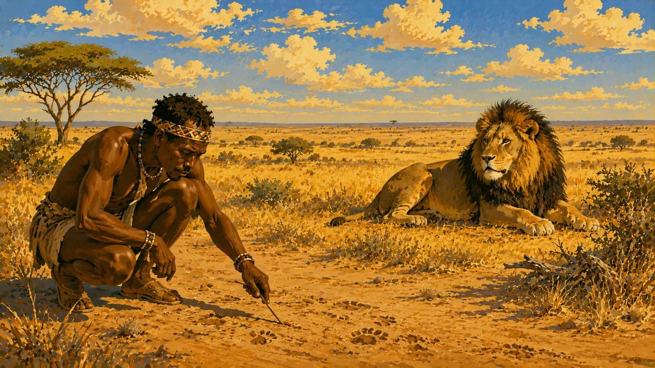
The Central Kalahari Game Reserve offers dune valleys, pans and dryland wildlife habitats. San communities have enduring cultural connections to these landscapes, alongside complex histories of displacement and access. Community encounters require consent and fair local participation.
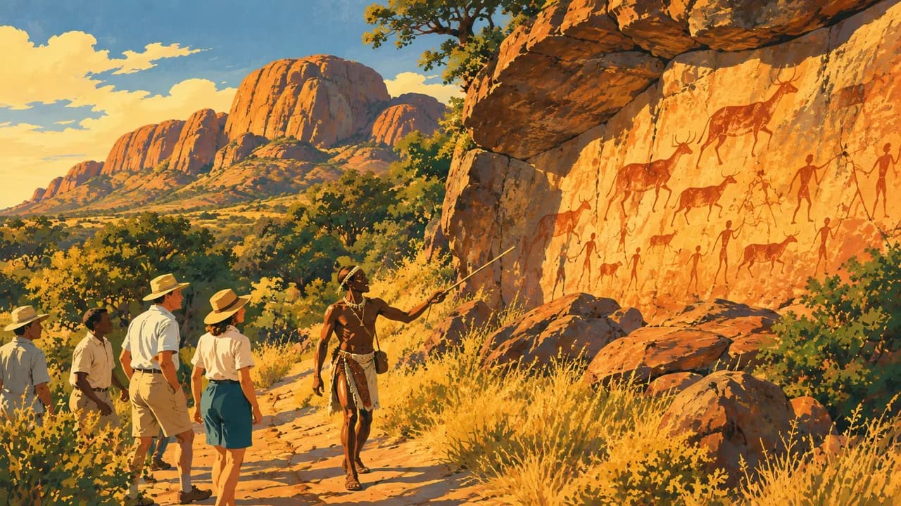
UNESCO-listed Tsodilo Hills preserve rock art and remain spiritually significant to San and Hambukushu communities. Follow local guides and respect sacred places. Regional meals include seswaa, slowly cooked and pounded meat, and bogobe porridge.
May to October is broadly dry, with cold winter nights and intense late-season heat. Summer rain changes habitats and road conditions. Check current entry and health advice, park bookings and remote-area arrangements. Crime also affects towns, so the country should not be described as uniformly safe. Avoid night driving and allow for limited medical support outside major centres.
AI edited
- 28
- Administrative districts Government reporting on decentralisation gives 28 administrative districts following reorganisation. This is not the number of ten traditional rural districts or the number of constituencies. Statistical, historical and local-government geographies can use different counts. The government figure is referenced to 2024.
- ≈ 2.56 million
- Population Rounded UN population projection for 2025 using the medium-fertility variant. UNData gives 2.562 million people. This is neither a new census nor a count for 2026. National census figures and other projections can differ.
- 582,000 km²
- Area Surface area according to UNData, referenced to 2023, including inland waters. This covers the entire national territory rather than protected areas alone or land excluding water. Other national and international series may use slightly different definitions.
- Setswana
- Language Setswana is the national language and an important shared everyday language. English is used for official and business communication. Everyday usage varies regionally. Highlighting the national language implies neither linguistic uniformity nor replacement of other community languages.
- English and others
- Other languages English is particularly widespread in administration, business and tourism establishments. Other languages include Kalanga, Shekgalagari and several San languages. English proficiency cannot be assumed everywhere. This selection is not a complete language list.
- Pula
- Currency International currency code BWP, common sign P. One pula equals 100 thebe. Cards and ATMs are available mainly in larger towns. Confirm payment arrangements for remote stays with providers. Foreign currencies are not universally accepted for everyday payments.
- D · G · M
- Socket types Round-pin types D and M and rectangular-pin type G are used. Supply is typically 220 to 240 V at 50 Hz. D and M are not interchangeable despite their similar shape. Check connections and electricity availability with accommodation. An adaptor does not convert voltage.
- Gaborone
- Capital Gaborone is the capital and a political and economic centre. Maun and Kasane are important visitor gateways rather than capitals. The clock uses Gaborone’s local time. Museums, monuments, markets and contemporary culture complement the nature portrait.
- Left-hand traffic
- Driving side Traffic drives on the left. Wildlife and livestock can cross roads unexpectedly. Avoid night driving. Sandy tracks, seasonal flooding and wet salt pans require suitable vehicles, local knowledge and realistic supplies. Prepare remote journeys carefully and follow park rules.
- UTC+2
- Time zone Central Africa Time applies year round without seasonal clock changes. The clock uses the IANA zone Africa/Gaborone. Changes in the time difference with Europe result from European summer time rather than Botswana changing its clocks.
- 1
- UNESCO cultural site Tsodilo counts as one exclusively cultural UNESCO World Heritage property. The Okavango Delta is natural World Heritage and is excluded here. Tentative List entries and intangible heritage are also excluded. Tsodilo’s rock art and spiritual significance require respect and local guiding.
Botswana on the map

Map data: geoBoundaries (CC BY 4.0), © OpenStreetMap contributors (ODbL), Natural Earth
Climate and best time to travel
The months are broad climatic comparison windows and guarantee neither access nor wildlife sightings. May to October is drier in many areas. Winter nights from May to August can be very cold. September and October often bring intense heat, and rain can already arrive in October. Summer rain generally falls roughly between November and March, with April transitions and substantial regional variation. In the Okavango Delta, floodwaters from the Angolan catchment can arrive during Botswana’s dry season. The June-to-September tile is therefore a general comparison window for delta activities rather than a promise of mokoro trips. Water level, camp location and local permissions determine boat journeys, walks and vehicle access. Moremi is not uniformly flooded or accessible either. Around Chobe and Linyanti, wildlife concentrations depend on water and vegetation. For Makgadikgadi and Nxai, the tiles highlight the drier window for pan landscapes. Zebra movements and additional birdlife may instead follow rain and fresh grazing. Dates are not fixed. Do not drive onto wet salt pans without local clearance. Central Kalahari uses a different January-to-April window, when rain can transform vegetation and grazing. Mud, heat and difficult access remain possible. Explore Tsodilo with local guiding and outside the hottest hours. Check current entry, health and security advice. Crime also affects towns. Avoid night driving, confirm park bookings and prepare remote journeys with adequate supplies, communication and suitable operators. Medical assistance is limited outside major centres.