Eswatini
Rolling highlands, wildlife-rich lowlands and living craft traditions bring a varied kingdom into view.
Worth coming back!
Wanderlama keeps growing with new destinations, helpful information and exciting features. Check back soon and discover what is new!
Travel to Eswatini
Eswatini is a landlocked kingdom between South Africa and Mozambique. Cooler western highlands descend through fertile valleys to warmer eastern lowlands and the Lubombo hills. Mbabane is the administrative capital, while Lobamba holds royal and legislative institutions. The former name Swaziland still appears in historical material.
Lobamba’s National Museum and King Sobhuza II Memorial Park introduce national history, cultural heritage and the monarchy. These places complement the wider landscape rather than representing the whole country. Royal and ceremonial areas have their own access and photography rules.
The Ezulwini Valley connects community life and craft workshops. Mantenga introduces aspects of Swazi cultural heritage, while nearby Malkerns is associated with candle making and contemporary creative work. Glass workshops and Manzini’s markets reveal local skills, food trading and everyday livelihoods beyond the main visitor centres.
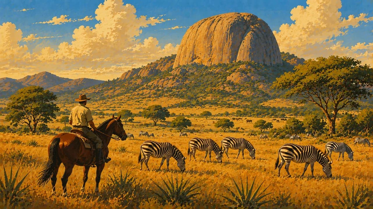
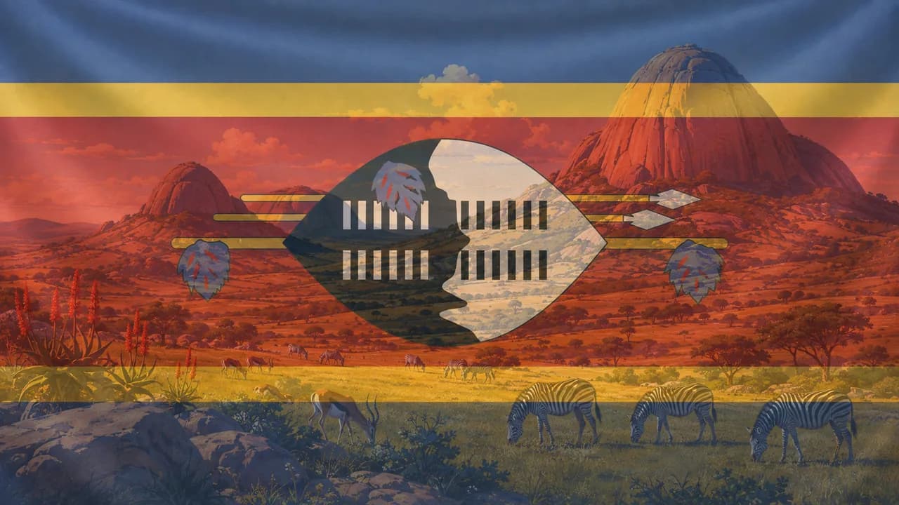
Mlilwane Wildlife Sanctuary offers grasslands, wooded slopes and walking or cycling on permitted routes. Zebra, antelopes and birds are part of its appeal. Follow reserve guidance, as access on foot differs from the rules in reserves with larger potentially dangerous animals.
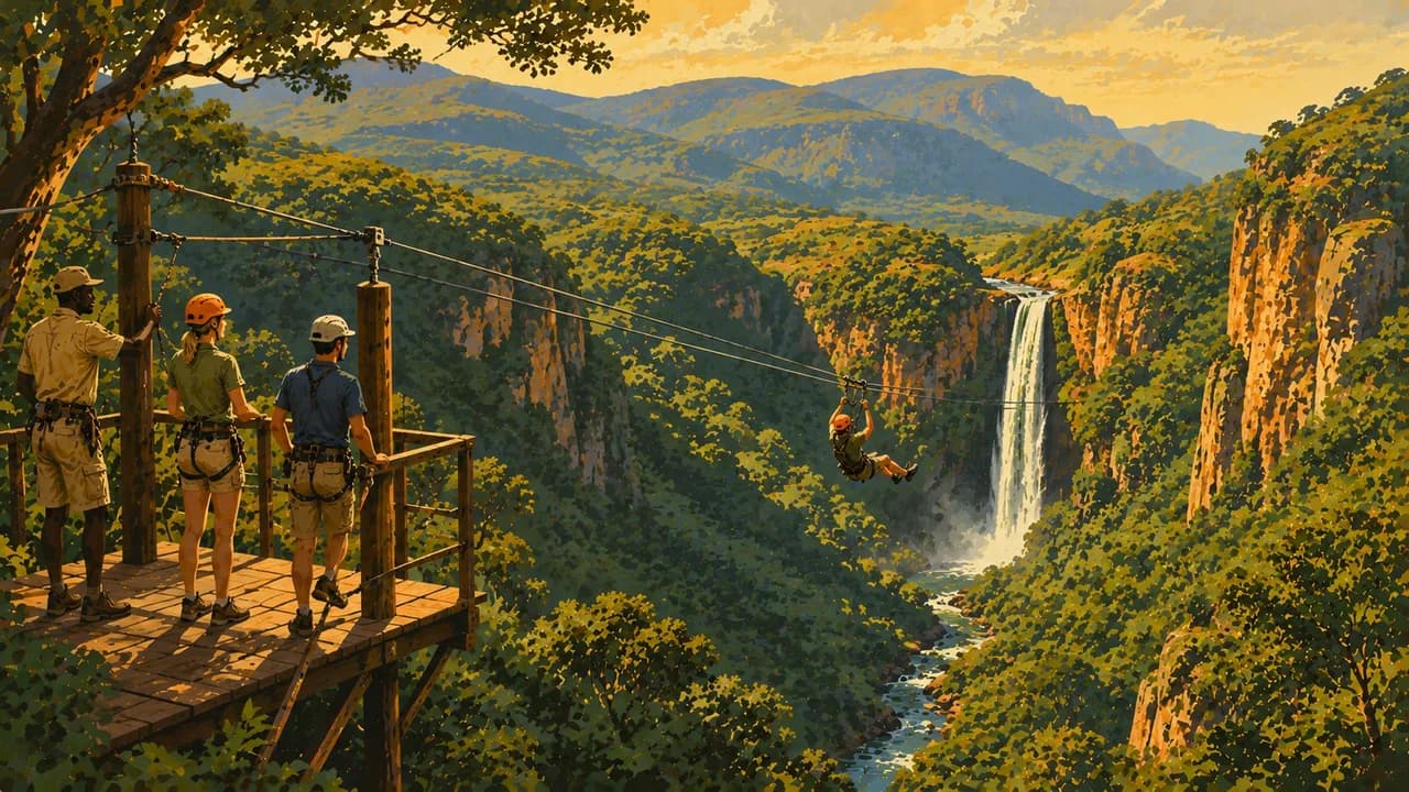
Malolotja Nature Reserve protects rugged highland grassland, forested gorges and waterfalls. Short walks and longer trails reveal a different landscape from the lowveld. Mist, cold and sudden storms require suitable clothing and careful route planning.
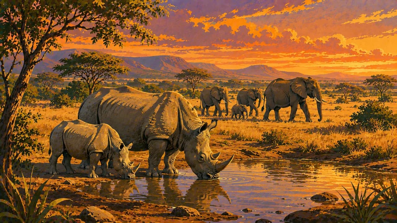
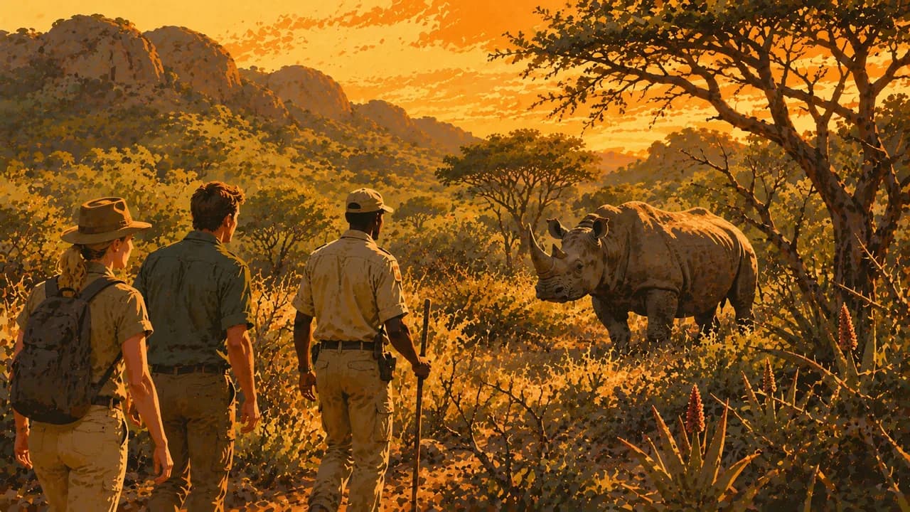
Hlane Royal National Park combines woodland and savanna habitats with elephants, white rhinos and other wildlife. Mkhaya Game Reserve is associated with black and white rhino conservation. Arrange its guided access in advance rather than assuming unrestricted self-driving. Respect wildlife distances and remember that sightings cannot be promised.
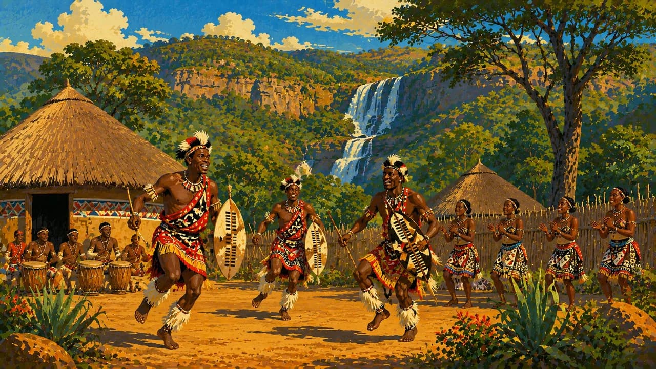
siSwati, music, basket weaving and family traditions remain part of contemporary society. Umhlanga and Incwala are significant ceremonies with their own protocols, not fixed tourist performances. Ask before photographing people. Maize porridge and leafy vegetables feature in local cooking. Allow time beyond a transit stop and check current border, health and security information.
AI edited
- 4
- Regions The administrative regions are Hhohho, Manzini, Shiselweni and Lubombo. They are distinct from tinkhundla constituencies and local chiefdoms. Tourism regions may use different geographic groupings.
- ≈ 1.26 million
- Population Rounded UN population projection for 2025. UNData reports 1.256 million under the medium-fertility assumption. This is not a new census or a count for 2026. Other national estimates may differ.
- 17,363 km²
- Area UNData surface area with reference year 2023, including inland waters. Eswatini is a landlocked independent state between South Africa and Mozambique. Other published series can use slightly different area figures.
- siSwati & English
- Languages siSwati and English are official languages. siSwati is central to everyday communication and Swazi cultural life. English is used in administration, education and tourism, but proficiency varies between people and places.
- Regional community languages
- Other languages Other southern African languages are spoken in some communities and through cross-border family and work connections. This is not a complete language inventory and does not give these languages the same official status as siSwati and English.
- Lilangeni / South African rand
- Currency The lilangeni, plural emalangeni, has code SZL and sign E. One lilangeni equals 100 cents. It is pegged one-to-one to the rand, which is also legal tender in Eswatini. Do not assume emalangeni will be accepted in South Africa. Confirm local payment arrangements.
- M · N
- Socket types The tourism authority lists large round-pin type M and type N connections, with 230 V AC. Confirm socket type and supply with your accommodation, as installations vary. Types M and N are not interchangeable. A plug adapter does not convert voltage.
- Mbabane
- Capital Mbabane is the administrative capital. Lobamba is the royal and legislative centre, associated with parliament and national institutions. The local clock uses Mbabane time rather than implying that all capital functions occupy one city.
- Left-hand traffic
- Driving side Vehicles drive on the left. Livestock, pedestrians, unlit roads and changing rural surfaces require care. Avoid driving after dark. Confirm reserve access, suitable vehicles and border documentation separately when combining countries.
- UTC+2
- Time zone South Africa Standard Time applies throughout the year without daylight saving. The clock uses Africa/Mbabane. Seasonal changes in the difference from Europe come from European clock changes.
Eswatini on the map

Map data: geoBoundaries (CC BY 4.0), © OpenStreetMap contributors (ODbL), Natural Earth
Climate and best time to travel
The months are broad climatic comparison windows, not guarantees of access or wildlife sightings. The western highveld is cooler and wetter than the eastern lowveld. May to September is generally a useful drier comparison period for valley visits, walking and wildlife viewing, although transitional May can still bring rain. Highland mornings and winter evenings can be cold. In Hlane and Mkhaya, thinner vegetation and water availability may make animals easier to observe, but sightings remain unpredictable. Follow reserve rules and use required guides. October to April is usually warmer, with summer rain and thunderstorms. Rain can also continue into May, and lowland heat can be intense. Malolotja can become misty and wet even when nearby valleys are clear. Spring flowers can offer a different reason to visit, but their timing depends on rain. Check trail conditions, start walks with suitable clothing and avoid exposed ground during storms. Cultural ceremonies follow their own calendars, so the cards do not promise festival dates or public admission. Ask before photographing people and respect restrictions at ceremonial and royal sites. Check current official entry, health and security advice, avoid demonstrations and night driving, and prepare cross-border journeys separately.