Slovakia
Slovensko
Castles, historic towns and Carpathian trails meet living traditions from the Danube to the eastern valleys.
Worth coming back!
Wanderlama keeps growing with new destinations, helpful information and exciting features. Check back soon and discover what is new!
Travel to Slovakia
Slovakia combines Carpathian mountains, wooded river valleys and the warmer Danubian lowlands. Regional folk traditions, farming, winegrowing and contemporary culture broaden a journey beyond castles and high peaks. Southern plains and eastern towns offer different perspectives from the better-known mountain resorts.
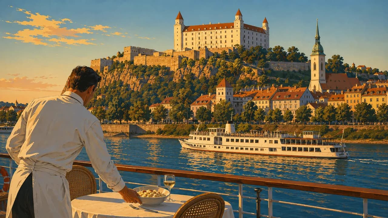
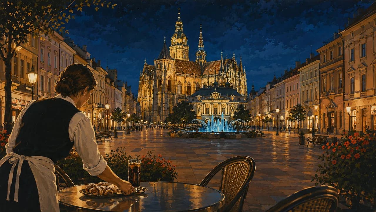
Bratislava, the capital on the Danube, combines its castle and old town with galleries, cafés and modern architecture. Košice adds St Elisabeth’s Cathedral, craft streets and independent cultural venues in former industrial and military buildings. Both cities reward time beyond a quick sightseeing circuit.
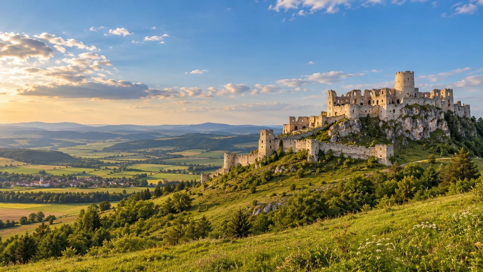
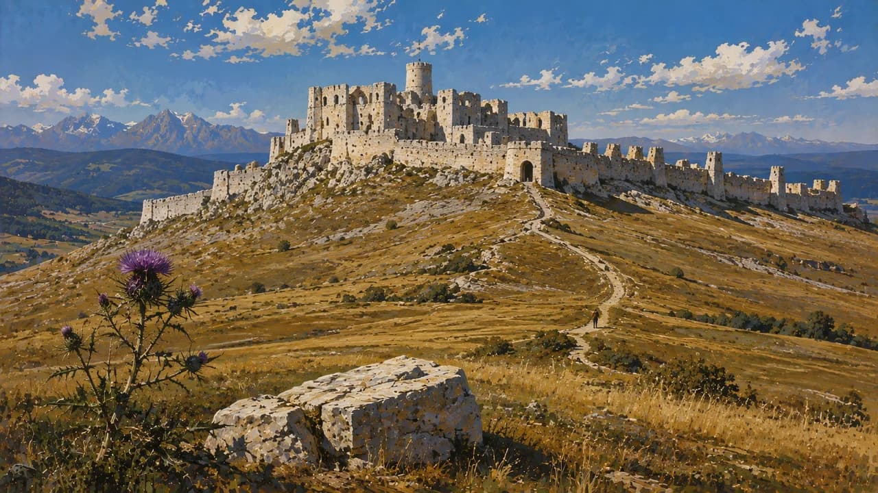
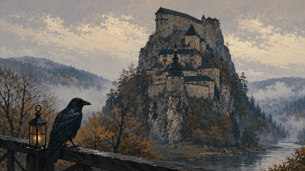
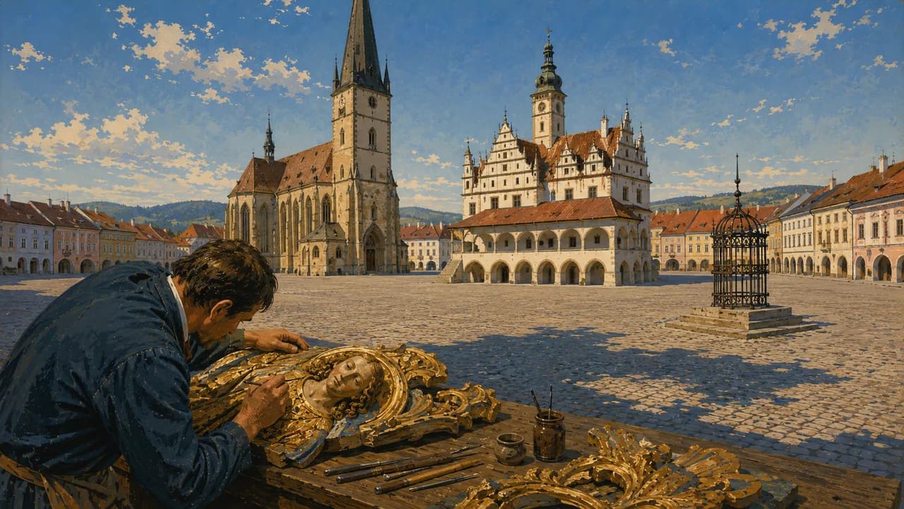
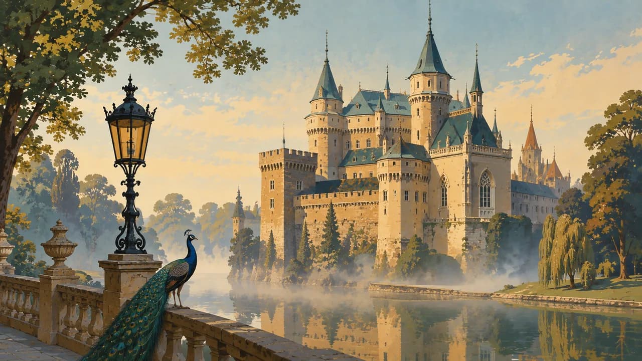
Trenčín’s hilltop castle overlooks the Váh valley, while Bojnice presents a romantic castle shaped by later rebuilding. Orava Castle rises above its river on a steep rock. Spiš Castle and nearby Levoča connect fortifications with medieval townscapes and carved sacred art. Access to castle interiors varies by season and tour arrangements.
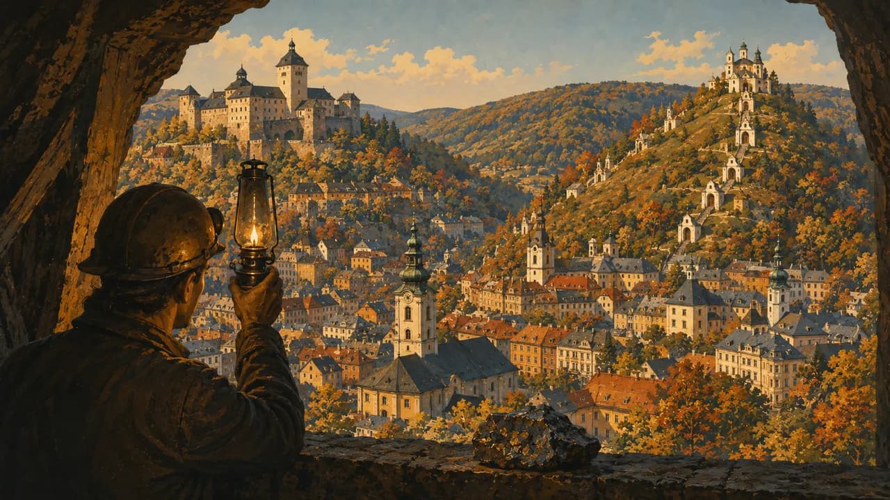
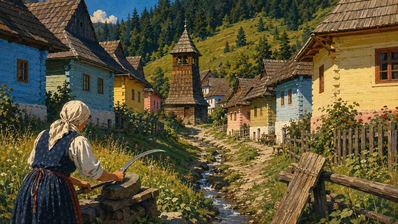
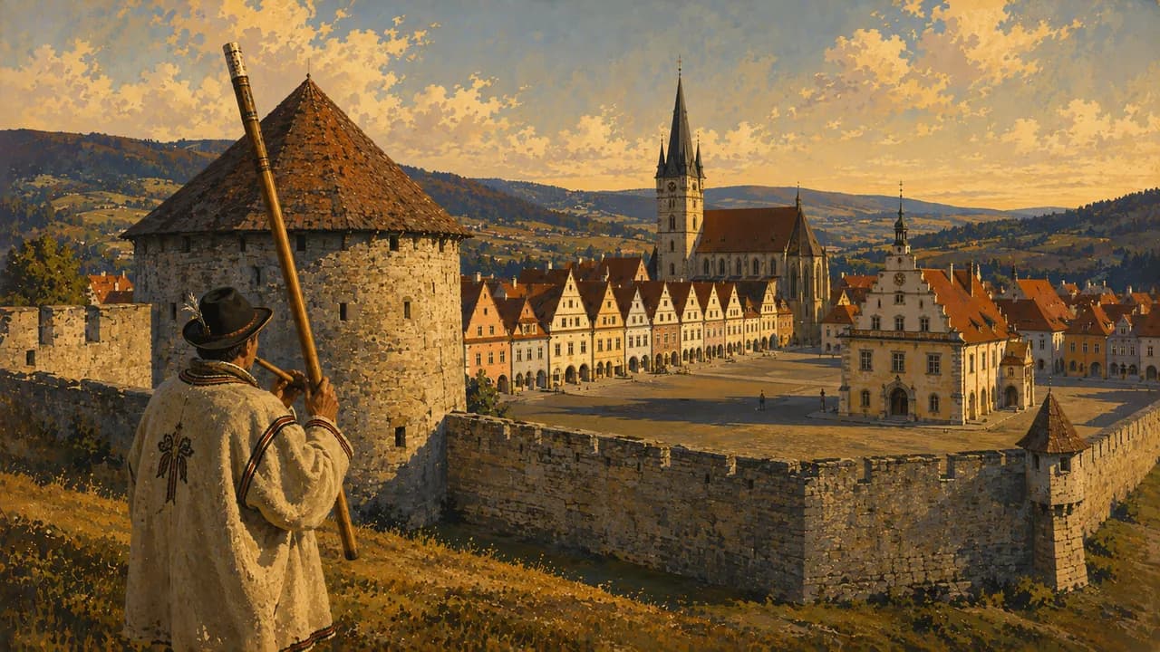
Banská Štiavnica reveals mining history, historic streets and former mining reservoirs. Vlkolínec preserves traditional wooden houses in a living village, where residents’ privacy matters. Bardejov’s market square and burgher houses complement the wooden churches of northeastern Slovakia. These churches represent different Christian traditions and may still host religious services.
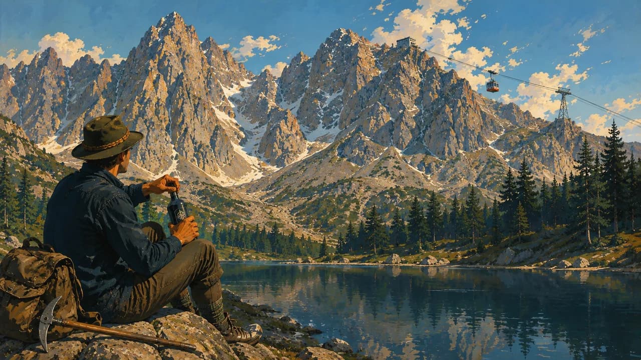
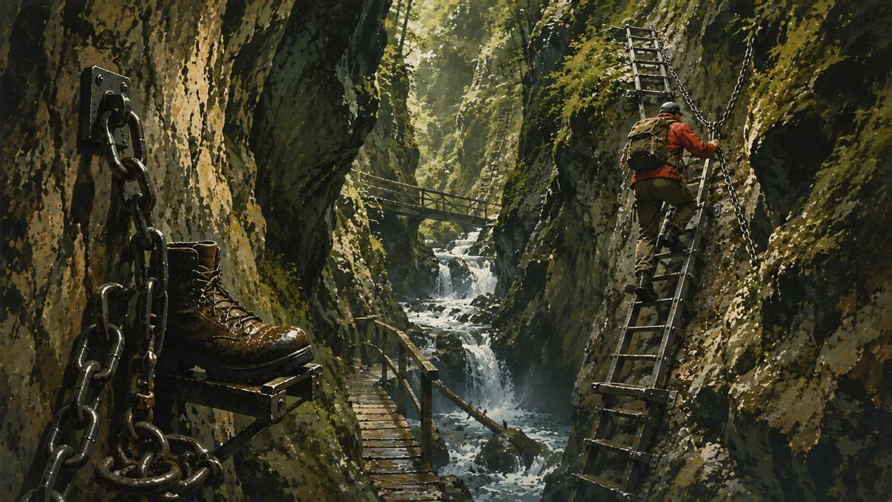
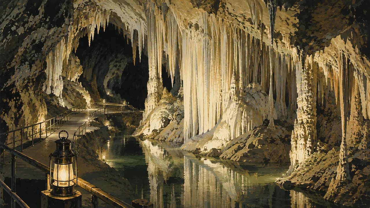
The High Tatras offer mountain lakes, marked trails and seasonal winter sports. Demänovská Valley in the Low Tatras combines public show caves with mountain recreation. Slovak Paradise National Park has gorge routes with ladders and exposed passages requiring sure-footedness and a head for heights. Weather, water levels and closures can affect access. Respect seasonal Tatra trail restrictions and cave tour schedules.
Bryndzové halušky, potato dumplings with sheep’s cheese, and kapustnica cabbage soup introduce regional food alongside local wines. Southern vineyard landscapes and thermal spas offer gentler alternatives to mountain walking. Trains connect the main cities, while smaller villages and trailheads often need bus connections. Check timetables, trail difficulty, snow and attraction opening arrangements before travelling.
AI edited
- 8
- Regions Eight self-governing regions, called kraje, form the main administrative division. Historical regions such as Spiš, Orava and Liptov do not follow exactly the same boundaries.
- ≈ 5.40 million
- Population The Statistical Office of the Slovak Republic records 5,403,009 inhabitants on 30 June 2026. These quarterly figures are provisional and subject to annual revision.
- 49,035 km²
- Area The EU country profile cites Eurostat’s 2026 geographic area of 49,035 km². This is total national territory, rather than only agricultural or inhabited land.
- Slovak
- Language Slovak is the official language. It is distinct from Slovenian. Regional dialects and minority-language traditions contribute to everyday cultural life.
- Hungarian, Romani & Rusyn
- Other languages The 2021 census records Hungarian, Romani, Rusyn and Czech among residents’ mother tongues. Their regional distribution varies, as does the availability of visitor services in other languages.
- Euro (EUR)
- Currency Slovakia uses the euro. Confirm payment options for smaller businesses, village attractions and mountain huts, where cash can still be useful.
- C · E
- Socket types Types C and E use 230 V and 50 Hz. E sockets have an earth pin. Grounded plugs must be compatible with that pin.
- Bratislava
- Capital Bratislava is the capital and seat of national government, on the Danube near Austria and Hungary. Its local time applies throughout Slovakia.
- Right-hand traffic
- Driving side Traffic keeps right. Mountain weather, snow and rural roads can affect journey times. Check road conditions and parking arrangements near trailheads.
- UTC+1 / UTC+2
- Time zone Europe/Bratislava uses UTC+1 in winter and UTC+2 during daylight saving time. The clock follows seasonal changes automatically throughout the country.
Slovakia on the map

Map data: geoBoundaries (CC BY 4.0), © OpenStreetMap contributors (ODbL), Natural Earth
Climate and best time to travel
Slovakia has four seasons, with warmer southern lowlands and colder, wetter mountain areas. Spring and autumn suit towns, castles and lower walking routes. Summer opens more high trails, although thunderstorms, water levels and lingering snow can change plans. Respect seasonal Tatra closures. Gorge routes can include ladders and exposed sections requiring suitable equipment, sure-footedness and a head for heights. Check cave tours and castle access. Winter sport depends on snow and lift operations. Confirm local transport and route status before setting out.
Destinations in Slovakia
 AI generated
 AI generated
 AI generated
 AI generated
 AI generated
 AI generated
 AI generated
 AI generated
 AI generated
 AI generated
 AI generated
 AI generated