Serbia
Србија
River fortresses, frescoed monasteries and forested highlands meet lively cities and varied regional kitchens.
Worth coming back!
Wanderlama keeps growing with new destinations, helpful information and exciting features. Check back soon and discover what is new!
Travel to Serbia
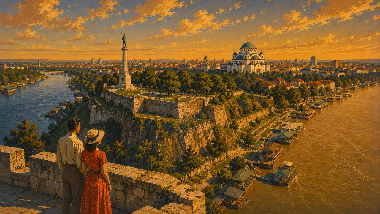
Serbia combines broad rivers, historic cities and forested highlands in the central Balkans. Belgrade stands where the Sava meets the Danube, with Kalemegdan fortress, museums, neighbourhood cafés and a varied nightlife. The country’s landscapes and cultural traditions change between the northern plains, central valleys and southern mountain regions, inviting journeys beyond the capital.
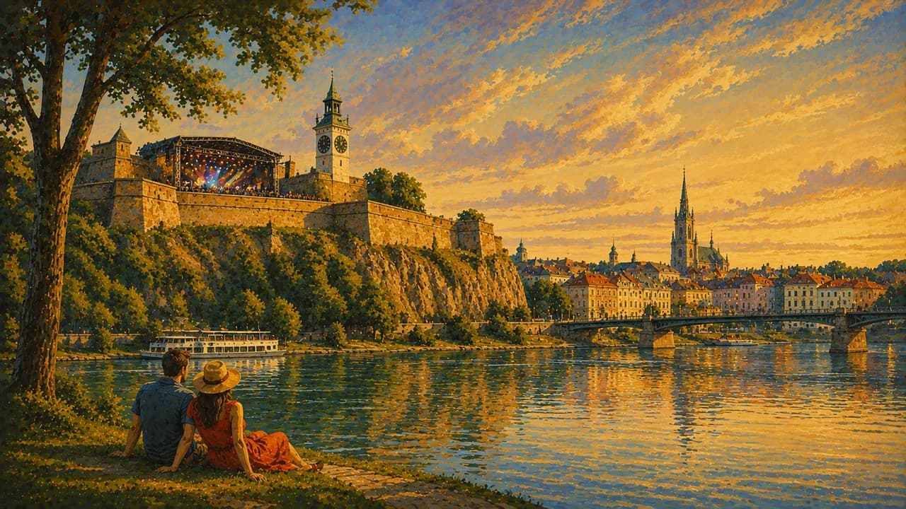
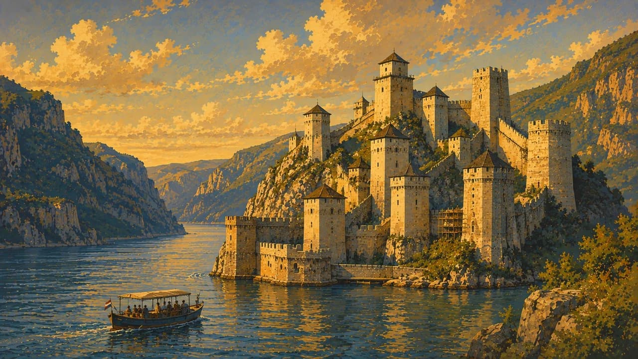
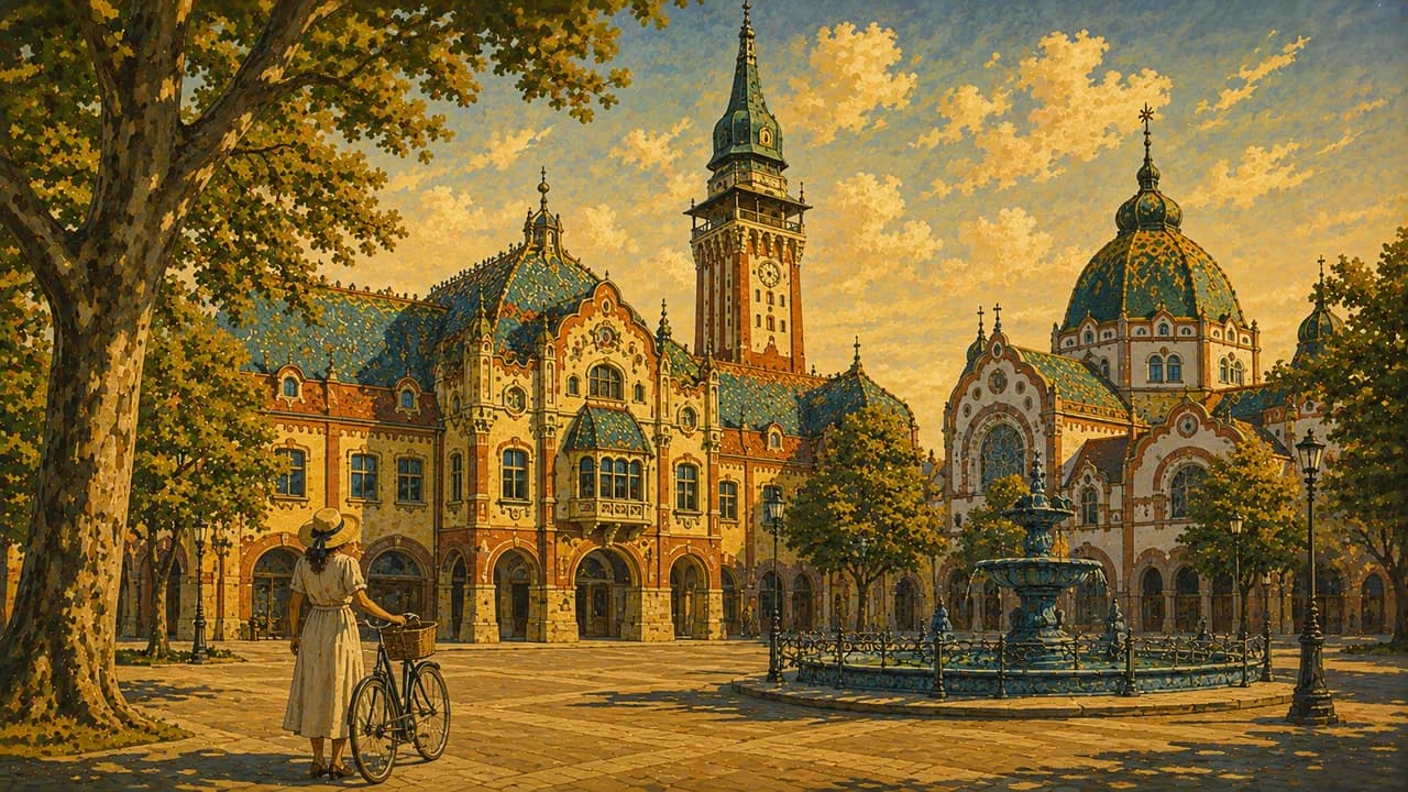
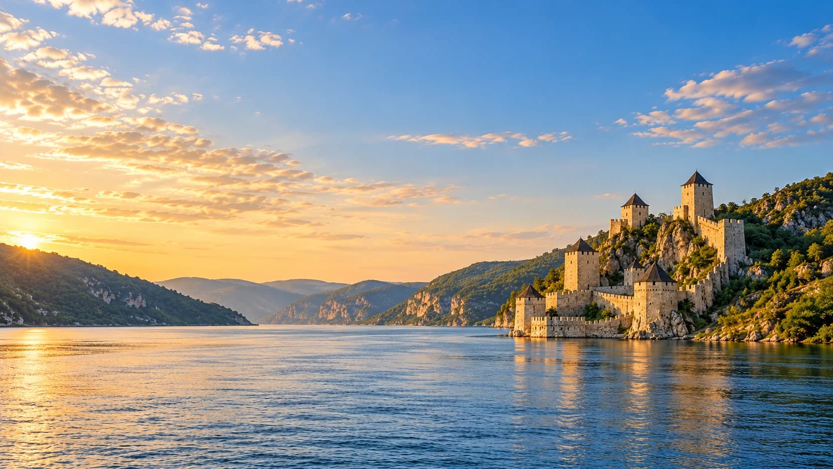
Novi Sad brings a walkable historic centre and Petrovaradin fortress above the Danube. Further north, Subotica adds colourful Art Nouveau architecture and a distinct urban heritage. Along the Danube, Golubac Fortress marks the approach to the Iron Gates gorge. Its steep upper routes have different access requirements from the lower visitor area, so a general ticket should not be assumed to include every tower.
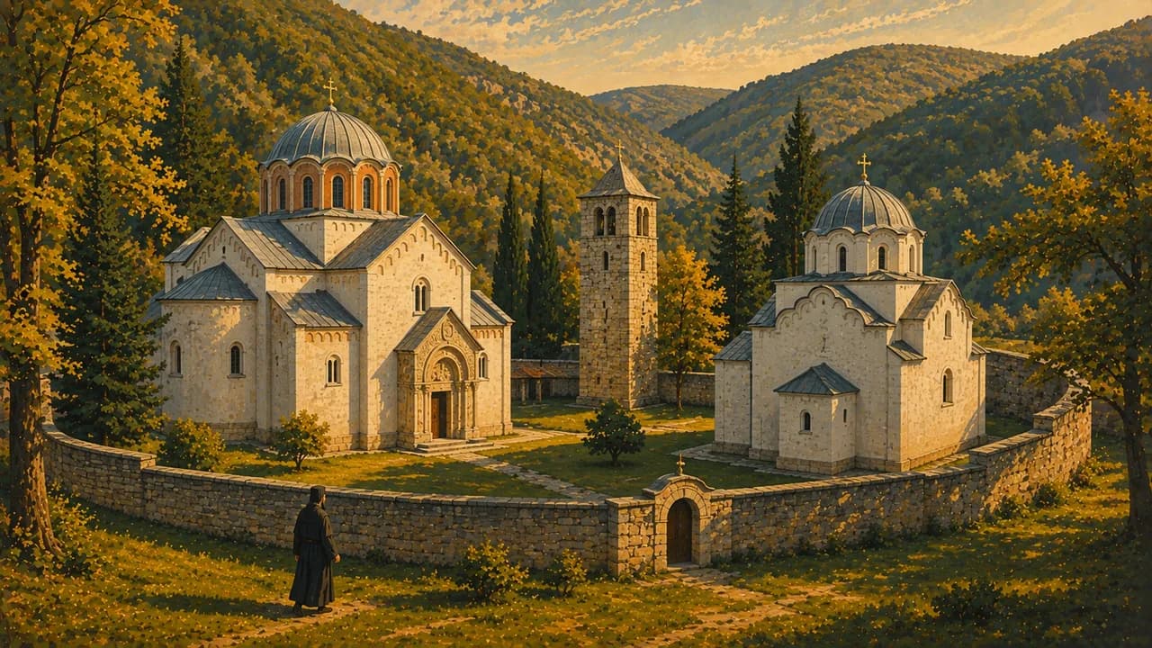
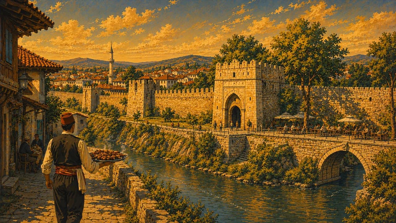
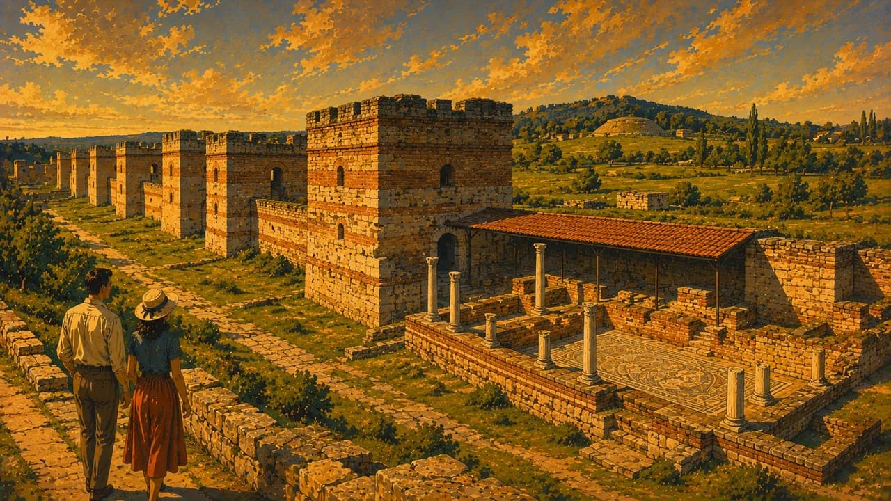
Roman heritage appears at Felix Romuliana, the palace complex near Gamzigrad inscribed by UNESCO. Niš combines an urban fortress and ancient remains with later historical layers. Studenica Monastery preserves important medieval Orthodox architecture and frescoes, while its religious role continues alongside visits. Museum and monastery arrangements should be checked individually rather than treated as interchangeable attractions.
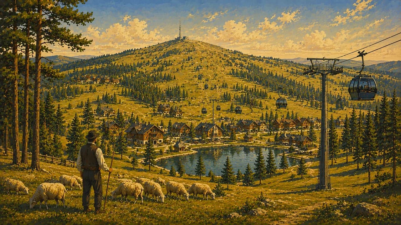
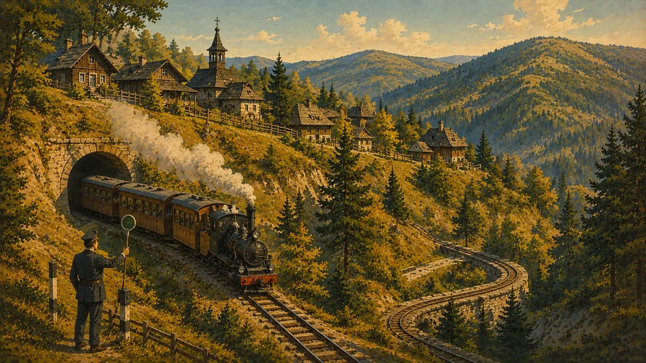
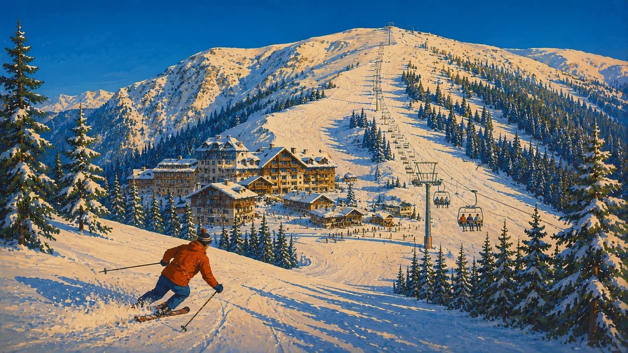
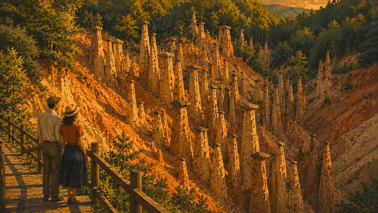
Tara National Park offers forested slopes, viewpoints and protected habitats. Zlatibor and Mokra Gora add highland settlements, landscapes and a heritage railway whose operation needs checking. Kopaonik is a winter sports base with seasonal mountain routes beyond the ski season. Đavolja Varoš provides a contrasting landscape of erosion-formed earth pillars. Weather, snow and local access rules shape outdoor options.
Grilled dishes, ajvar, cheeses, filled pastries and local wines vary across regional kitchens. Spring and autumn often suit city and cultural routes, while summer offers more highland walking and can bring strong lowland heat. Winter travel requires attention to snow and road conditions. Allow time for regional journeys, follow protected-area routes and confirm site openings before combining distant stops.
AI edited
- 24 + 1
- Districts & capital Twenty-four administrative districts and the City of Belgrade in the geographical scope excluding Kosovo.
- ≈ 6.55 million
- Population The statistical office estimates 6,549,901 residents for 2025. Its population series excludes Kosovo.
- ≈ 77,594 km²
- Area Area in the EU Serbia 2023 statistical annex for the geographical scope excluding Kosovo. Other published totals use different territorial scopes or reference records.
- Serbian
- Language Serbian and Cyrillic are official nationally. Latin script is widely encountered, with minority-language rights varying locally.
- English & others
- Other languages English is used in many tourism settings. Hungarian and other community languages are also encountered regionally.
- Serbian dinar
- Currency The currency is the dinar, code RSD. Confirm local payment methods rather than assuming euro cash is accepted.
- C · F
- Socket types Types C and F sockets, generally 230 V at 50 Hz. Check device and adapter compatibility.
- Belgrade
- Capital Belgrade, locally Beograd, is the capital. The clock follows Europe/Belgrade.
- Right-hand traffic
- Driving side Vehicles drive on the right. Winding mountain roads and winter conditions can lengthen journeys.
- UTC+1 / UTC+2
- Time zone Local time is UTC+1 in winter and UTC+2 during daylight saving time.
- 5
- UNESCO cultural sites UNESCO’s Serbia state-party list contains five cultural inscriptions. One is Medieval Monuments in Kosovo. This listing scope differs from the population and area tiles.
Serbia on the map

Map data: geoBoundaries (CC BY 4.0), © OpenStreetMap contributors (ODbL), Natural Earth
Climate and best time to travel
Serbia has mainly continental seasons, with hot summers, cold winters and cooler mountain elevations. Spring and autumn often suit cities, monasteries and river heritage routes. Summer provides more mountain walking options, while heat and thunderstorms can affect lowland visits and outdoor plans. Winter sports depend on snow and operating conditions. Protected areas and fortress upper routes may have separate access requirements. Month chips show typical planning windows and do not guarantee weather, transport or site access.