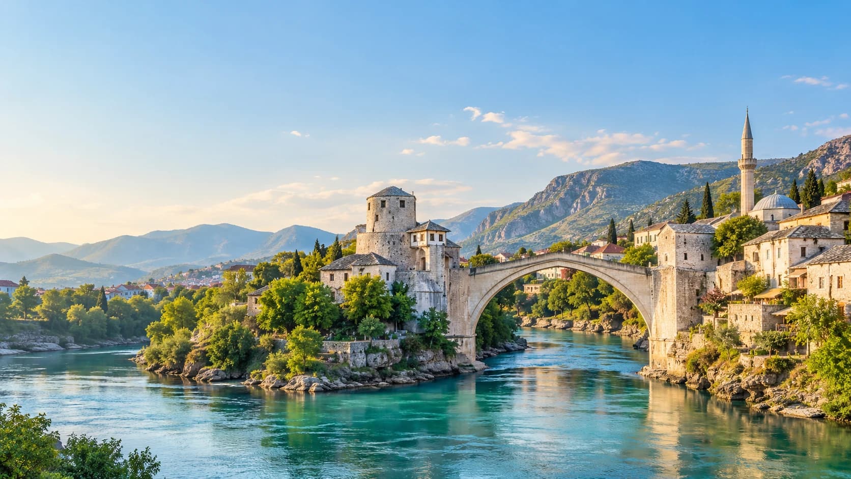
Bosnia and Herzegovina
Bosna i Hercegovina · Босна и Херцеговина
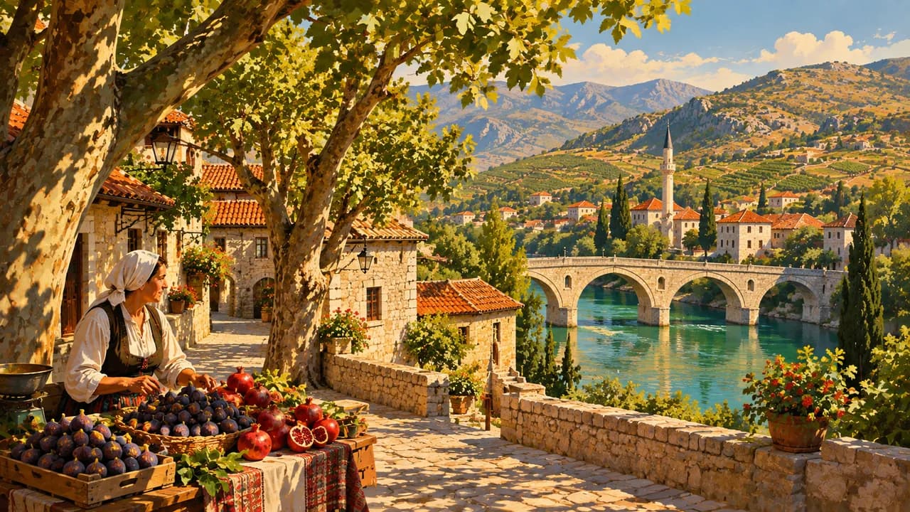
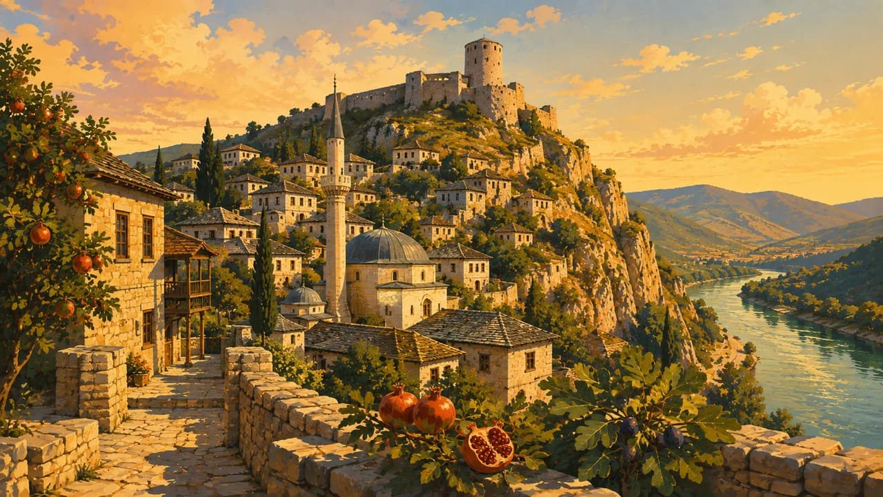
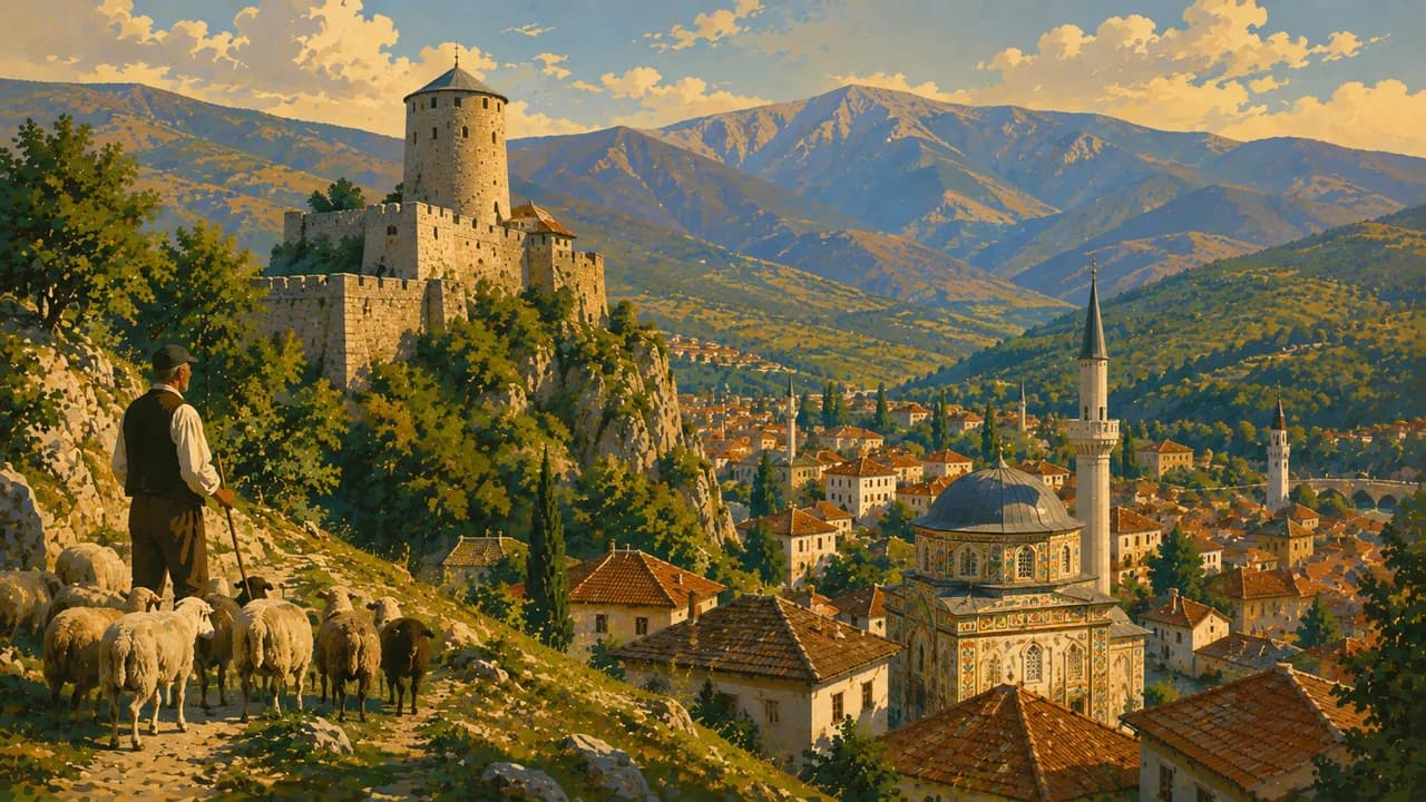
Stone bridges, turquoise rivers and mountain forests frame a country of layered histories and shared coffee rituals.
Worth coming back!
Wanderlama keeps growing with new destinations, helpful information and exciting features. Check back soon and discover what is new!
Travel to Bosnia and Herzegovina
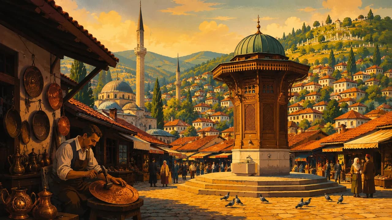
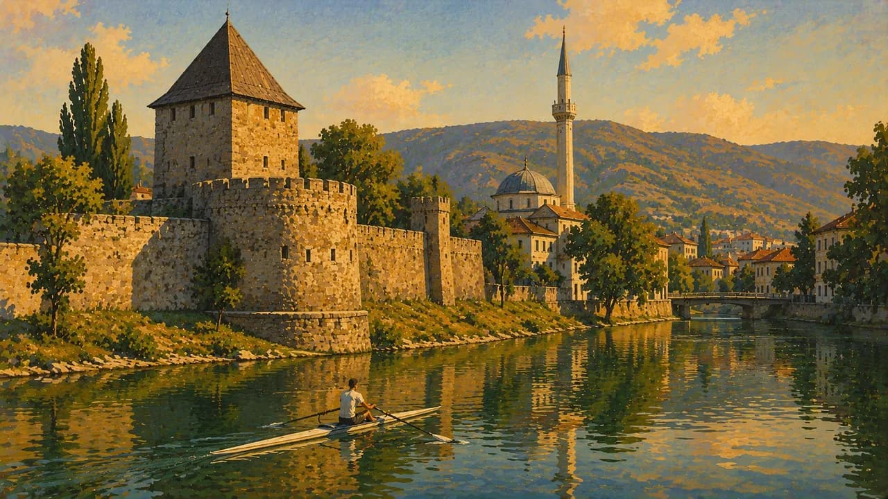
Bosnia and Herzegovina combines mountain landscapes, turquoise rivers and towns shaped by Ottoman and Austro-Hungarian influences. Different religious traditions remain visible in its buildings and everyday life. Sarajevo brings these layers together through the Baščaršija bazaar, craft workshops, churches, mosques and synagogues. Museums and memorials also address the siege and the war of the 1990s.
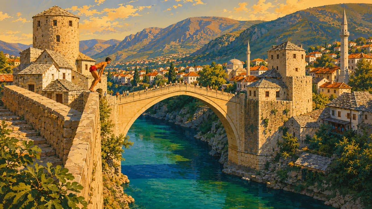
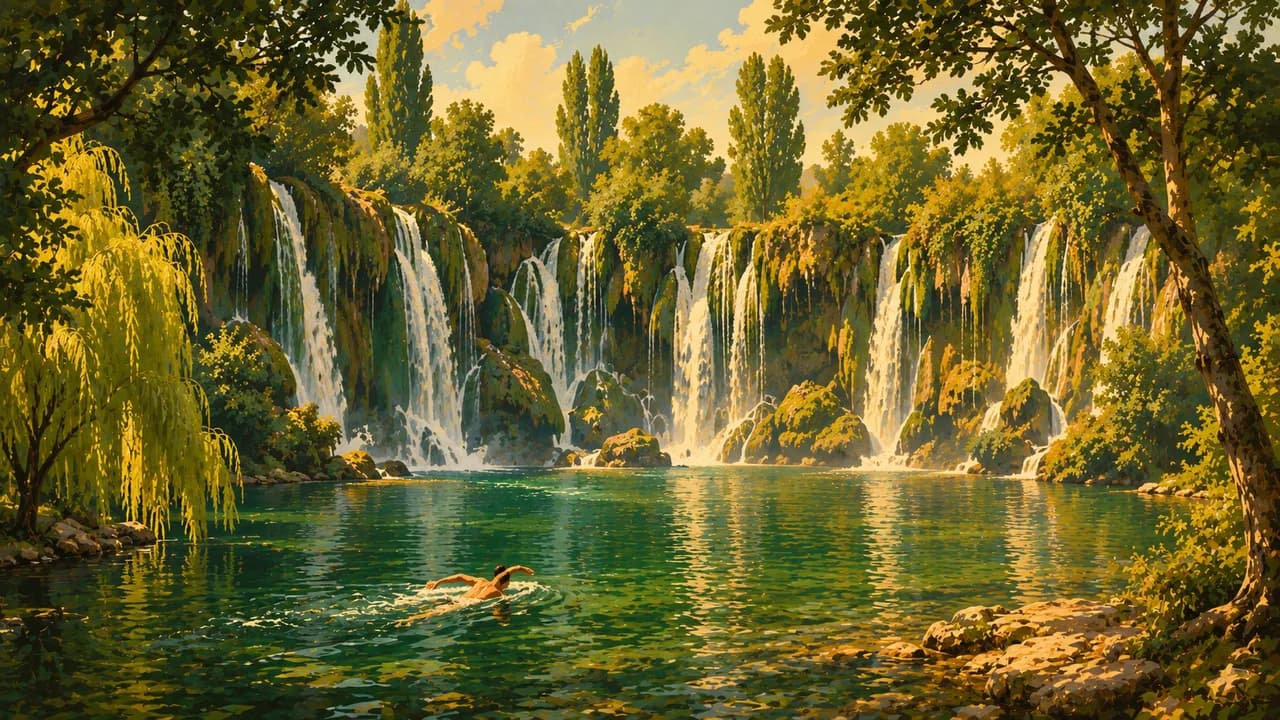
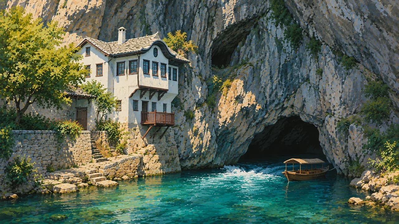
Mostar’s rebuilt Stari Most spans the Neretva between cobbled market streets. Its bridge-diving tradition is a specialist local practice. Nearby Blagaj has a dervish house beside the powerful Buna spring, while Počitelj climbs a stone hillside. Kravice Waterfalls add a contrasting landscape. Trebinje offers shaded squares, vineyards and the Trebišnjica river, while Međugorje is a Catholic pilgrimage centre.
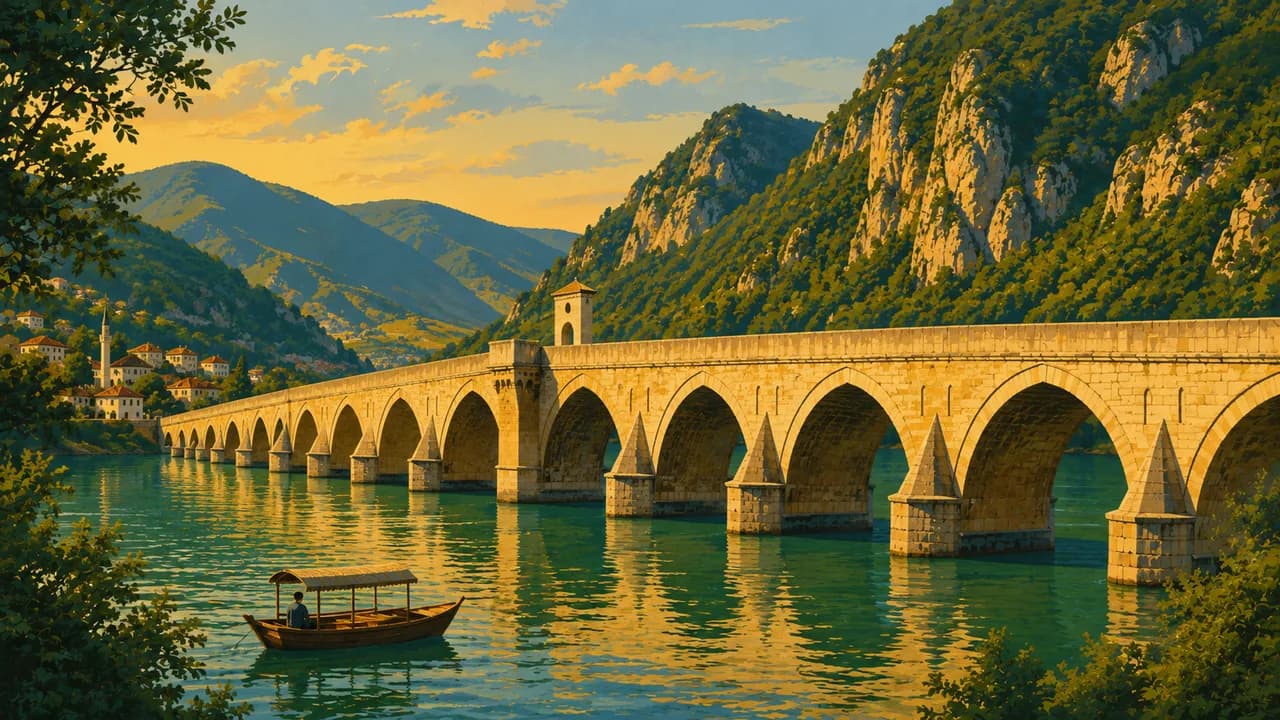
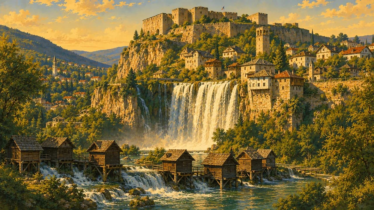
In central Bosnia, Travnik combines an Ottoman legacy with a hilltop fortress. Jajce places a waterfall beside its historic centre. Banja Luka opens towards the Vrbas valley, while Višegrad’s Mehmed Paša Sokolović Bridge is a UNESCO cultural site. Mostar’s old bridge area and the shared medieval Stećci graveyards also hold cultural World Heritage status.
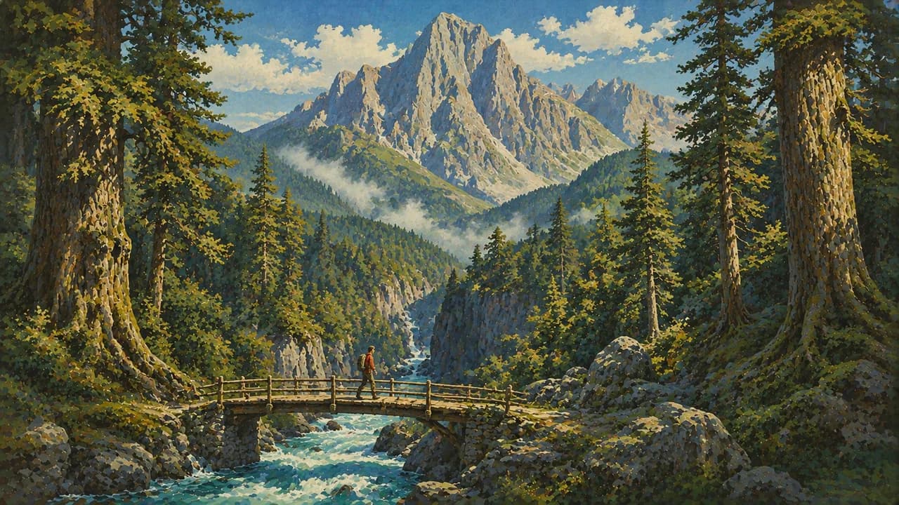
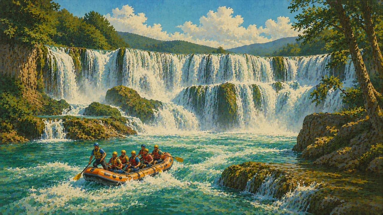
Una National Park protects river scenery and waterfalls in the northwest. Sutjeska National Park brings high mountains and forests, including the strictly protected Perućica reserve. Walking, guided rafting and winter skiing broaden the options beyond towns, but access depends on conditions and permissions. Rural landmine risks make established safe routes and experienced local guidance essential.
Bosnian coffee served in a džezva, ćevapi, filled pastries and seasonal dishes shape unhurried meals. Spring and autumn often suit heritage routes, while summer brings hotter southern valleys and more mountain options. Winter can bring snow and difficult roads. Allow time for winding regional journeys and check weather, river conditions and protected-area access before setting out.
AI edited
- 2 + 1
- Entities & district The state comprises the Federation of Bosnia and Herzegovina, Republika Srpska and the self-governing Brčko District. These are not three equivalent entities.
- ≈ 3.53 million
- Population The 2013 census counted 3,531,159 residents. This is a dated census baseline, not a current population estimate.
- ≈ 51,209 km²
- Area The national statistical agency gives a geographical area of about 51,209 square kilometres.
- Bosnian, Croatian & Serbian
- Languages Bosnian, Croatian and Serbian are used officially. Latin and Cyrillic scripts are both encountered.
- English & others
- Other languages English is used by many tourism providers. Availability of other languages varies locally.
- Convertible mark
- Currency The convertible mark is abbreviated KM, with the currency code BAM. Confirm card acceptance and cash needs locally.
- C · F
- Socket types Types C and F sockets, generally 230 V at 50 Hz. Check device and adapter compatibility.
- Sarajevo
- Capital Sarajevo is the capital. The clock follows Europe/Sarajevo.
- Right-hand traffic
- Driving side Vehicles drive on the right. Mountain roads and winter conditions need additional journey time.
- UTC+1 / UTC+2
- Time zone Central European Time is UTC+1 in winter and UTC+2 during daylight saving time.
- 3
- UNESCO cultural sites UNESCO lists three cultural inscriptions, Mostar’s Old Bridge Area, the Višegrad bridge and shared Stećci graveyards. Two additional natural inscriptions cover beech forests and Vjetrenica Cave.
Bosnia and Herzegovina on the map

Map data: geoBoundaries (CC BY 4.0), © OpenStreetMap contributors (ODbL), Natural Earth
Climate and best time to travel
Inland valleys have warm summers and cold winters, while southern Herzegovina has stronger Mediterranean influences and hotter summers. Spring and autumn often suit towns and lowland heritage routes. Summer generally offers better mountain access, but storms, heat and river levels still affect activities. Winter snow can restrict mountain roads and walking. Landmines remain a rural risk. Keep to established safe routes and use experienced local guidance rather than exploring unmarked paths. Month chips show typical planning windows, not guaranteed conditions.