Panama
A canal between oceans, historic quarters, tropical islands and coffee highlands meet living cultures and regional cooking.
Worth coming back!
Wanderlama keeps growing with new destinations, helpful information and exciting features. Check back soon and discover what is new!
Travel to Panama
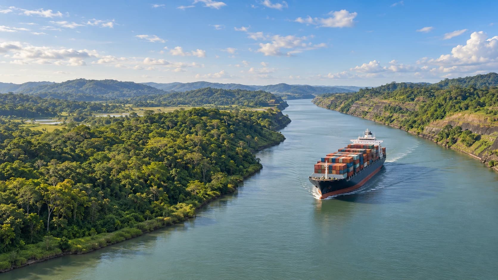
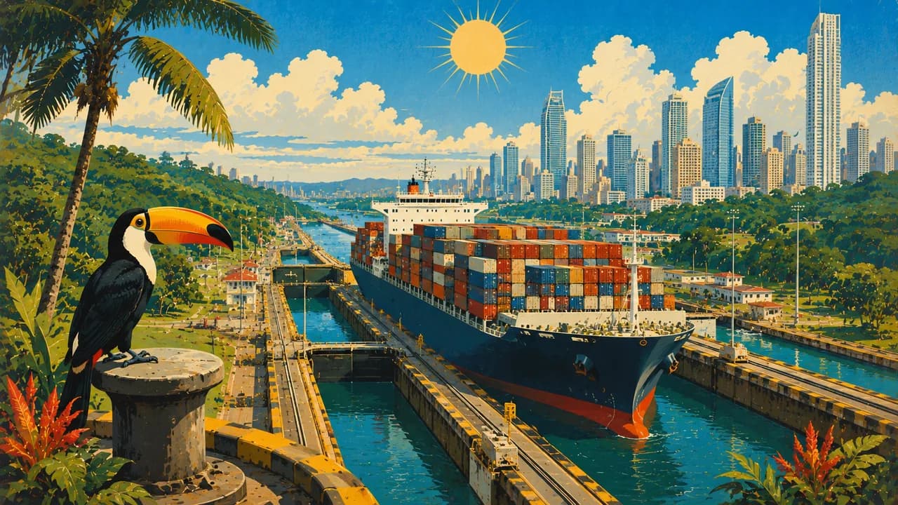
Panama links North and South America between the Caribbean and Pacific. The Panama Canal connects the Atlantic and Pacific oceans, but the country extends beyond this engineering landmark. Indigenous, African and European influences shape its cities, living traditions, regional cooking and forest landscapes.
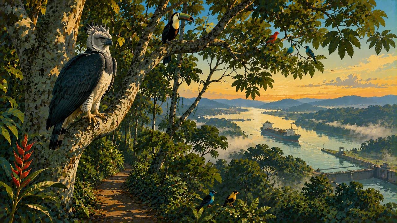
Panama City combines its skyline with Casco Viejo and the separate ruins of Panamá Viejo. Miraflores introduces canal shipping, while Gamboa and Soberanía National Park offer forest trails and birdwatching without guaranteed sightings. Taboga and Contadora in the Pearl Islands add Pacific island settings. Portobelo and San Lorenzo preserve Caribbean fortifications, with Portobelo also expressing living Afro-Panamanian Congo traditions.
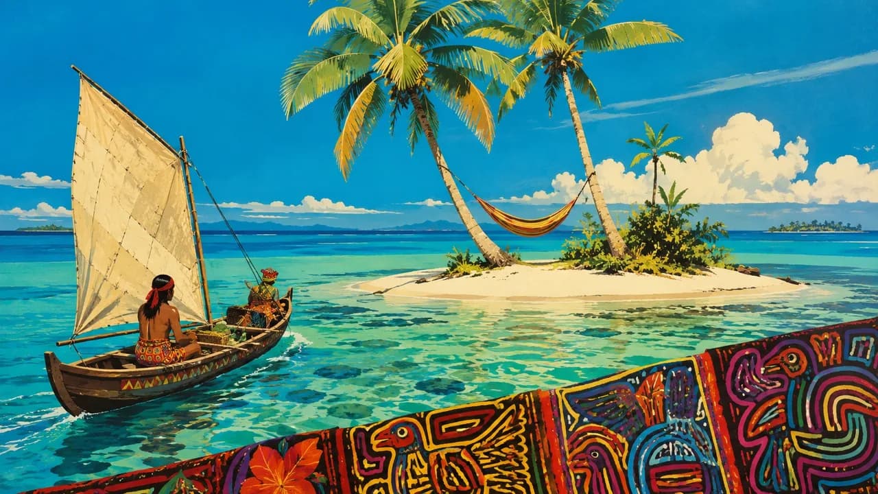
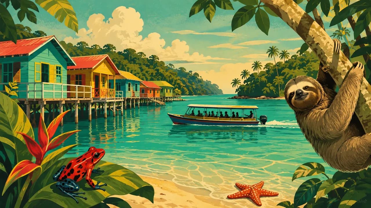
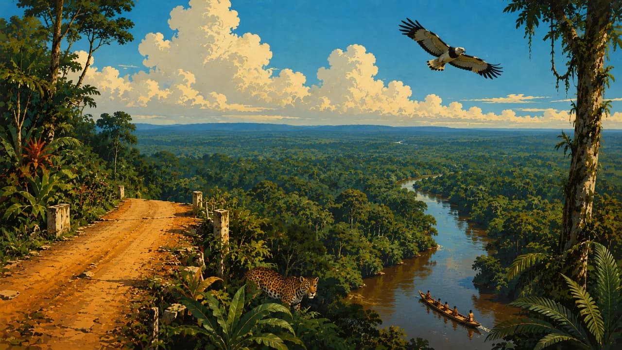
Guna Yala, also known as the San Blas Islands, is a Guna-governed Caribbean territory, not simply a beach archipelago. Arrange community visits, photography and island stays with consent and respect local rules. Bocas del Toro combines island beaches, reefs, mangroves and Afro-Caribbean culture. Emberá-Wounaan communities around Chagres offer community-led cultural encounters, subject to local arrangements rather than unrestricted access.
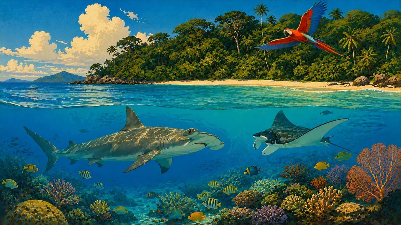
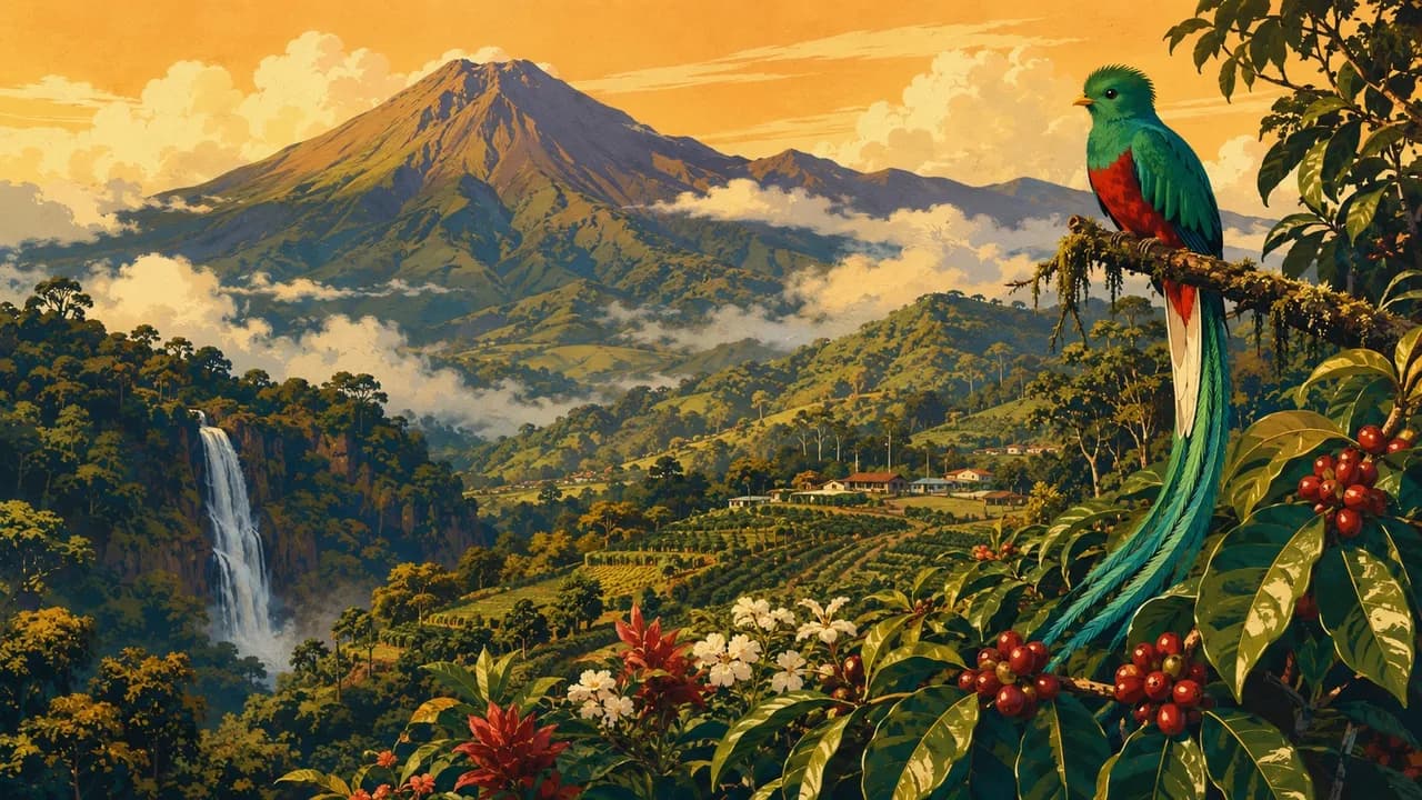
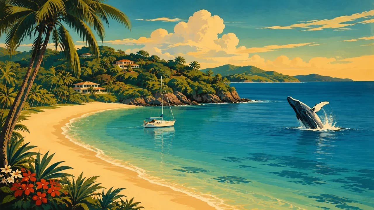
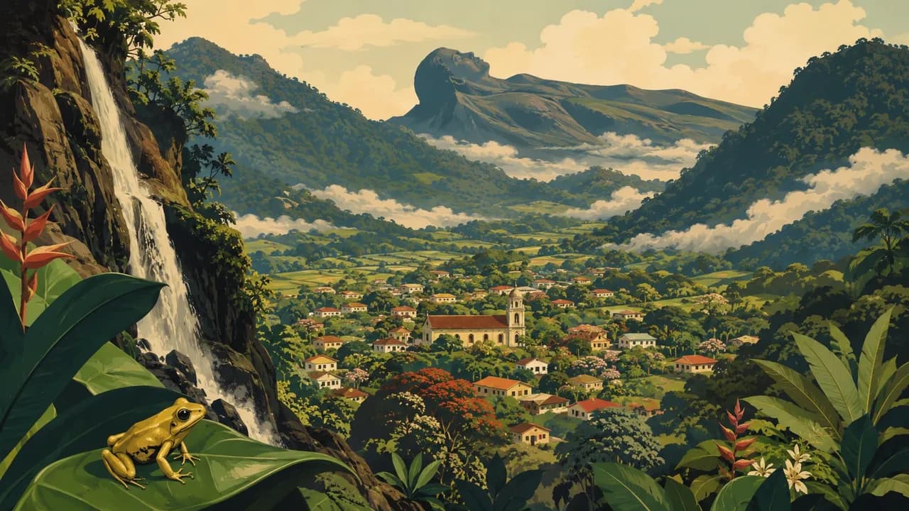
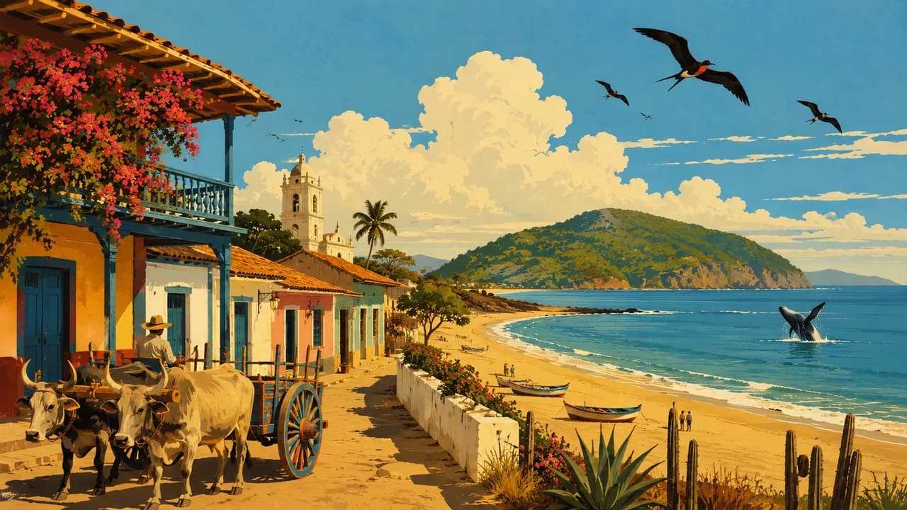
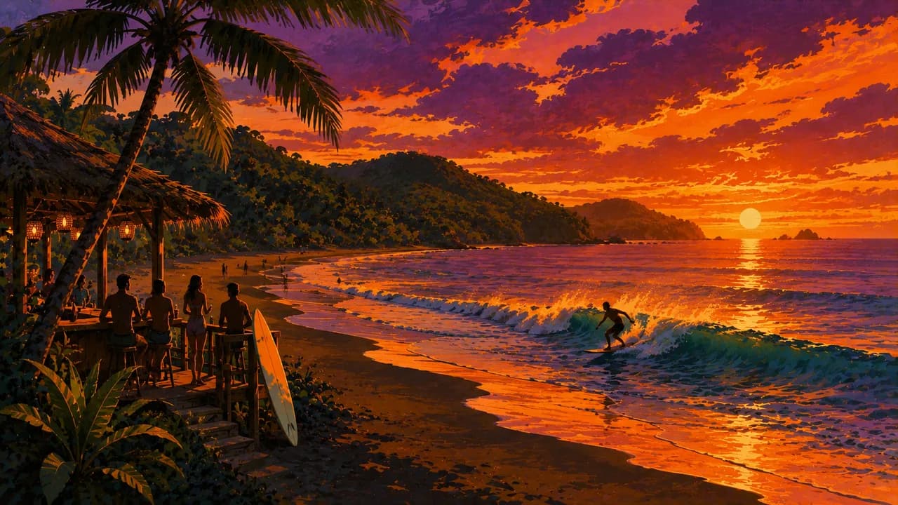
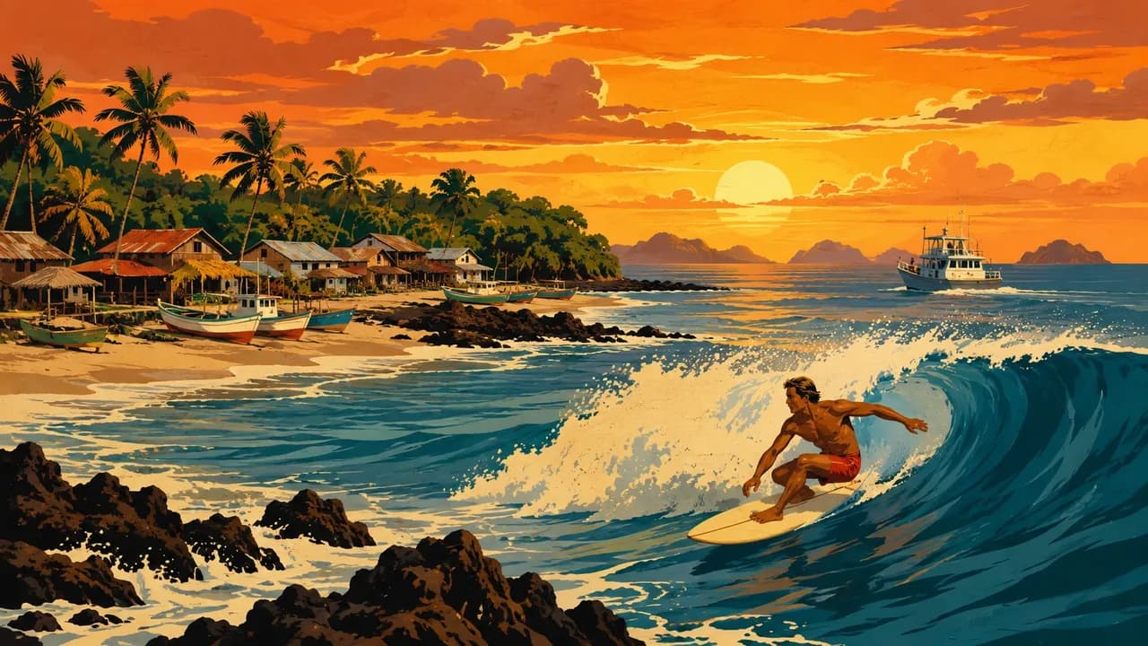
Boquete and the Tierras Altas around Cerro Punta introduce coffee farms, cloud forests and mountain agriculture. La Amistad adds transboundary forest habitats. Volcán Barú excursions require suitable equipment and current access checks, and views of both oceans depend on weather. El Valle de Antón adds a mountain-ringed valley, while Chitré and the Azuero Peninsula highlight pollera dress, crafts and music. Pedasí, Playa Venao and Santa Catalina provide contrasting Pacific coastal and surf settings. Coiba National Park and the Gulf of Chiriquí around Boca Chica offer marine landscapes requiring permitted operators and suitable sea conditions.
Sancocho, carimañolas, seafood, coconut cooking and highland coffee reflect Panama's regional tastes, while balboa coins circulate alongside US dollars. Rainfall, road disruption, currents and boat conditions affect planning, and surf beaches are not automatically safe for swimming. Darién's forests involve specialist arrangements and community consent, not an improvised border crossing.
AI edited
- 10
- Provinces Panama has 10 provinces alongside Indigenous comarcas with distinct administrative status. Comarcas and tourism landscapes are not additional provinces.
- ≈ 4.1 million
- Population Rounded from 4,064,780 people enumerated in the INEC census of 2023. A historical census count, not a current population estimate or projection.
- ≈ 75,000 km²
- Area Rounded from the UN statistical surface-area reference of 75,320 square kilometres. Statistical definitions differ between sources. This does not endorse territorial claims.
- Spanish
- Language Spanish is the official language. English and Indigenous languages are used in different communities, with proficiency varying by place.
- Indigenous languages & English
- Other languages These include Guna, Ngäbere, Buglere, Emberá, Woun Meu, Naso and Bribri, as well as English and Creole varieties in some Caribbean communities. Usage varies locally.
- Balboa (PAB) & US dollar (USD)
- Currencies The national currency is the balboa, code PAB. Balboa coins circulate alongside US dollars, code USD. Confirm cash needs, payment currency and card acceptance in advance.
- A · B
- Socket types Plug types A and B. Confirm voltage, frequency and device compatibility with accommodation. A travel adaptor does not convert voltage.
- Panama City
- Capital Panama City, locally Ciudad de Panamá, is the national capital. The province of Panamá is a separate administrative designation.
- Right-hand traffic
- Driving side Traffic drives on the right. Darién is not a through-road connection to Colombia.
- UTC−5
- Time zone UTC−5 year-round without seasonal clock changes. Differences from your browser and saved home location may change when those places switch clocks.
Panama on the map

Map data: geoBoundaries (CC BY 4.0), © OpenStreetMap contributors (ODbL), Natural Earth
Climate and best time to travel
December to April is generally drier on the Pacific side, while Caribbean rainfall can continue throughout the year and highland conditions vary with elevation. These are planning windows, not guaranteed weather or opening seasons. Heavy rain, river levels and sea conditions can disrupt roads and boats. Remote regions need separate planning and community consent.
Destinations in Panama
 AI generated
 AI generated
 AI generated
 AI generated
 AI generated
 AI generated
 AI generated
 AI generated
 AI generated
 AI generated
 AI generated
 AI generated