Belize
Coral reefs, cayes and Maya heritage meet forest landscapes, living cultures and Caribbean food traditions.
Worth coming back!
Wanderlama keeps growing with new destinations, helpful information and exciting features. Check back soon and discover what is new!
Travel to Belize
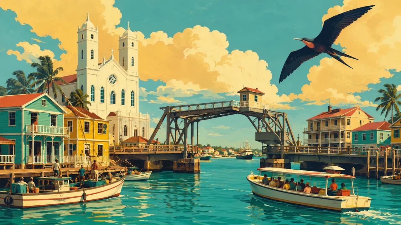
Belize is an English-speaking Central American country between Mexico, Guatemala and the Caribbean Sea. Belize City combines maritime history with onward connections, while Belmopan is the capital. Corozal Town and Orange Walk introduce northern bayfronts, markets and Mestizo cultural traditions.
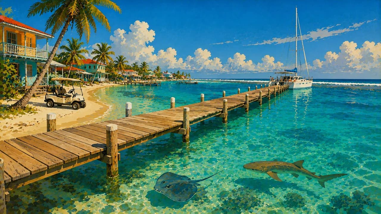
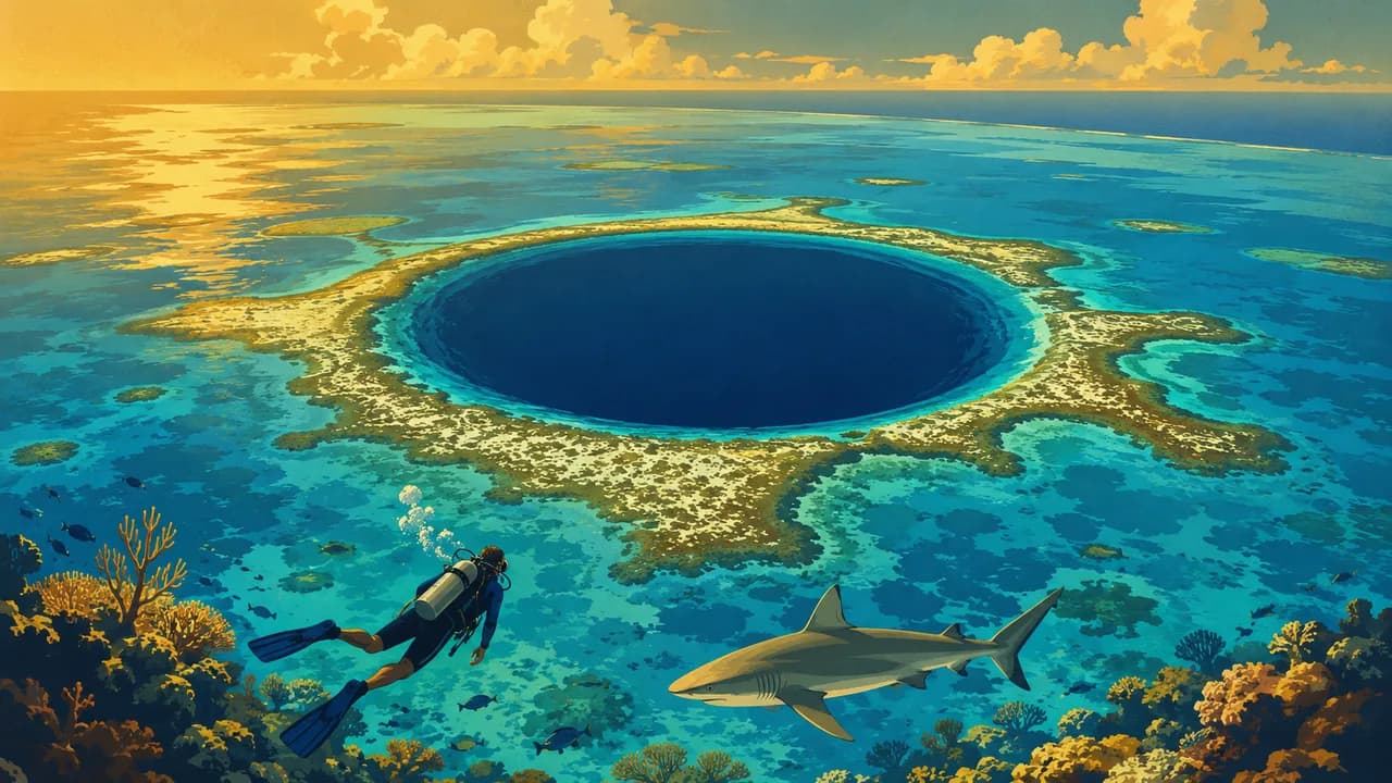
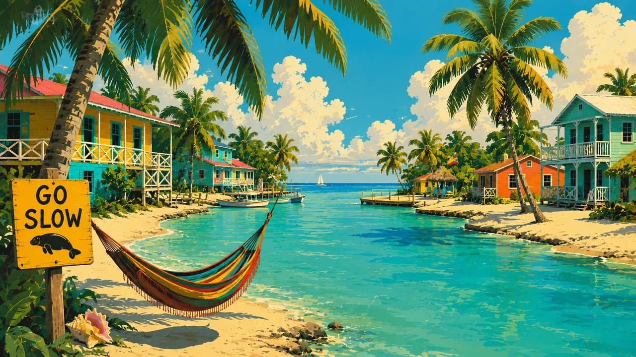
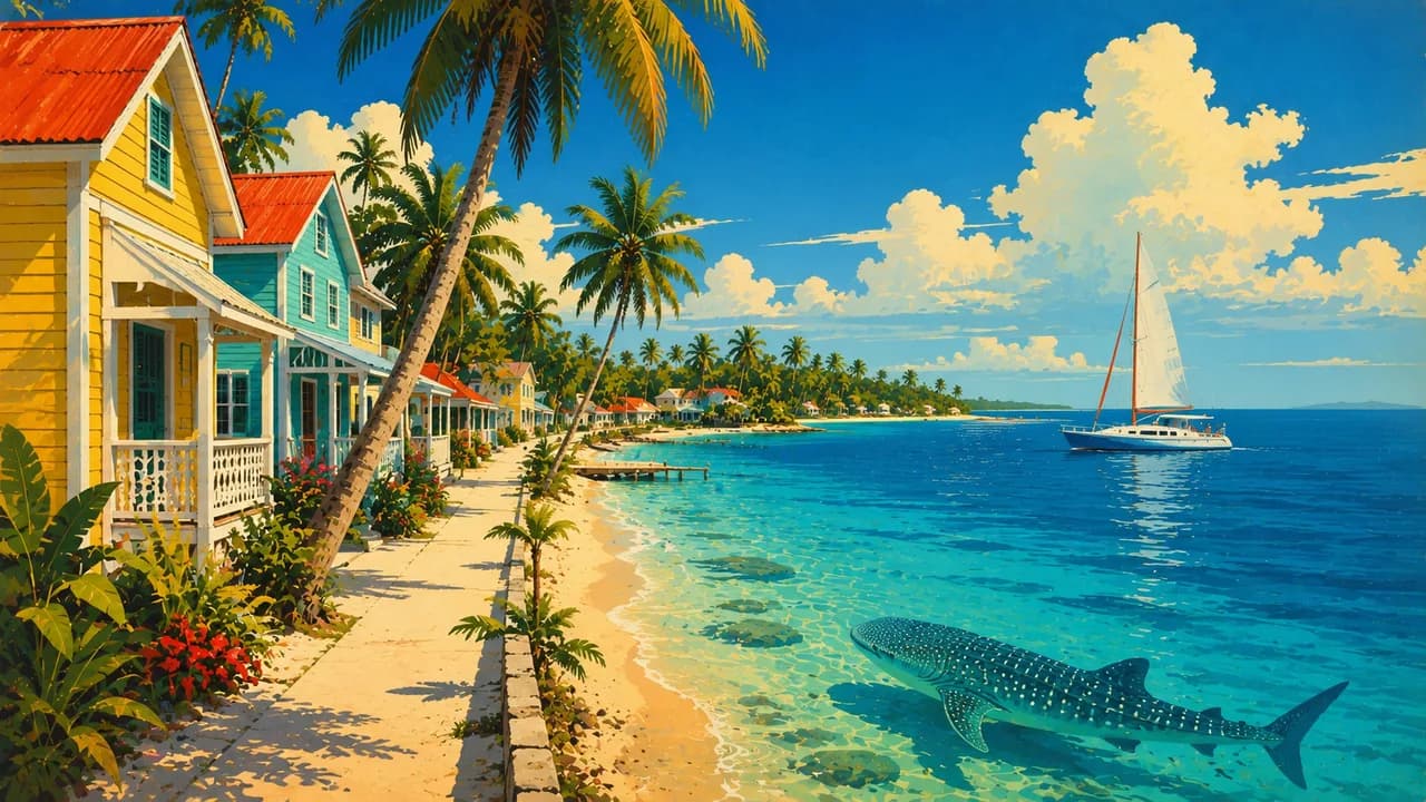
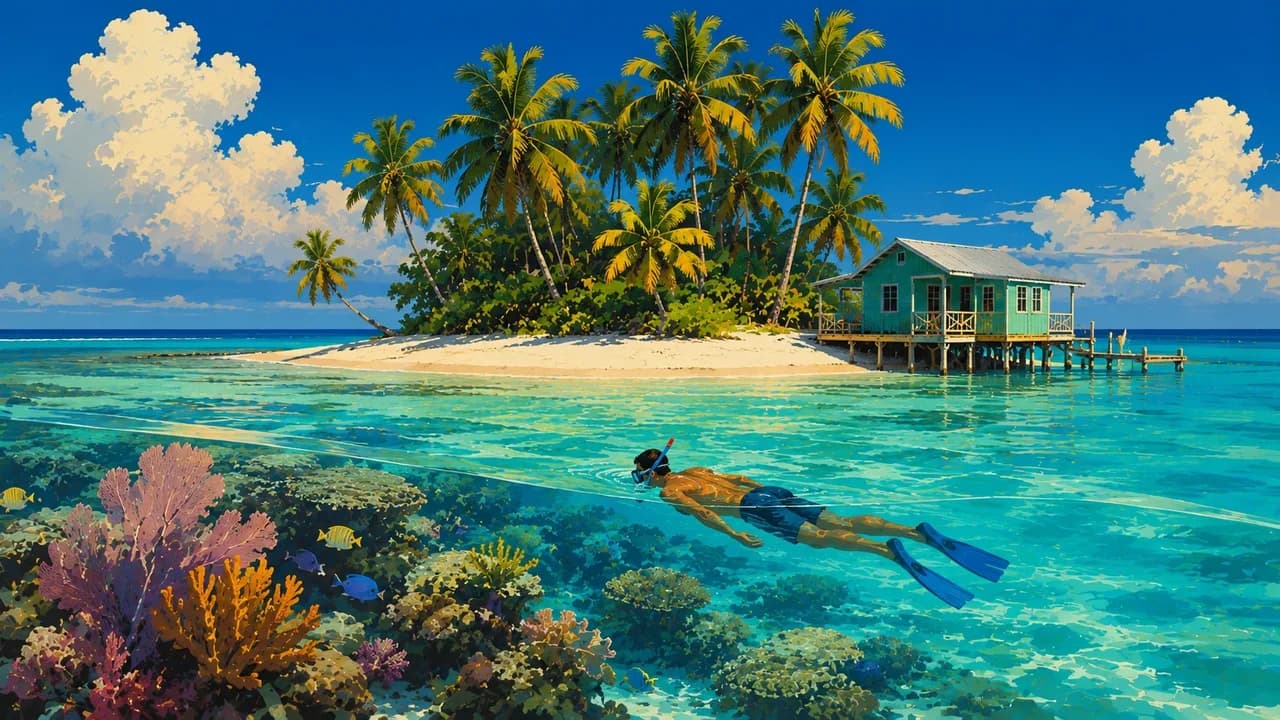
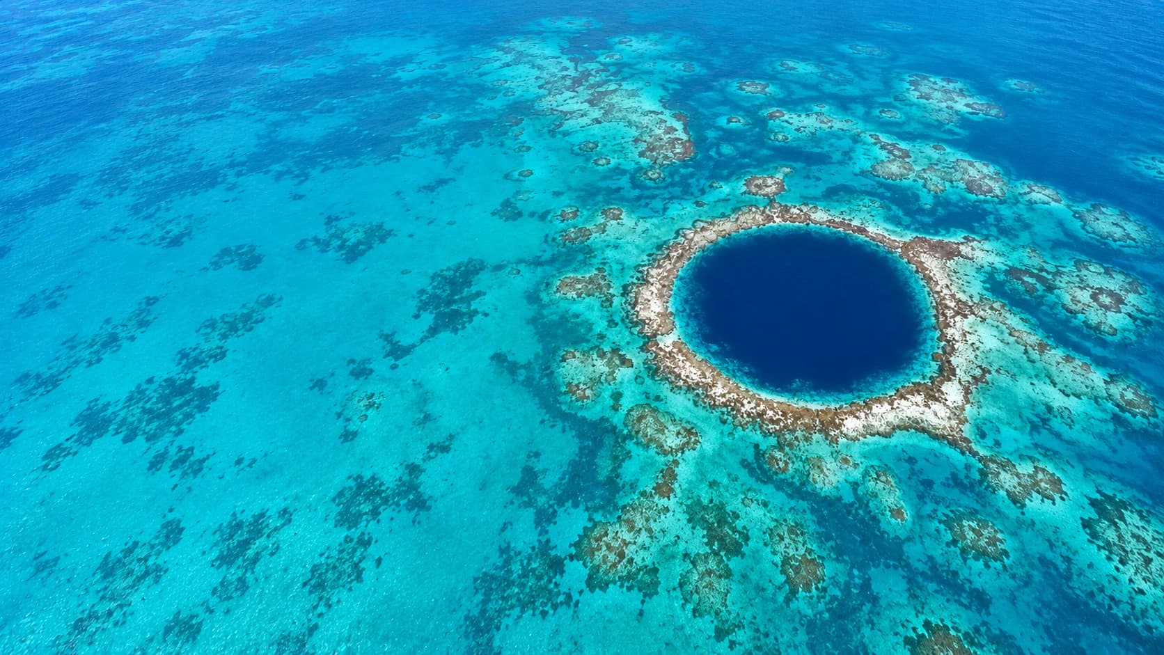
Offshore, protected parts of the Belize Barrier Reef form a UNESCO World Heritage Site. Ambergris Caye, Caye Caulker and Tobacco Caye provide bases for reef excursions, while Placencia adds mainland beaches. The Great Blue Hole is a marine sinkhole at Lighthouse Reef. Snorkelling and diving need suitable conditions and qualified operators, with activities matched to experience. Mangroves, seagrass and corals are sensitive habitats, not places to touch or disturb wildlife.
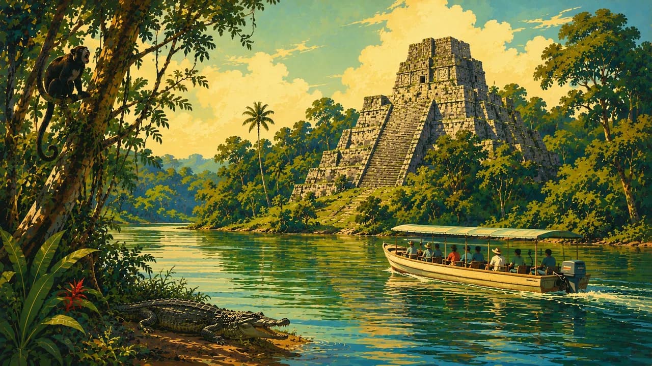
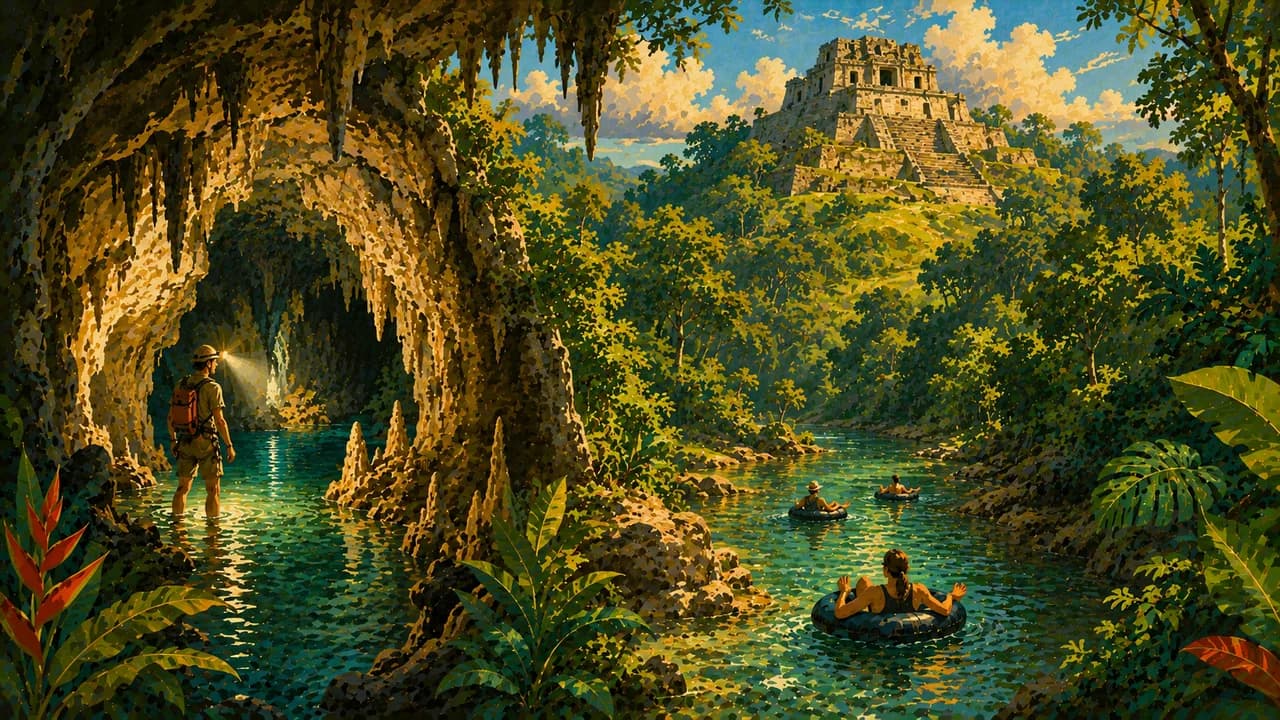
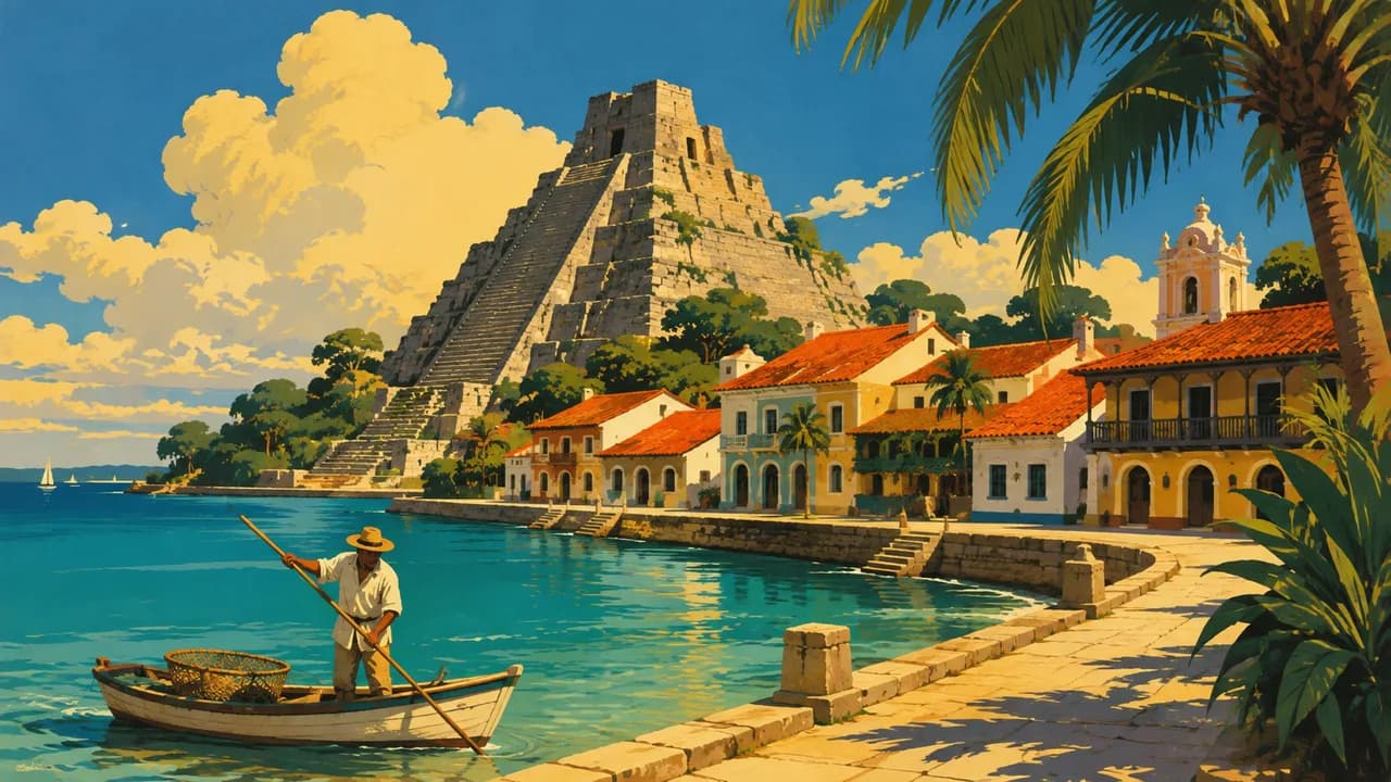
San Ignacio is a base for Cayo's rivers, caves and Maya sites such as Xunantunich, Cahal Pech and Caracol. Farther north, Lamanai connects archaeological heritage with the New River landscape. Actun Tunichil Muknal preserves Maya ritual remains and requires a certified cave guide. Mountain Pine Ridge adds pine forests, waterfalls and rocky pools. Rain and changing water levels can affect cave and river access.
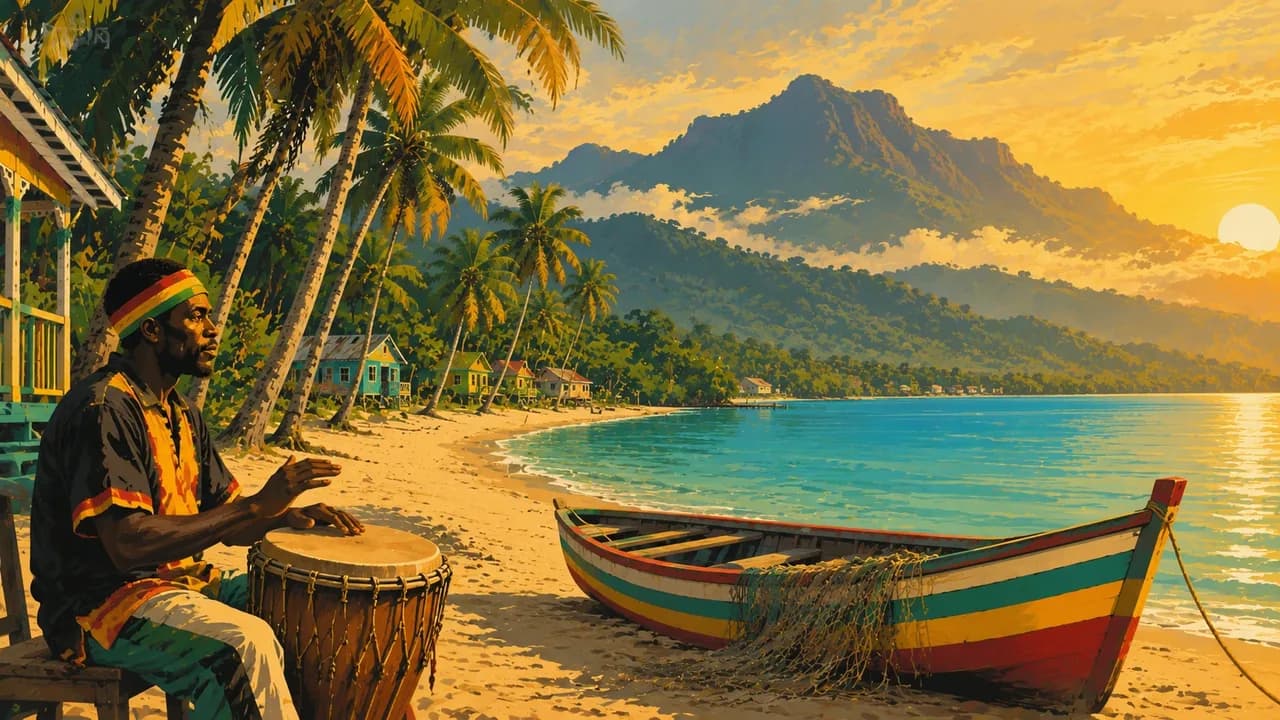
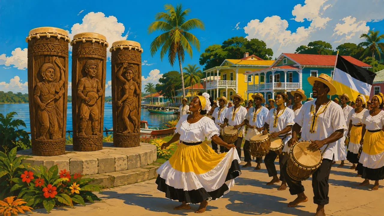
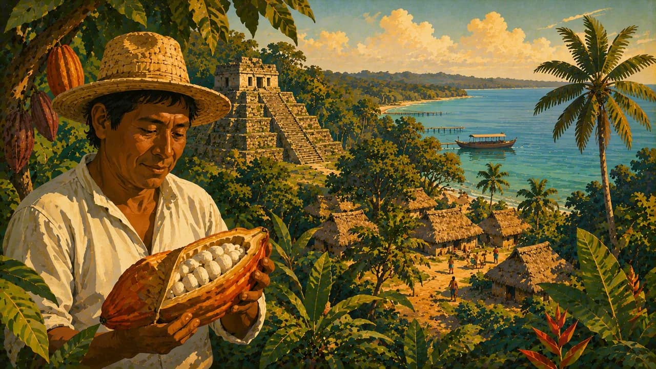
Hopkins and Dangriga introduce Garifuna music, drumming and food alongside living community traditions. Around Punta Gorda in Toledo, visits arranged with Maya hosts can explore cacao and food traditions. Belize's cultural diversity also includes Creole, Mestizo and Mennonite communities. Cockscomb Basin protects forest habitats, while Crooked Tree offers wetland birdwatching. Wildlife sightings, including jaguars, are never guaranteed.
Rice and beans with stewed chicken, fry jacks and Garifuna hudut reflect different culinary traditions. Hudut combines coconut fish broth with mashed plantain, and cacao links farming with local chocolate making. Rainfall is generally heavier in the south, with wetter conditions across much of the country around June to November. Boat transfers, rural journeys and border crossings into Mexico or Guatemala need current checks and contingency time. Visits depend on host consent and conservation rules to community and protected areas.
AI edited
- 6
- Administrative districts Belize, Cayo, Corozal, Orange Walk, Stann Creek and Toledo. These districts are not tourist landscape regions.
- ≈ 397,000
- Population Statistical Institute of Belize census 2022, 397,483 residents. The displayed value is rounded.
- ≈ 23,000 km²
- Area Rounded from the country area of 22,966 square kilometres. This is not an assessment of border or sovereignty claims.
- English
- Language English is the official language, while other languages are spoken in daily life depending on the region and community.
- Kriol, Spanish & others
- Other languages These include Kriol, Spanish, Maya languages and Garifuna. They represent distinct living language traditions.
- Belize dollar (BZD)
- Currency BZD, often written BZ$. Distinguish Belize dollars from US dollars in quoted prices and confirm payment arrangements beforehand.
- A · B · G
- Socket types Electrical Safety First lists types A, B and G. Check voltage, frequency and device compatibility with your accommodation, a plug adaptor does not convert voltage.
- Belmopan
- Capital Belmopan is in Cayo District and is the capital. Belize City is a different place and an important transport hub.
- Right-hand traffic
- Driving side Drive on the right.
- UTC−6
- Time zone Central Standard Time applies year-round without clock changes. The clock compares browser time and a home time zone where provided.
Belize on the map

Map data: geoBoundaries (CC BY 4.0), © OpenStreetMap contributors (ODbL), Natural Earth
Climate and best time to travel
Belize is tropical, with rainfall and travel conditions varying by region. February to April usually provides drier-season orientation for outdoor activities, without guaranteeing sunshine or calm seas. The south is wetter and its rainy season often starts earlier. June to November is wetter across much of the country. Water levels can close caves and rivers, while wind and sea conditions can prevent reef trips. Actun Tunichil Muknal requires a certified cave guide. Wildlife encounters are never guaranteed, and host consent and conservation rules remain essential.