El Salvador
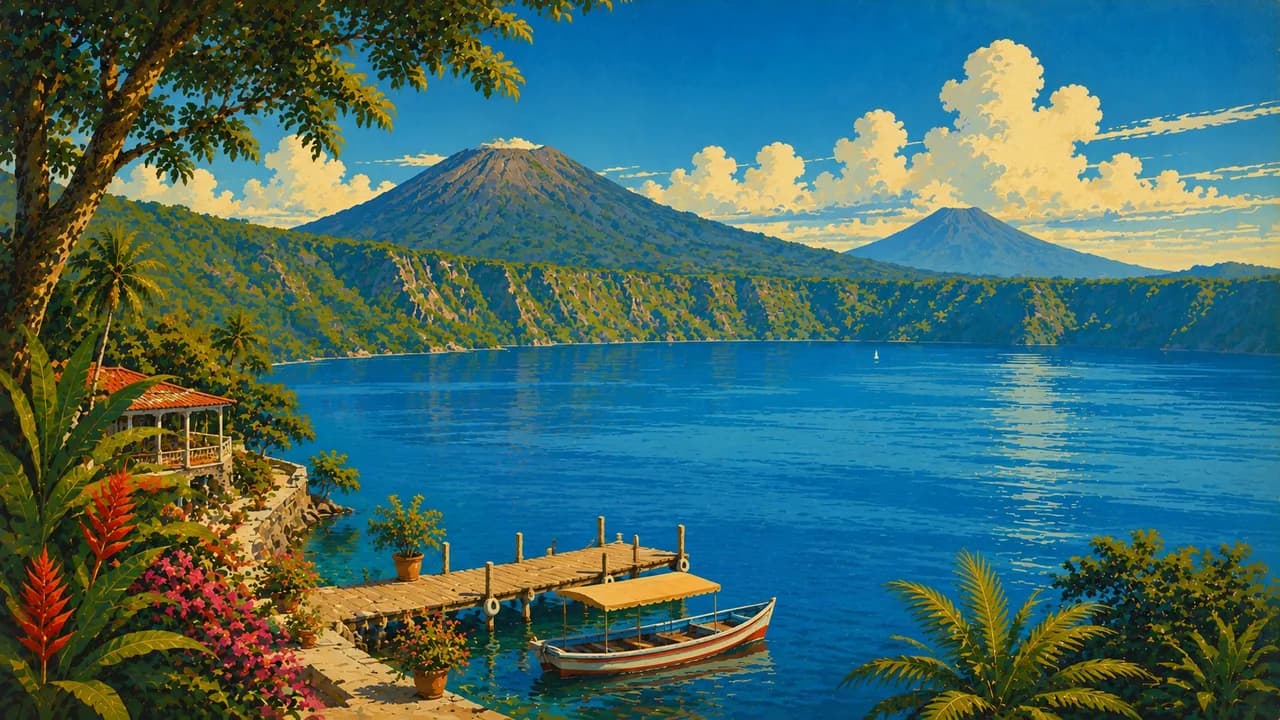
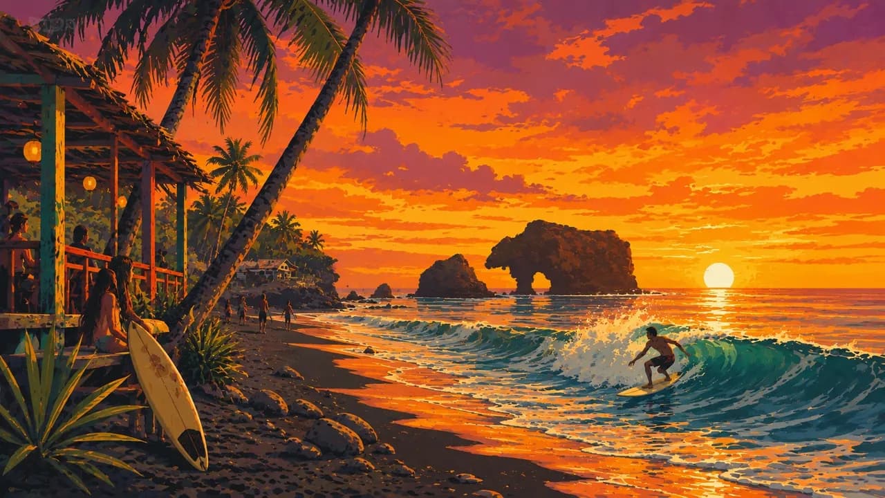
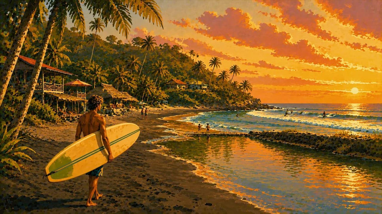
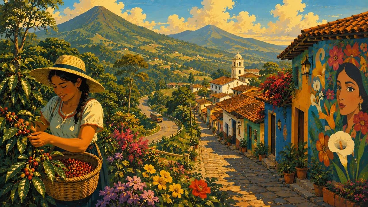
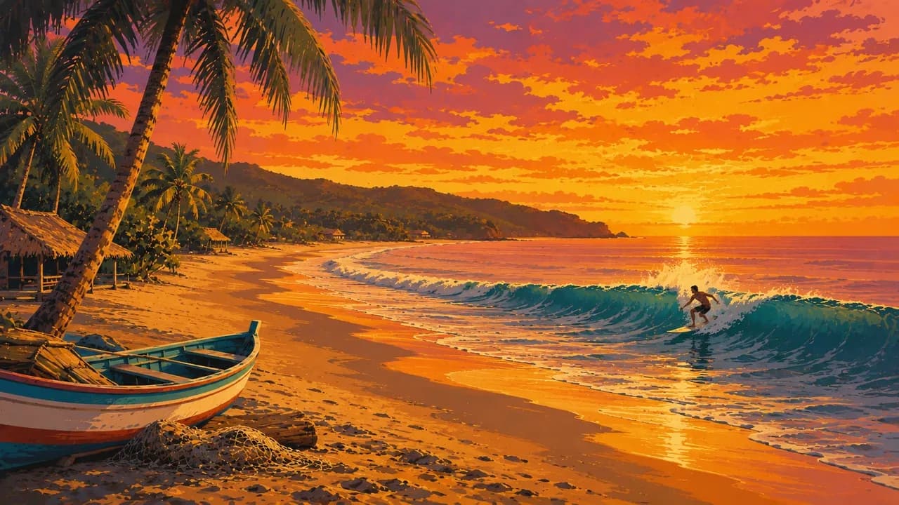
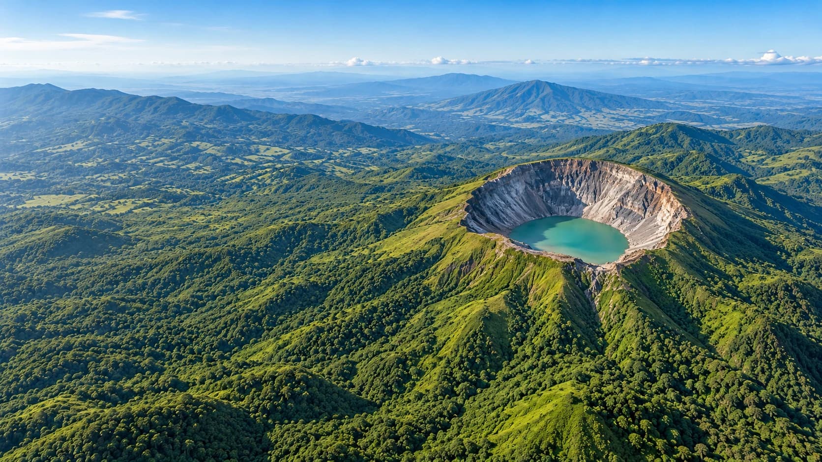
Volcanoes and crater lakes, a vibrant surf culture and Maya heritage meet coffee highlands and Salvadoran cooking.
Worth coming back!
Wanderlama keeps growing with new destinations, helpful information and exciting features. Check back soon and discover what is new!
Travel to El Salvador
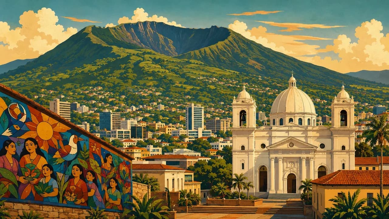
El Salvador is Central America's smallest country and its only country without a Caribbean coast. Pacific shores, volcanic highlands and coffee landscapes shape its geography. The capital San Salvador combines the Metropolitan Cathedral, National Palace and modernist El Rosario church with museums and everyday city life. Nearby El Boquerón introduces the crater landscape of San Salvador Volcano.
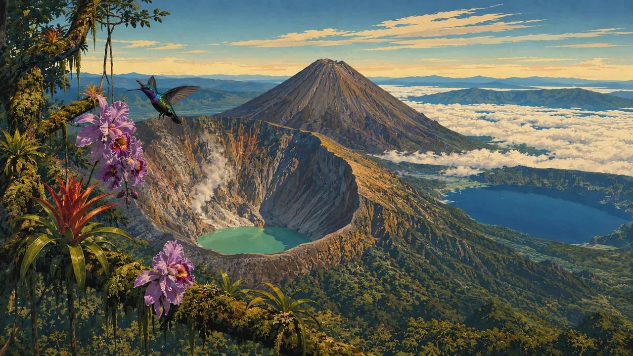
In the west, the Ruta de las Flores links coffee-growing hills with towns such as Juayúa, Apaneca and Concepción de Ataco. Food markets, murals and craft traditions complement plantation visits. Santa Ana adds urban architecture, while Lake Coatepeque offers a separate volcanic-lake landscape. Los Volcanes National Park connects the landscapes of Cerro Verde, Izalco and Santa Ana Volcano, known for its crater lake.
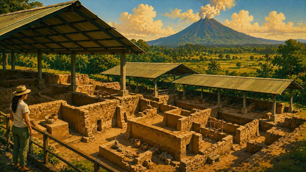
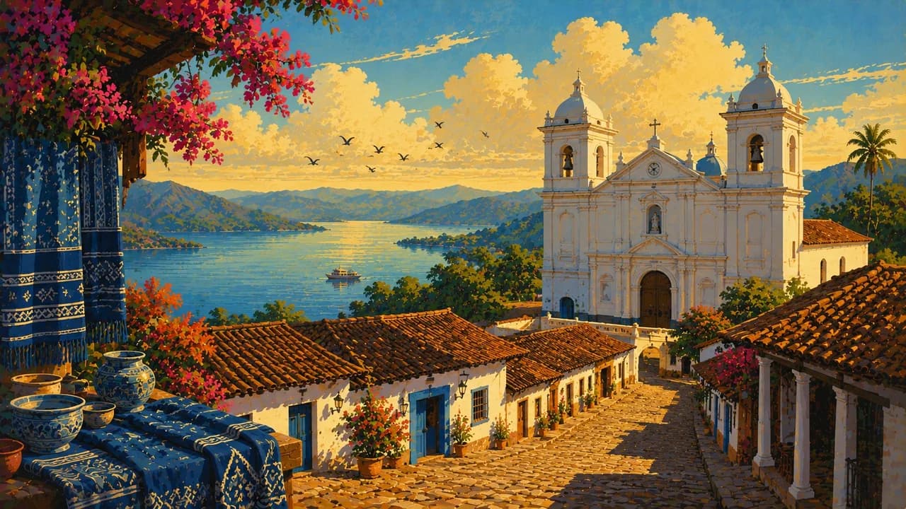
The UNESCO-listed Maya settlement of Joya de Cerén preserves evidence of daily farming life beneath volcanic ash. Tazumal and San Andrés add monumental archaeological sites. Suchitoto combines colonial streets and arts with indigo-dyeing traditions above Lake Suchitlán, also called the Cerrón Grande reservoir.
El Tunco, El Zonte and Playa El Cuco introduce different stretches of Pacific coast, with surfing and coastal communities. Strong waves and currents mean that surfing conditions do not imply safe swimming. Bahía de Jiquilisco protects mangroves and estuarine habitats, while El Imposible and Montecristo add forest and cloud-forest landscapes. Wildlife sightings and access depend on conditions and conservation rules.
In the eastern highlands, Perquín preserves memories of the civil war through museums. The Gulf of Fonseca and Conchagua add island views and coastal mountain scenery. Pupusas, the national dish, are filled griddle cakes served with curtido, complemented by tamales, yuca dishes and locally grown coffee. Rain, volcanic activity and changing trail conditions require current local checks and suitable guidance. Journeys between mountain, coastal and rural regions need contingency time.
AI edited
- 14
- Administrative departments The 14 departments have been divided into 44 municipalities with 262 districts since the administrative reform. They are not tourism regions.
- 2
- Active volcanoes San Miguel (Chaparrastique) and Santa Ana (Ilamatepec) have erupted since 2000. Izalco last erupted in 1966, San Salvador in 1917.
- ≈ 6.03 million
- Population Rounded from 6,029,976 residents recorded in the 2024 census. Not a current population estimate.
- ≈ 21,000 km²
- Area Rounded from approximately 21,041 square kilometres. El Salvador has a Pacific coastline but no Caribbean coast.
- Spanish
- Language Spanish is the official language and the main language of everyday life. English proficiency varies by place and tourism service.
- Nawat & others
- Other languages Education and cultural initiatives preserve and revitalise the indigenous Nawat language. It is not a widely spoken everyday language nationwide.
- US dollar (USD)
- Currency Prices are commonly quoted in US dollars. Check cash and card acceptance locally, digital payments are not universally available.
- A · B
- Socket types Plug types A and B. Confirm voltage, frequency and device compatibility with your accommodation. A travel adaptor does not convert voltage.
- San Salvador
- Capital San Salvador is the capital and a base for museums, urban history and trips into the central highlands.
- Right-hand traffic
- Driving side Traffic drives on the right.
- UTC−6
- Time zone UTC−6 year-round without seasonal clock changes. Differences from your browser and saved home location can change when those places switch clocks.
El Salvador on the map

Map data: geoBoundaries (CC BY 4.0), © OpenStreetMap contributors (ODbL), Natural Earth
Climate and best time to travel
November to April is generally drier, with more rain from May to October. Transitions and regional differences occur, and the highlands are cooler than the coast. Calendar labels are planning guidance, not weather or access guarantees. Surf conditions do not establish safe swimming conditions.